Stats
- Distance: 353 km (219 miles)
- Max Elevation: 2290 m (7514 feet)
- Min Elevation: 27 m (89 feet)
- Ascent: 5022 m (16479 feet)
- Descent: 5773 m (18943 feet)
Description
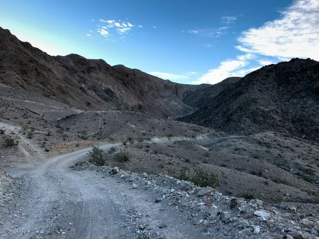
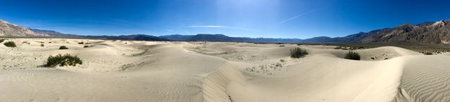
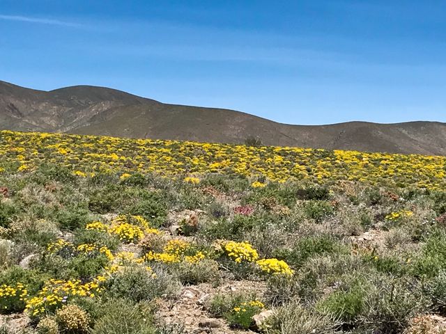
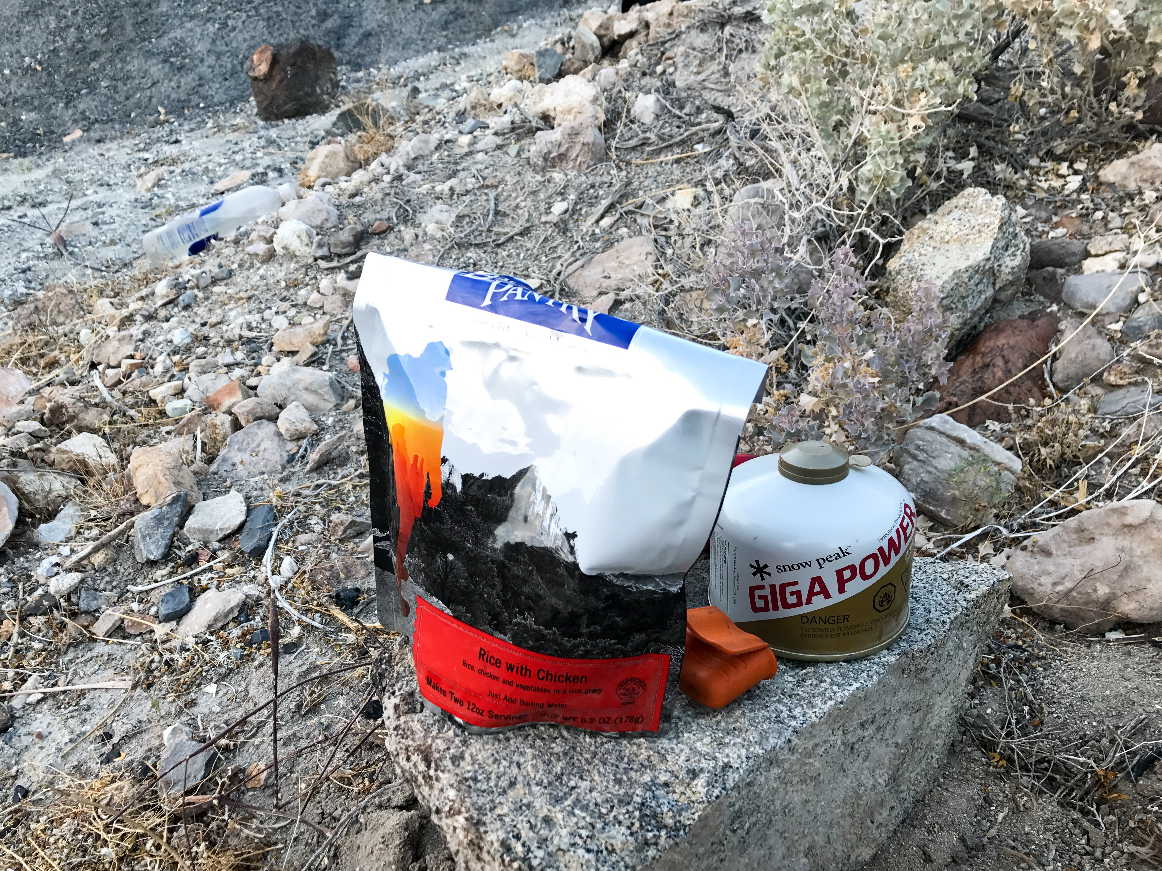
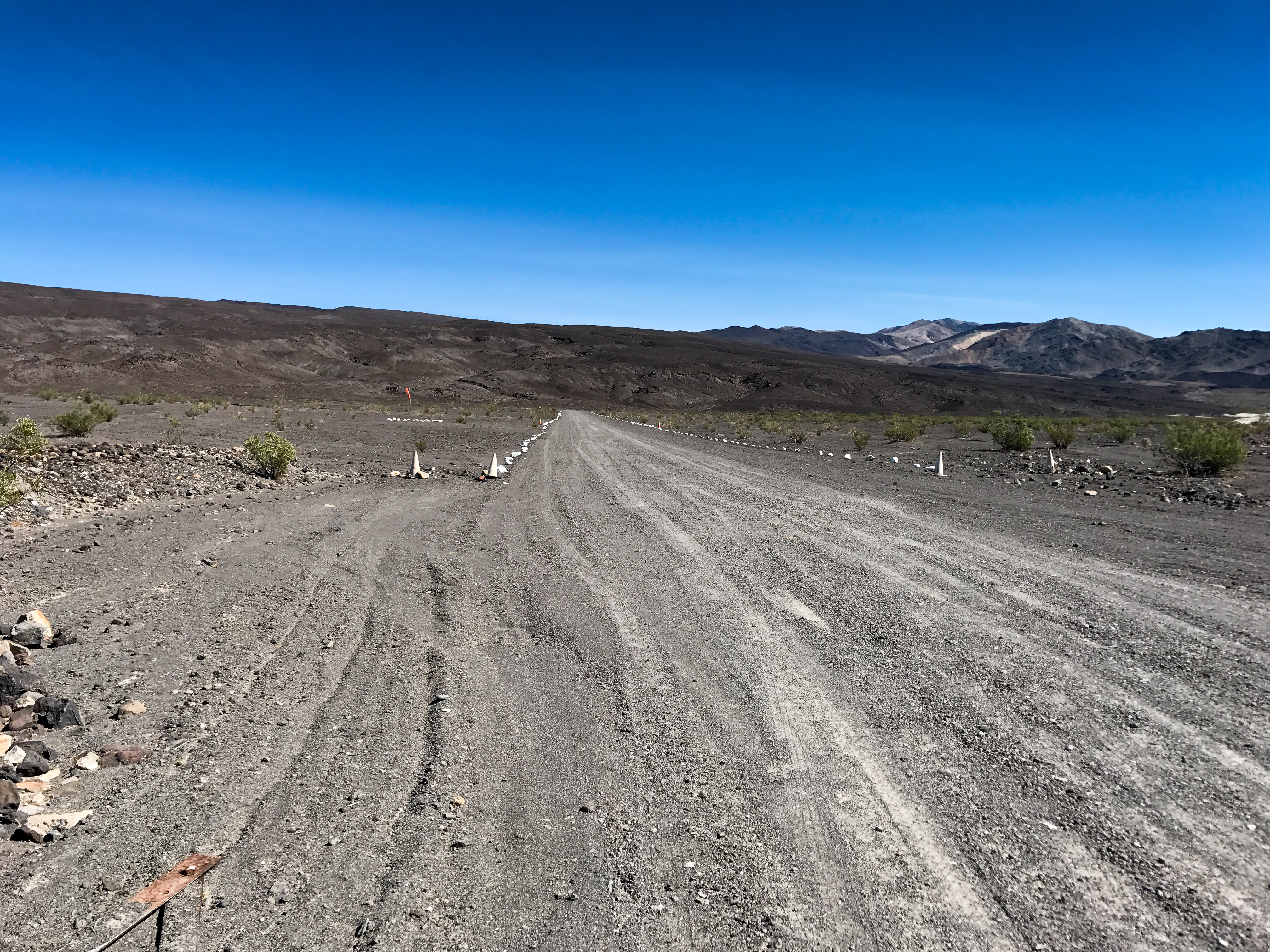
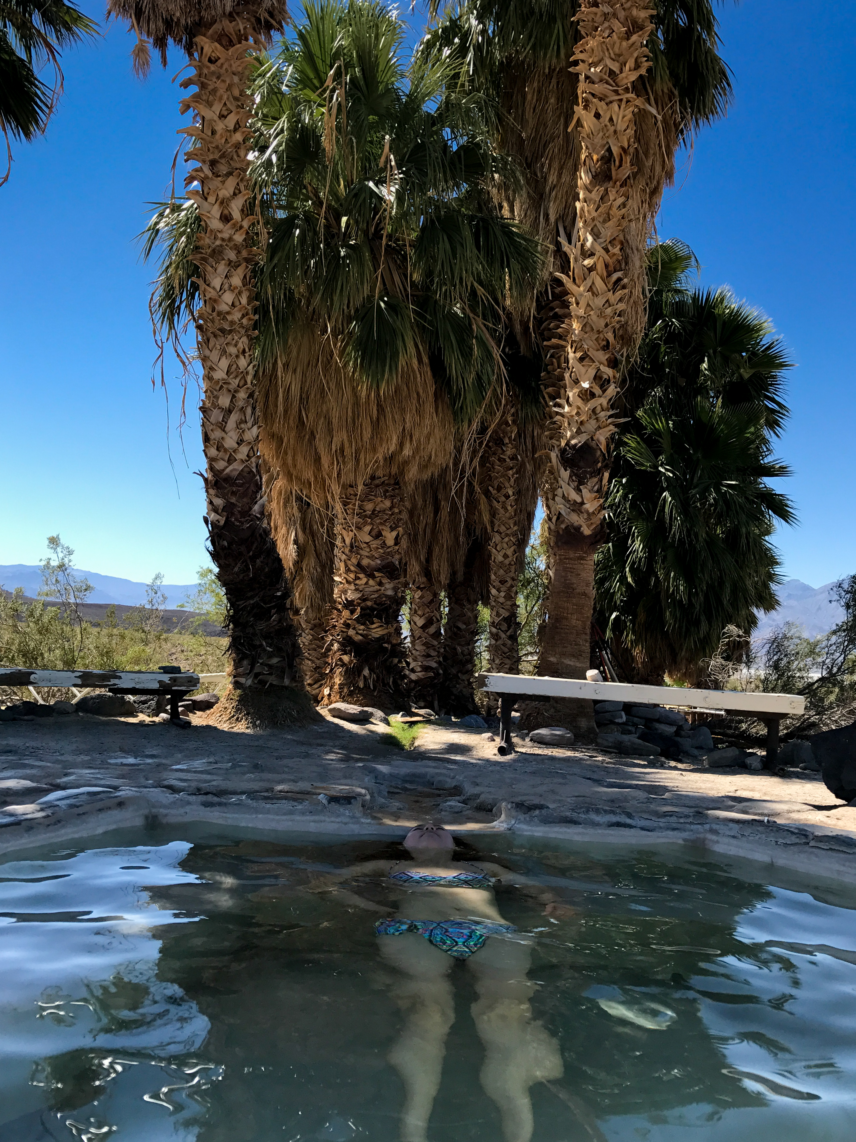
We finished out the rest of Lippencot Road which got a lot easier. Then headed back across Saline Valley to the hot springs for lunch. We blasted back out the way we came through the mountains to Big Pine with a couple of short cuts (detours). We then took the van back around the park to Stovepipe Wells where we stayed in the motel and soaked up some much needed air conditioning as the temps were well over 100 degrees. We ate ramen in the hotel room and went to bed before the sun went down complete exhausted. The heat really takes it out of you.Photos
-
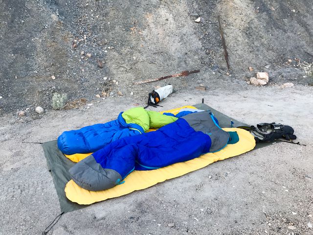
Sleeping out under the stars. Easily warm enough to not need a tent or sleeping bags.
-
-
-
-
-
-
-
-
-

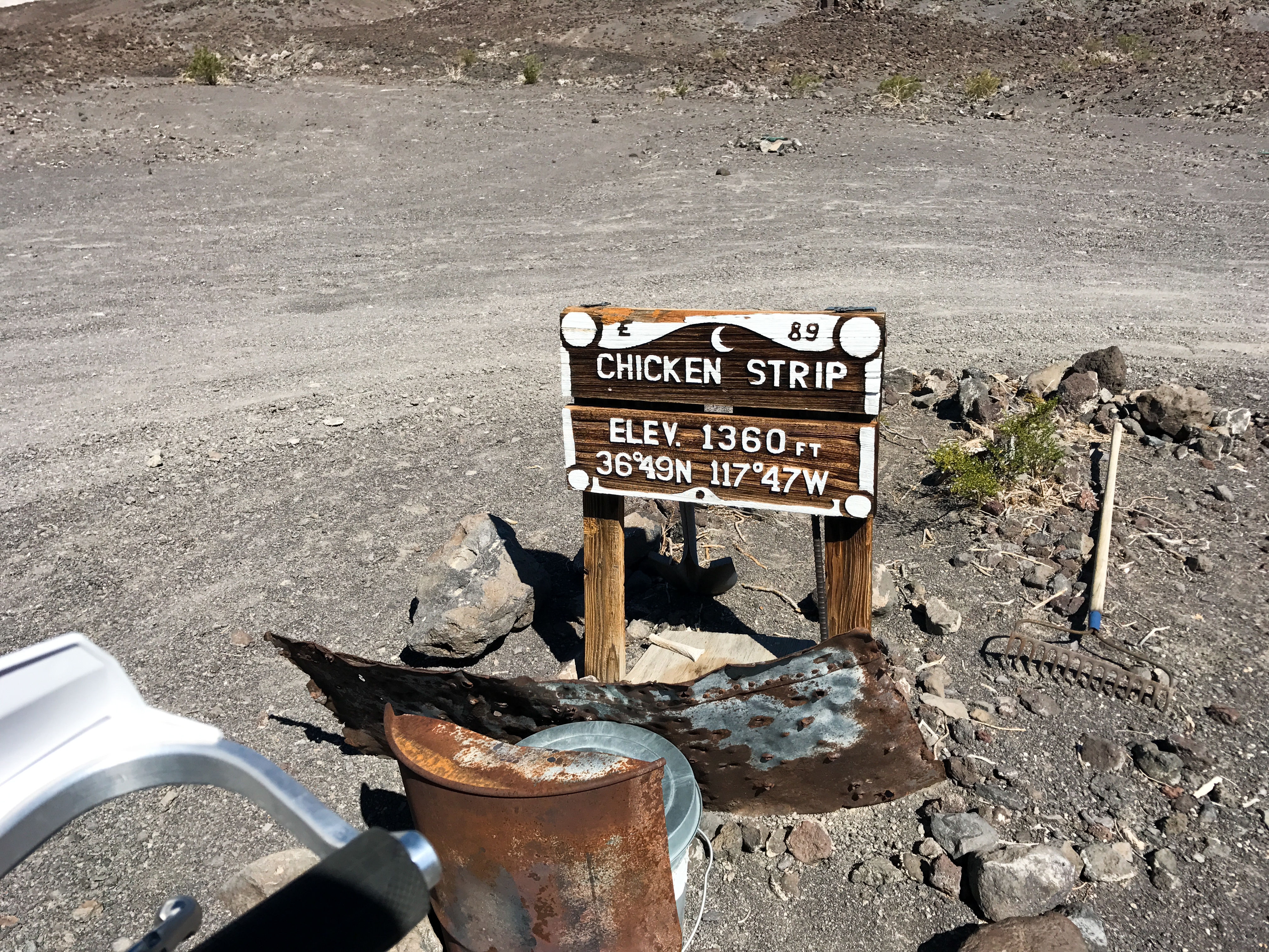
Landing strip in the middle of nowhere.
-

-

-

-
-
-

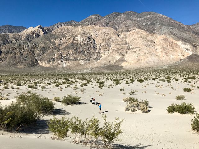
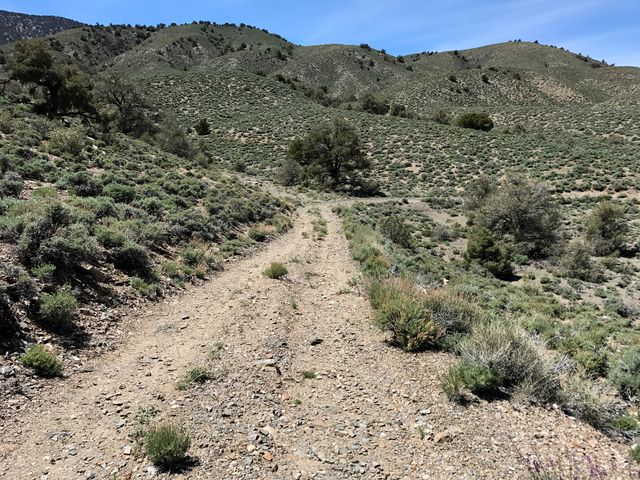
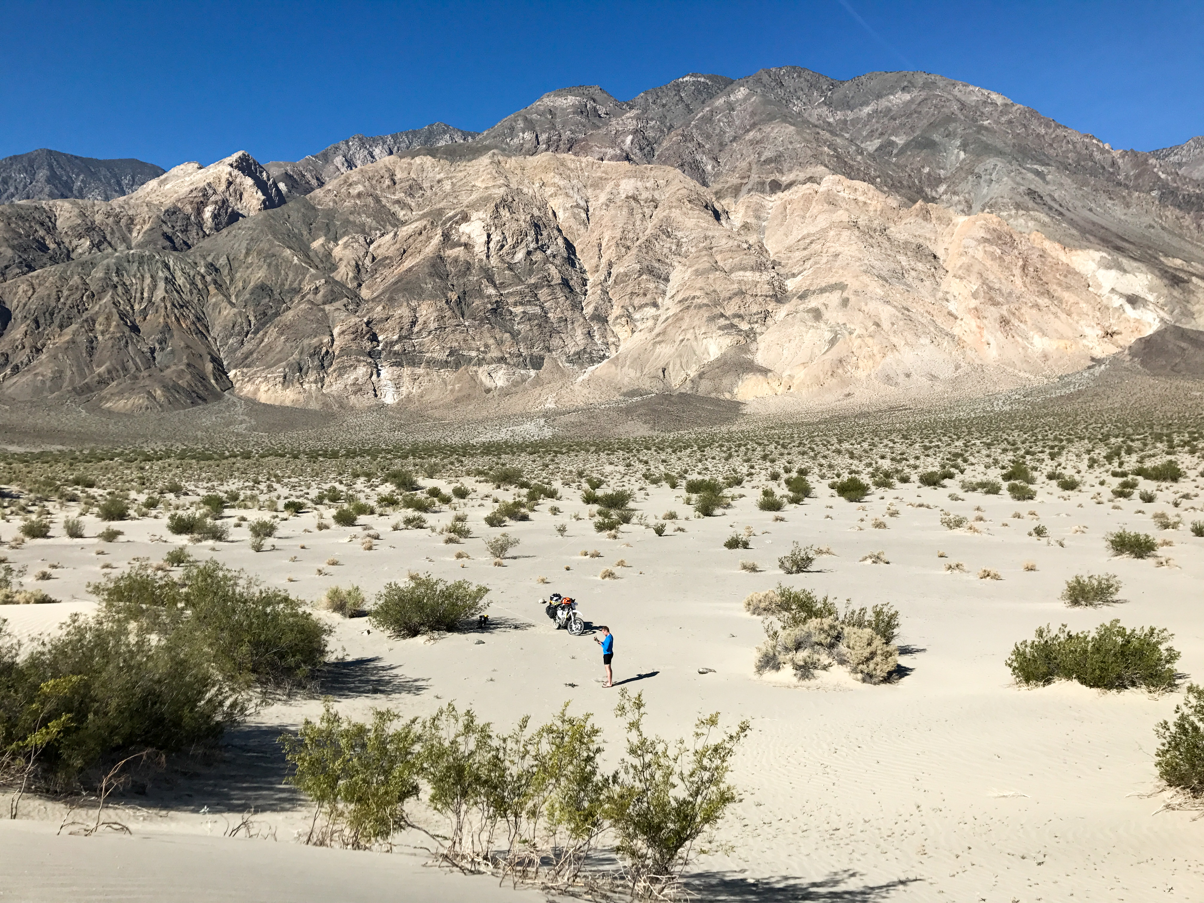
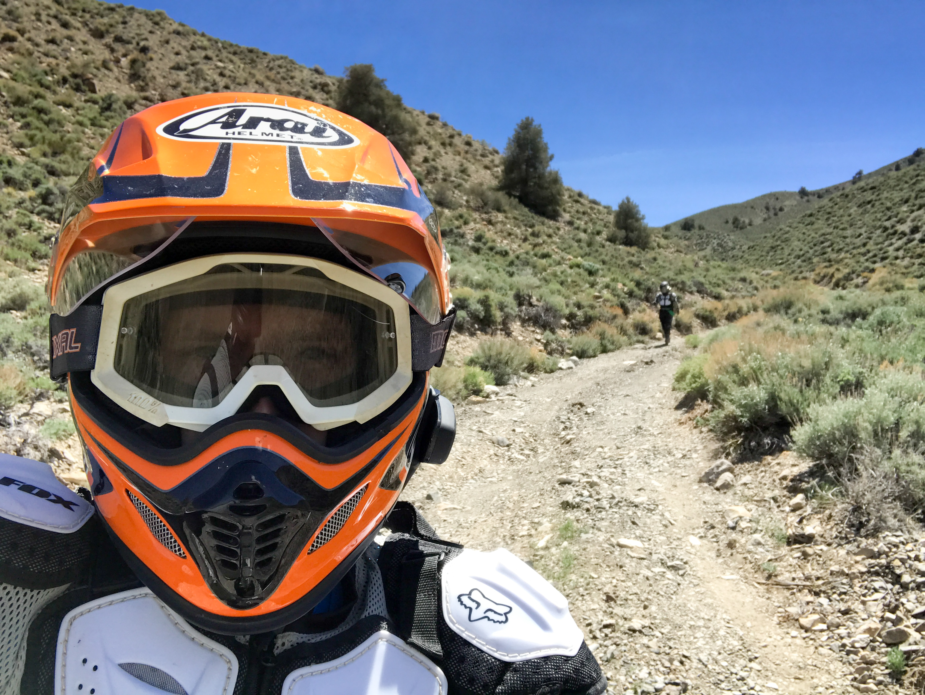
Taking the backway so Yoonjee has to walk for part of it.
-
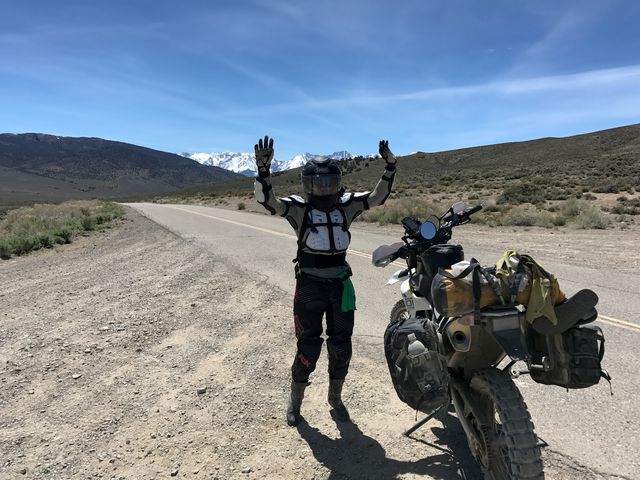
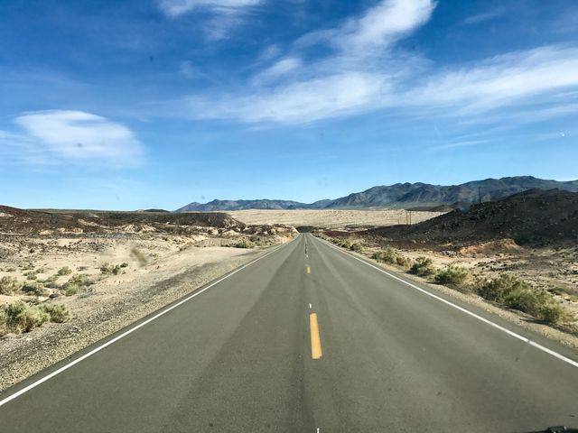
So happy to be back on pavement!
-
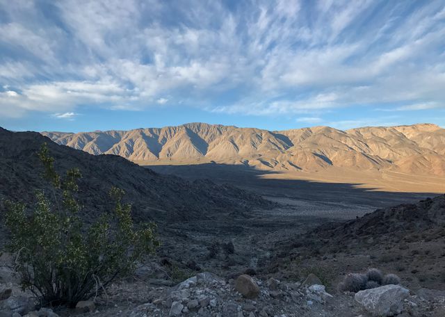
Beautiful drive across the park in the van.


0 comments:
Post a Comment