Home /
Autoblog
/
2014-09-29 Zacatecas to San Miguel de Allende
2014-09-29 Zacatecas to San Miguel de Allende

Stats
- Distance: 374 km (232 miles)
- Max Elevation: 2437 m (7996 feet)
- Min Elevation: 1855 m (6089 feet)
- Ascent: 3603 m (11823 feet)
- Descent: 4028 m (13219 feet)
Description
Nothing here yet.
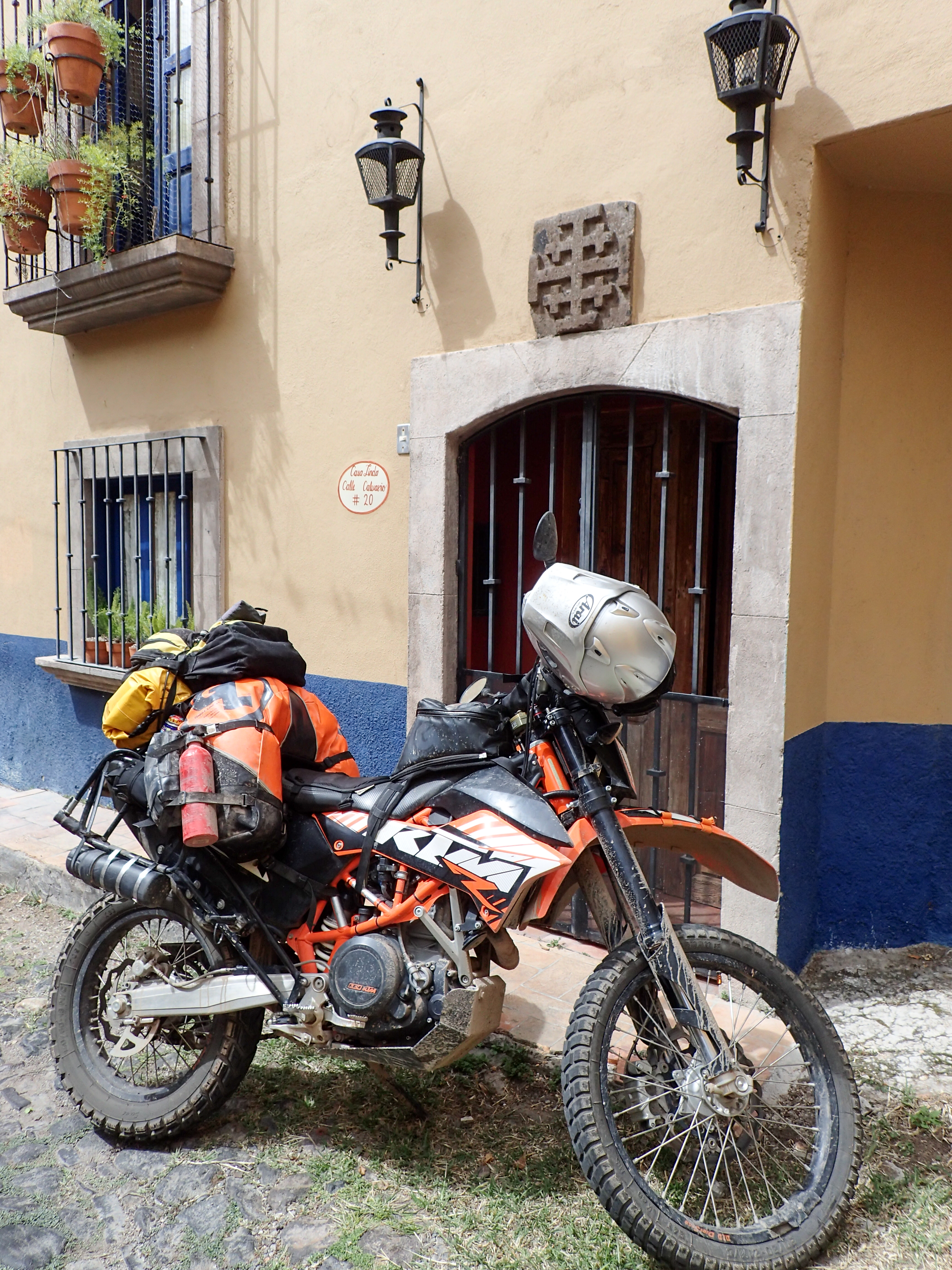
Photos
Map
Download GPX
Elevation Chart


0 comments:
Post a Comment