
The Route
GPX Download
Loja, Ecuador to La Balsa, Peru
After a fun week riding through Ecuador with a bloke I met at the border of Ecuador, we headed our separate ways. Alex would head back to Colombia and I would head south to Peru through a tiny border crossing that I knew little about.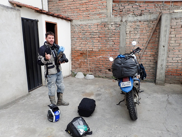
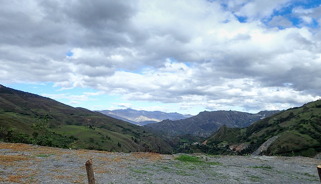
The ride to the border would be about 120 miles, the first 20 or so would be paved with beautiful scenery. I was even lucky enough to get a bit of dry weather.
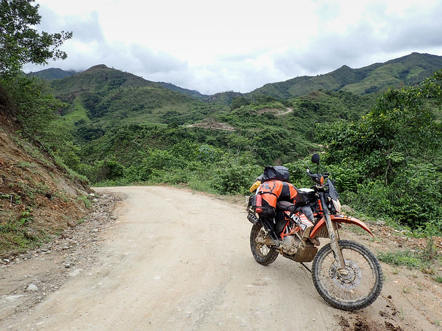
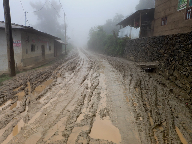
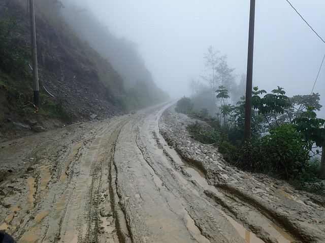
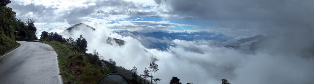
But soon I would run out of pavement and sun. The road quickly turned into an under construction nightmare of mud and guardrail-less peril.
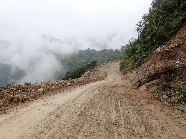
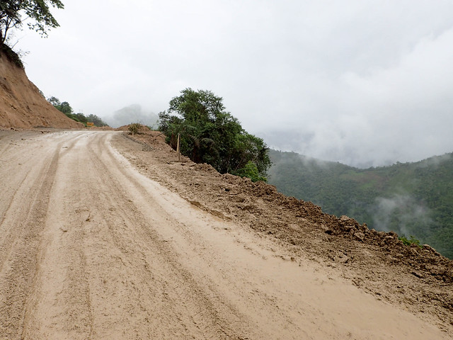
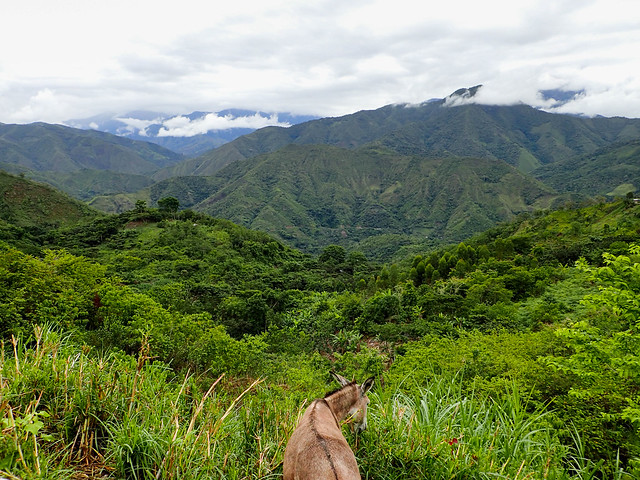
Mile after mile of muddy road...still with spectacular views.
I'm lacking pictures for the bit that comes next but my words will have to suffice. As I was riding this road, even on the paved, nice part, I was noticing a complete lack of traffic in either direction. In fact the only other cars or trucks I saw were construction vehicles. Obviously this raised red flags but I am not big on turning around or back tracking prematurely so I pressed on. Finally, after a particularly muddy section, I rounded a corner and saw the road was blocked with cones, a sign and one other car. It was about 10am. There was a guy on the side of the road...he and the sign made it clear that the road was closed for construction from 9:30am - 12pm and again from 1pm - 2:30pm and so on. I'm not a patient man so I told the construction worker I was going to go anyway. He advised me to be very careful.
The next couple of miles would be quite something. Driving through mud pits and over piles of dirt, around big trucks driving back and forth, around steam rollers and graders. The most interesting obstacle was a digger 100 feet above the road on the side of the hill throwing dirt down the hill to fill in a land slide. The entire road to the edge of the landslide was his dirt mound which was still moving. He stopped for a second and wildly waved me through...I pinned it and dug into the side of the moving mound of dirt and rocks to get to the road on the other side.
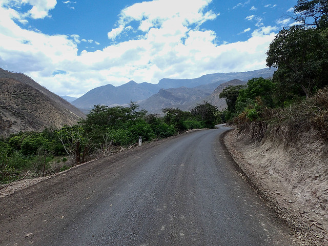
Mercifully, shortly after the construction zone the mud stopped. Then would begin a section of fast, flowy, hard packed fun dirt road to the border.
Here I am on this road all by myself, does this look like a road that crosses international borders?
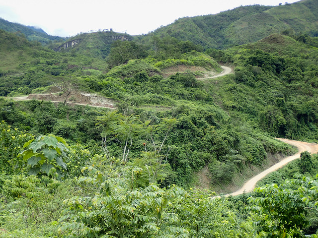
But stupendously gorgeous!
The Border
The border was tiny and unsurprisingly, I was the only one there.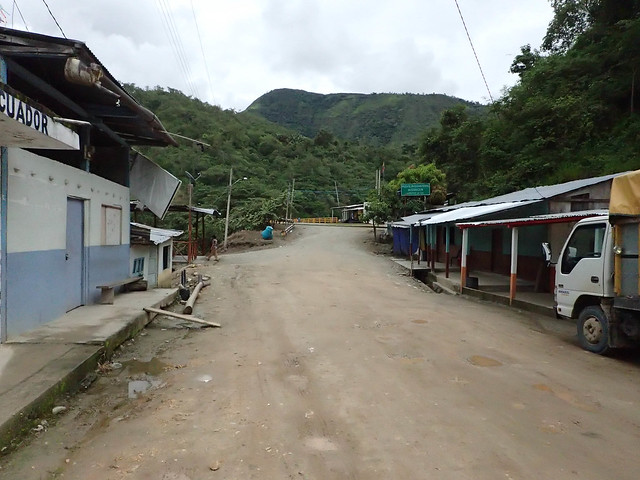
Leaving Ecuador was a breeze...really friendly customs and immigration folks.
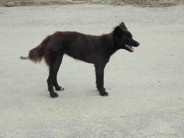
The locals were asking me why I was taking a picture of a "feo" dog. I said because it was awesome and looked like a zorro (fox)!
The other side of the border was not a breeze. Customs went well but when it was time to get my stamp I learned that the immigration lady was on lunch break. I was told it lasts from 12pm-3pm and of course I got there at 12:30pm. They tried calling her and I even walked to her house but we couldn't track her down. When we finally did at around 1:50pm she slowly dragged her feet back to her office, checked her phone for 2 minutes, did some other stuff and then acknowledged my presence. I was fuming.
A few minutes later and I was on my way into Peru...country number 10!
My first stop in Peru would be the town of Jaen in the province of Jaen. It was a pretty crappy city. I found a cheap hotel, got some food and woke up before sunrise to get a good long day in.
Jaen to Kuélap
The next day would be long and awesome. Starting out on a beautifully paved and empty two lane highway. Heading up a long muddy dirt mountain climb to an ancient city. Then a long one lane paved road through the Andes.The first highway was very well paved, easy and fun. Beautiful vistas and as always livestock on and around the roads.
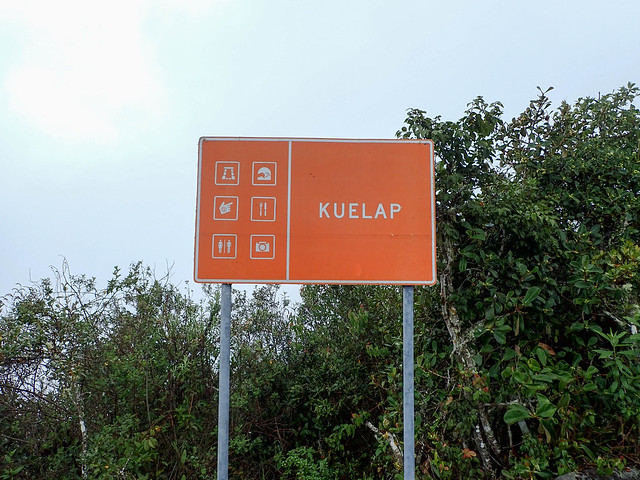
Kuélap
Kuélap is an ancient city and much lesser known than Machu Picchu, albeit easier to get to and not as spectacular. Still it was an awesome place and ranked up there with the Tikal and Teotihuacan ruins.To get there though is a 38km
I pulled over to weigh my options and scratch my ear. Seriously it itched so much and I couldn't get to it with my helmet on. Ultimately I decided to press on. Maybe it would get better...it didn't...it got worse.
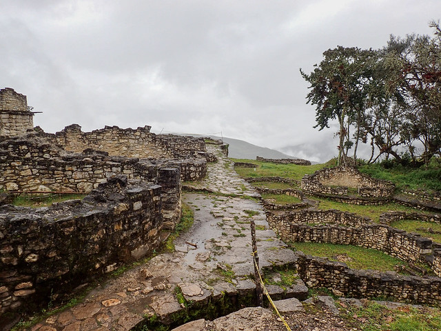
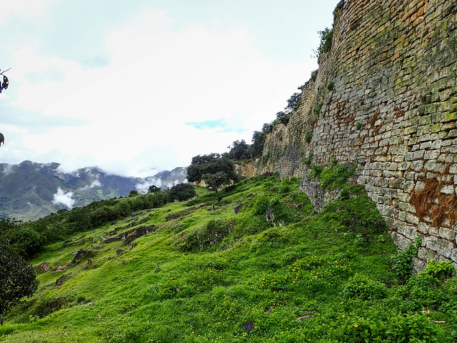
The ruins were quite cool though and worth the effort.
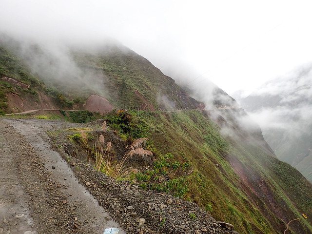
Here's a shot of the road from the way down.
Kuélap to Leymebamba
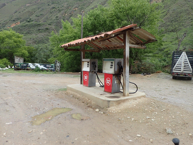
After Kuélap I was reading 150 miles on my gas tank. And with the 2.5 hrs of muddy first and second gear climb to the ruins and back I wasn't certain I'd get 200 miles out of my tank. Originally, I was planning to head back north to Chachapoyas for the day but folks I met at the ruins told me I wasn't missing anything by skipping it. So further south I went...With about 5 miles on reserve and I hit this gas station. "No hay gasolina". Shit!
I'd press on to the next town of Leymebamba. Luckily, there I found a guy selling gas out of a barrel at about $5.50 a gallon...which is a lot for gas that needs to be poured through a strainer. Running on fumes at this point I had little options. I easily added 4 gallons of gas...my tanks combined hold 4.25 gallons!
I decided to look for a place to stay. I had about 3hrs of light left and wasn't sure how far the next town was. The locals couldn't agree on how much time it would take me. Somewhere between 2 and 4 hrs seemed to be the spread. After failing to find a place to sleep I decided to press on.
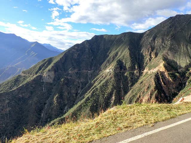
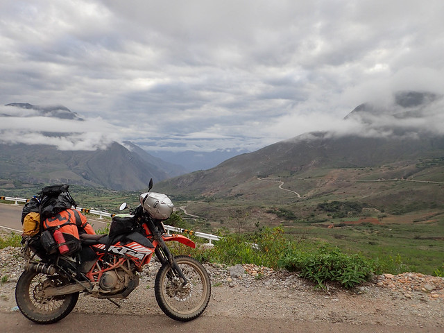
Quickly my tiredness turned into pure elation as I was presented with the most spectacular road with the most spectacular views and climbs.
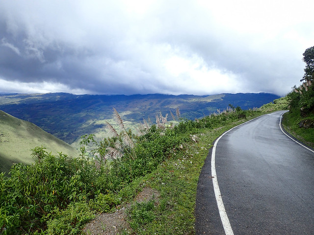
This one lane, guardrail free, two way road would wind for the next 100 miles to Cajamarca.
Along the way I would climb from 3000 feet (1000 meters) to over 12000 feet (3700 meters) and back down.
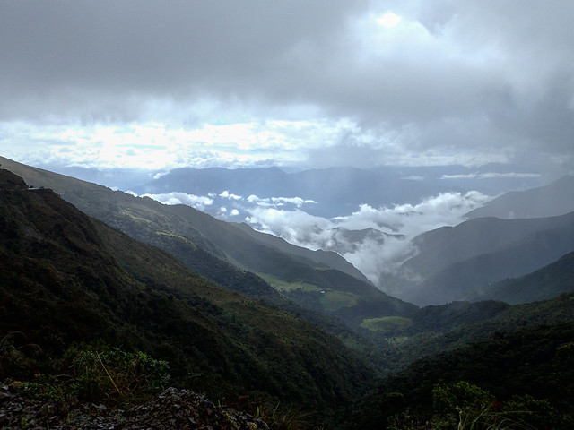
I would see all sorts of weather...from hot at 3000 feet to very cold and rainy at 12000 feet. My rain suit would come on and off a few times.
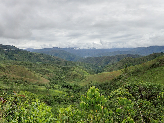
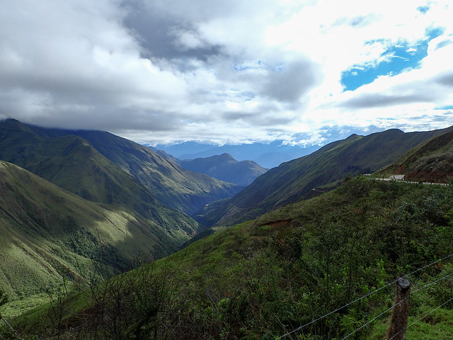
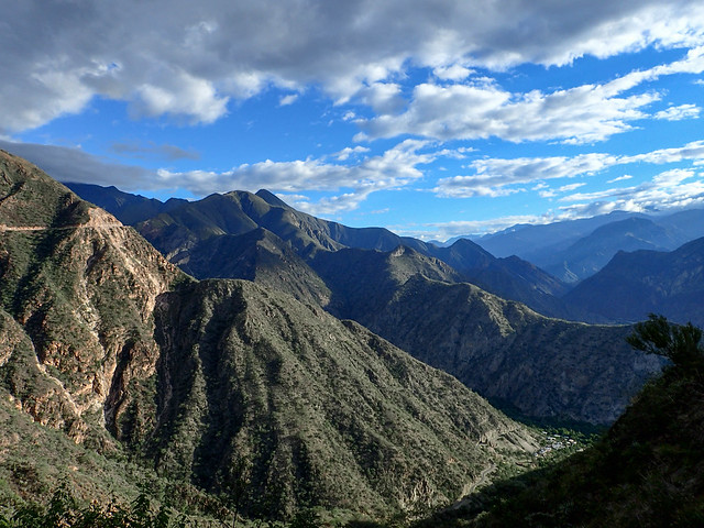
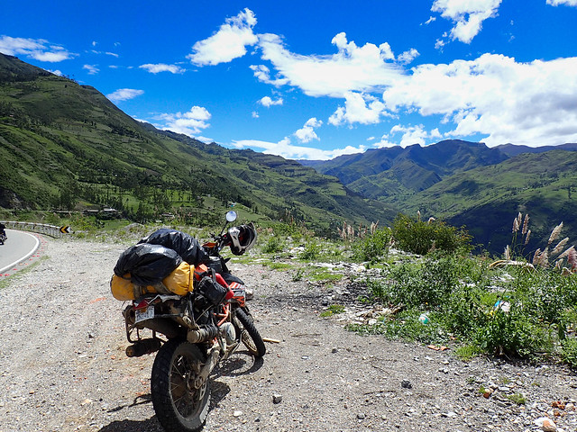
View...
After view...
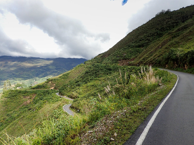
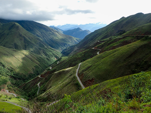
This picture best sums up the geometry of the road however this was a lower more tame valley. Much of the road at higher elevations was more aggressive with steeper climbs, sharper switchbacks and narrow rocky passes.
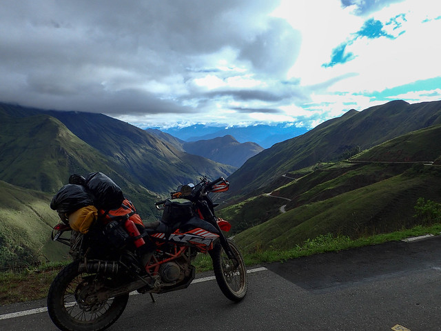
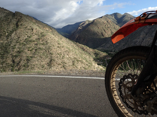
KTM advertisement!
More road pics...
I tried to take a picture that captures just how close to the edge you have to ride. Sometimes the cliff has eaten past the white line and keep in mind there is two way traffic!
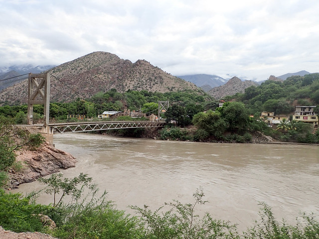
Las Balsas
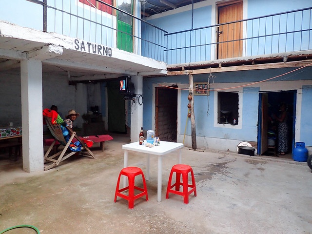
This is place I found to stay in a little town in the middle of the mountains.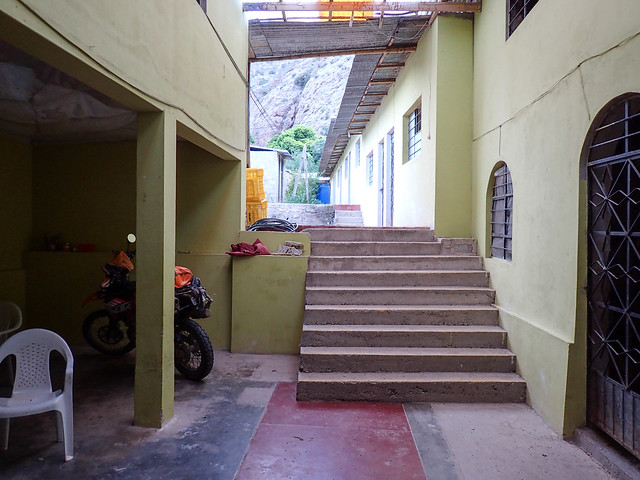
Ate here and the family took me for a walk around their farm after dinner.
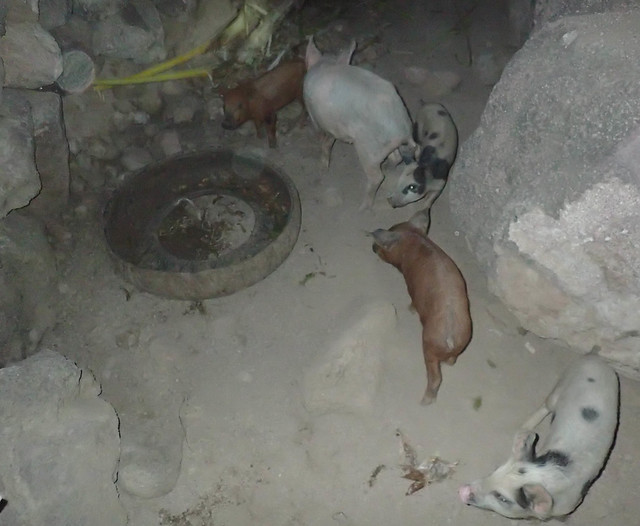
We fed the pigs.
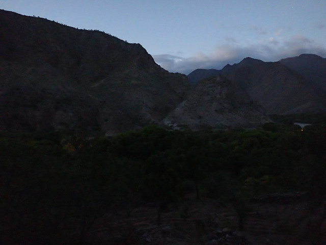
And got a beautiful view of the town from up on the hill at dusk.
Leaving the town the next morning.
Cajamarca to Haunchaco
The next day I'd continue on the one lane road with more of the same amazing riding and views and ultimately end up at a little surfing village on the pacific just north of Trujillo.More views...
A very happy me...
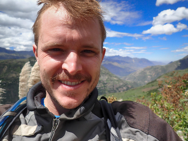
Look at this view!!!
I took a "wrong" turn and ended up on this little road for a few miles before the locals told me I was better off on the other road to the coast.
The other road was quite beautiful and eventually opened back up to a two lane highway.
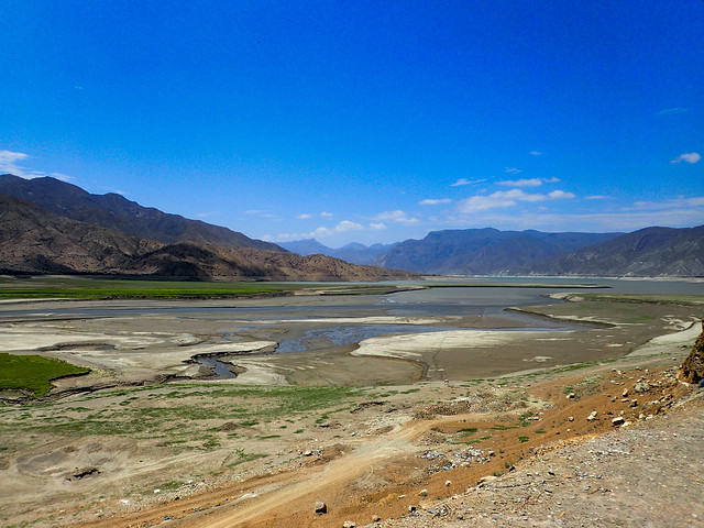
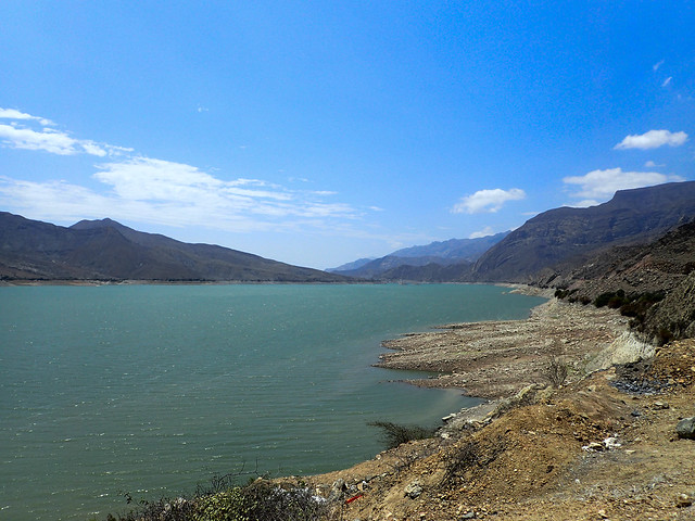
Past a reservoir.
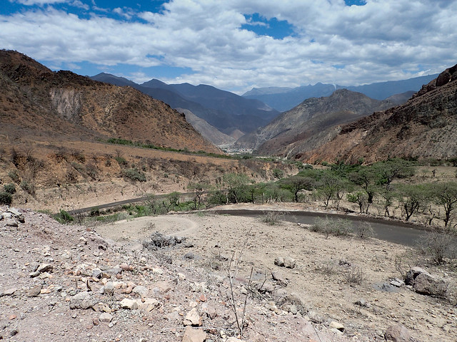
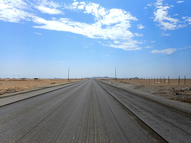
Back on the Panamerican...a stark contrast from the Andes, the coast of Peru is desert. With huge sand dunes and sand blowing across the road.
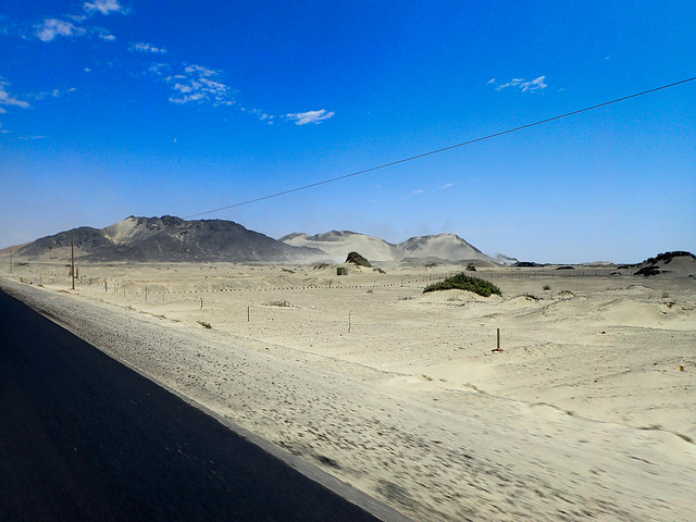
The worlds worst pavement, high winds, trucks, stinging sand made this last 80km stretch pretty exhausting. The light nimble 690 is right at home on the mountain roads but it's roads like these that make me wish I had a big honking BMW or something.
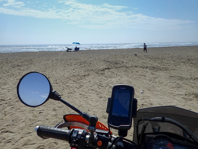
Back on the coast! From 12,000 feet to sea level. It had been almost a month since I had seen the ocean. For fun I did a little beach riding.
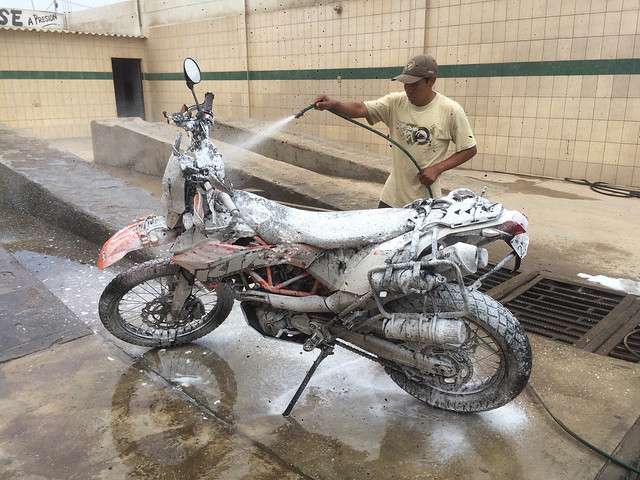
All that mud and hard riding and my bike needed a good bath!
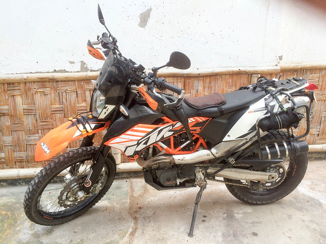
All clean!
For All You Nerds
Elevation chart...when my GPS wasn't acting up...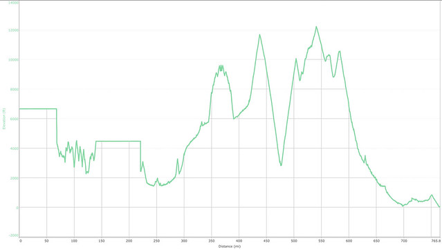
Speed chart...
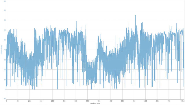
The End!
Bravo Lew, bravo!
ReplyDeleteKeep up the good work and safe riding adventures.
JCos