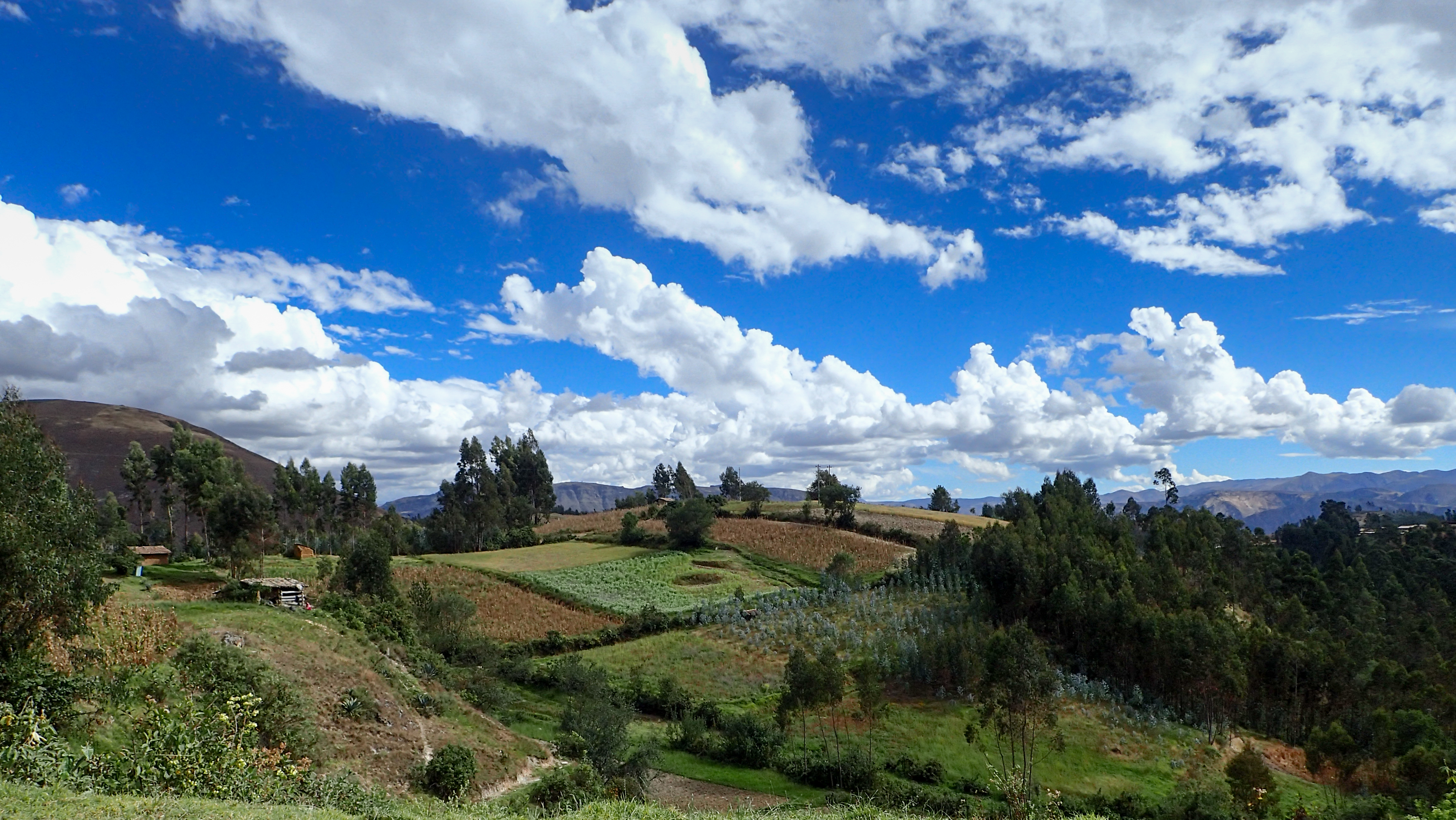
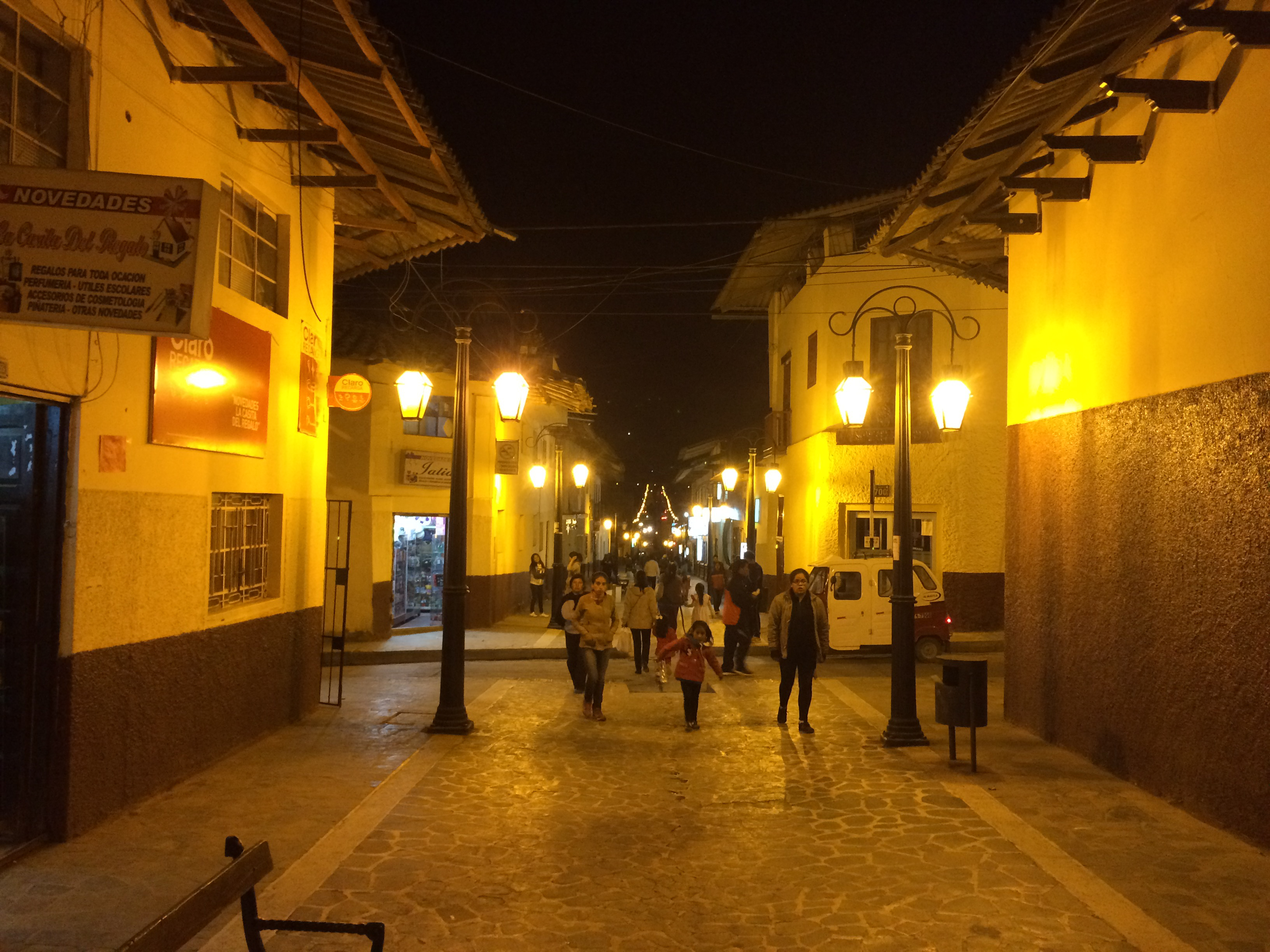
2015-07-04 Celendin to Huamachuco 690south on Saturday, July 04, 2015 Add Comment Autoblog Edit Stats Distance: 275 km (171 miles) Max Elevation: 3712 m (12179 feet) Min Elevation: 2037 m (6684 feet) Ascent: 4476 m (14688 feet) Descent: 3878 m (12725 feet) Description Nothing here yet. Photos Map Download GPX Elevation Chart Newer - 2015-07-05 Huamachuco to Huanchaco Older - 2015-07-03 Chachapoyas to Celendin Share on Facebook Share on Twitter Share on Google Plus RELATED POSTS


0 comments:
Post a Comment