
Stats
- Distance: 76 km (47 miles)
- Max Elevation: 1835 m (6022 feet)
- Min Elevation: 1216 m (3992 feet)
- Ascent: 1408 m (4619 feet)
- Descent: 1421 m (4662 feet)
Description
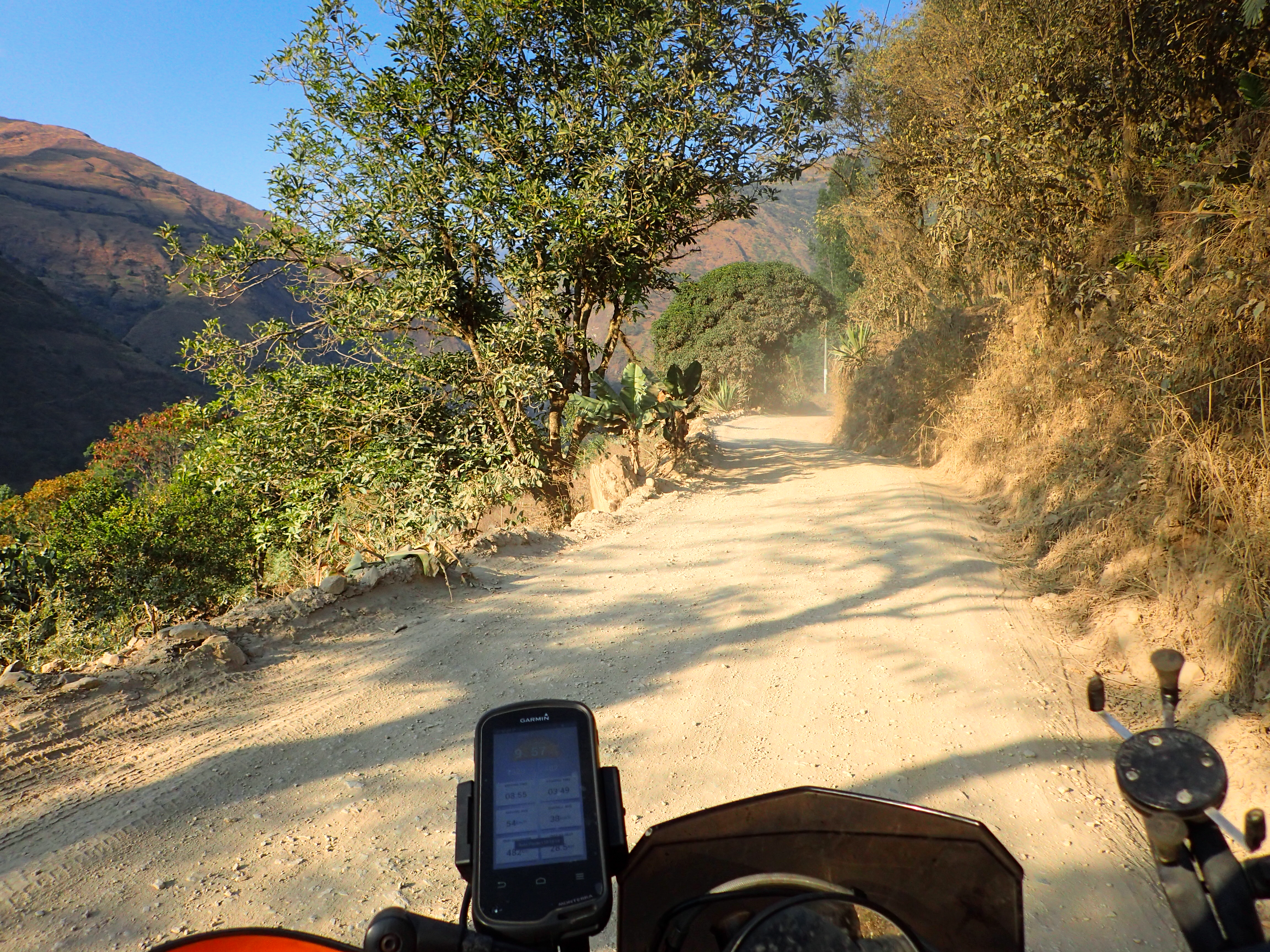
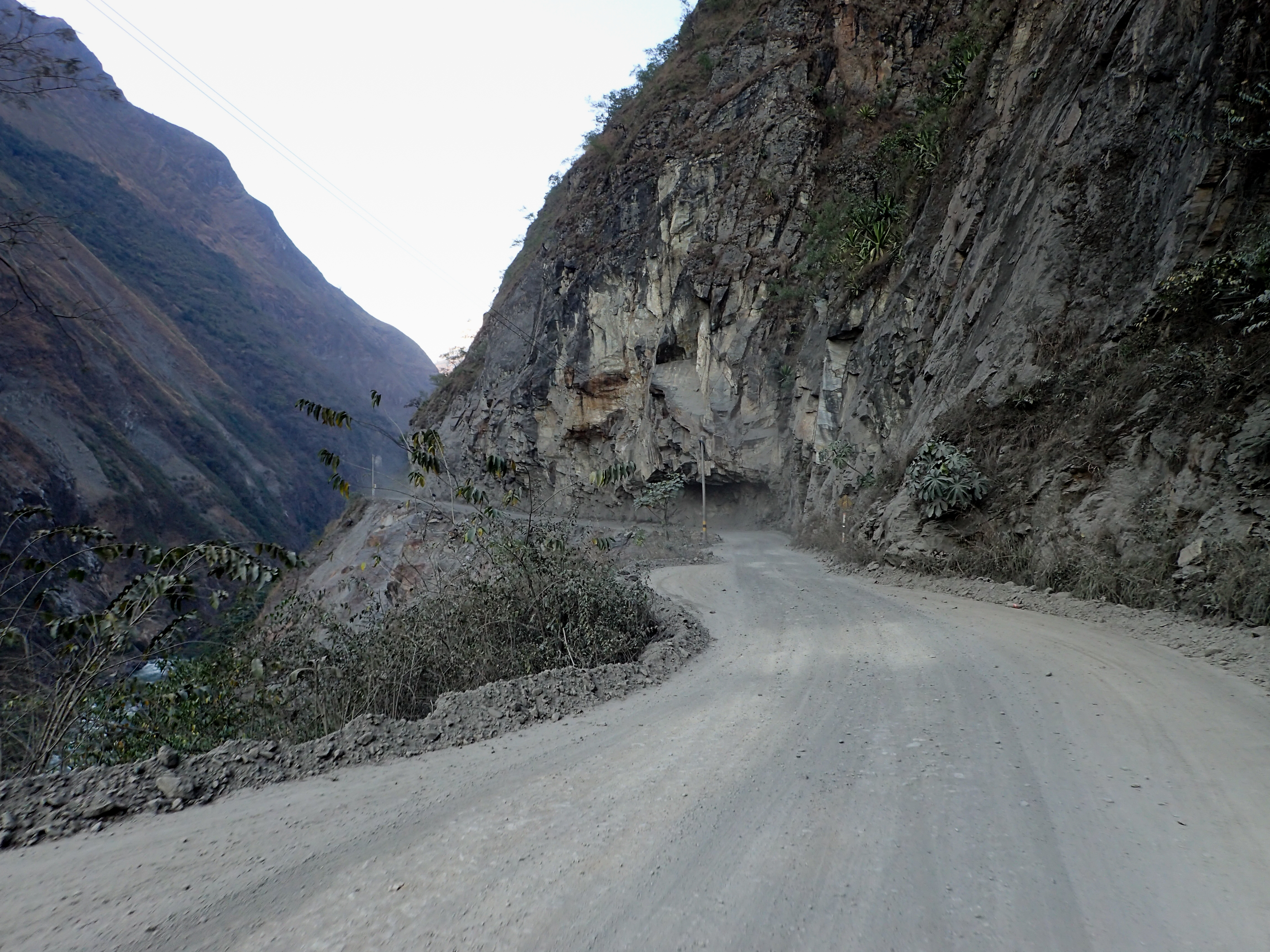
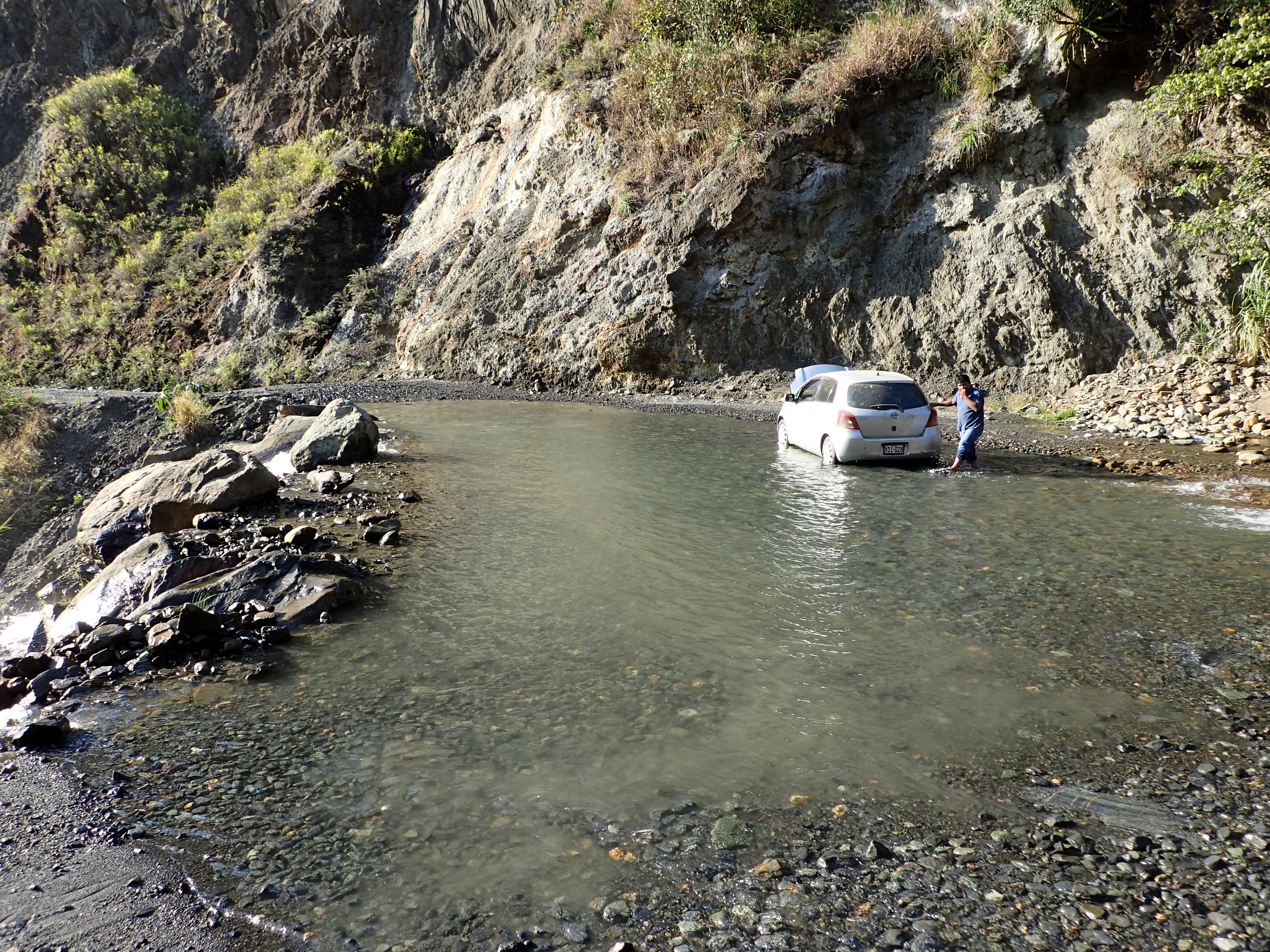
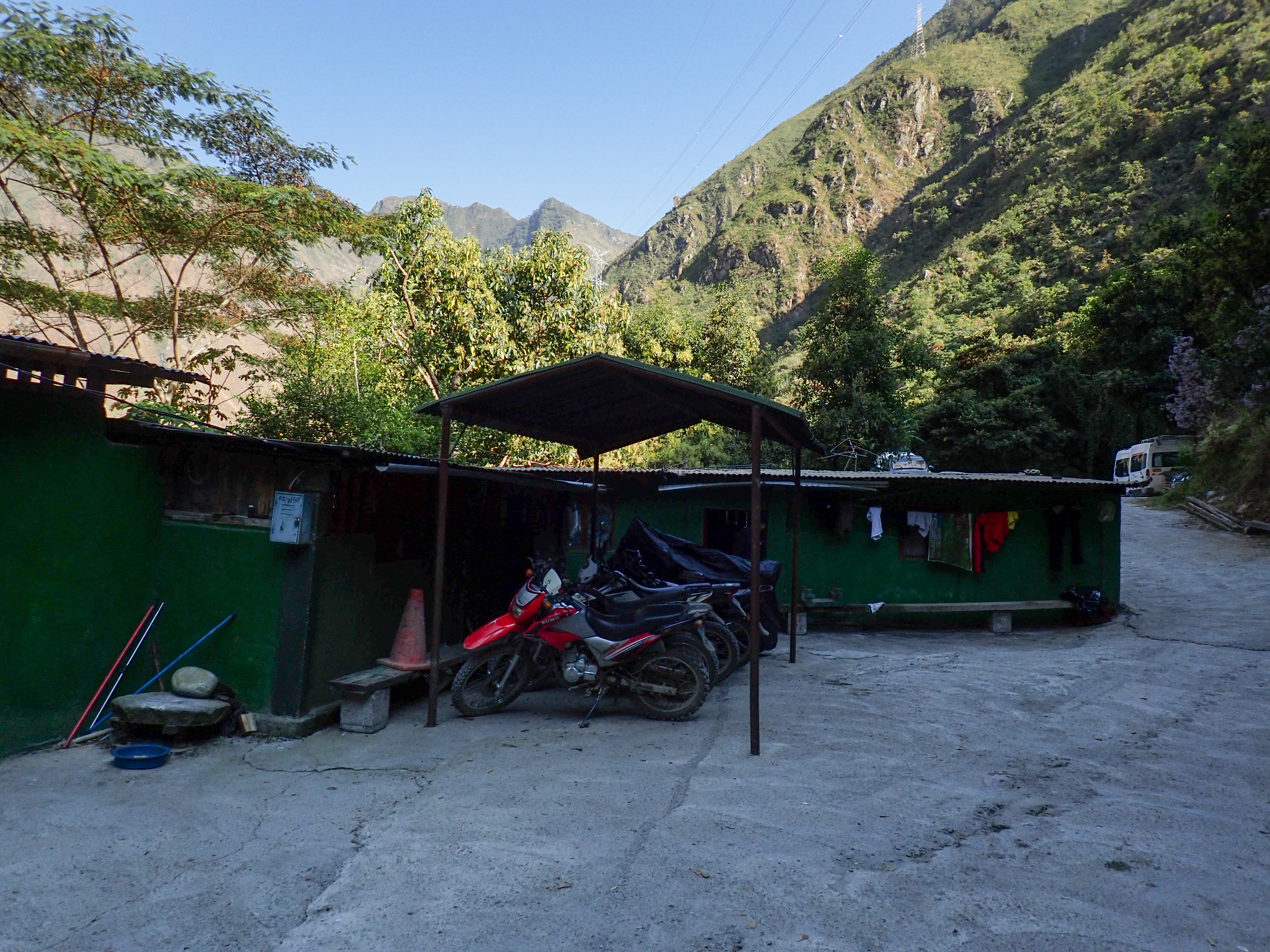
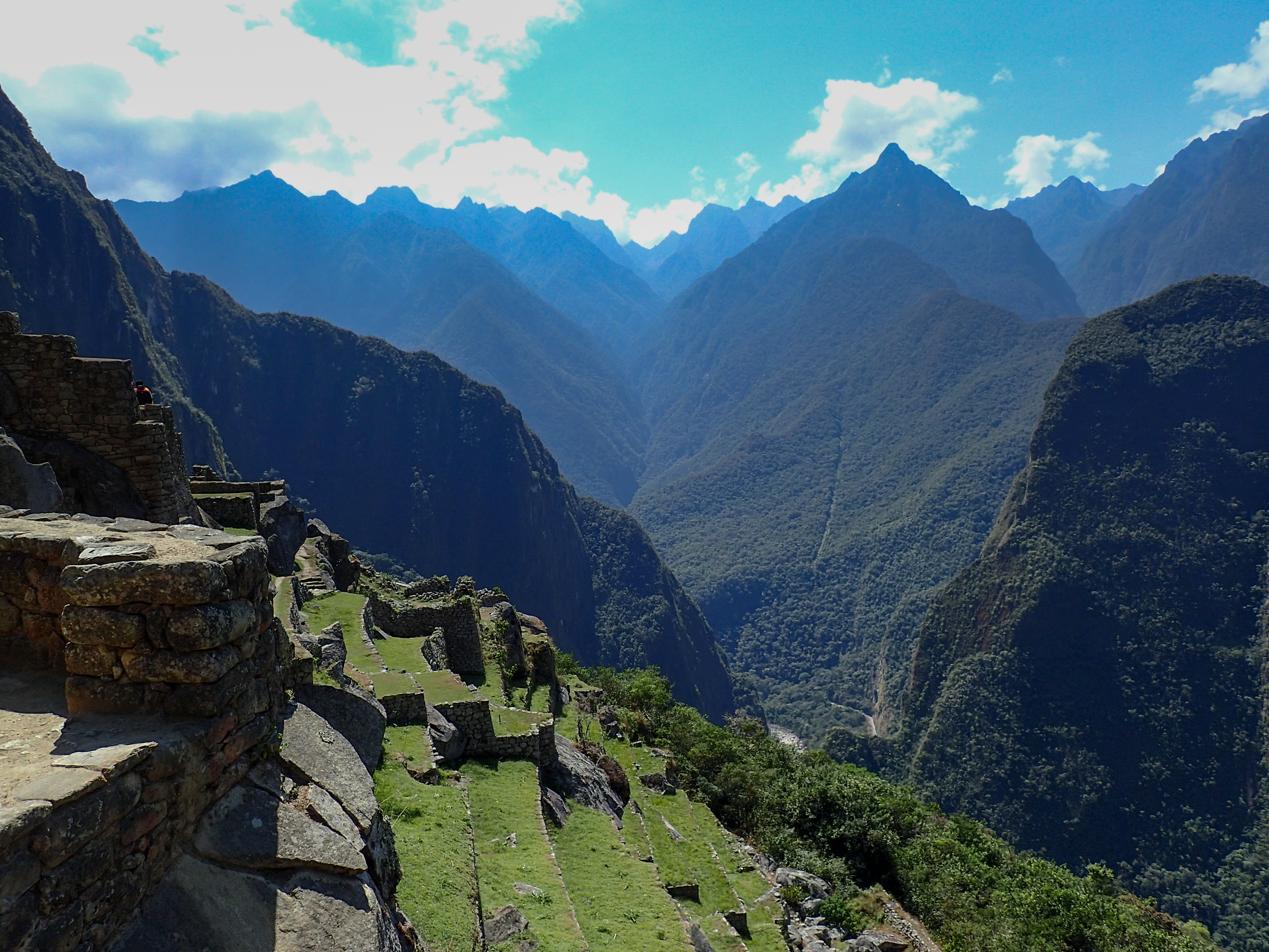
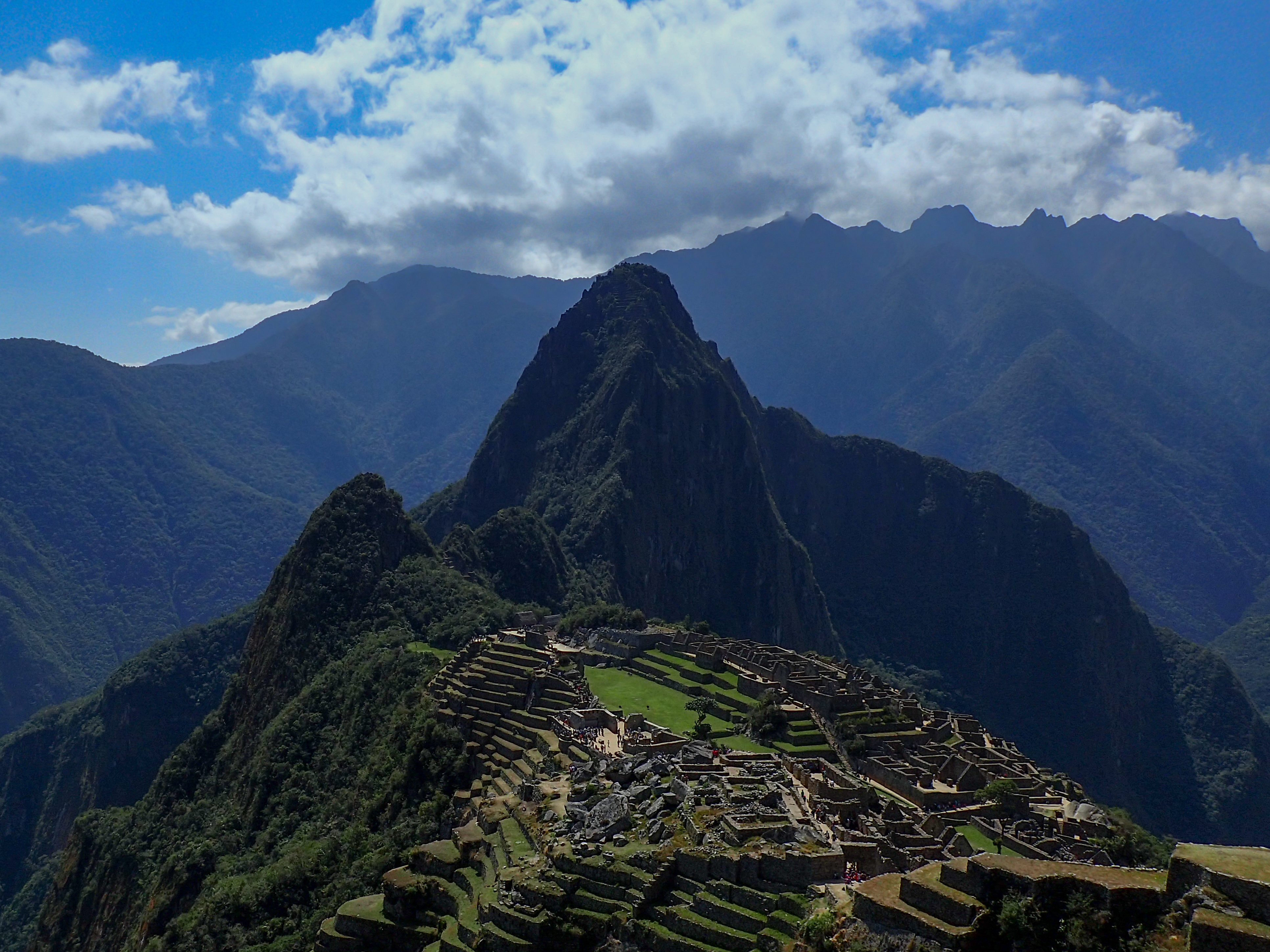
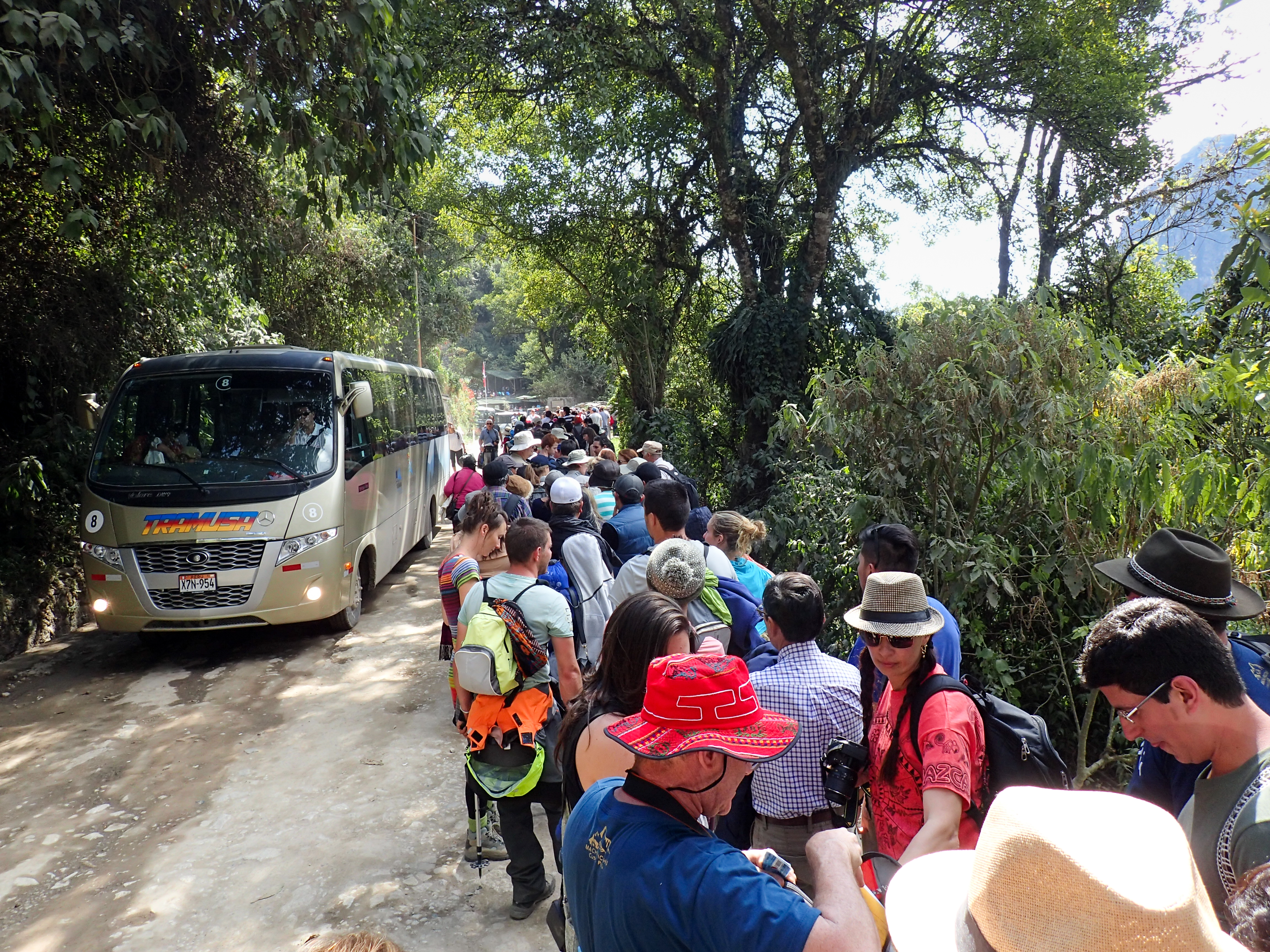
Rode from Santa Maria to the Hydroelectric plant on a 35km dirt road. Then hiked the train tracks 2.5 hrs to Aguas Calientes. There are no roads into Aguas only trains. Took the bus up to Machu Picchu because time was tight getting back to my bike and riding the hour back to Santa Maria before dark. Machu Picchu was crowded and there was an 1.5hr line for the bus to go back down. The train to they hydroelectric plant leaves at 7am and returns at 1pm. So walked the 2.5 hrs back to my bike.Suggestions: It's safe to leave your bike over night at the hydro plant. There is a really nice man named Wilfredo that lives there and will watch your bike for $3 a day. Stay a night in Aguas and hike up to Machu Picchu for sun rise at the temple of the sun. No crowds and a much better experience, IMO.


0 comments:
Post a Comment