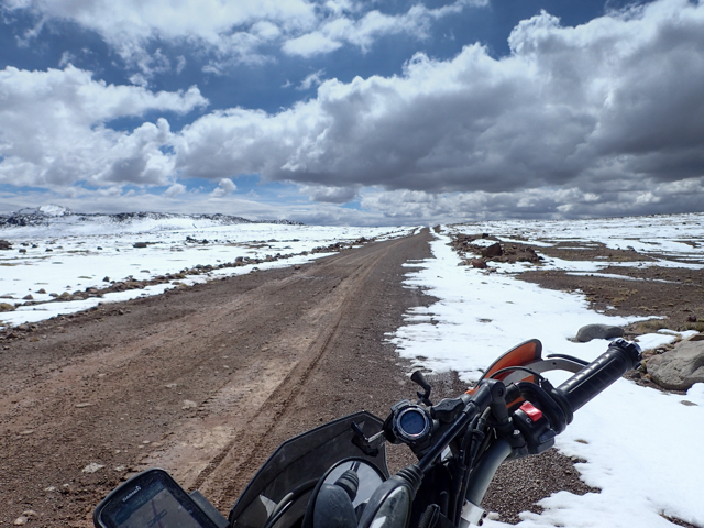
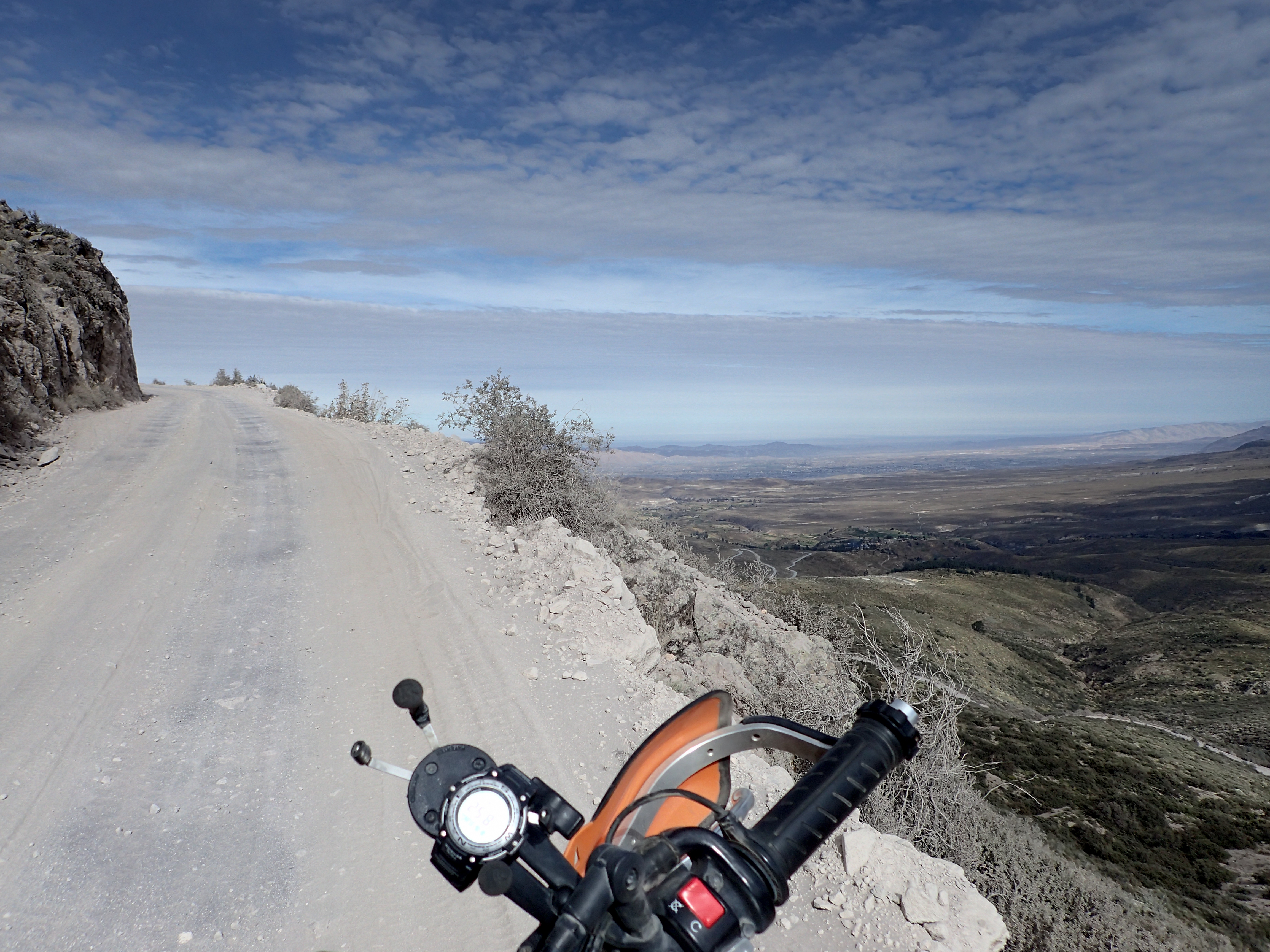
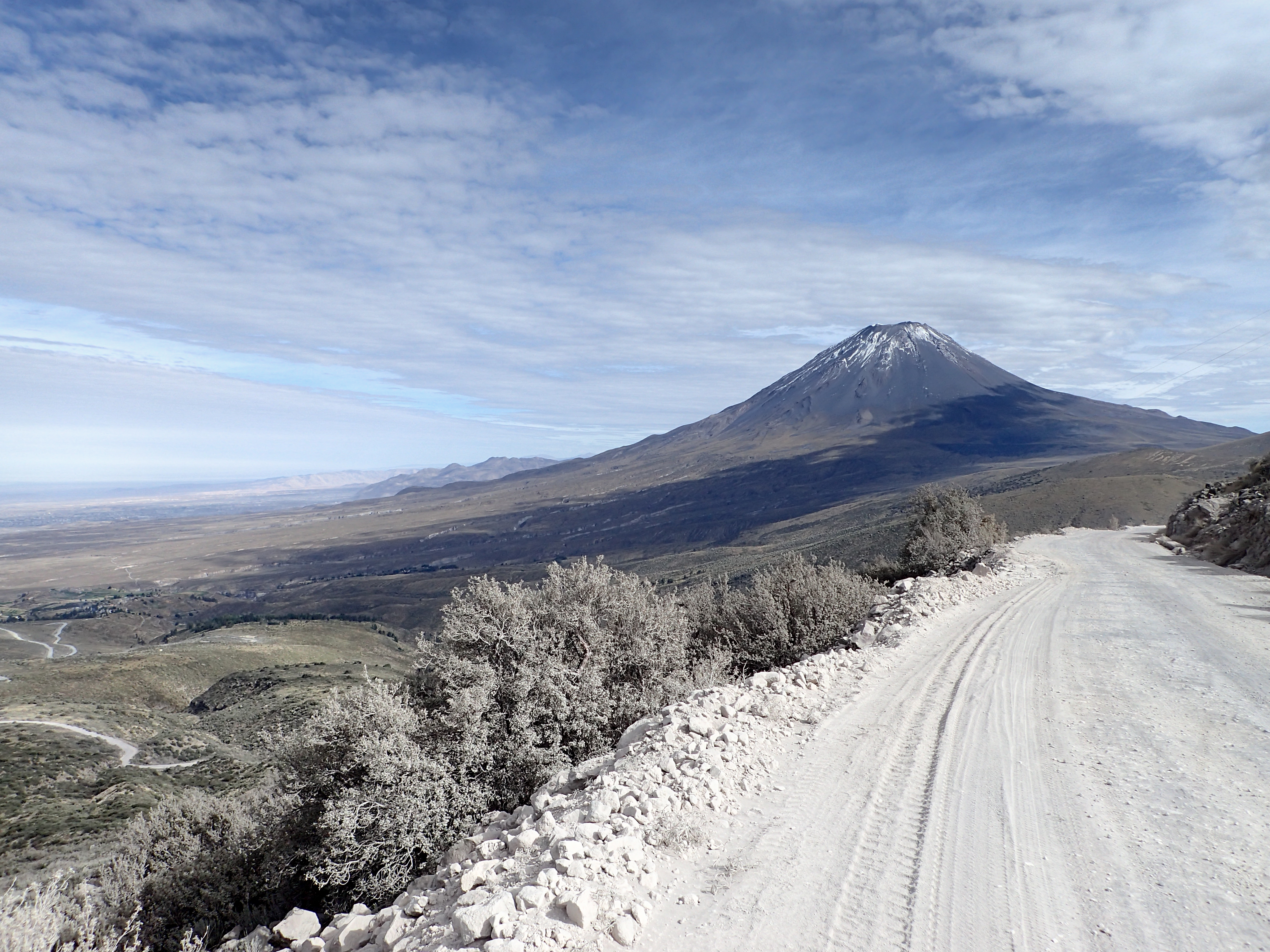
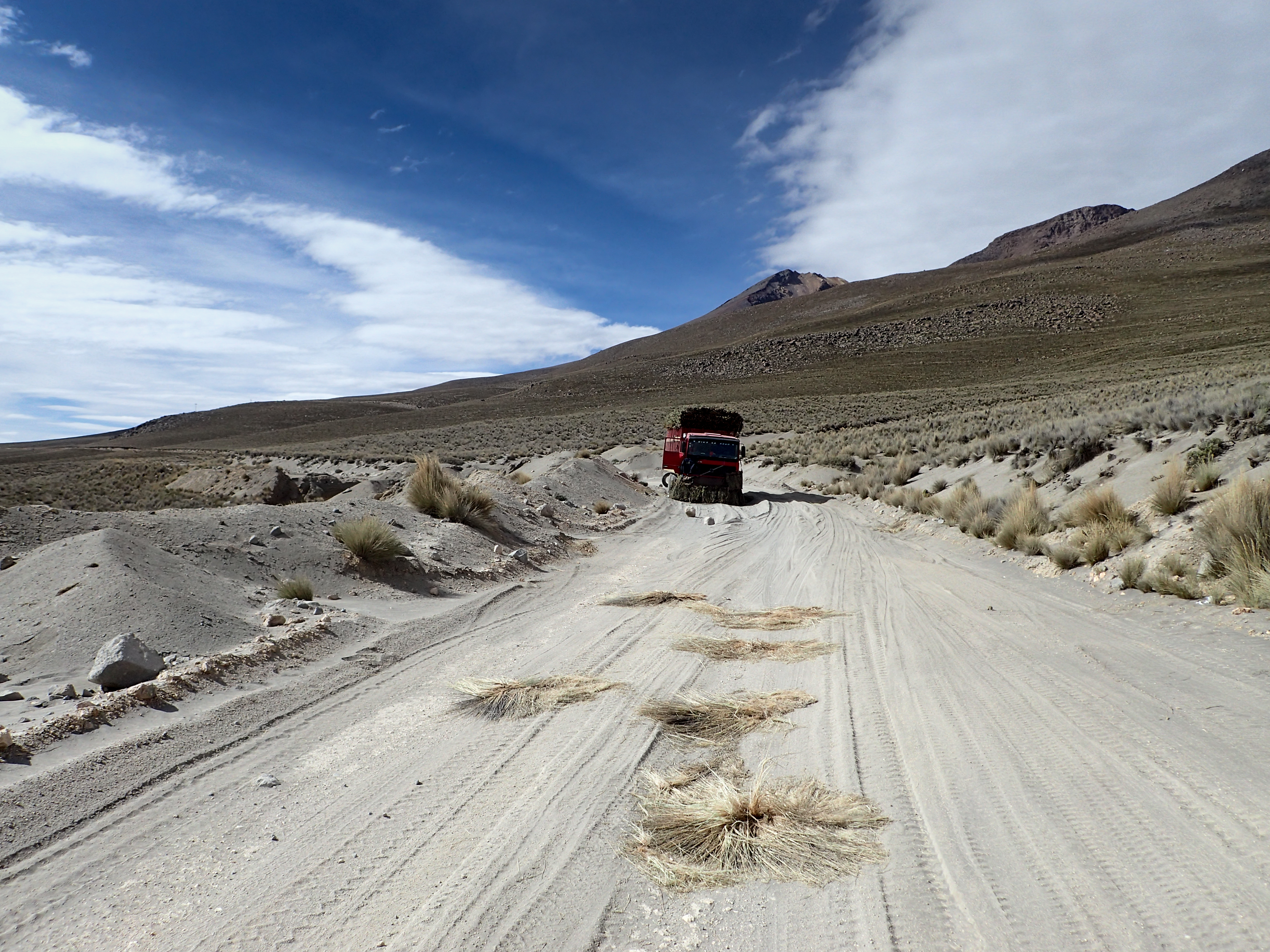
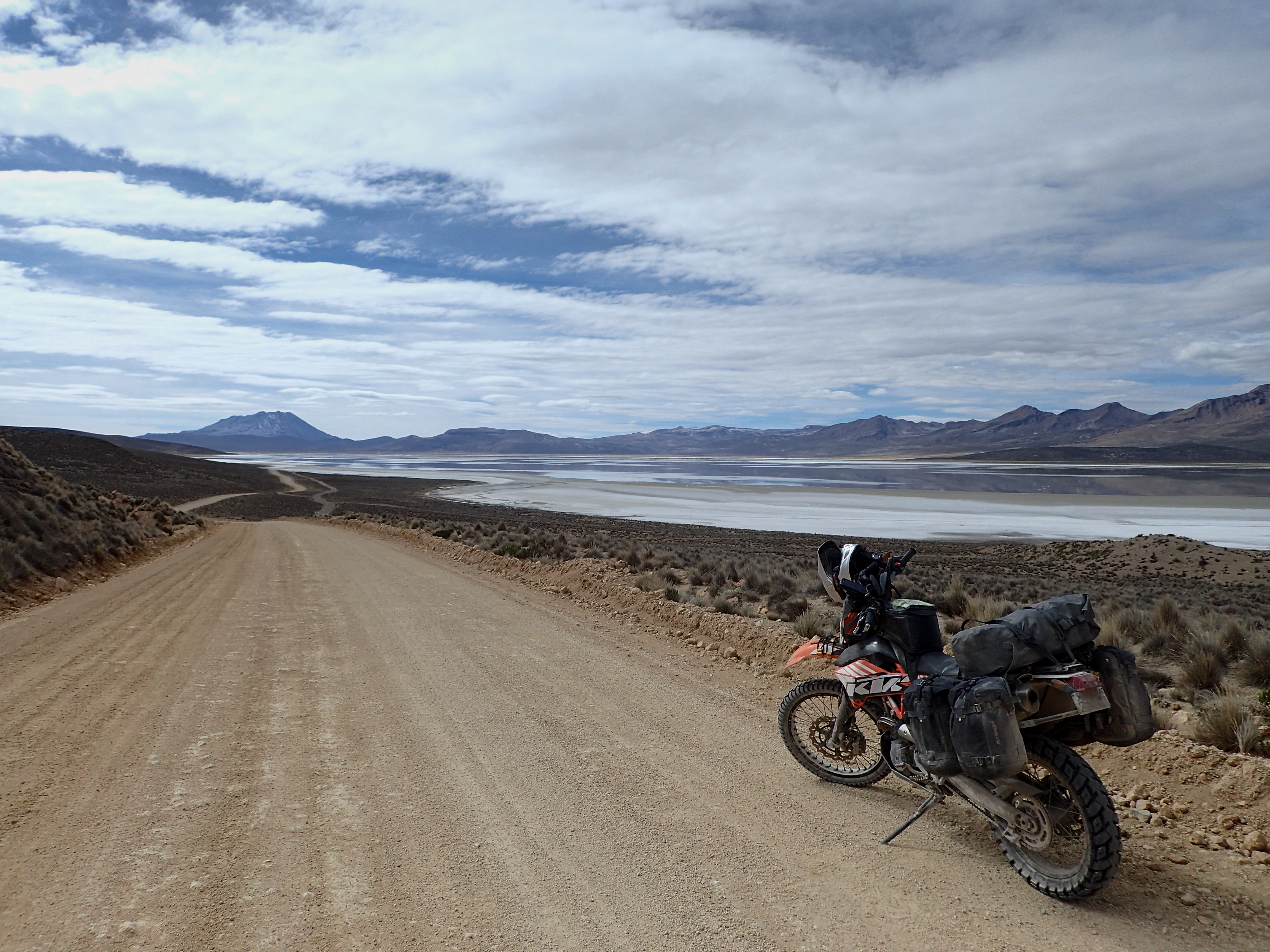
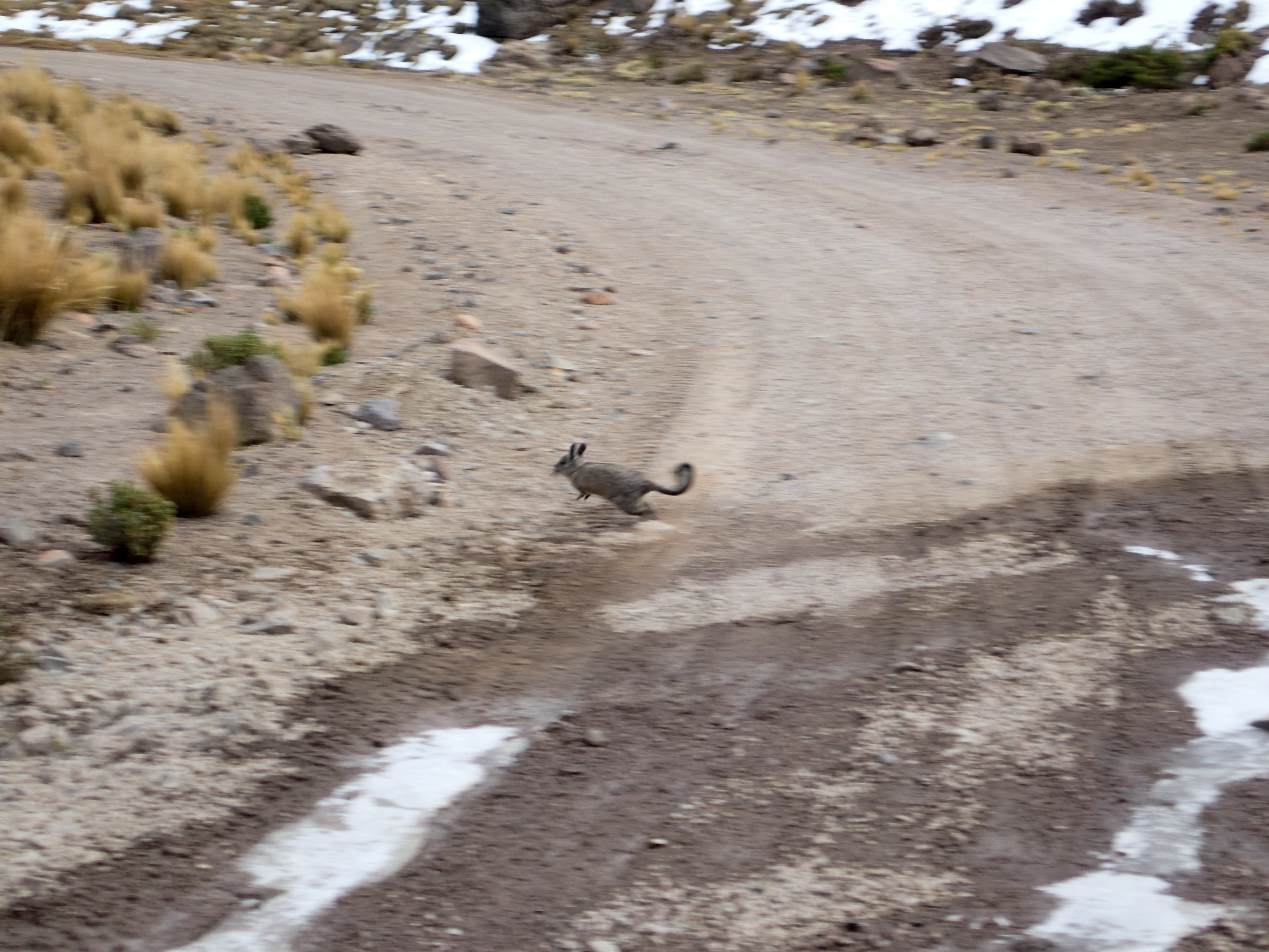
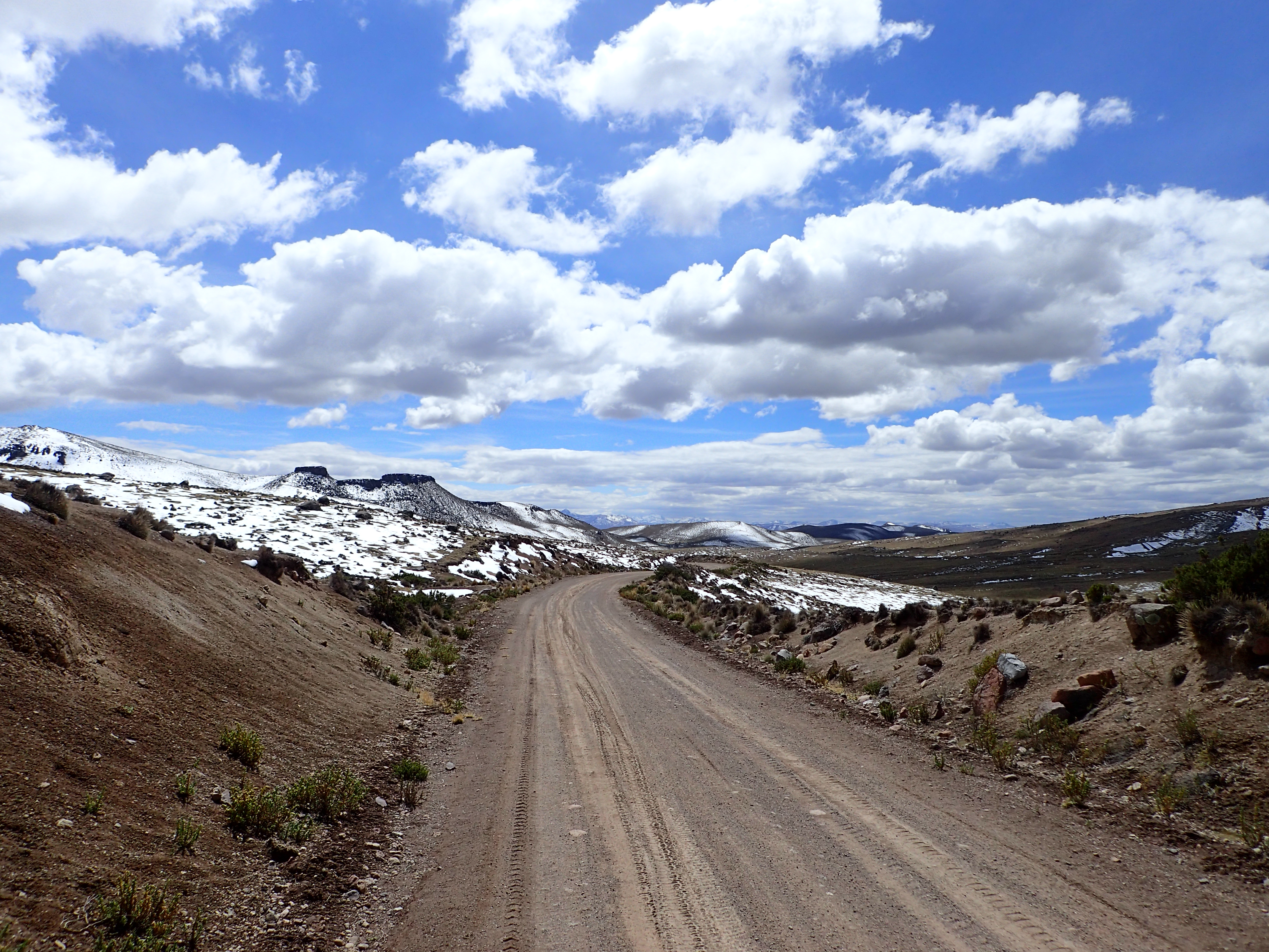
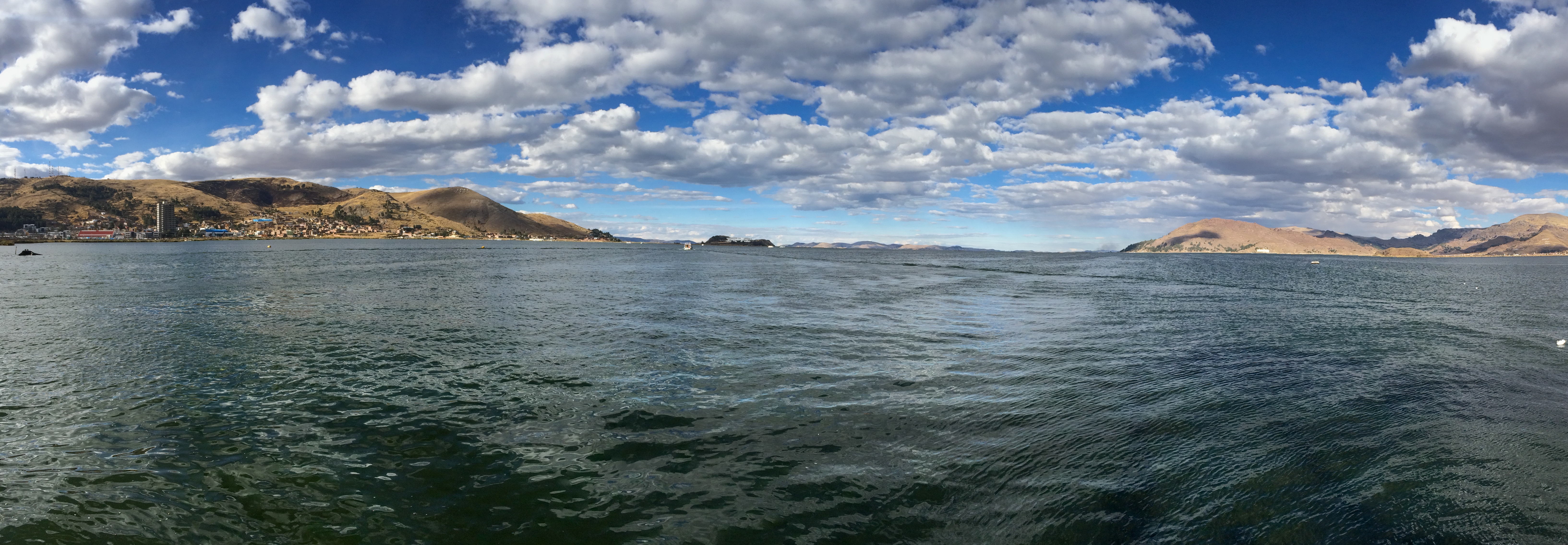
A quick paved road out of town quickly yields to a silty dirt road that snakes up along side the volcano after going through a small stone village. Considered one of the most dangerous roads in Peru. I didn’t find it to be overly dangerous although there were some good drops and lots of silt and very remote…didn’t see almost anyone the whole day. Beautiful mountain dirt roads the whole way past a salt lake. Some snow and ice as you climb to just over 4700 meters. Pavement picks up as you get close to Puno but I detoured through some farm access roads to shave off some kilometers. Alpine lakes, flamingos, beautiful vistas, volcanoes.


0 comments:
Post a Comment