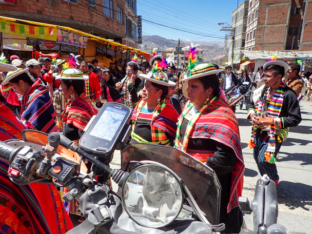
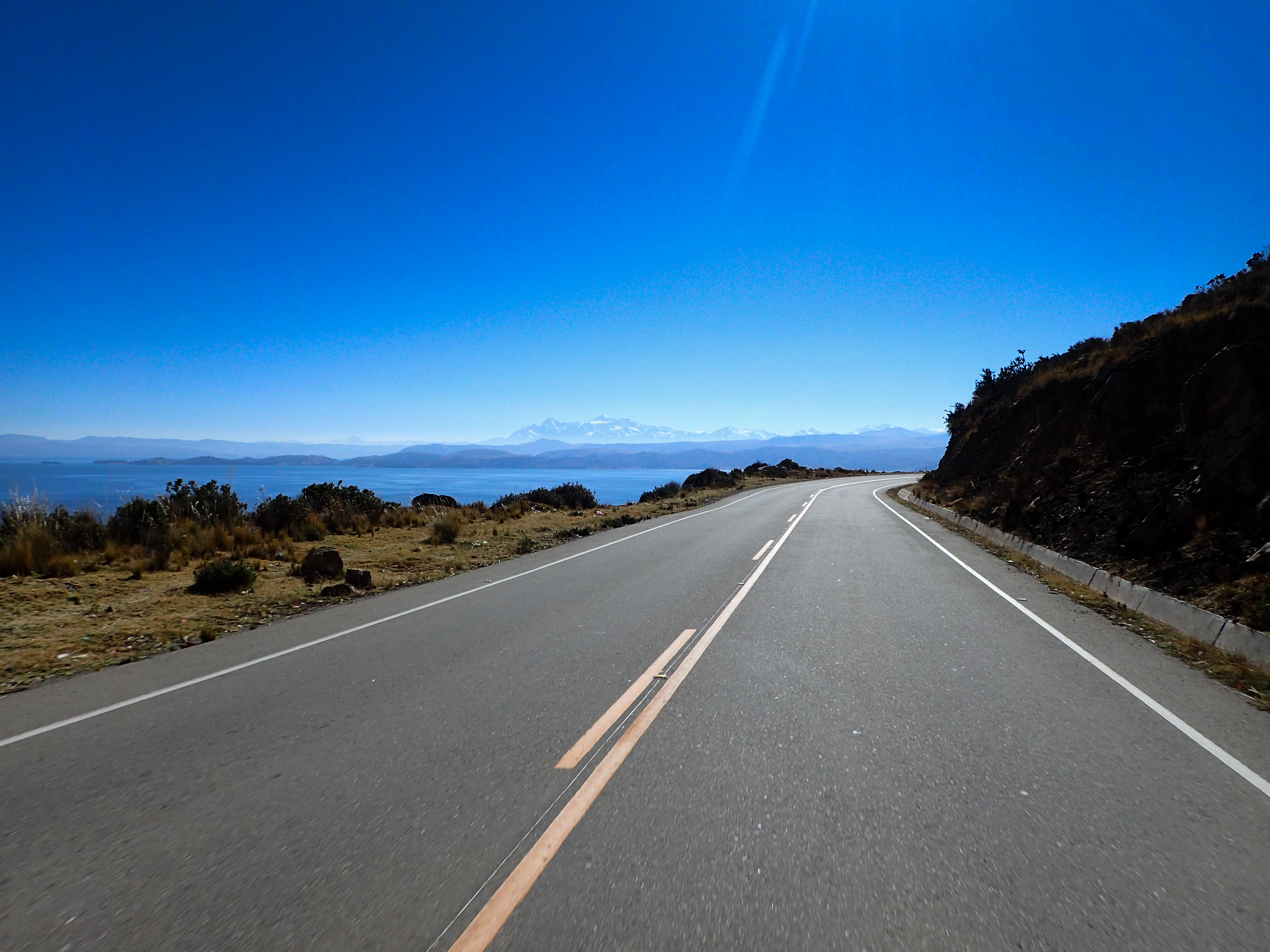
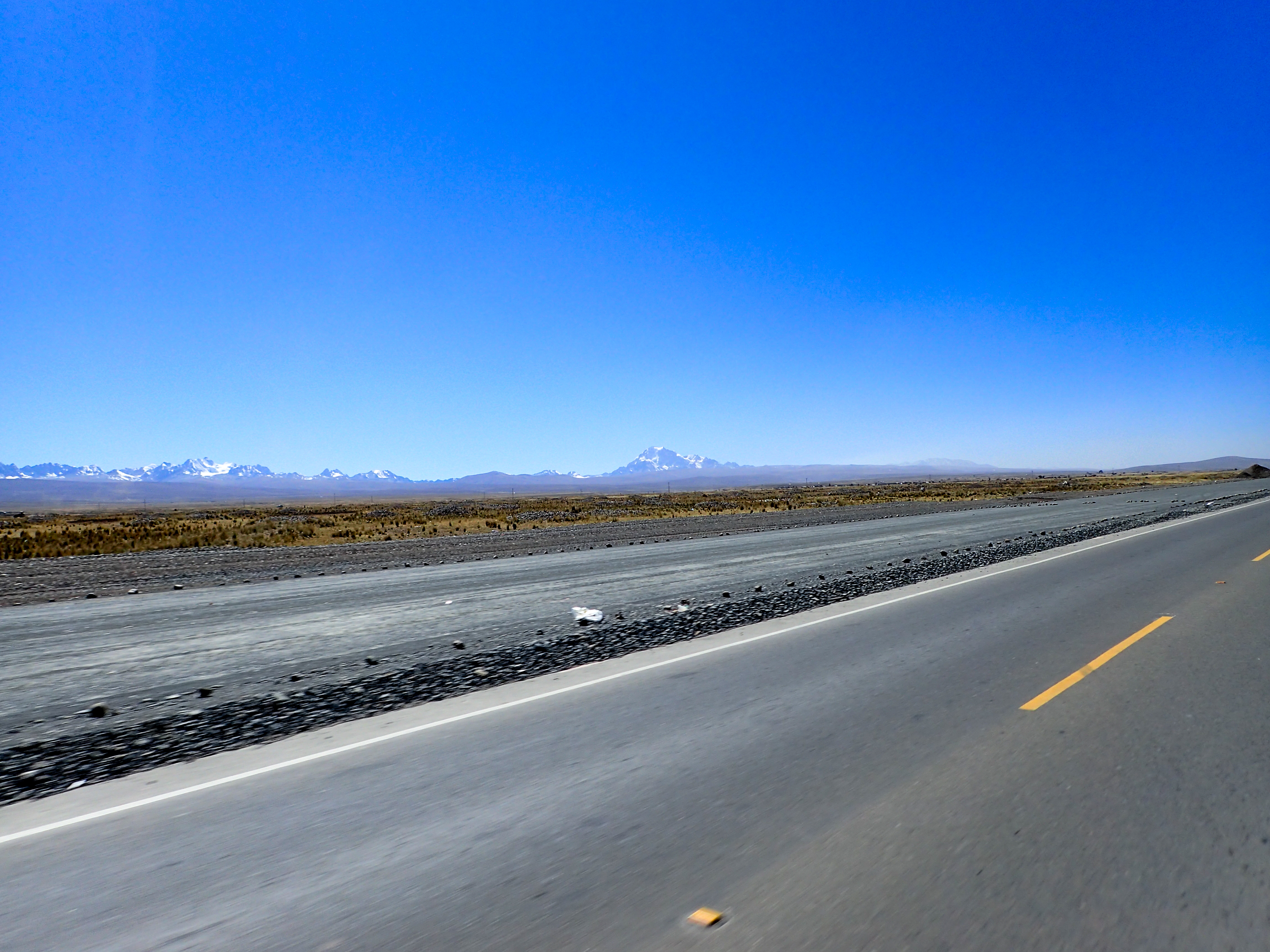
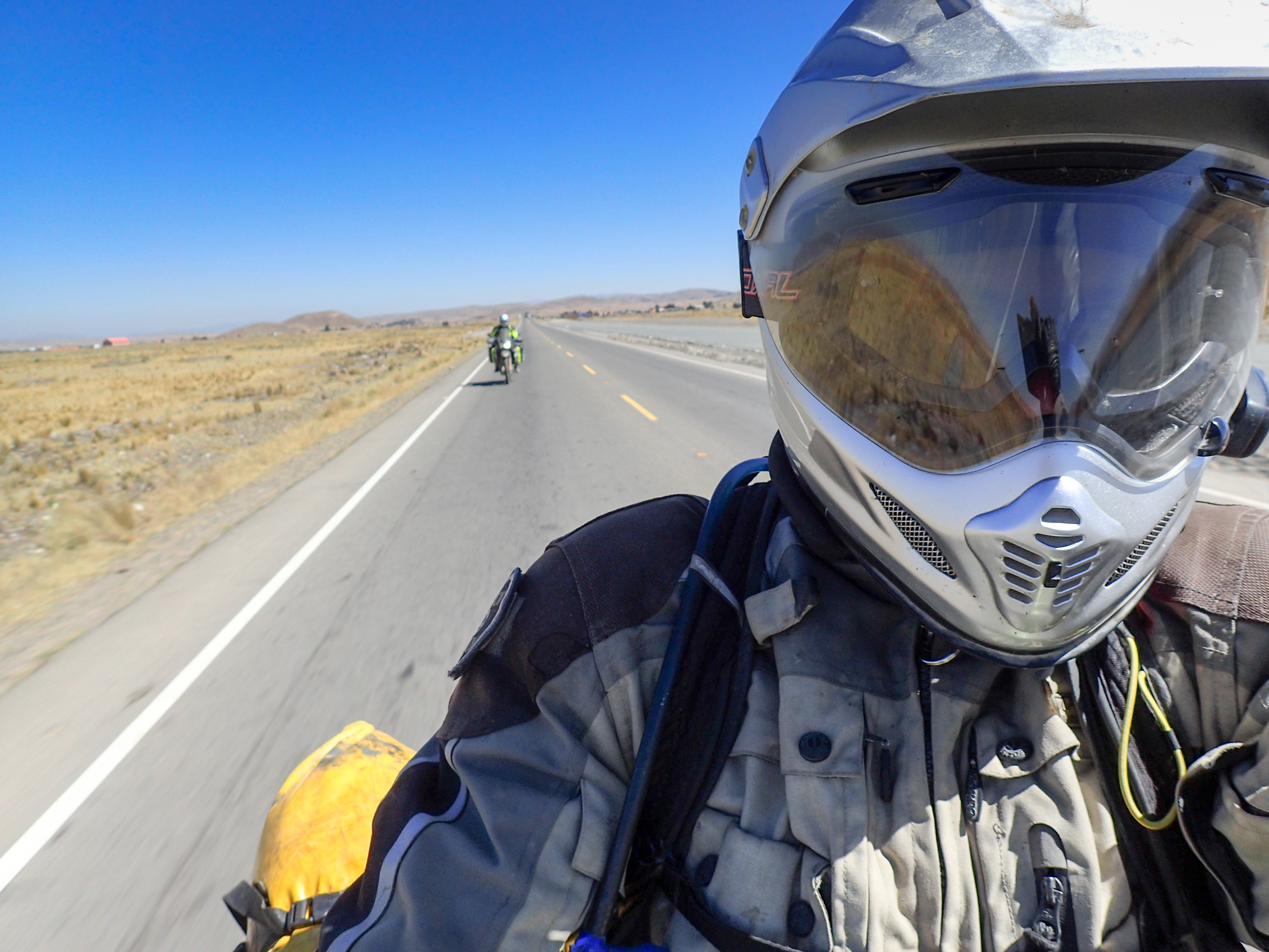
After the initial ride out of the lake and the ferry that takes you across there’s a long highway stretch. Straight, relatively boring and construction detoured paved road through some pretty run down looking towns. Smooth riding through El Alto with some stops for oil, tire patches and a new rear tube for me. La Paz was a mess with streets shut down for markets and a number of parades we just couldn’t seem to get around. Decided to stay in the first hotel with a garage which happened to be a fancy 3 star hotel. Nicest place I’ve stayed in on this trip and the most expensive at $20 a night.


0 comments:
Post a Comment