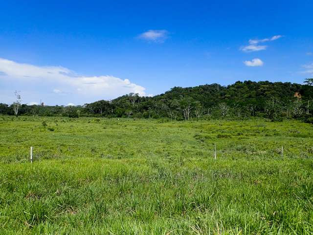
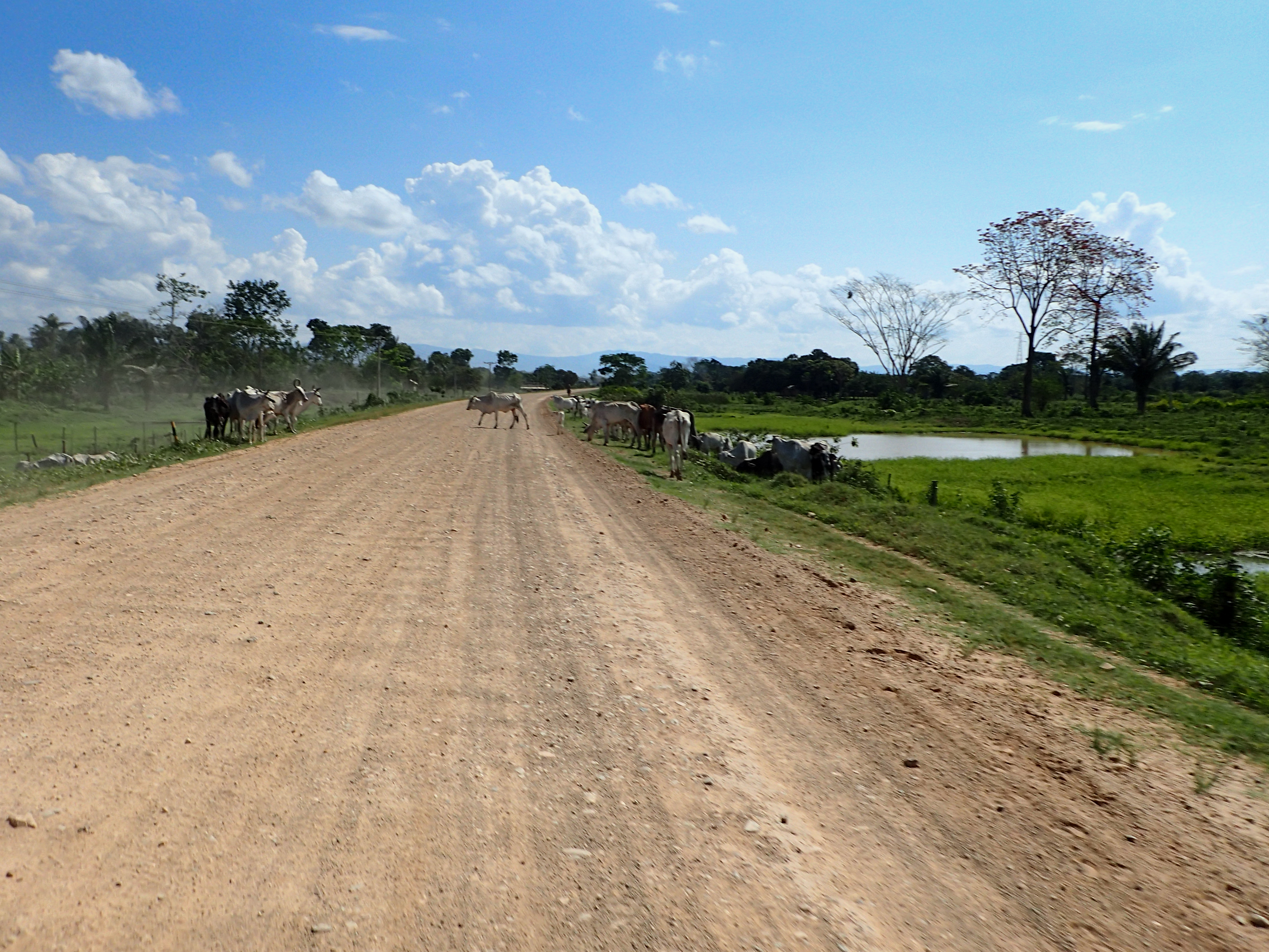
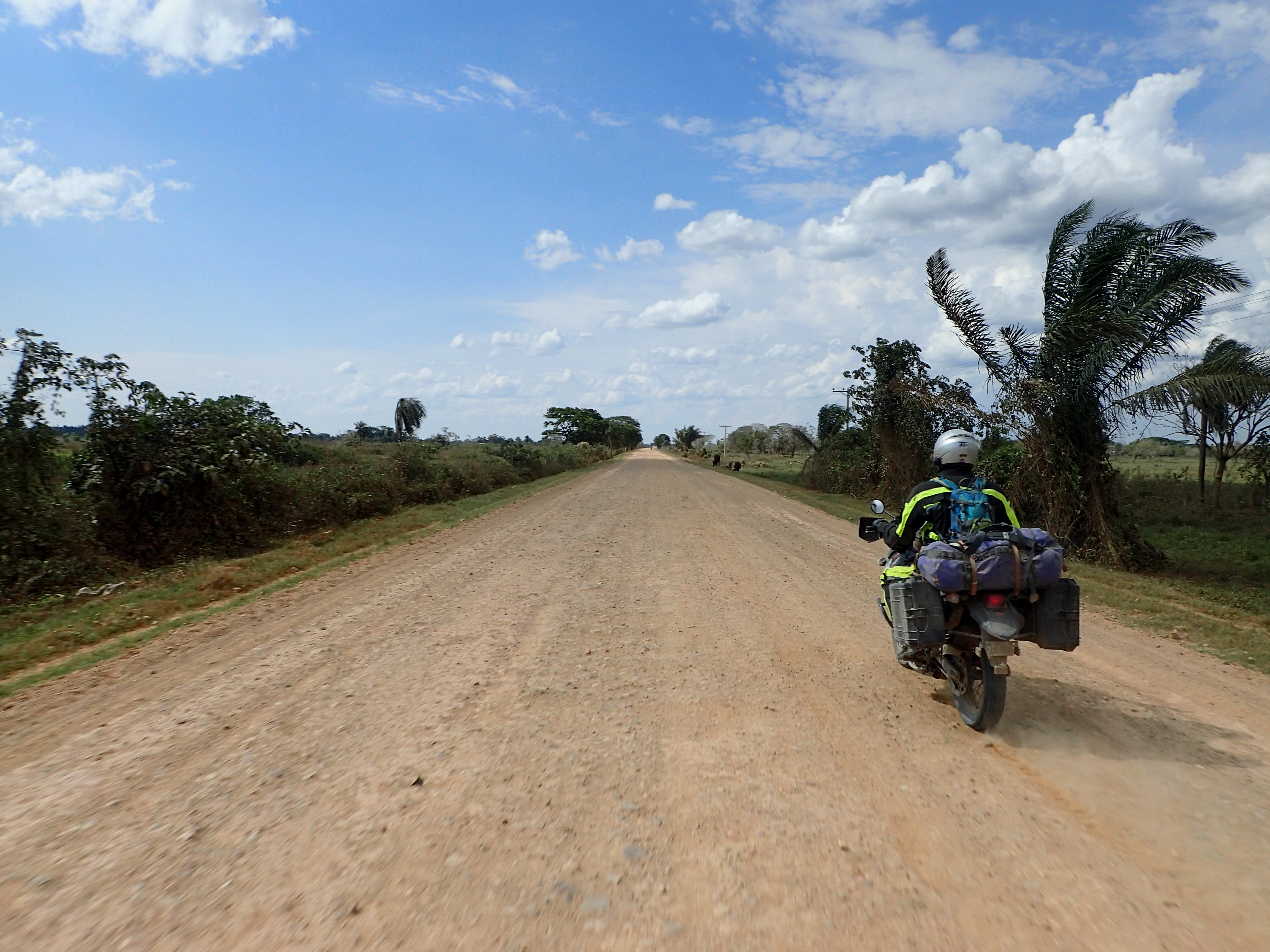
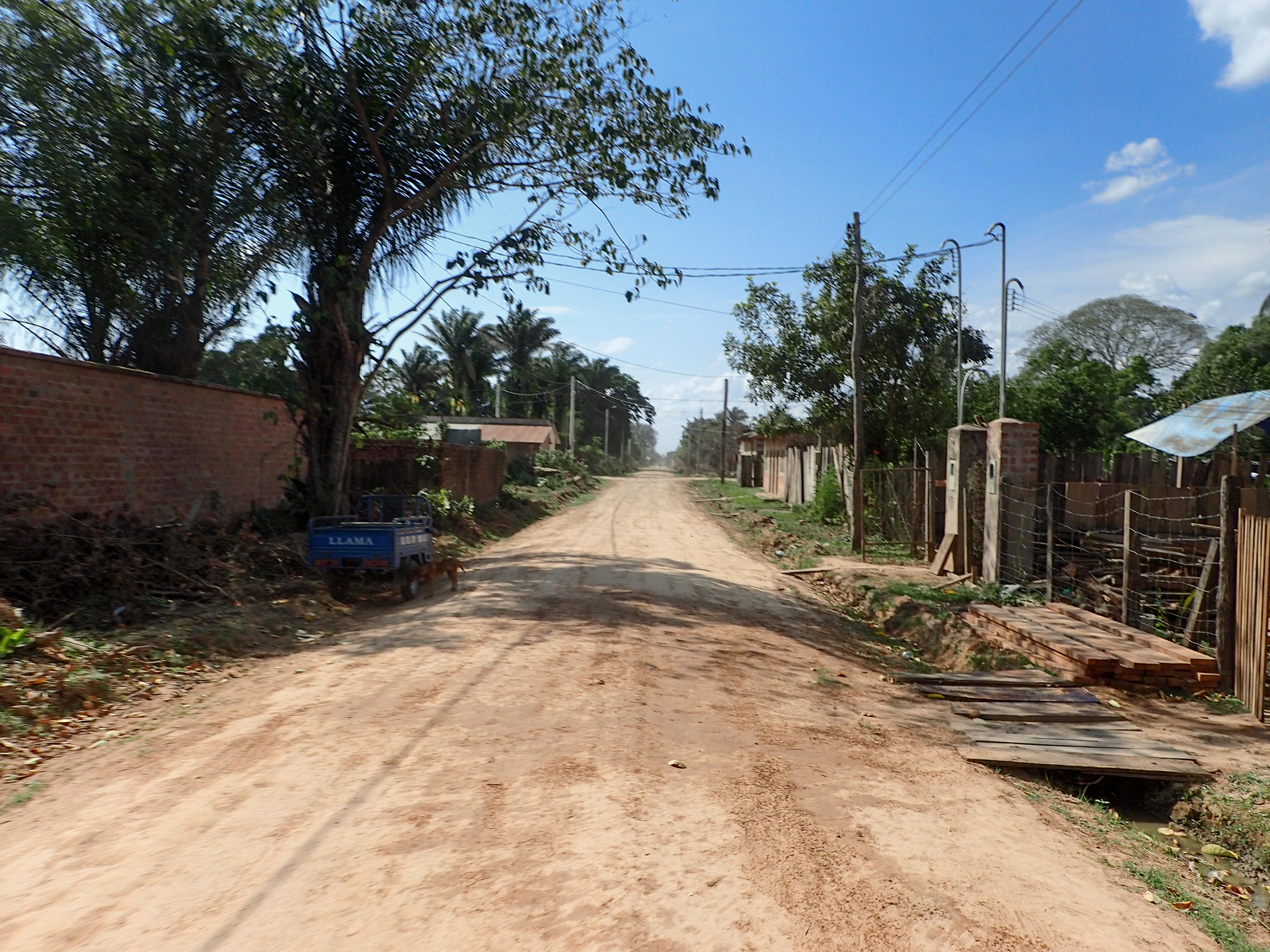
2015-09-11 Rurrenabaque to San Borja 690south on Friday, September 11, 2015 Add Comment Autoblog Edit Stats Distance: 158 km (98 miles) Max Elevation: 283 m (929 feet) Min Elevation: 160 m (526 feet) Ascent: 480 m (1576 feet) Descent: 561 m (1842 feet) Description Pretty uneventful ride on mostly paved road until we met back up with route 3. The road south out of Rurrenabaque was in much better shape after just the one week we were in the Jungle. Photos Map Download GPX Elevation Chart Newer - 2015-09-12 San Borja to San Ignacio de Moxos Older - 2015-09-10 Rurrenabaque Share on Facebook Share on Twitter Share on Google Plus RELATED POSTS


0 comments:
Post a Comment