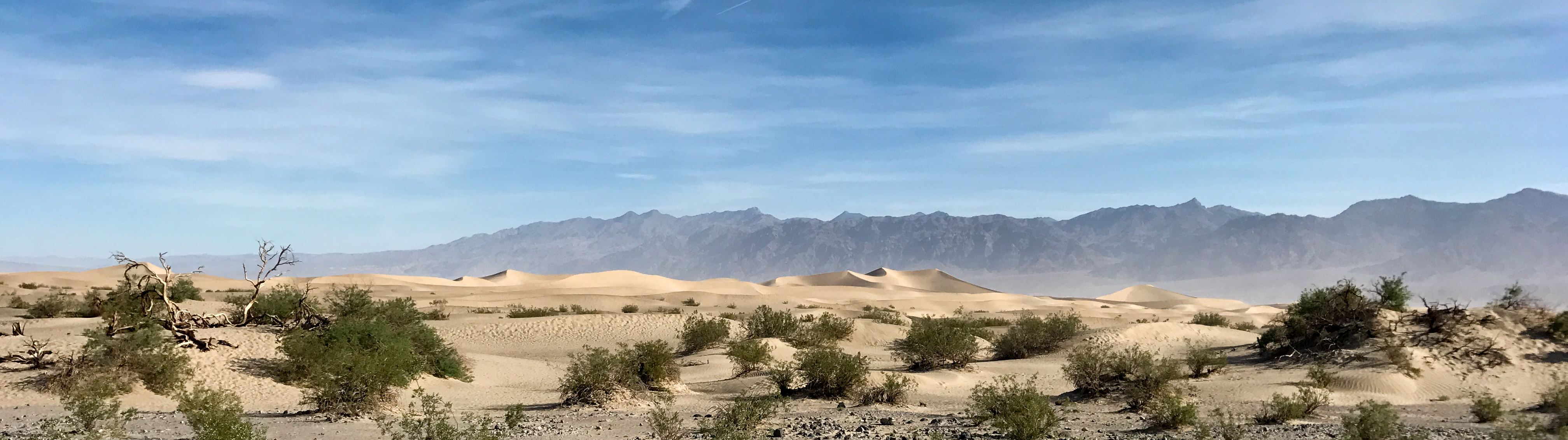
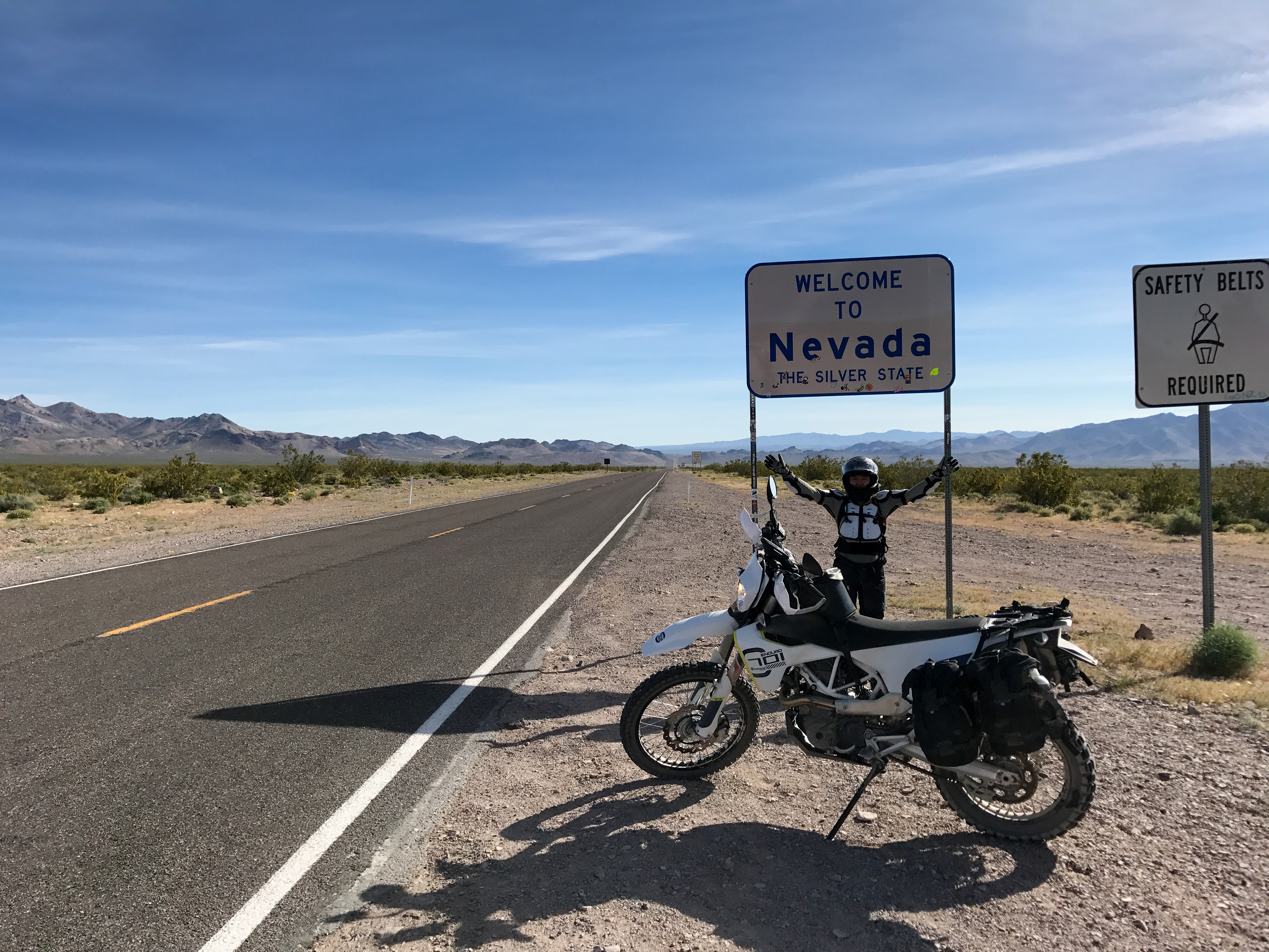
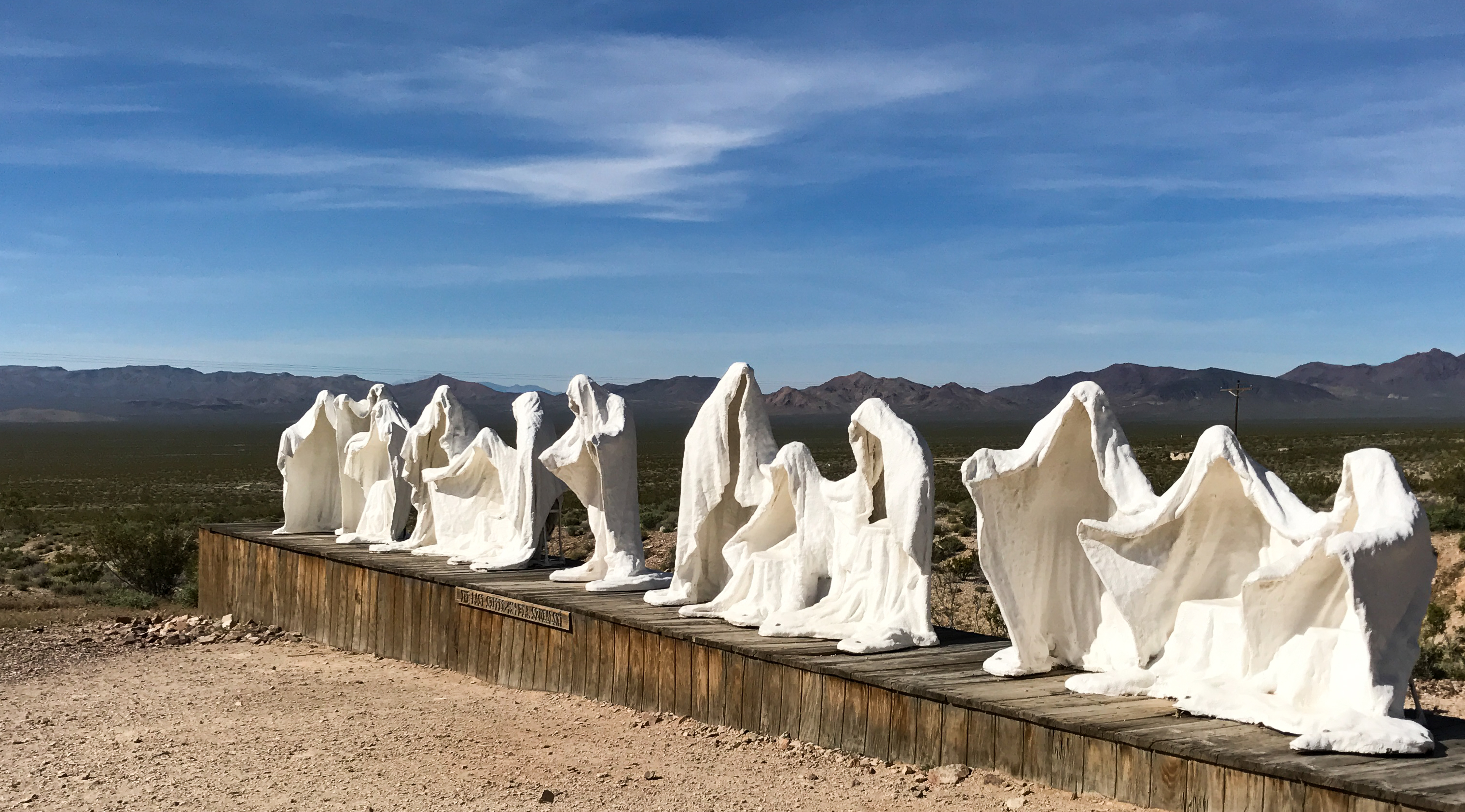
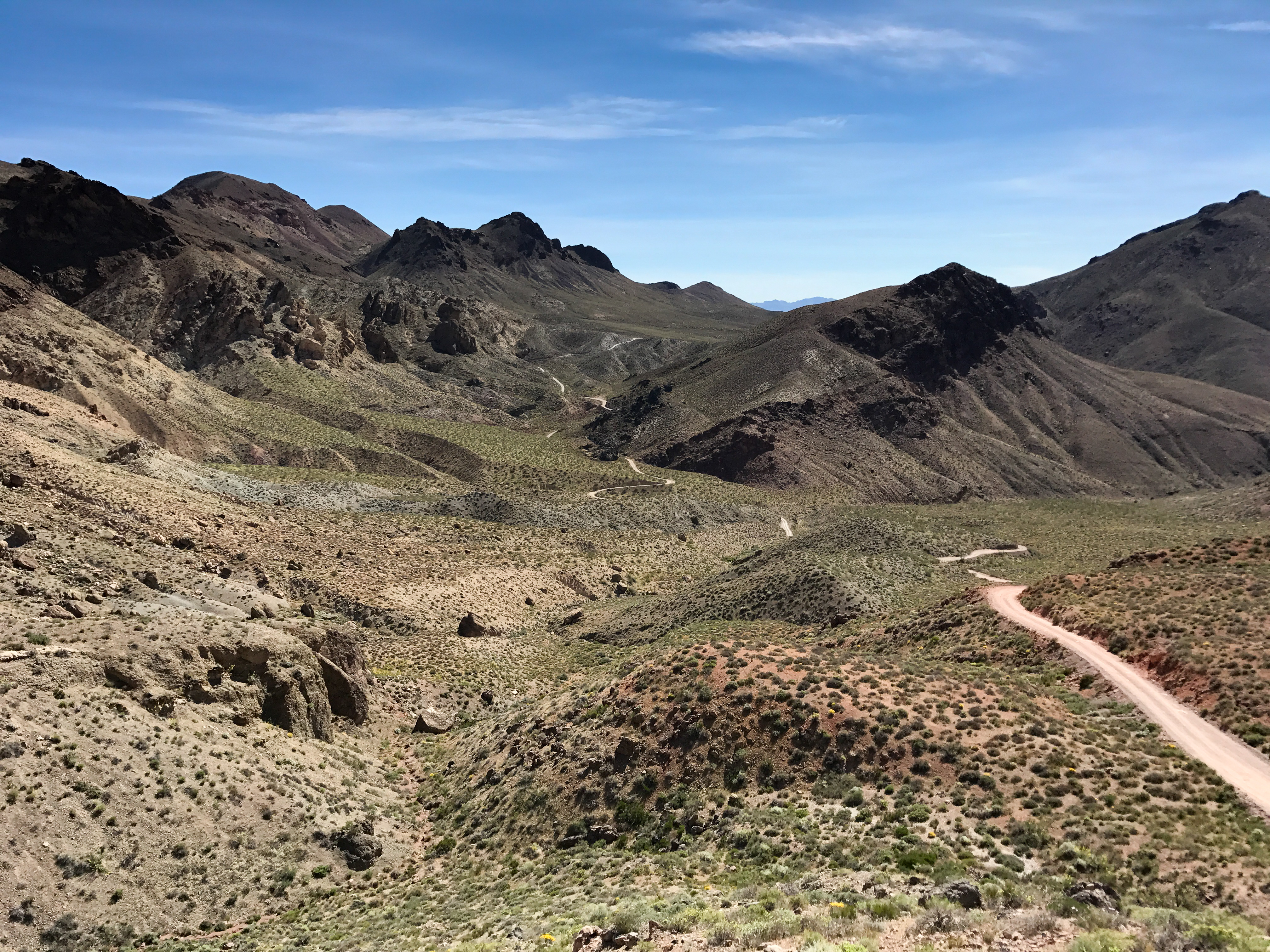
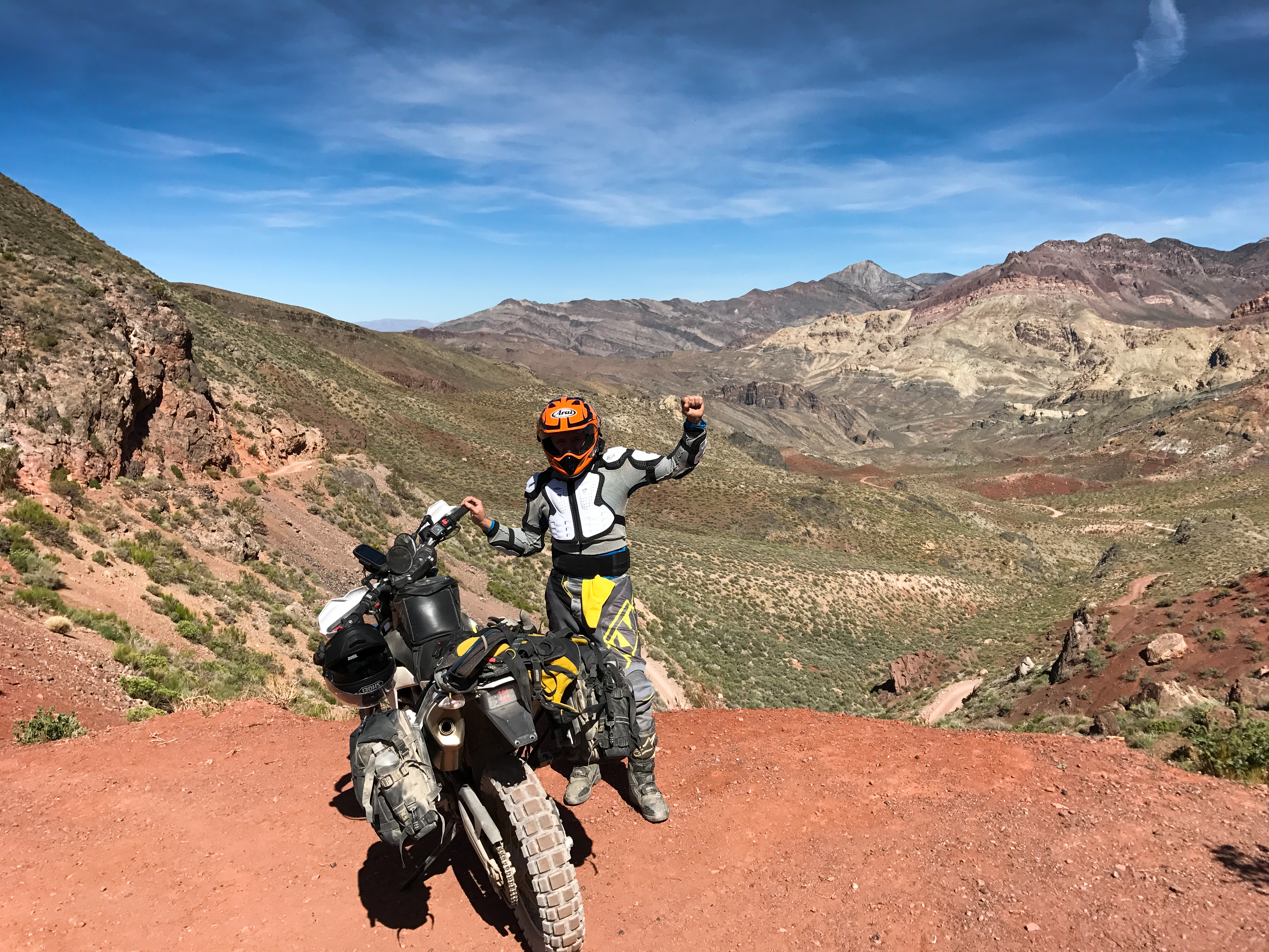
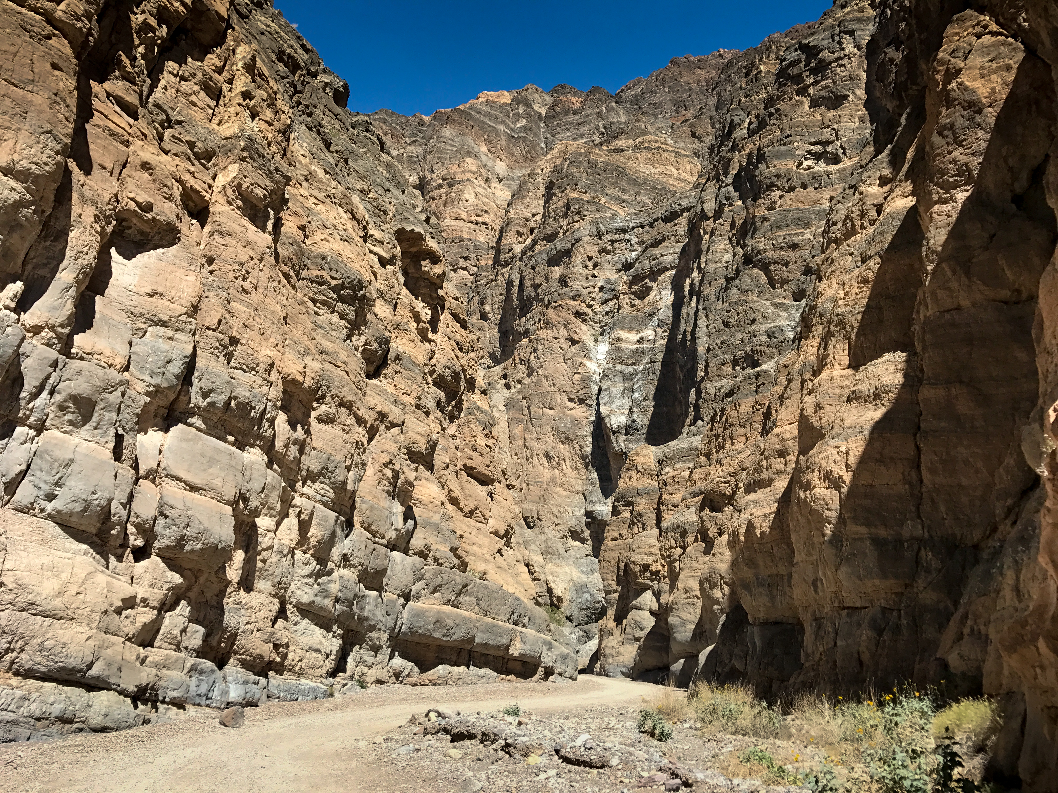
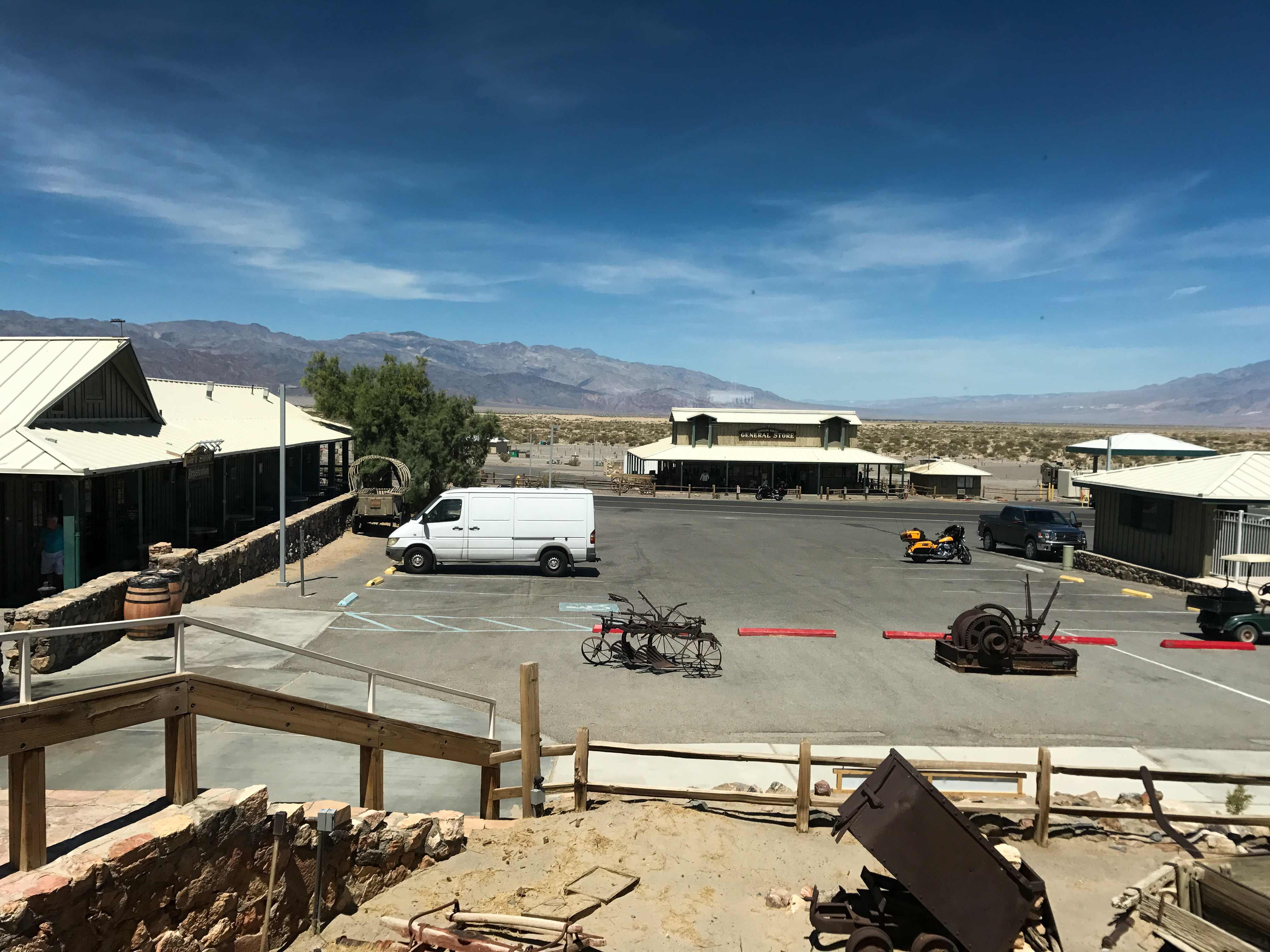
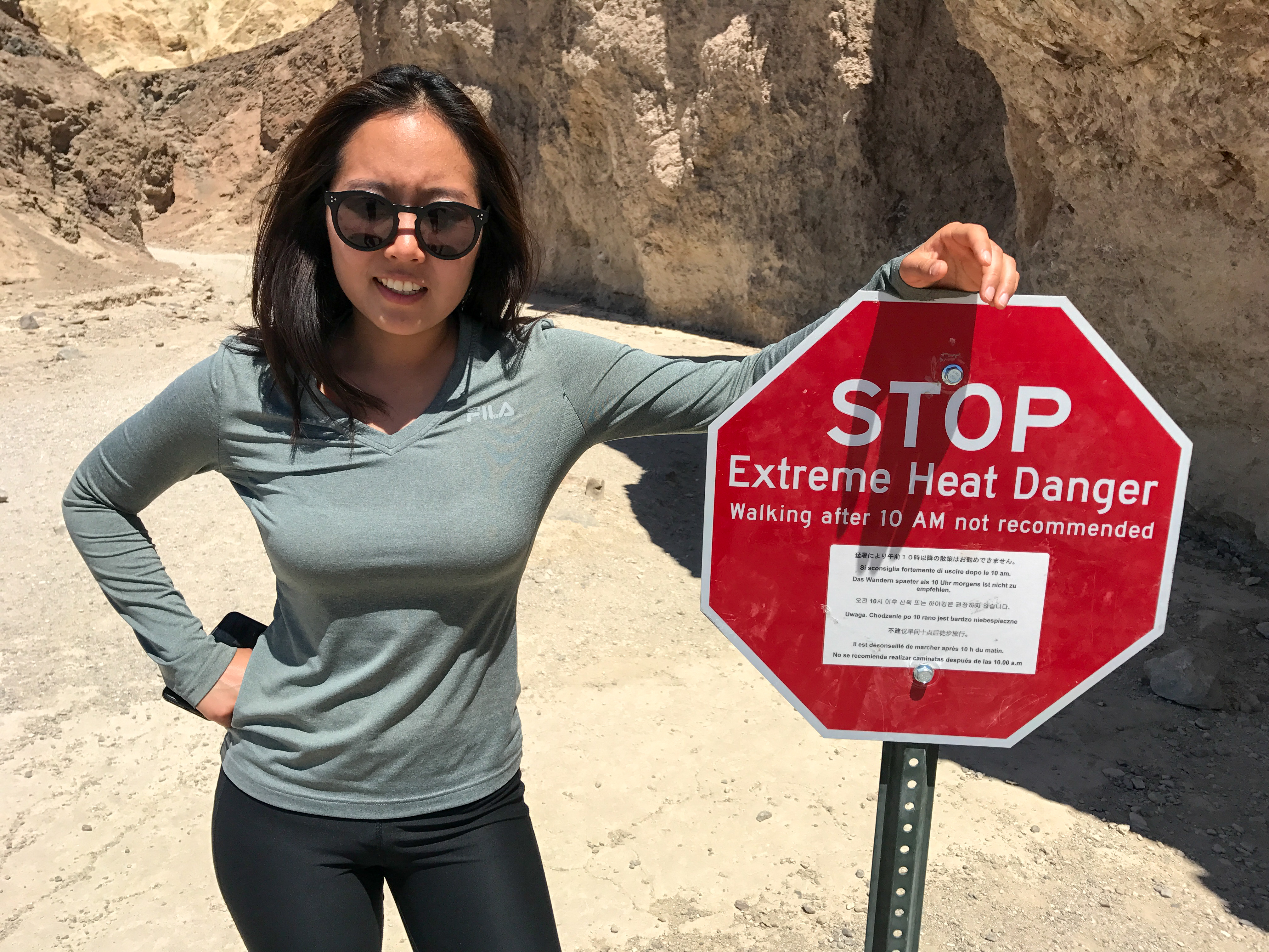
After a morning ride through Titus Canyon and Rhyolite Ghost Town we headed back to the van to hit up the parks popular sights you could get to by car. The heat was already well over 100 degrees by 10am. We then drove to the camp spot at the highest altitude still open to try and get out of the heat. We headed up to Wildrose camp ground. It was a very nice spot to rest.


0 comments:
Post a Comment