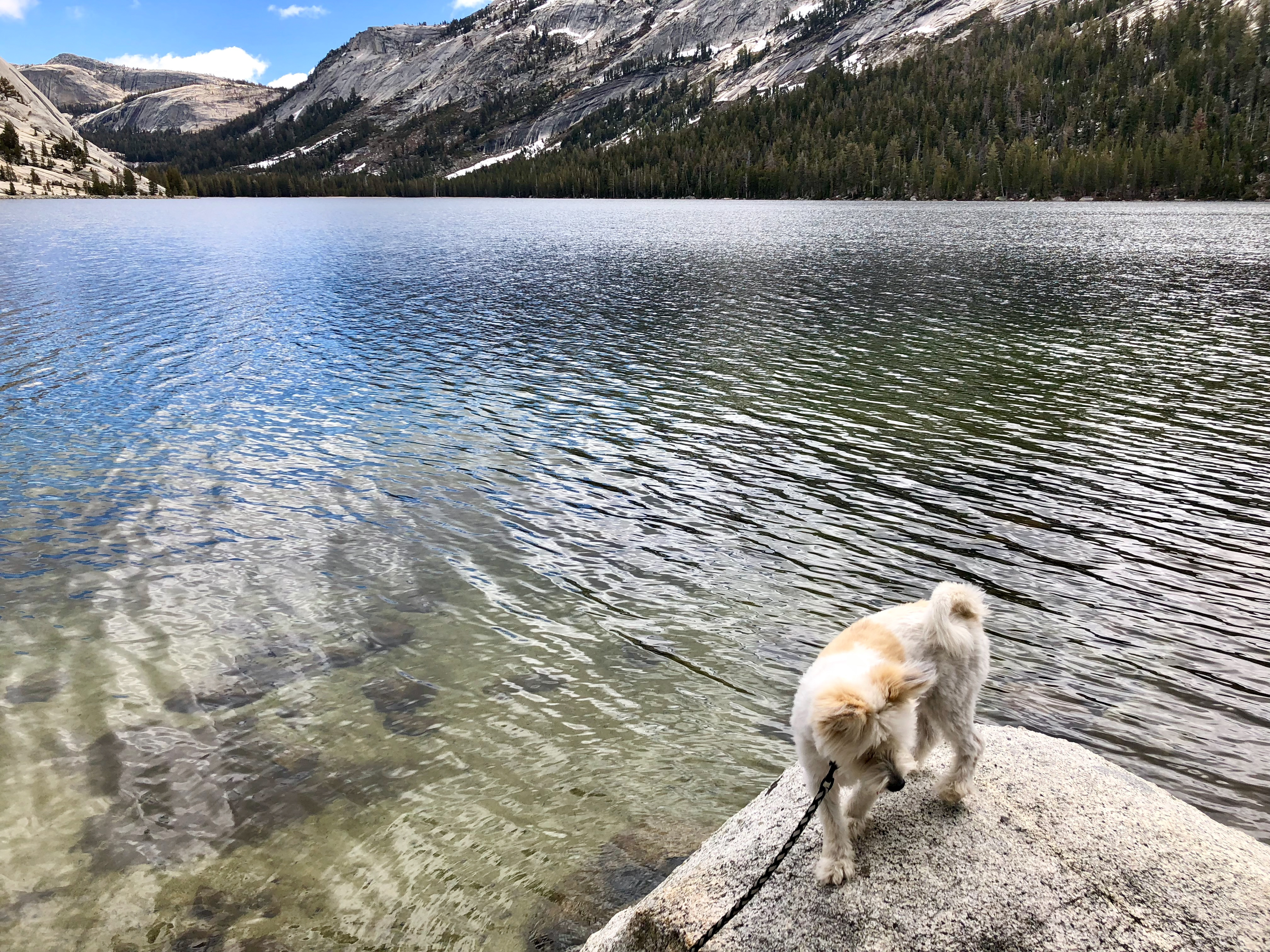
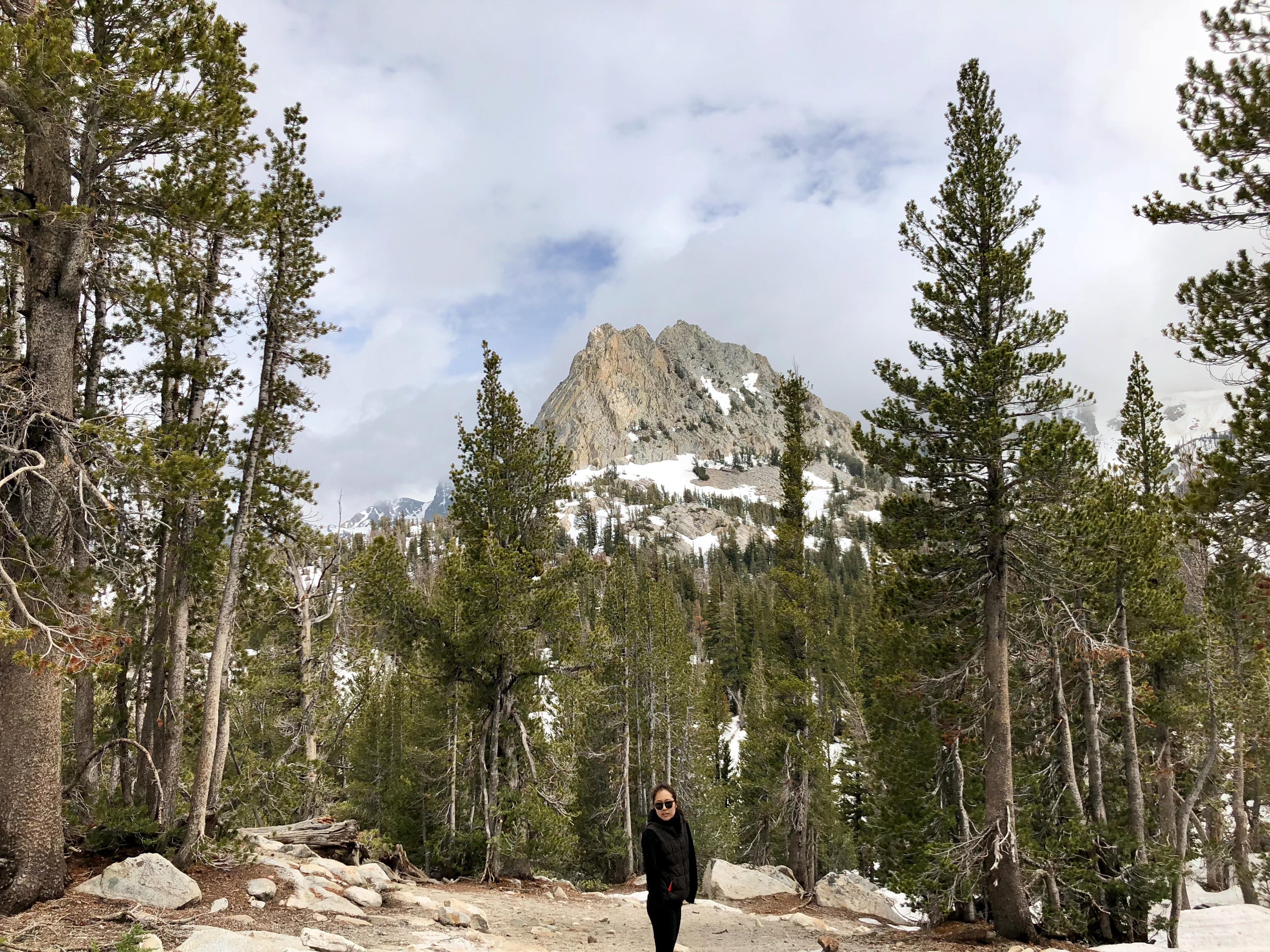
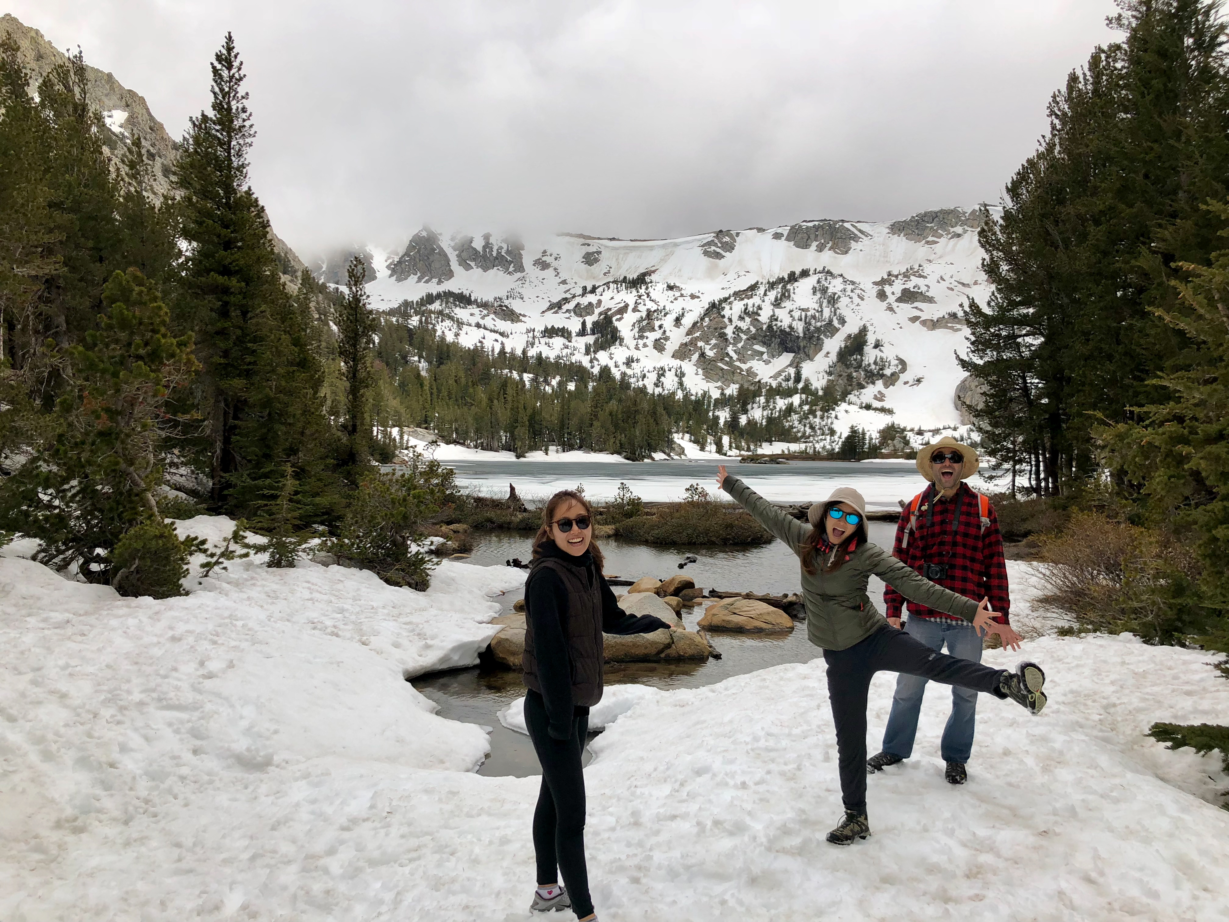
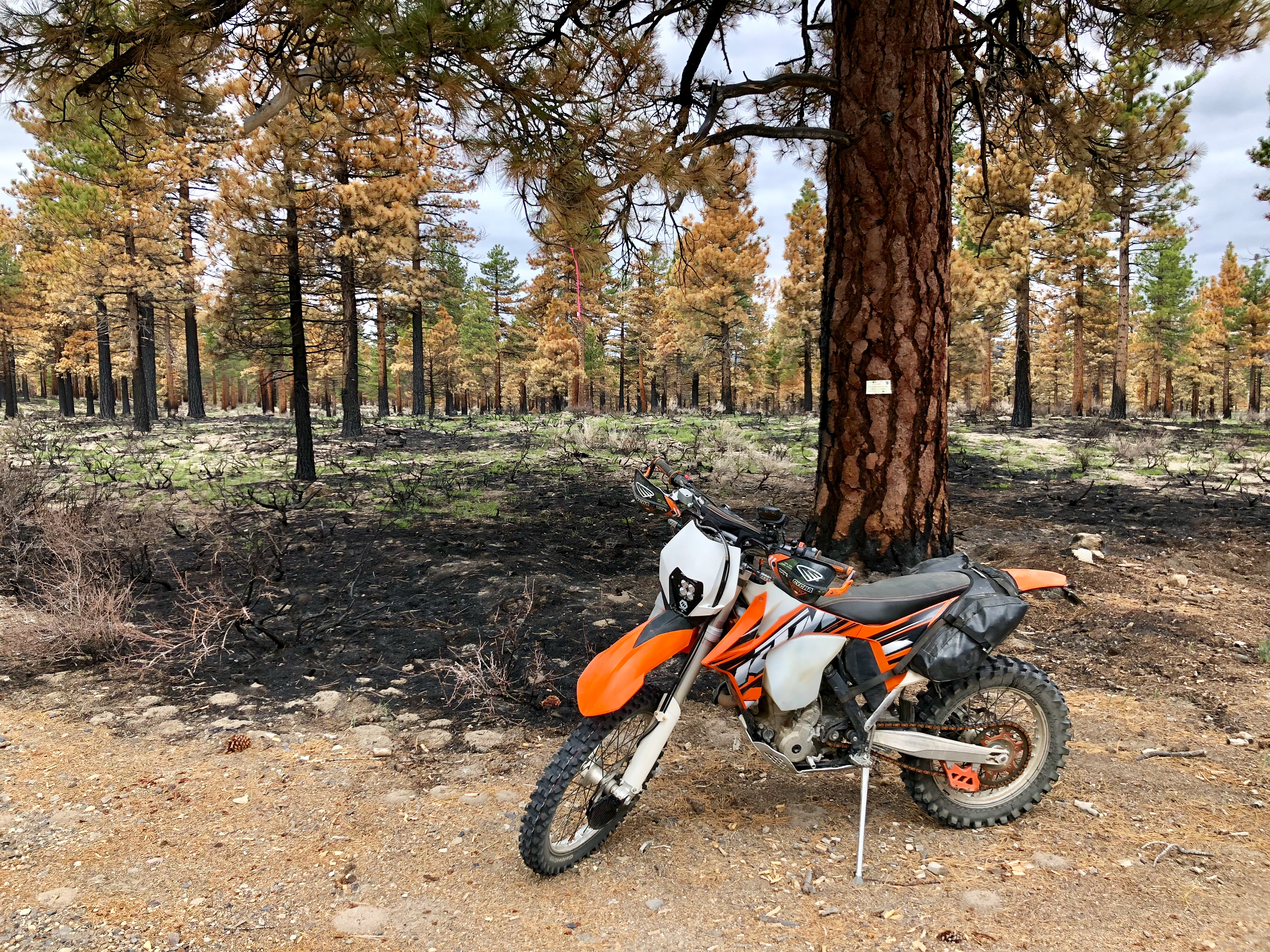
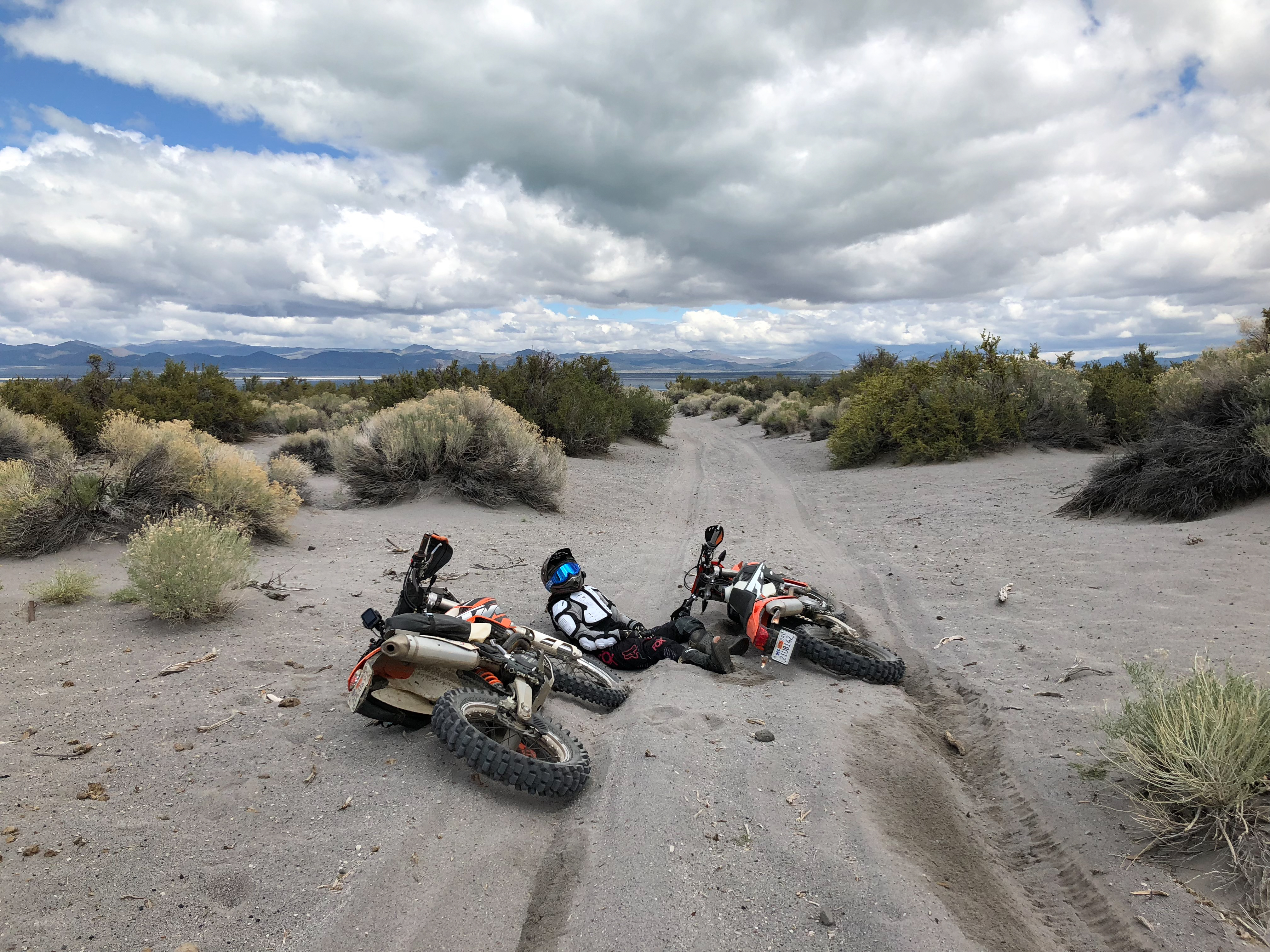
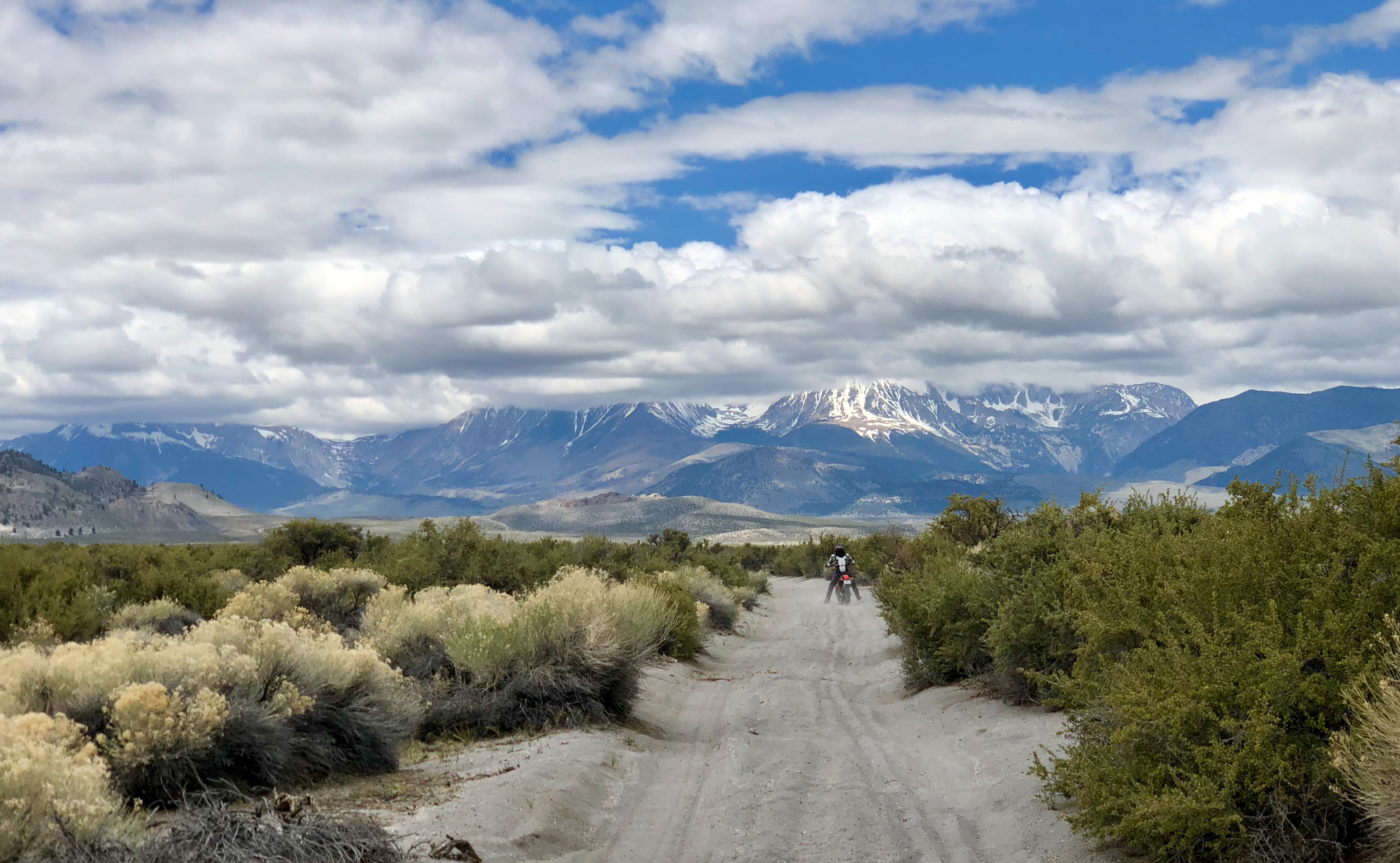
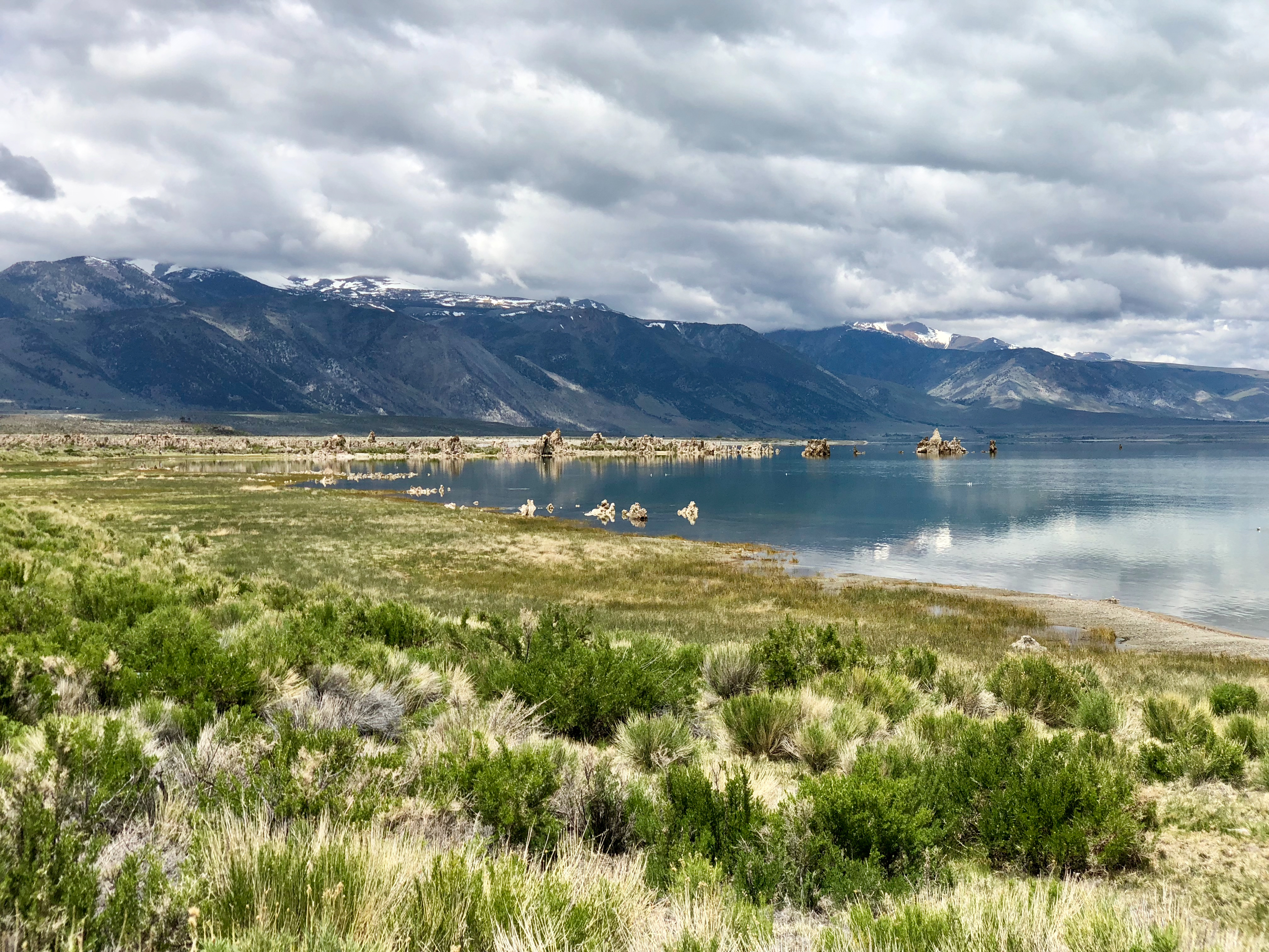
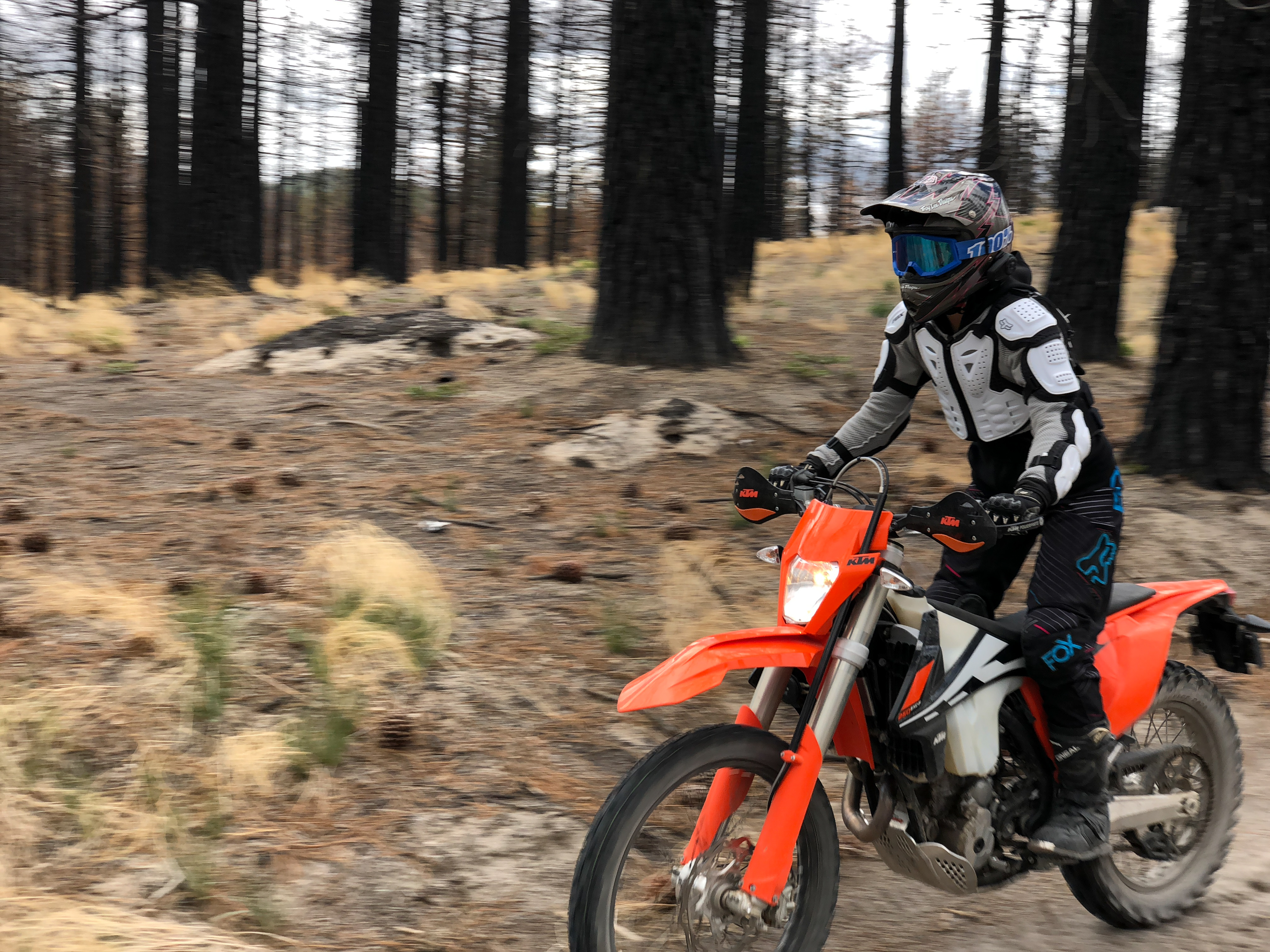
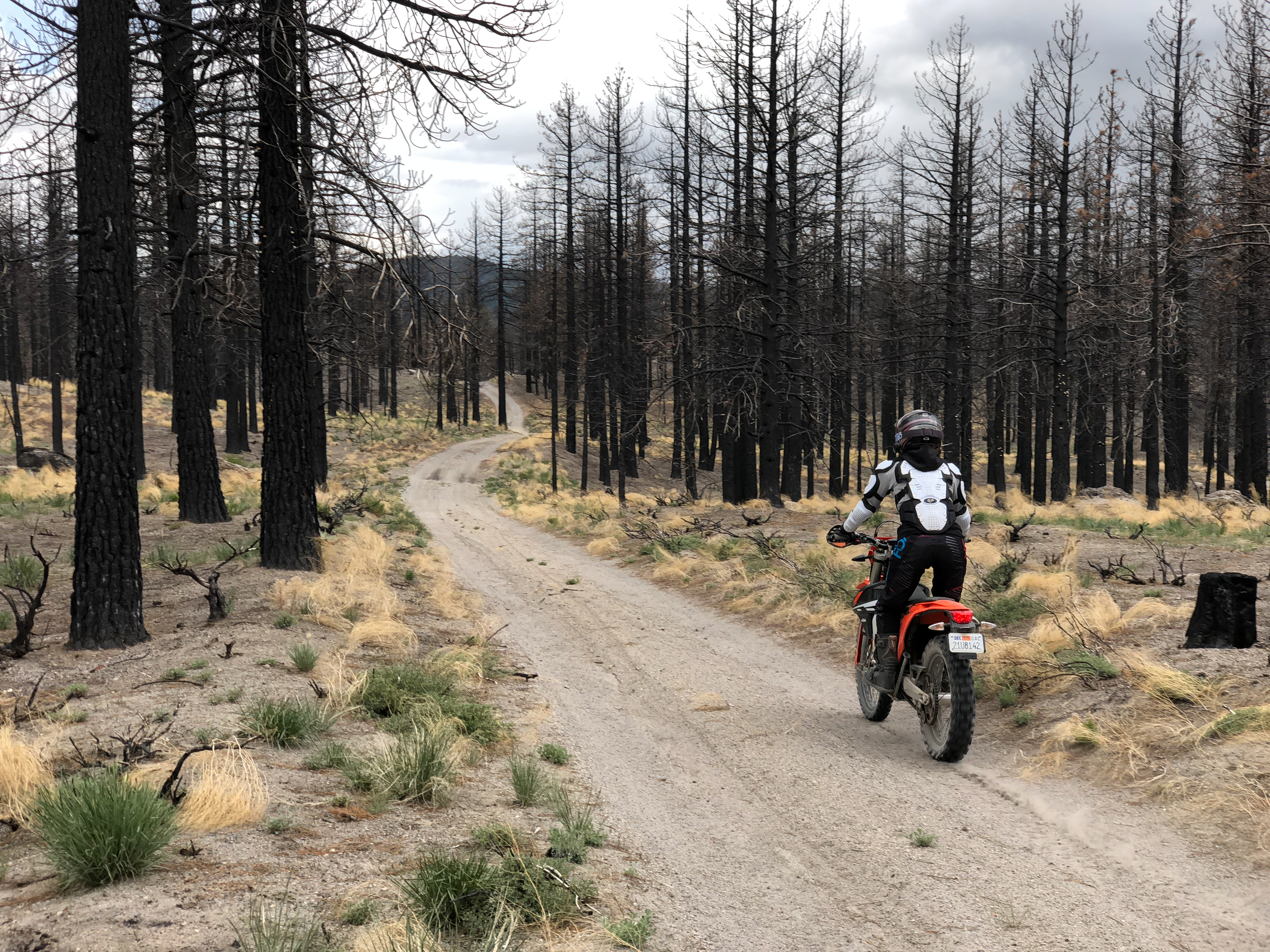
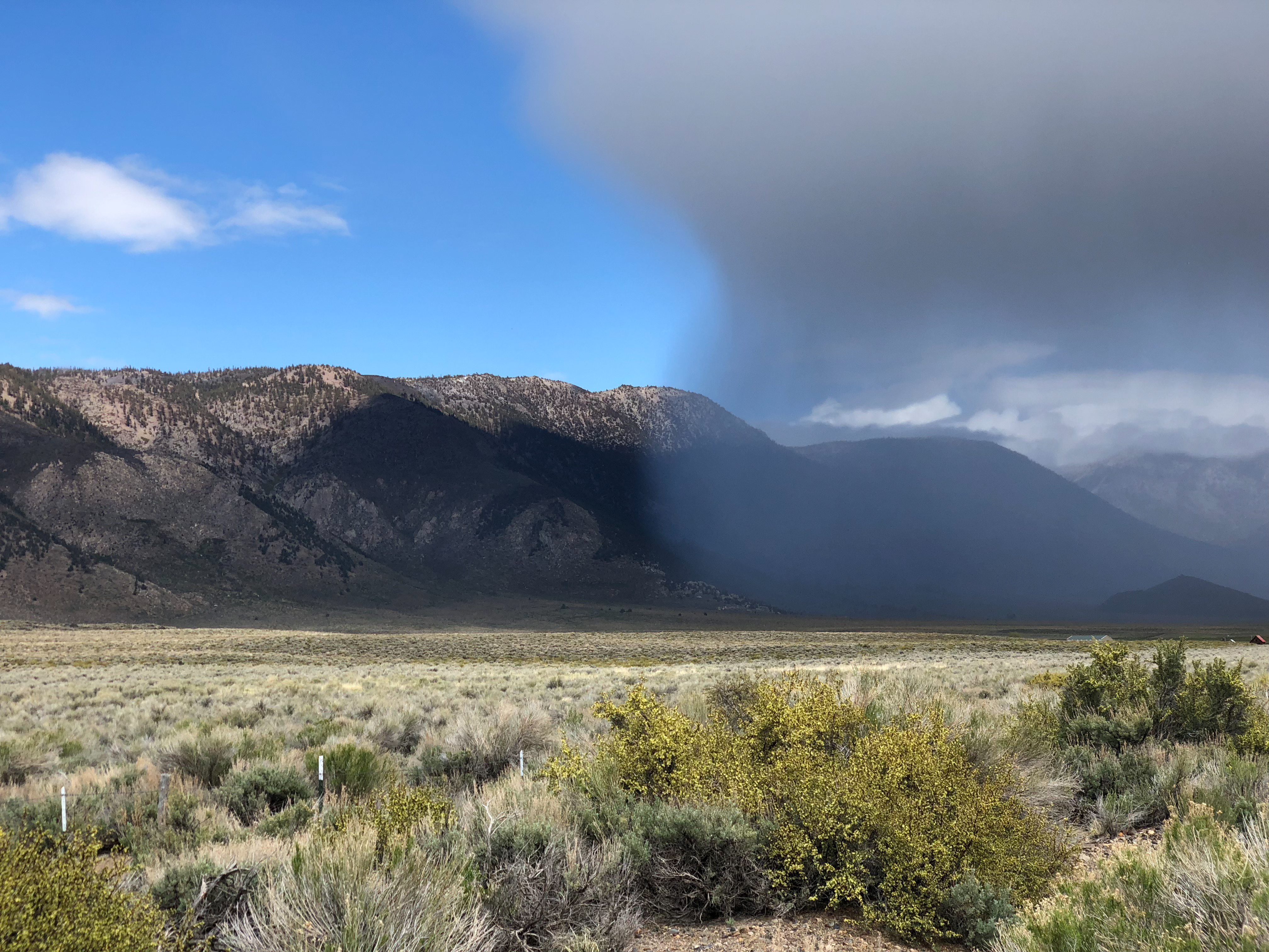
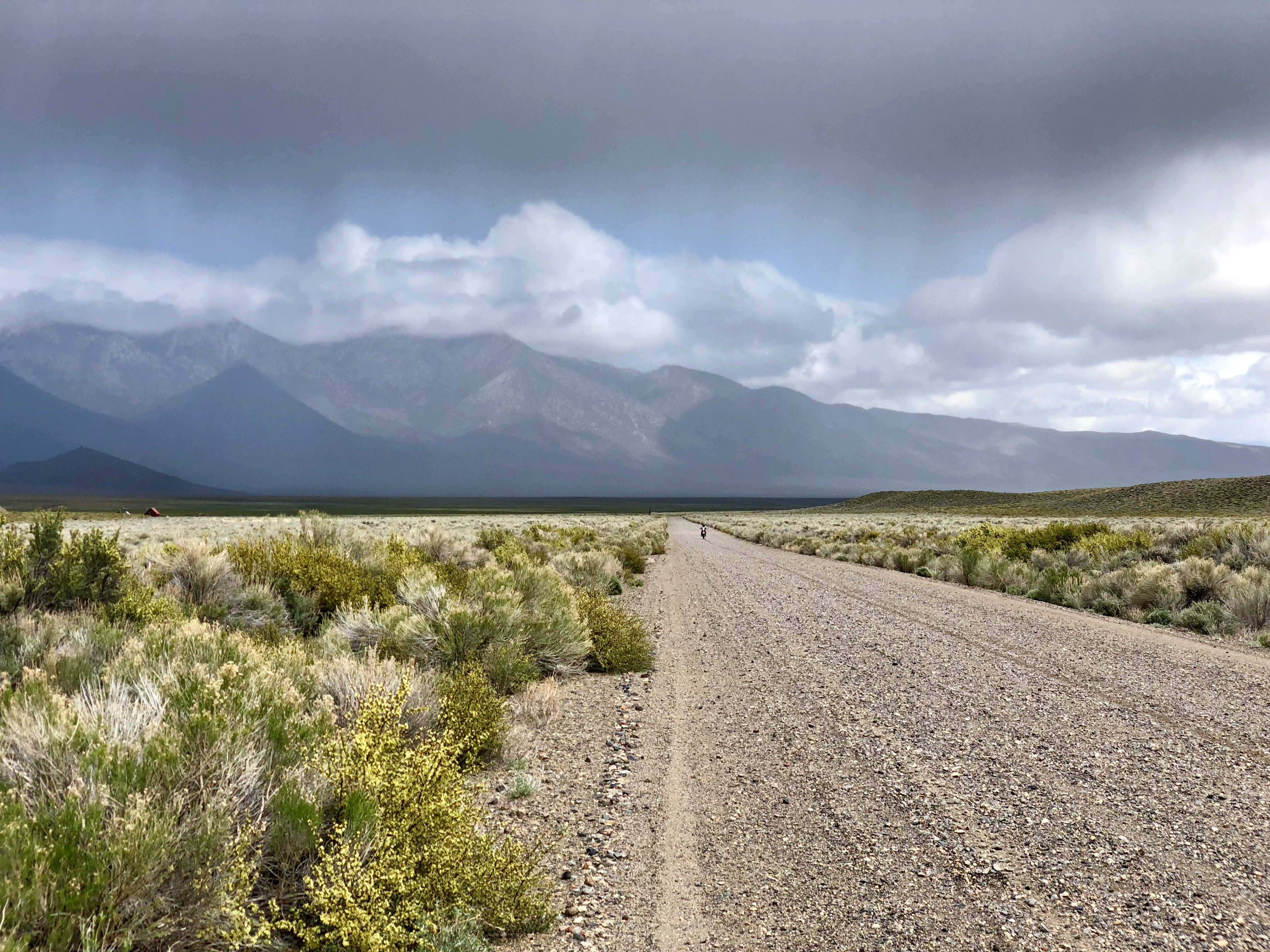
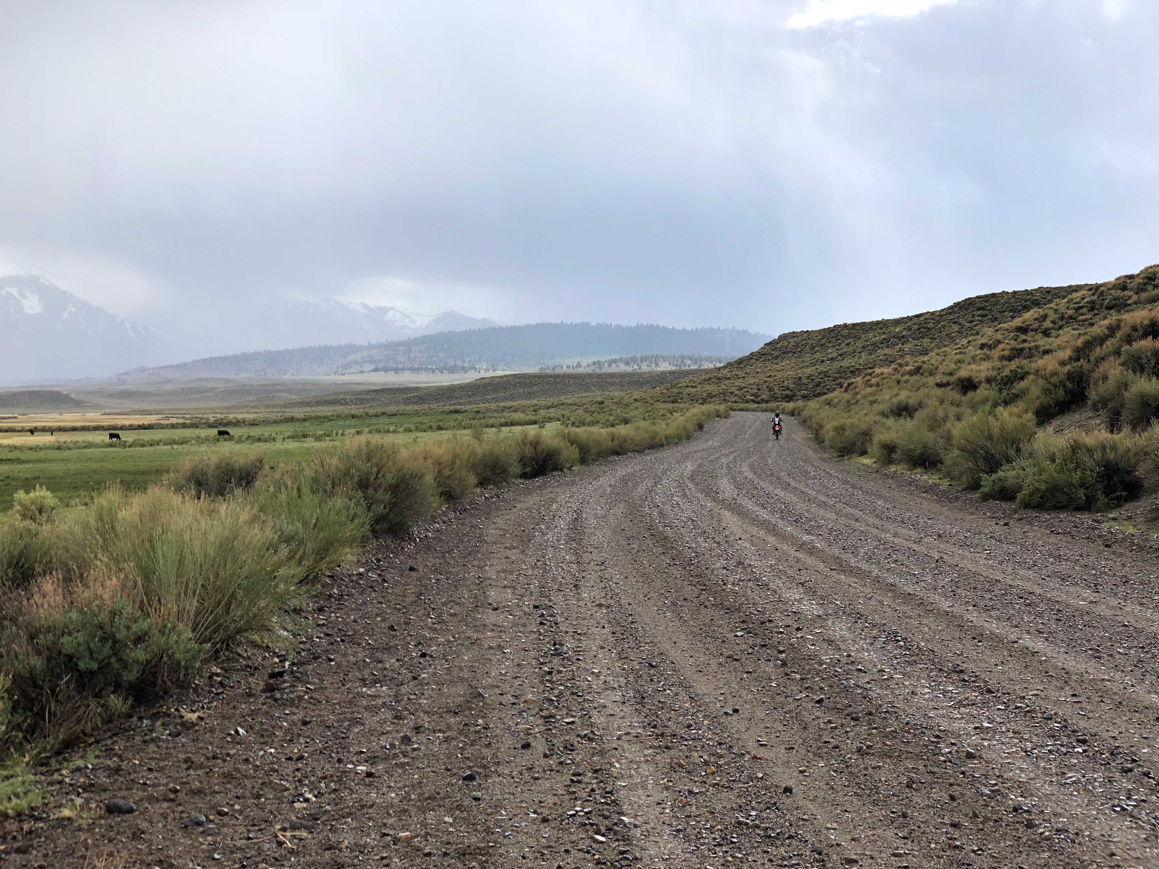
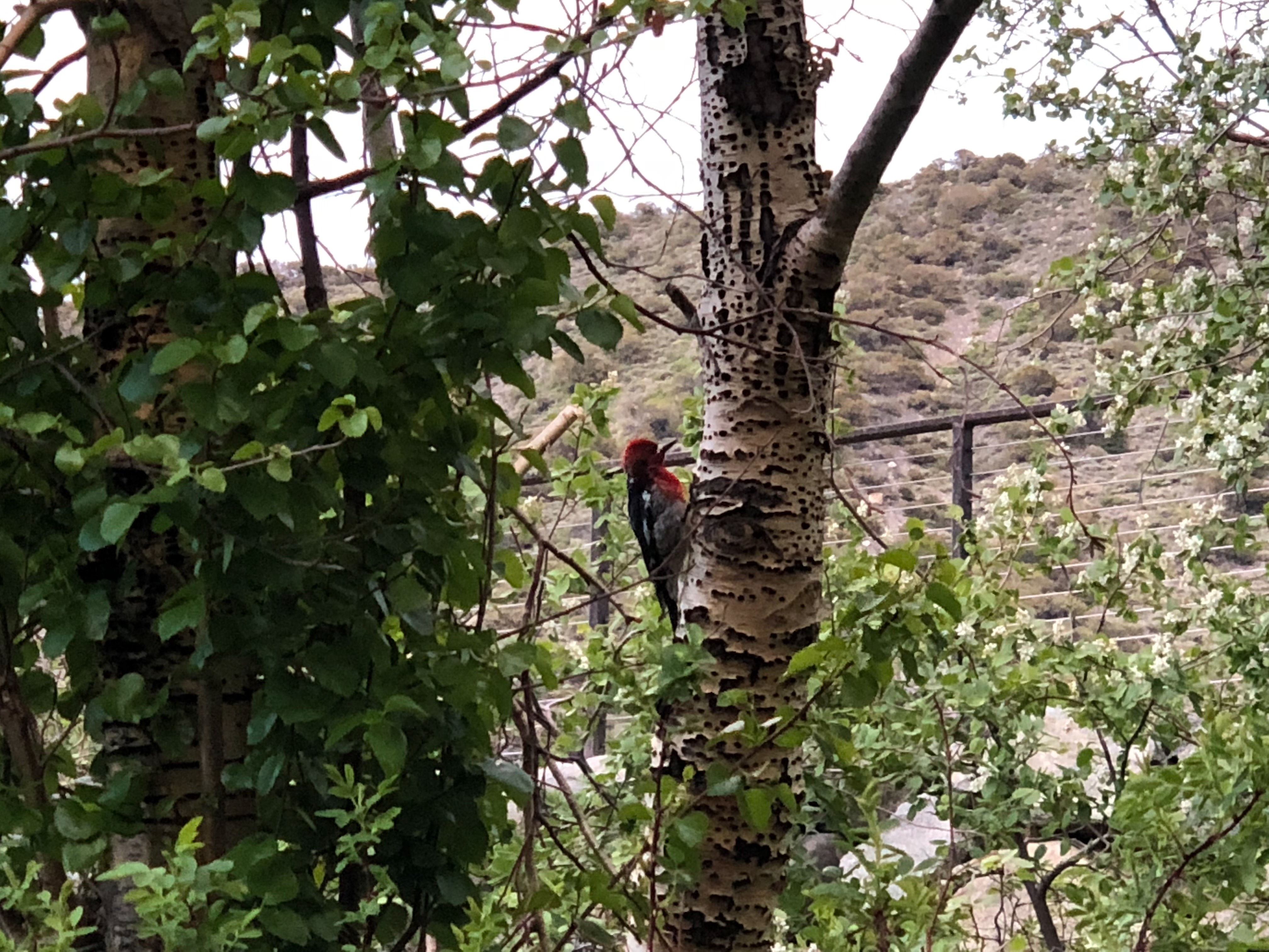
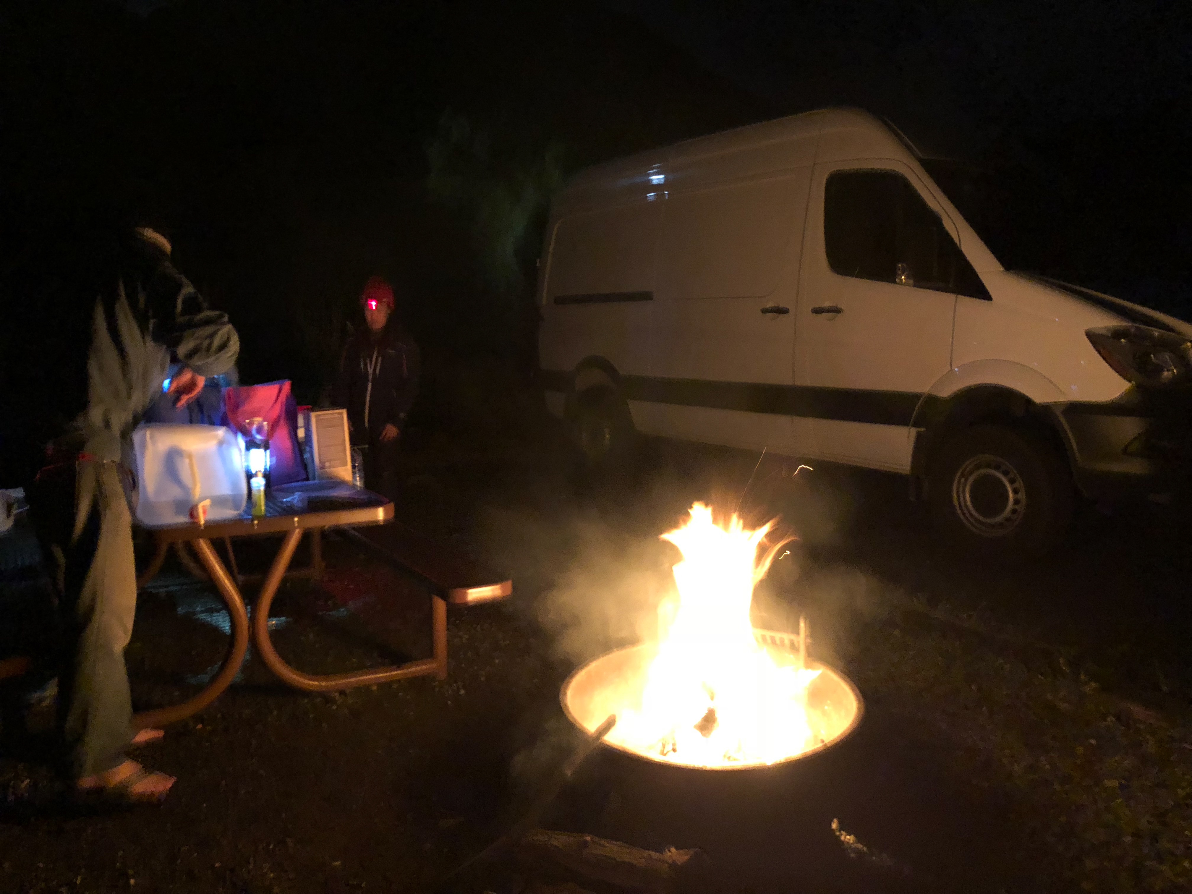
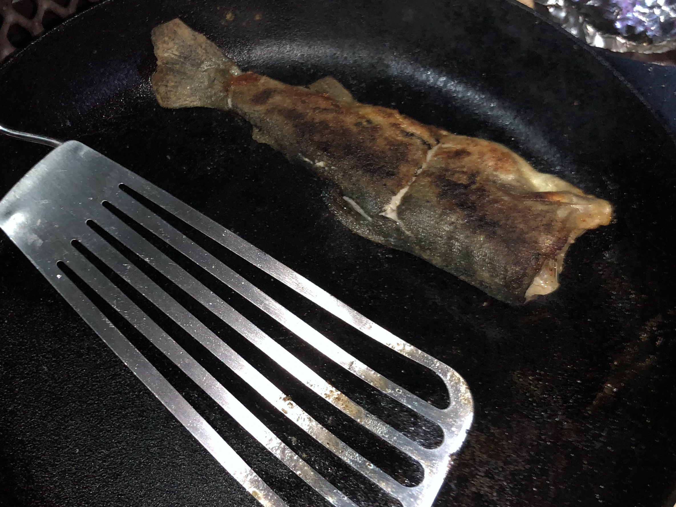
Driving out to Yosemite, camping on the side of the road then driving over Tioga pass early before traffic to go hiking near Lake George in Mammoth. Followed by camping at the hot springs then riding out to Mono Lake and back. Finish the weekend off with a little fishing before driving back over Tioga pass.


0 comments:
Post a Comment