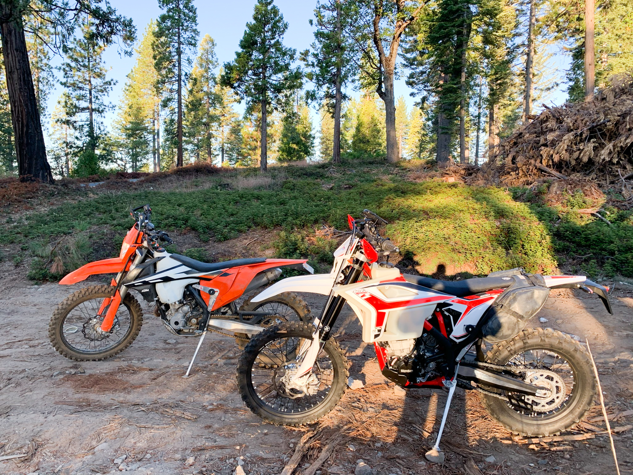
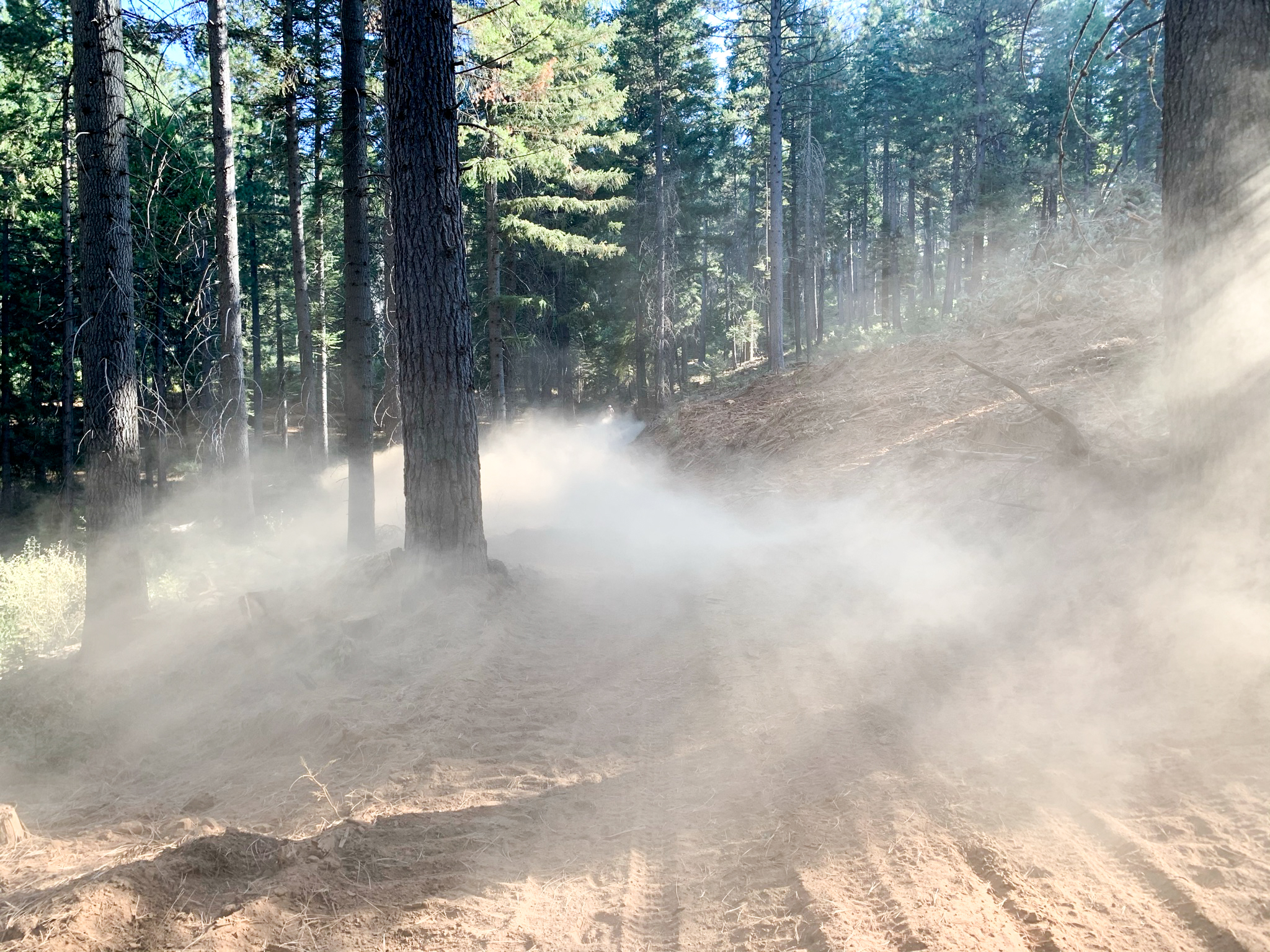
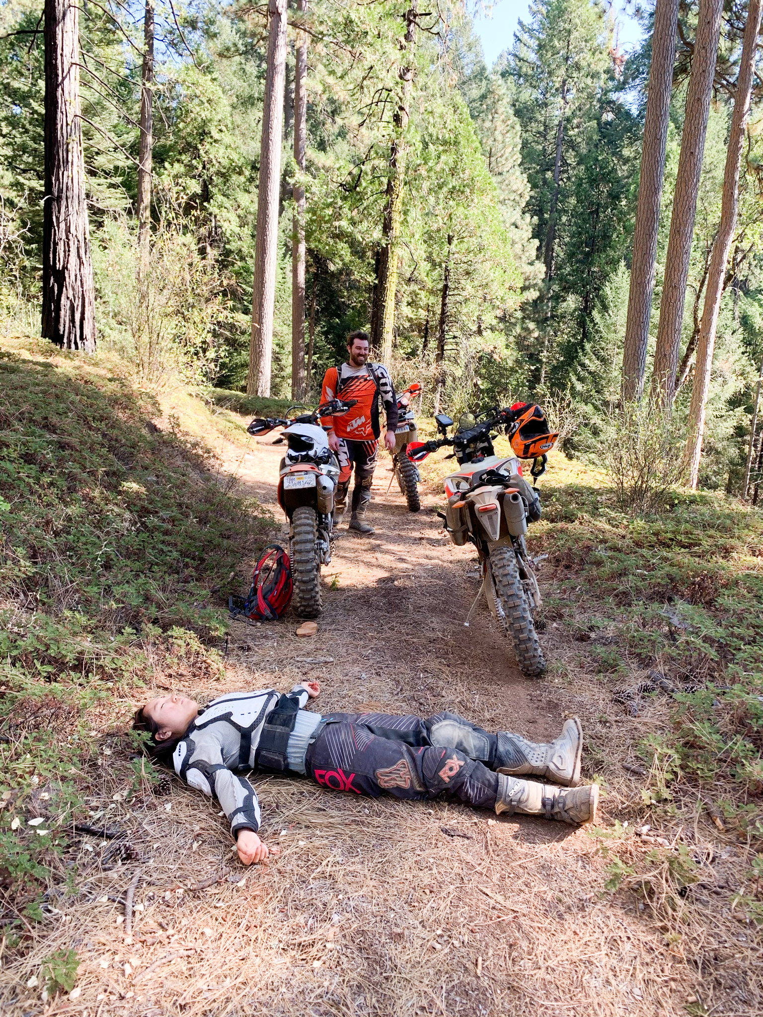
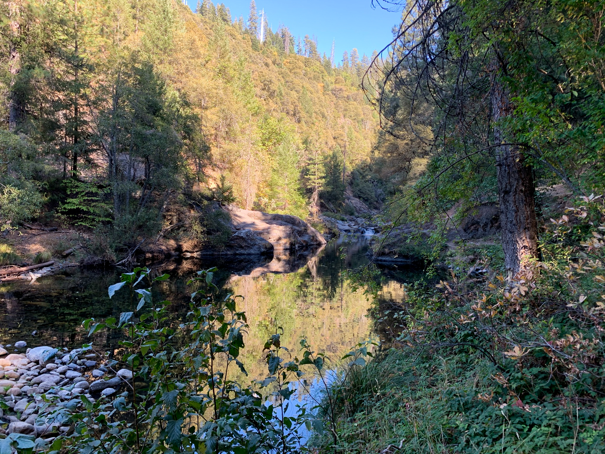
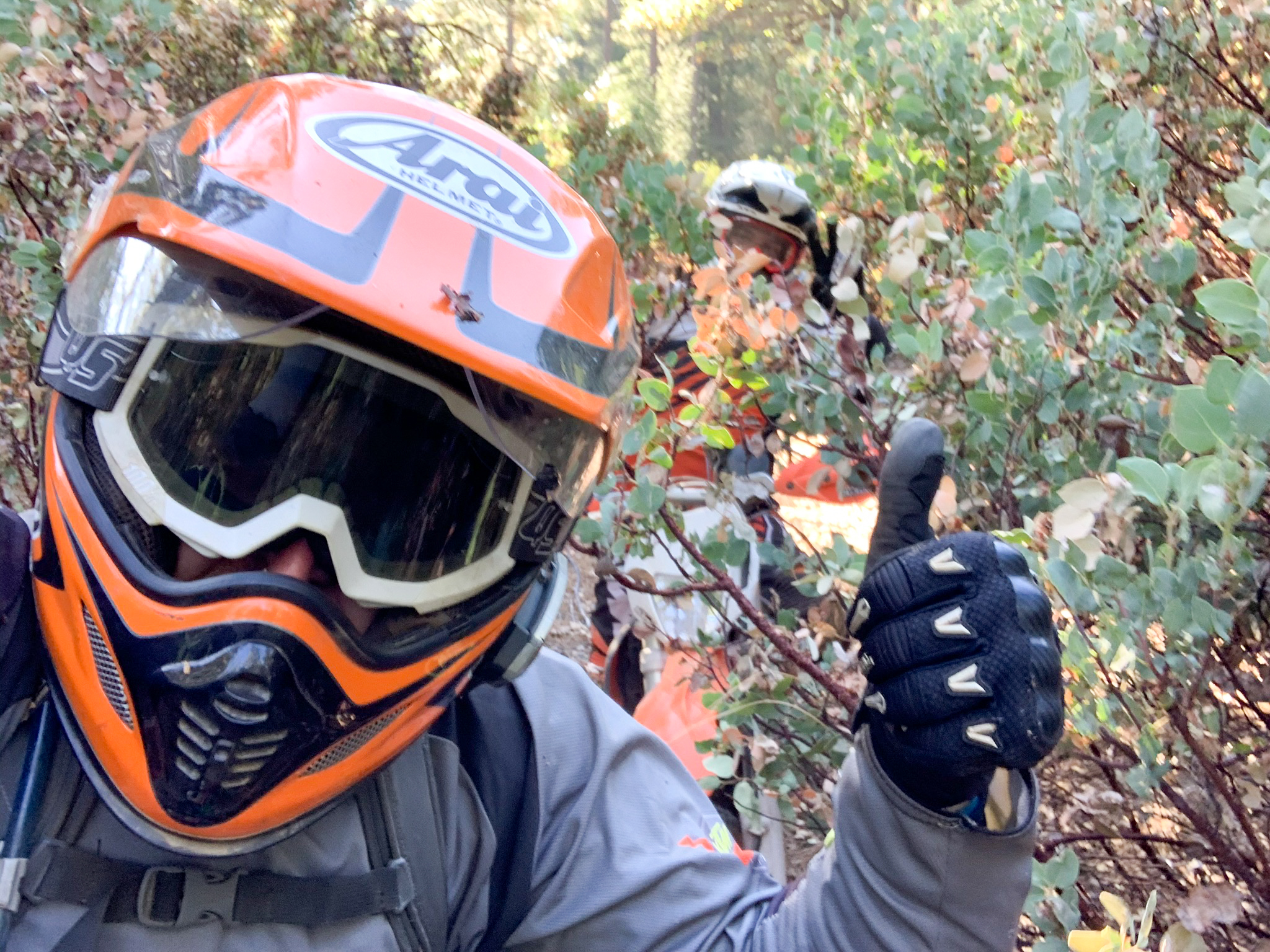
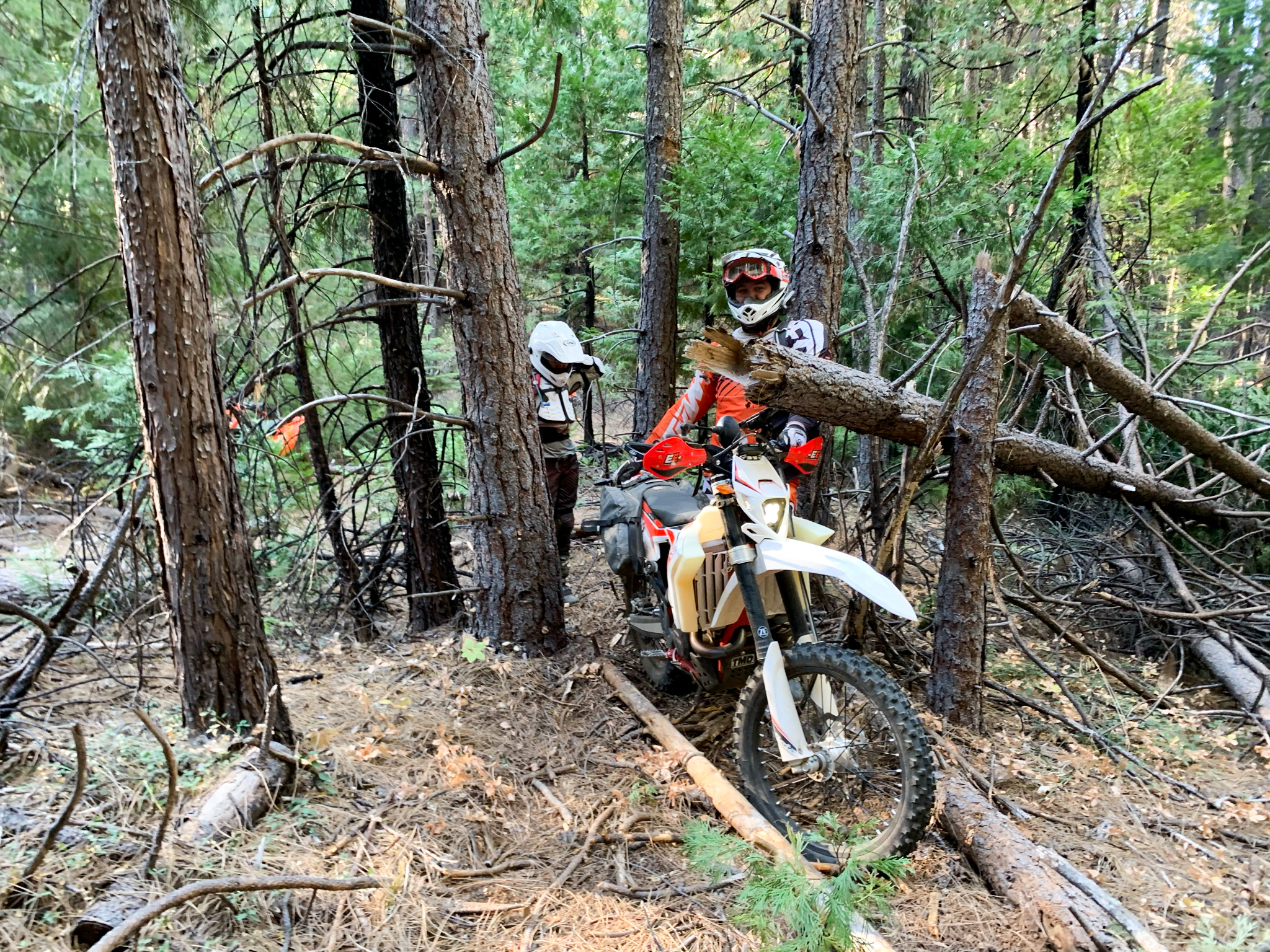
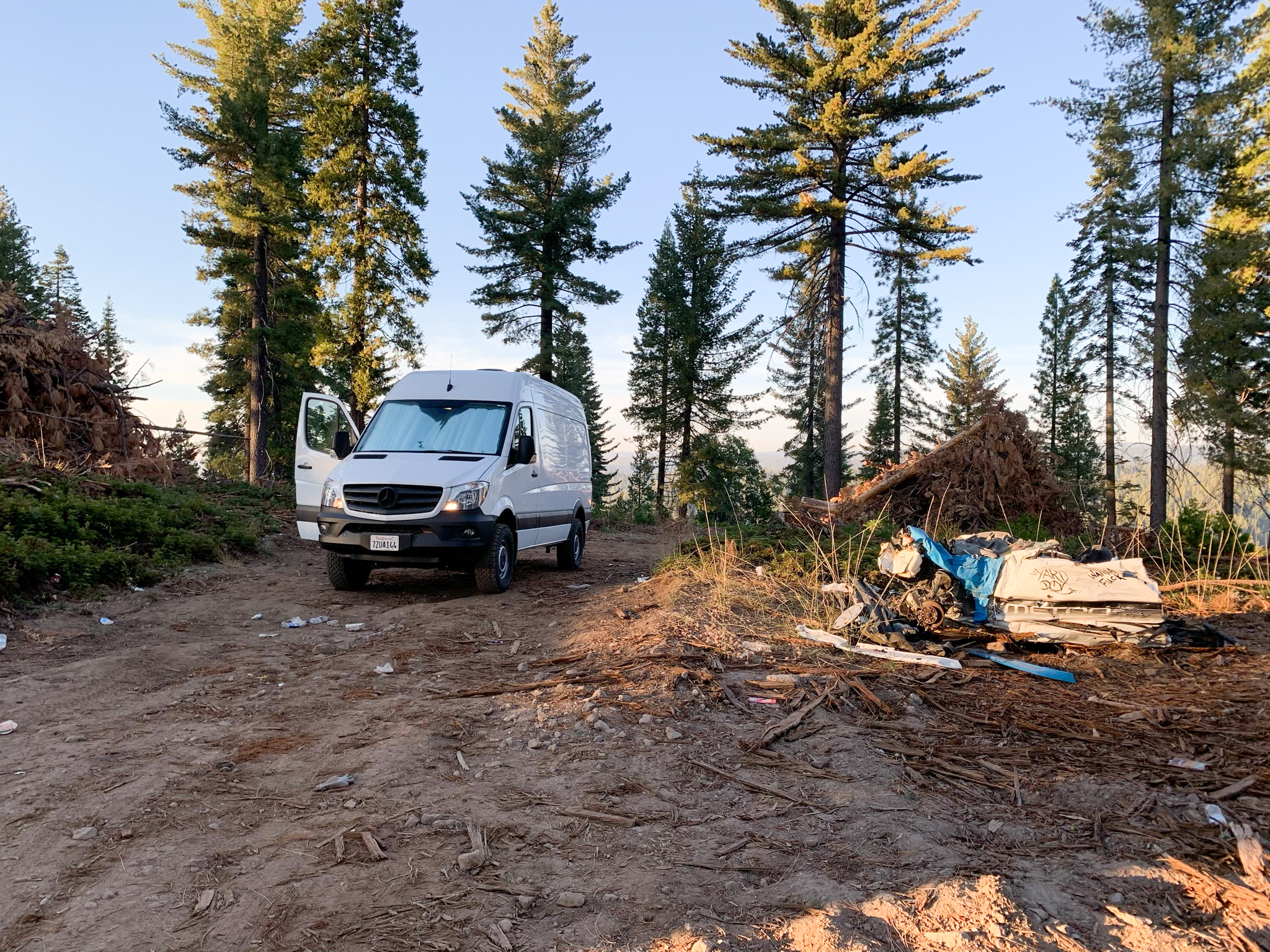
Lots of logging going on in this area and very little rain meant a lot of dust and silt. The ride out to Jenkinson Lake was mostly fire roads, dirt roads and pavement...mostly boring. The way back had some interesting/difficult water crossings and we hacked our way across back into the OHV on the way back to the trucks.
Really impressed! Everything is very open and very clear clarification of issues. It contains truly facts. Your website is very valuable. Thanks for sharing. lake lbj real estate


This comment has been removed by the author.
ReplyDeleteReally impressed! Everything is very open and very clear clarification of issues. It contains truly facts. Your website is very valuable. Thanks for sharing. lake lbj real estate
ReplyDelete