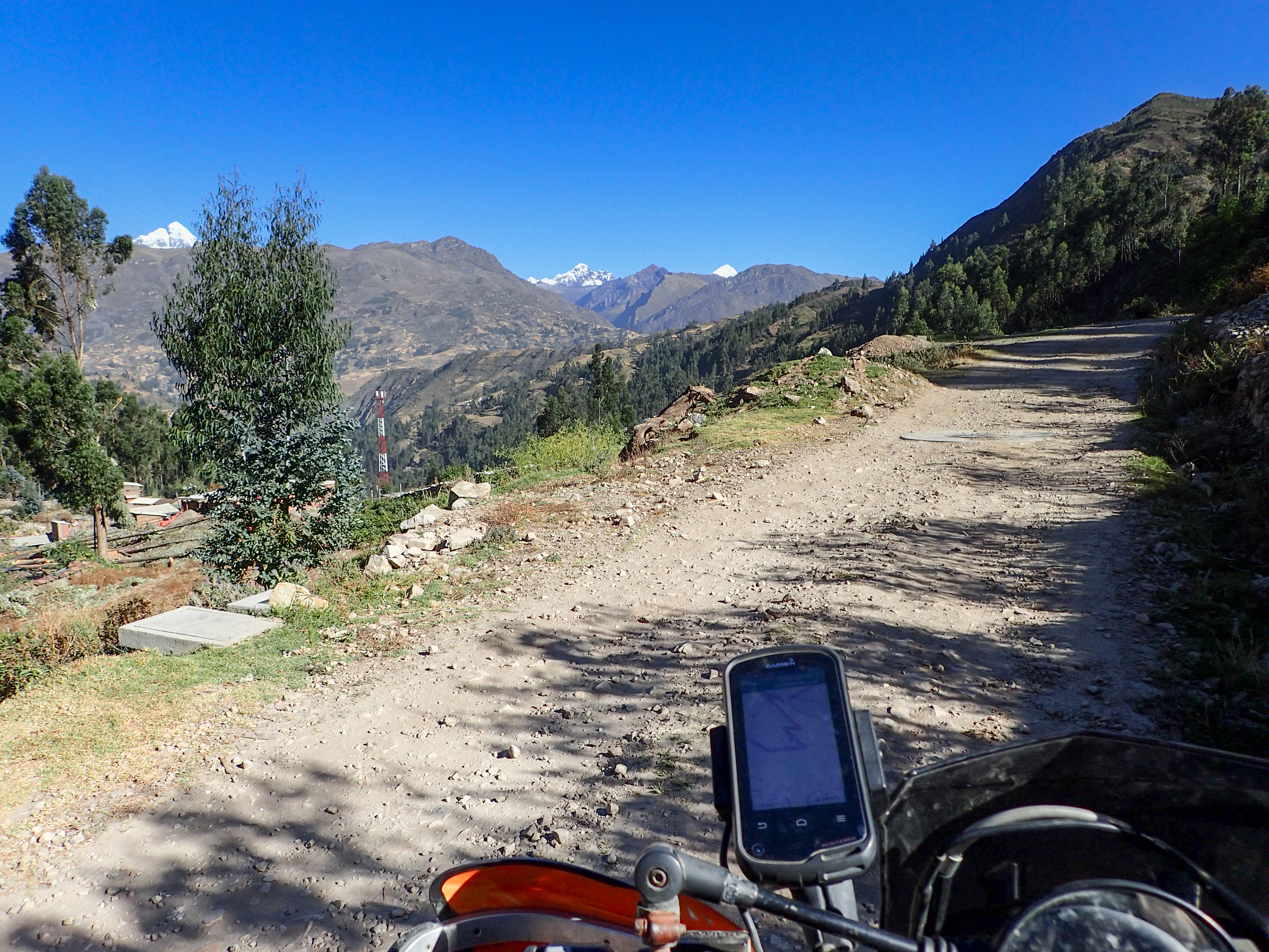
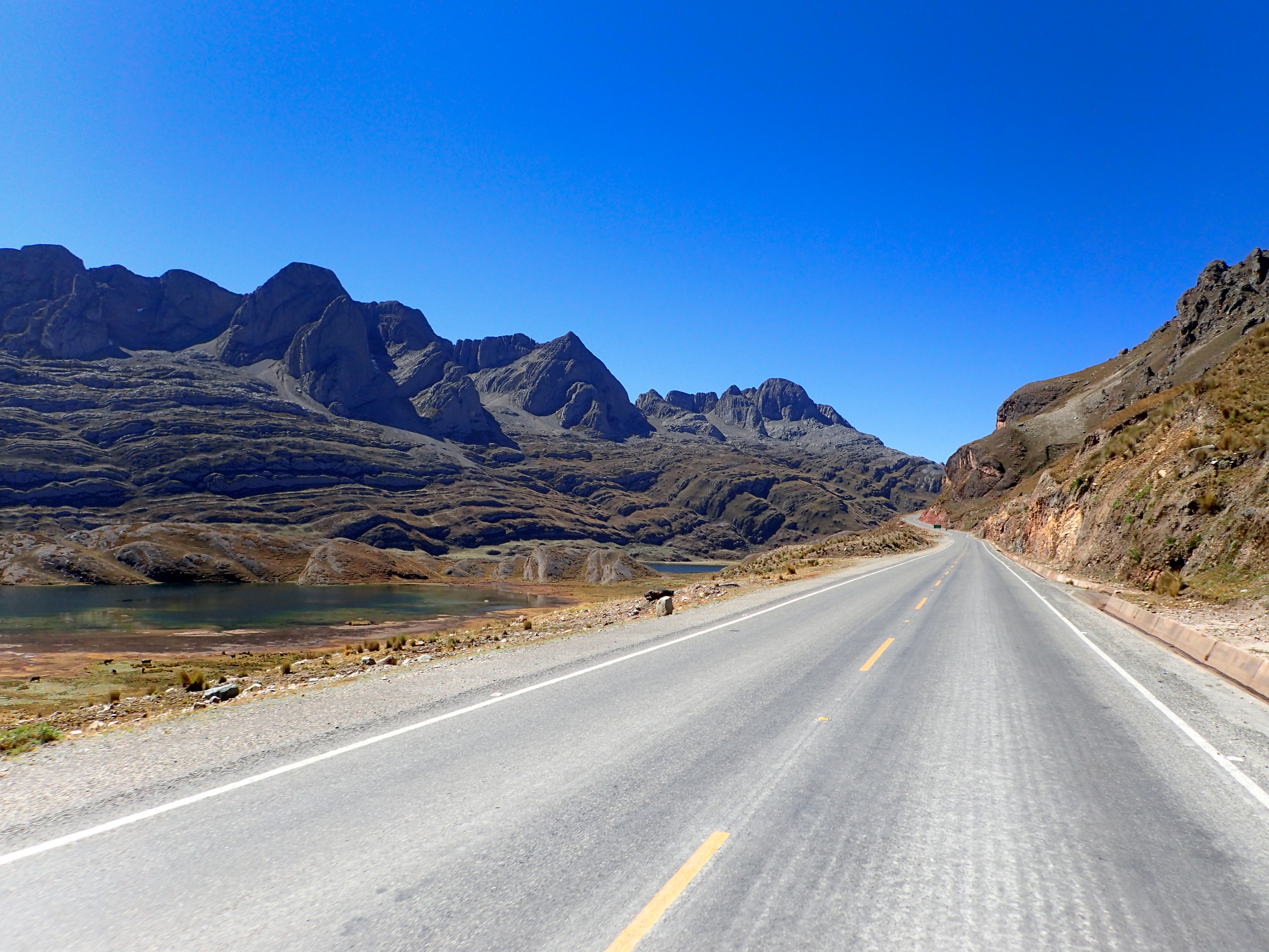
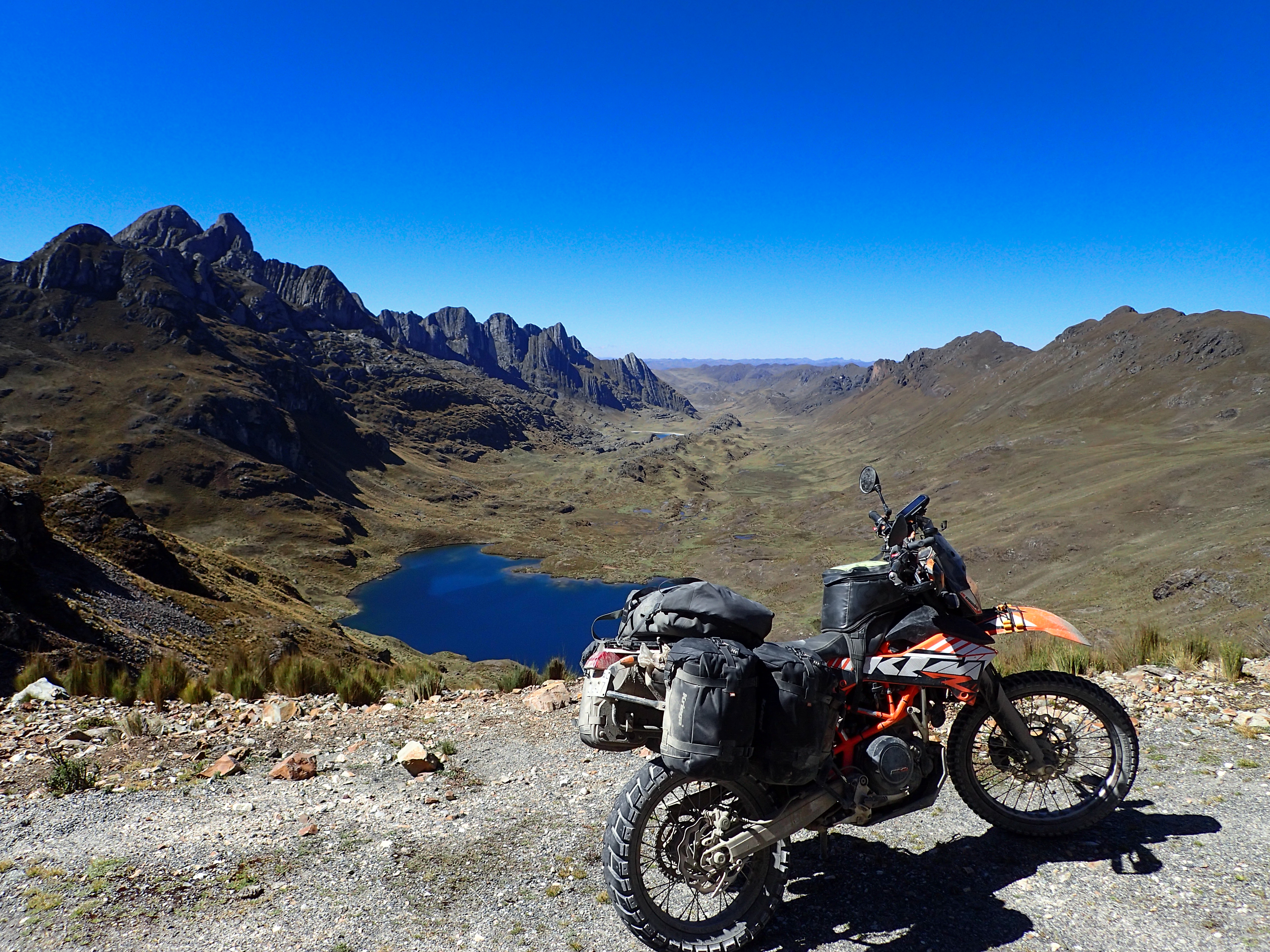
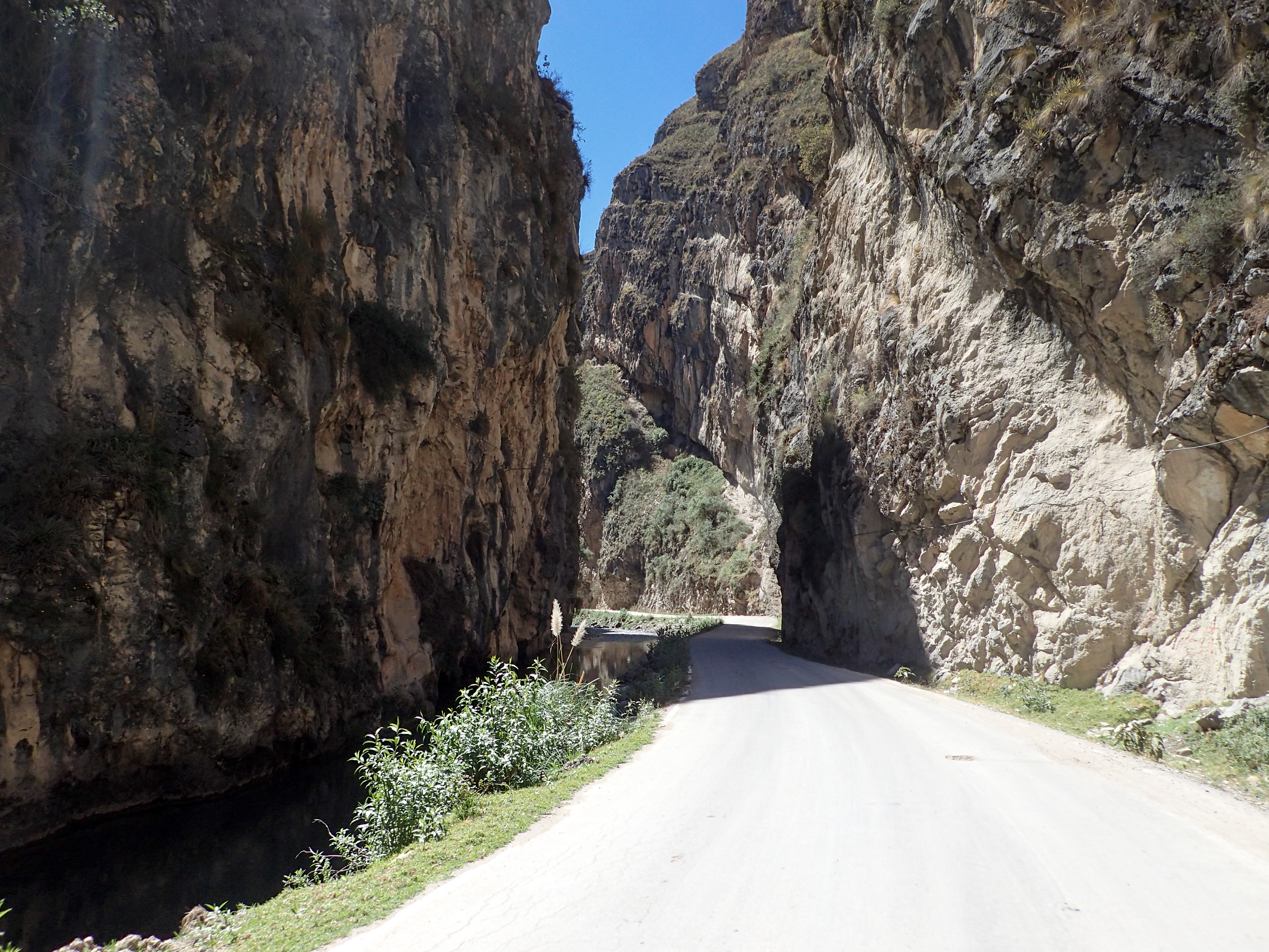
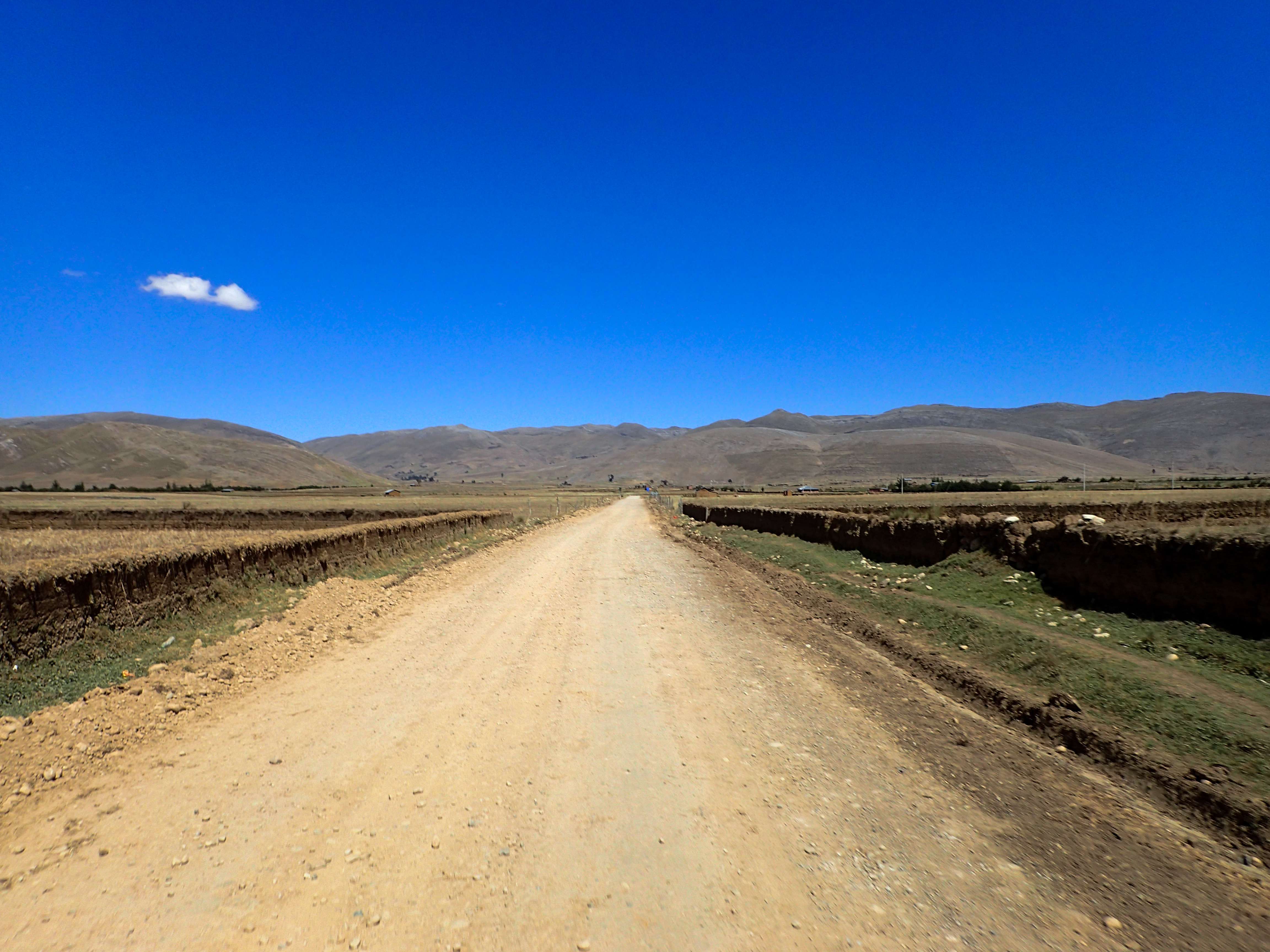
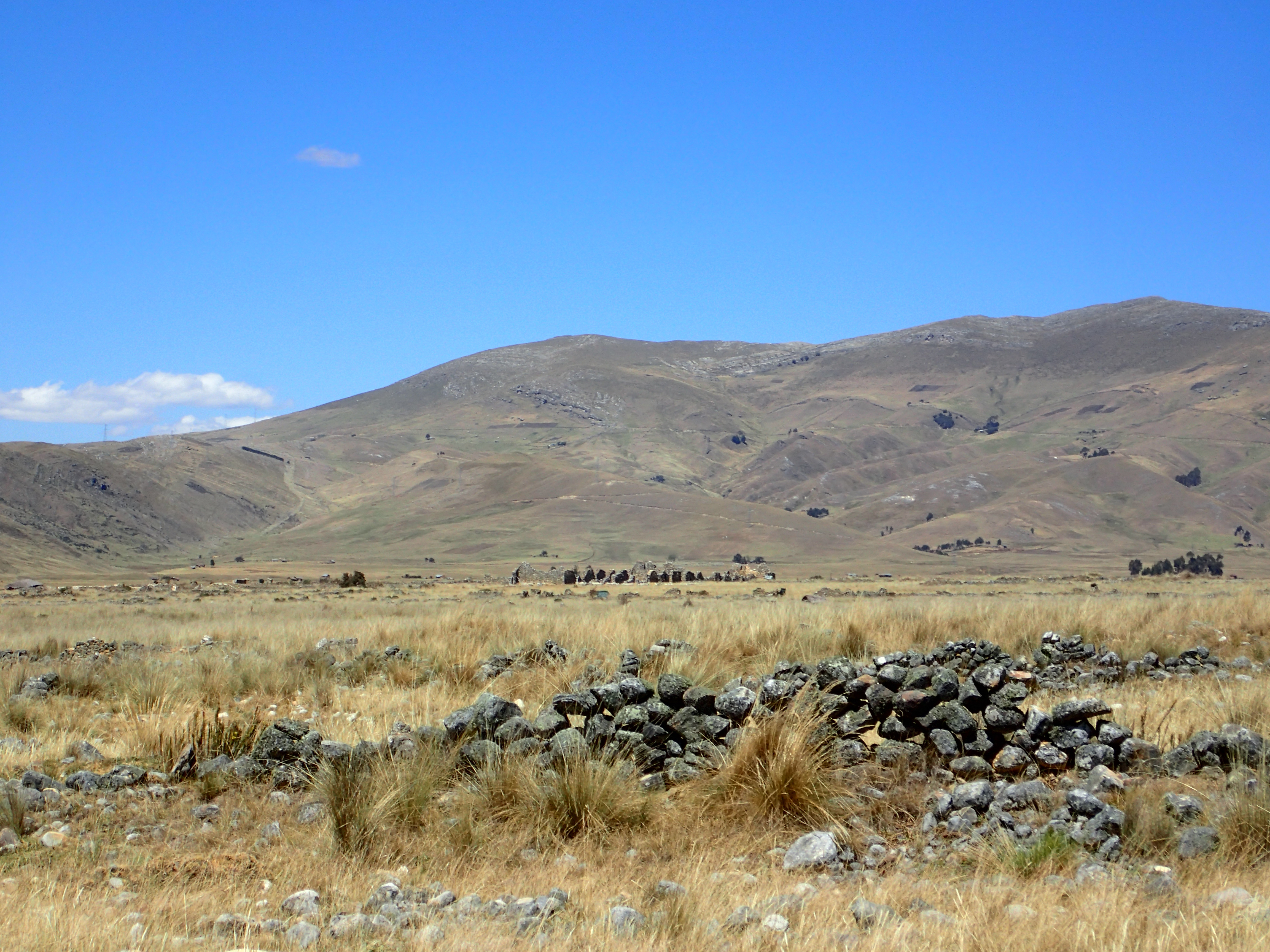
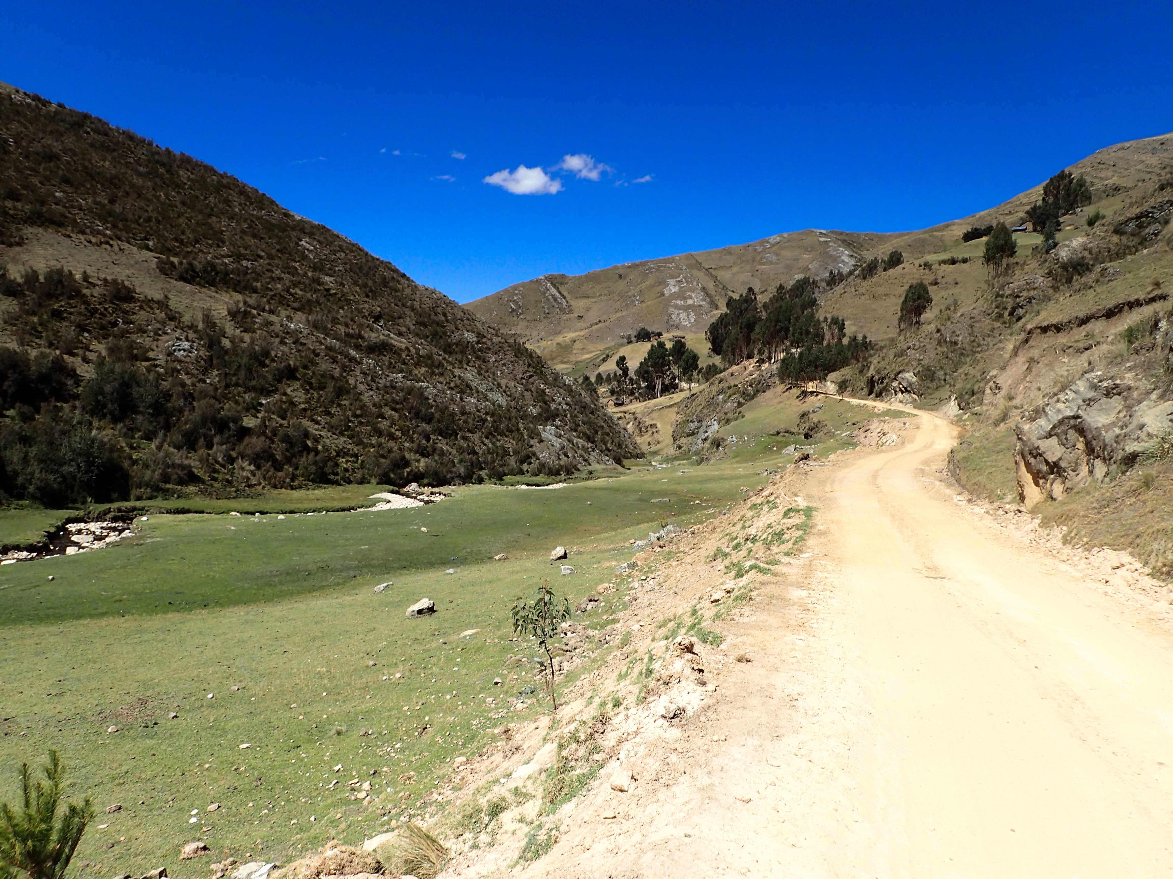
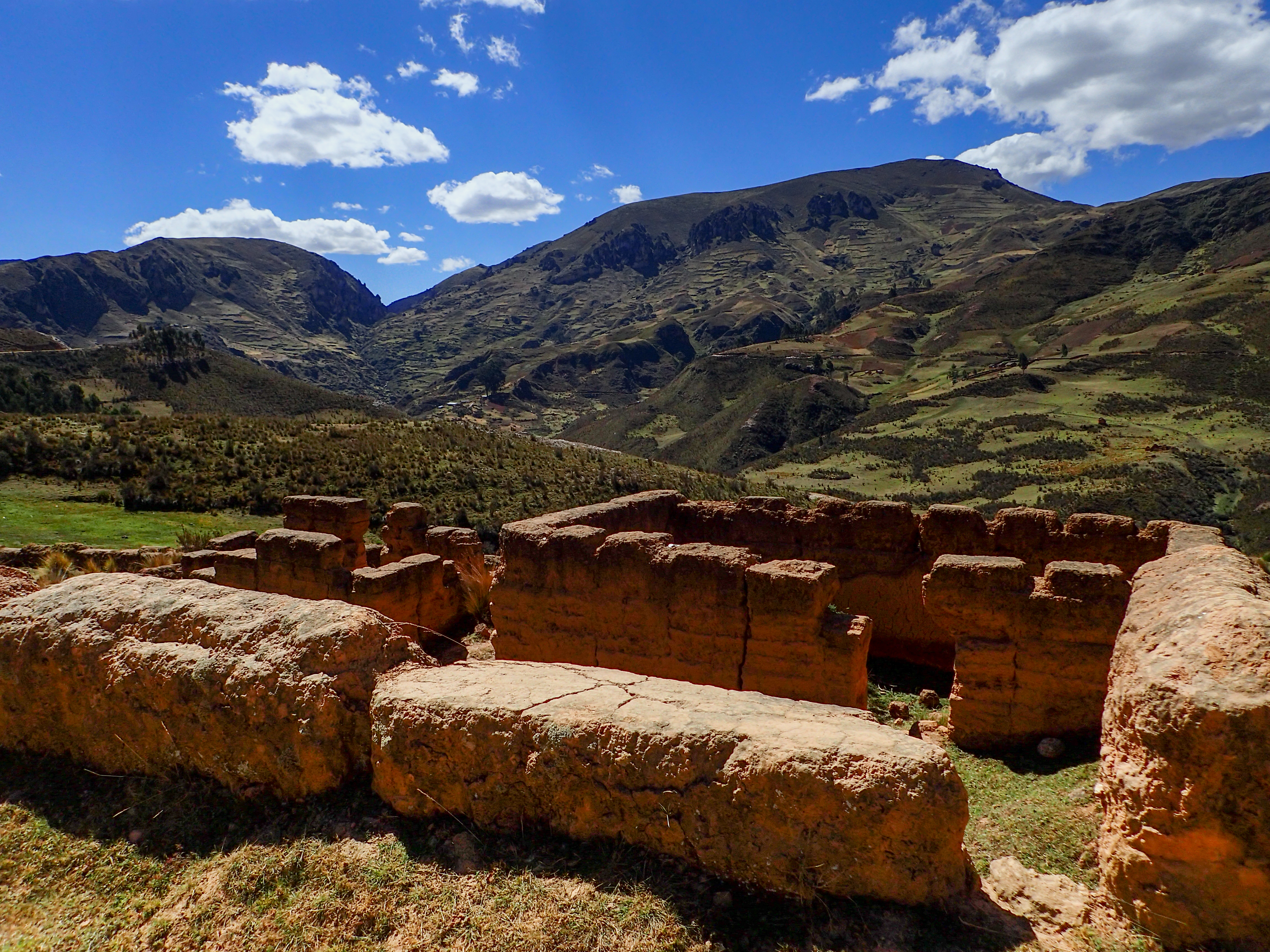
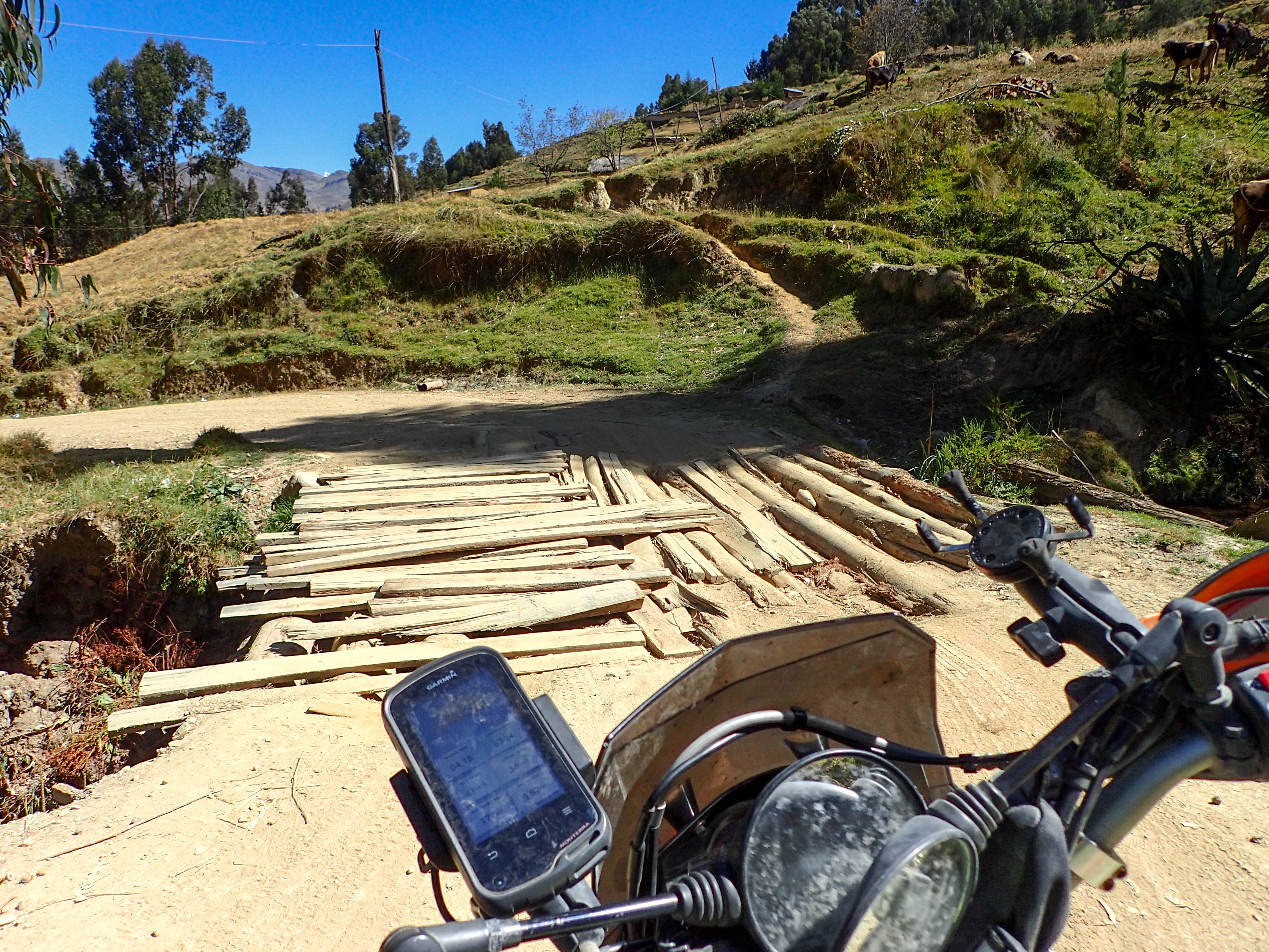
2015-07-21 San Marcos to Banos 690south on Tuesday, July 21, 2015 Add Comment Autoblog Edit Stats Distance: 205 km (127 miles) Max Elevation: 4516 m (14819 feet) Min Elevation: 2890 m (9482 feet) Ascent: 4106 m (13474 feet) Descent: 3561 m (11684 feet) Description The supposed to be completely paved road according to the locals. Turns out only the first 3km are paved…probably as far as they managed because after that there is nothing. The other side of the pass is however paved. Photos Map Download GPX Elevation Chart Newer - 2015-07-22 Banos to Huayllay Older - 2015-07-20 Chacas to San Marcos Share on Facebook Share on Twitter Share on Google Plus RELATED POSTS


0 comments:
Post a Comment