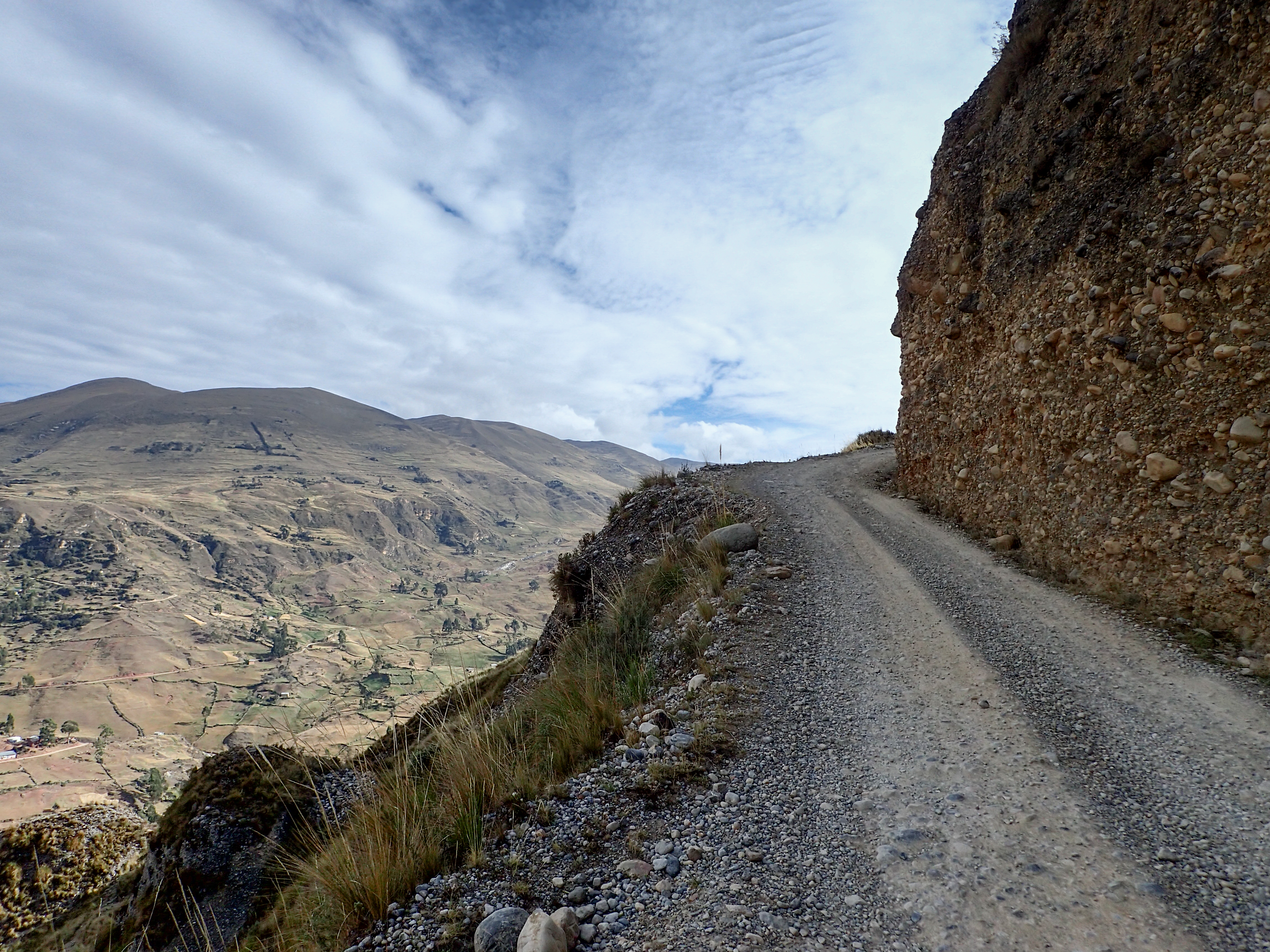
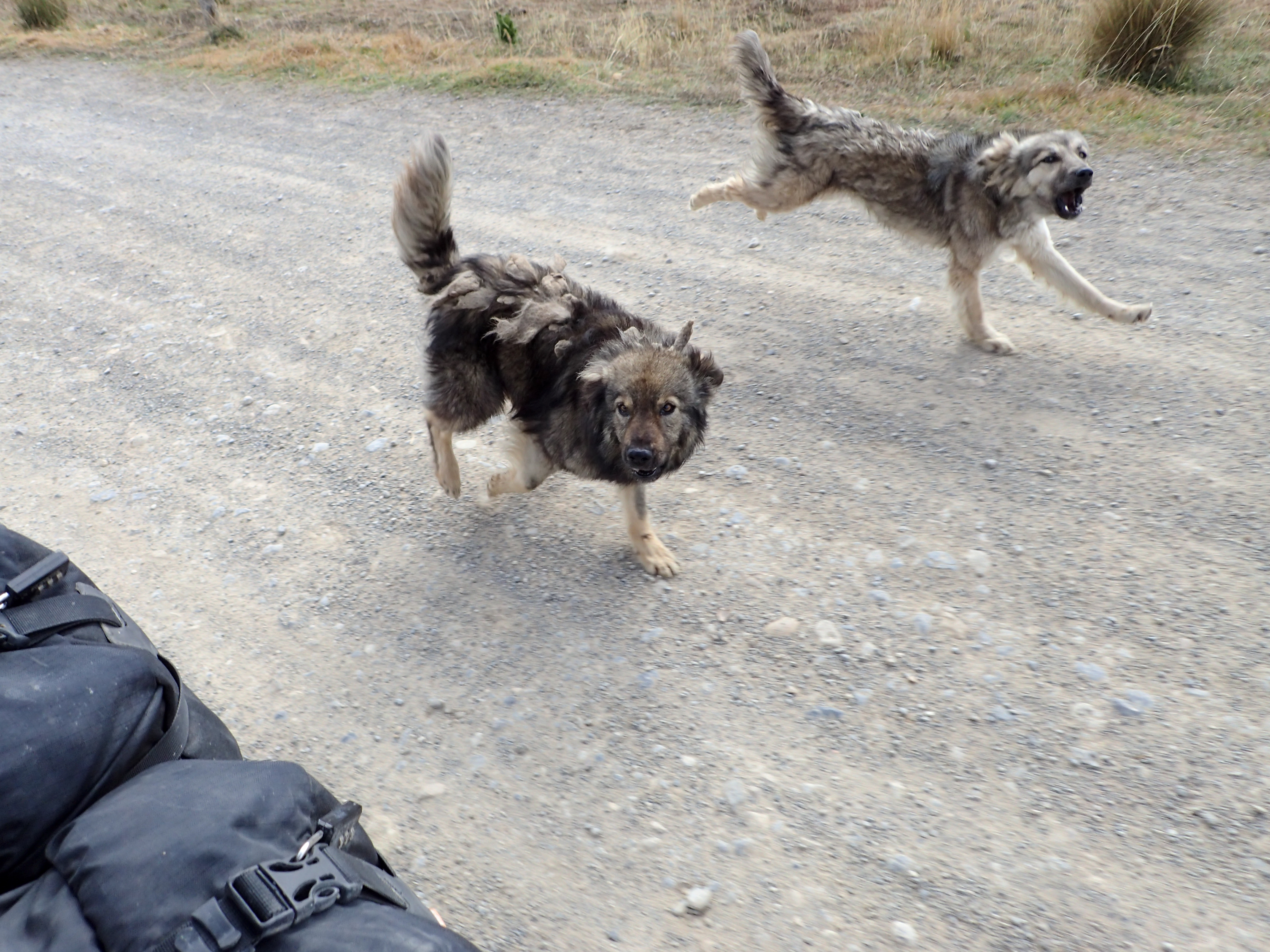
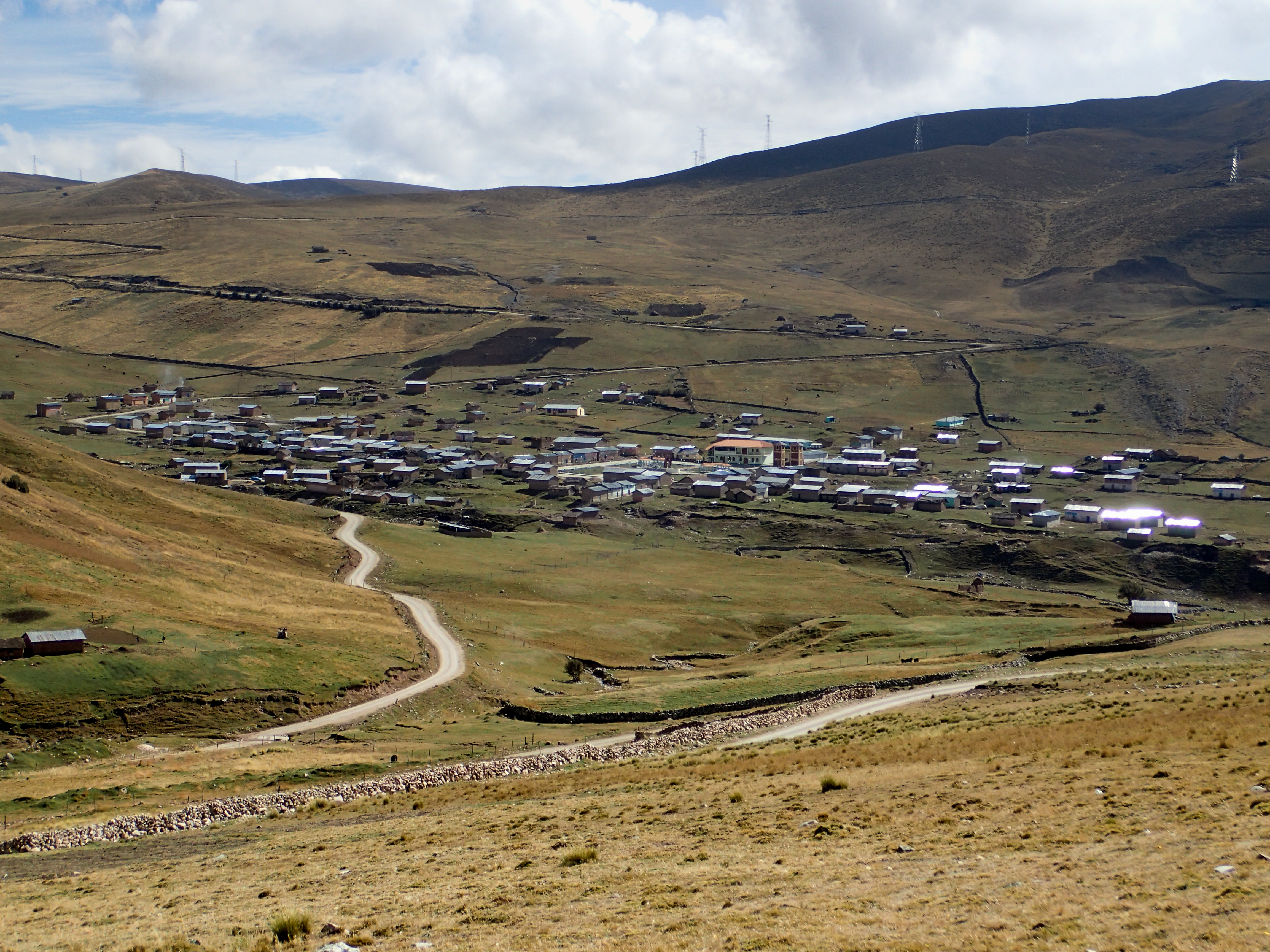
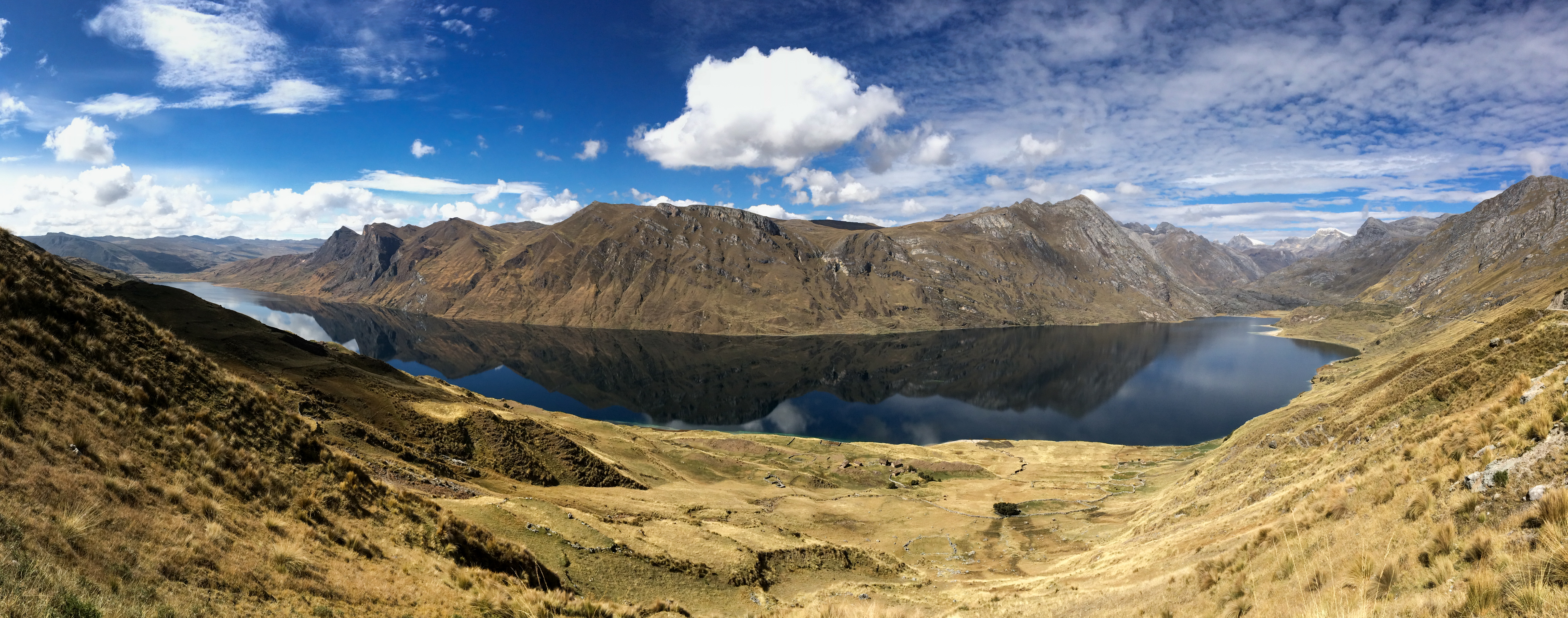
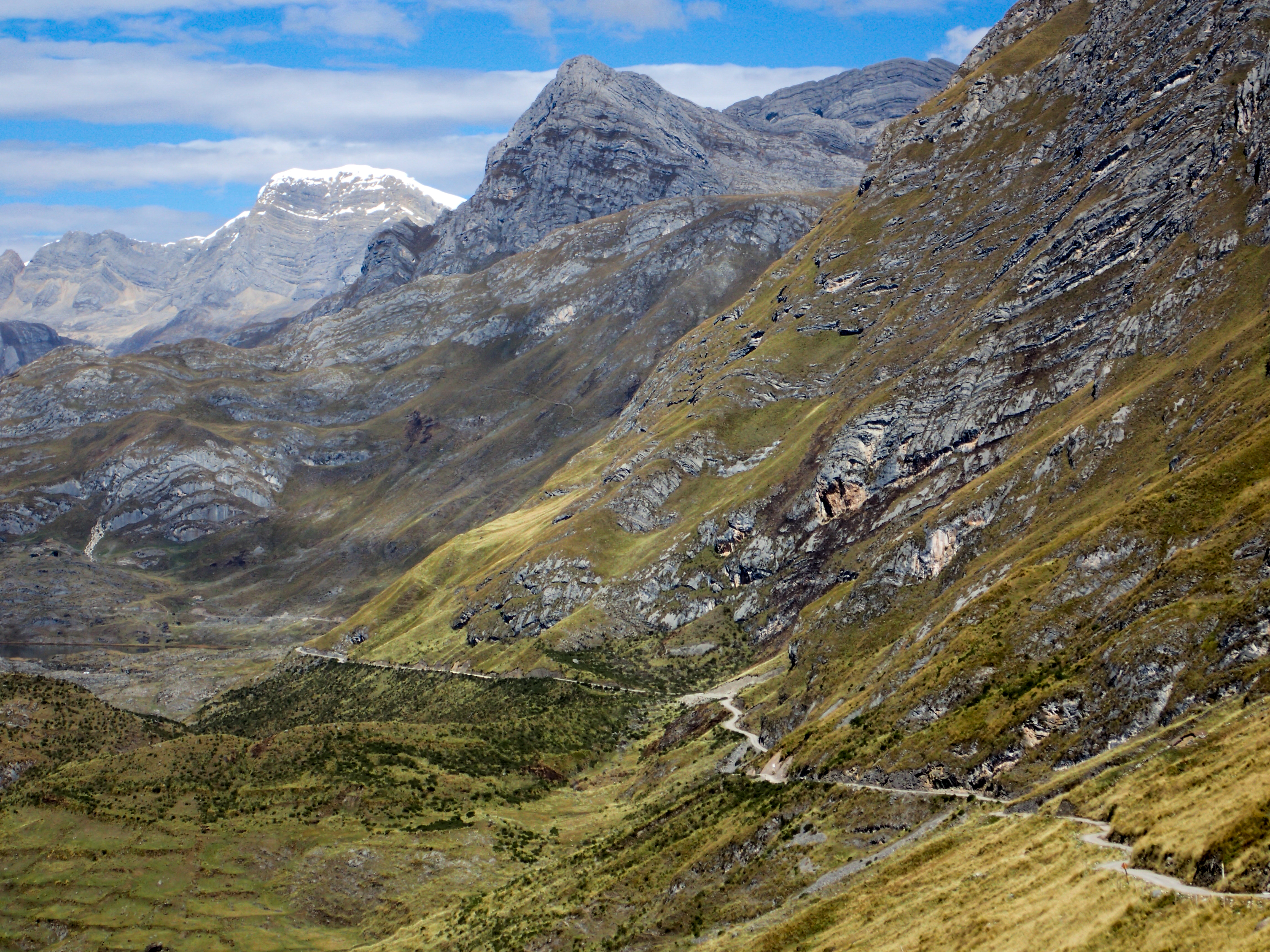
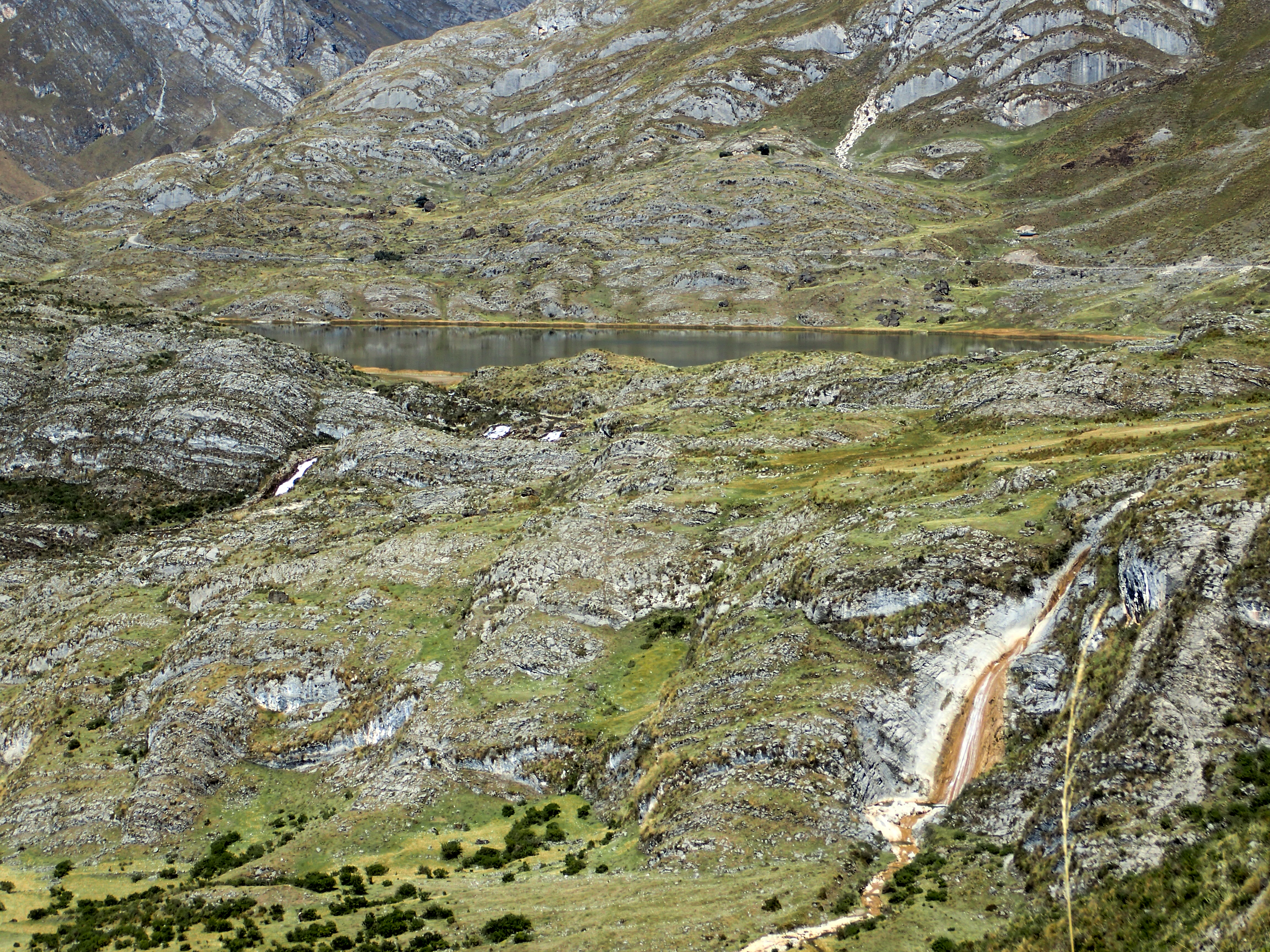
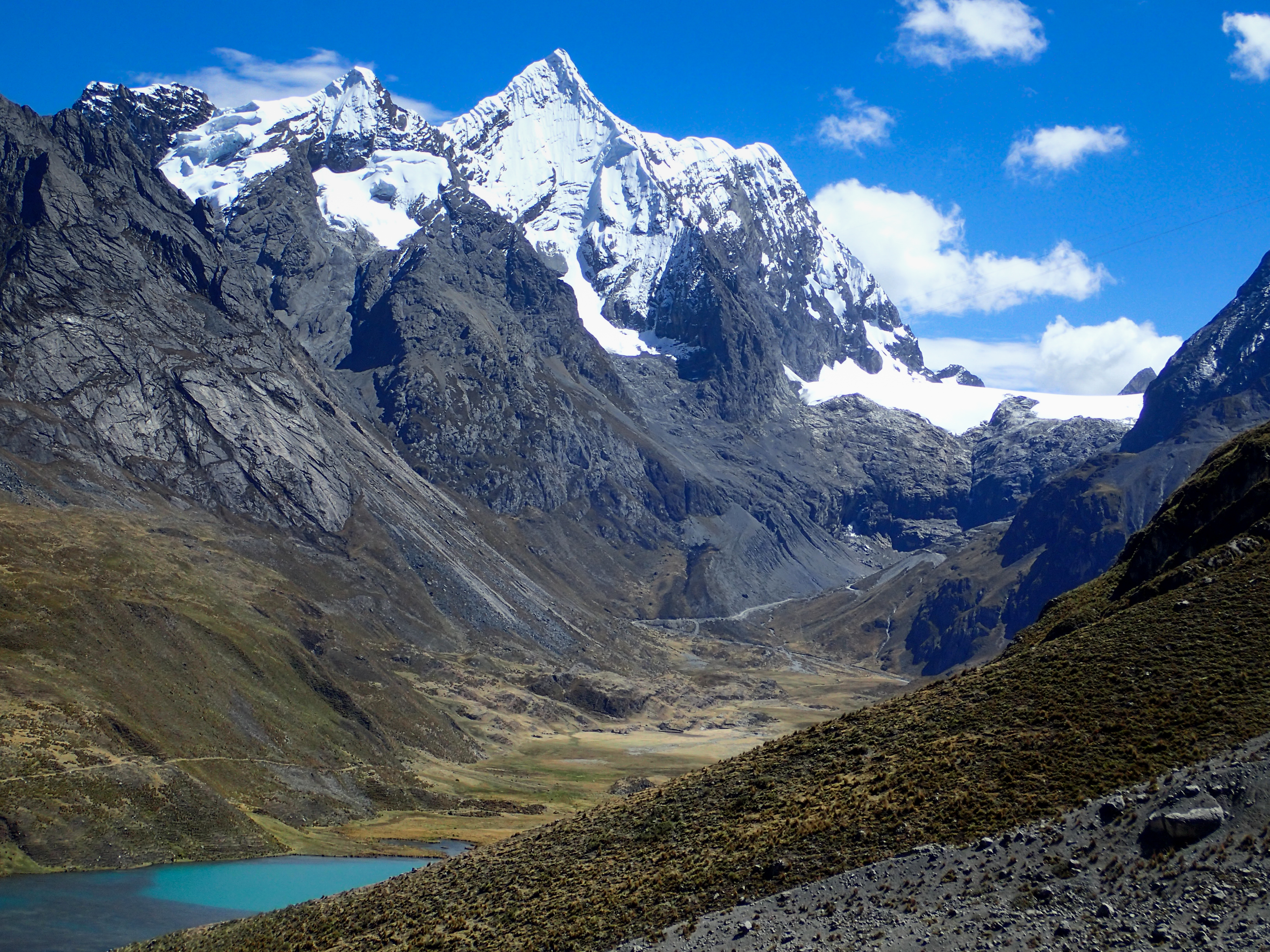
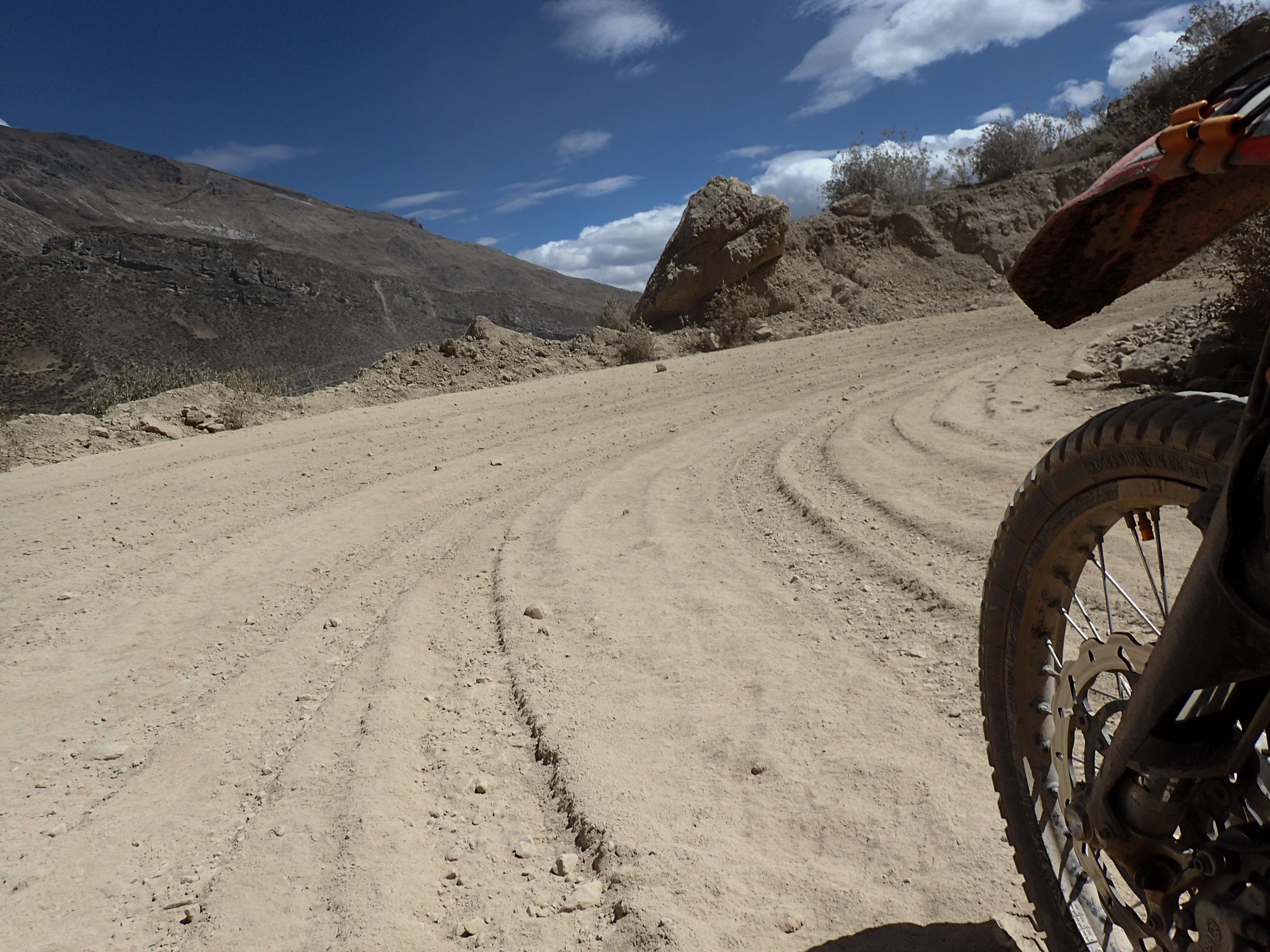
2015-07-22 Banos to Huayllay 690south on Wednesday, July 22, 2015 Add Comment Autoblog Edit Stats Distance: 280 km (174 miles) Max Elevation: 4744 m (15566 feet) Min Elevation: 3309 m (10856 feet) Ascent: 4947 m (16232 feet) Descent: 3945 m (12944 feet) Description Long dirty day through a mountain pass that doesn’t even make open street maps. The riding wasn’t too hard by 690south standards and pass was really beautiful up until the mine. Photos Map Download GPX Elevation Chart Newer - 2015-07-23 Huayllay to Lima Older - 2015-07-21 San Marcos to Banos Share on Facebook Share on Twitter Share on Google Plus RELATED POSTS


0 comments:
Post a Comment