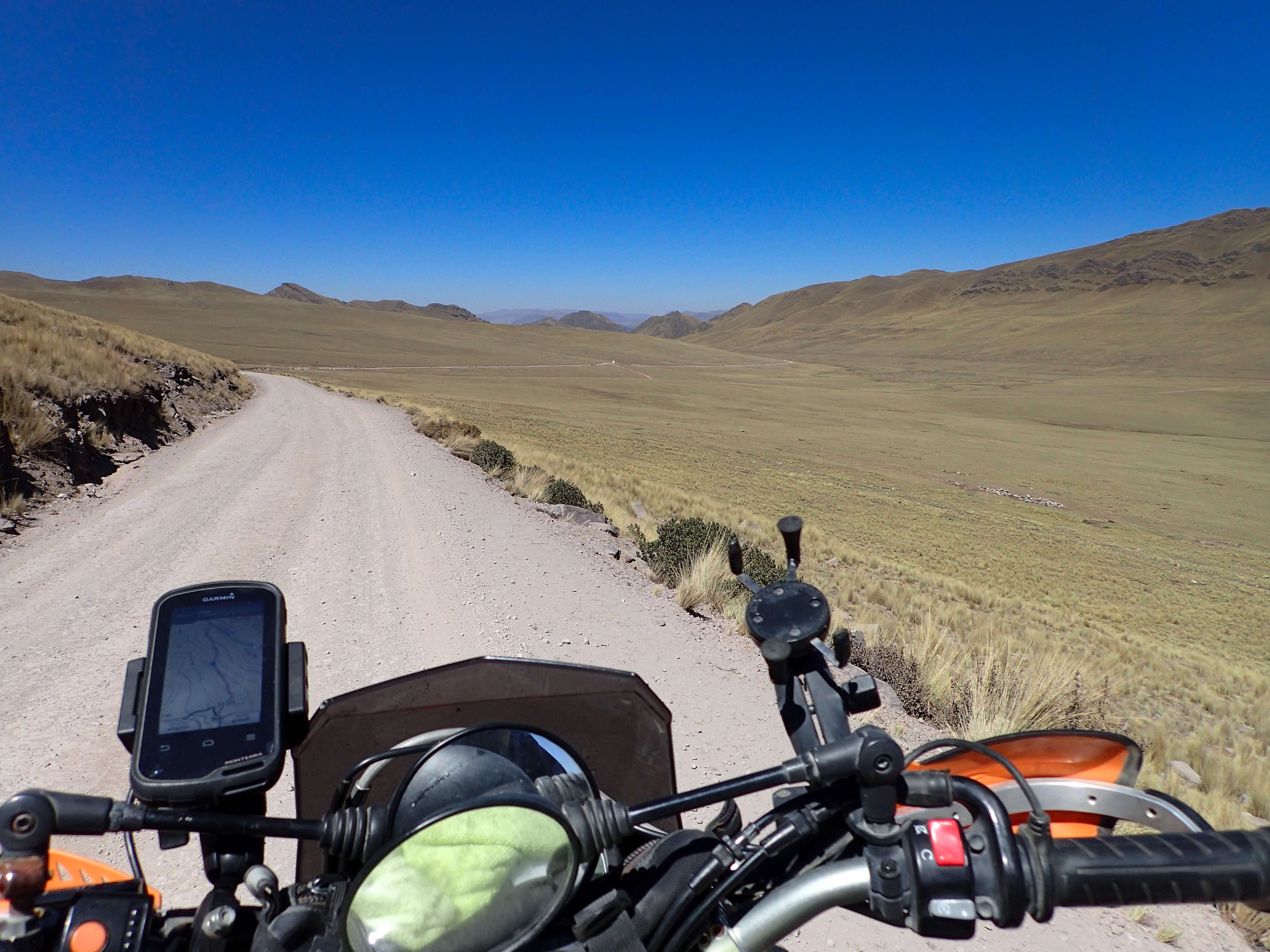
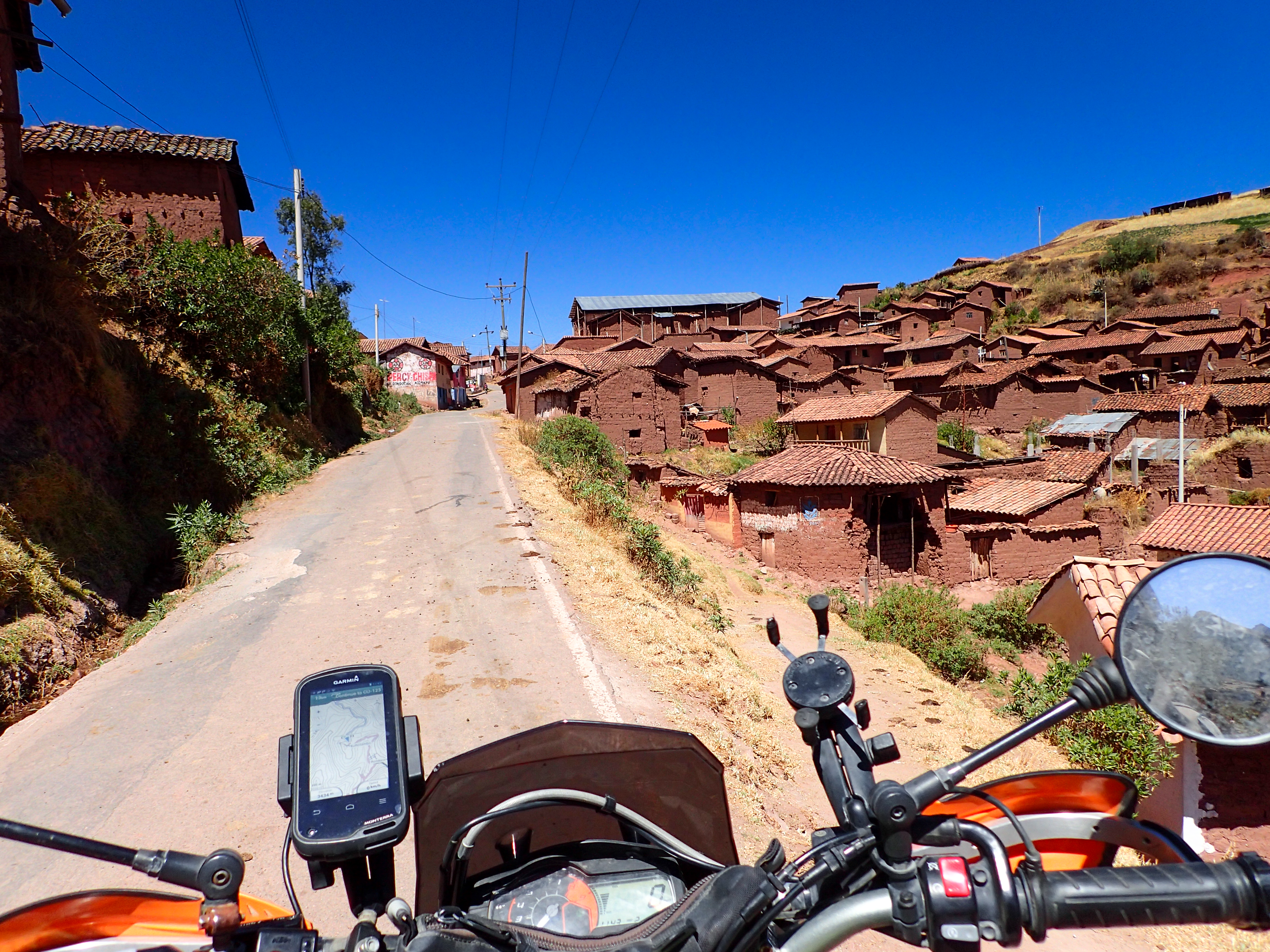
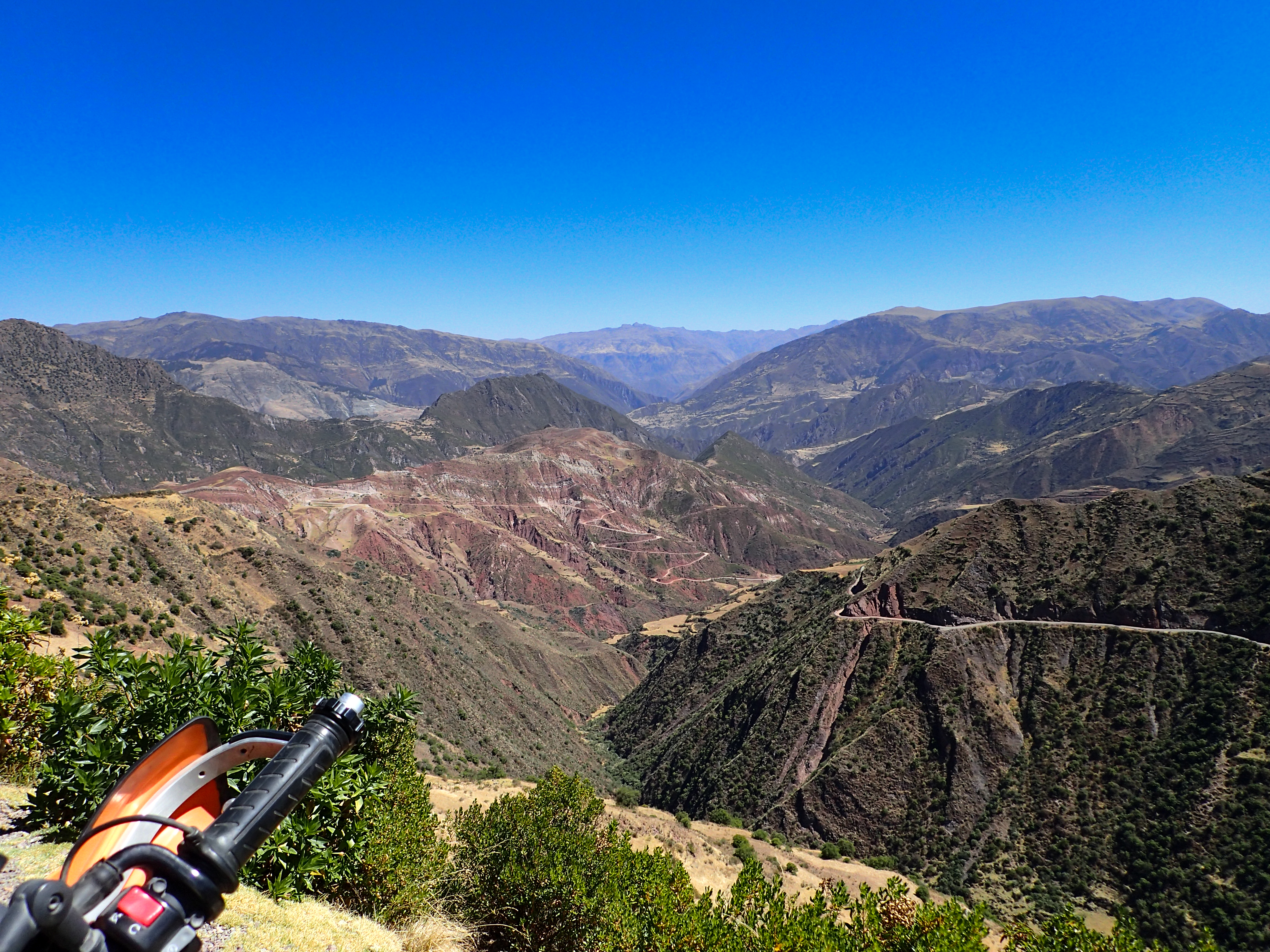
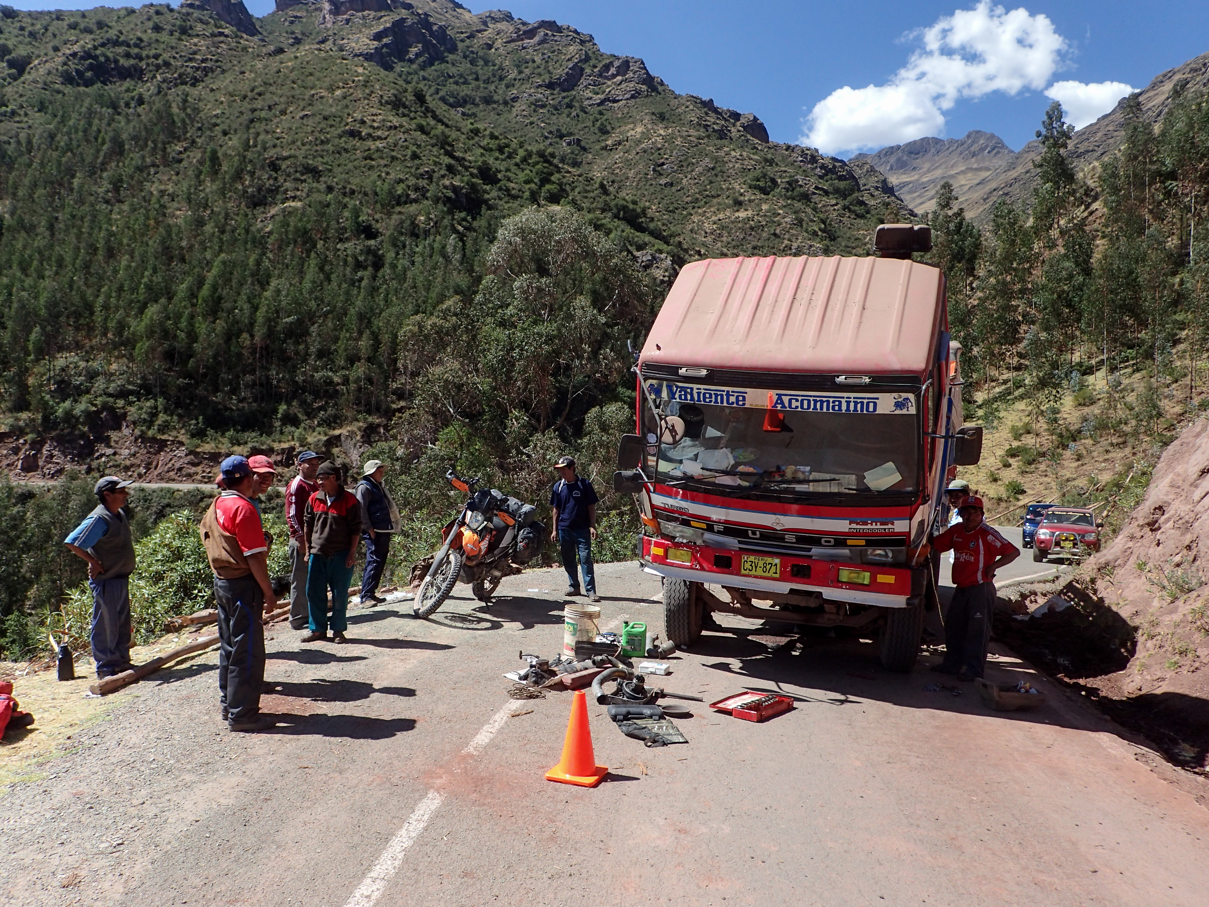
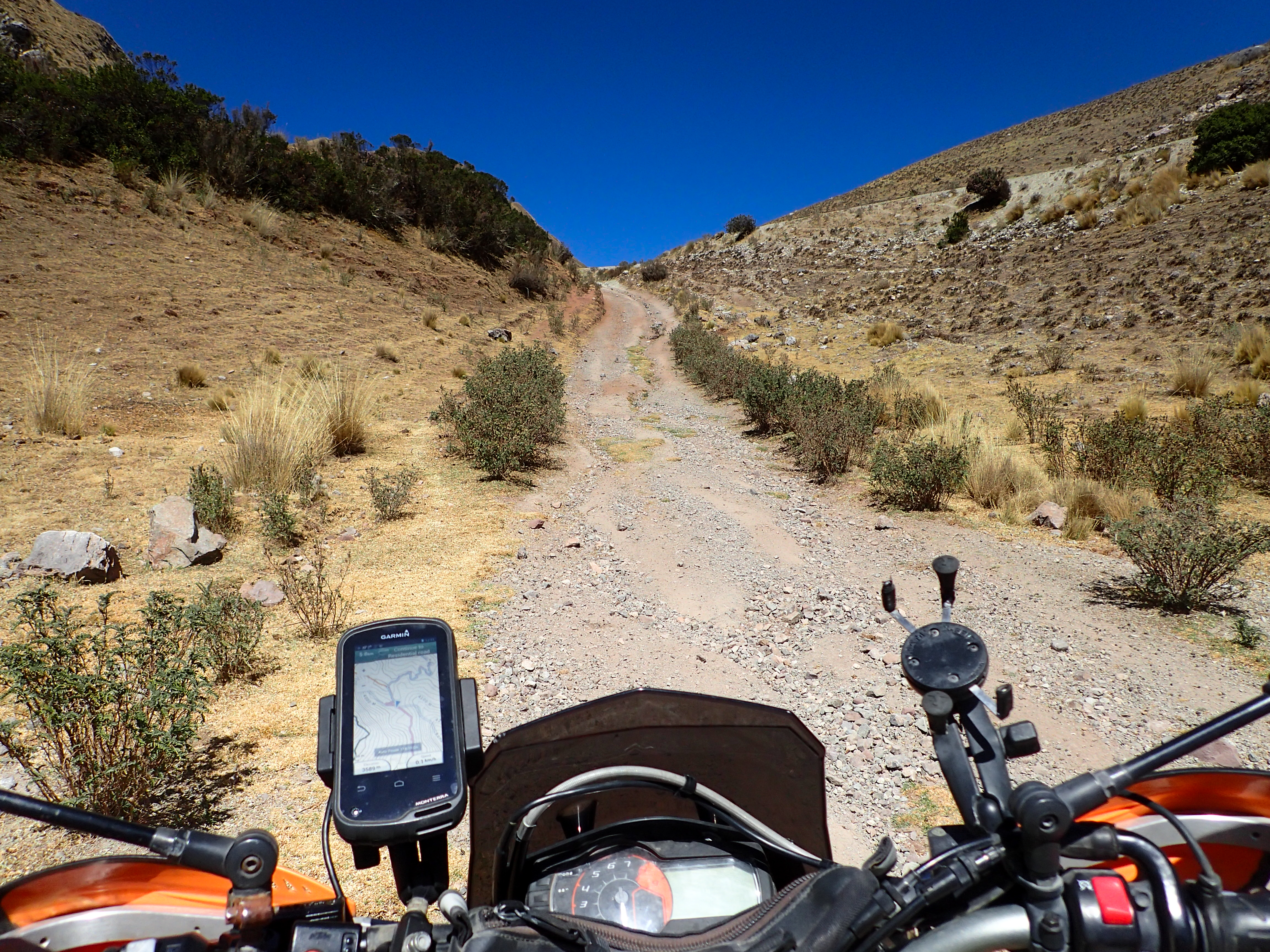
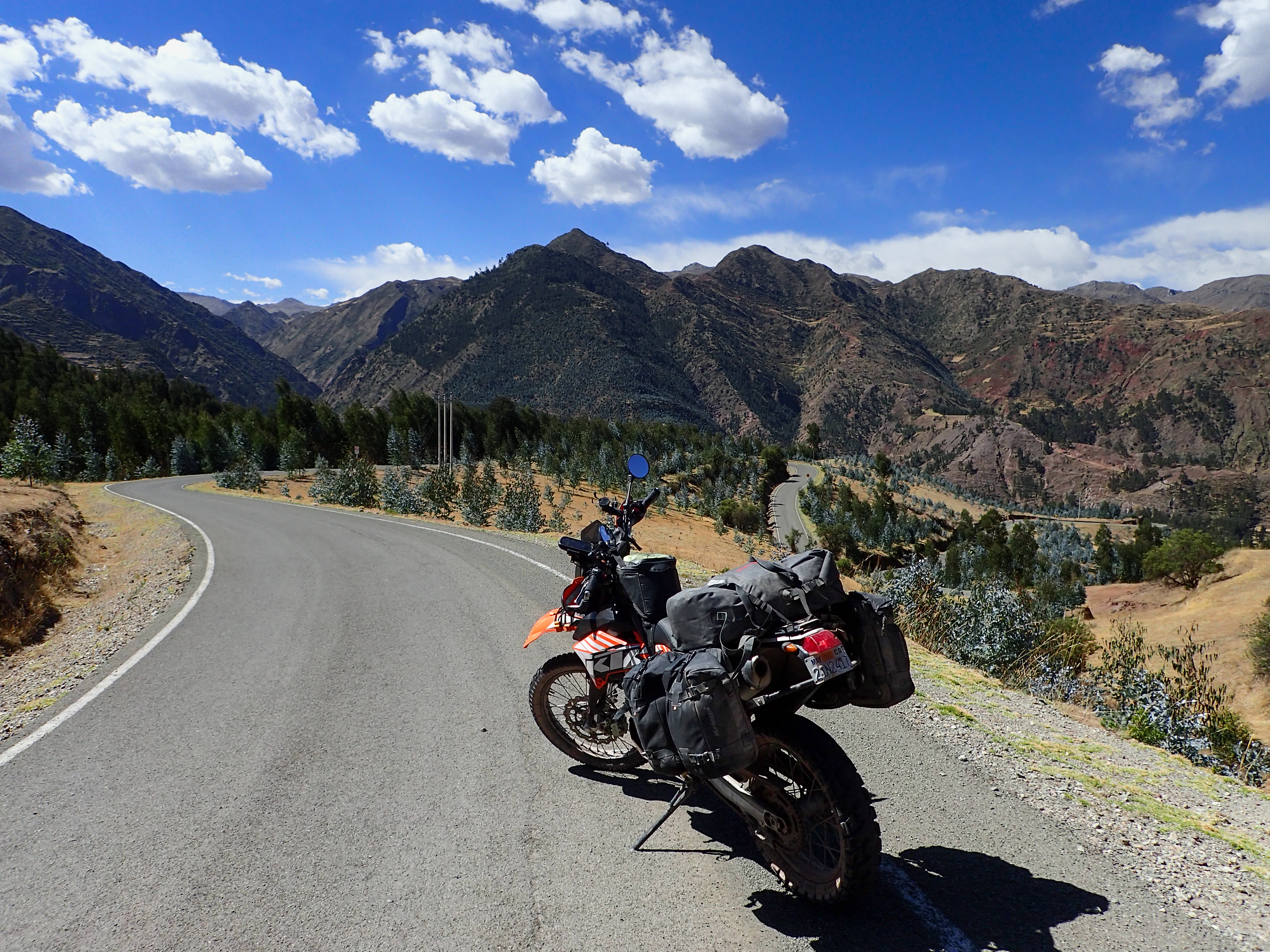
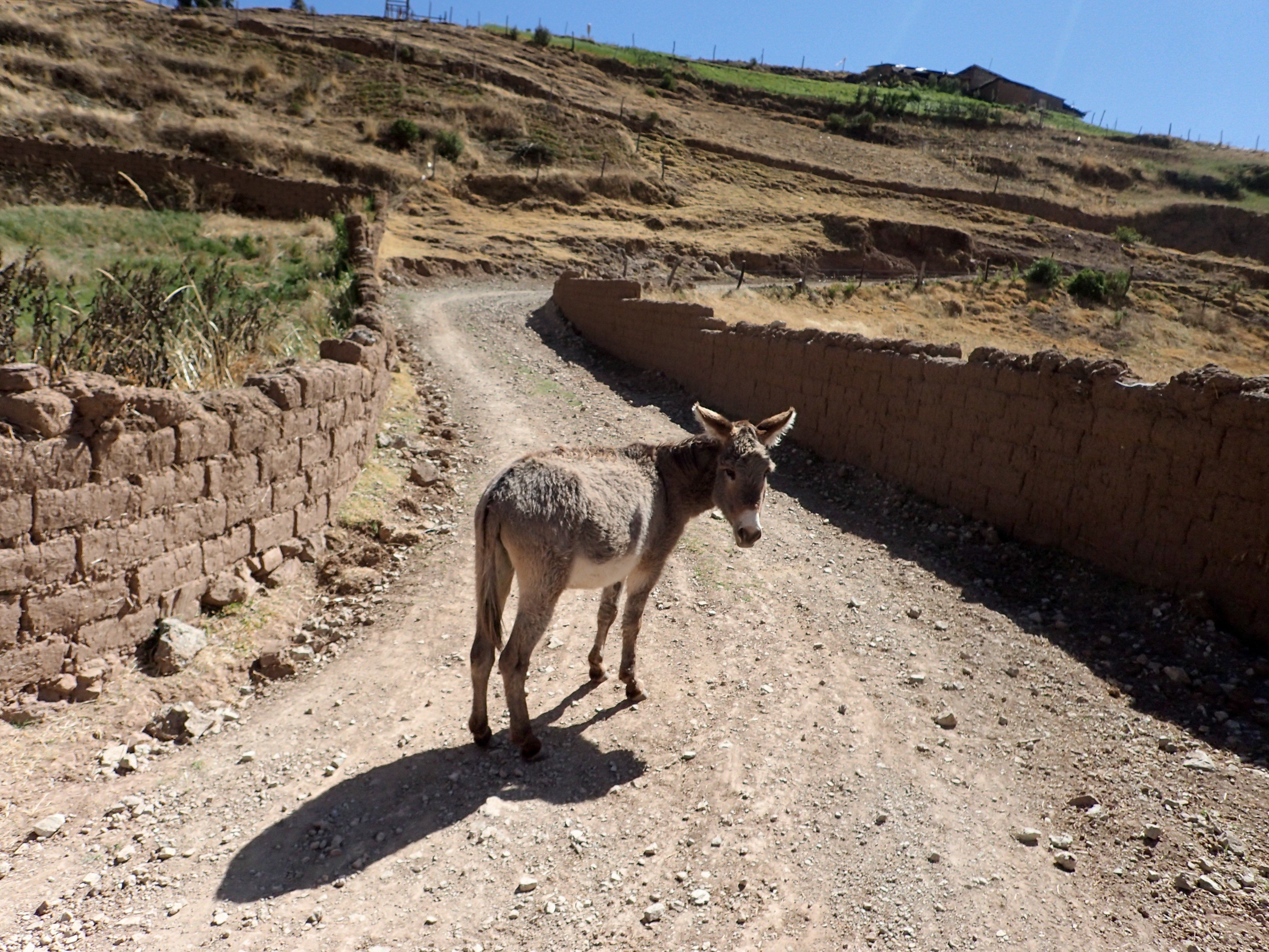
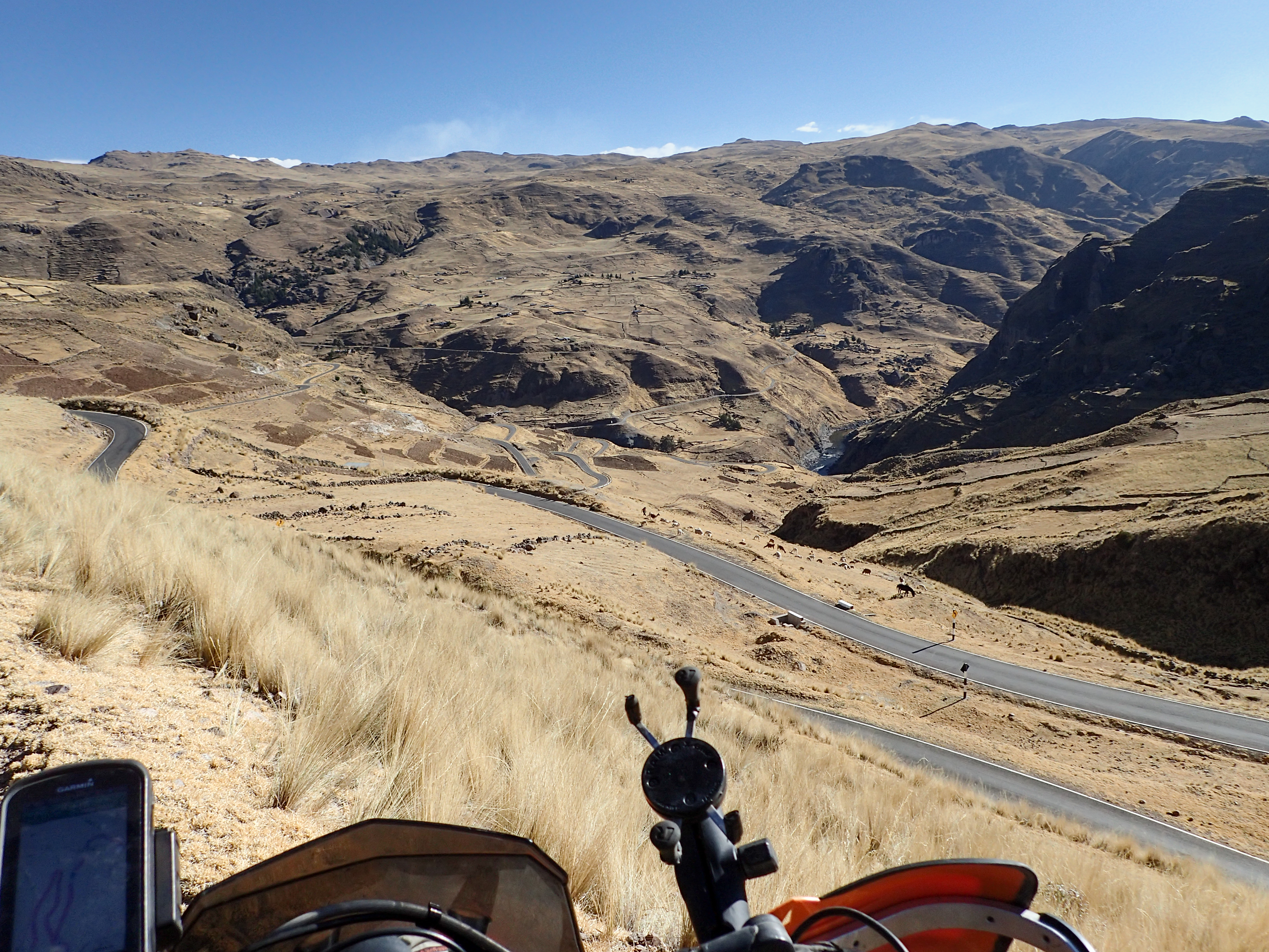
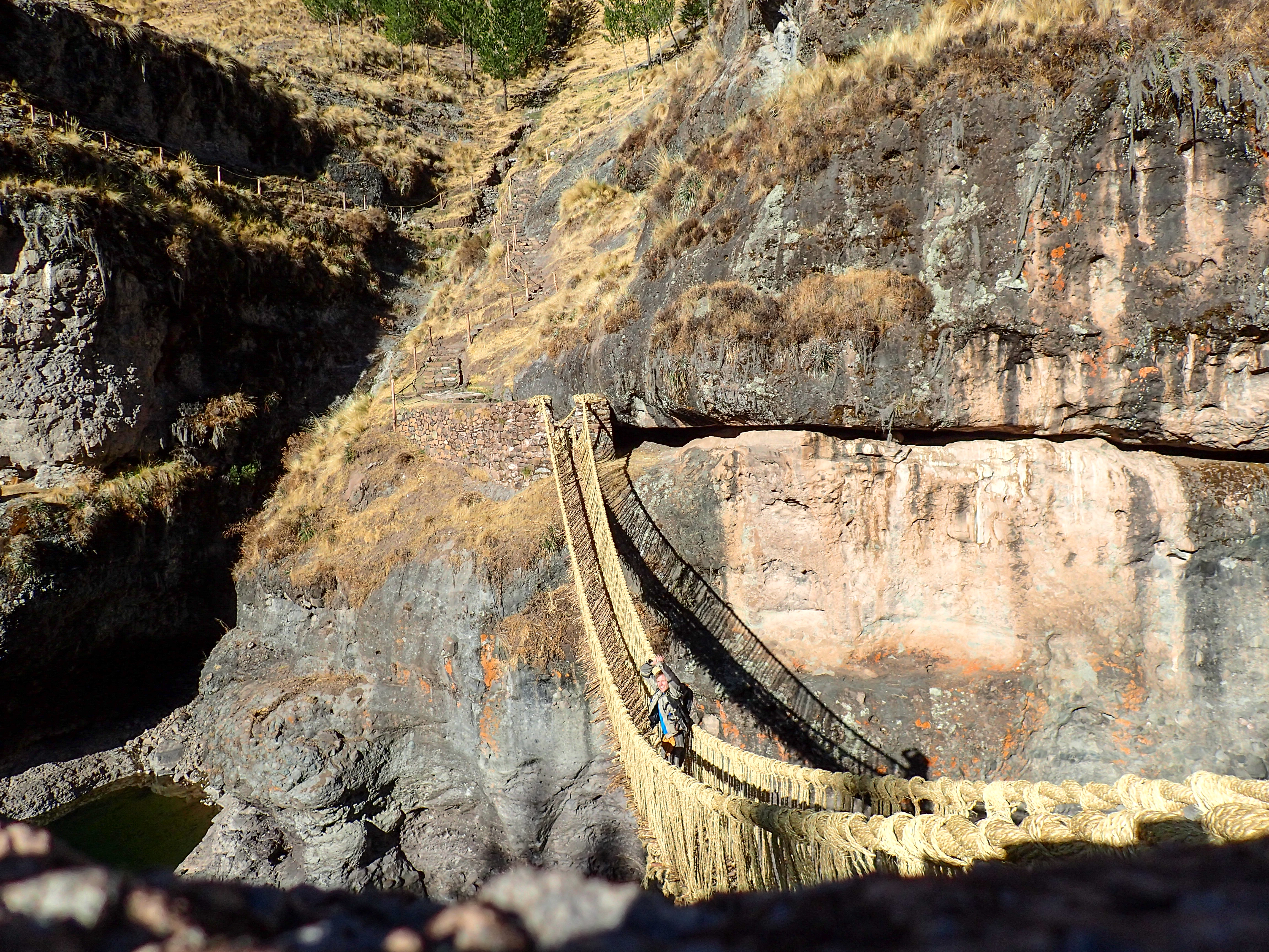
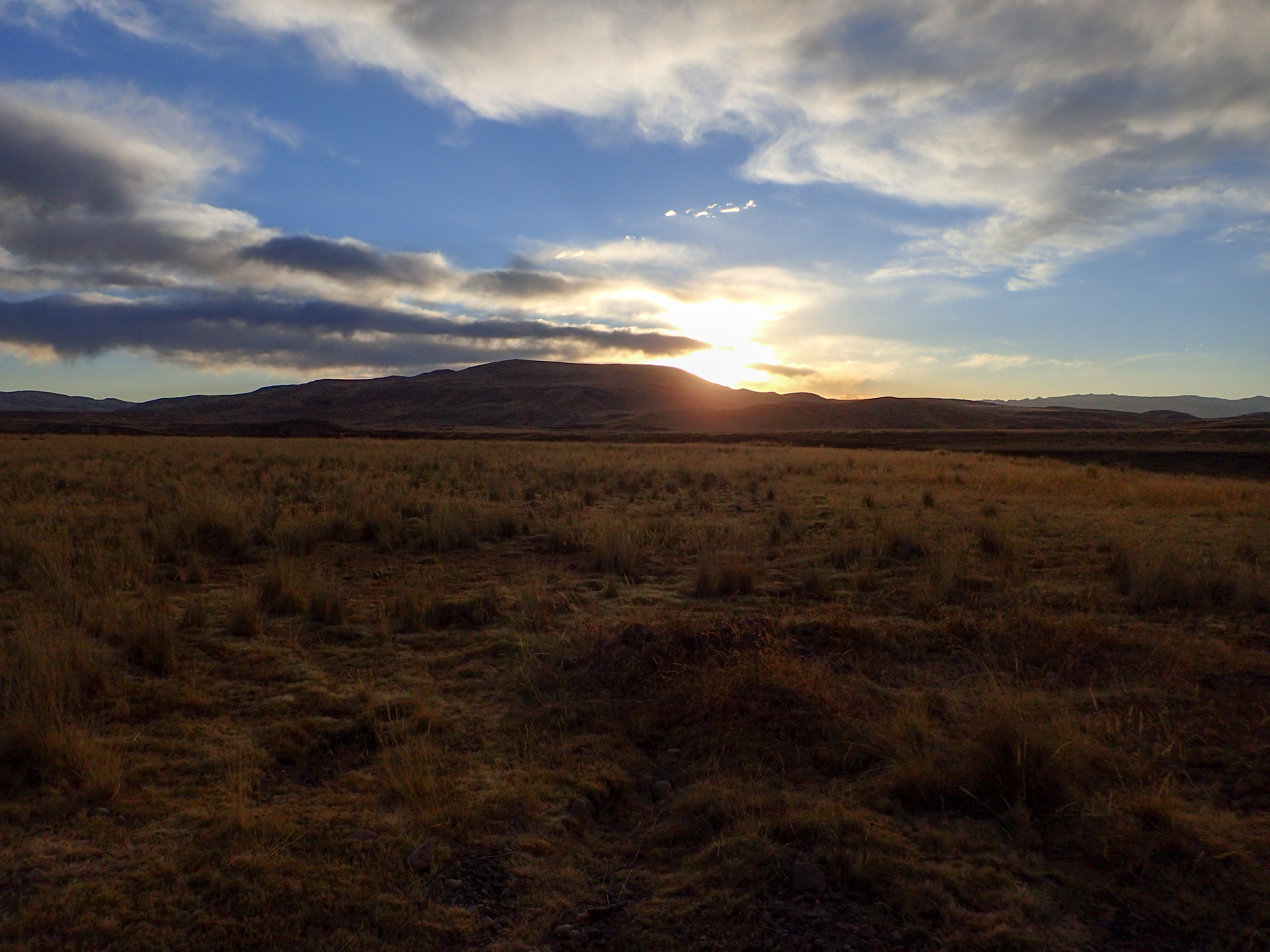
Riding out of Cusco towards Arequipa on dirt roads with no agenda or route planned. Decided mid ride to see if I could find the rope bridge I heard rumors about from a German bicyclist. It was a typical riding day. Minor fixes to my bike on the side of the road, animals, dirt roads, beautiful views, chatting with locals, etc.

0 comments:
Post a Comment