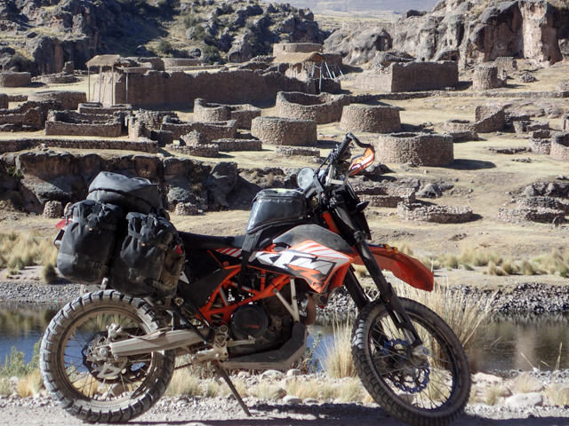
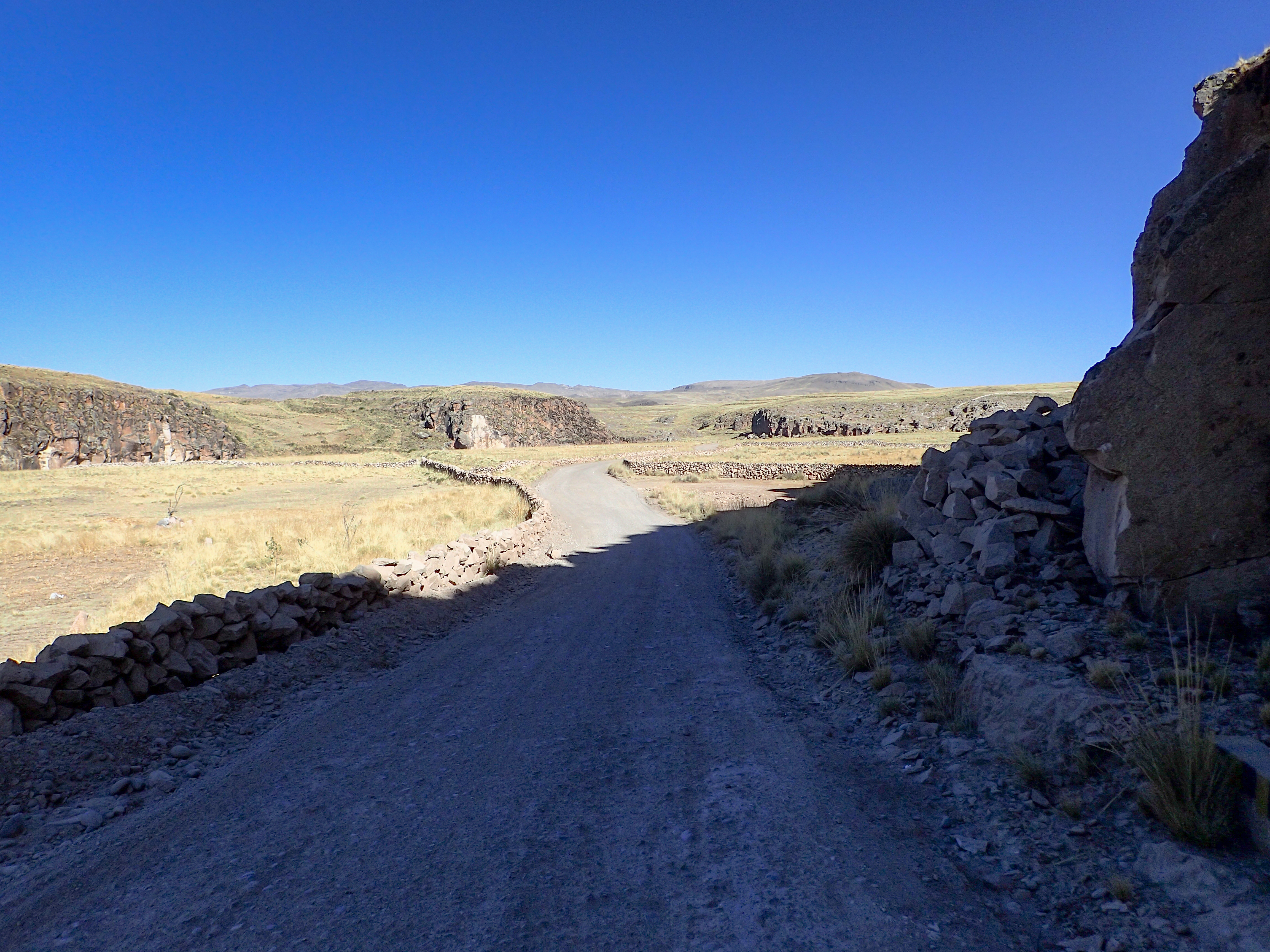
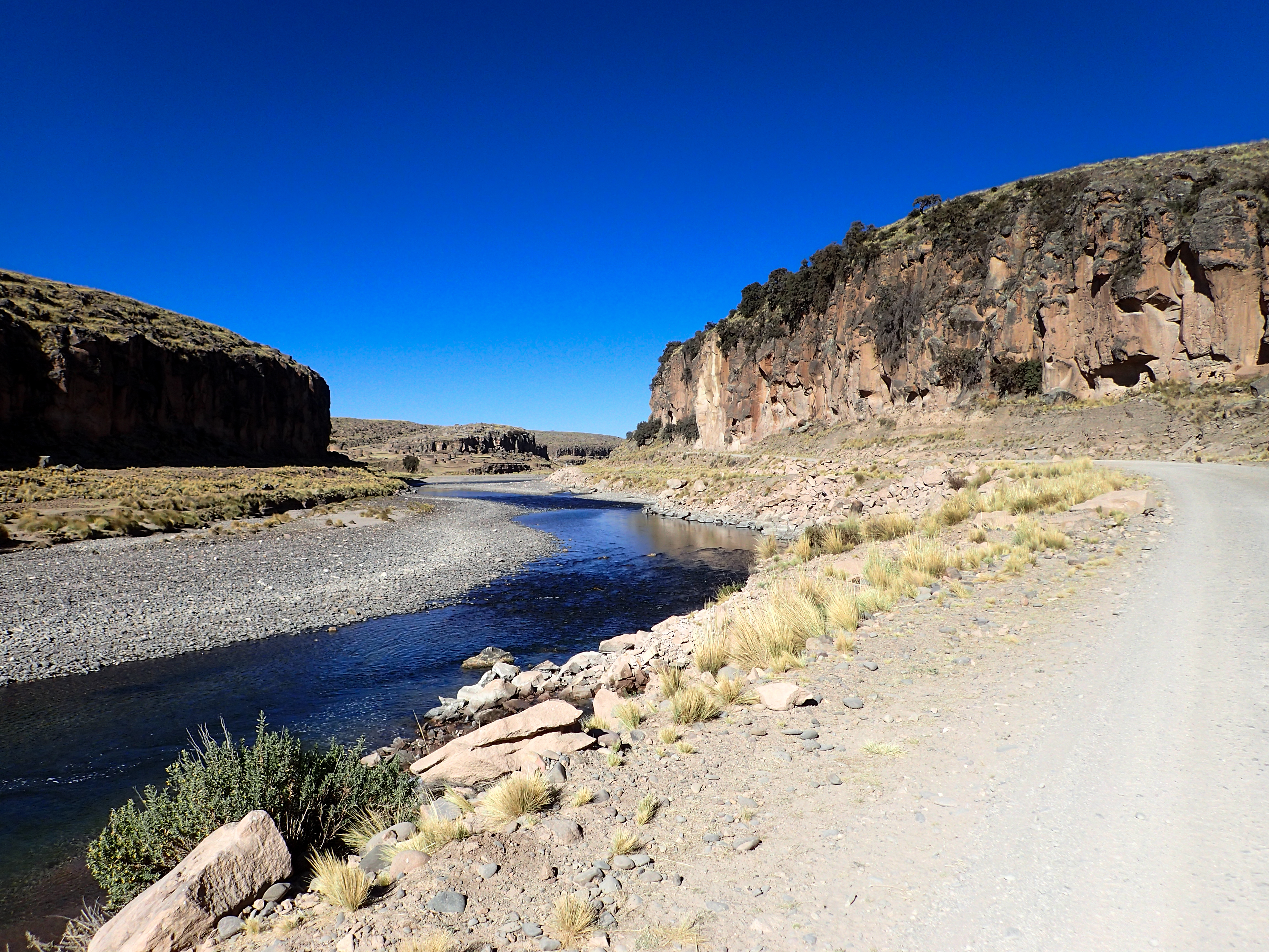
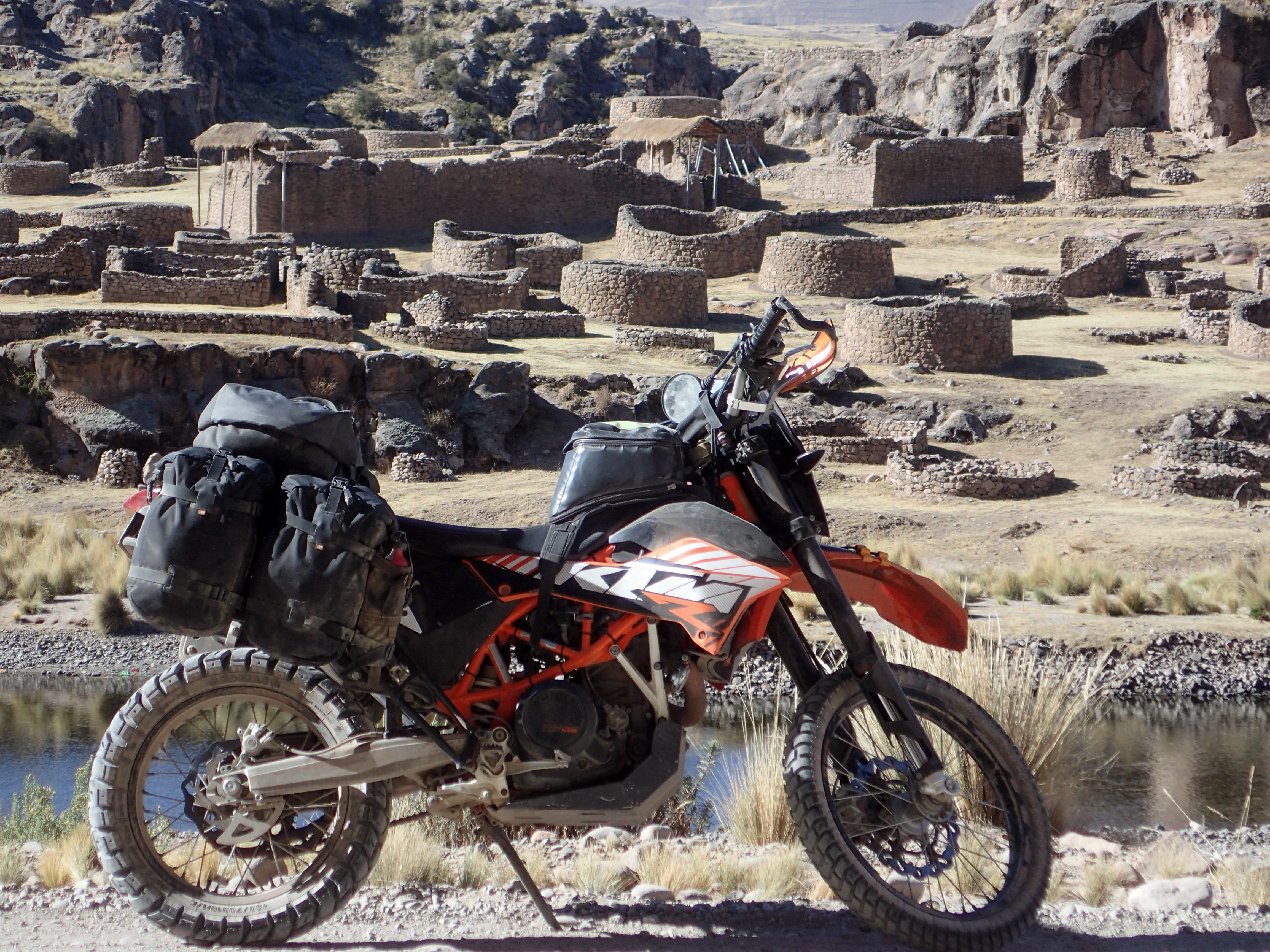
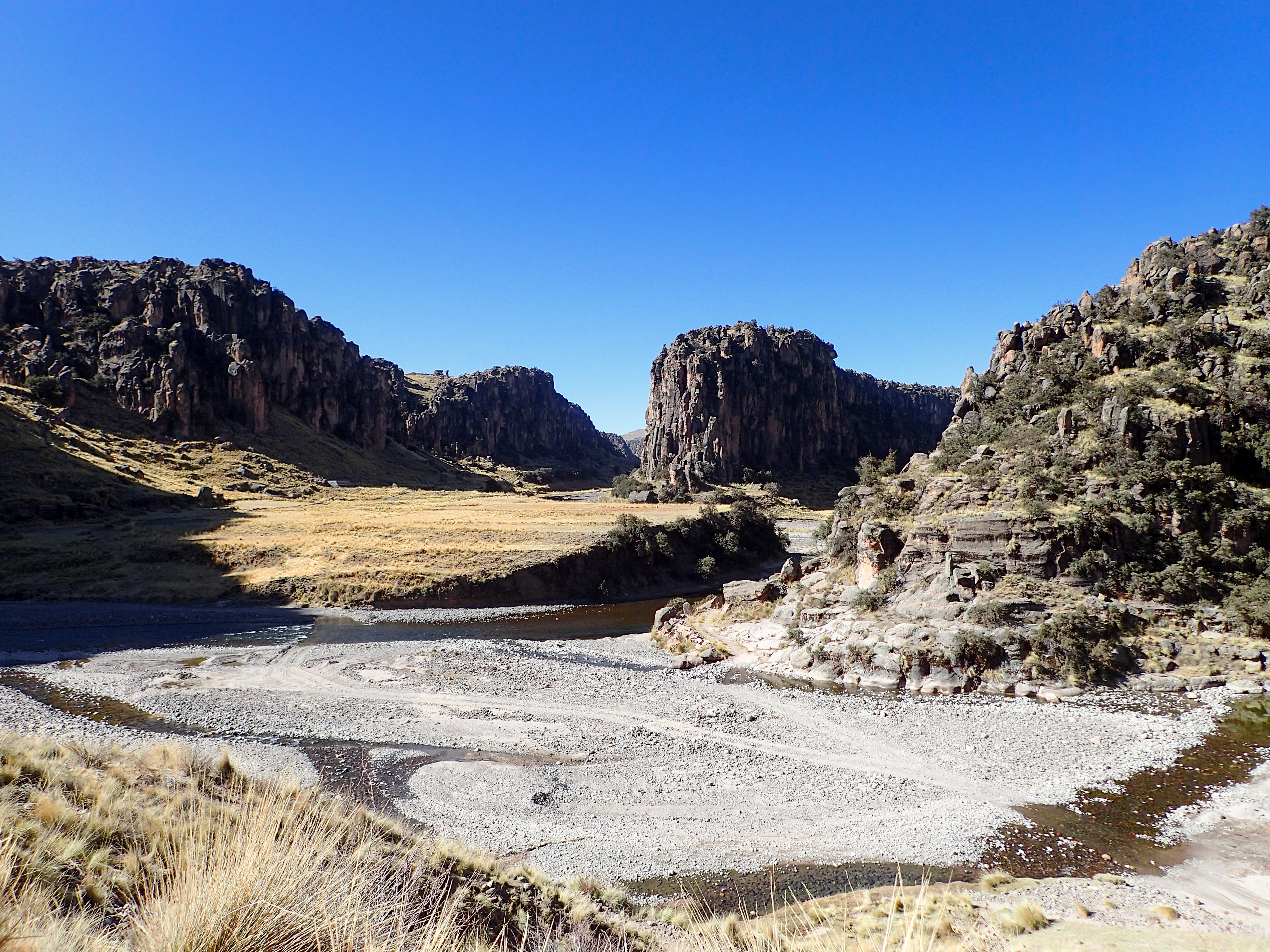
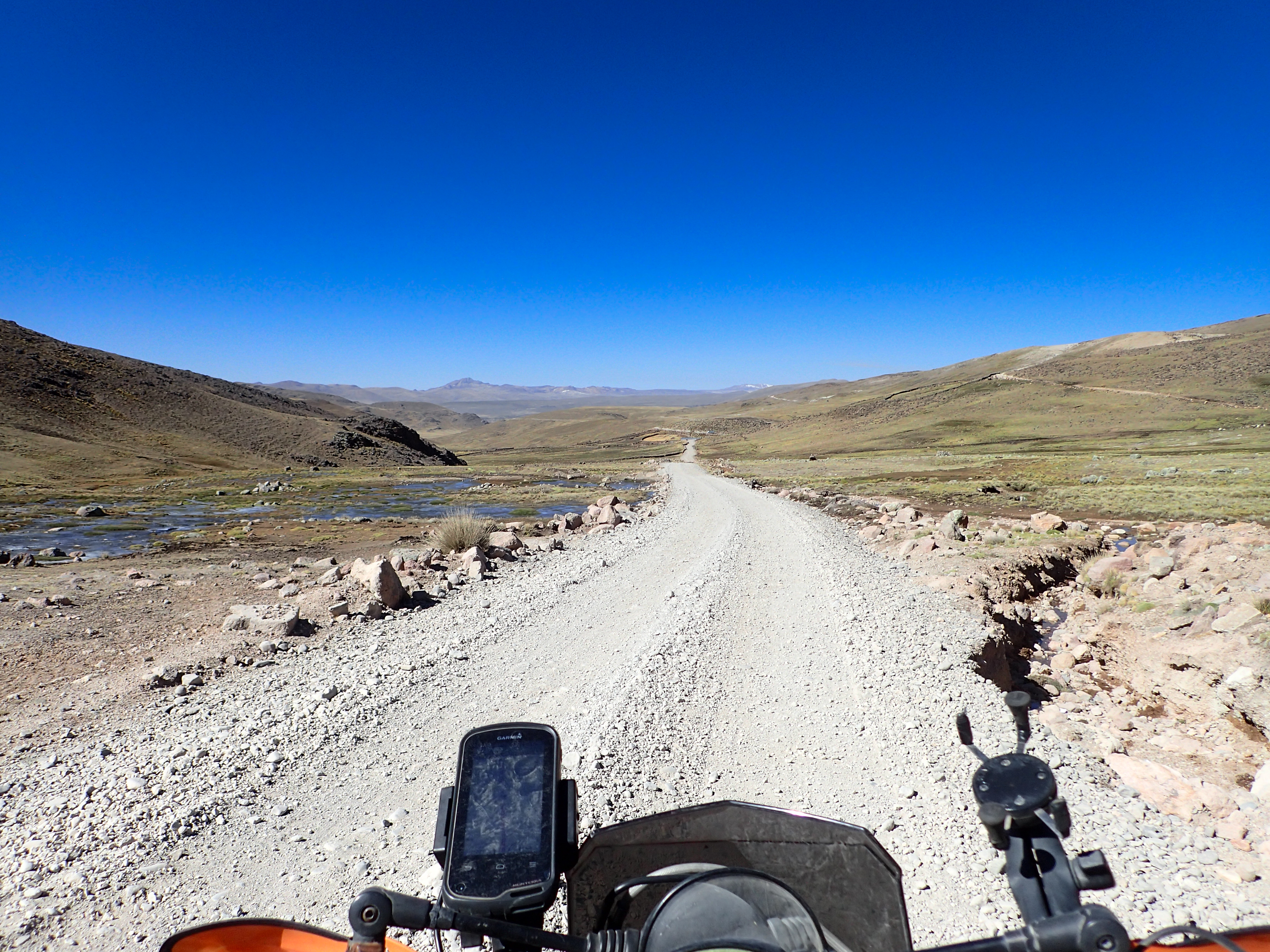
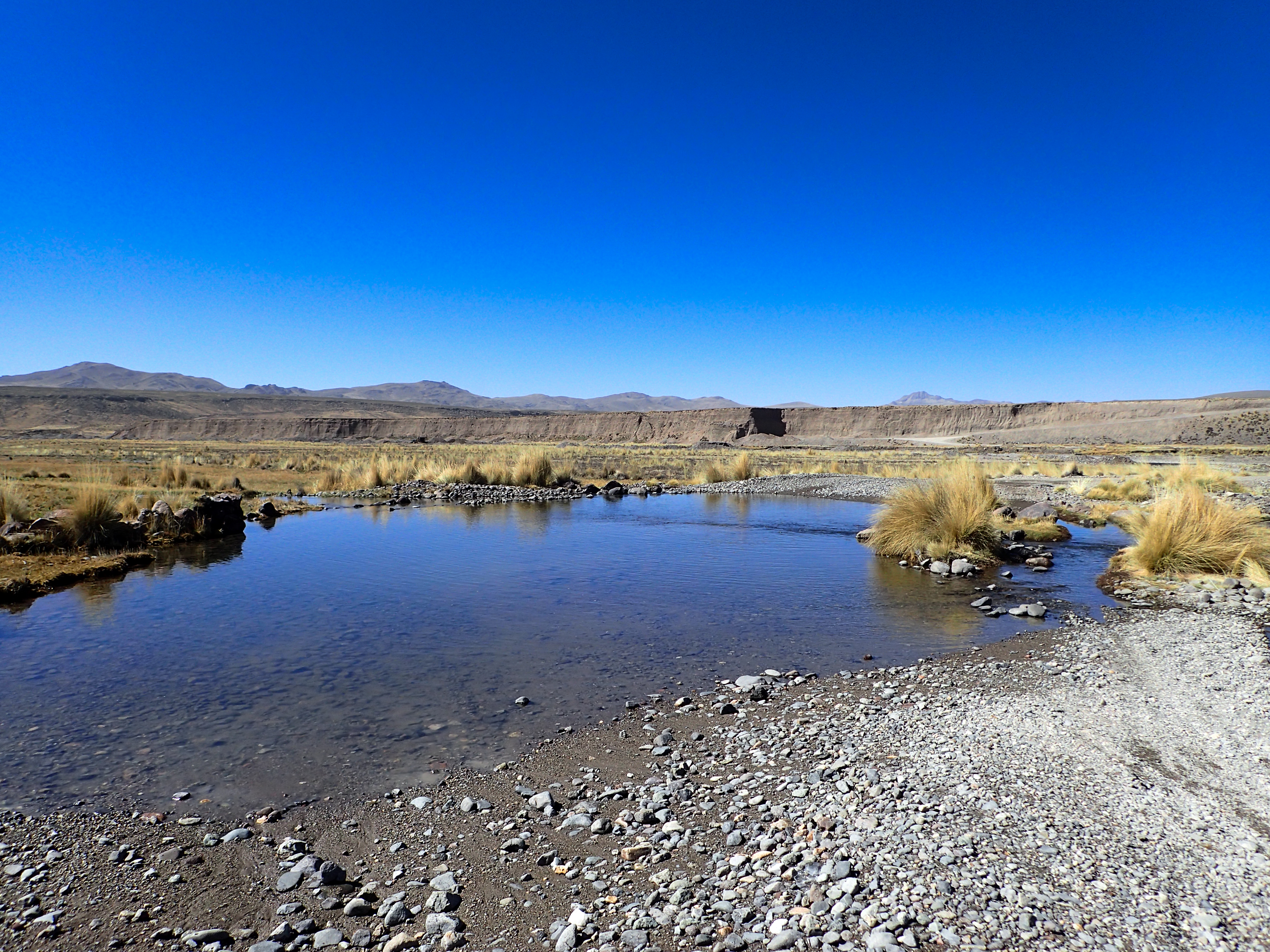
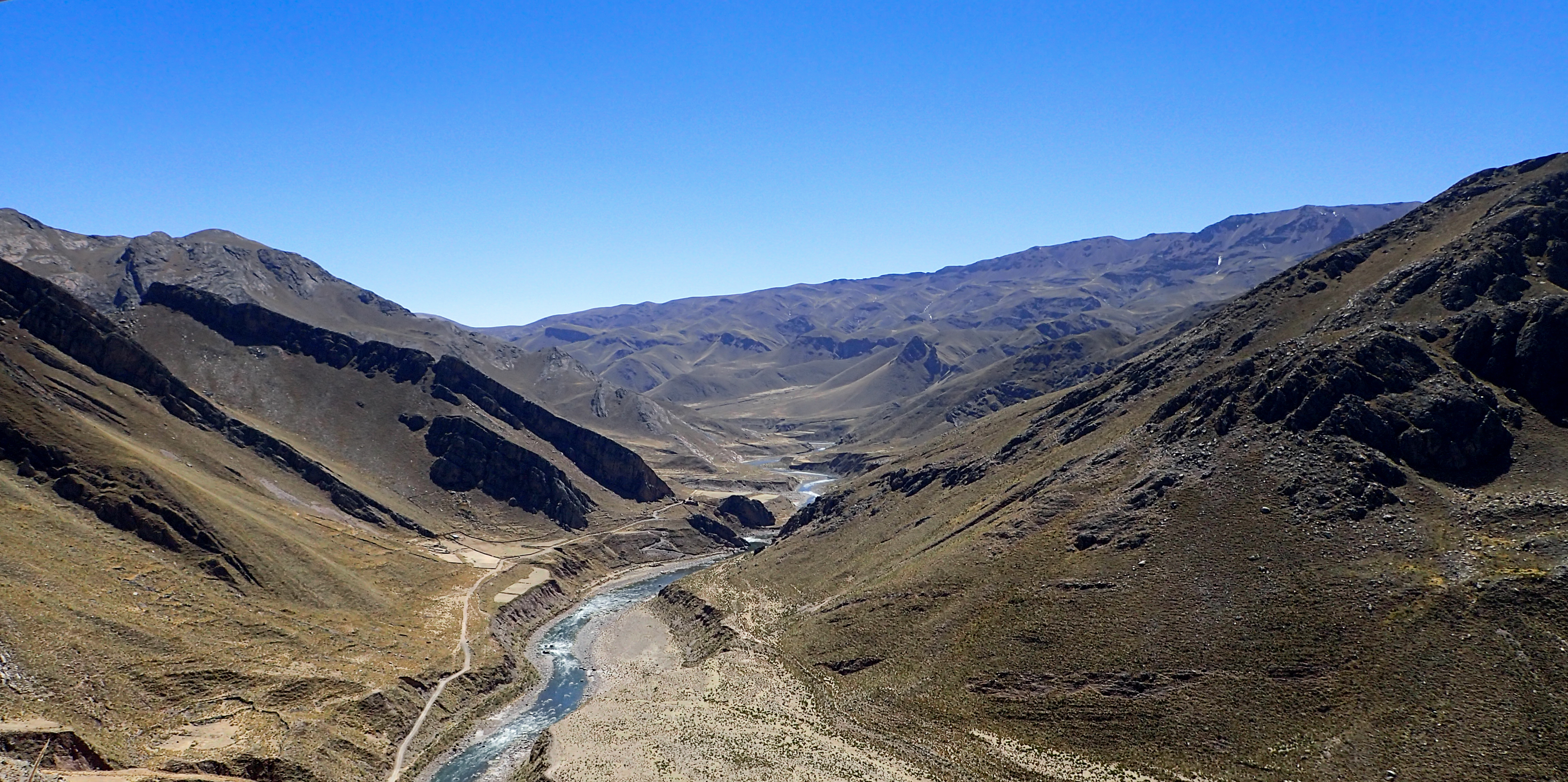
After a chilly night I headed towards Arequipa. I decided that I could make the meetup in Arequipa for a ride hosted by Socopur KTM in Lima. Back when I was in Lima they told me they were meeting in Arequipa on the 7th for a Colca Canyon ride. Turns out they lied and the meetup was in Camana. Luckily I didn't decide to take the highway even though I was trying to cover some 300km. I ended up on an awesome dirt road through beautiful rock formations and even ended up passing some awesome ruins.

0 comments:
Post a Comment