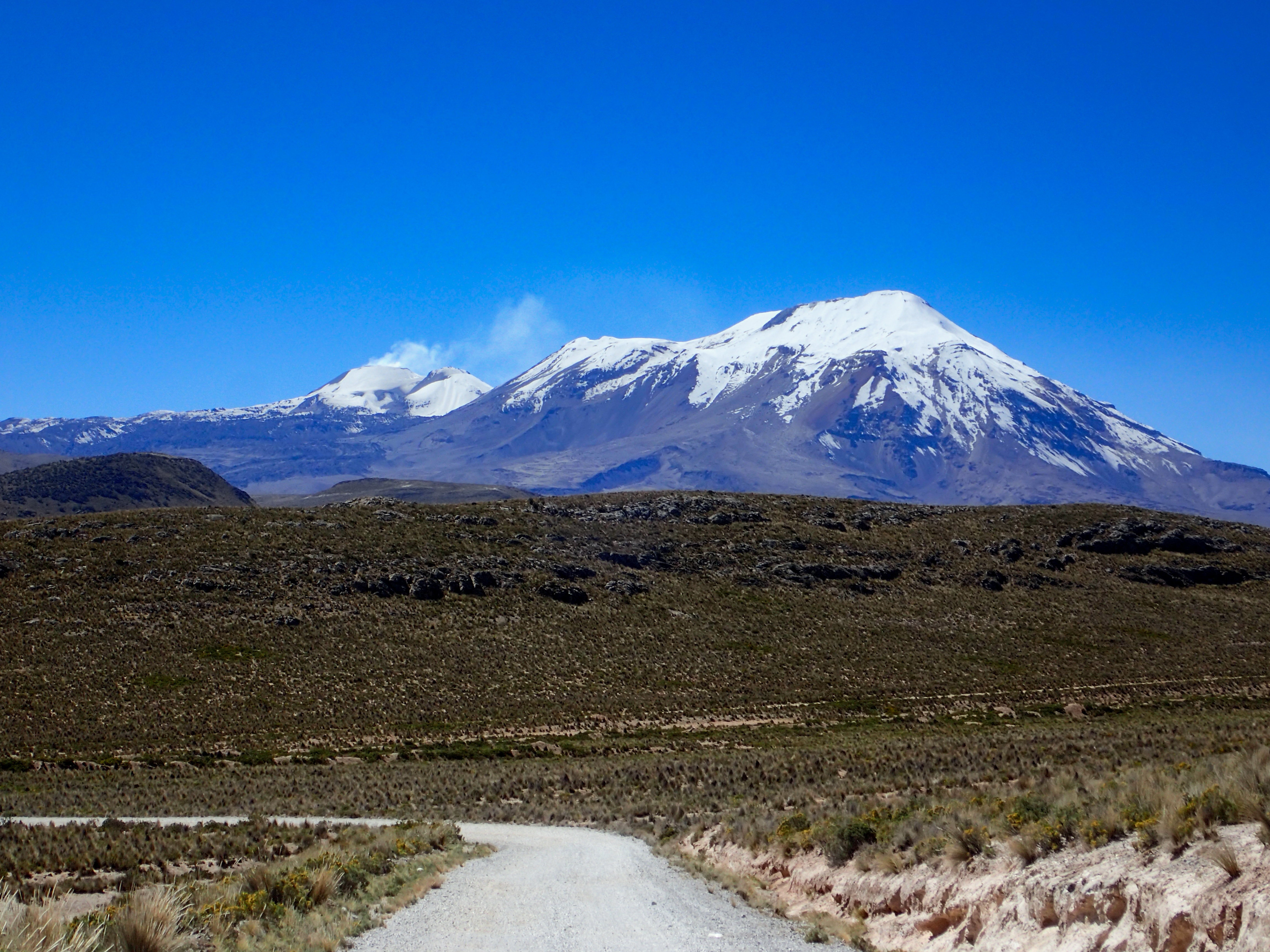
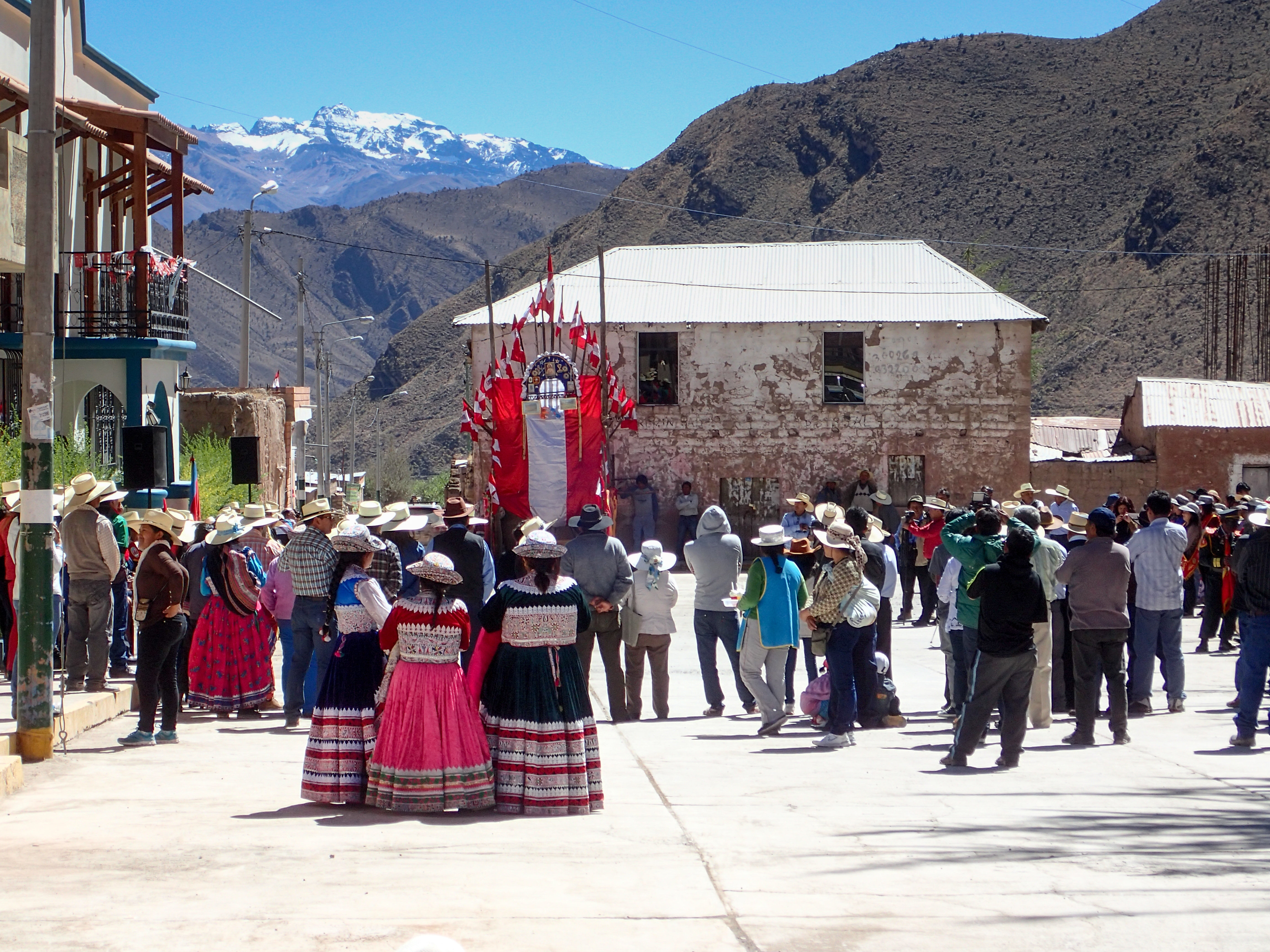
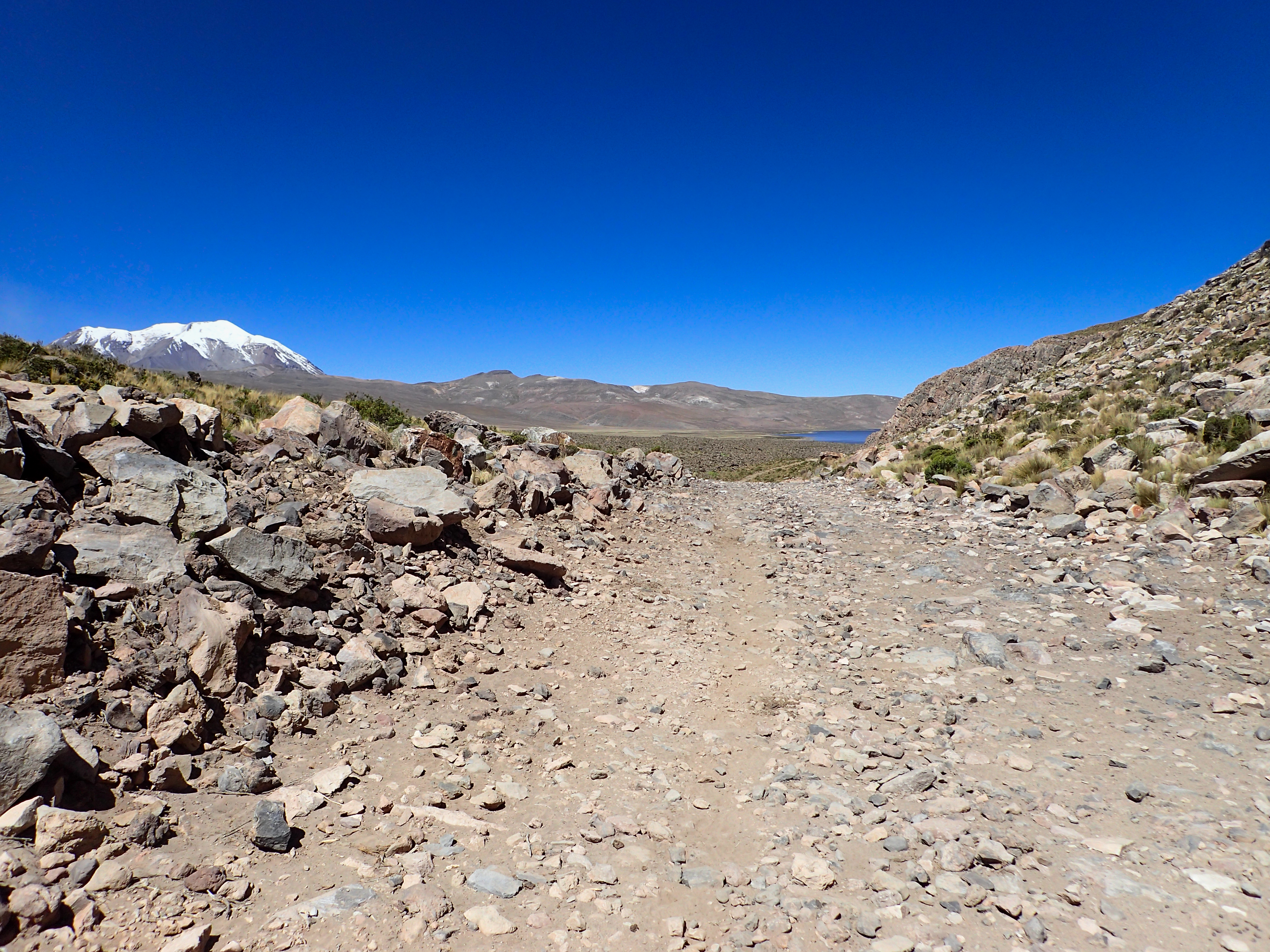
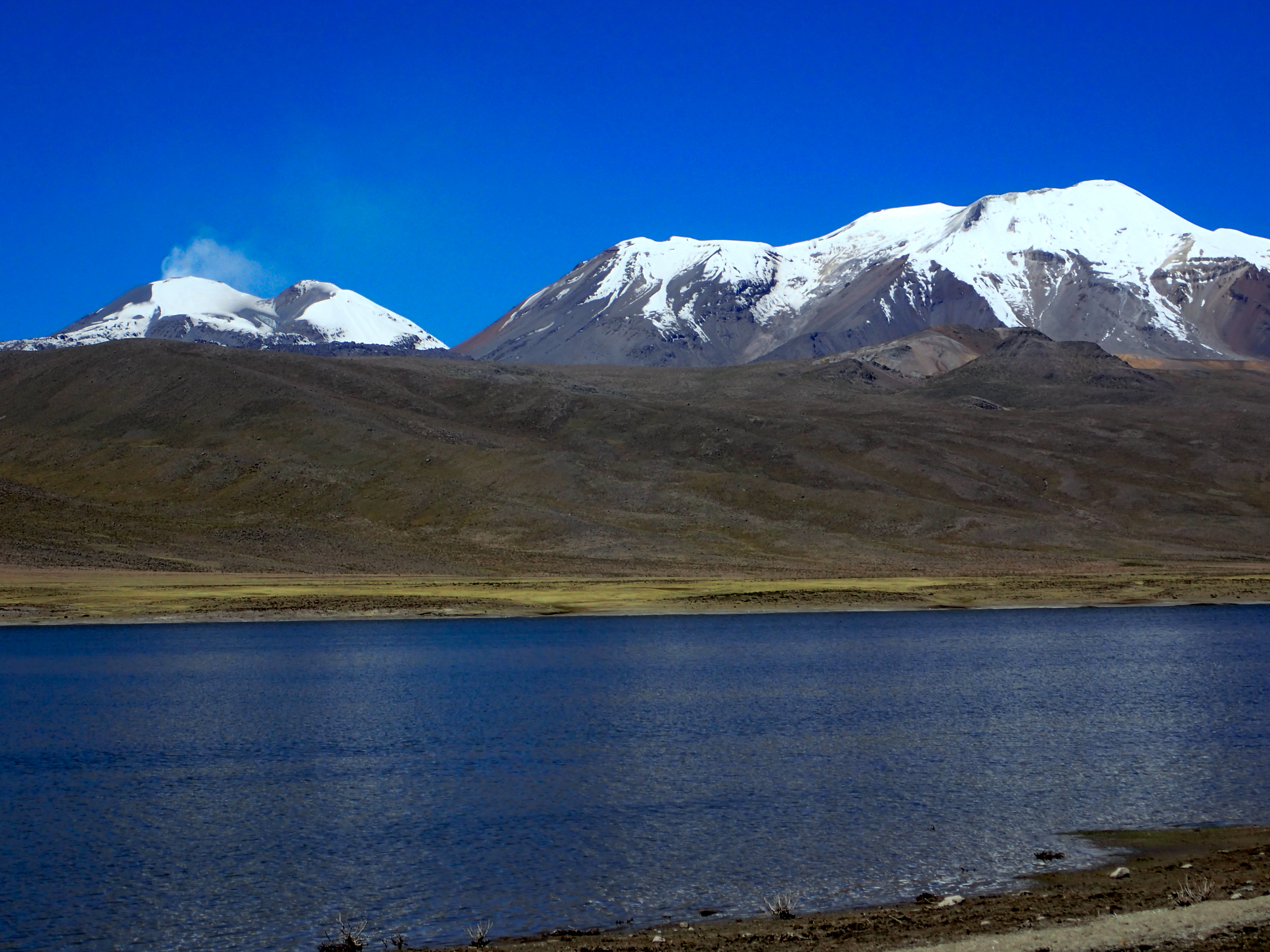
Planning to blast around Colca canyon in one day I left Arequipa early. All reports indicated that the road is paved all the way. After a short stint on the Panamerican I headed north towards the canyon and immediately I was on dirt. It would be dirt the rest of the way. The kind of wide dirt road that the cars haul ass on and it gets wash boards…not all that fun in the bad spots but very beautiful, windy and fast road through hills and cactus gardens. Not much to be had on this road and each town I hit was small and without gas. I started looking more into making it a multi-day ride and was looking for good side jaunts. My fuel light came on early at 145 miles. I decided to take a 30km detour towards Mururca lake anyway because it’s headed in the direction of the active volcano. This side road is at times rocky, sandy, silty and washed out…very baja-esque. Not many other tracks on this two track. Just animal tracks. Along the way I see a group of cowboys on horseback. I also see some sheep and llama. The lake was beautiful but after I didn’t have any gas left for detours. I pushed on to a touristy town called Cabanaconde. It ends up being the town that is nearest to Colca Canyon hiking. I guess I was looking at it for a while. I find barrel gas at a decent price and my bike takes 4 gallons in just 190 miles. I only had 1/4 gallon left. I decided to stay in Cabanaconde for the night and explore the dirt roads that go down into the canyon the next day.

0 comments:
Post a Comment