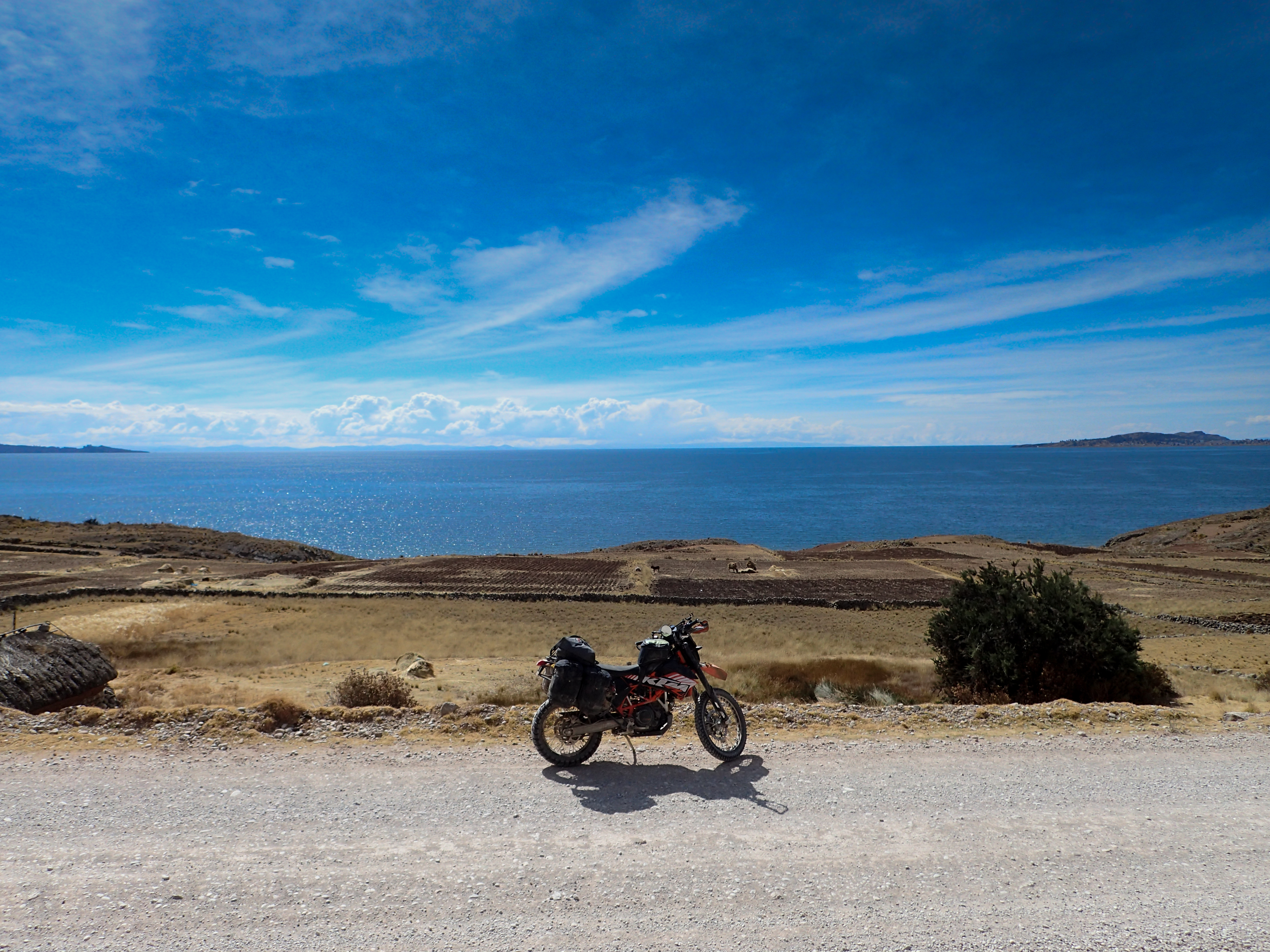
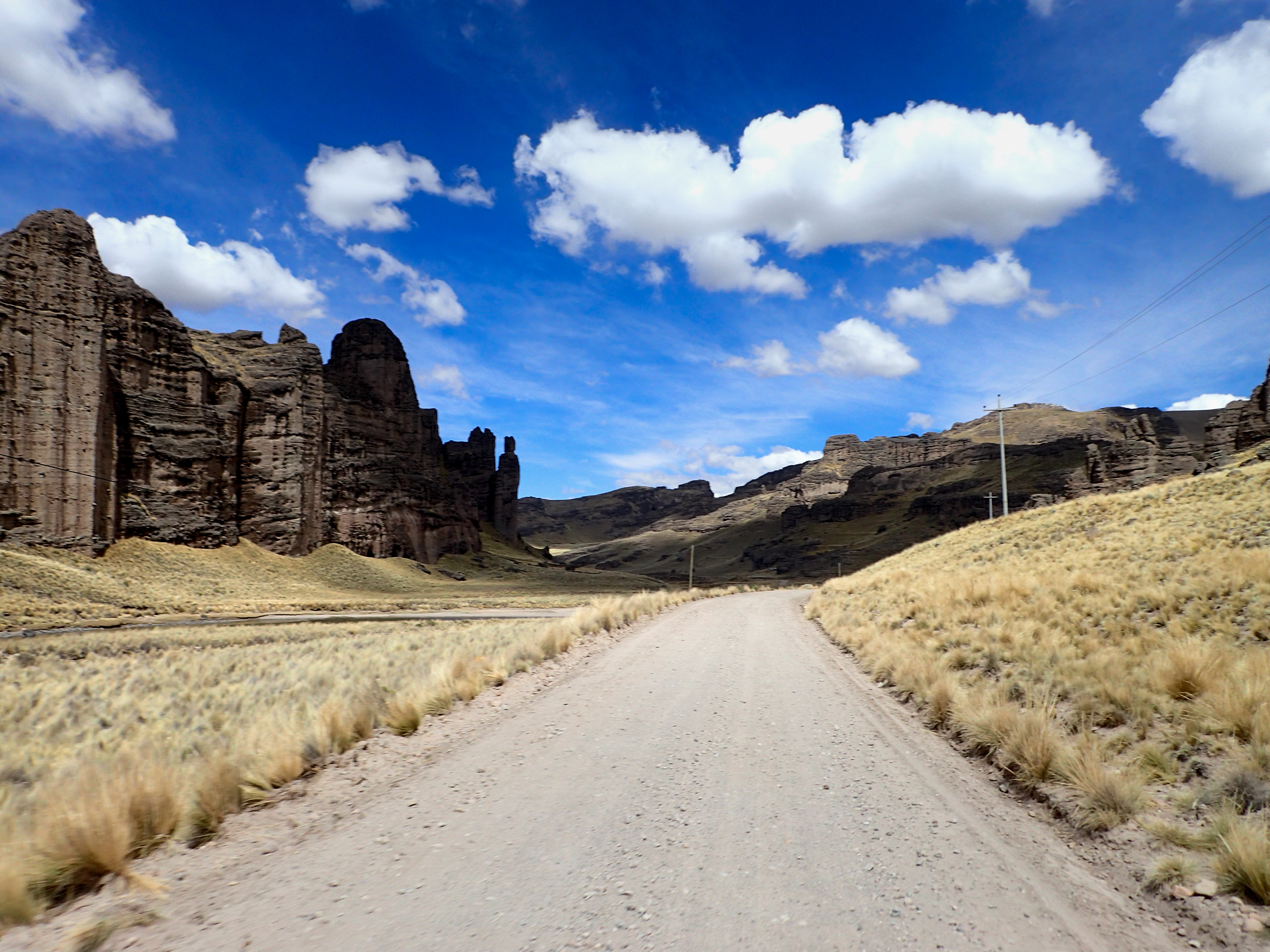
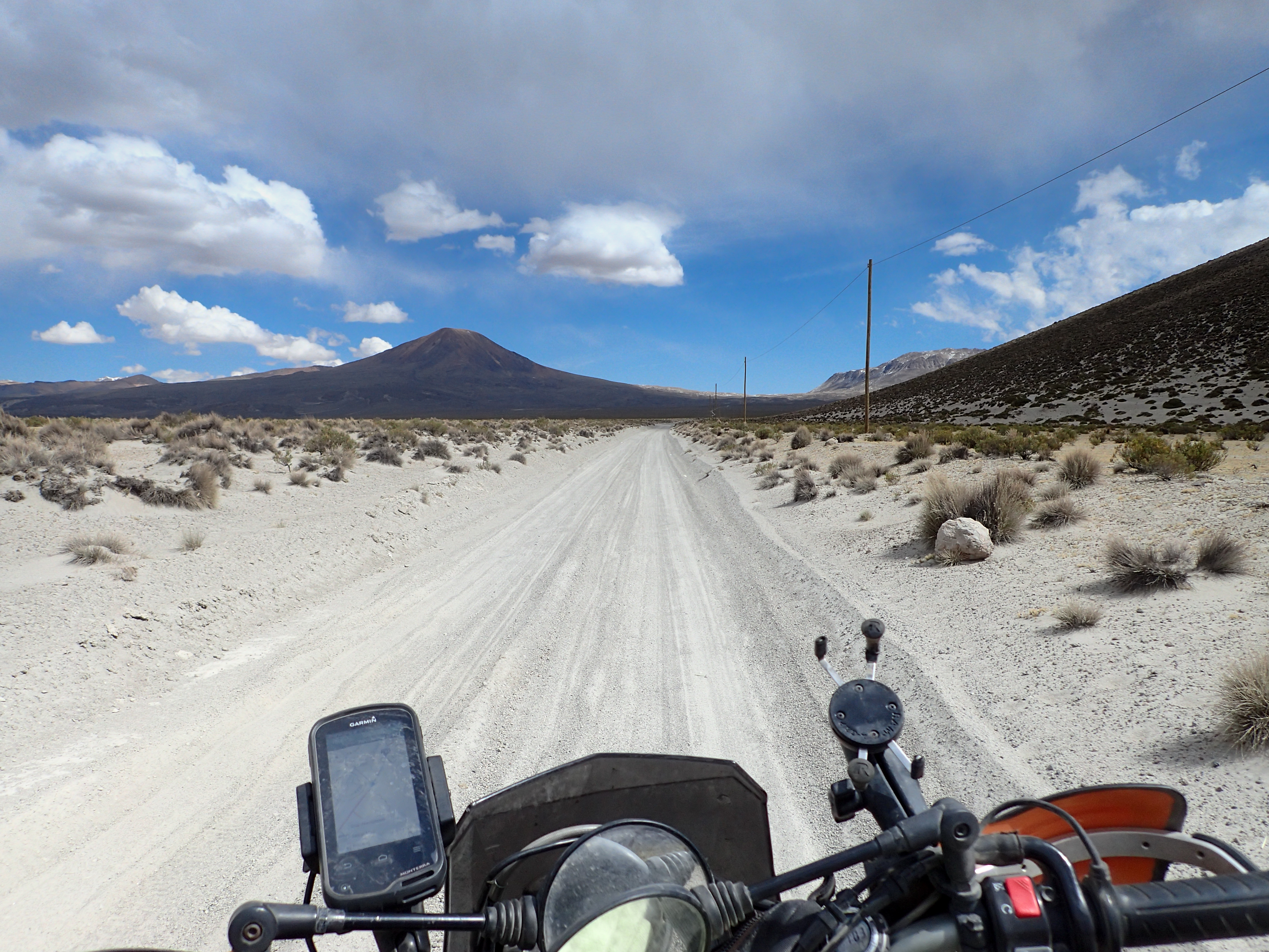
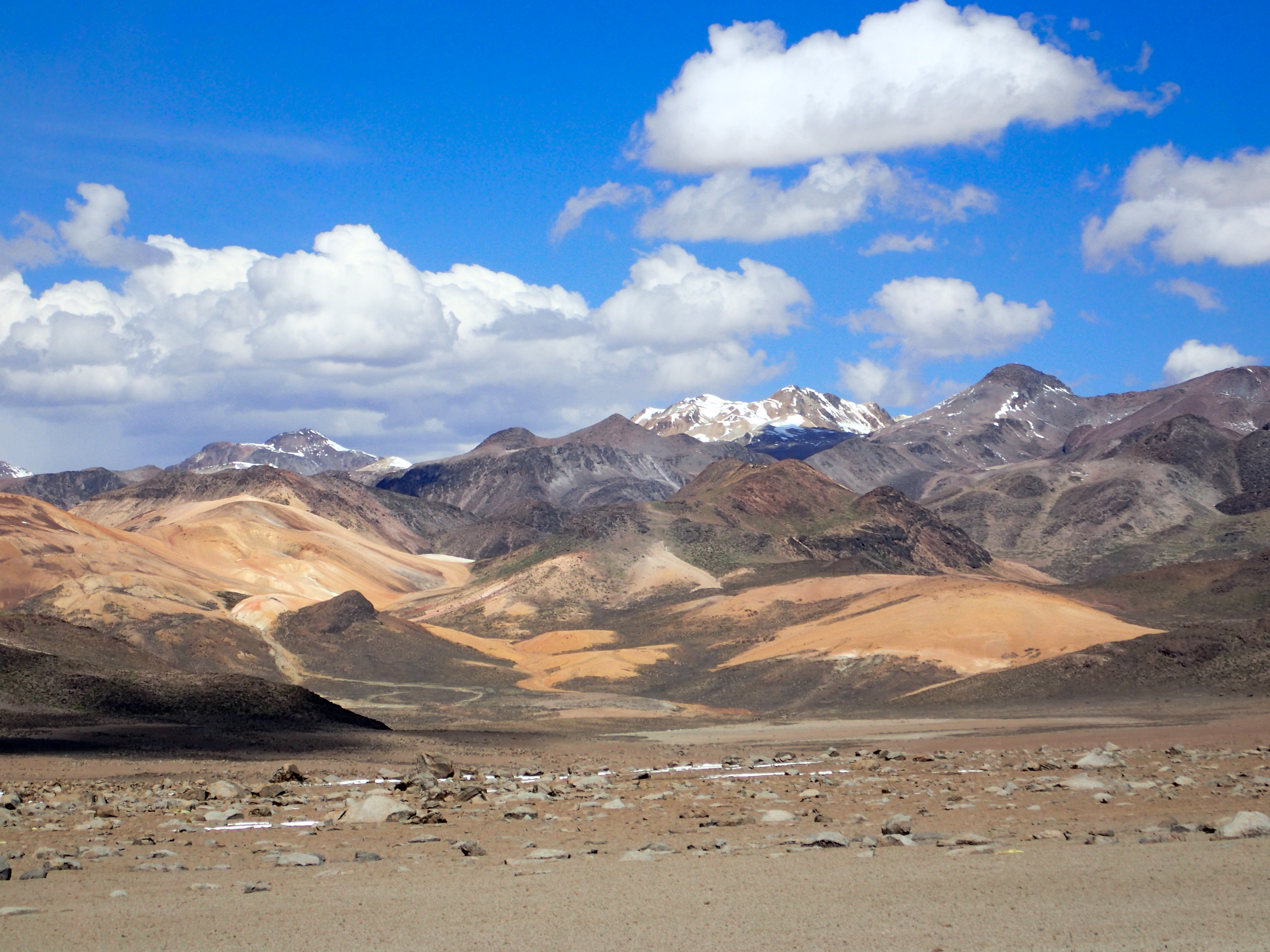
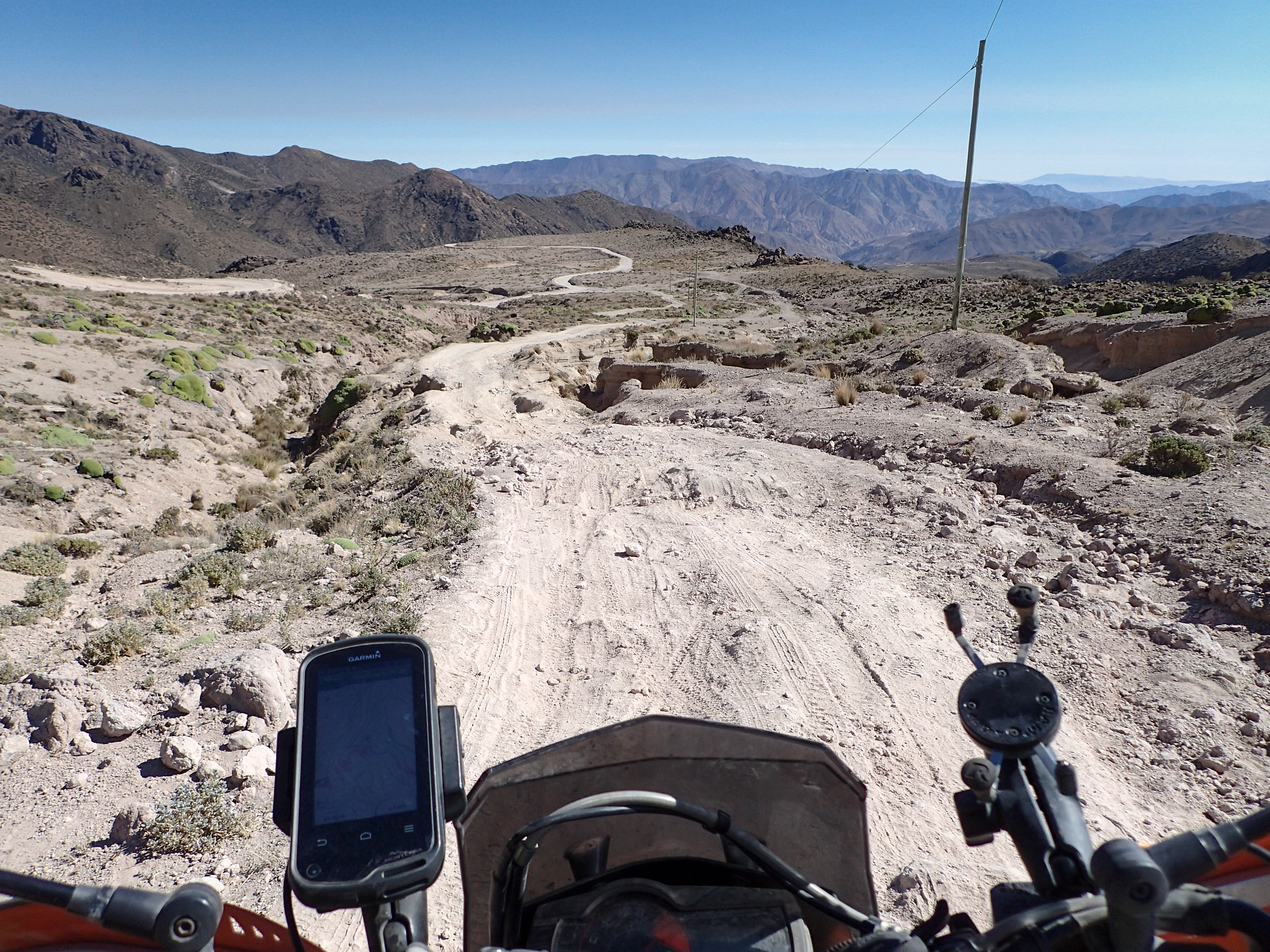
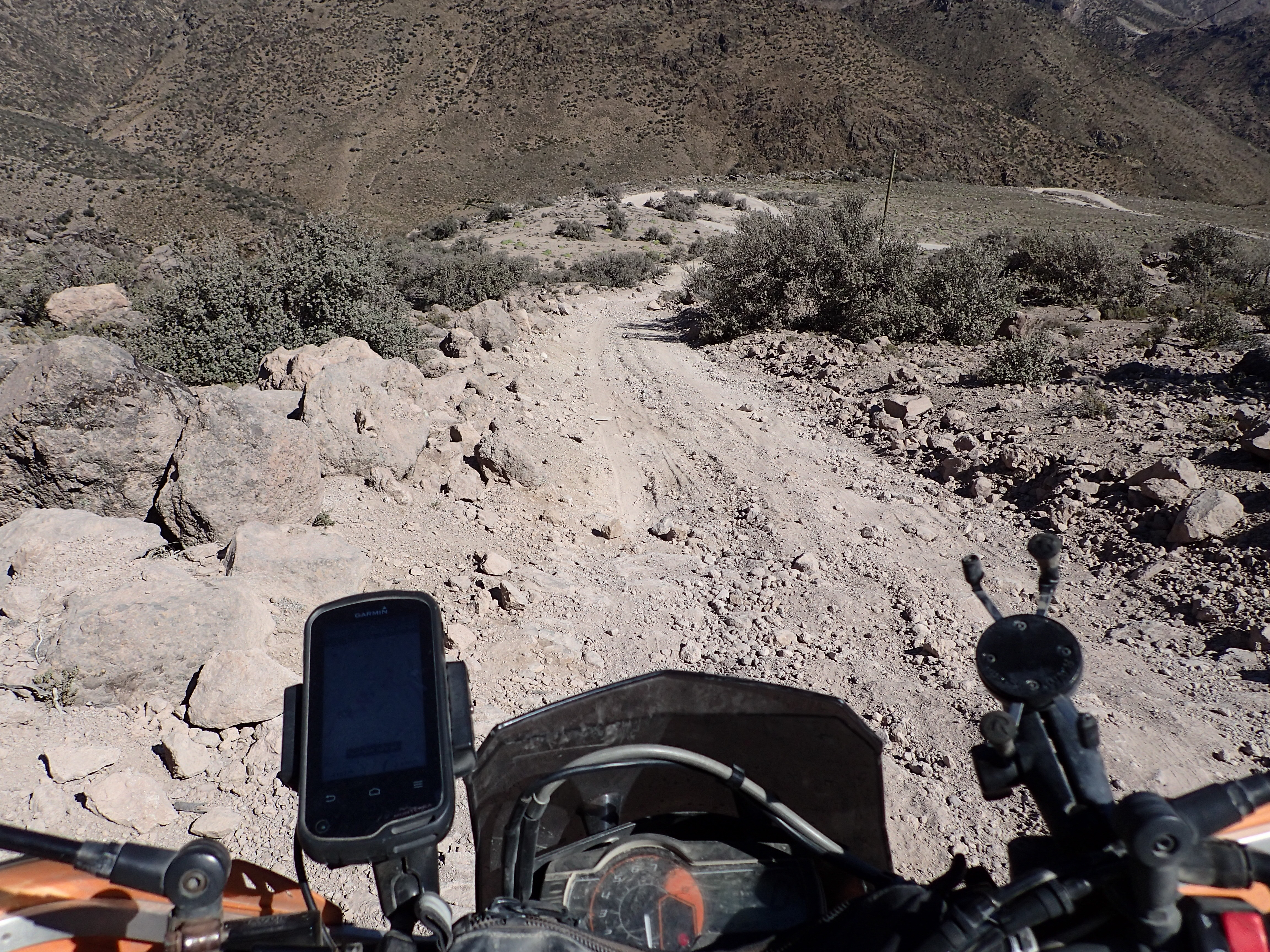
Heading out of Puno and took a slight detour on a road that went around a peninsula into Titicaca. Got some good views and then headed towards Tacna. After turning off the main highway that heads into Bolivia the road was dirt, straight and washboards. Progressively the road got more interesting and the scenery more beautiful. Then it got sandy. It would be sandy for almost the entire way. Even as the road climbed into the mountains passed the volcanoes it remained sandy. At 4700+ meters there were snowy sand dunes. The riding was very difficult. The road was very remote. There was no gas to be found. I rode the 400km from Puno to Tacna without seeing a proper gas station. Coming down from the mountains there were relentless sandy switchbacks into Tarata. Often there were steeper and less traveled shortcuts across the switchbacks. Some of these ended up being pretty gnarly. Mercifully, 2 km before Tarata the road turned to pavement…and it was one of the most fun paved roads I’ve been on. Well paved with a racetrack mix of turns…incredibly fun. You may want to consider splitting this up into two days because 200+km of it is sandy. The scenery went from lush at Titicaca and became more and more barren desert as I got further into the Atacama.


0 comments:
Post a Comment