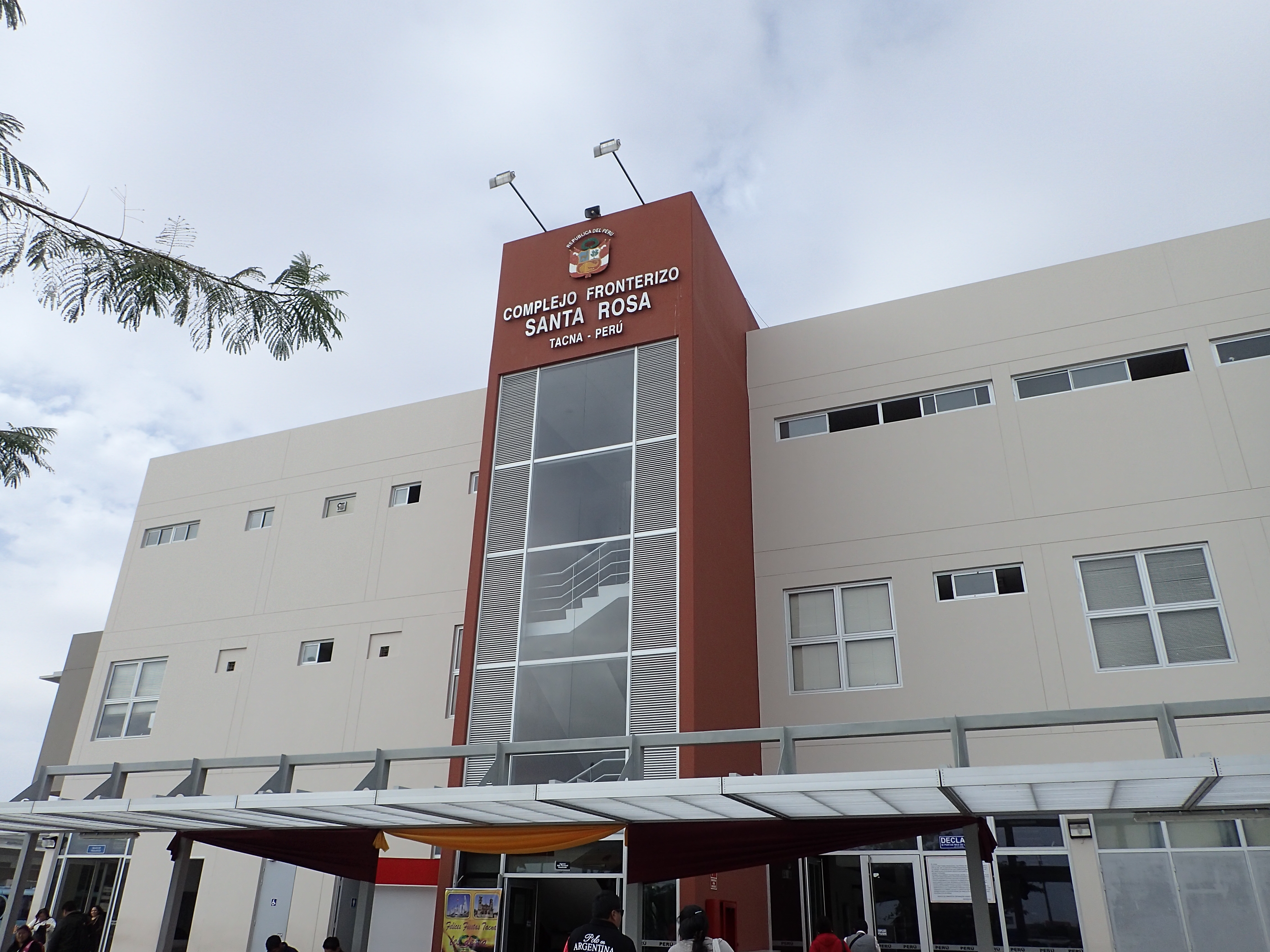
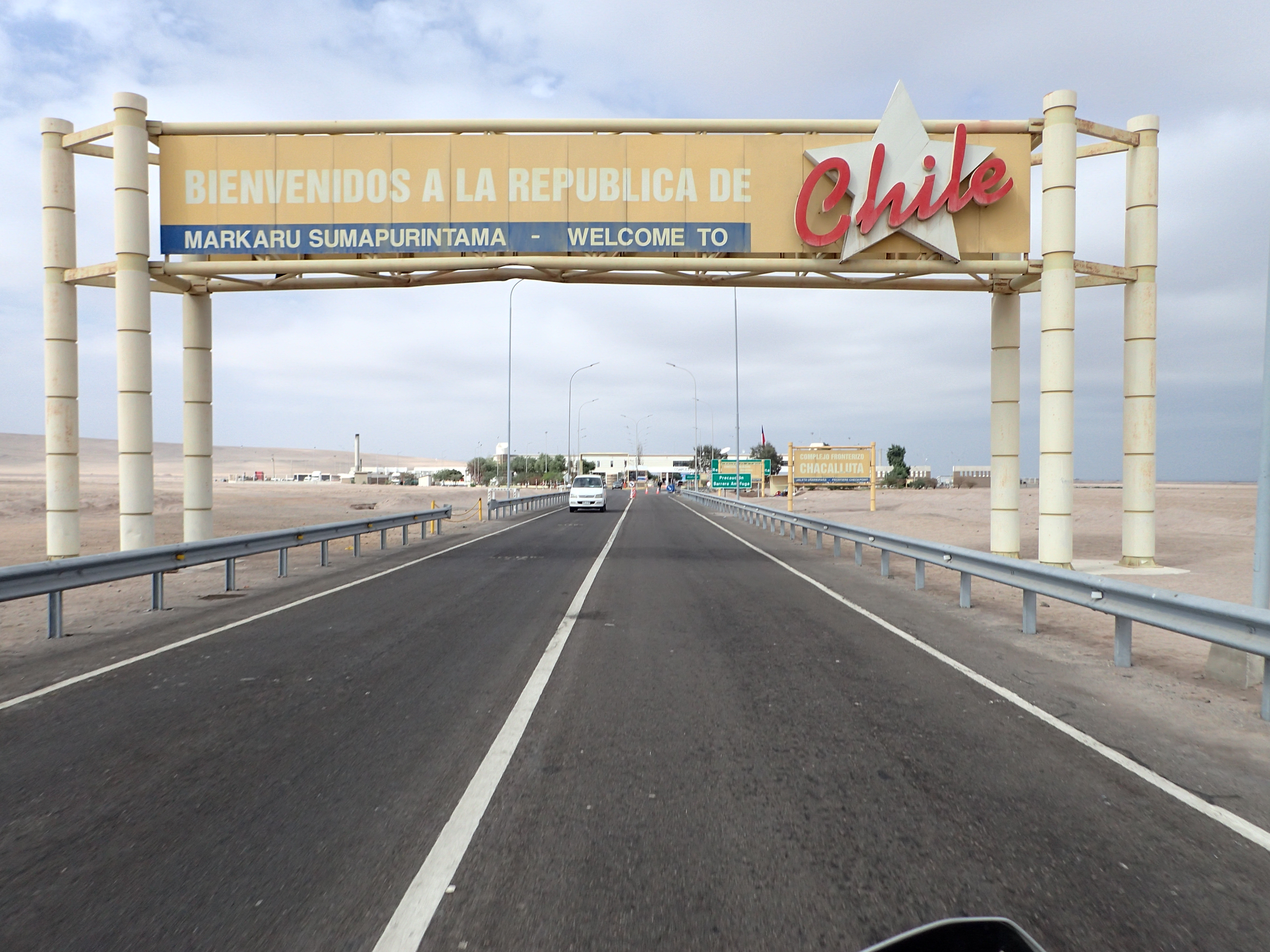
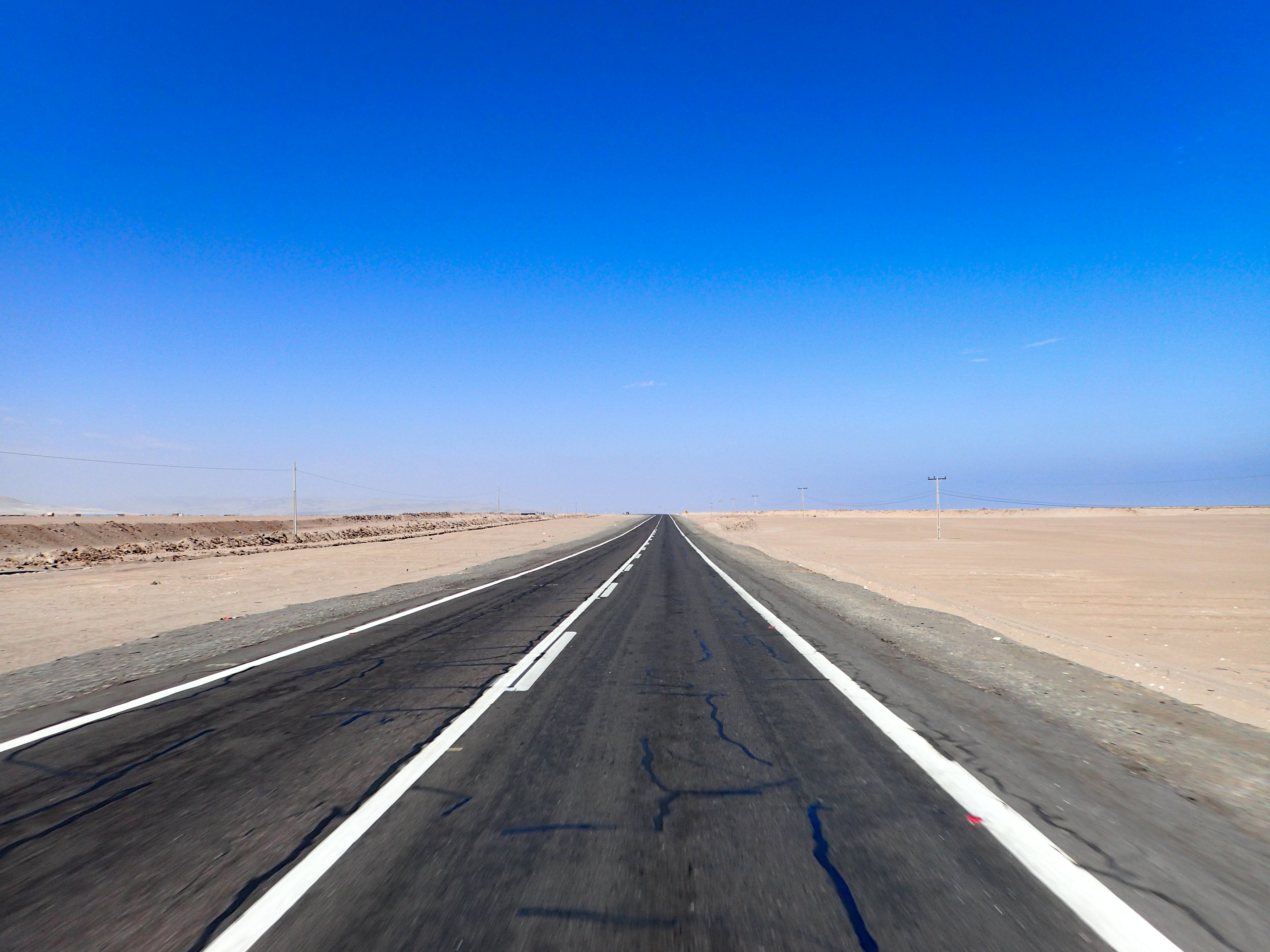
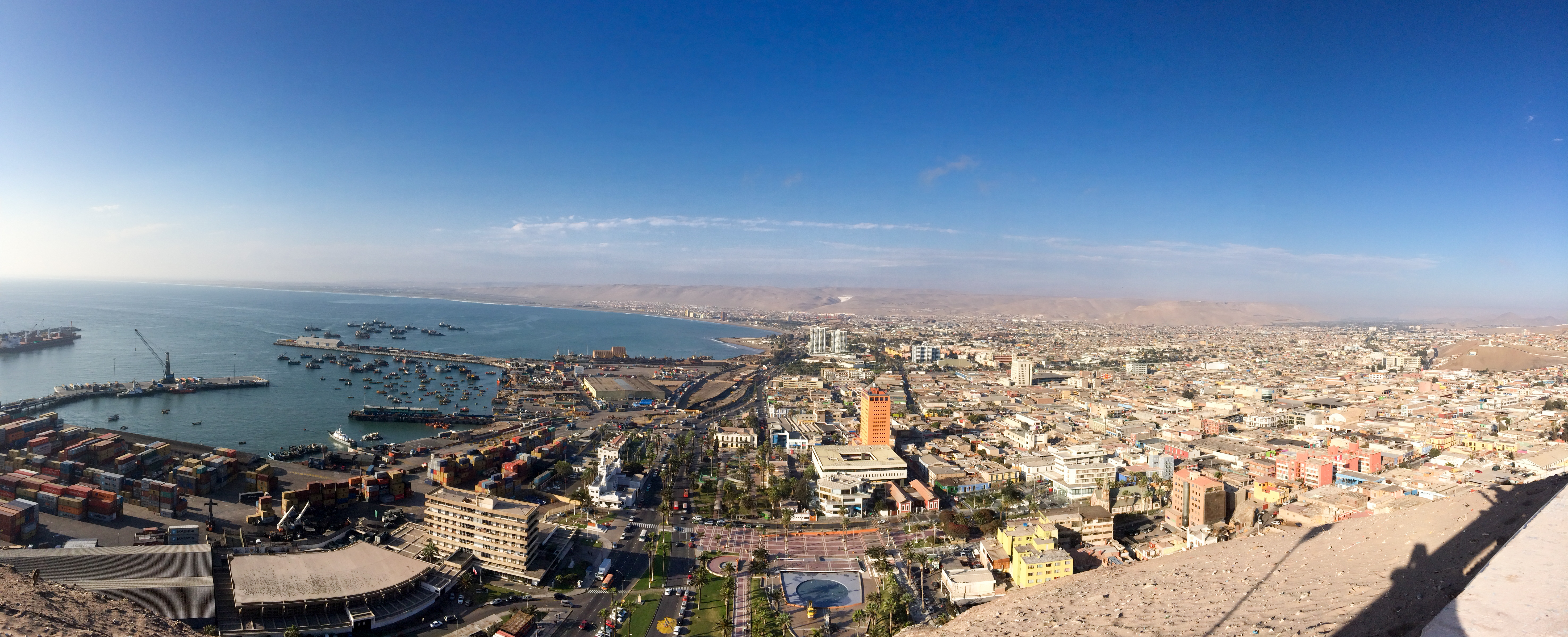
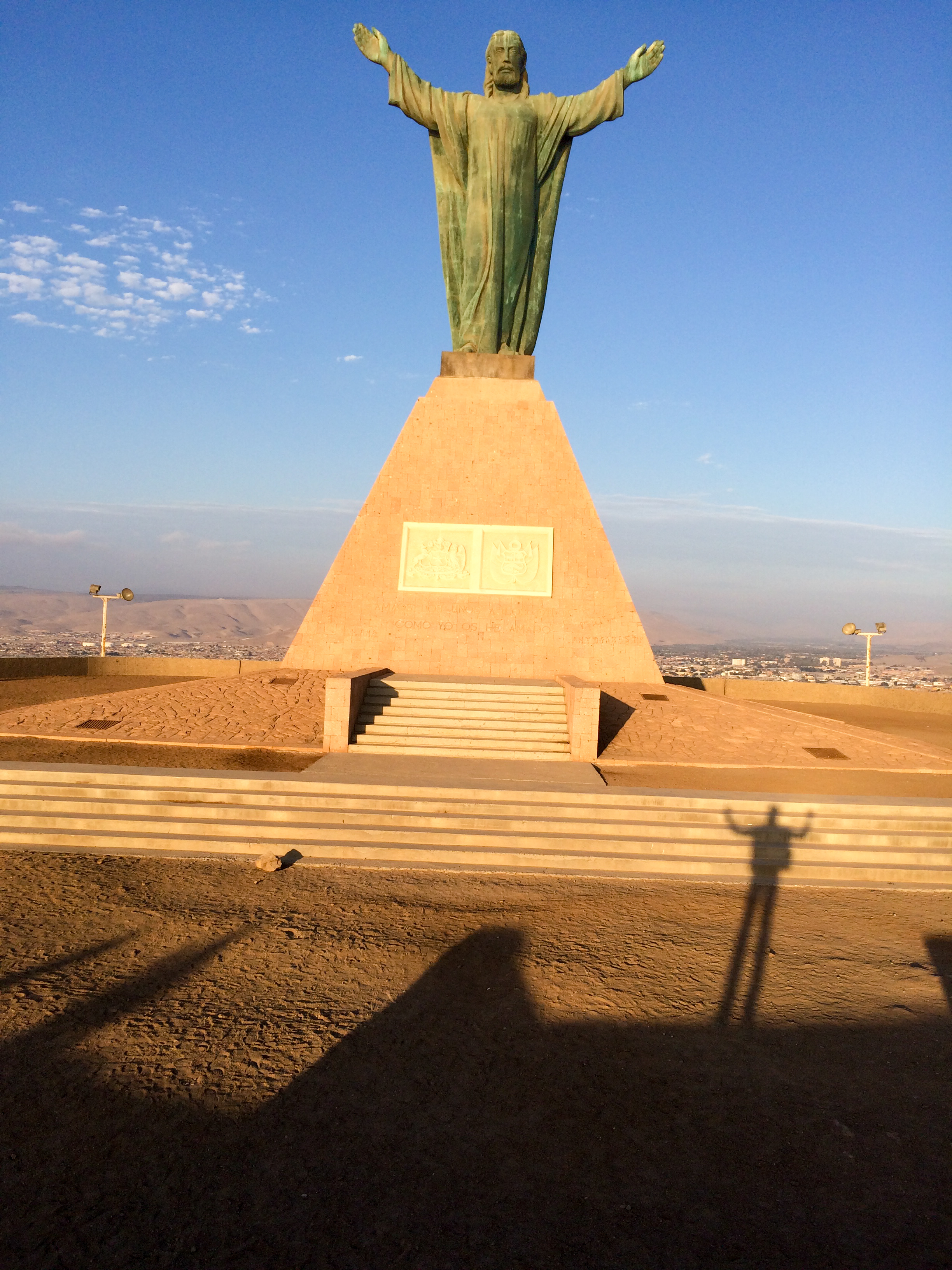
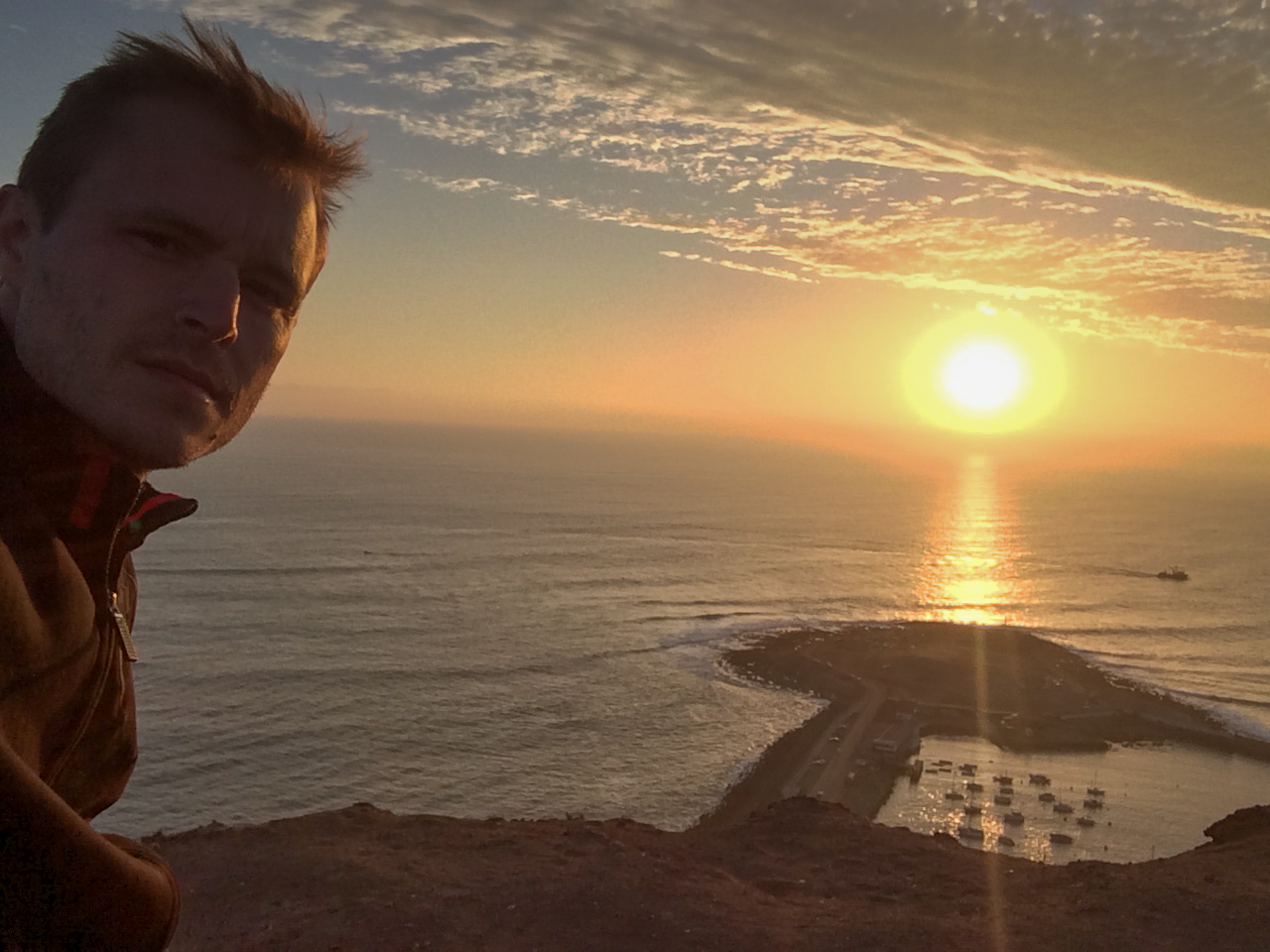
Strange border crossing today into Chile. After getting my exit stamp in Peru I couldn't find anyone to tell me where to go for the moto. There were two toll booth style stops and I tried to ask both guys but they wouldn't let me ask my question and just violently waved me through and I couldn't turn around. So I went to Chile. I think if I go back to Peru it will be like the bike never left and I will have problems to sort out. Fairly boring ride but Arica has a kind of charm to it.


0 comments:
Post a Comment