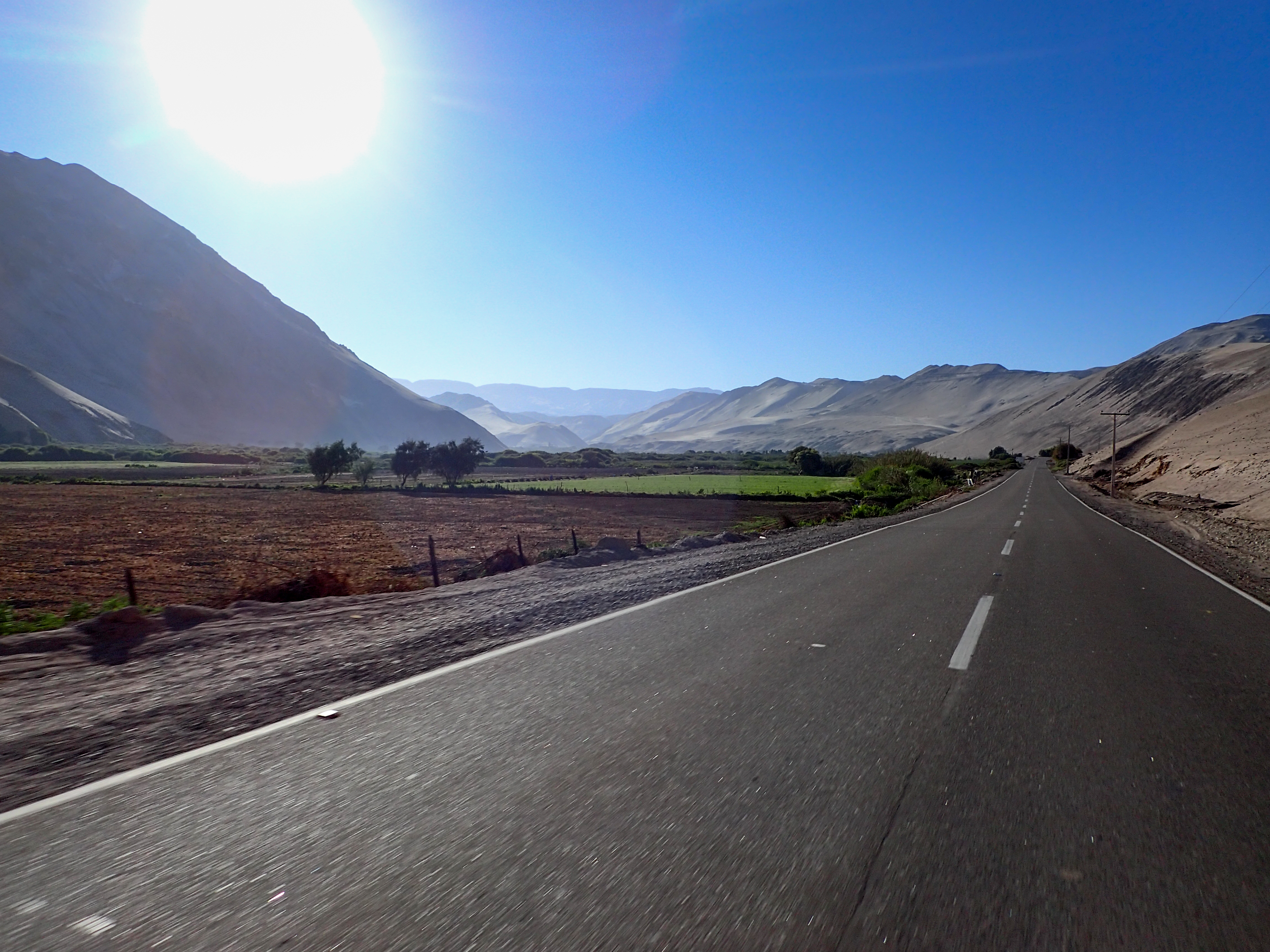
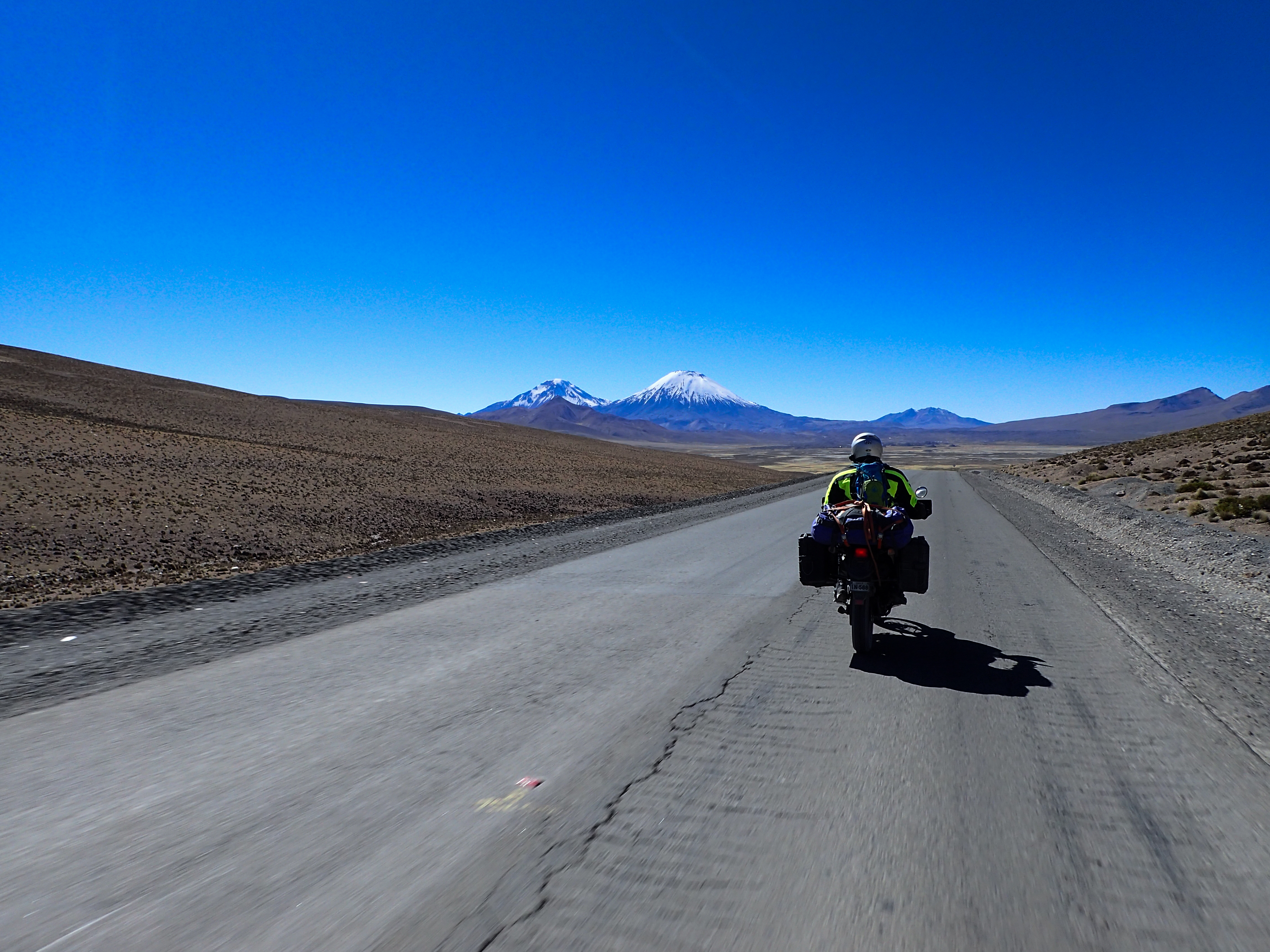
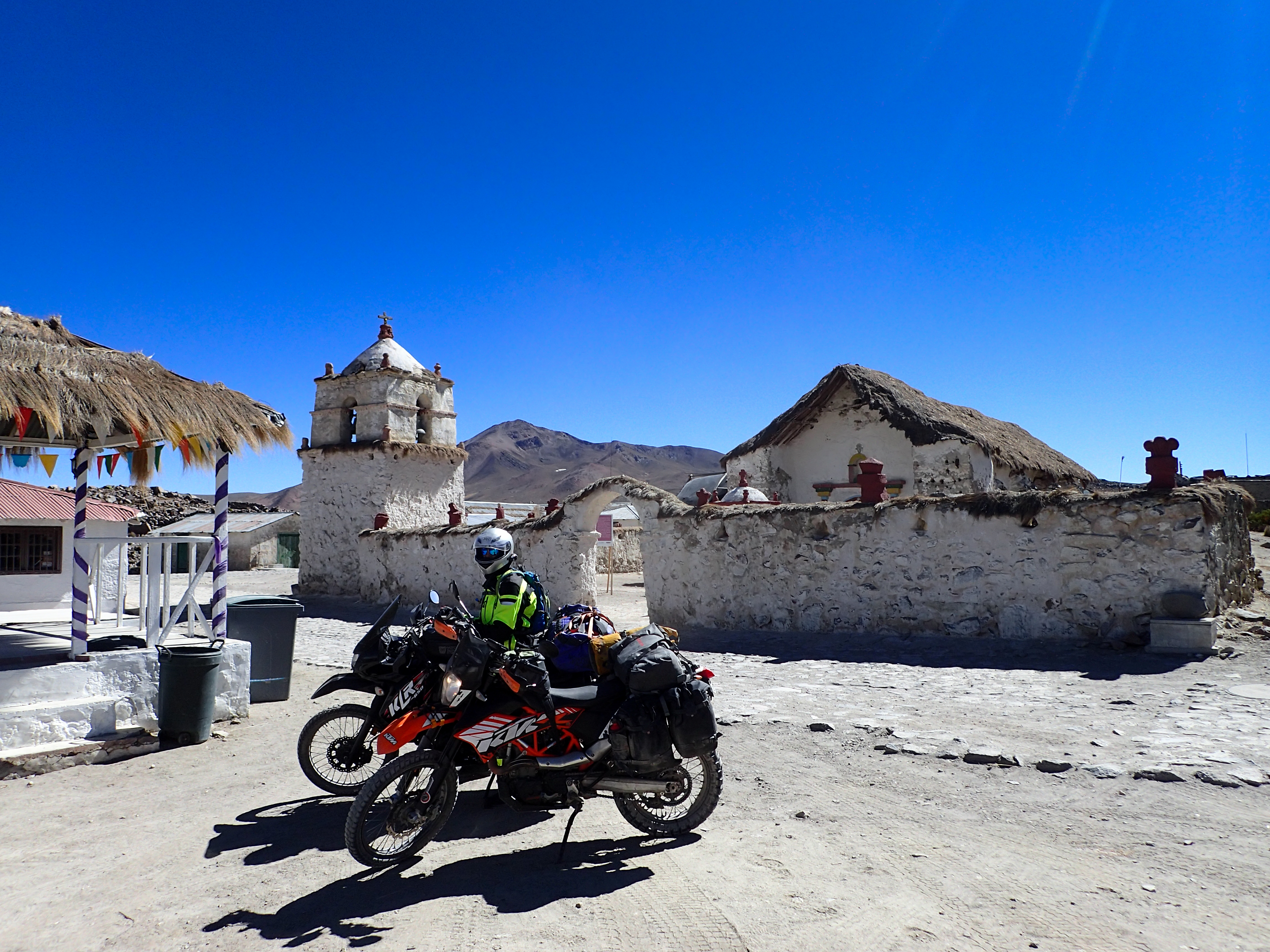
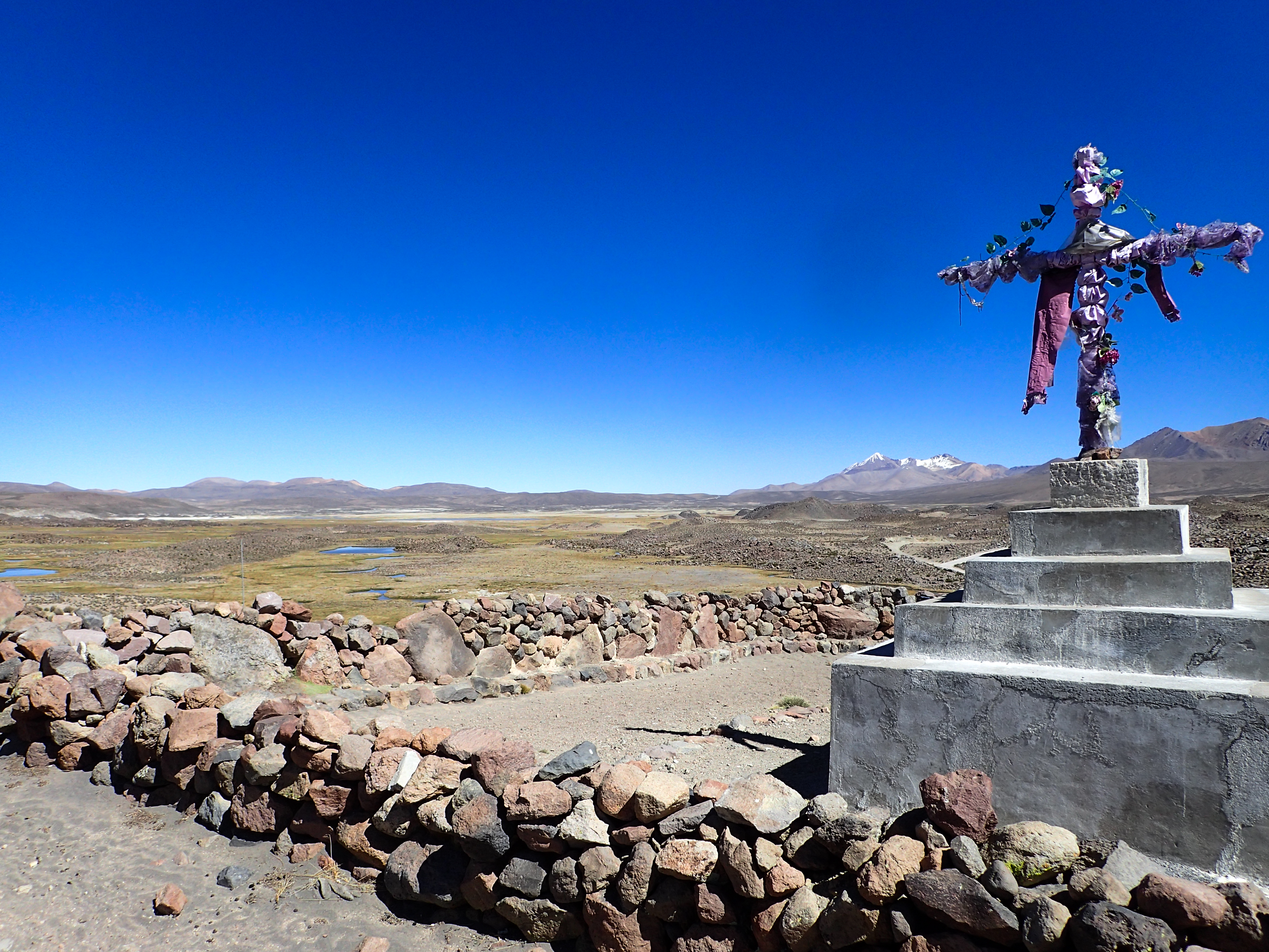
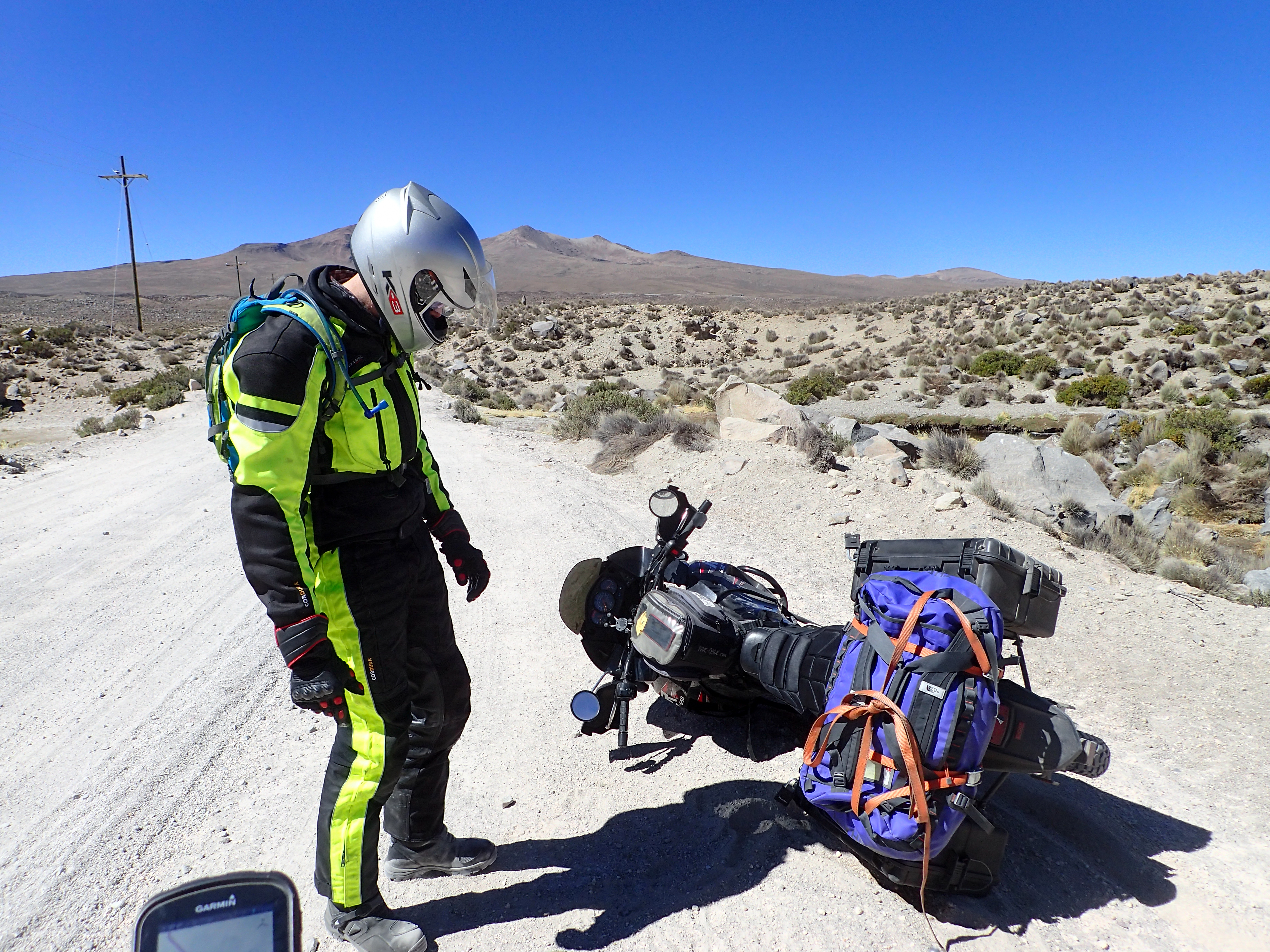
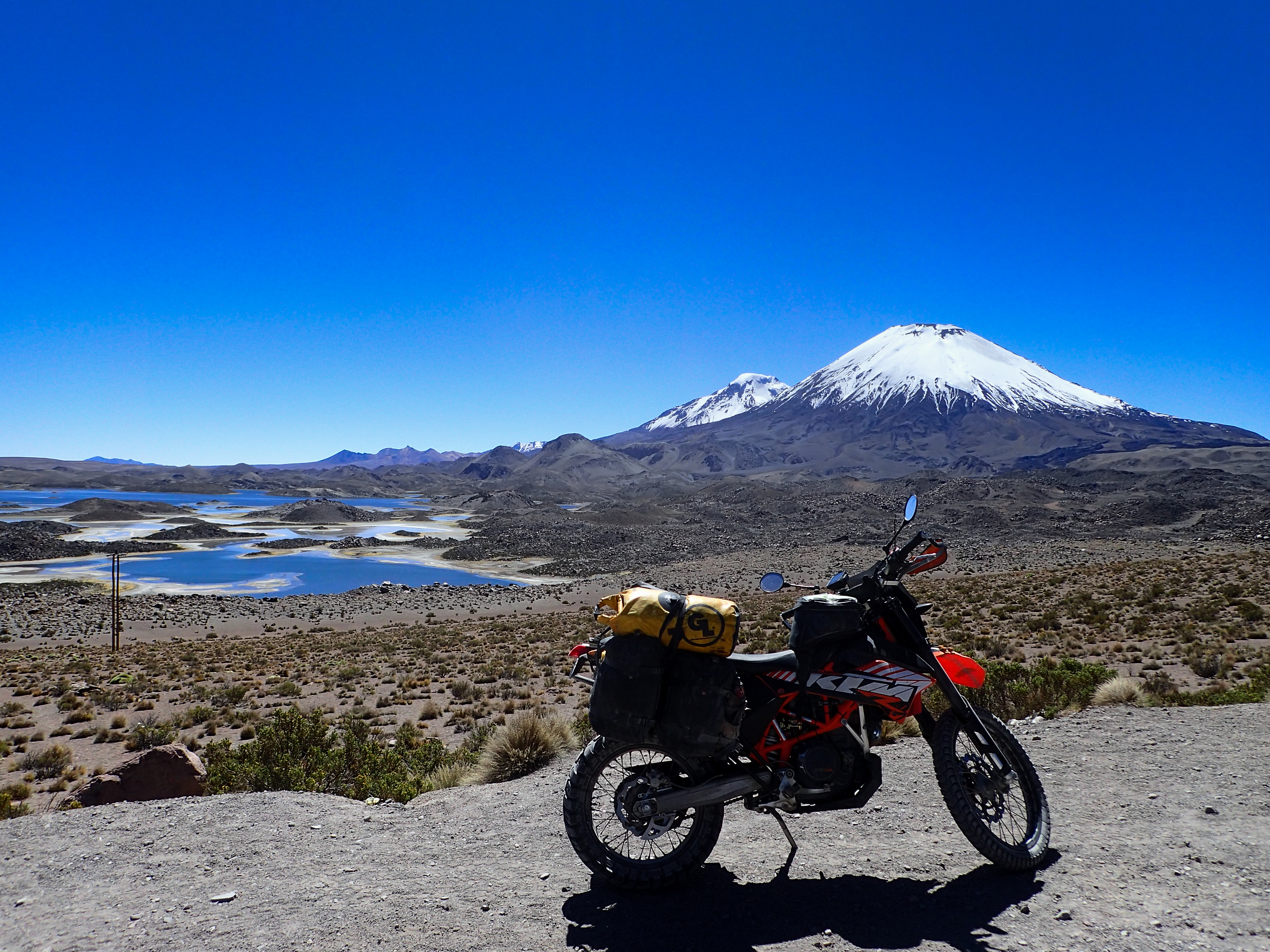
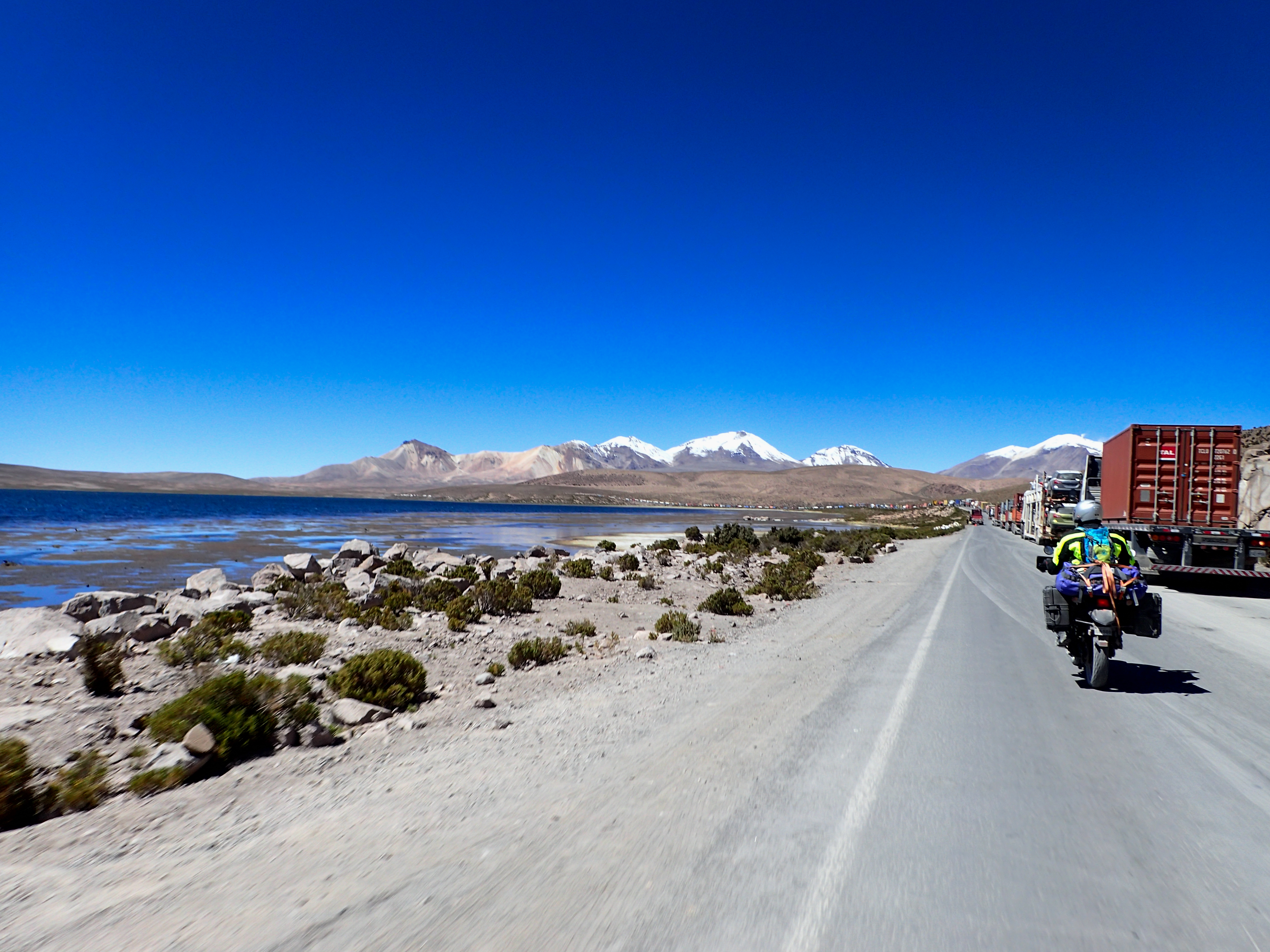
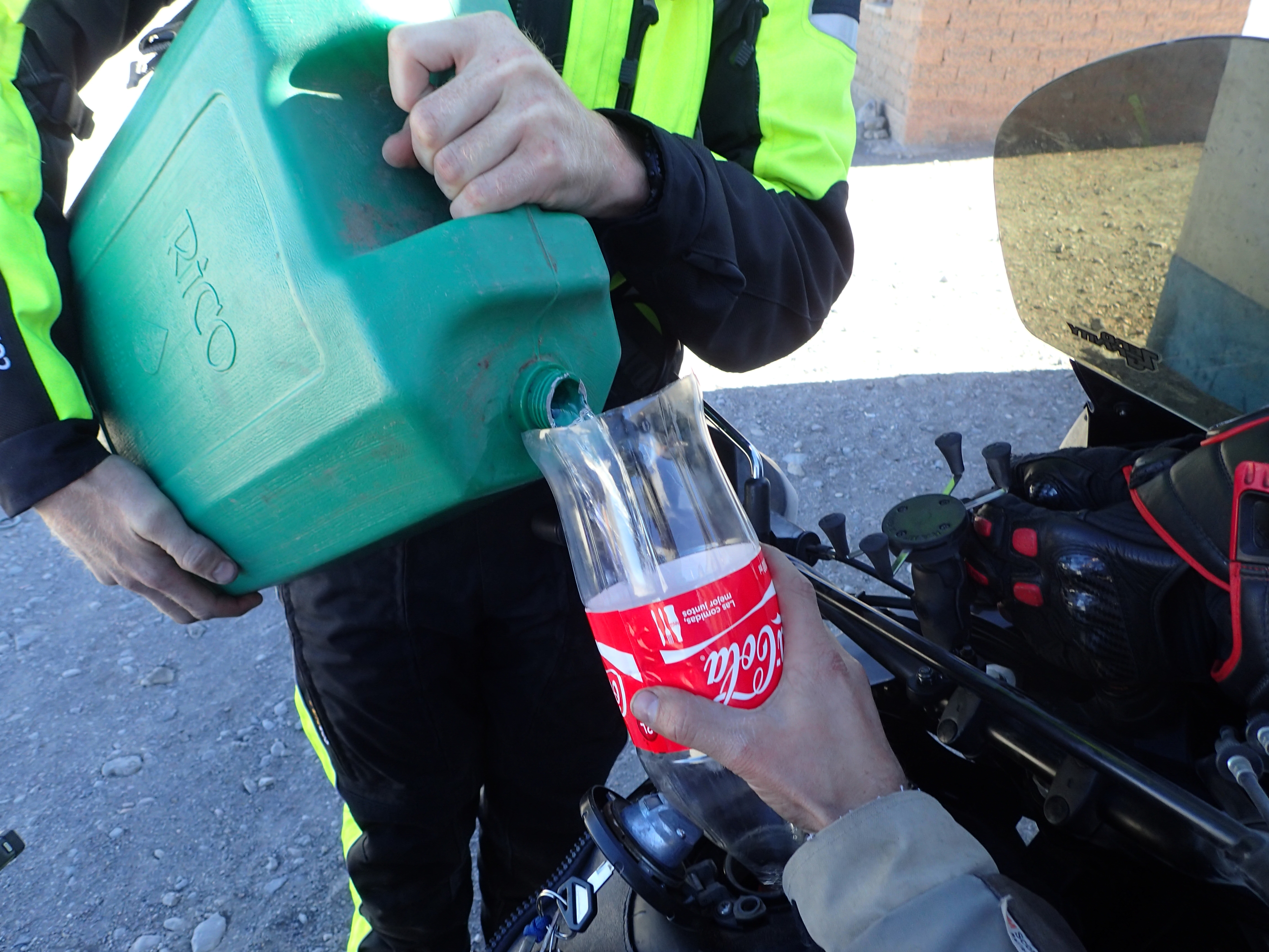
A fairly fun and interesting road from Arica past Chungara lake to the border with Bolivia. One side jaunt to a little town that looked more Bolivian than Chilean. The border crossing at Chungara is a major truck route…the port in Arica to La Paz. The line of trucks was miles long. Border officials told us it was at least a 12 hr wait for the trucks to get through. The Chile side was pretty smooth for me and after I paid the $160 for the Bolivian visa I tried to get the bike through. They said I was missing a document from Chile, after verifying this and riding the 12+ km back to Chile and then back to Bolivia it turns out it was bullshit and they were fishing for a bribe. The second time I got a different set of people and eventually got all the paperwork done. It was a bit of a hassle but nothing outrageous. The gas station Bolivia side was out of gas. The plan was to head south on the dirt roads and camp until we got to Uyuni but we couldn’t find gas. Everyone was telling us the closest place was 180km away in Patacamaya. There wasn’t any gas between Putre and the border so neither of us had gas to make it there. We stopped at a couple different strips of restaurant type roadside deals that didn’t seem promising but at one we found 20l of gas for $17…not bad. That got us to Patacamaya, which when we finally arrived we were spent. The hotels there were very basic…the one we stayed at literally didn’t have a shower but it had beds and secure parking. 9+hrs in the saddle…mostly boring riding…wouldn’t recommend this route.


0 comments:
Post a Comment