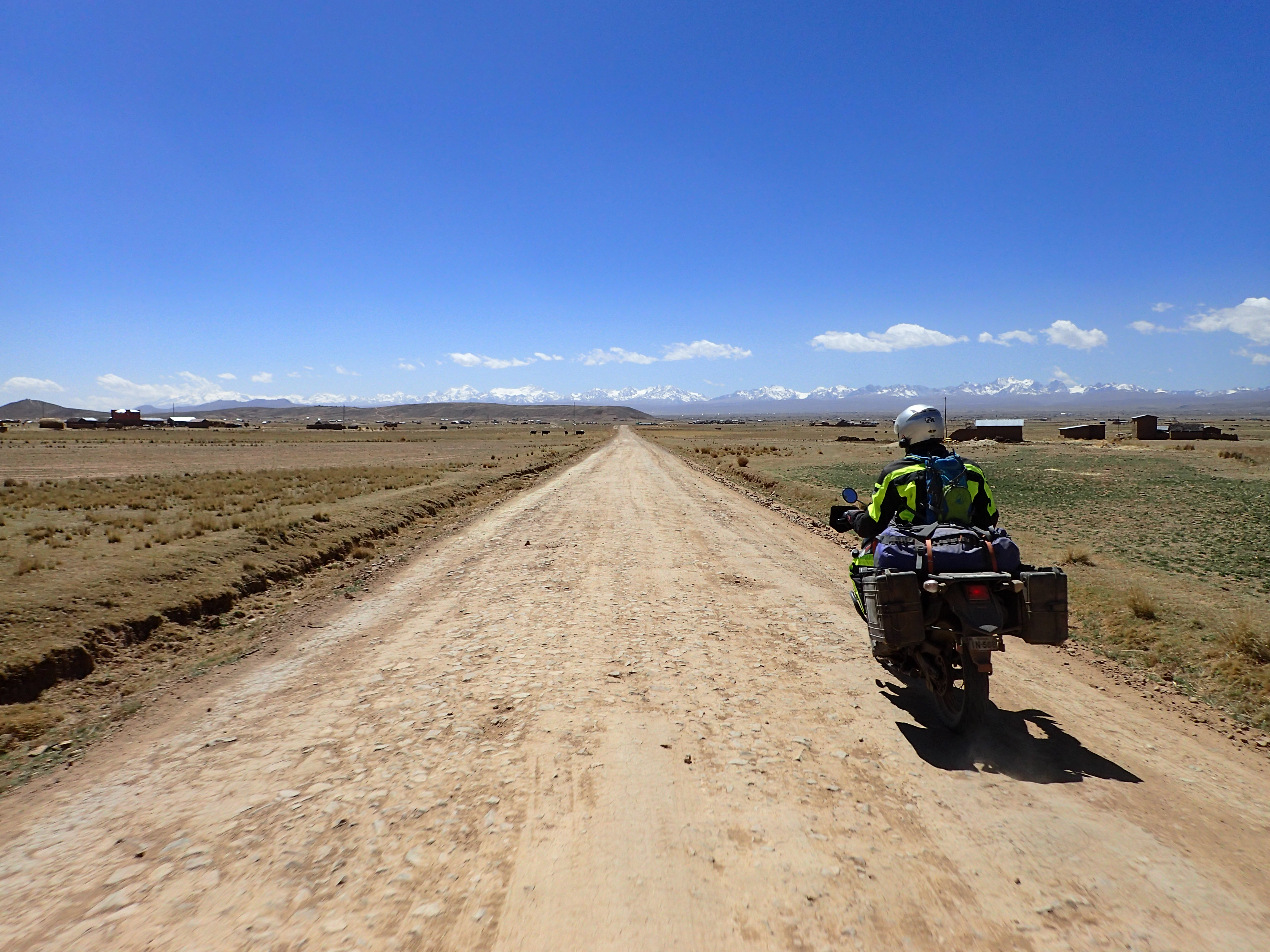
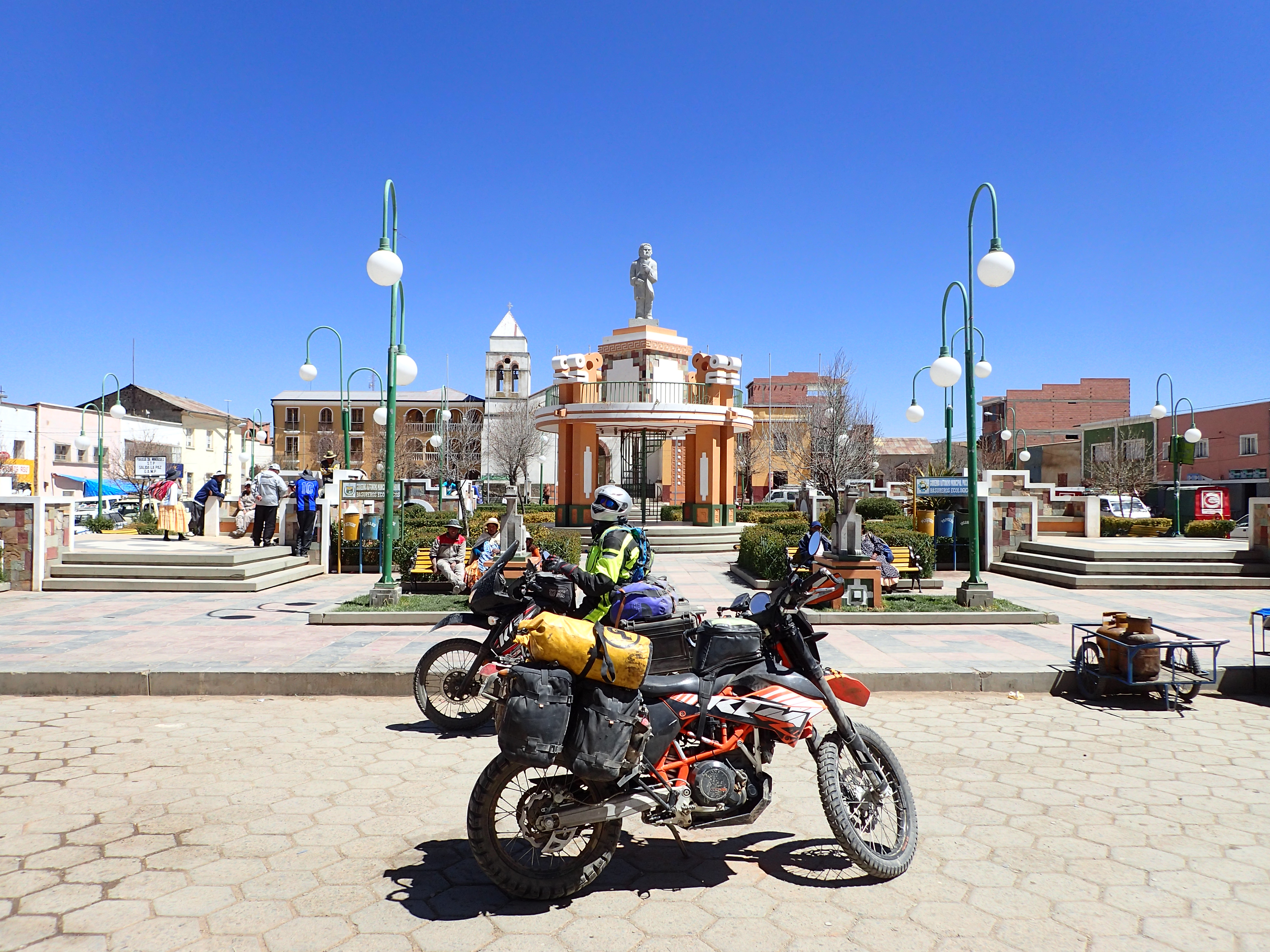
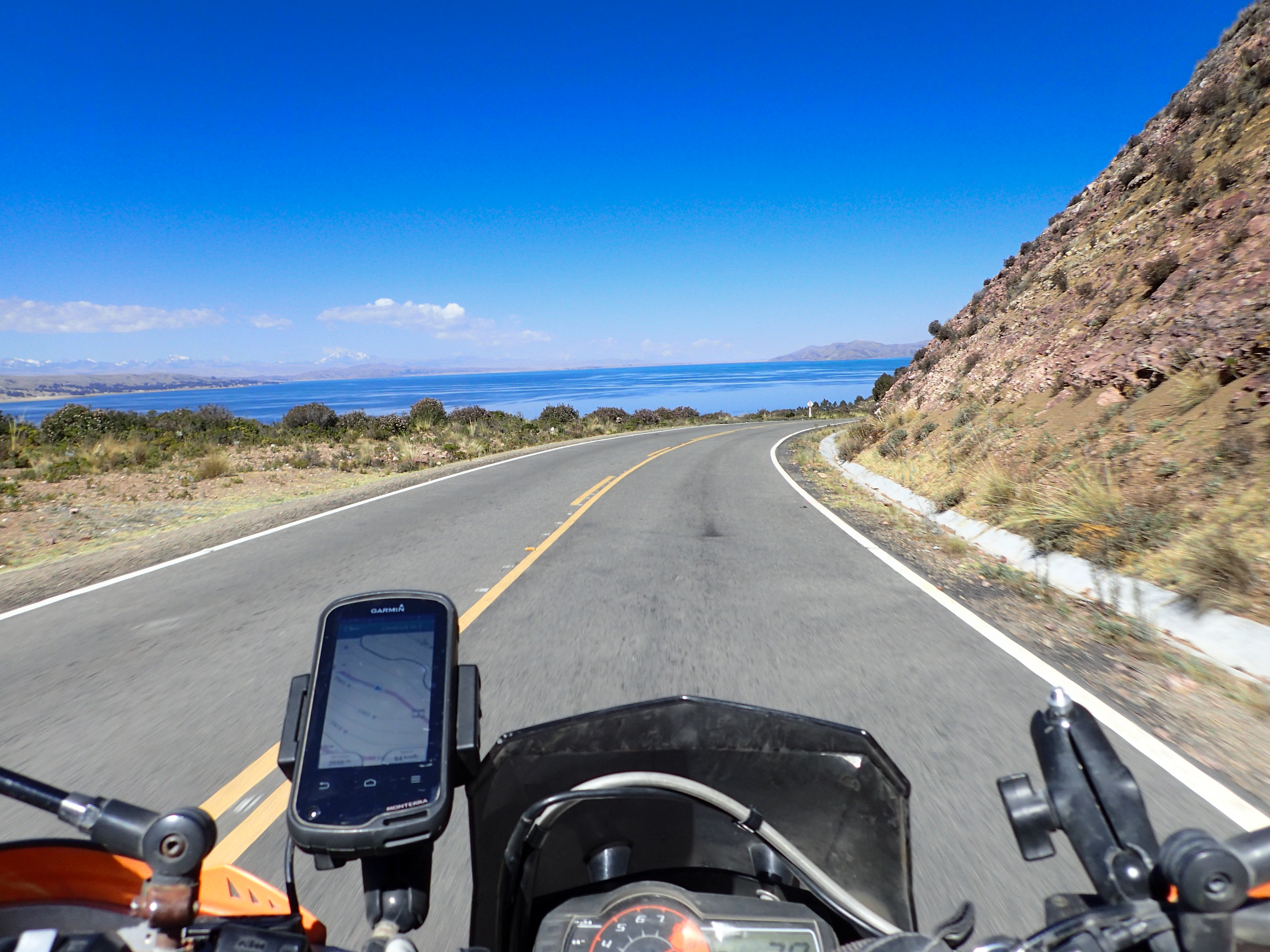
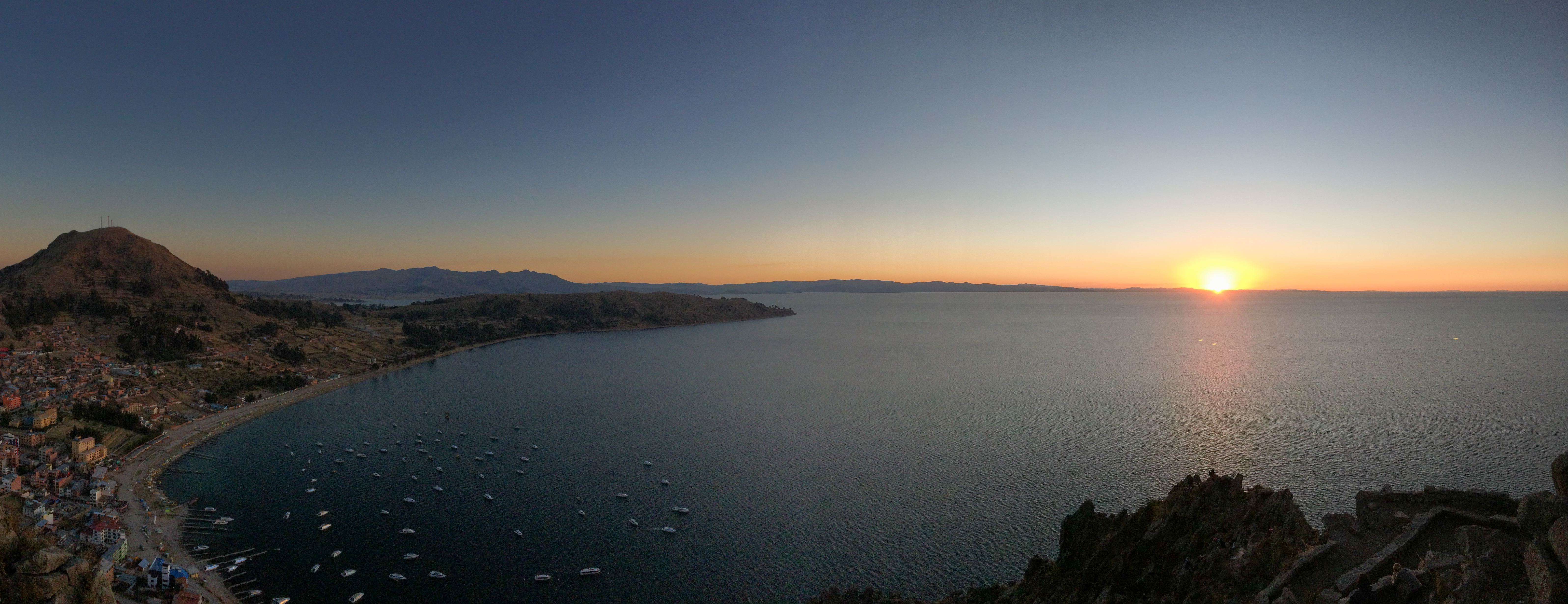
The gas station in Patacamaya didn’t have power or any people at it so we had to push on again not finding gas. The next 2 gas stations would be out of gasoline and only have diesel. Starting to worry about Bolivia…a major route to La Paz and no gas for hundreds of miles. The KLR flipped over to reserve and luckily we found a gas station that had gas. There is apparently two prices for gas…one for Bolivians and one for Foreigners. Butwe were able to negotiate for a better “foreigner price” by telling him we didn’t need a receipt. Some dirt roads through some farms but mostly main highway towards La Paz and then a nice paved road that road along Lake Titicaca. Copacabana is a nice little lake town…much nicer than the Peruvian equivalent of Puno.


0 comments:
Post a Comment