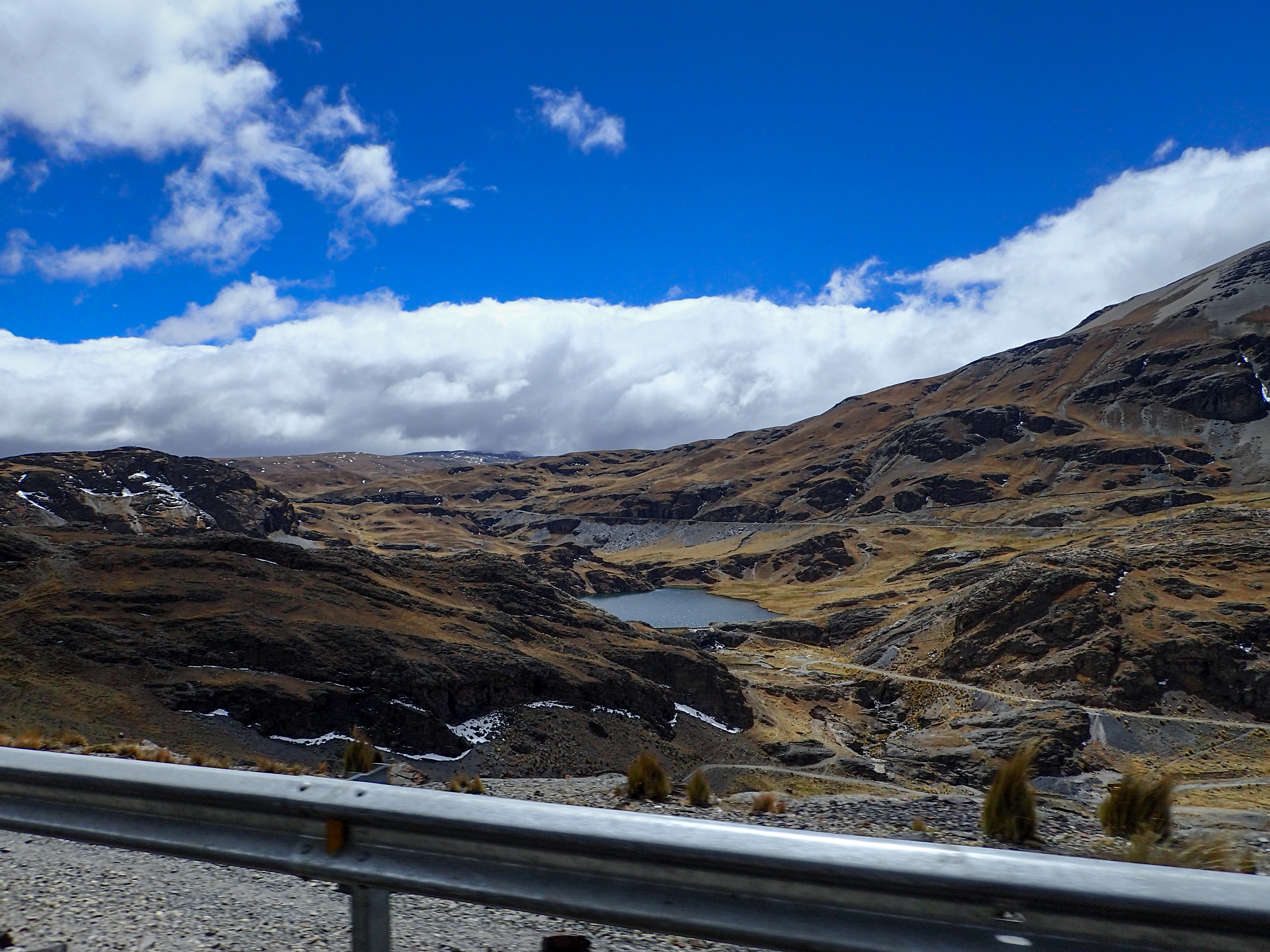
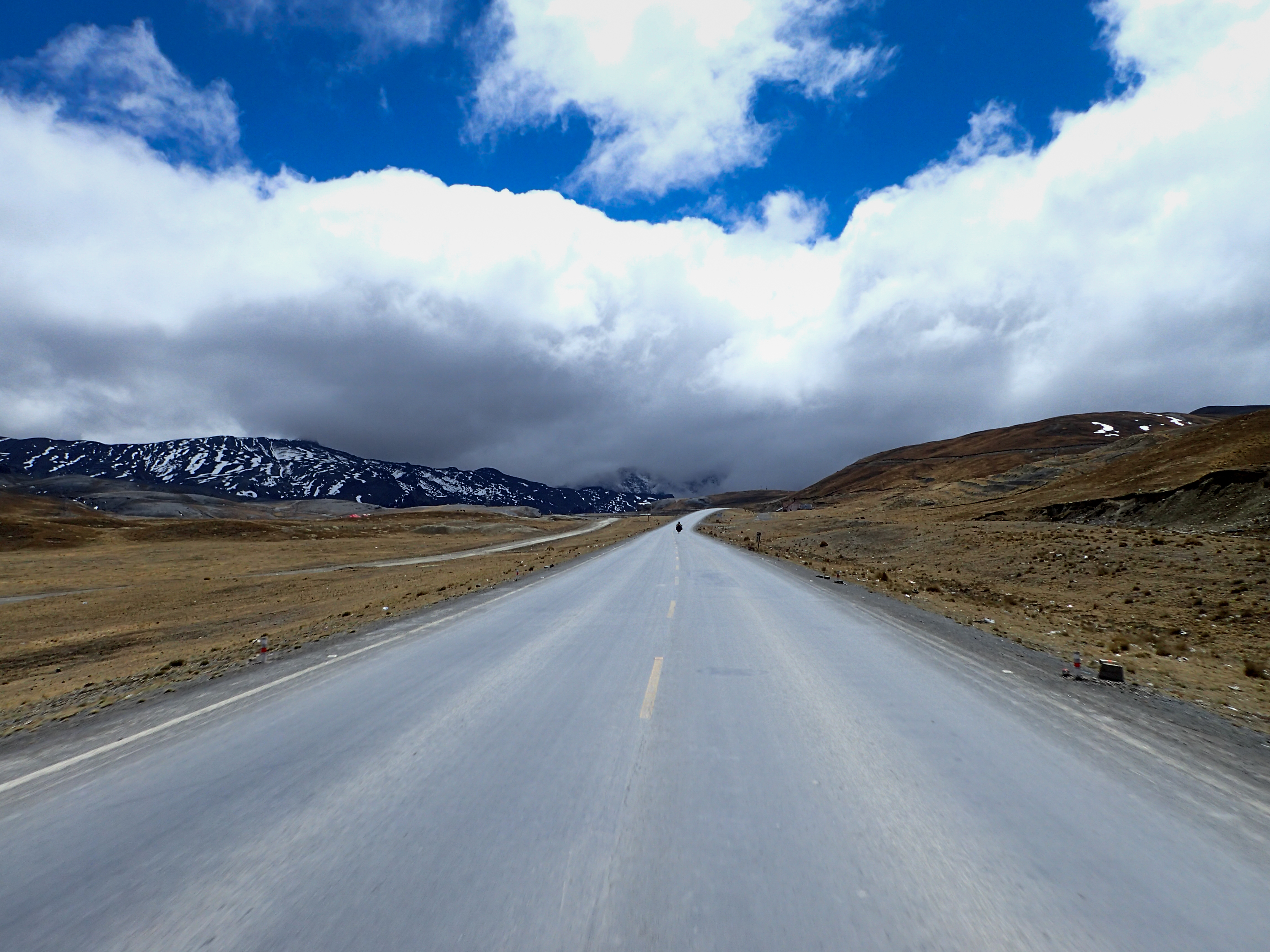
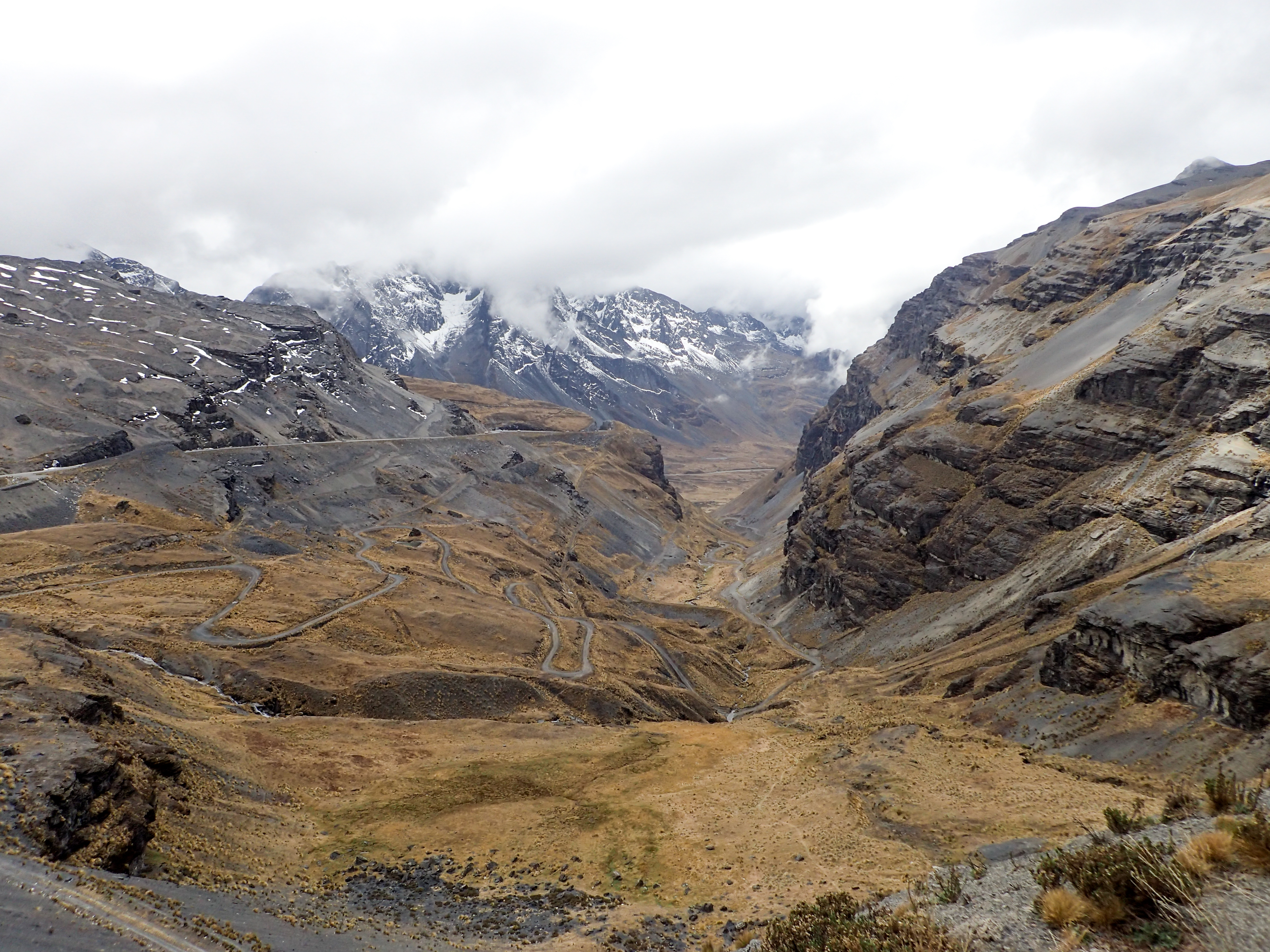
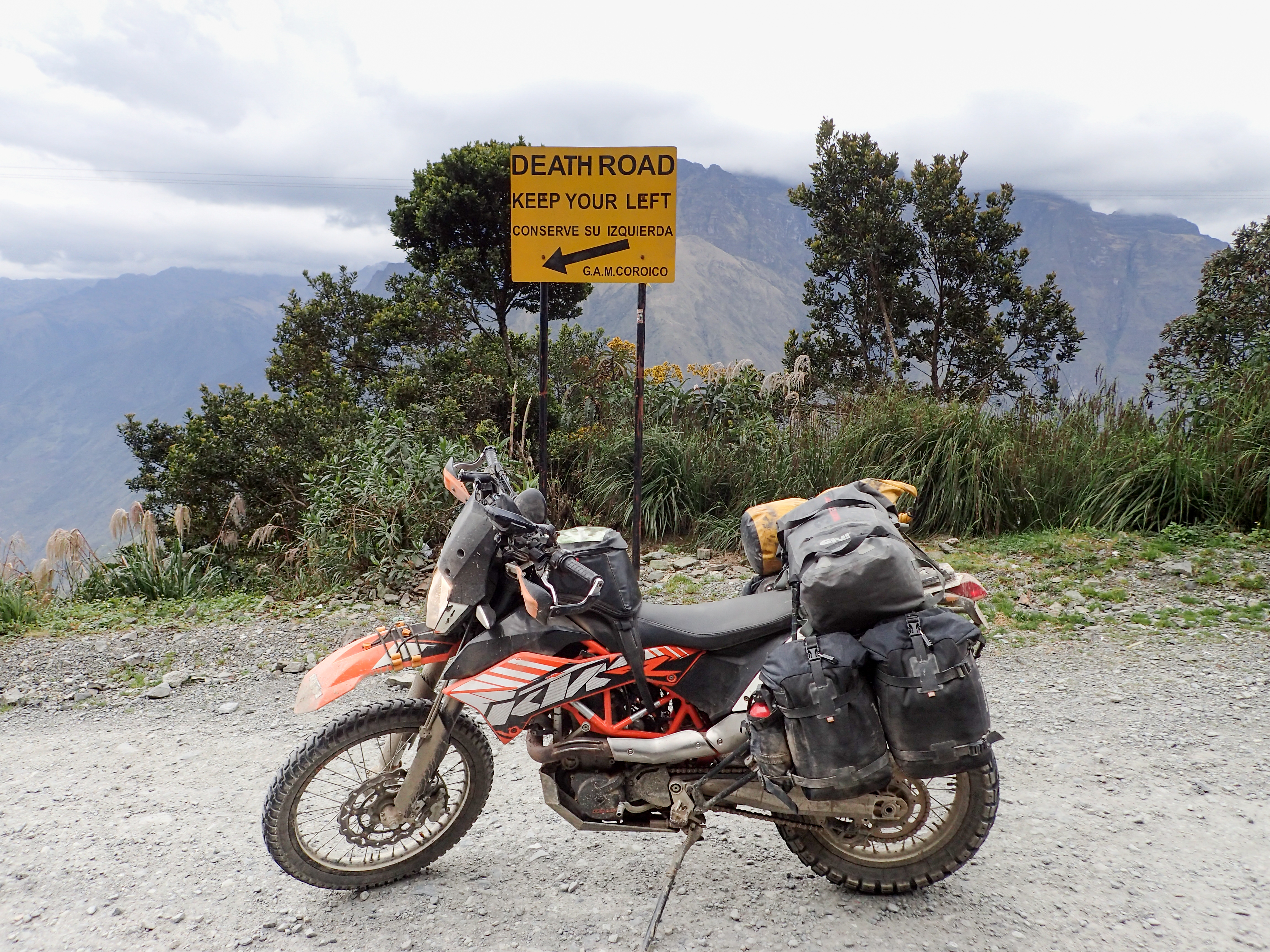
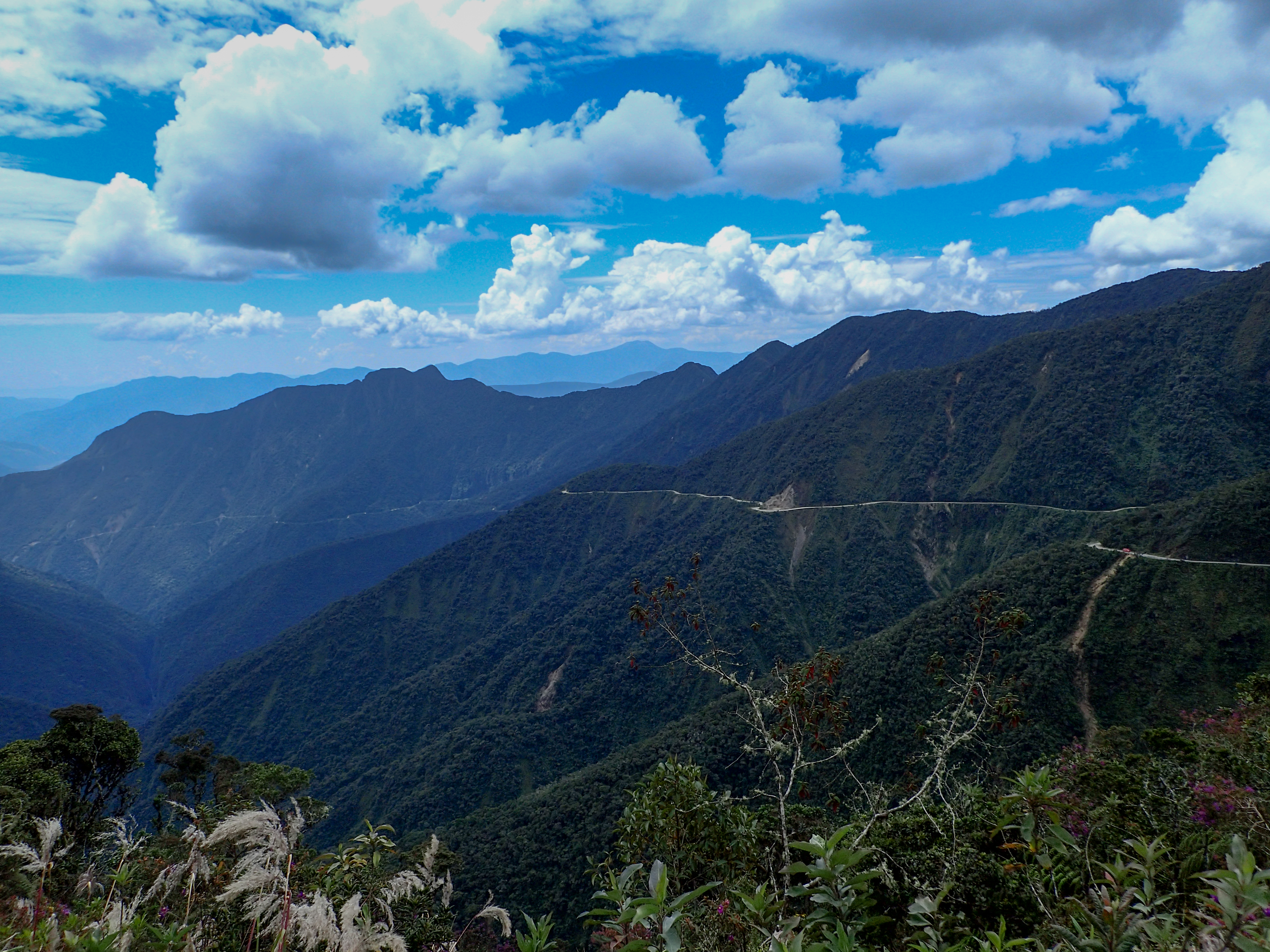
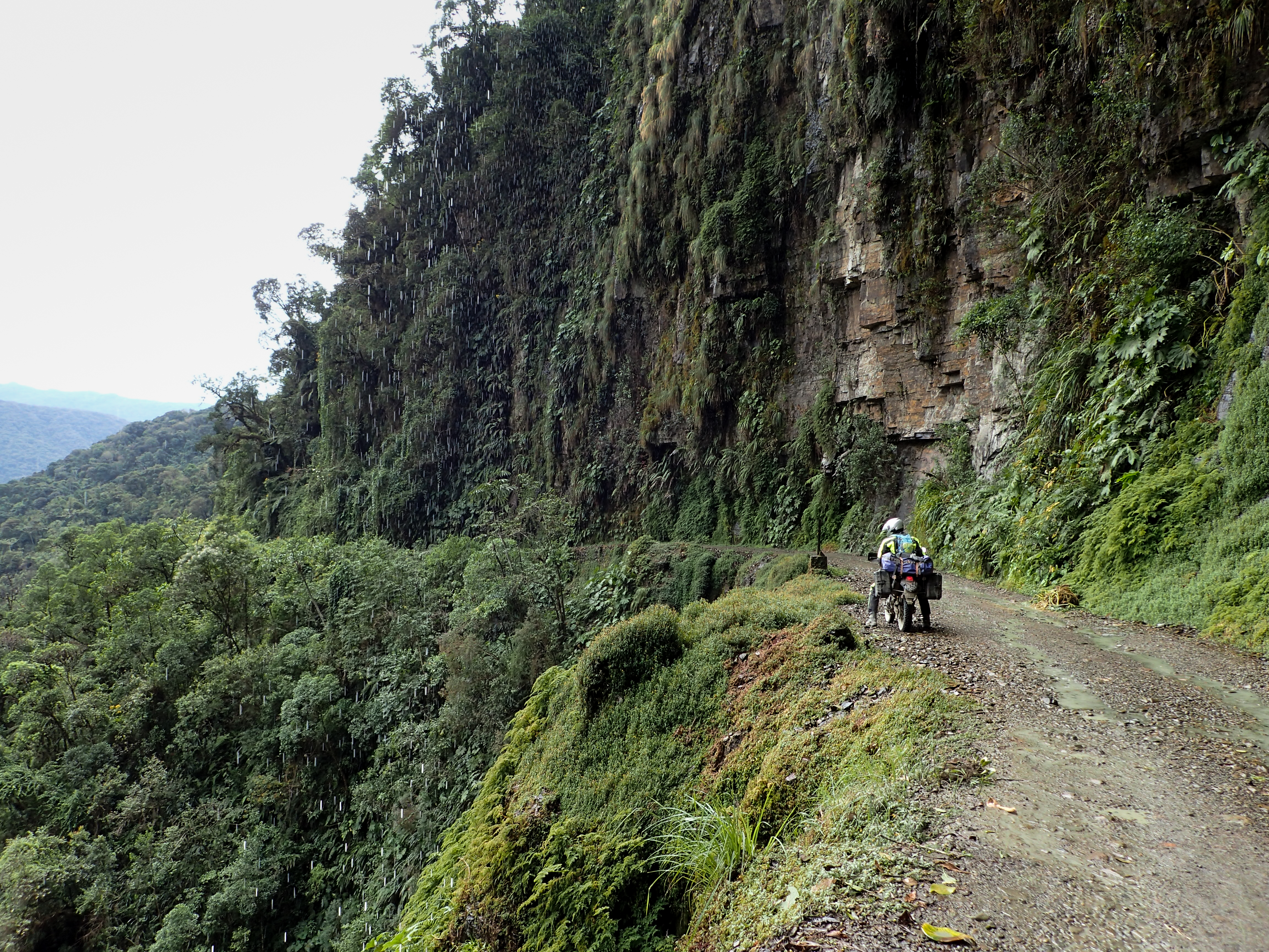
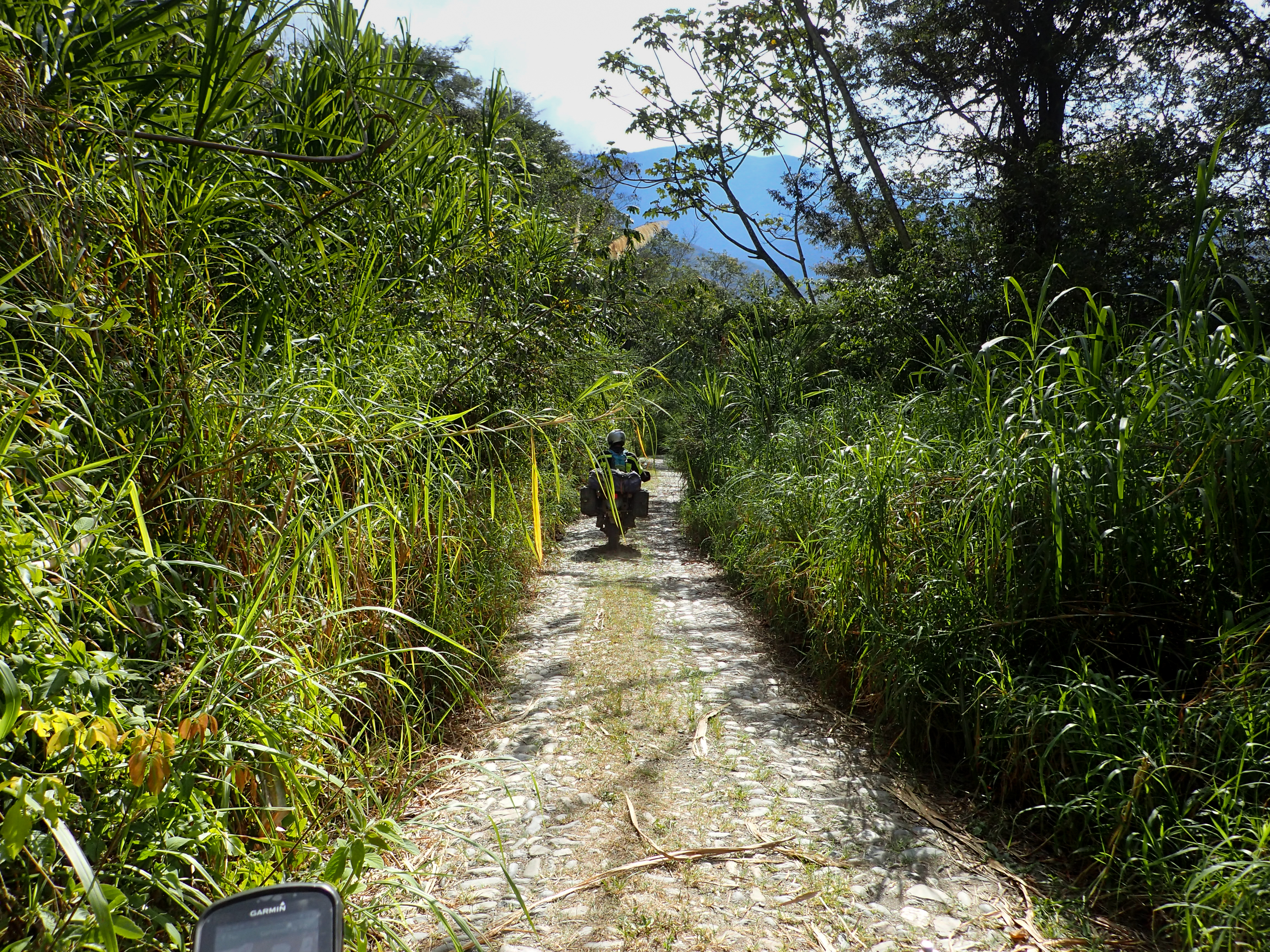
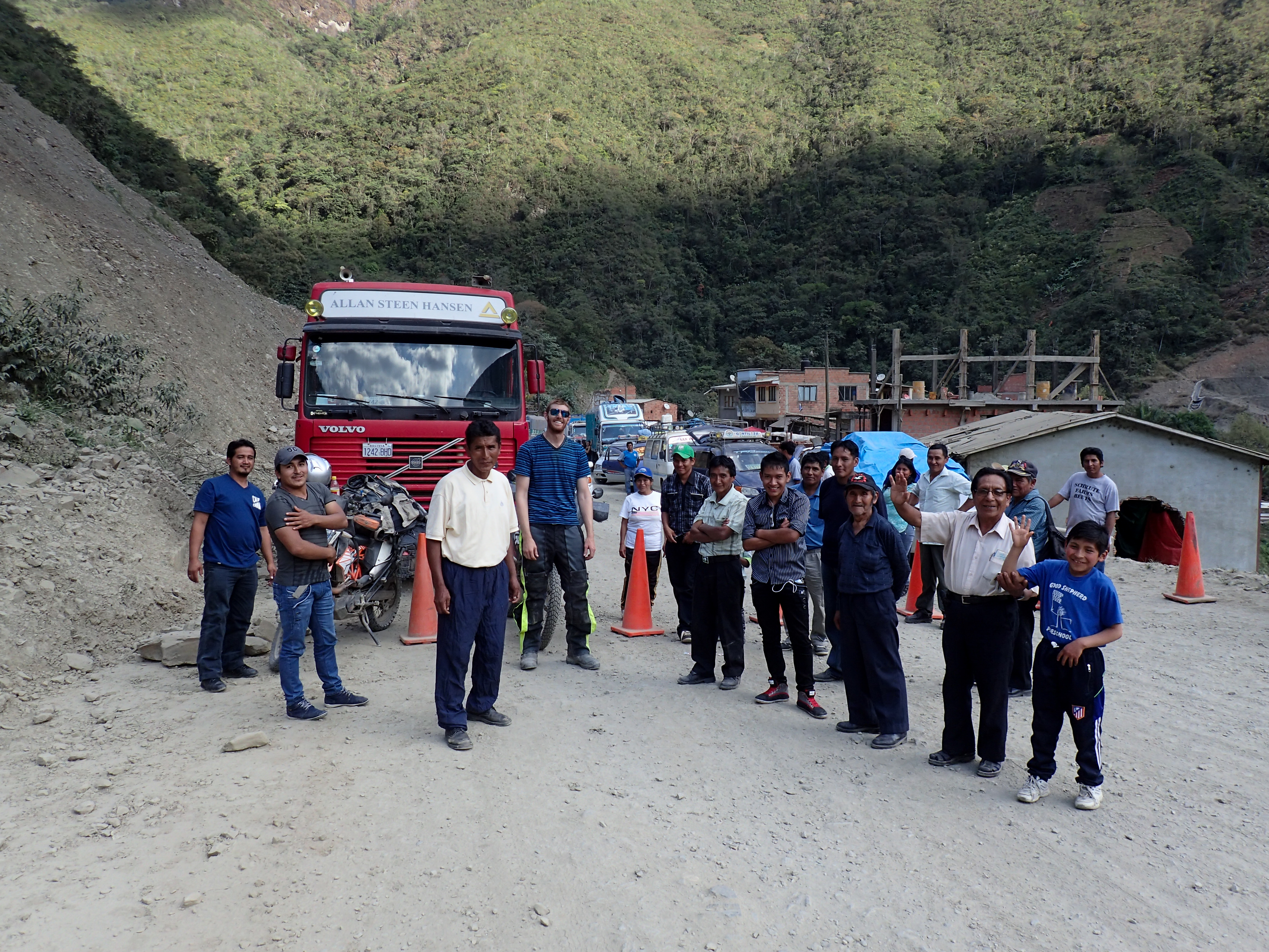
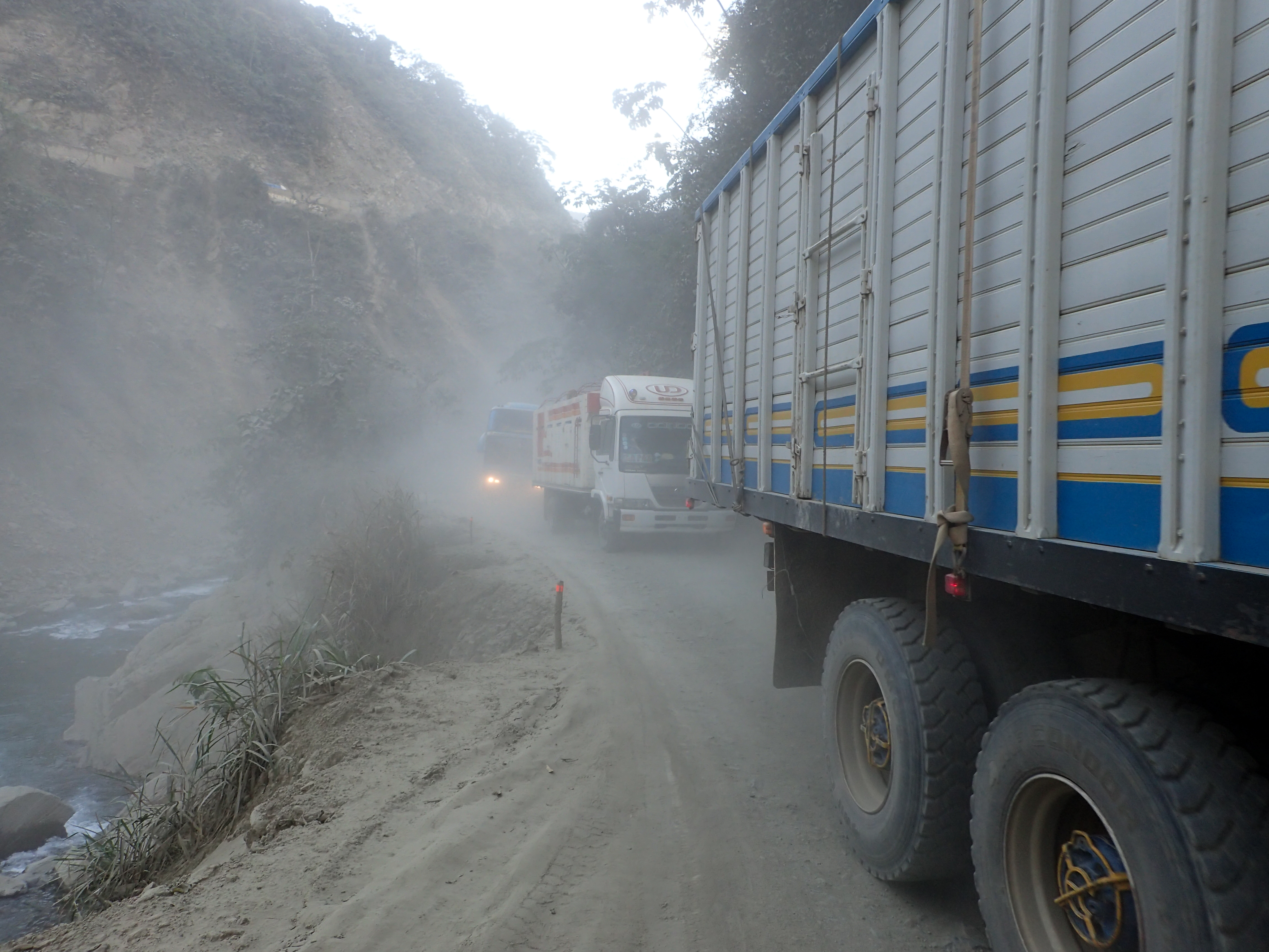
Riding out of La Paz to the famous death road. Turns out the death road is not very death-y, it’s been repaired and widened, there are even guard rails and has very little traffic except for a couple mountain bikers and local smallish trucks and vans. It was a pretty road and kind of cool but not sure it’s worth the toll price. We got to Corioco for lunch and after decided to try and get to Caranavi, the next big town at the edge of the jungle. To get there you take the next section of the original death road which actually is quite dangerous and not in a fun way. The road was dusty and bumpy and switched between paved and dirt as often as the direction of travel changes. The direction of travel changes depending on which side of the road has the cliff. Needless to say when we got to Caranavi we were ready to stop. In the process of looking for a hotel I was turning my bike on and off, it seemed like it was starting hard and running rough, all signs of a valve clearance issue. After we found a hotel I popped my valve cover to make sure everything was in order. Everything looked good but the battery was reading a little weak. I went to look for a new battery but couldn’t find one, instead, I found a place to charge it. In the morning I checked the valves cold and got the bike together before heading off.


0 comments:
Post a Comment