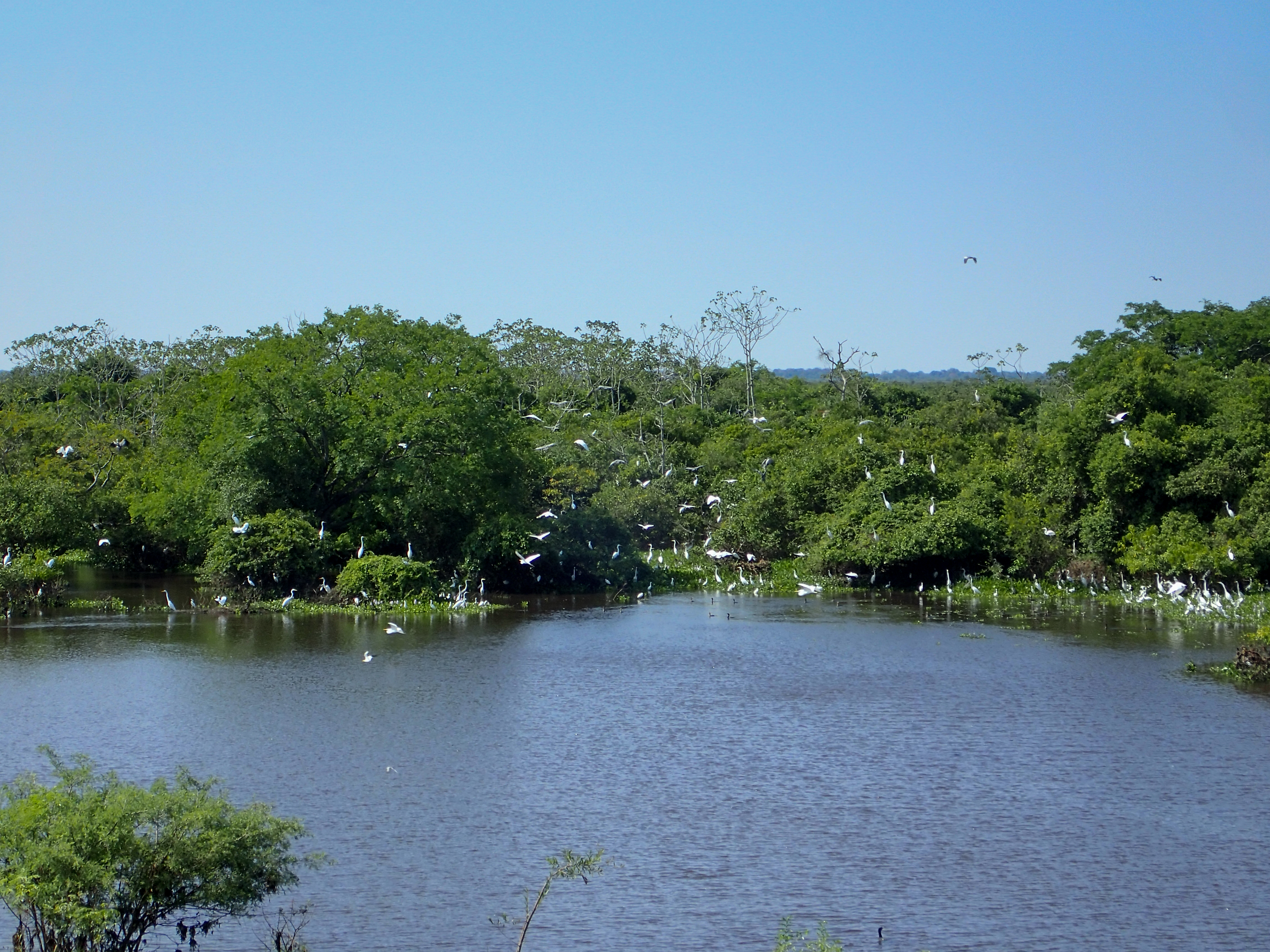
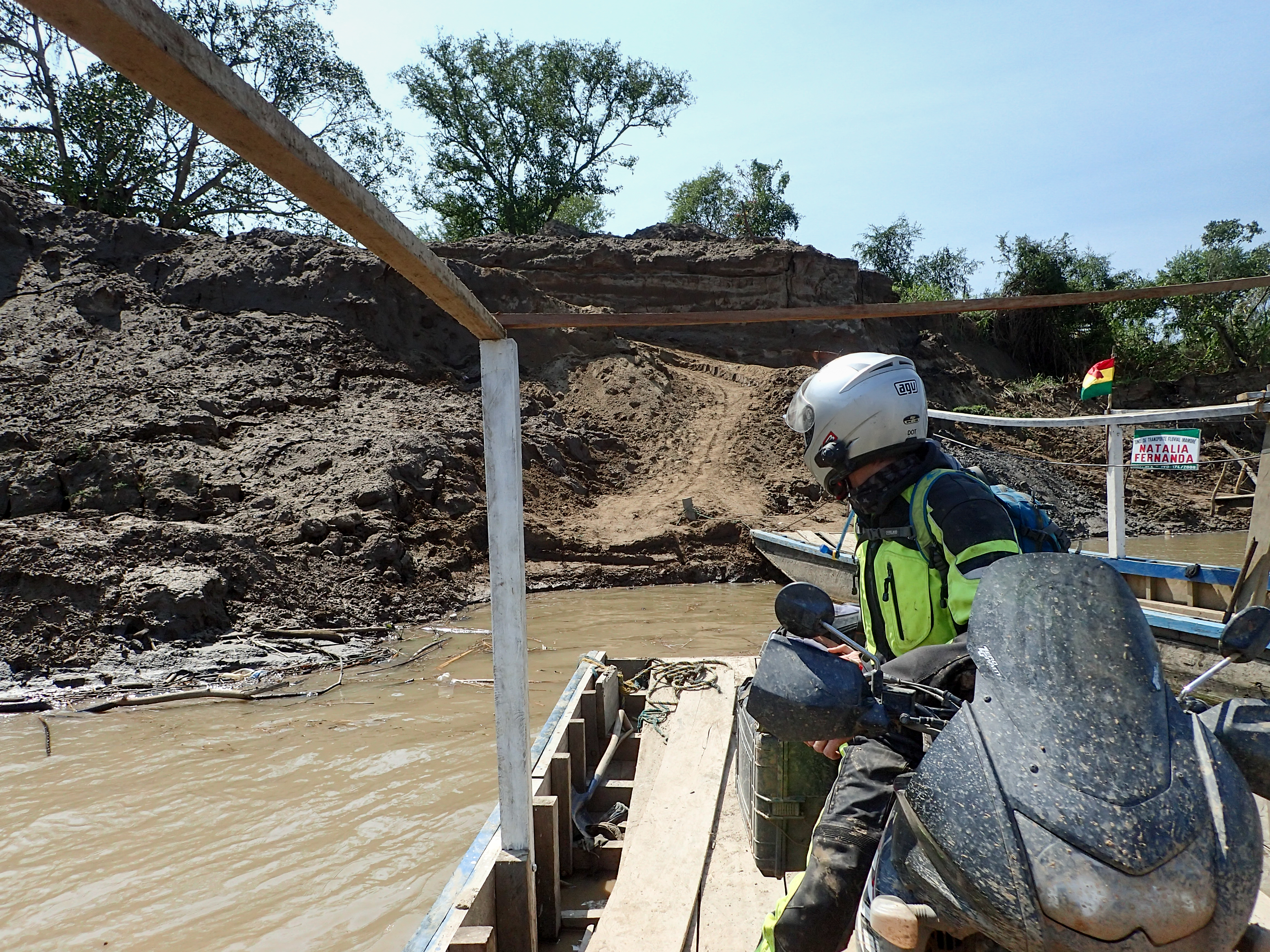
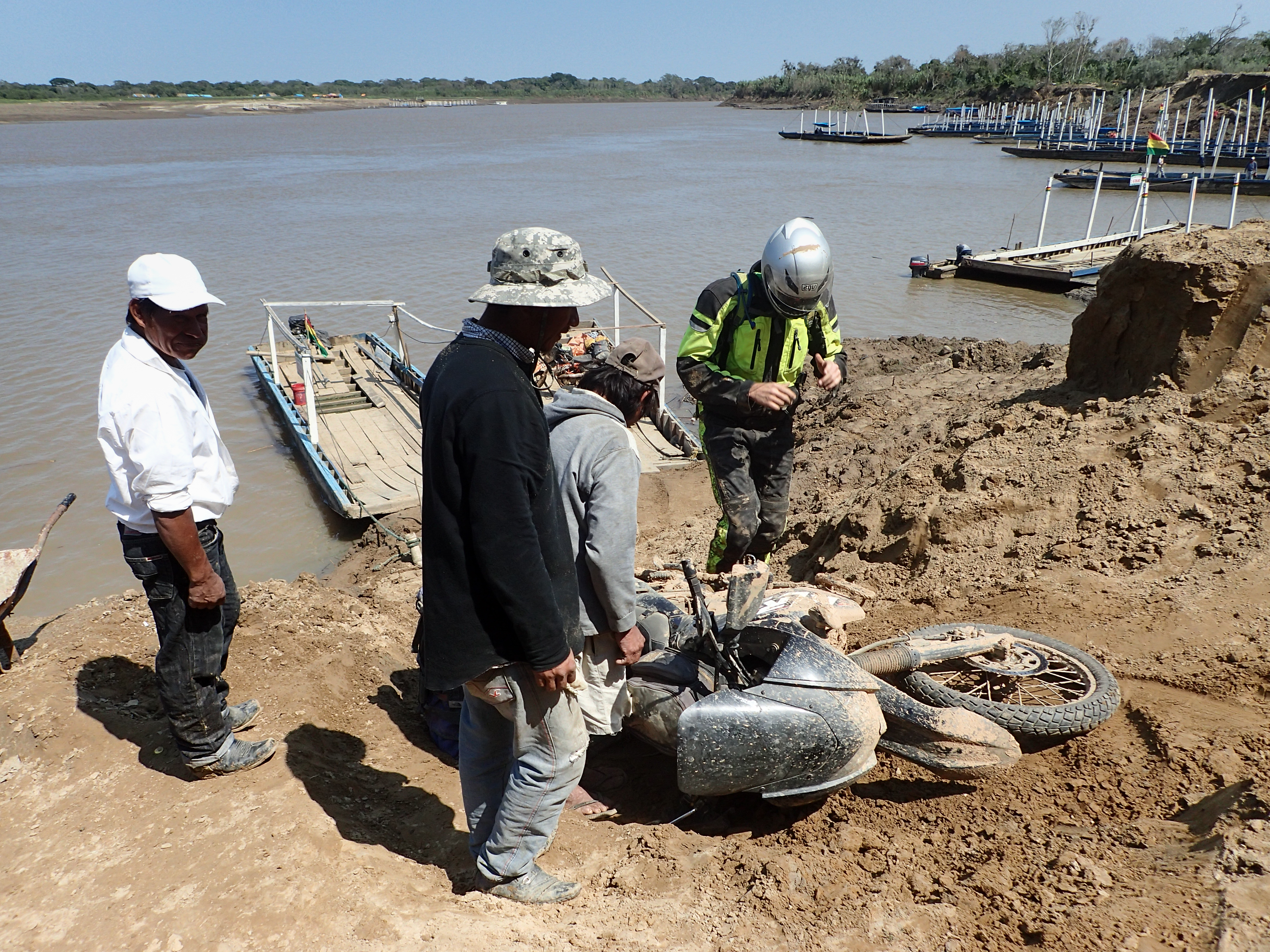
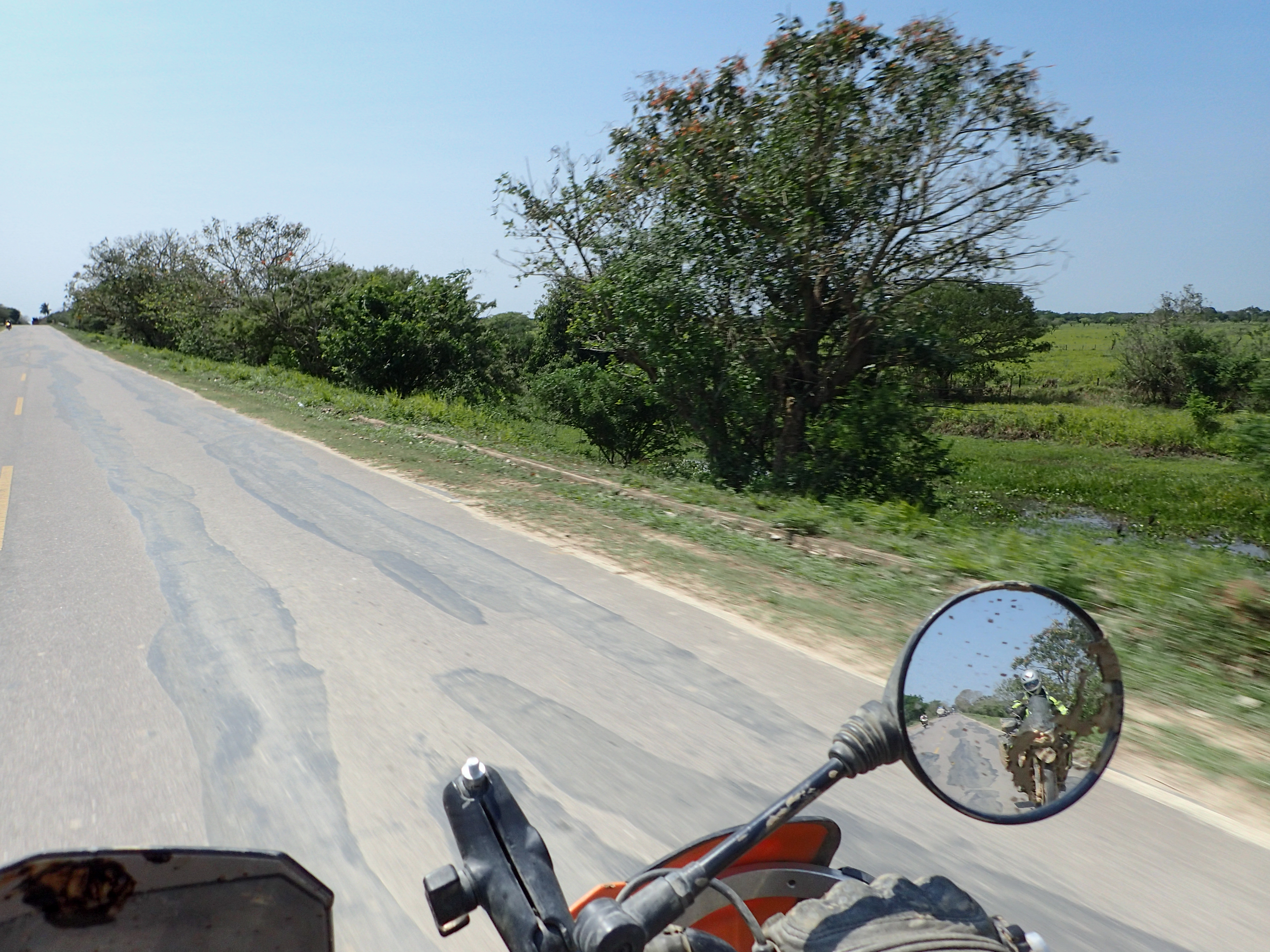
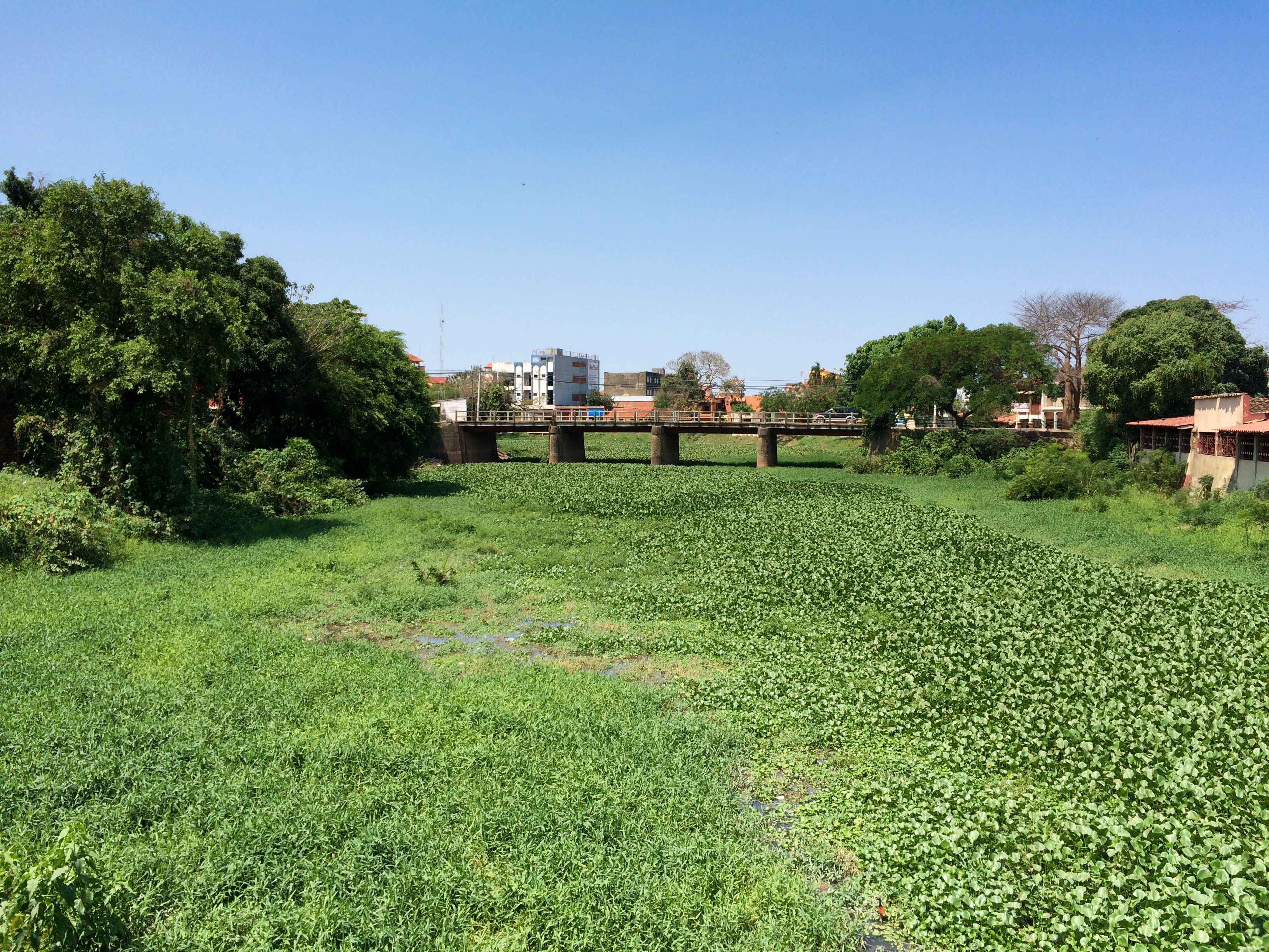
Better conditions today, almost no mud. However, there was an interesting ferry crossing where the entry and exit points were steep narrow and dirt. The exit ramp was especially hairy with a ned in the middle of it to add to everything. Tucker had trouble taking the bend and his front wheel ended up on a higher level then the rear before he looped it. Luckily both he and the bike ended up fine. There were beautiful lagoons and wet lands all around the road filled with white birds. We hit Trinidad before noon excited to have a good portion of the day to rest and relax still sore from yesterdays mud adventure.


0 comments:
Post a Comment