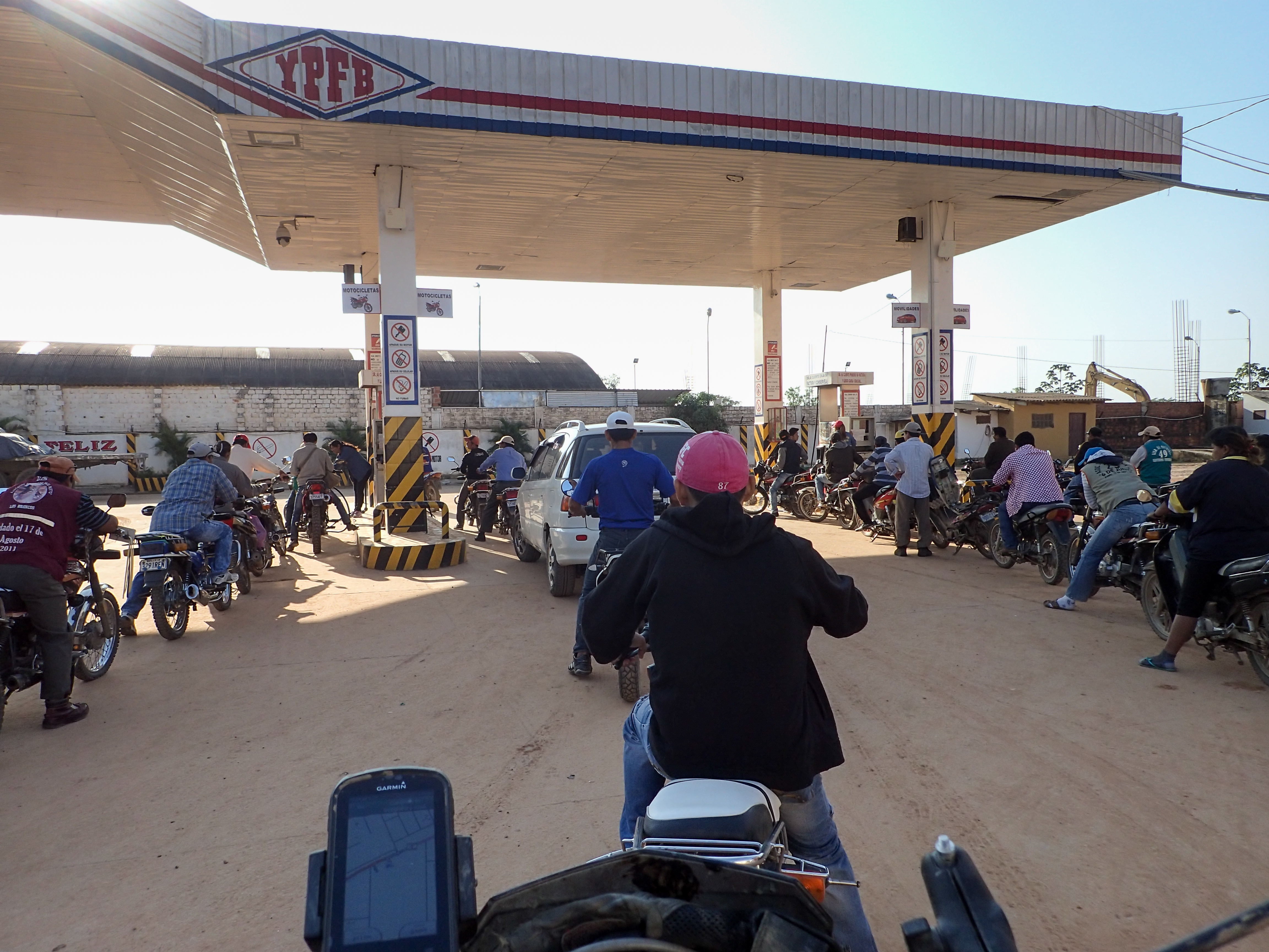
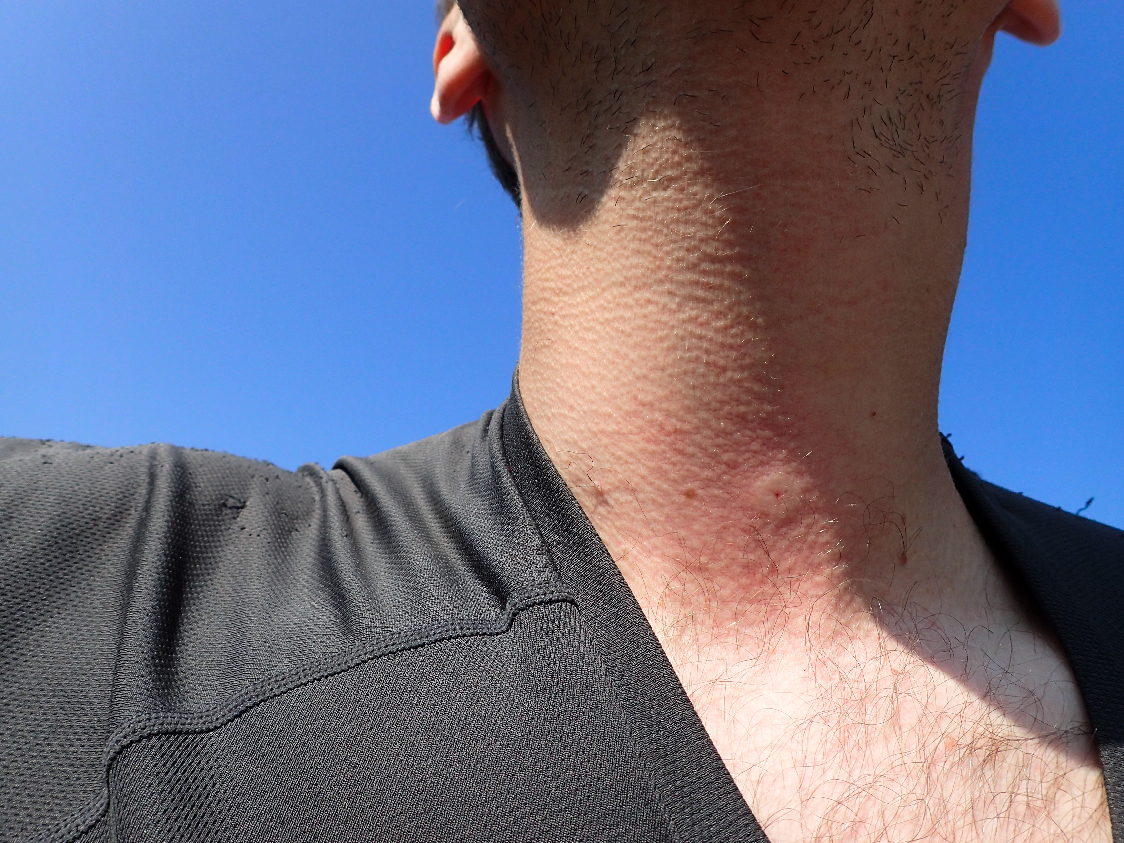
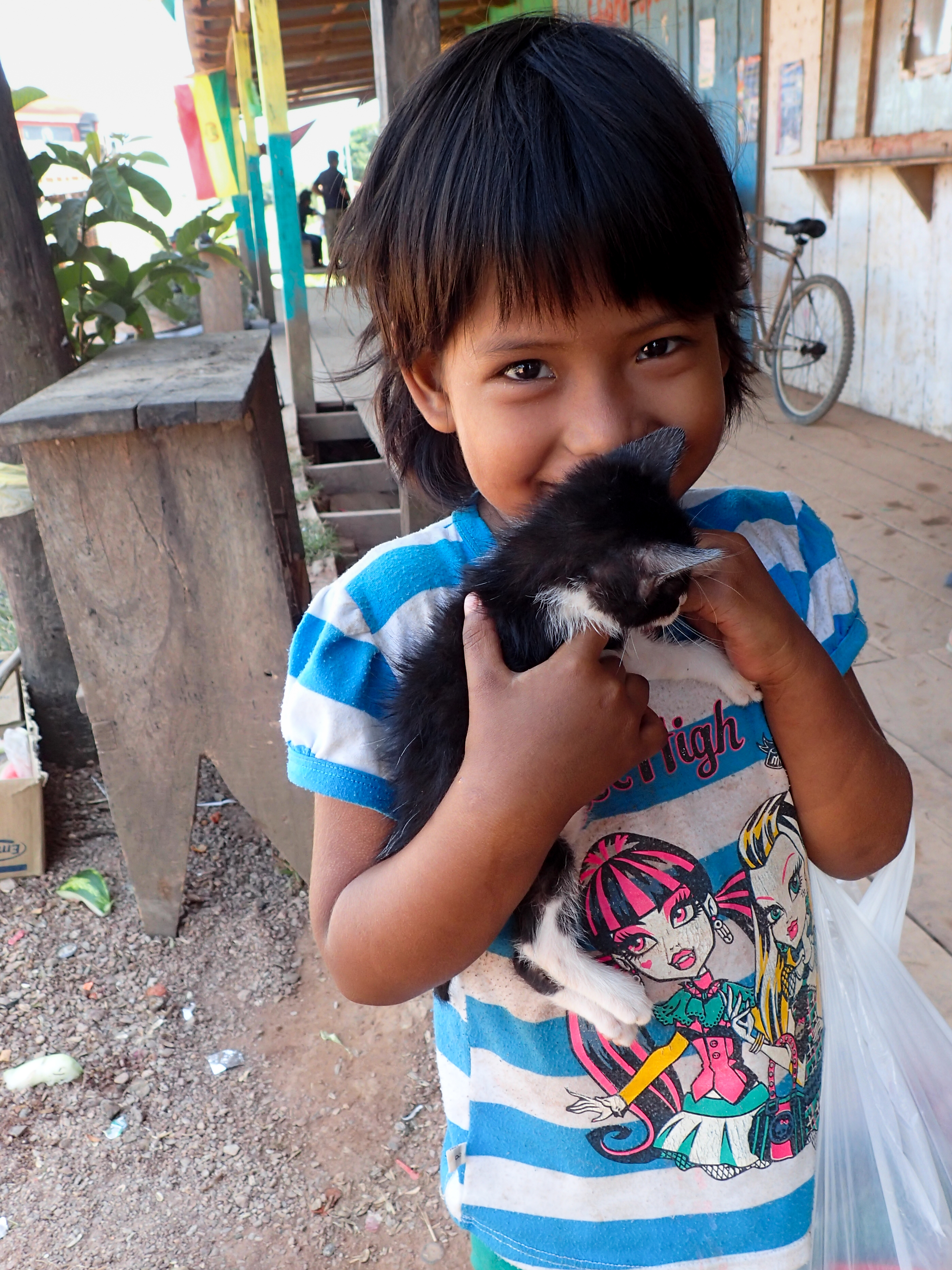
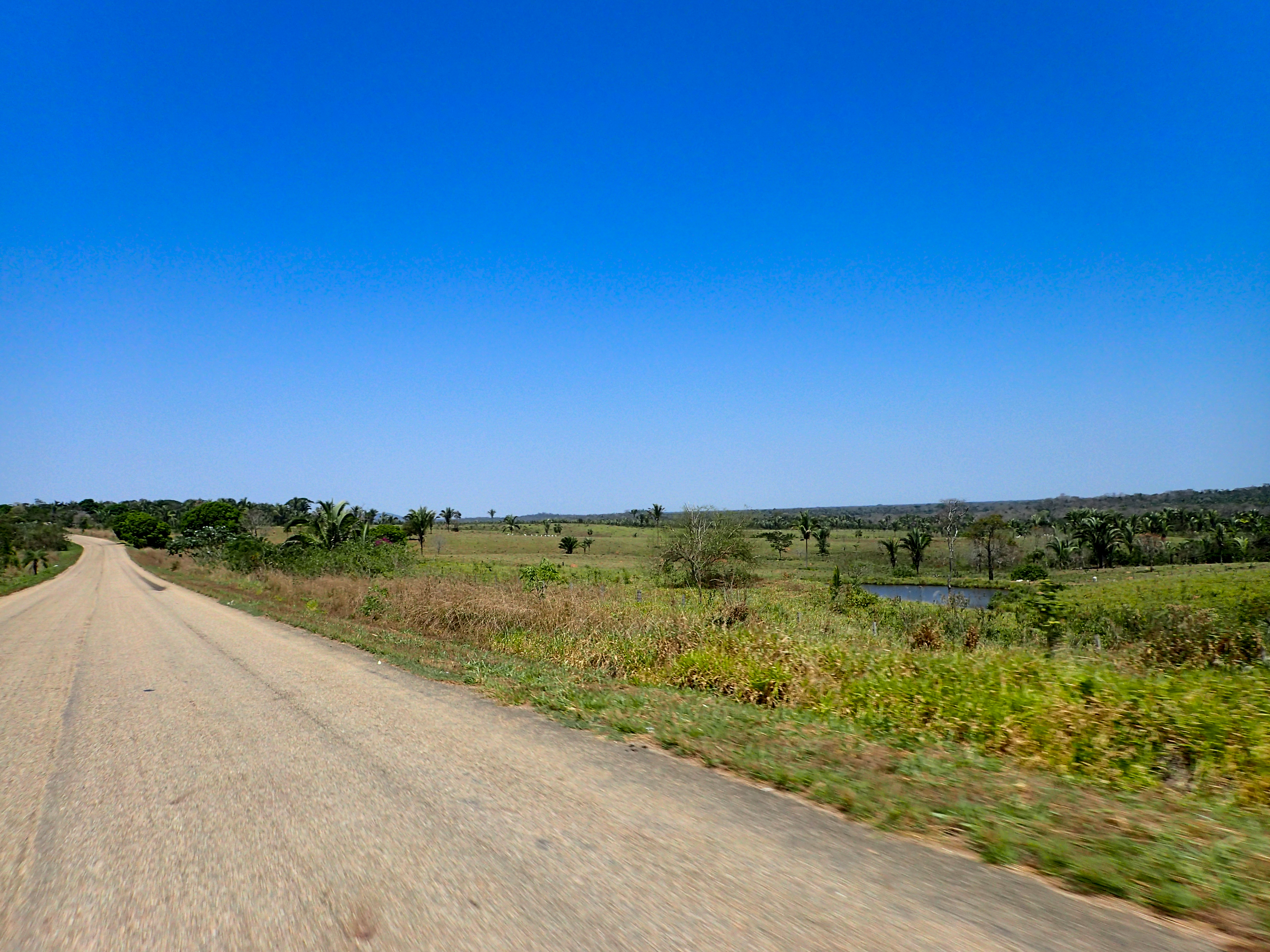
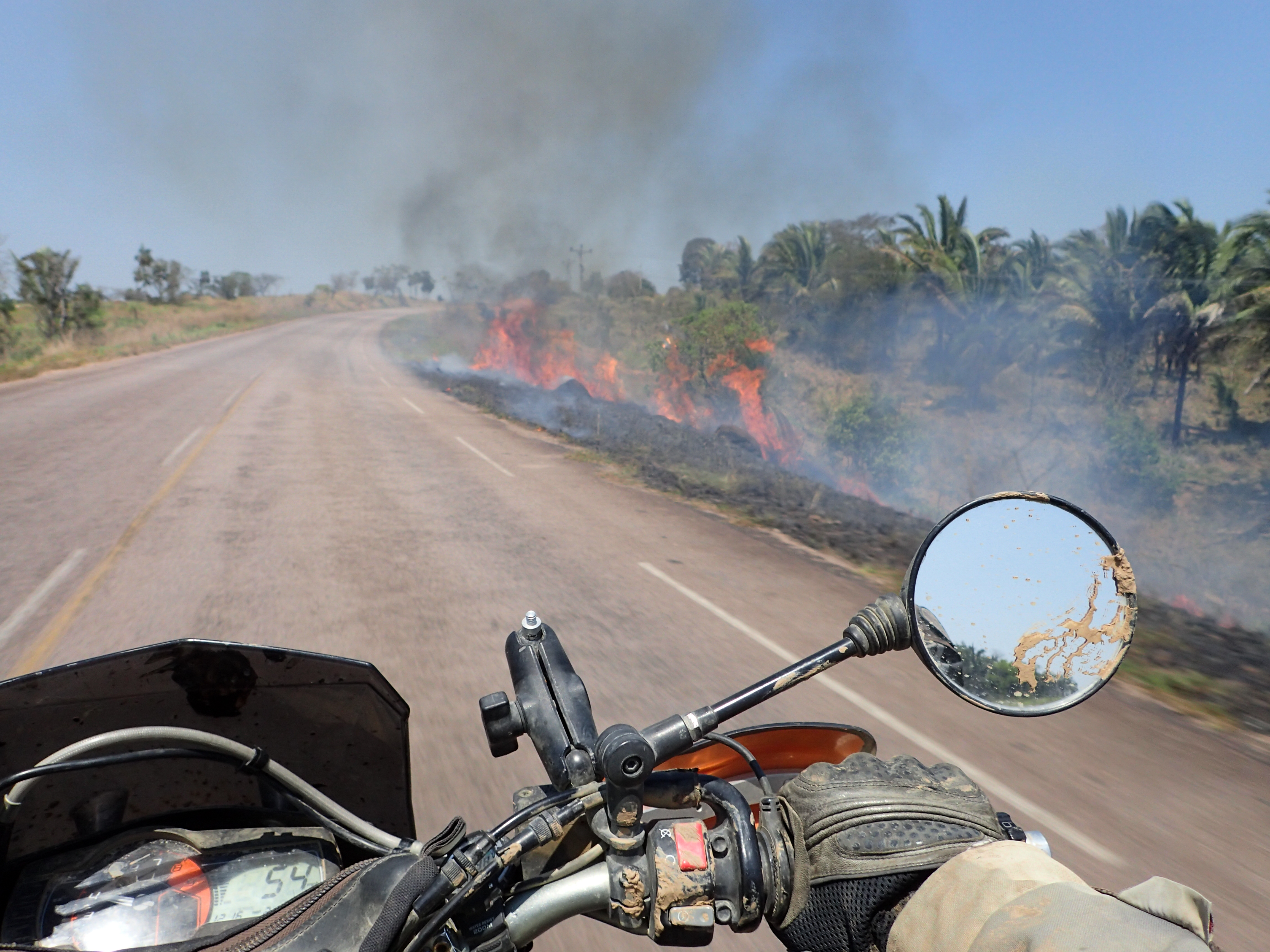
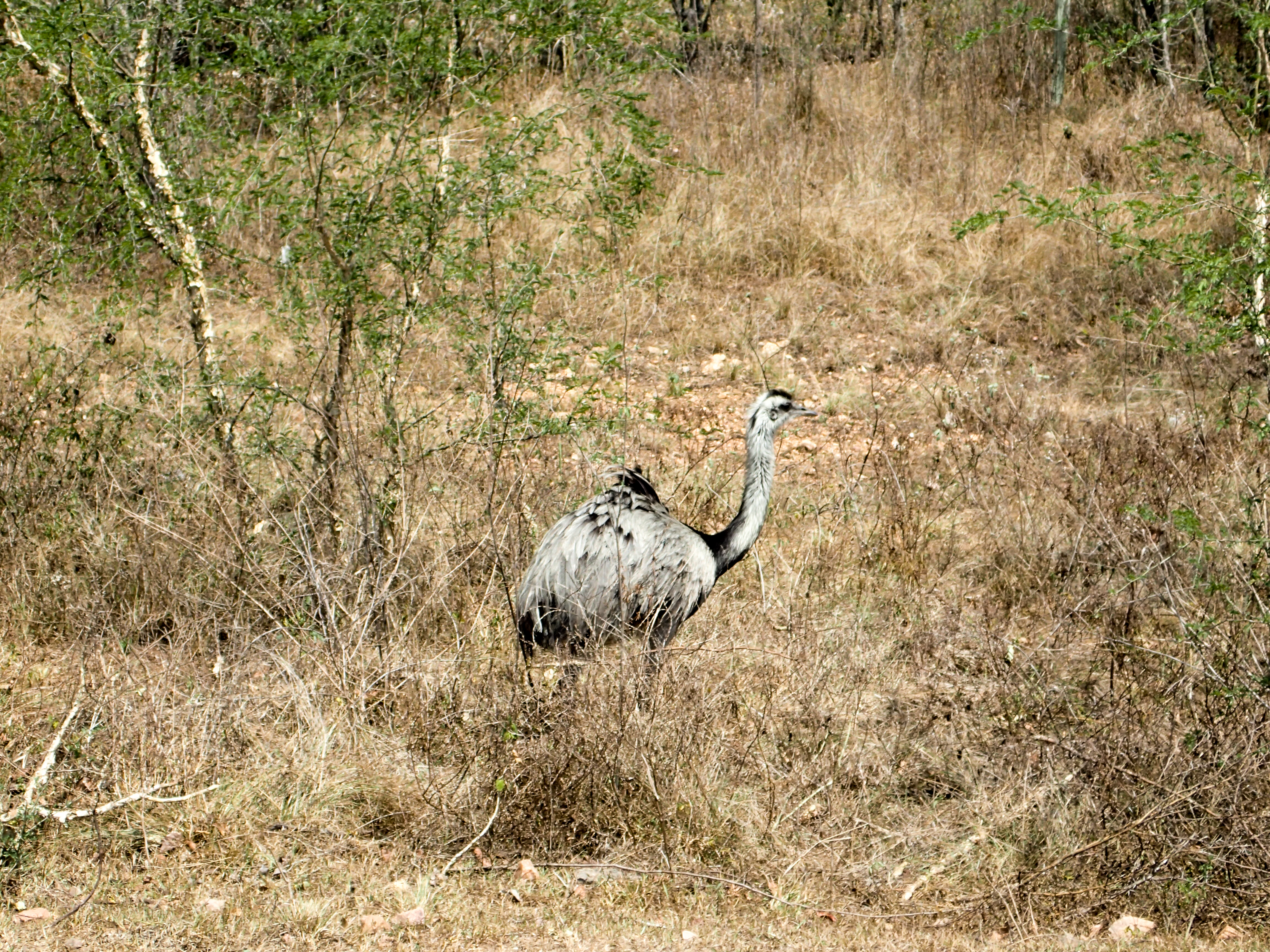
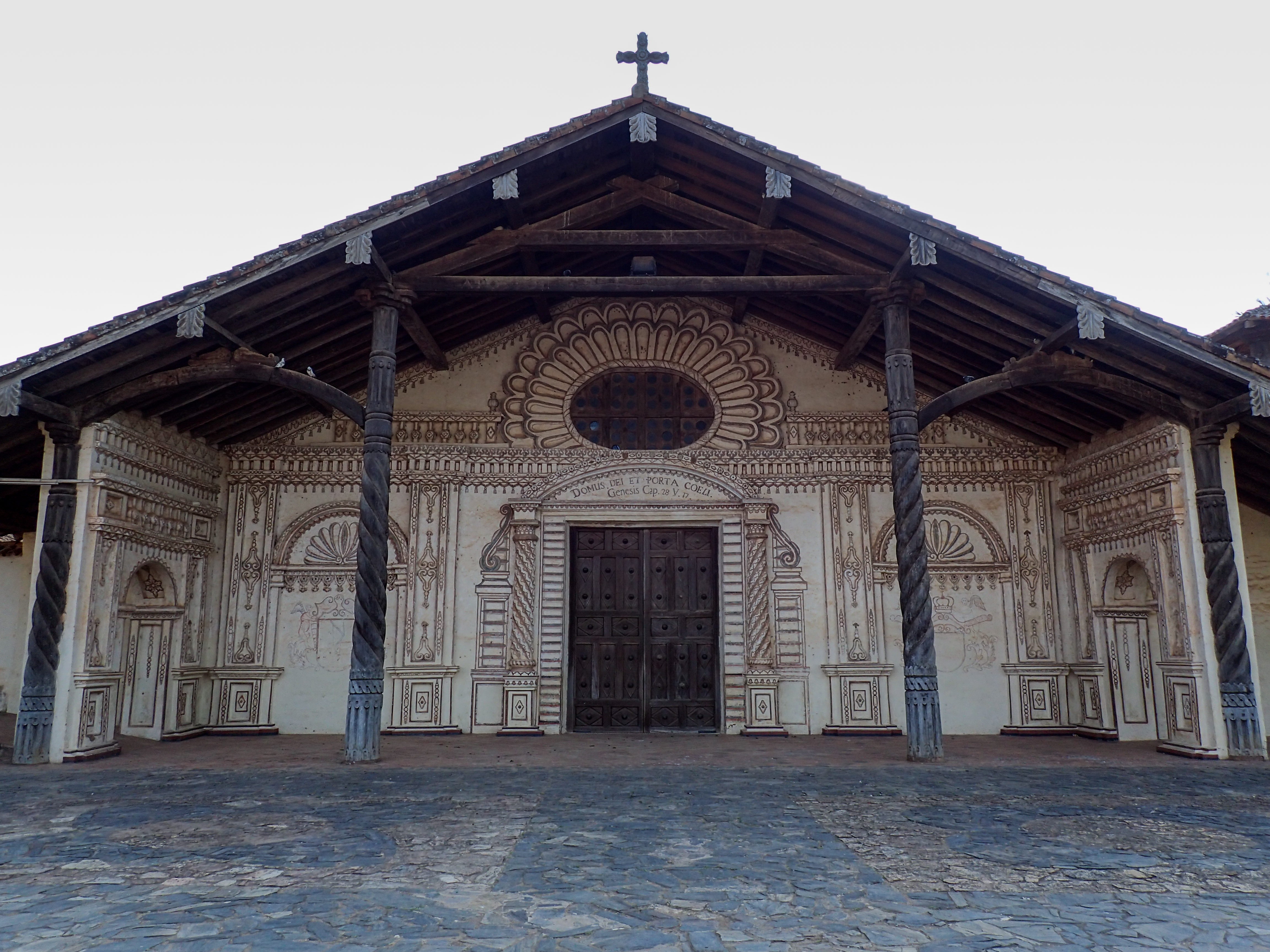
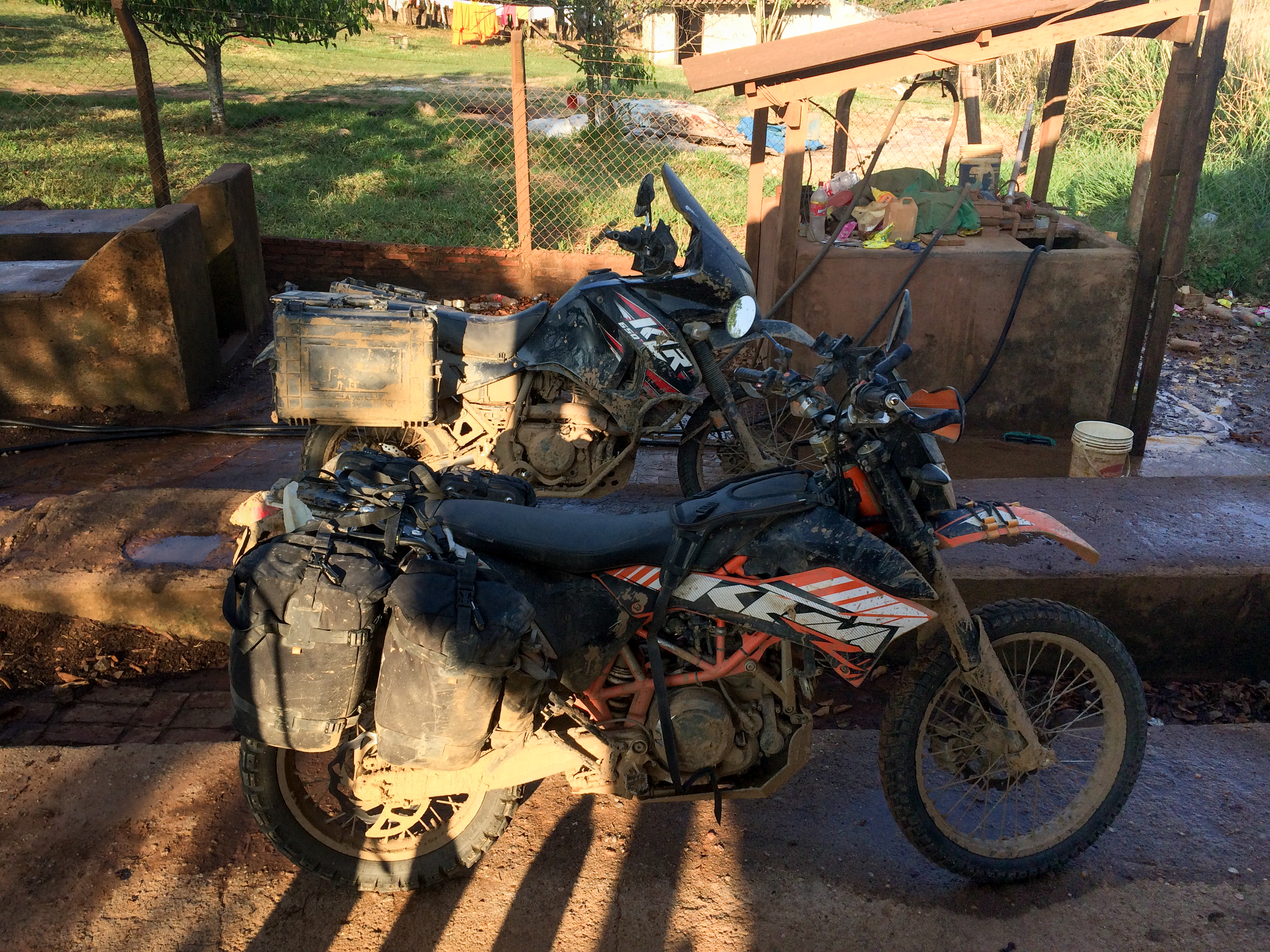
Fast, straight, uninteresting paved roads all day for 415km. Beautiful scenery and even some Ostriches on the sides of the road. Nice looking ranches and large pastures with grazing cows are a nice change from La Paz’s (county) half finished rebar laced crumbling brick buildings and dirty streets. Riding along at 60mph and I feel a sharp smack on the neck followed by a sharp sting…a wasp got me…ouch! San Xavier is a nice village that looks like the Jesuits never left. Our bikes and gear were still caked with pounds of mud so we found a guy to wash them…he did an amazing job.


0 comments:
Post a Comment