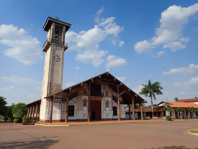
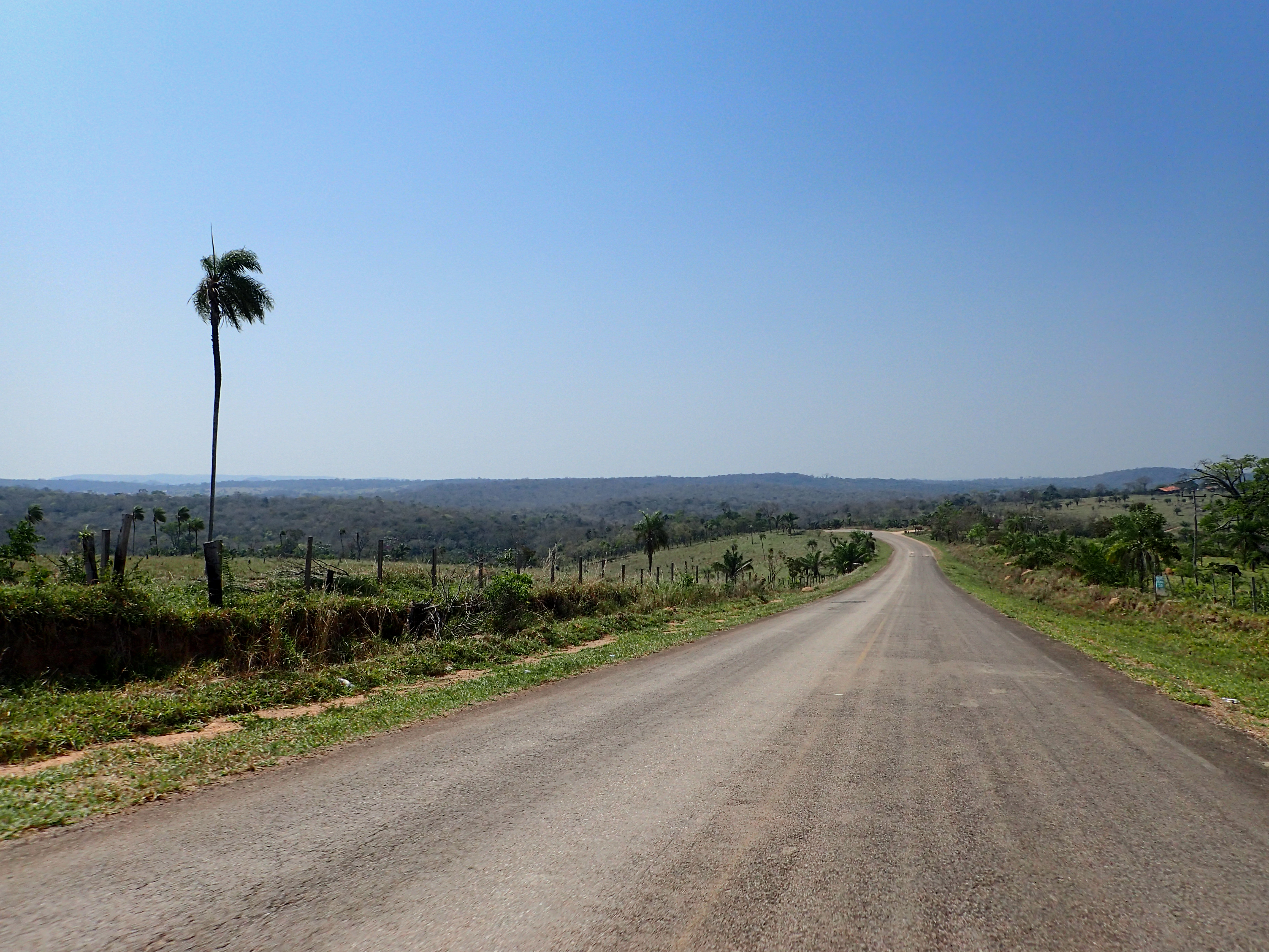
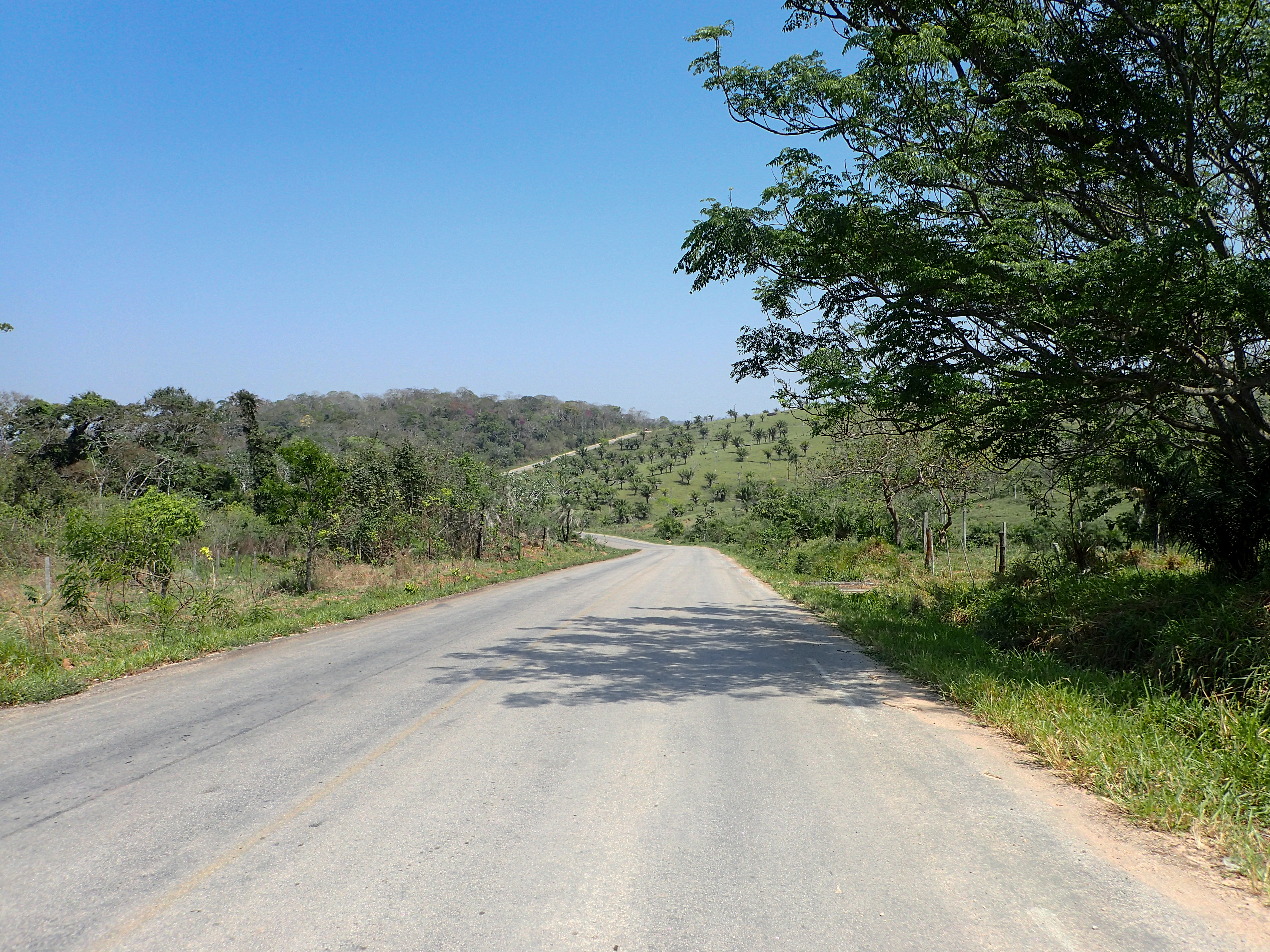
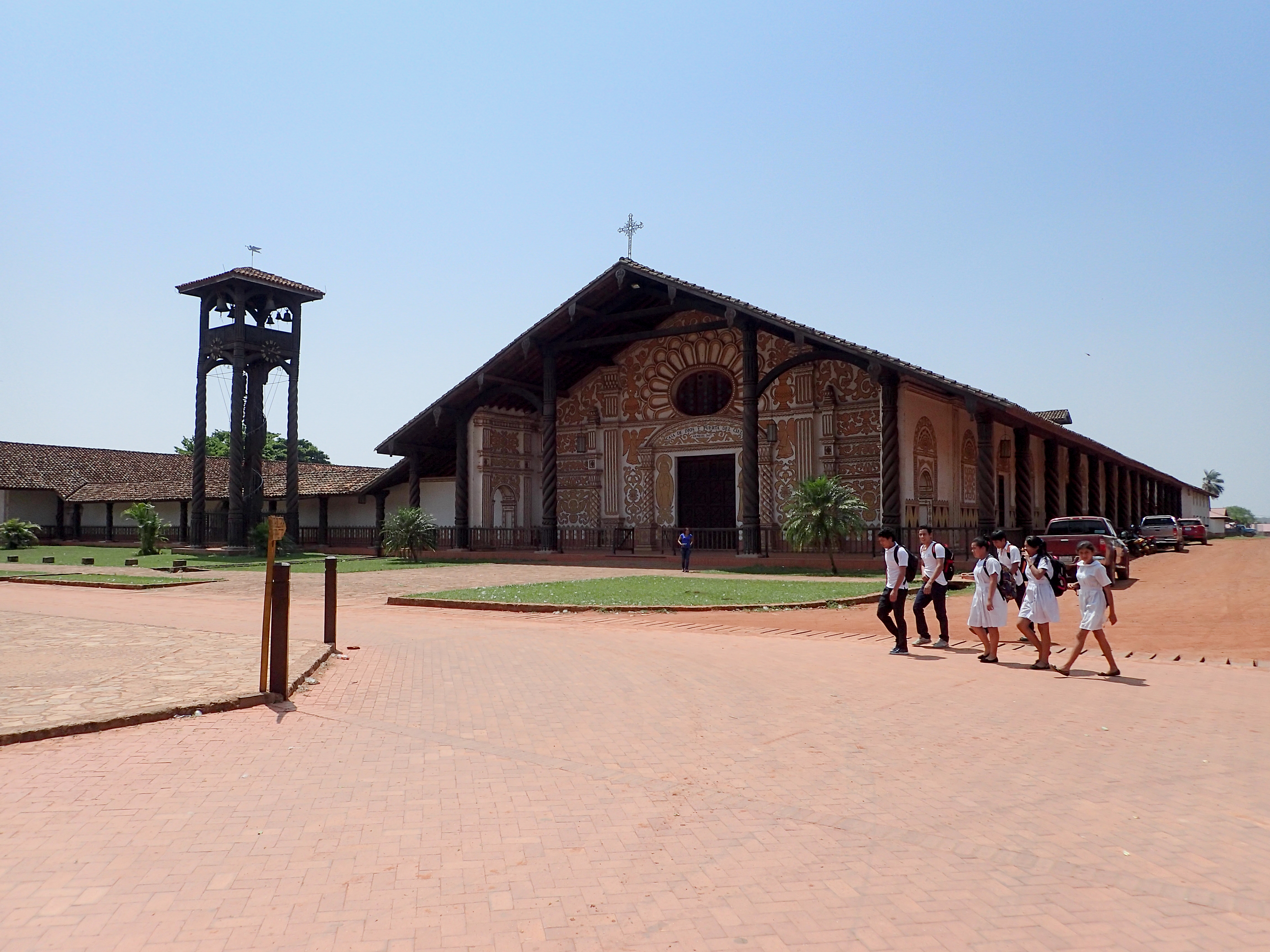
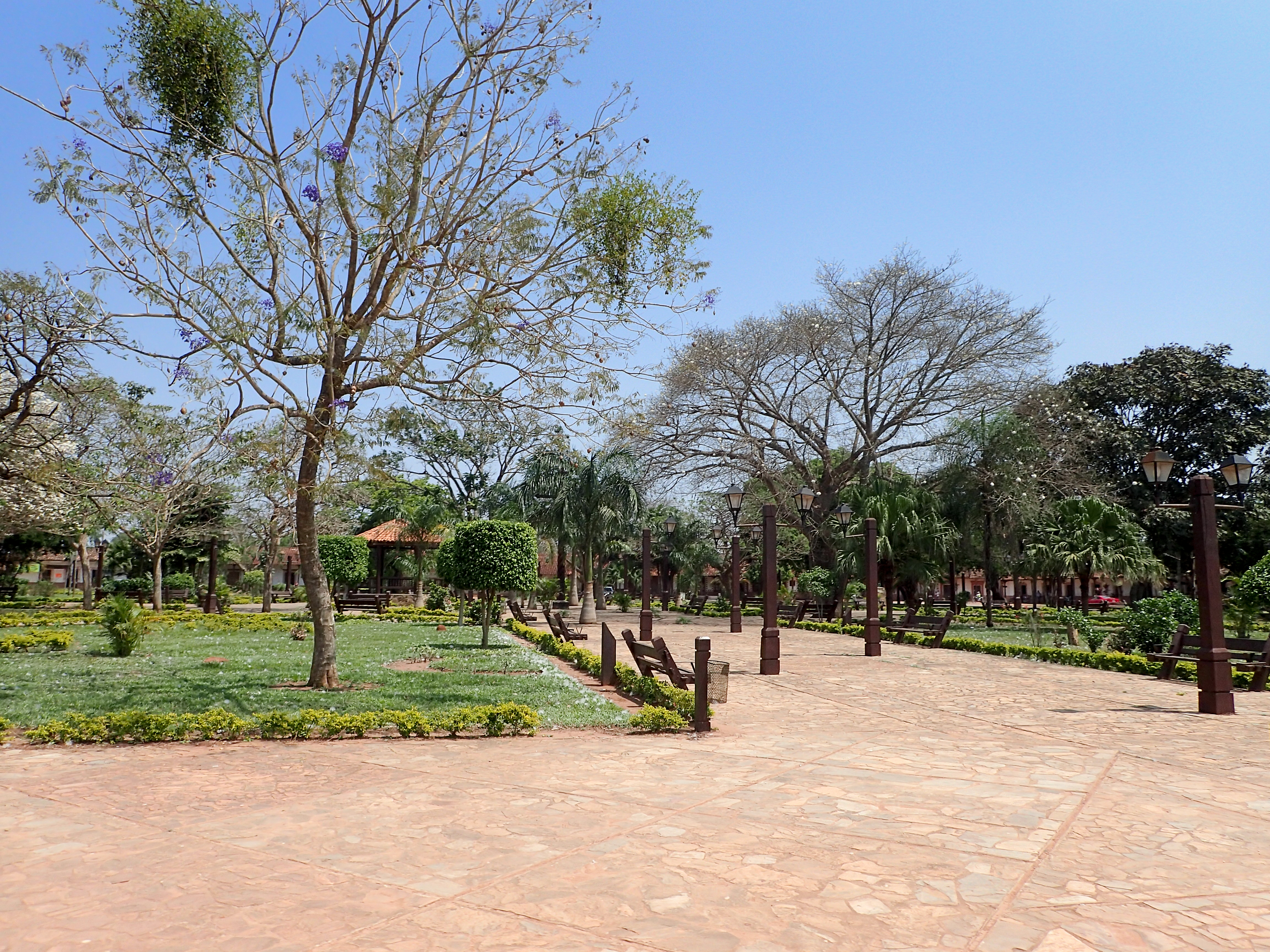
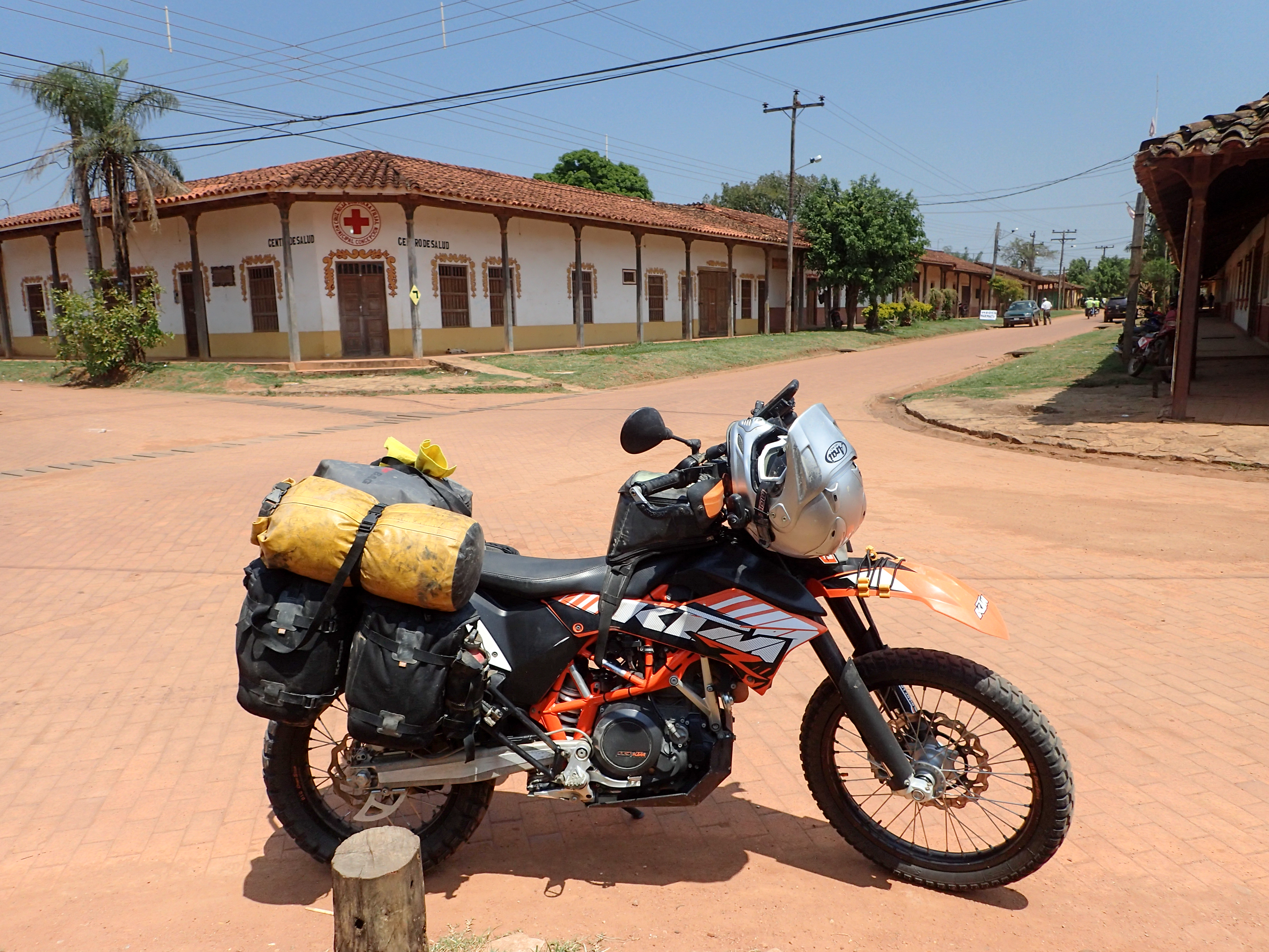
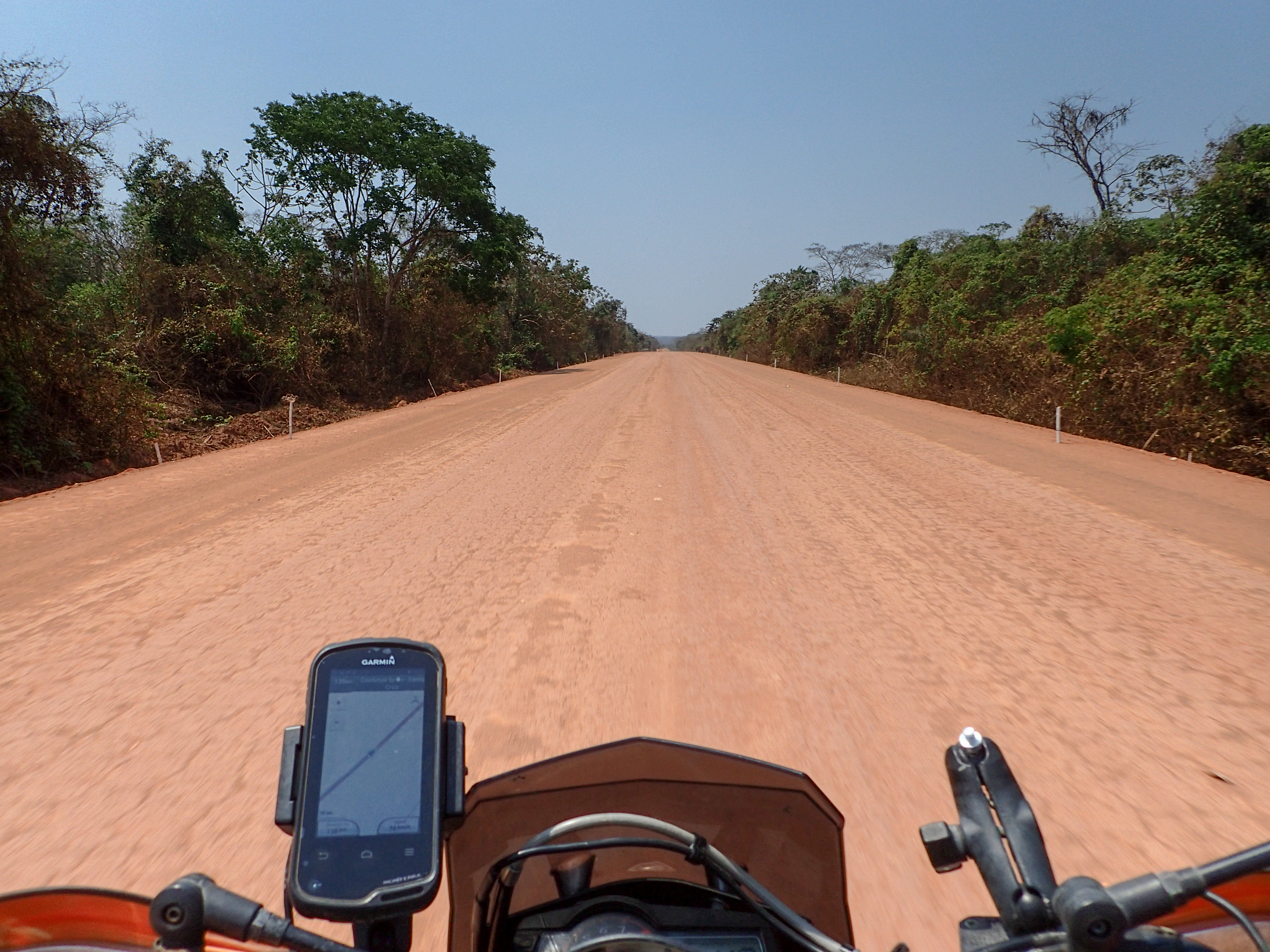
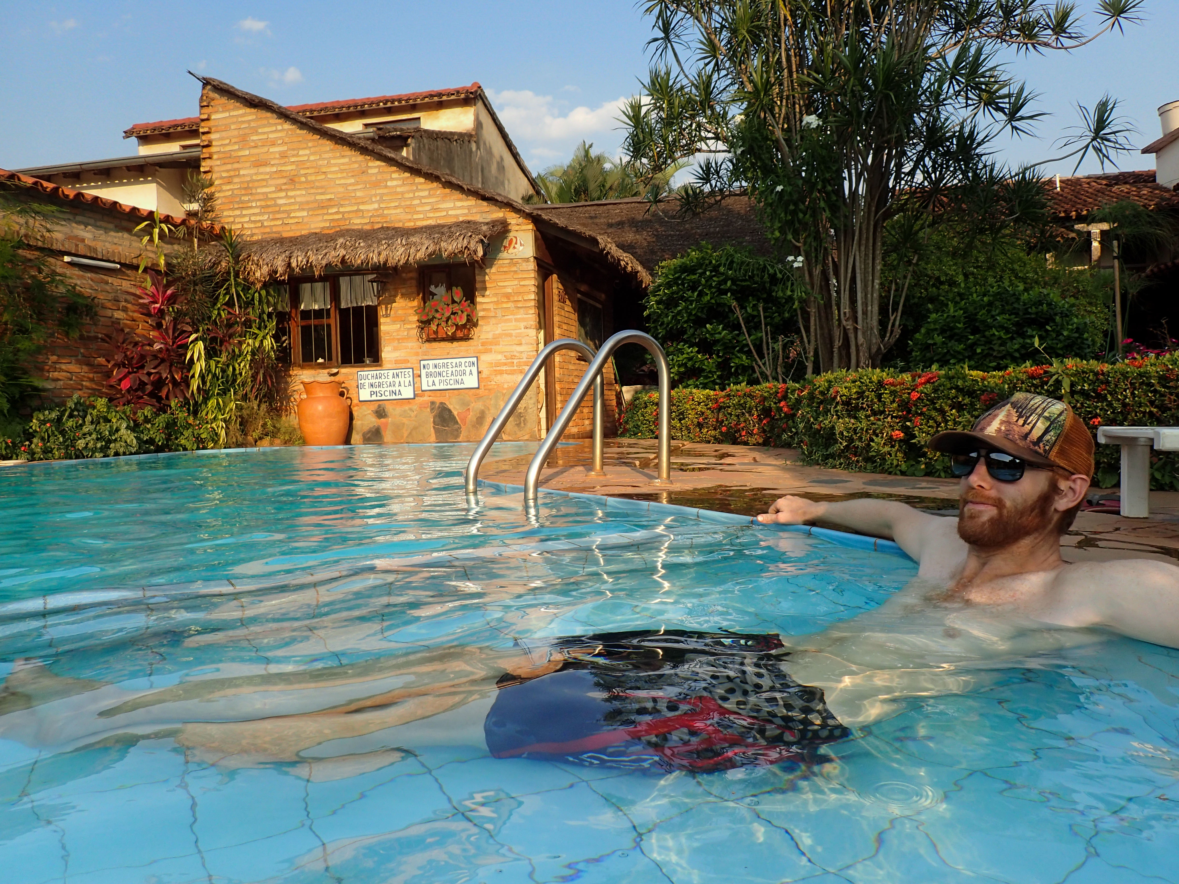
Day started with a choppy paved roads with some turns through rock gardens and more beautiful ranches. After Conception the road turned to a long, straight, under construction, paved and dirt road with dusty parts, sandy parts, muddy parts. Decided to get a nice hotel with wifi, pool and a/c to recuperate for a day before continuing on towards Aguas Calientes.


0 comments:
Post a Comment