
Stats
- Distance: 273 km (170 miles)
- Max Elevation: 4374 m (14352 feet)
- Min Elevation: 2626 m (8616 feet)
- Ascent: 6419 m (21063 feet)
- Descent: 5381 m (17657 feet)
Description
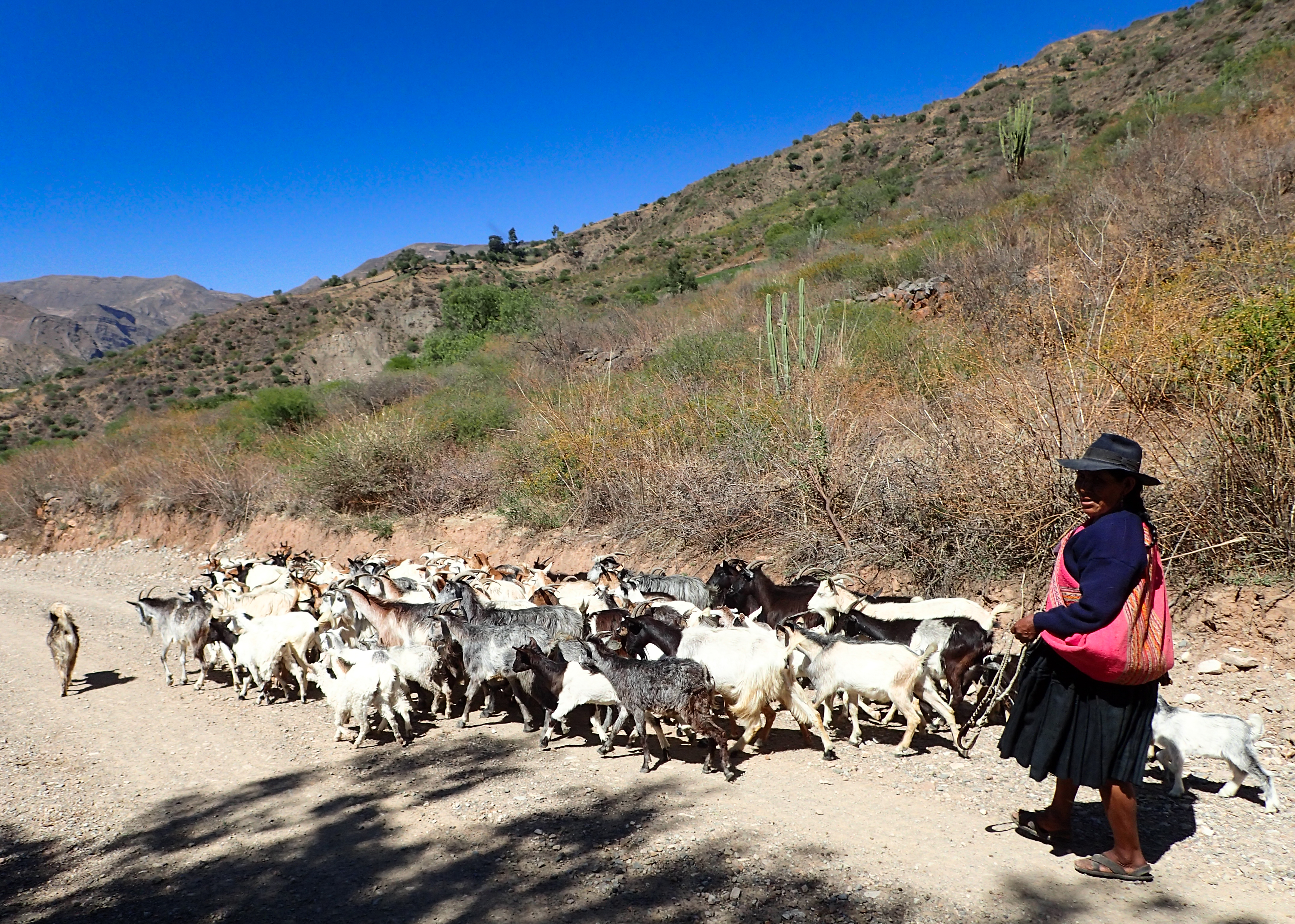
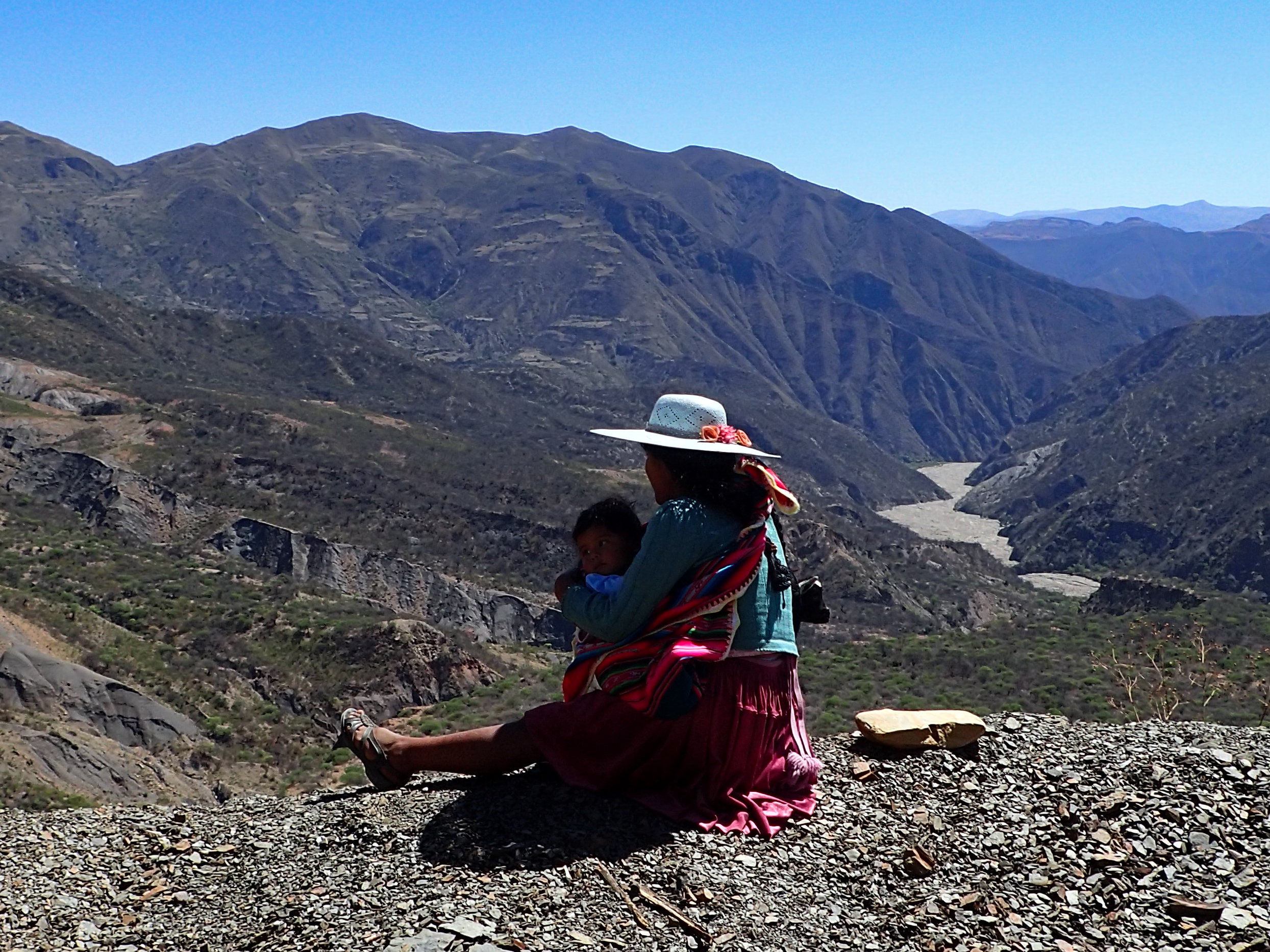
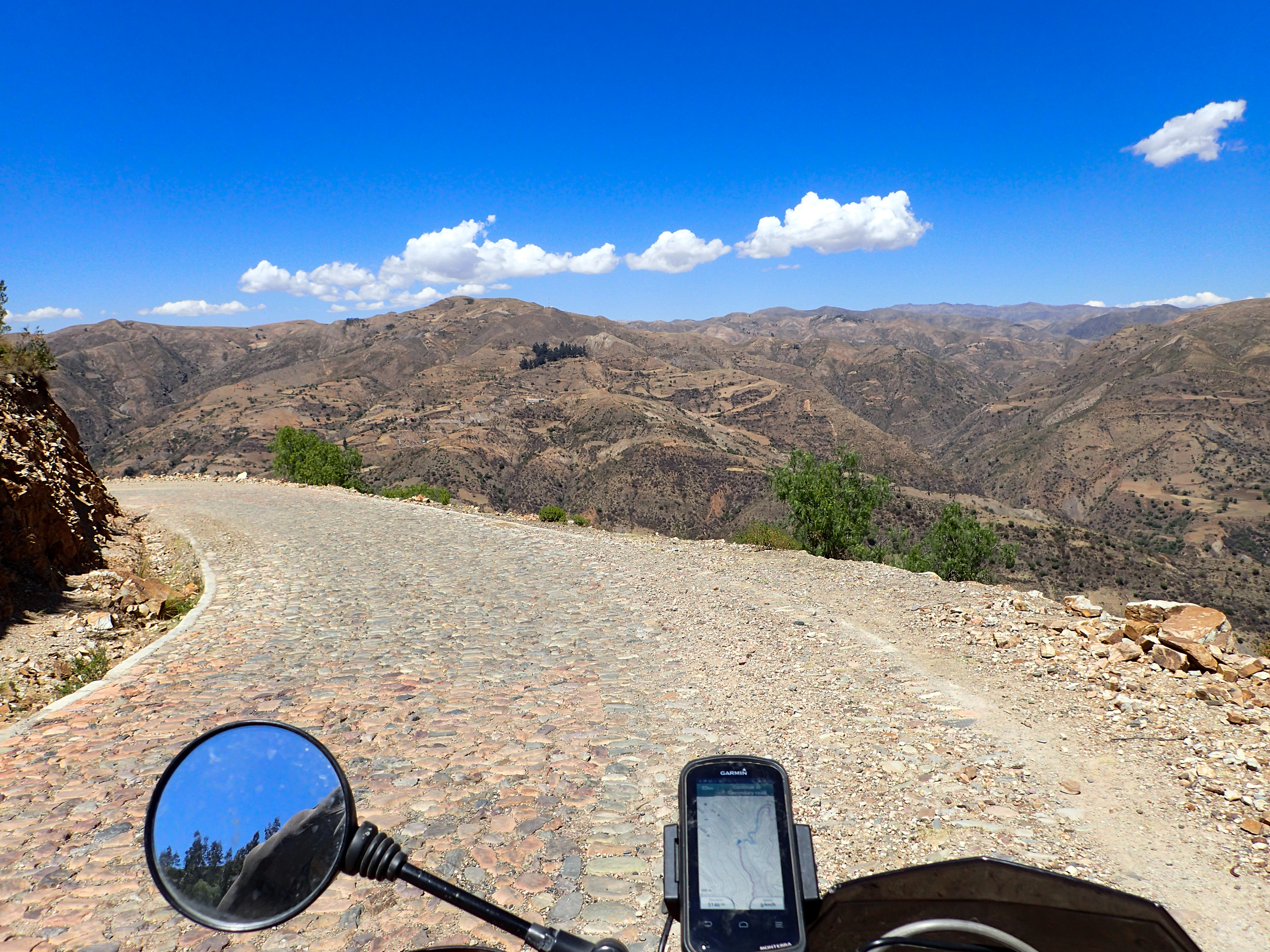
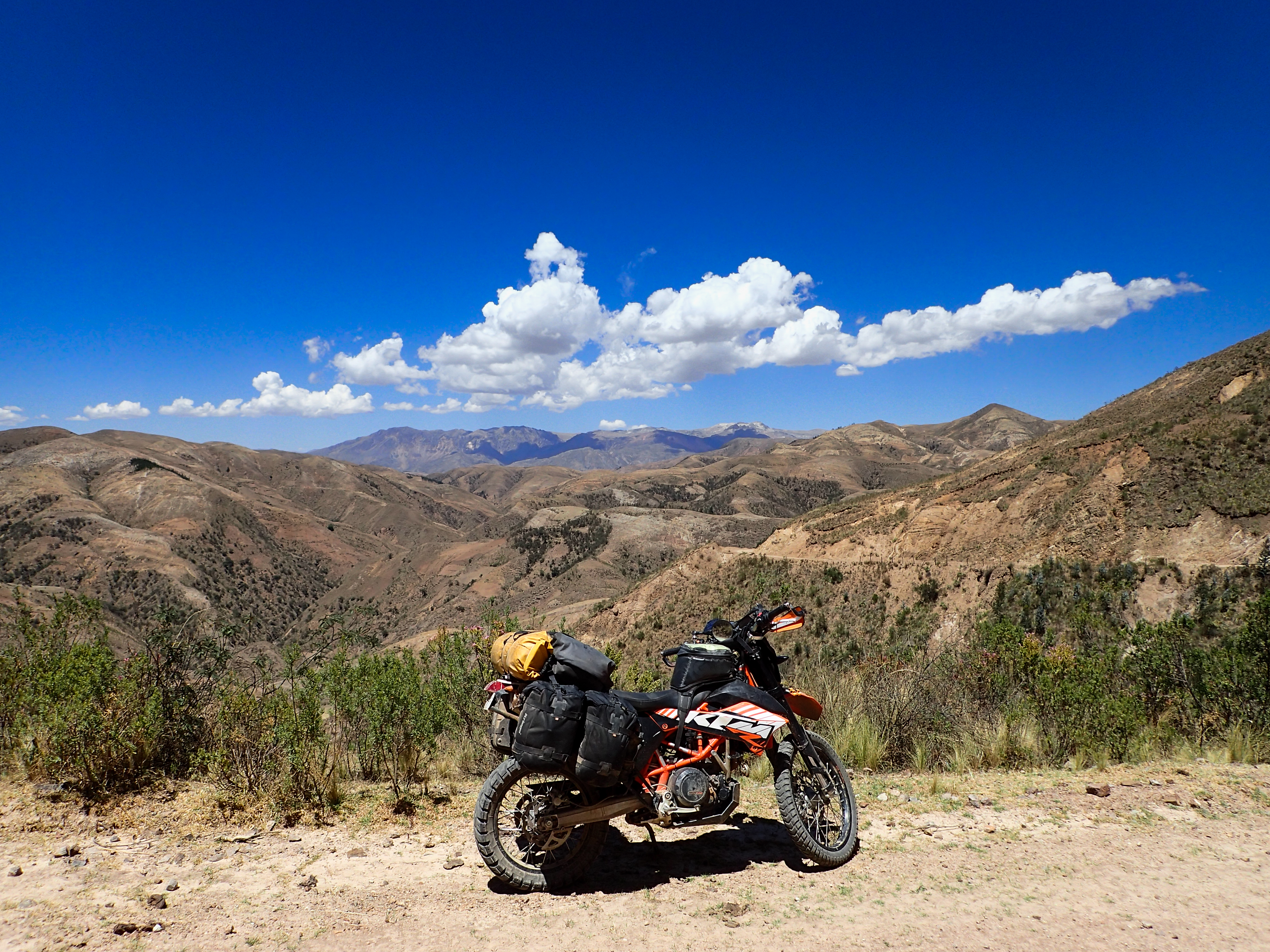
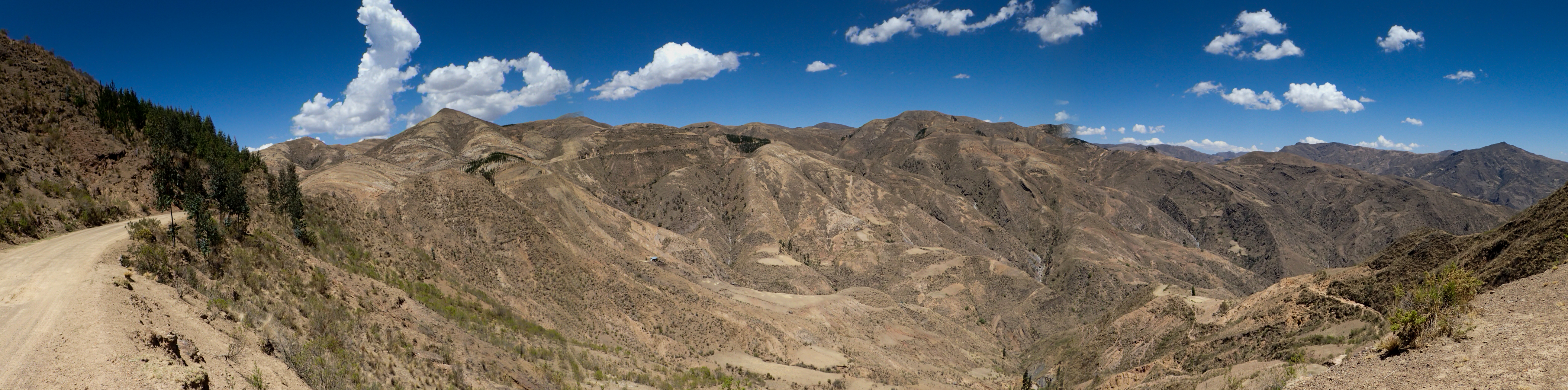
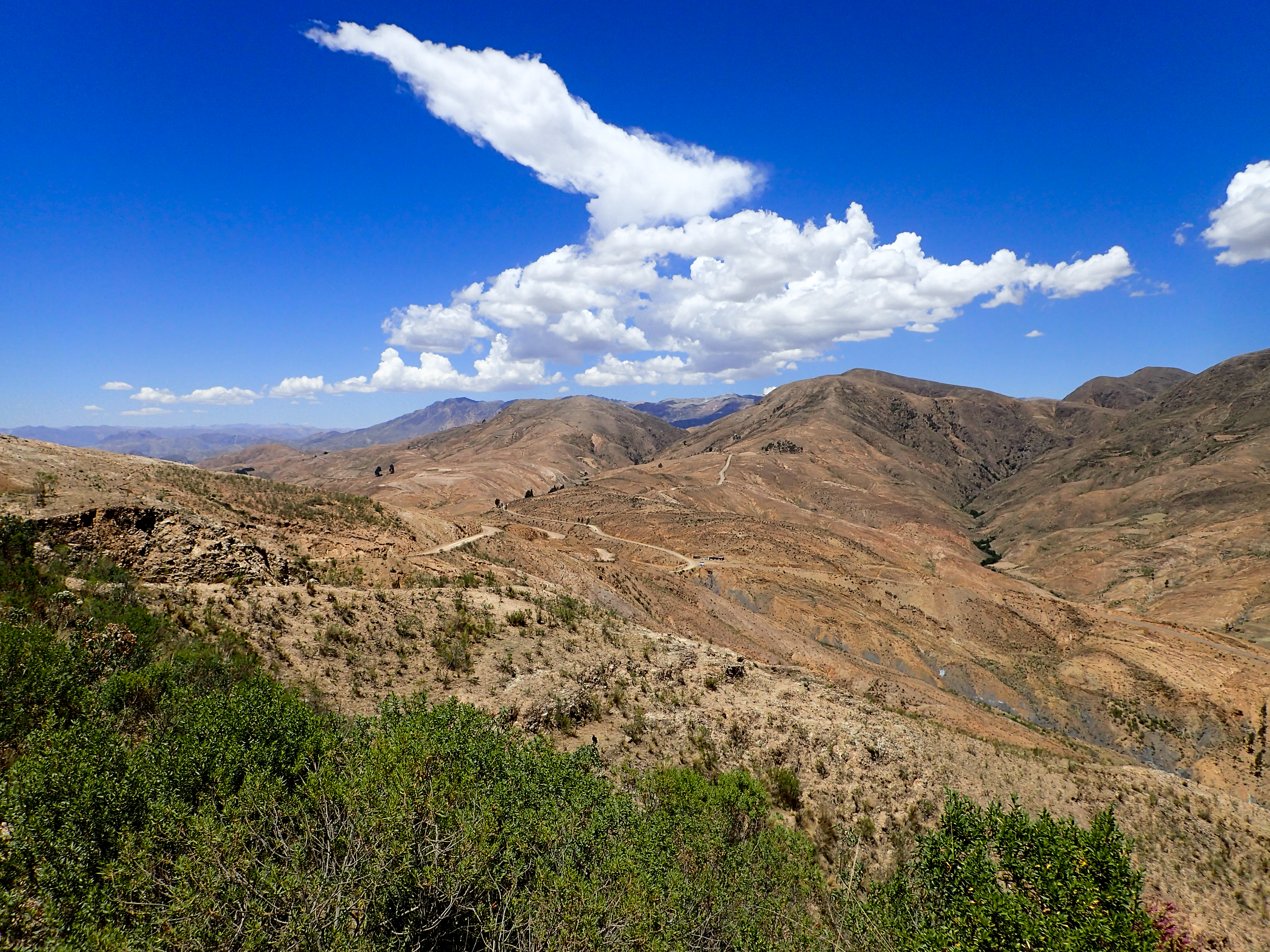
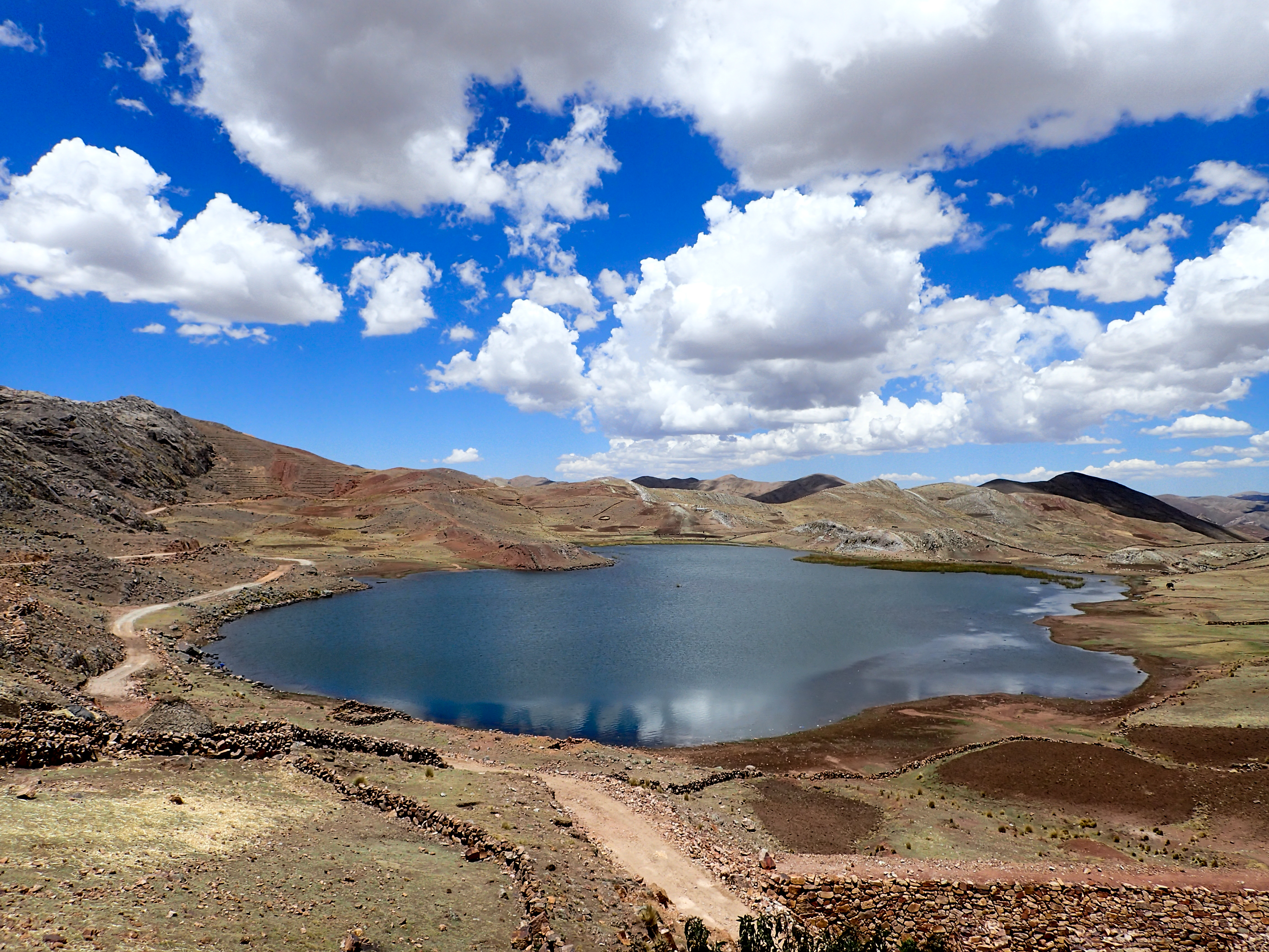
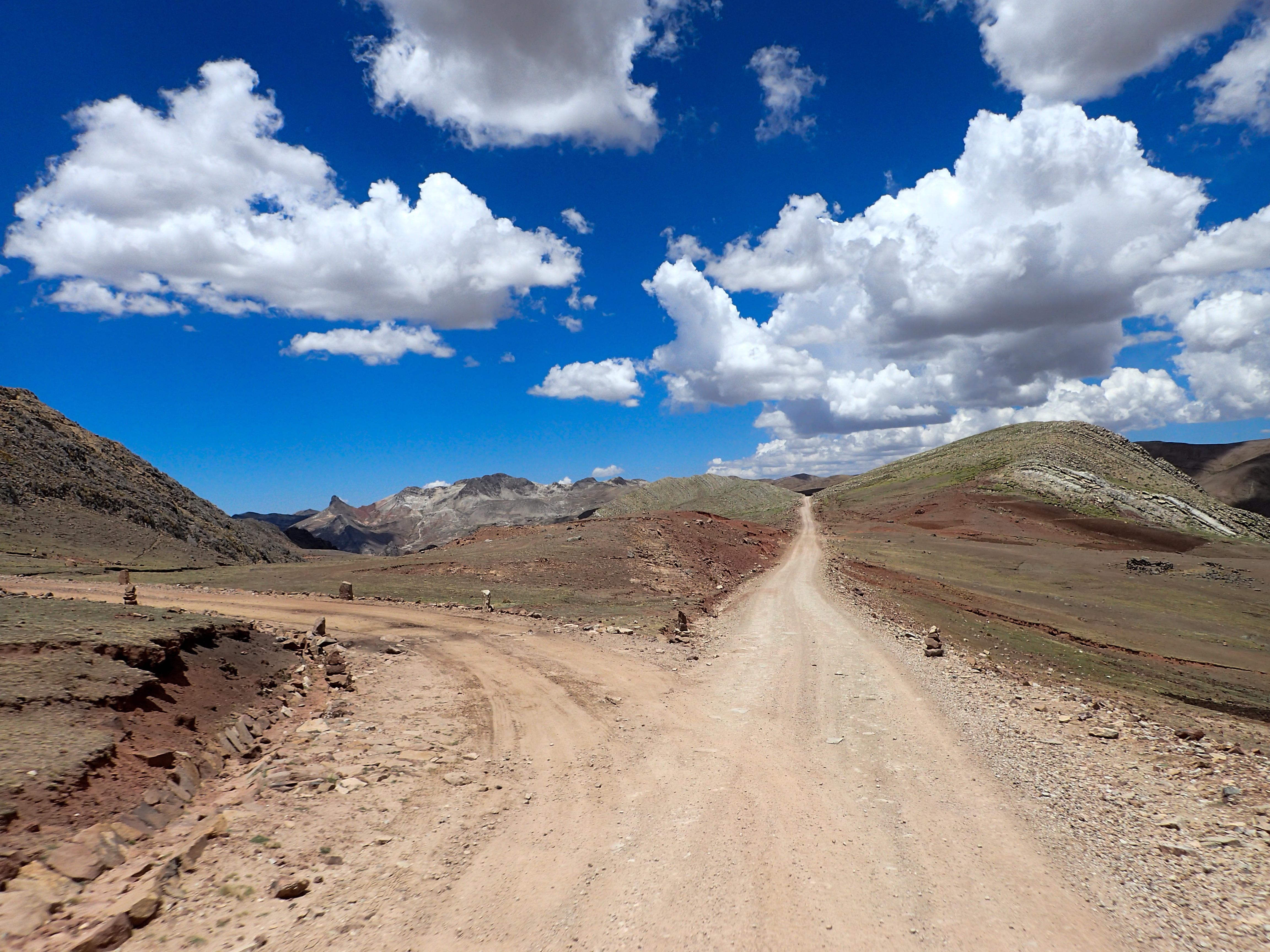
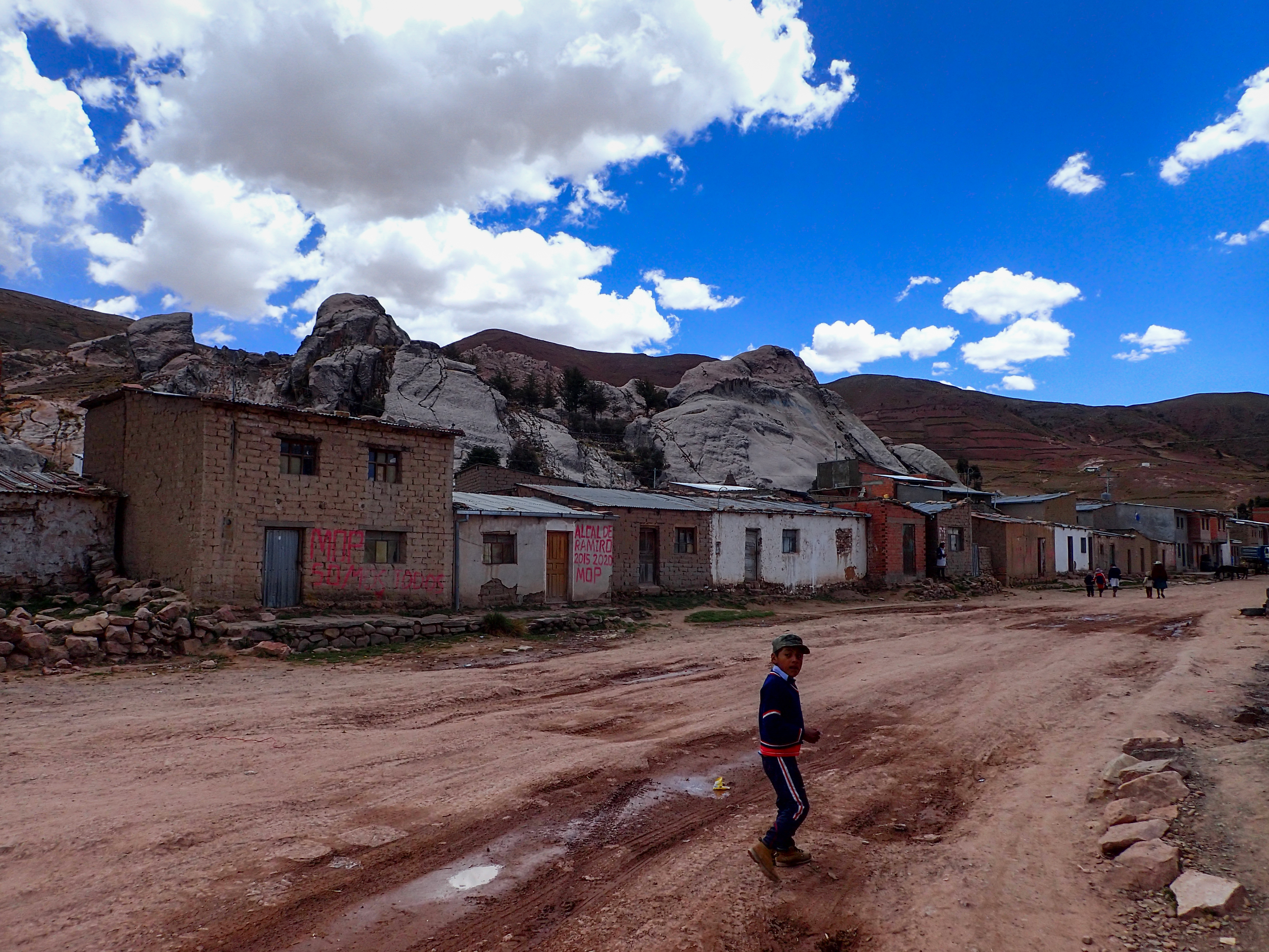
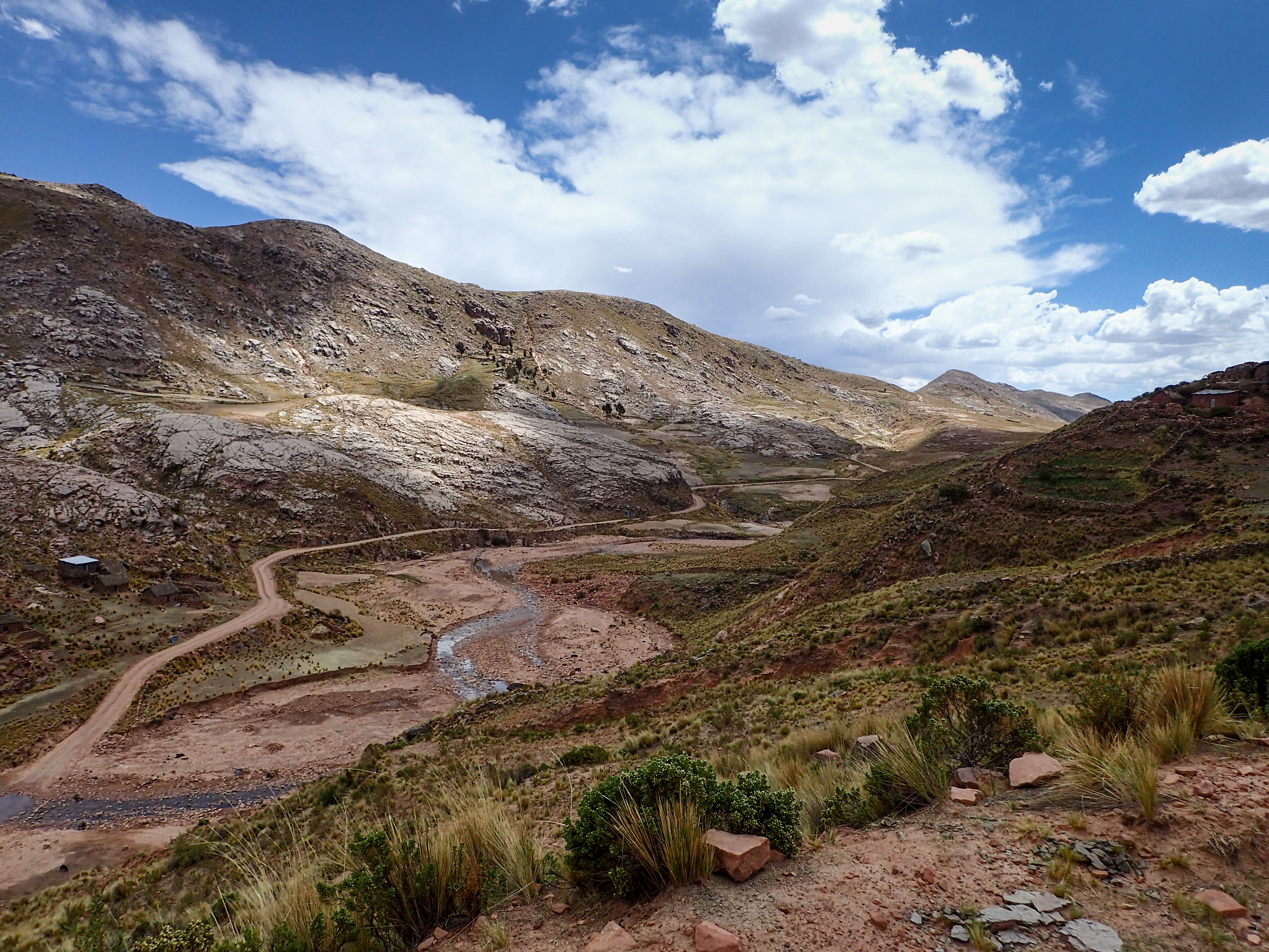
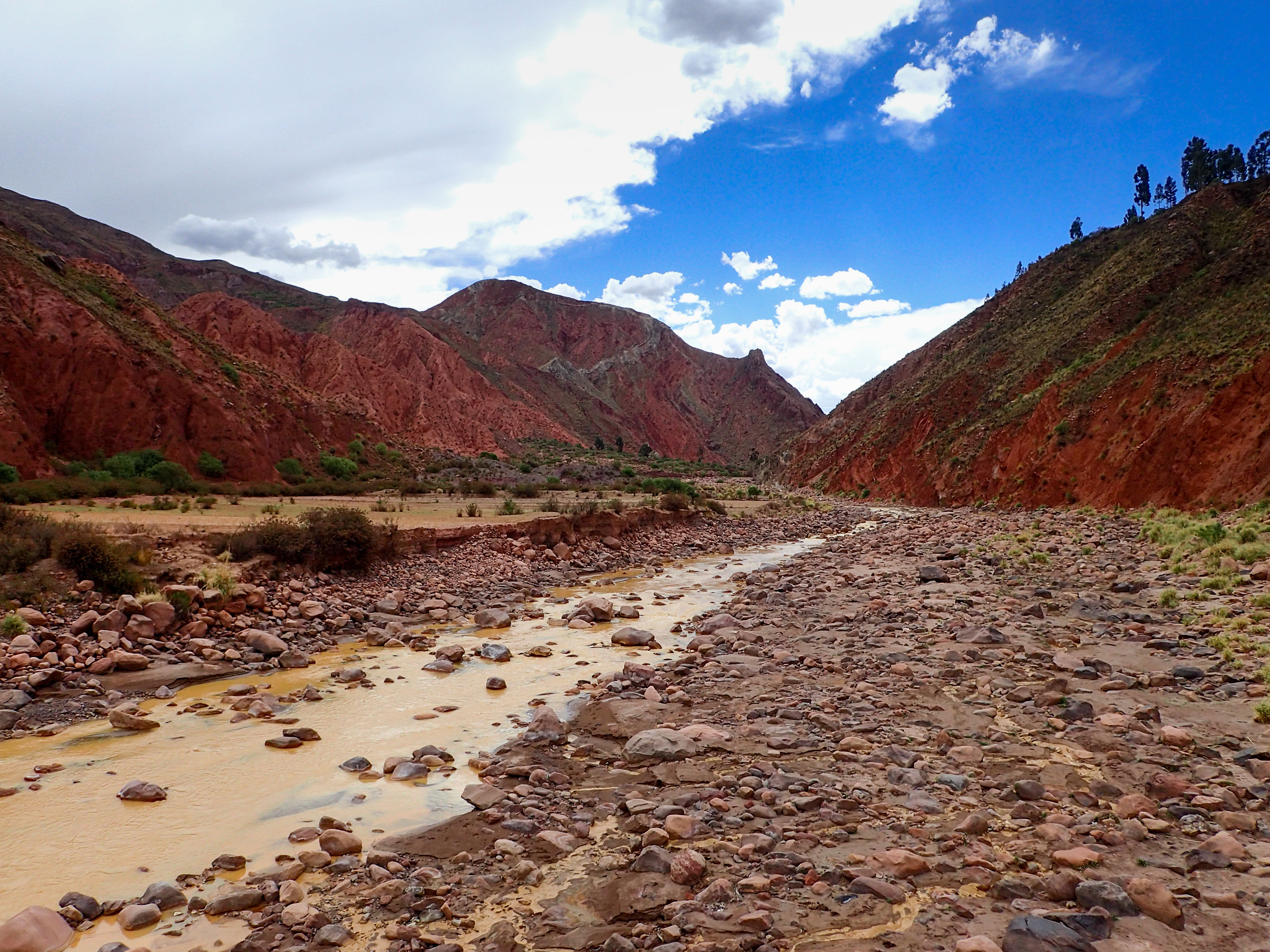
Another beautiful ride through the mountains. Very long ride. Some sections of the road weren’t on google or osm so we weren’t quite sure if we could get through. We bought gas in 2 liter bottles the night before to make sure we had full load of gas. Midway through the ride we hit a spectacular altiplano.A storm started rolling in as soon as we hit the last 10km heading towards some bigger towns. We decided to stay in the first town because the wind was picking up and the sky was dark. This was a nothing town with only one really basic motel without a shower or running water and scooped mattress pads on top of burlap bags of whatever. There was only one restaurant in town that sold some fried chicken and rice. There was a little outside market where I saw a baby plopped down on a bed of rotting lettuce. Pretty dismal place but amazing ride to get here.

0 comments:
Post a Comment