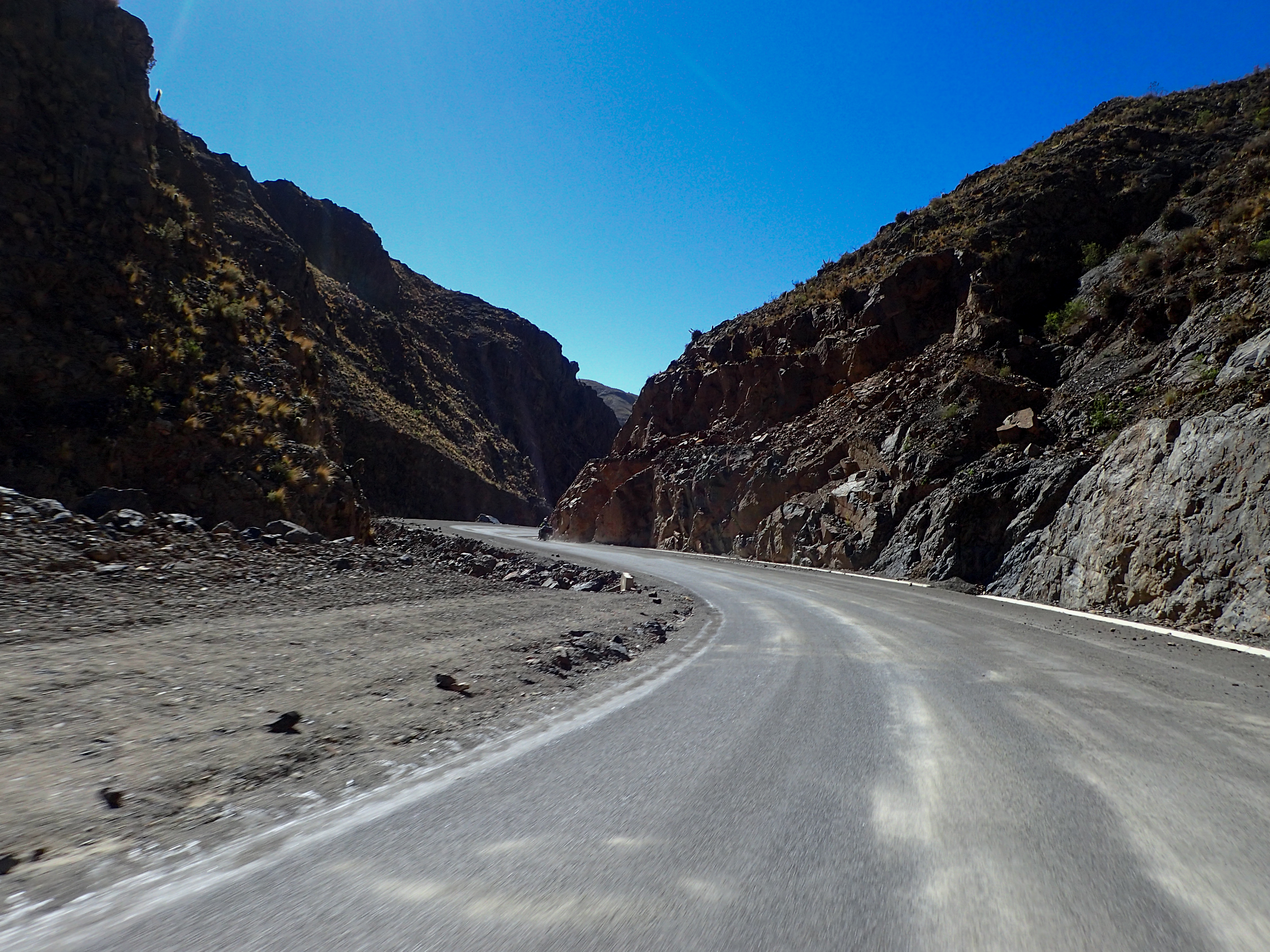
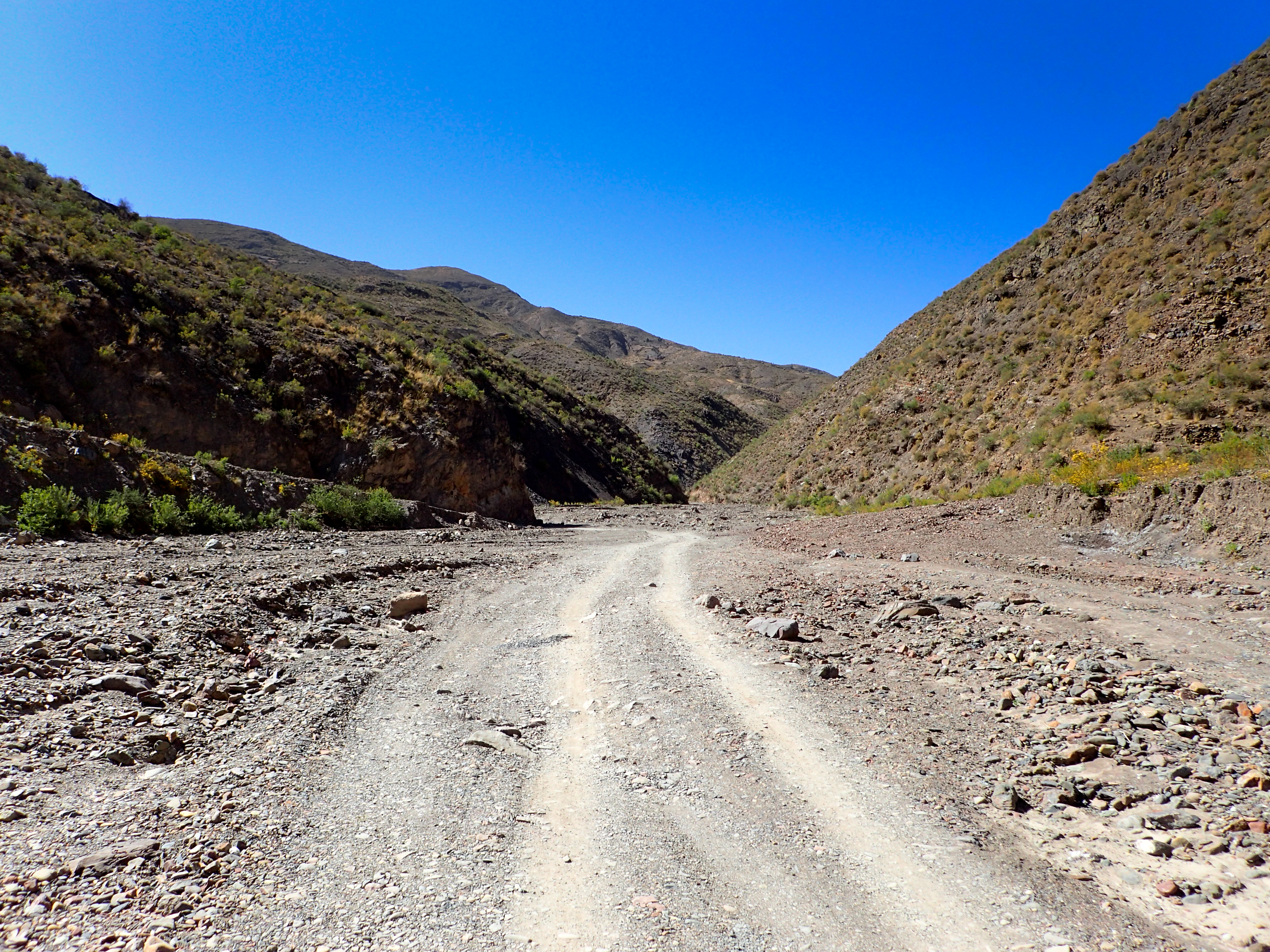
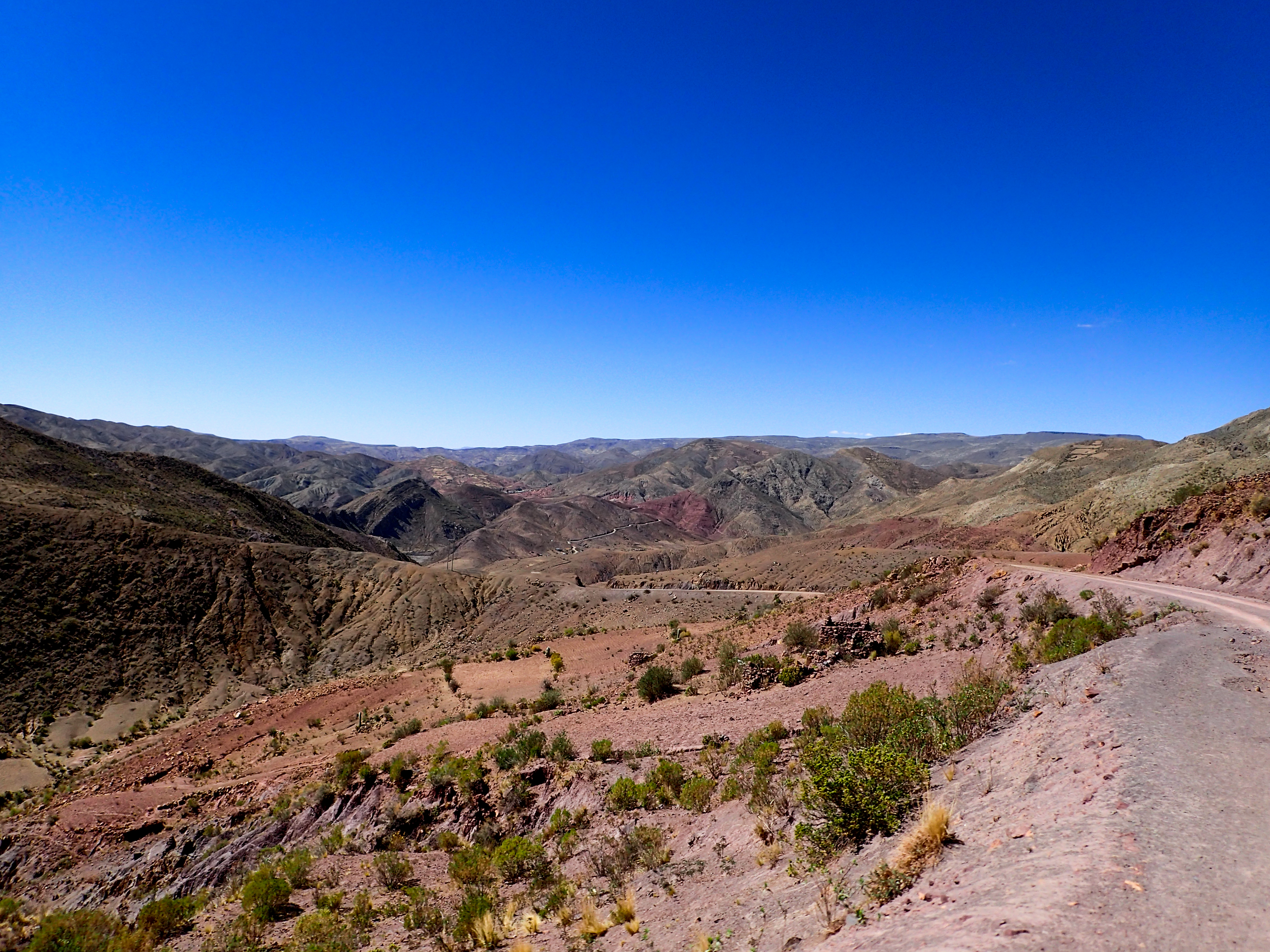
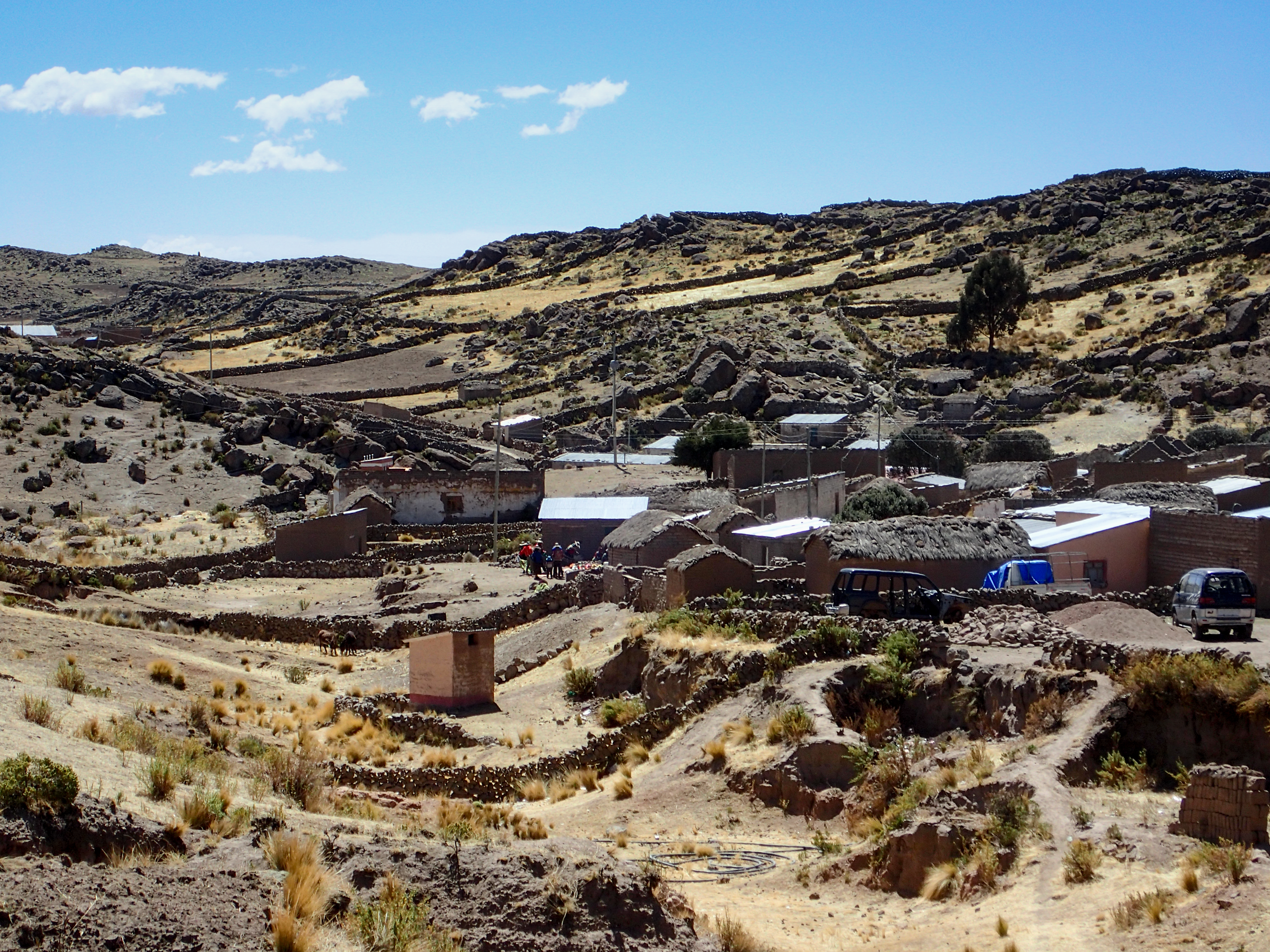
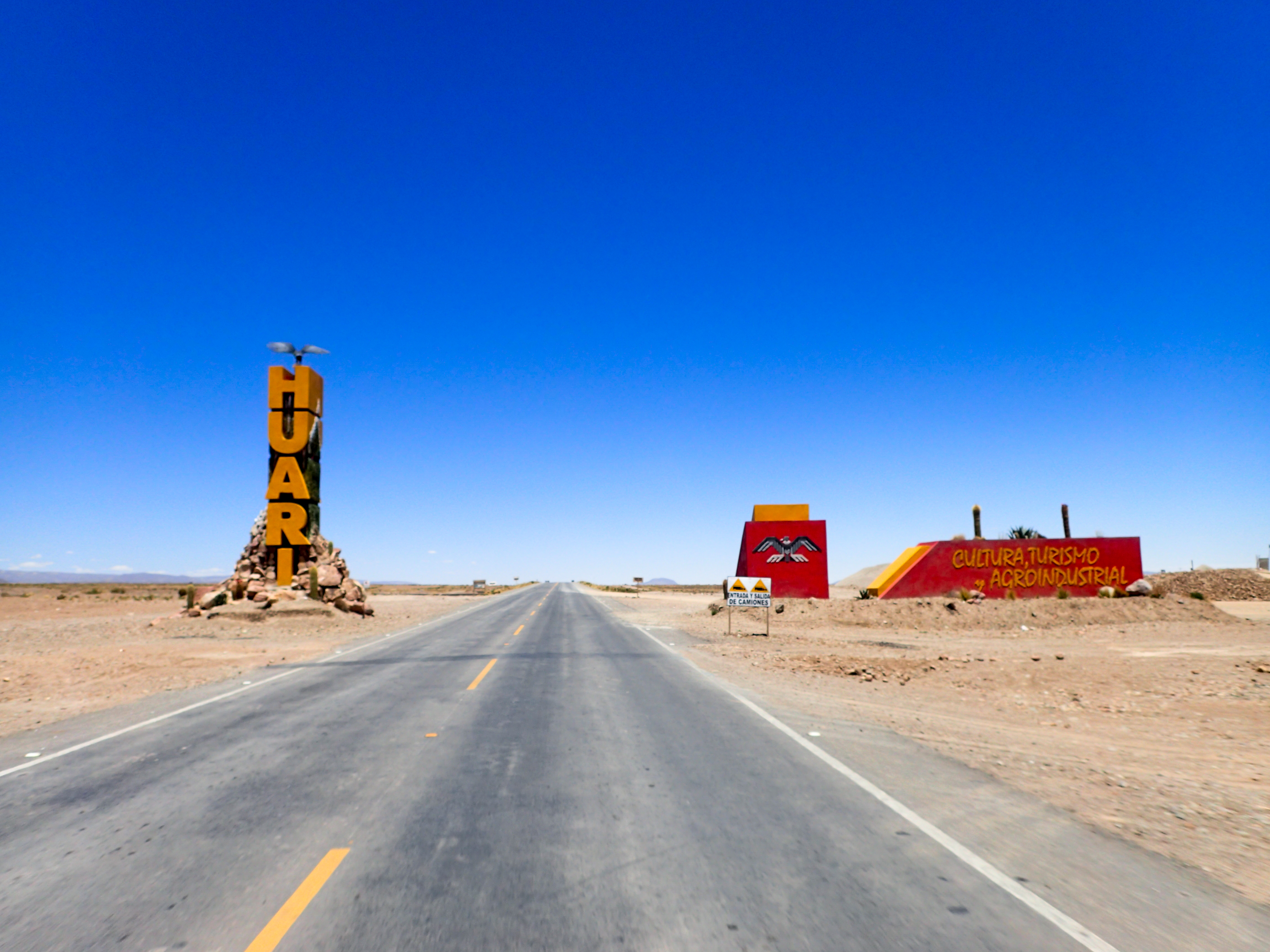
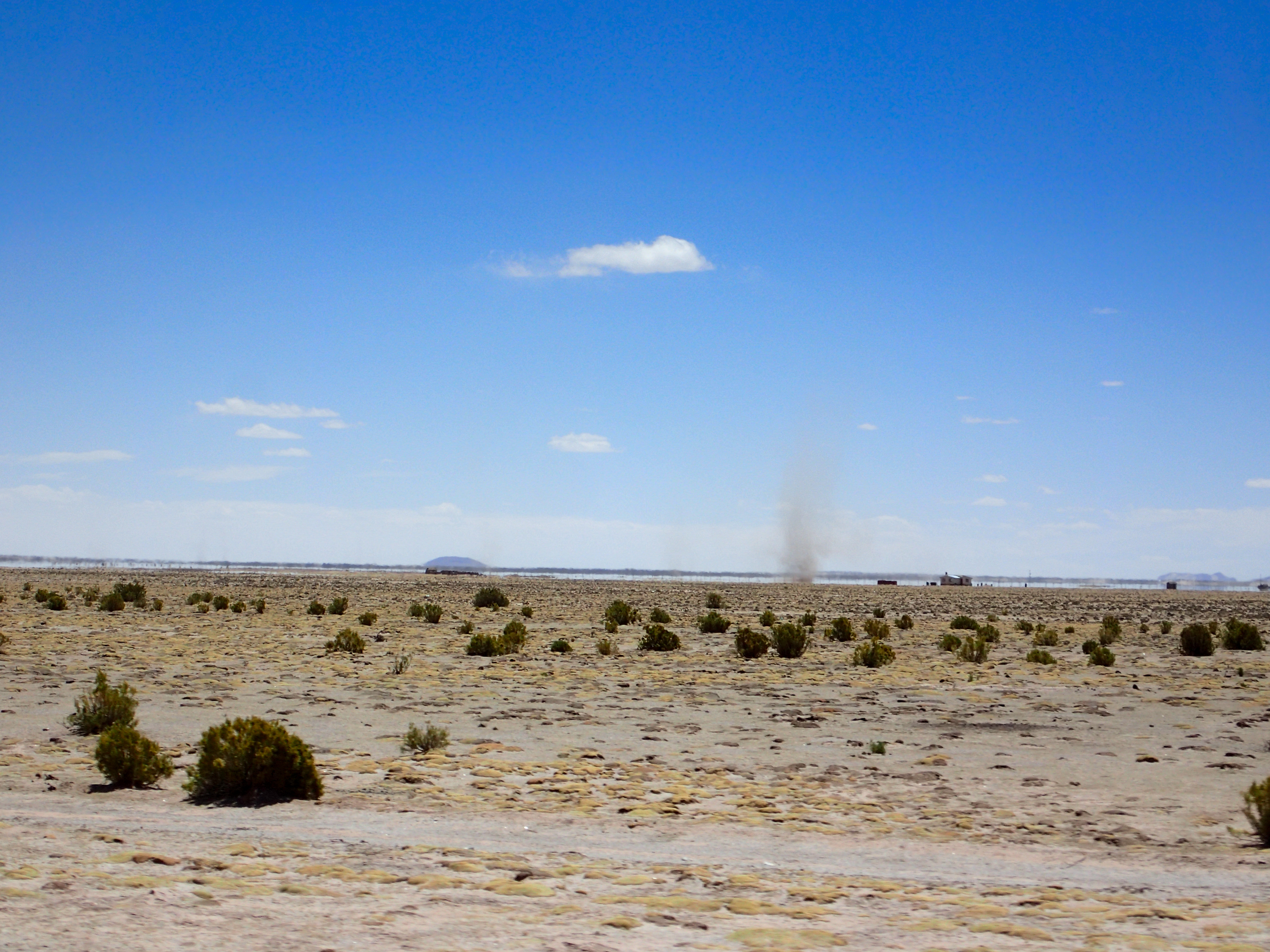
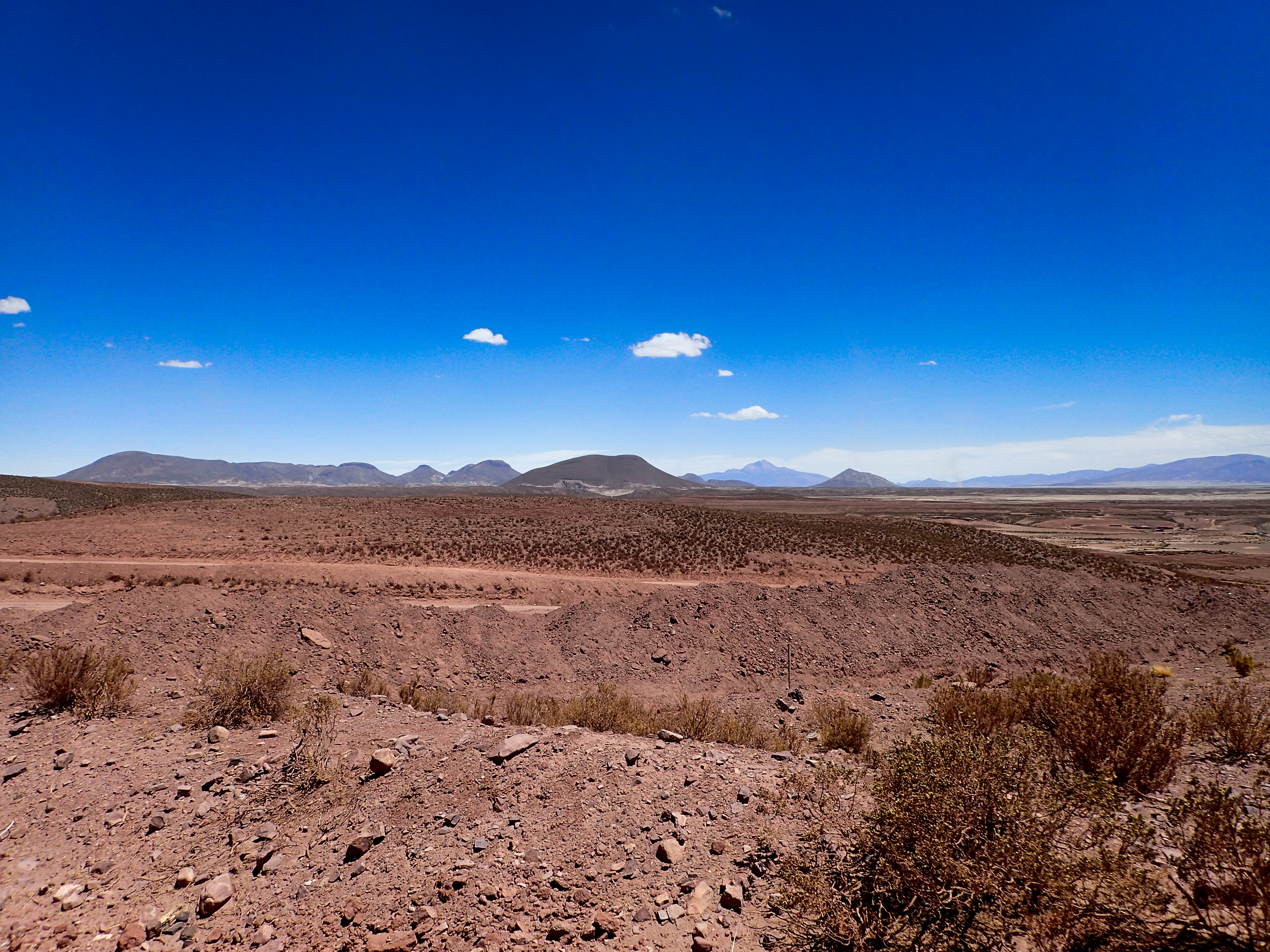
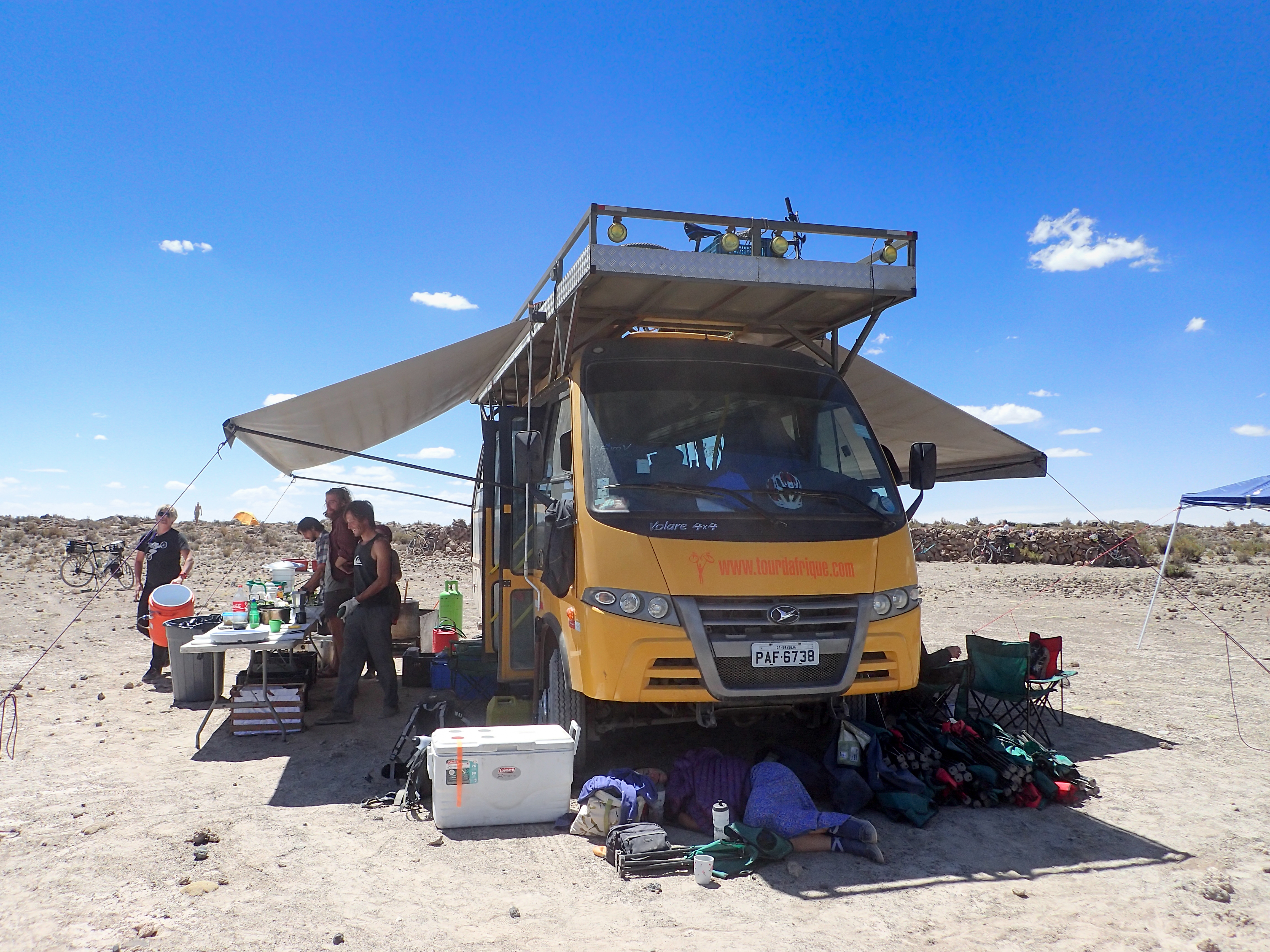
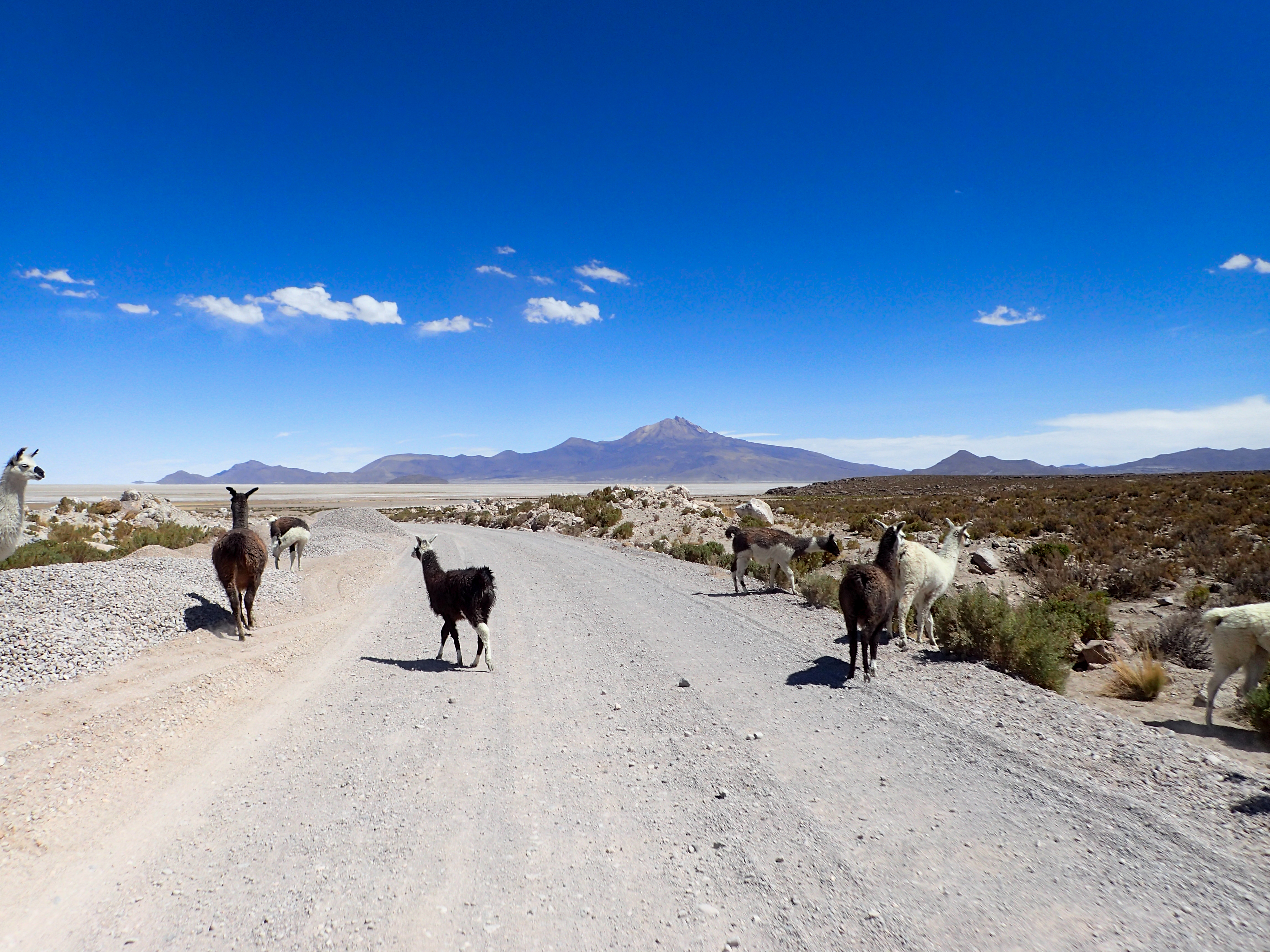
Long haul from Uncial to Salinas de Garcia Mendoza, which is just north of Uyuni. Unsure on how much of the route would be paved we took off for the 280km’s to Salinas hoping to find gas and supplies before heading into Uyuni the following day. The pavement ran out pretty quickly before we turned east for more mountain passes over to a main route. We crossed some rivers, followed some rivers through canyons and even rode in some dry river beds. After we crossed the main route we were on fresh pavement headed toward Salinas. Eventually the pavement gave way to construction and alternate sandy routes below. We ran into a group of 50 bicyclists going from Cartegena to Ushuaia and stopped to chat quickly. The desert views got spectacular as we approached the Tunupa volcano. The wind was kicking up sand tornadoes and the llamas were out in force. Salinas is a very small town but there is gas and in the far north side of town there is a nice hotel with parking for the bikes and a very reasonable price. We will stay here for two nights and spend a day with light packs exploring the volcano and the north side of Uyuni.


0 comments:
Post a Comment