Stats
- Distance: 290 km (180 miles)
- Max Elevation: 3194 m (10479 feet)
- Min Elevation: 490 m (1609 feet)
- Ascent: 2981 m (9781 feet)
- Descent: 4268 m (14004 feet)
Description
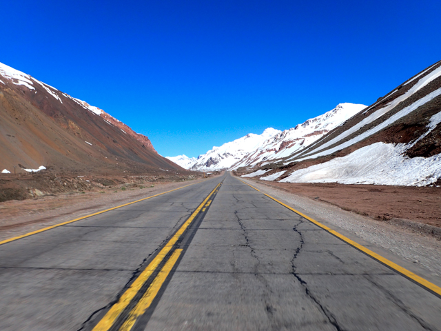
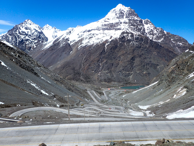
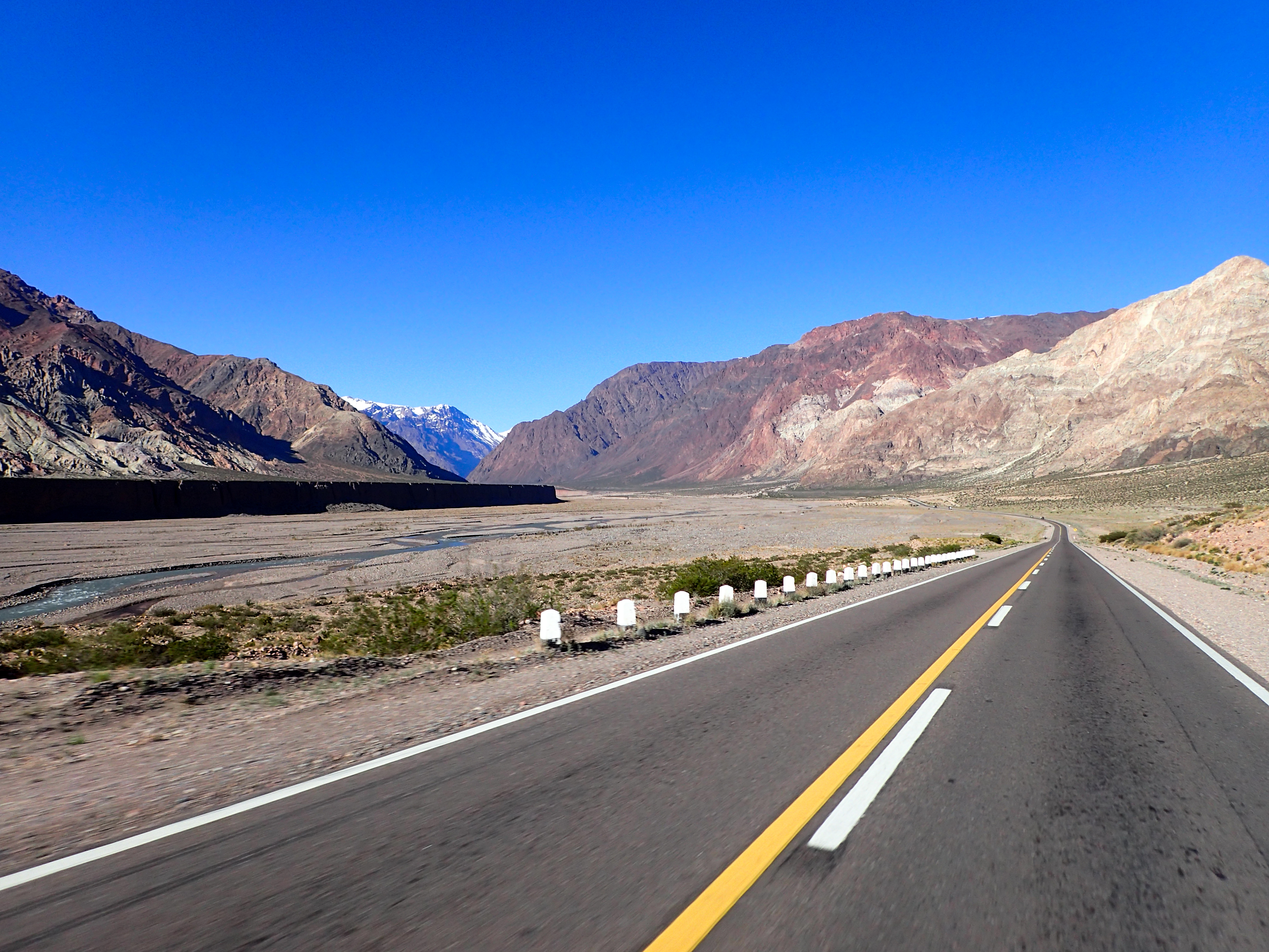
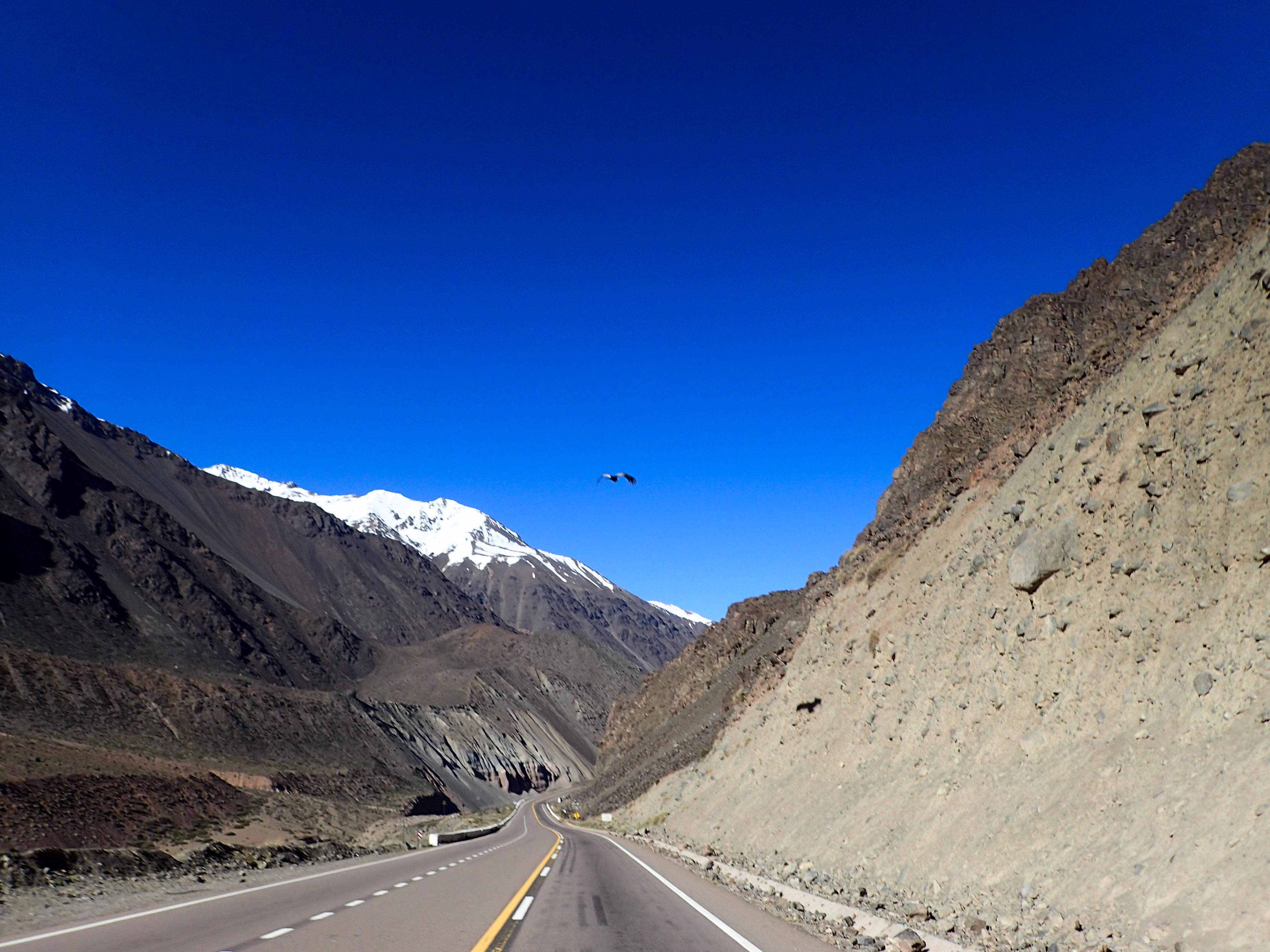
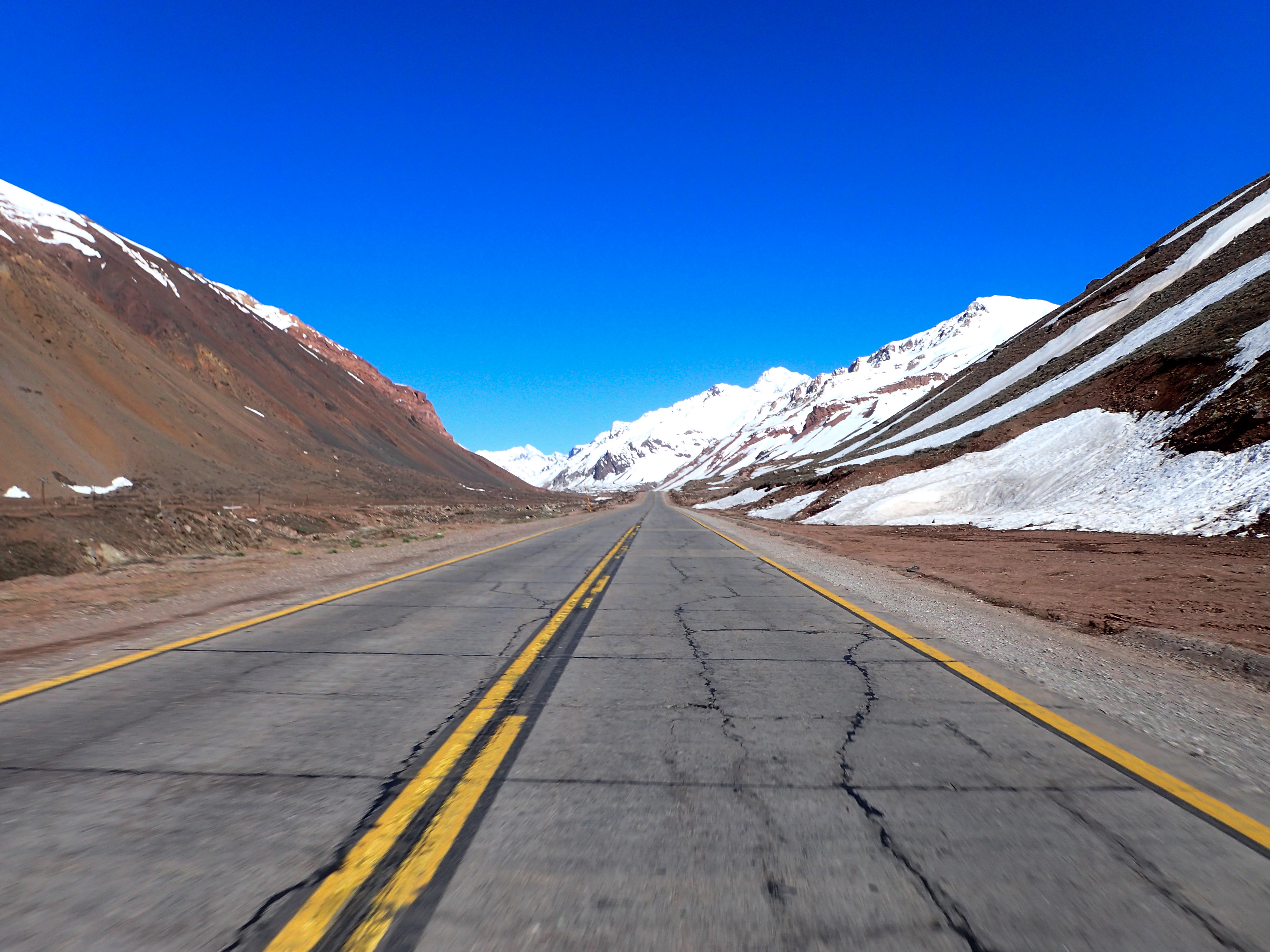
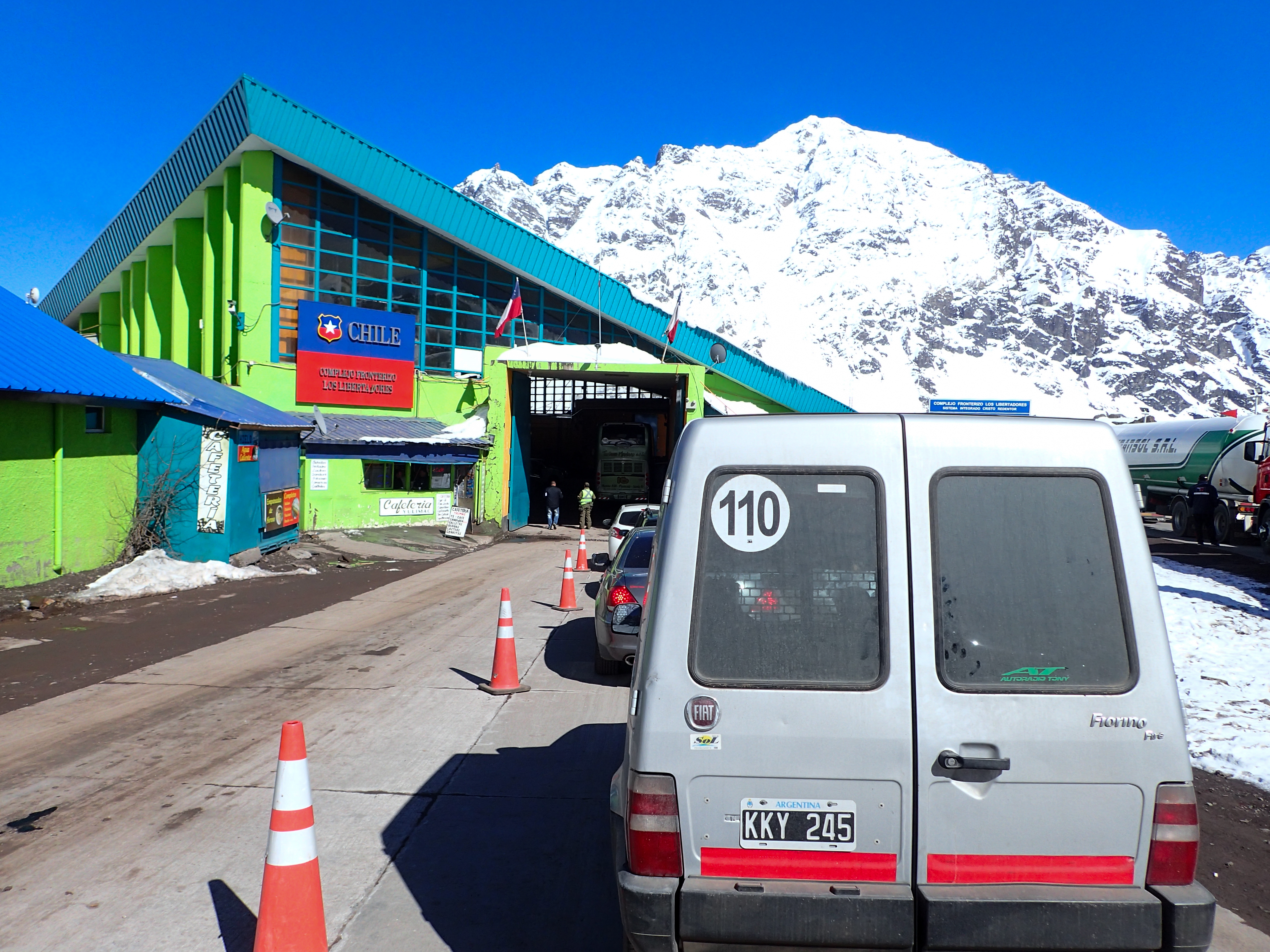
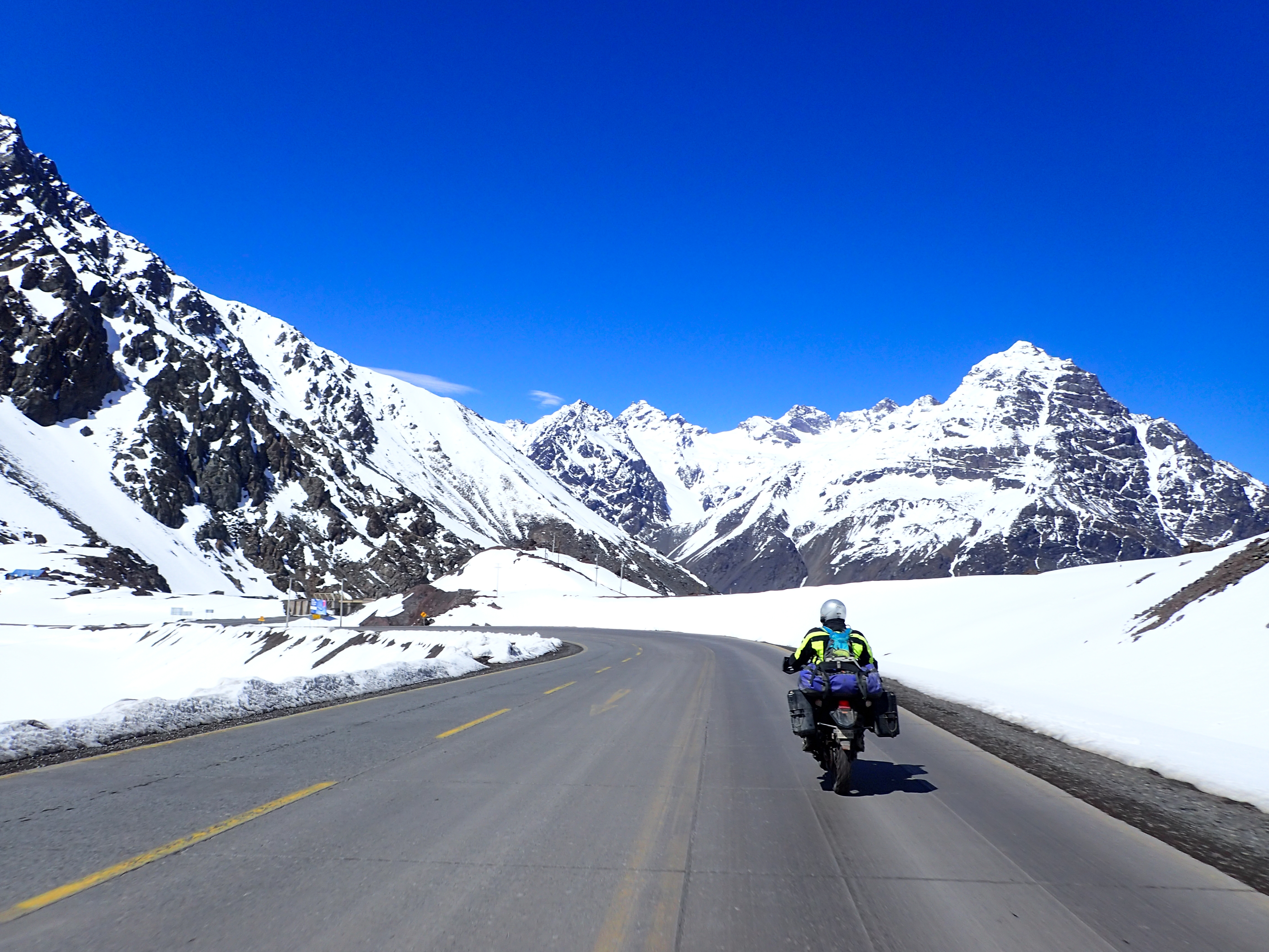
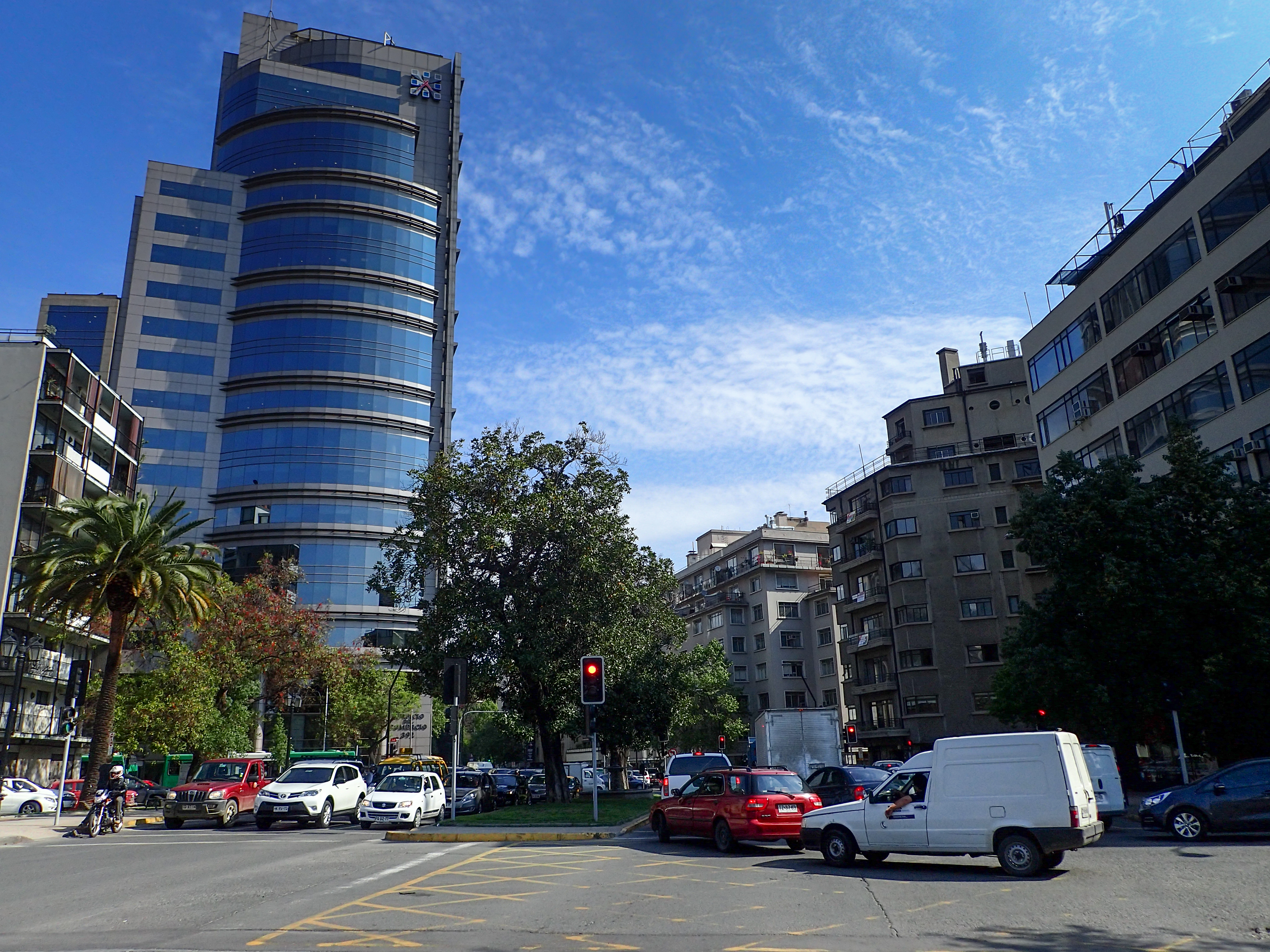
I crossed my fingers and headed up the pass to Chile. Freezing cold but gorgeous snow capped mountains. The border was mostly easy and only took about 40 mins. The ride through Santiago wasn’t too bad and eventually we found the KTM dealer. They had lots of parts I needed/wanted but not a camshaft. I will need to get that in the U.S. After KTM we headed to find a hostel and the traffic was atrocious. Eventually we found a hostel that had a little place to tuck the bikes. We then went out and danced our faces off.Photos
-

-

-

Condors are HUGE!
-
-

-

We missed impassible snow by just a few days.
-
-


0 comments:
Post a Comment