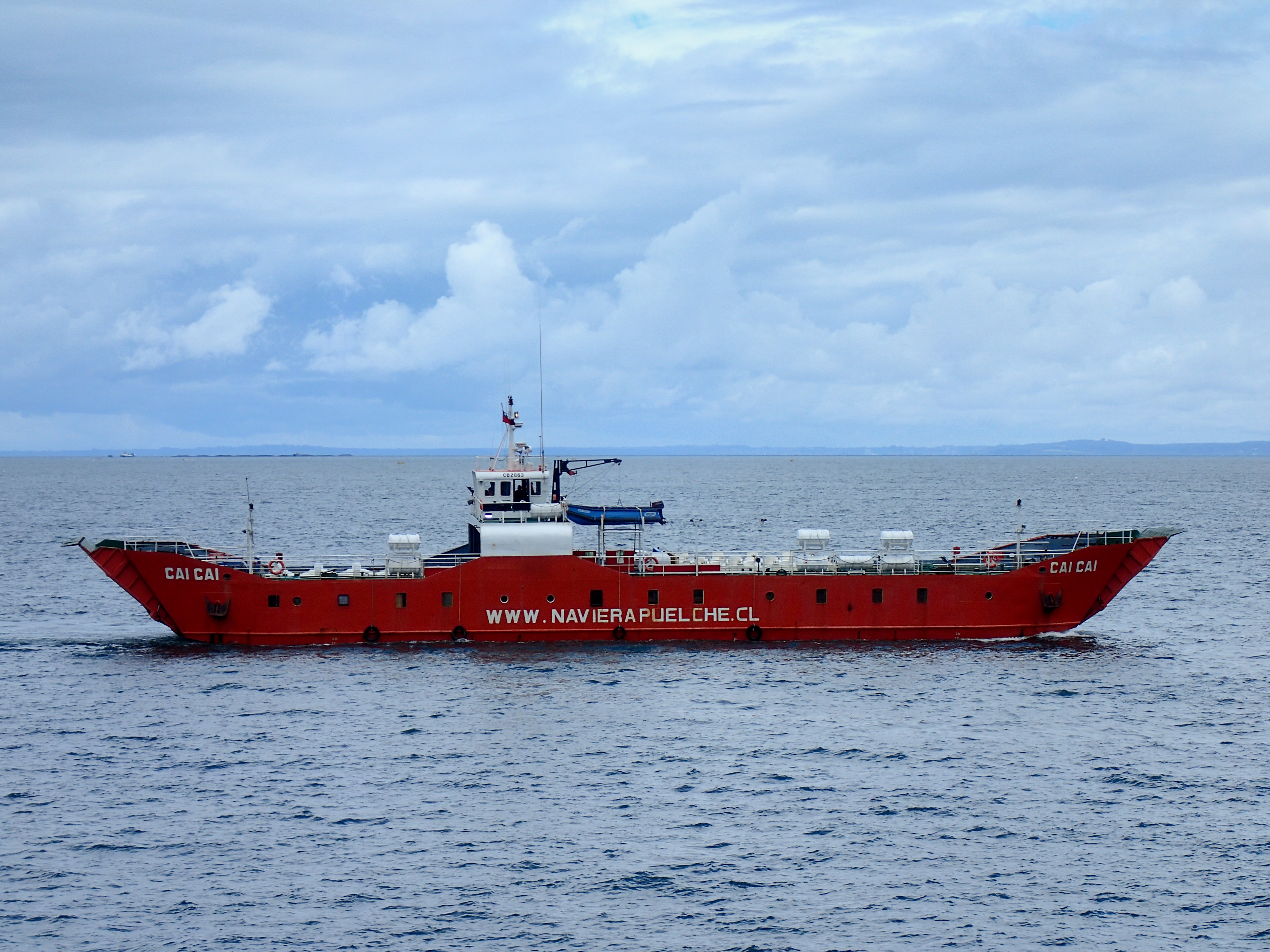
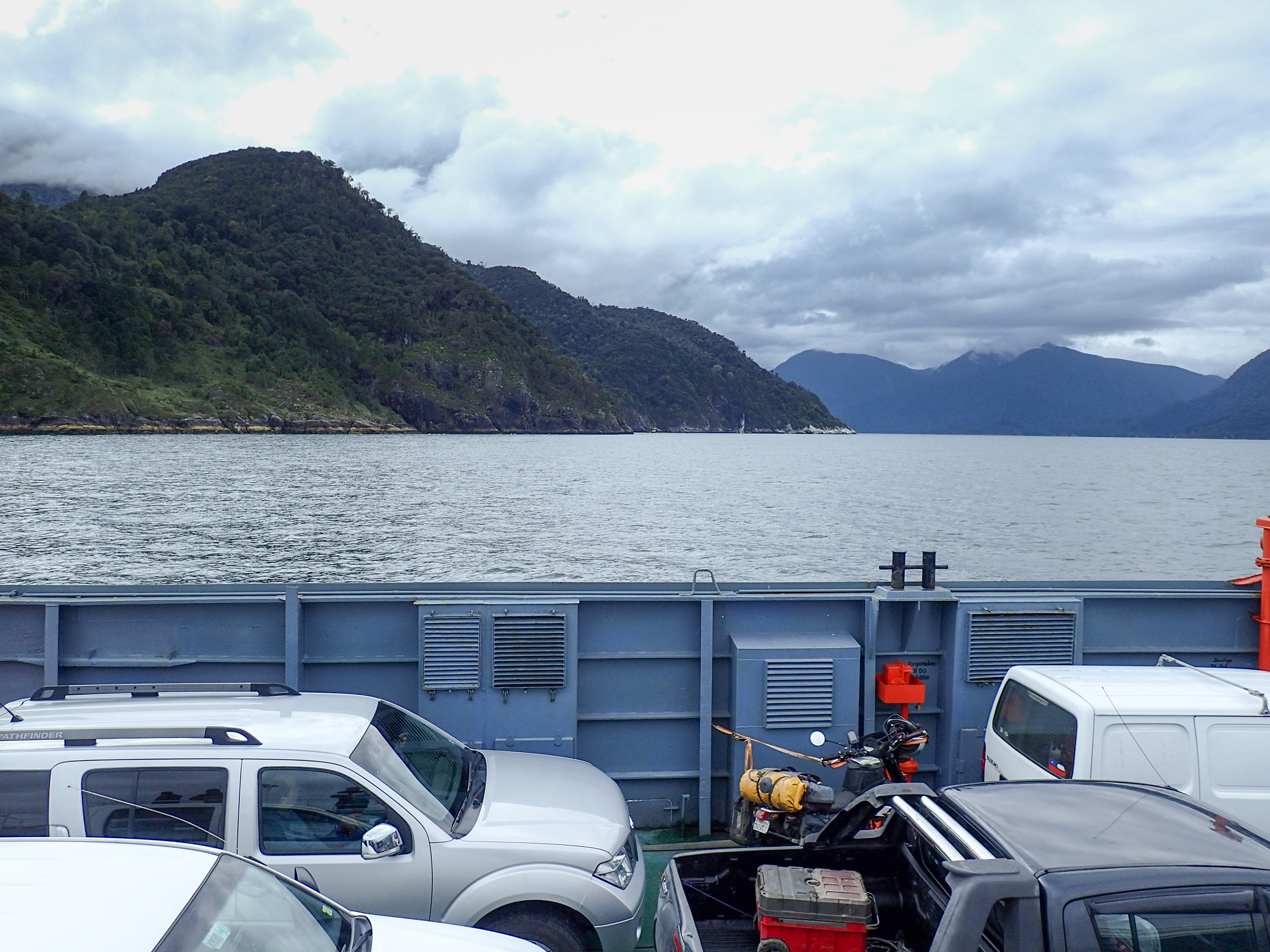
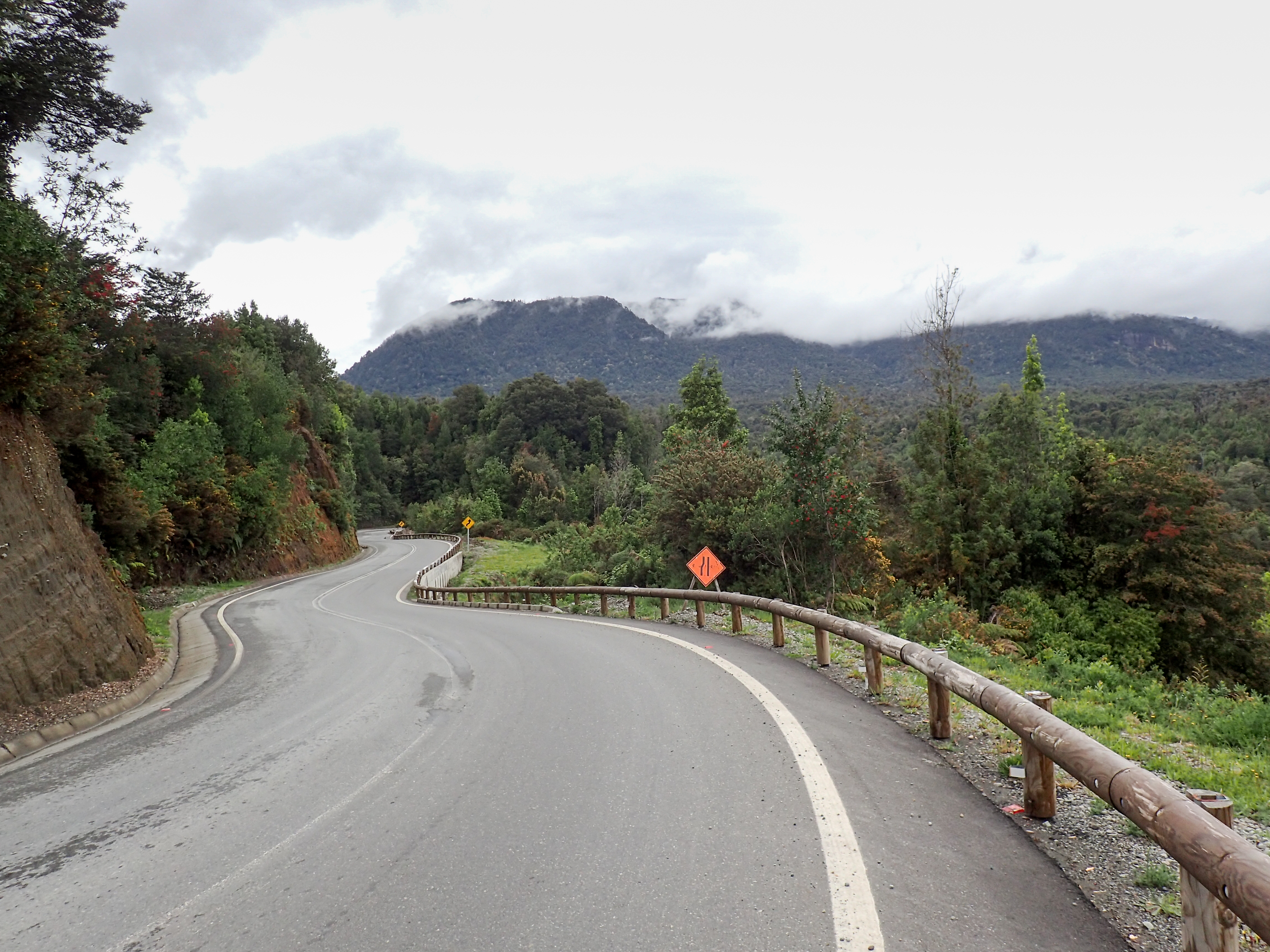
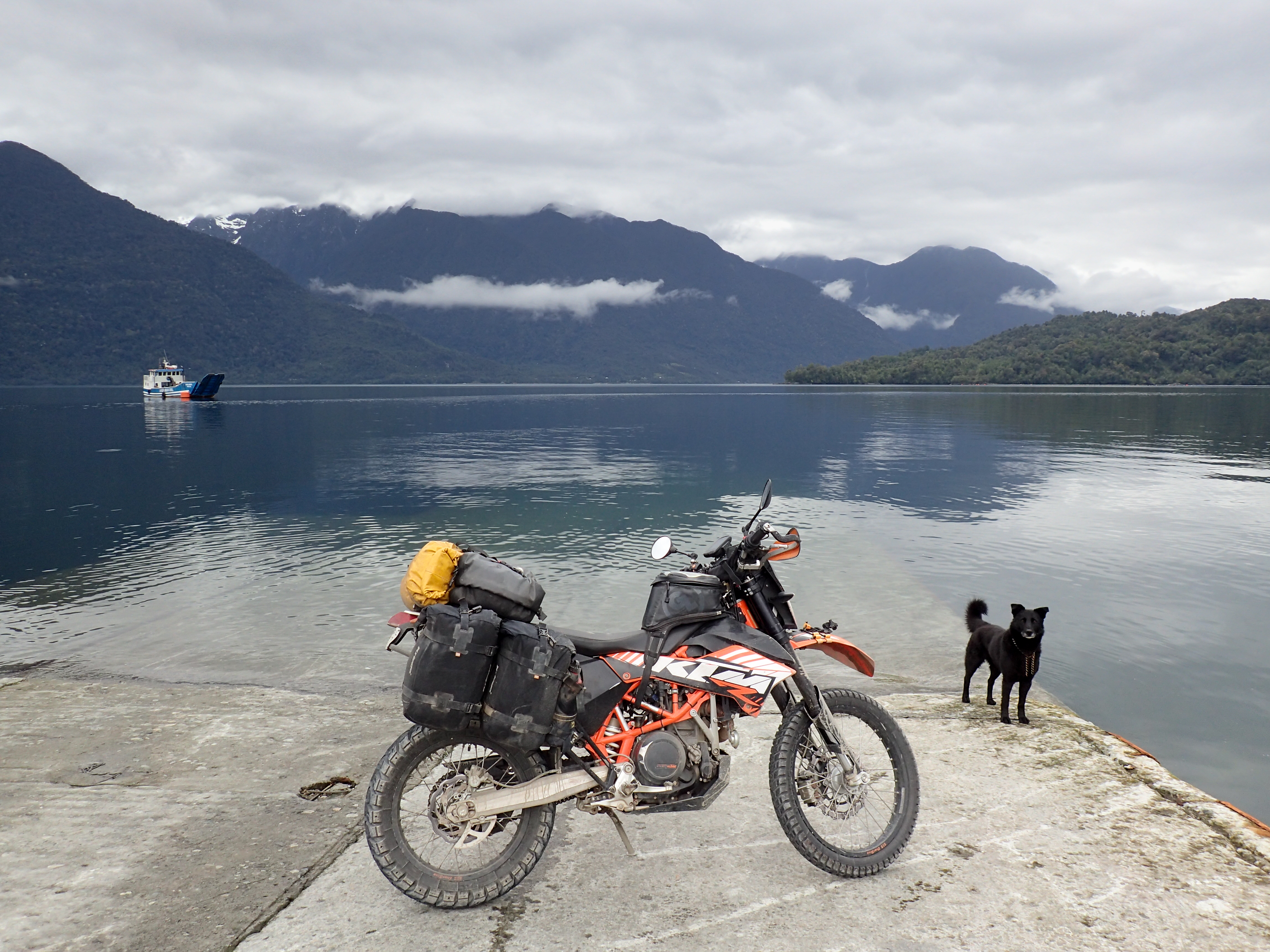
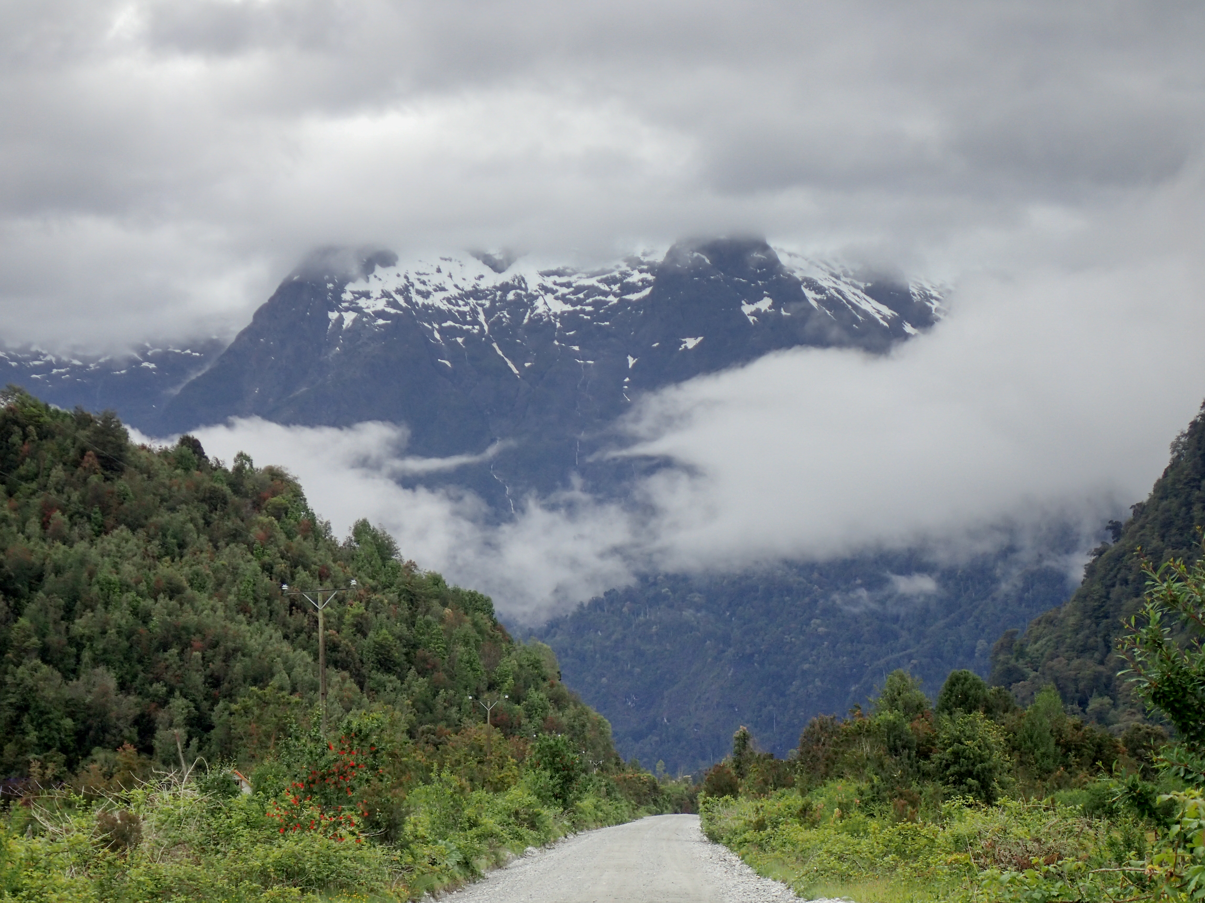
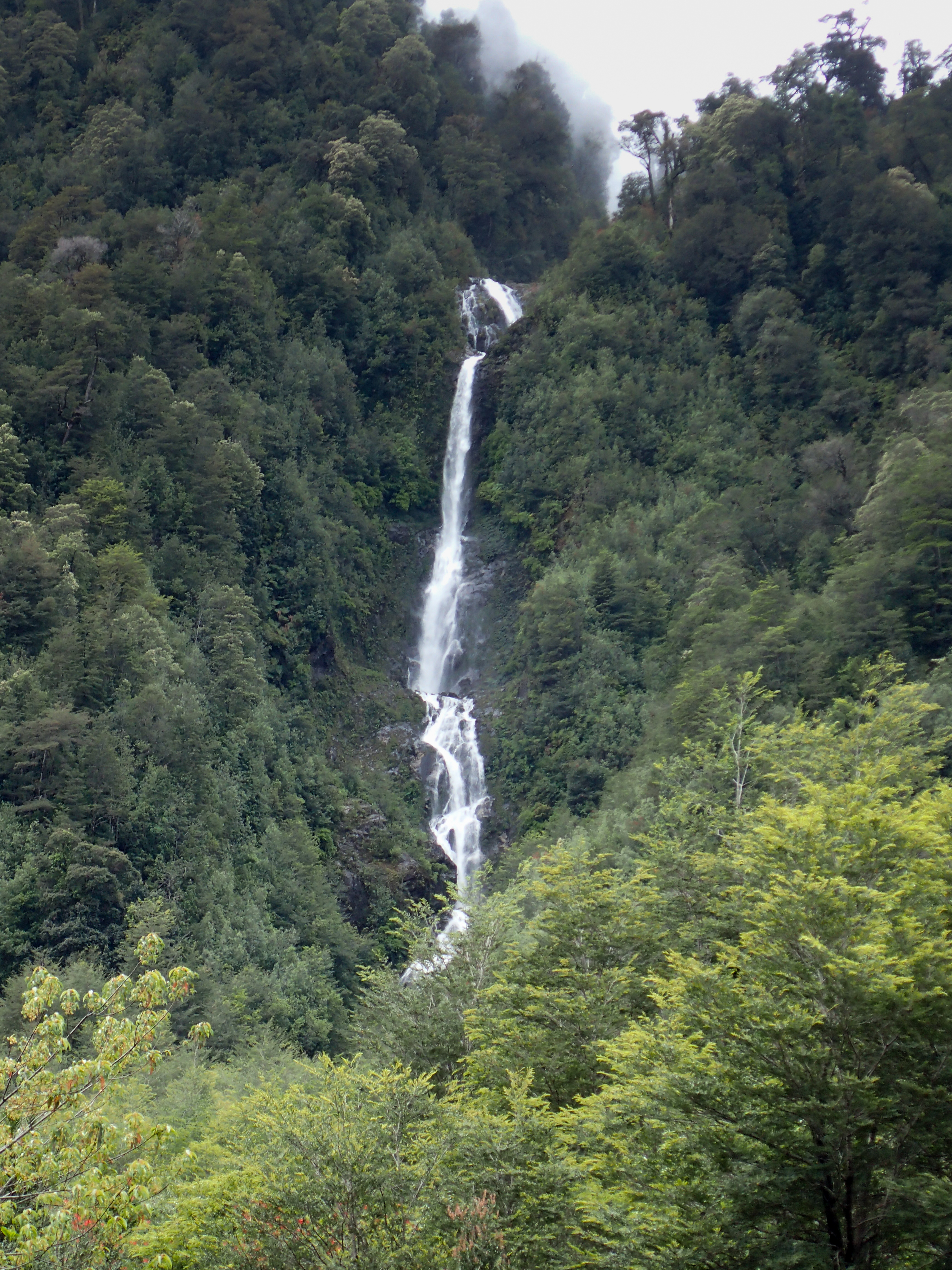
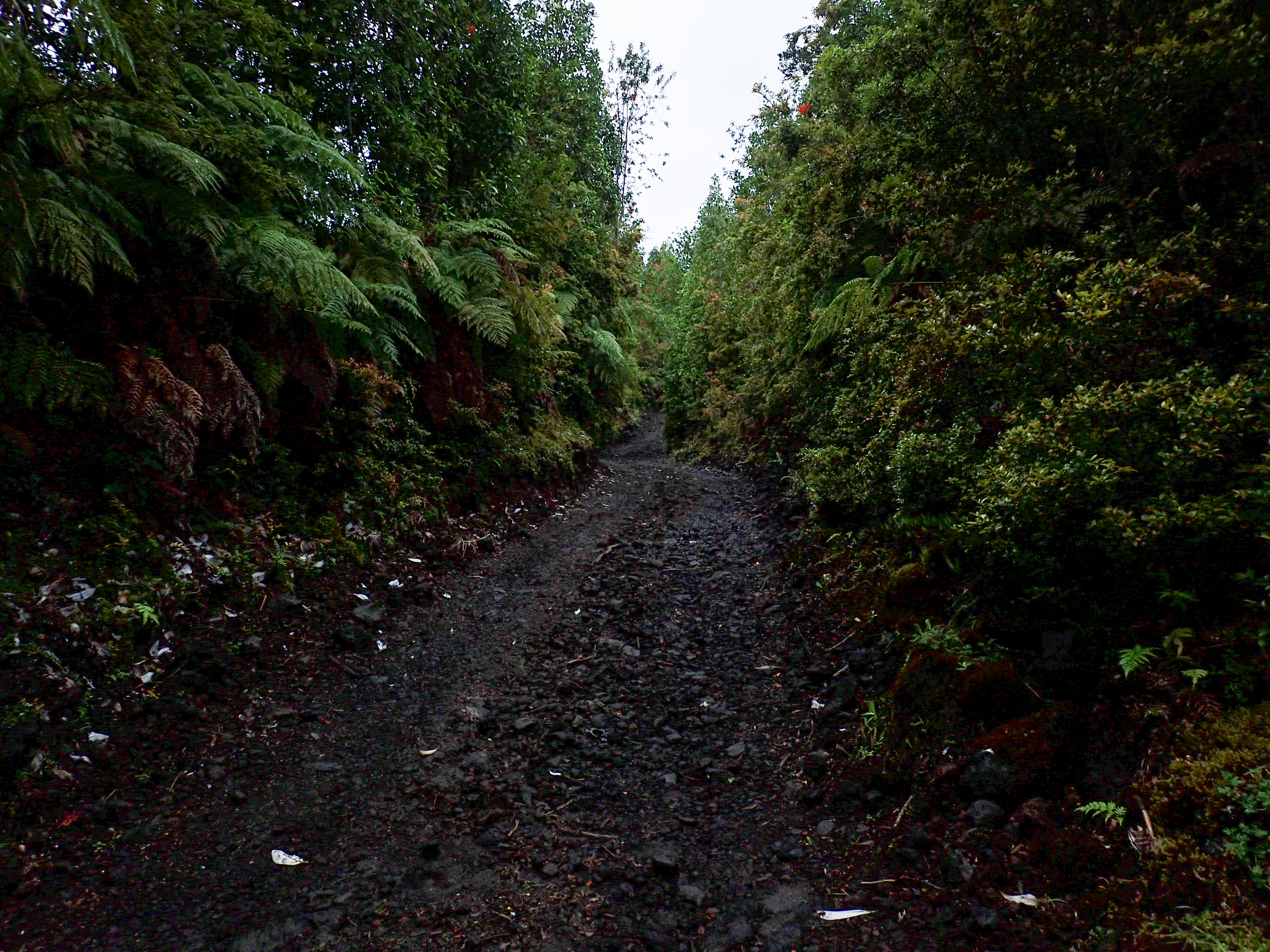
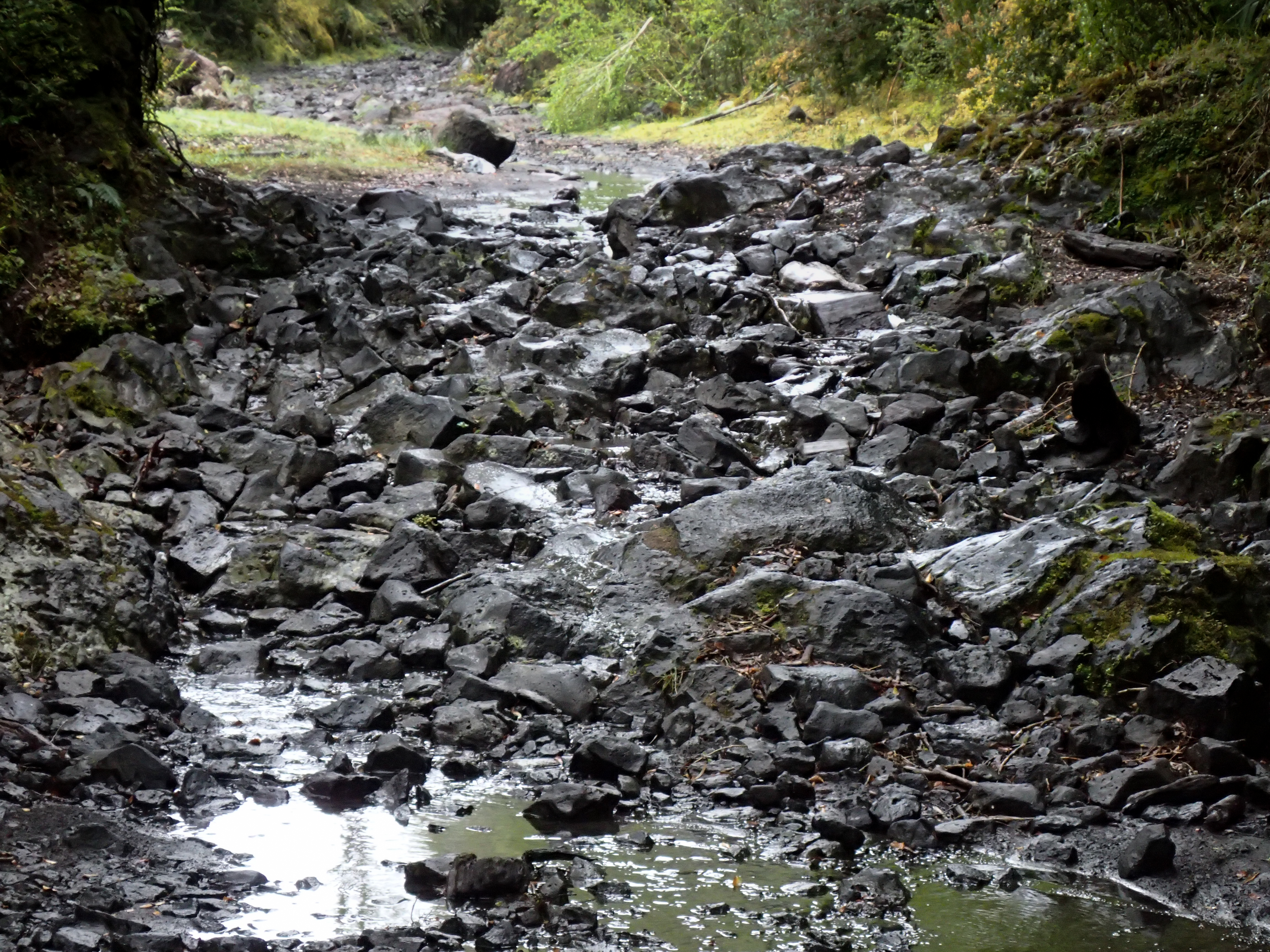
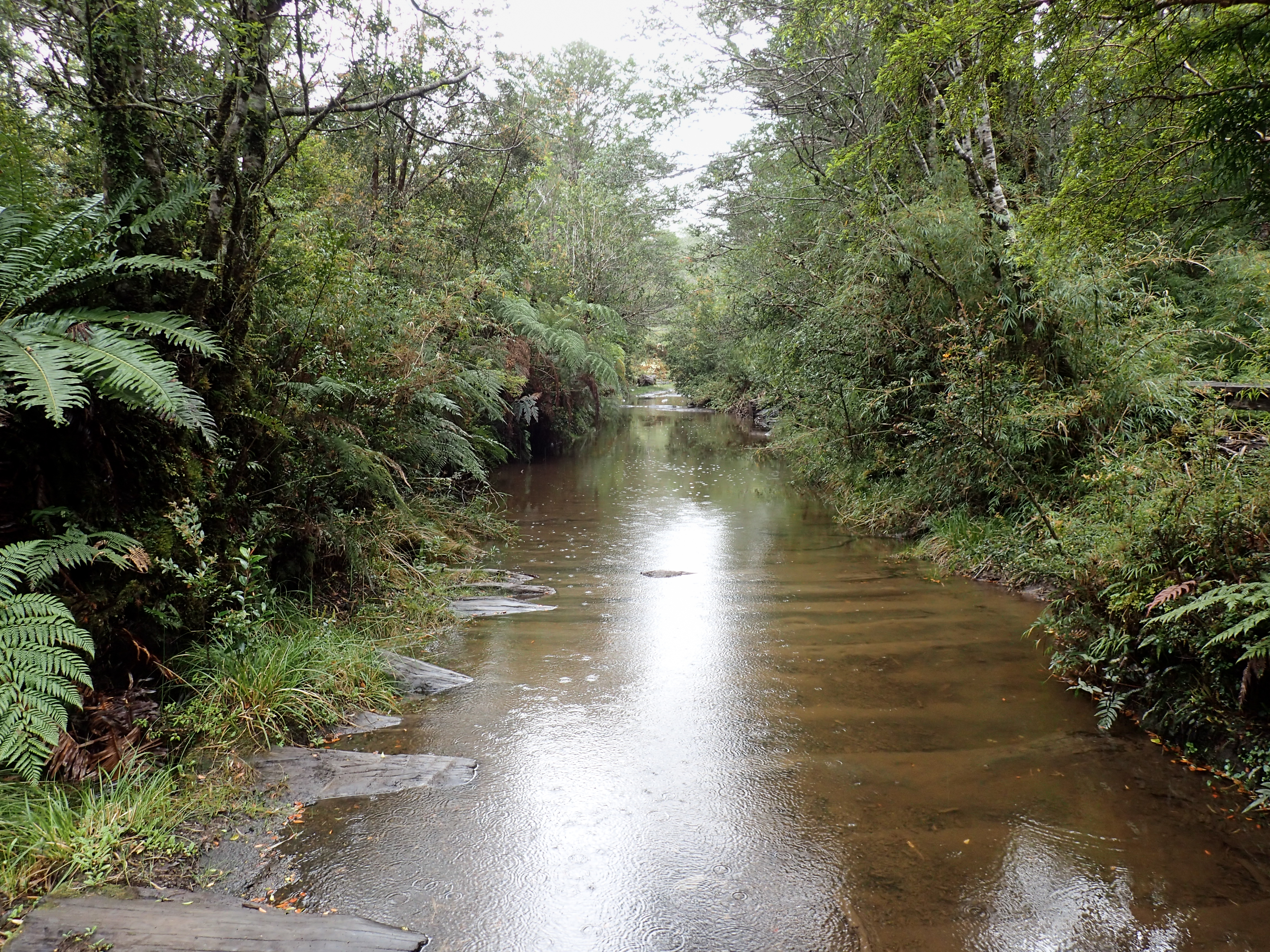
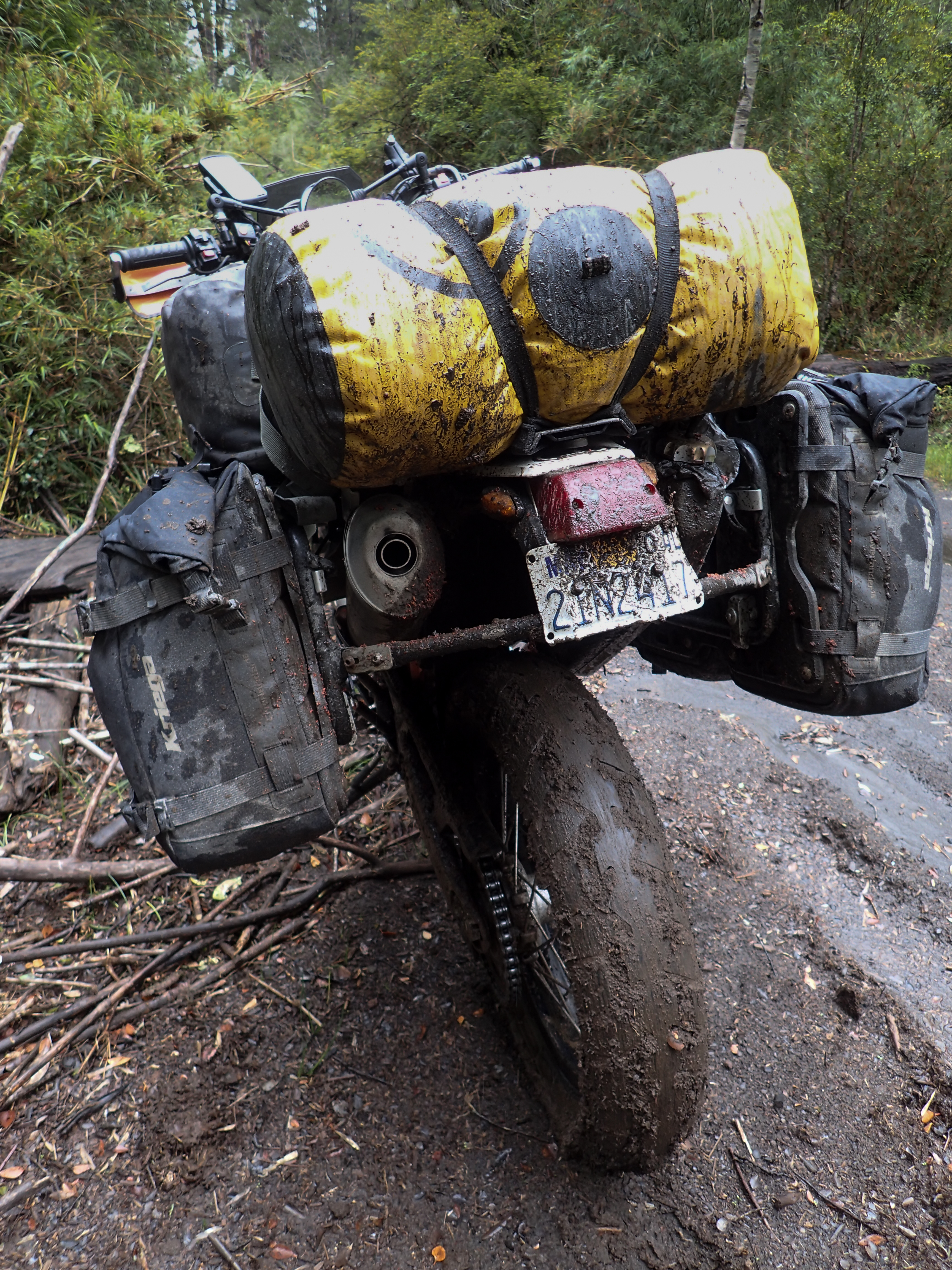
The rain has been non-stop so I woke up and waited to see if it was going to rain again before setting off. A short ride to the ferry from La Arena across and on the ferry I learned that there is another ferry on the next little peninsula but it only runs once a day. I was thinking it would be a short day. However, when I got to Hornopiren, the next port town, I decided to go exploring. A 12 km road to a lake turned into a full on steep, rocky, wet, muddy 4x4 road. At some point I went too far not to try and make the lake all the while the puddles and mud were getting deeper, the rocks were getting bigger and there were even parts where the road was like a rocky, staircase river. With less than 3 km to go I hit a flooded part of the trail that was impassible. The first part had been lined with logs just under the water but then the logs stopped, the water got deeper and the bottom was too soft to make it through. So all I managed to do was ride a dangerous path with full gear and cover myself with soaking wet, freezing mud. So much for an easy day. Paranoid about my valve train repairs I decided to open up the valve cover and just make sure nothing was amiss…everything was fine.


0 comments:
Post a Comment