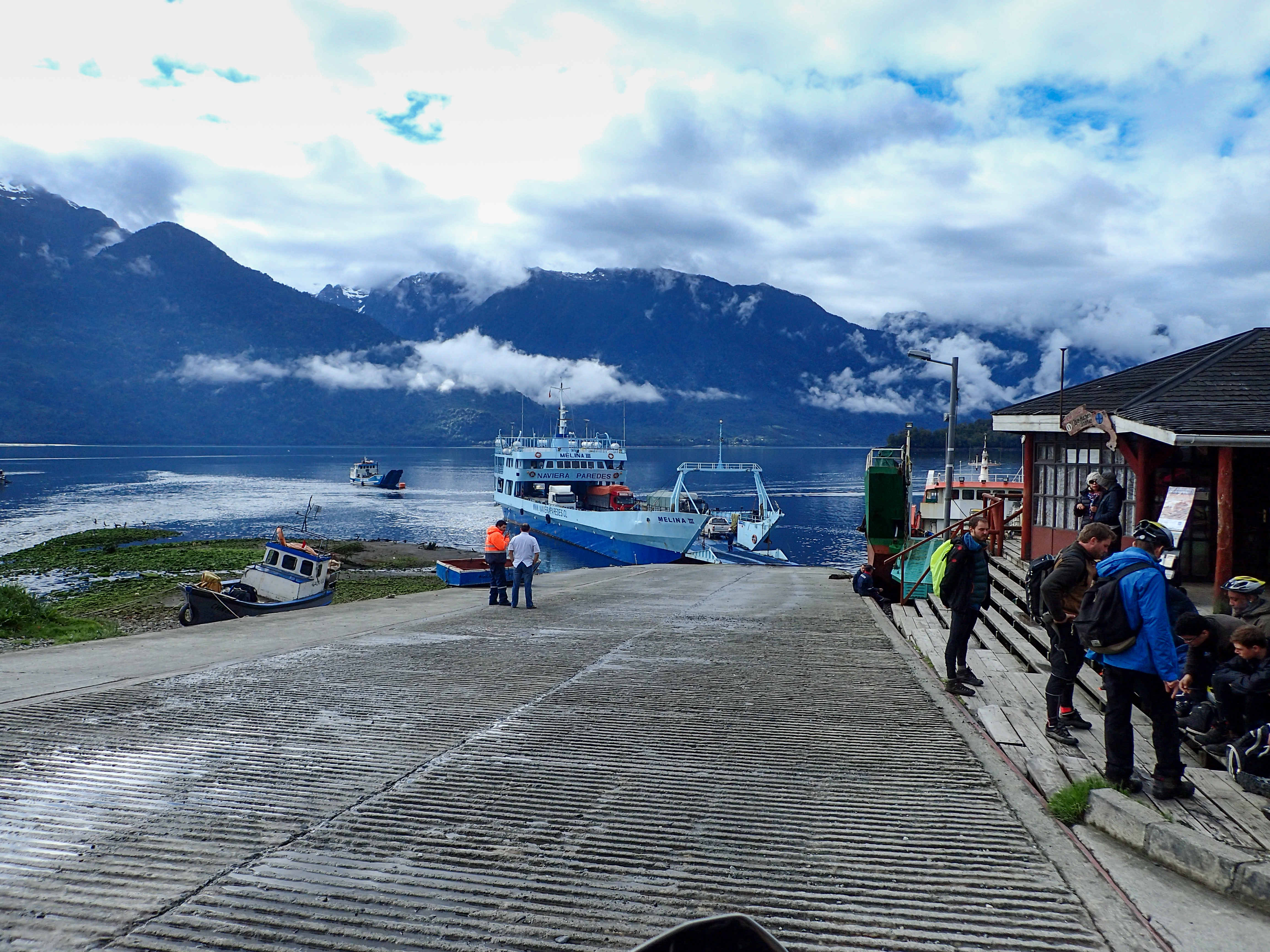
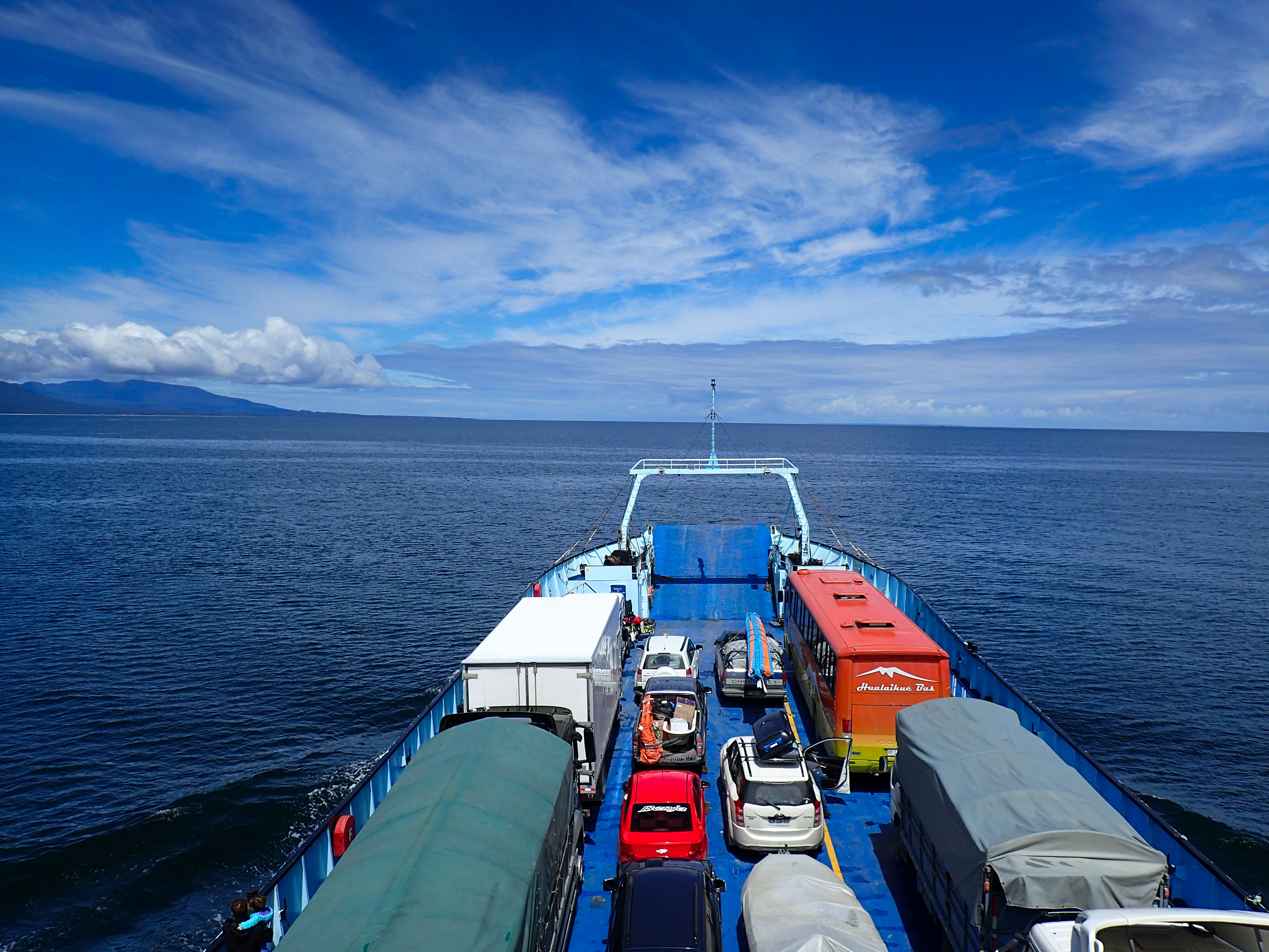
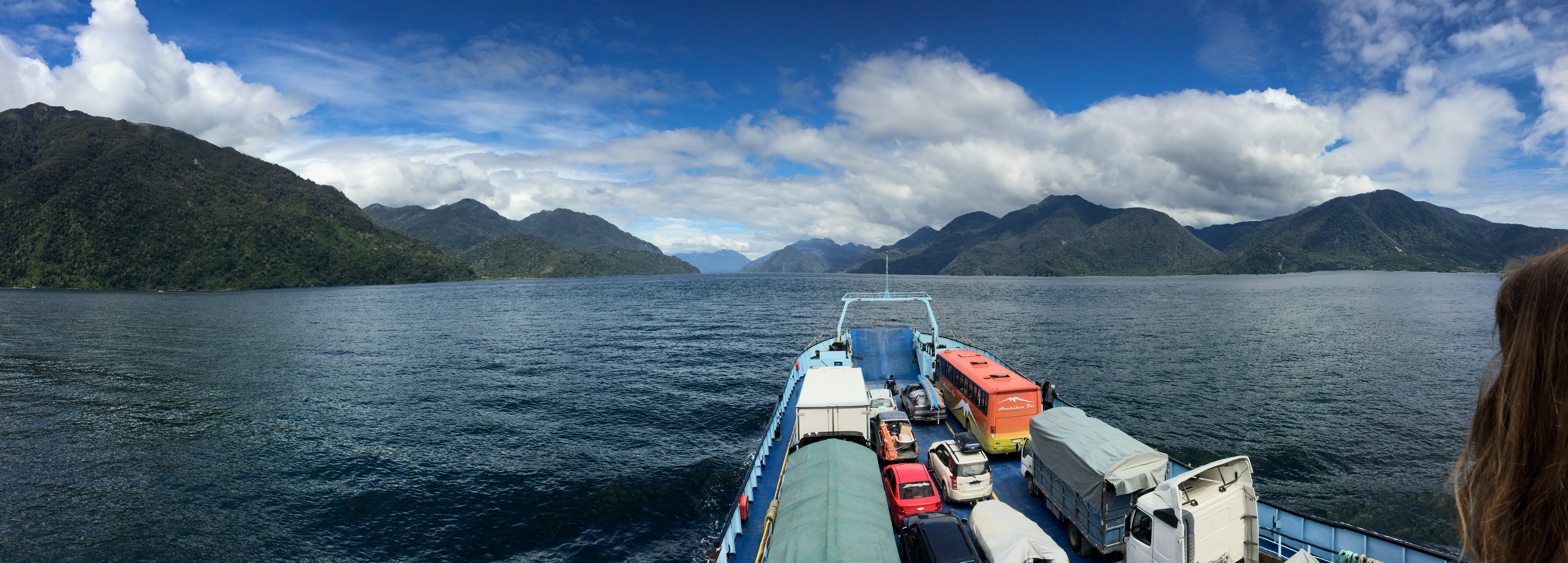
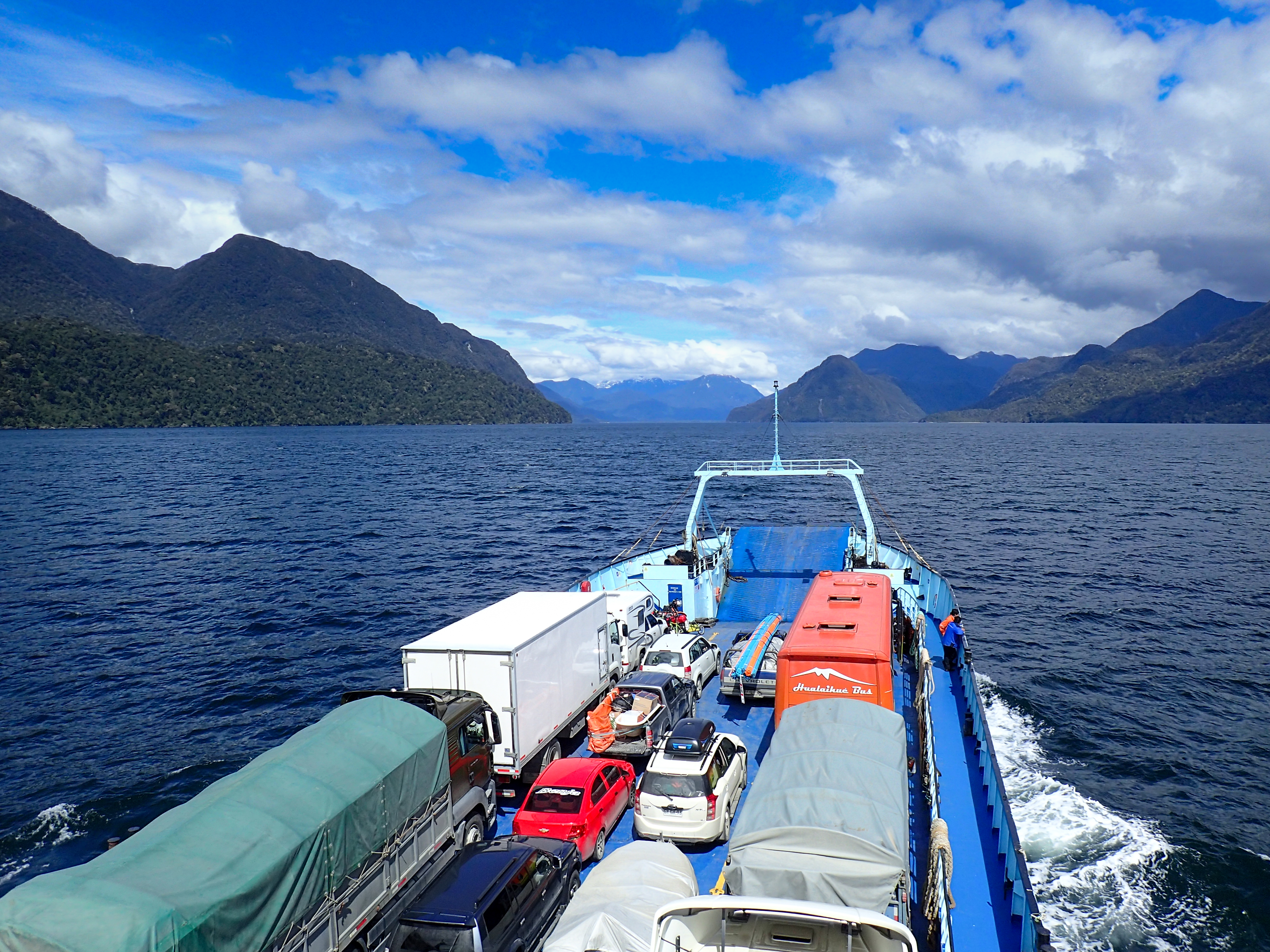
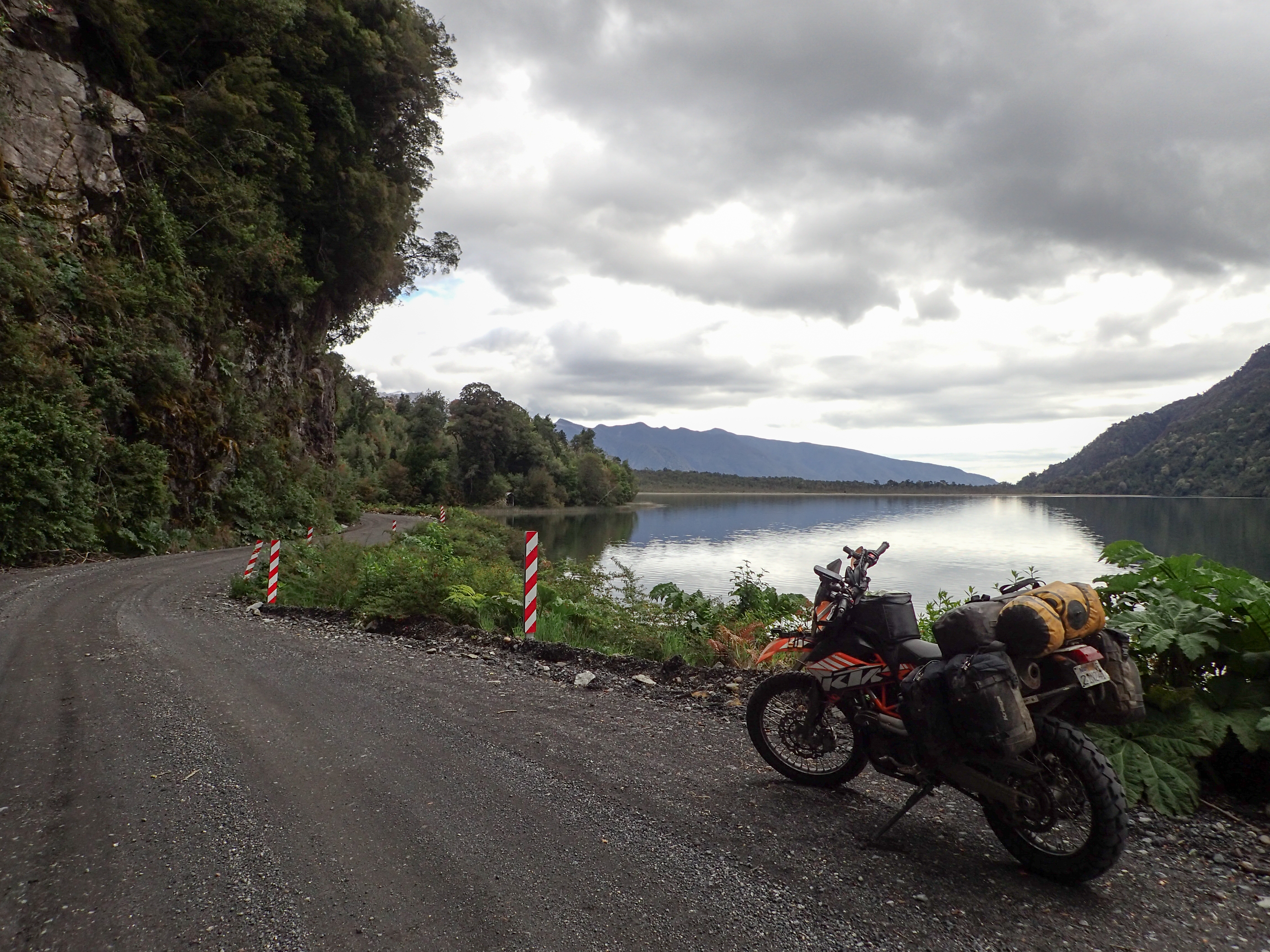
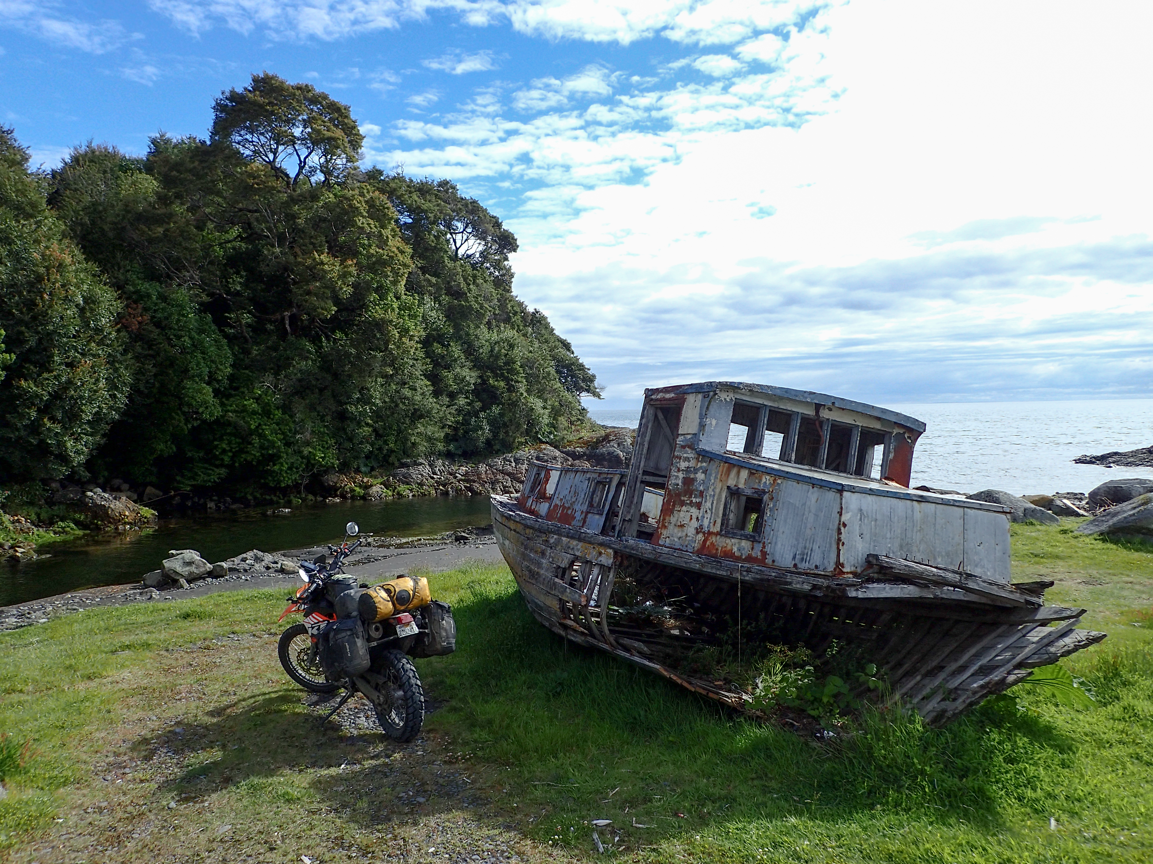
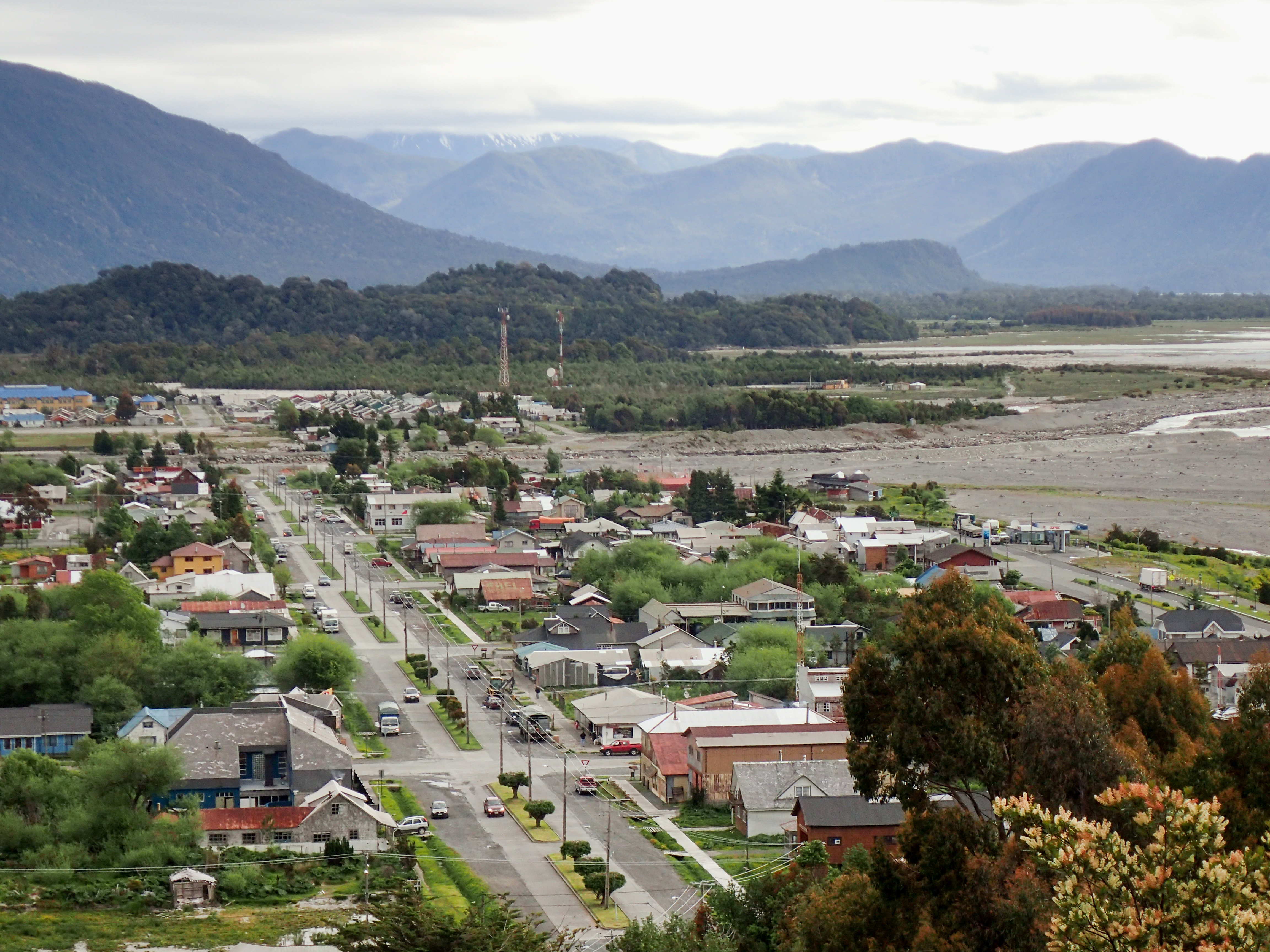
5 hour ferry ride starting less than a mile from my hospedaje. Then a short (1 hr) ride to Chaiten to spend the night. It was a short riding day but I met a bunch of cool people on the ferry, got some ideas of where to go and got a taste of what Patagonia riding might be like. Beautiful bays, volcanoes, dramatic mountains and this is just the beginning!


0 comments:
Post a Comment