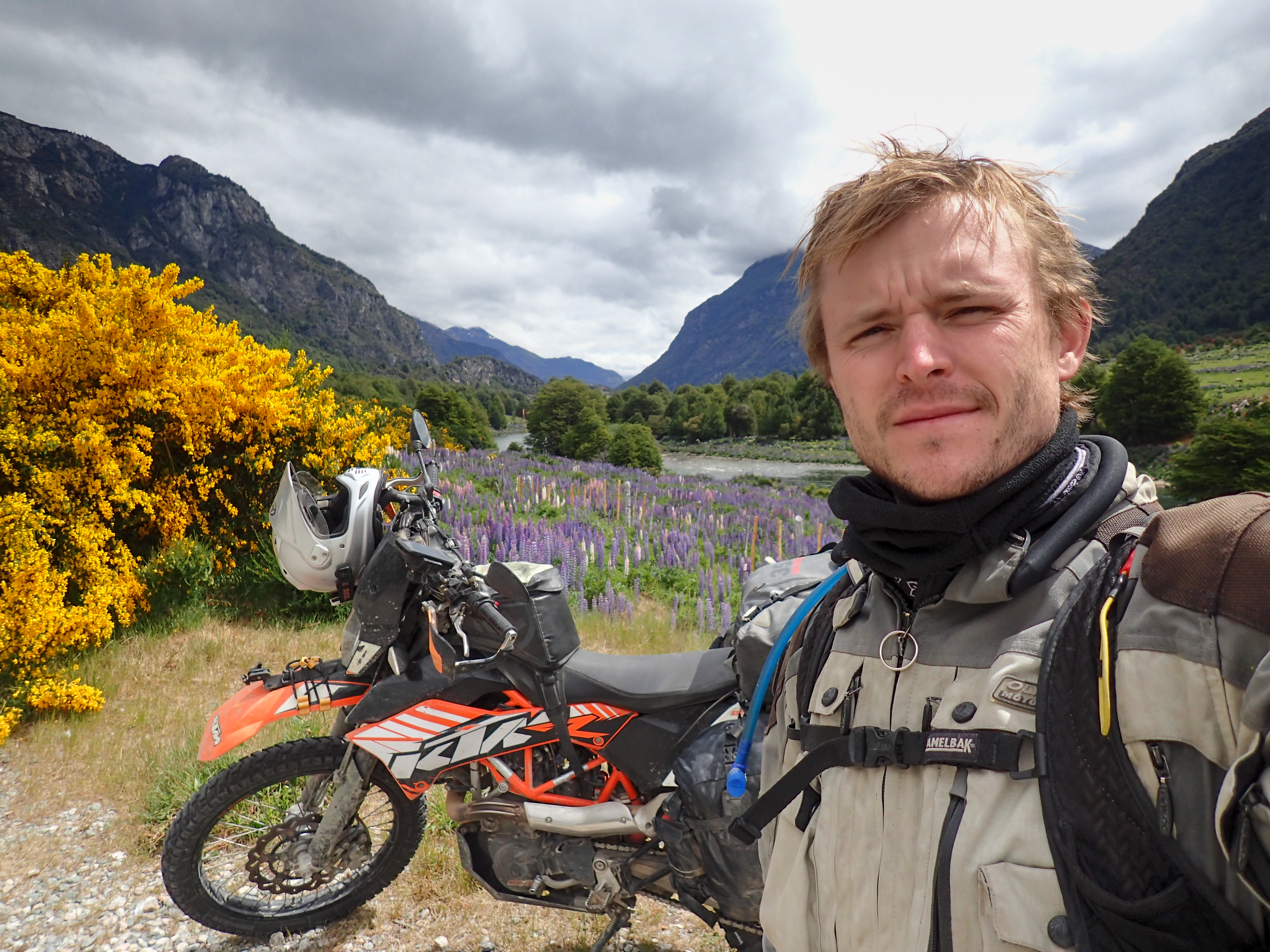
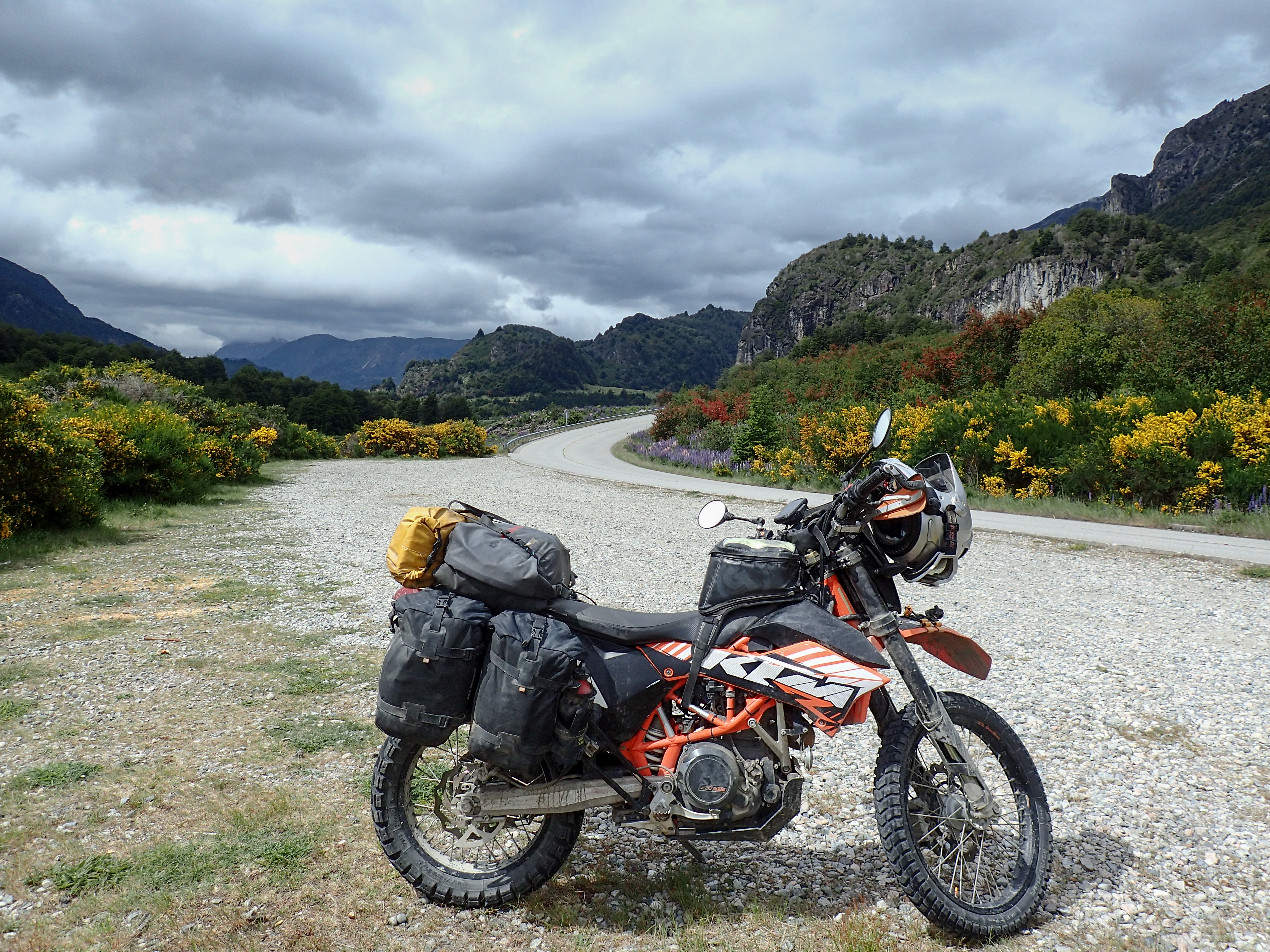
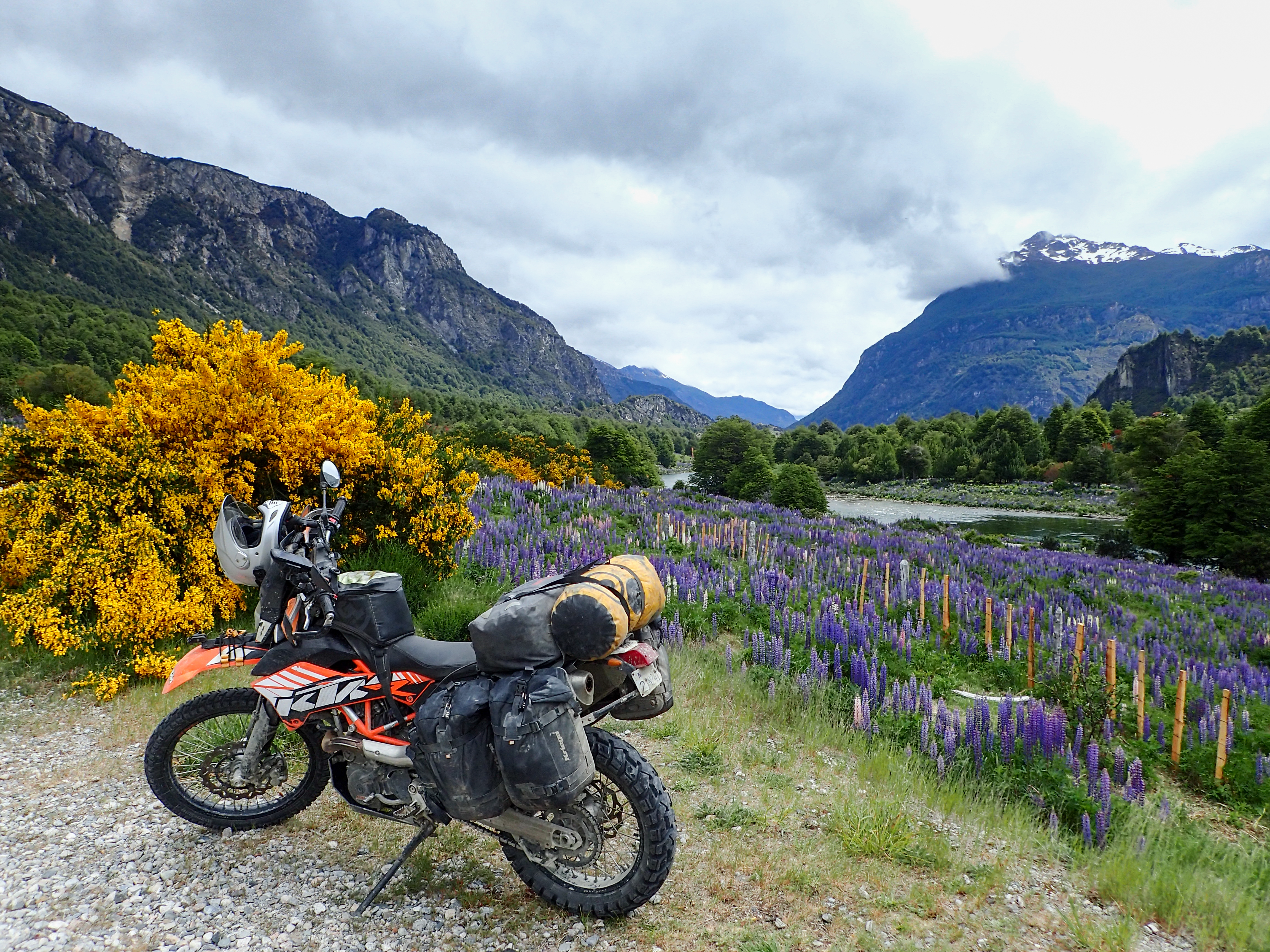
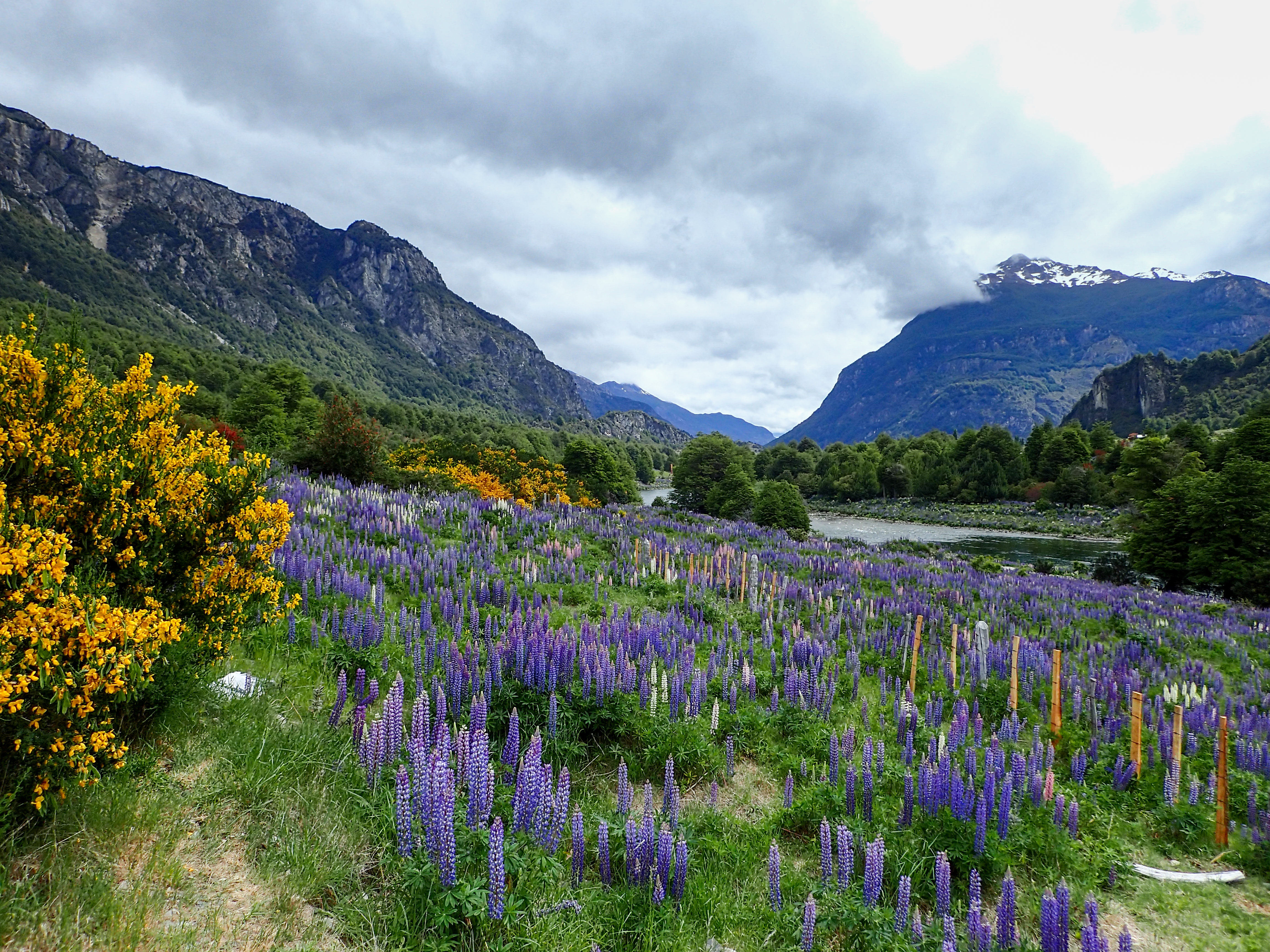
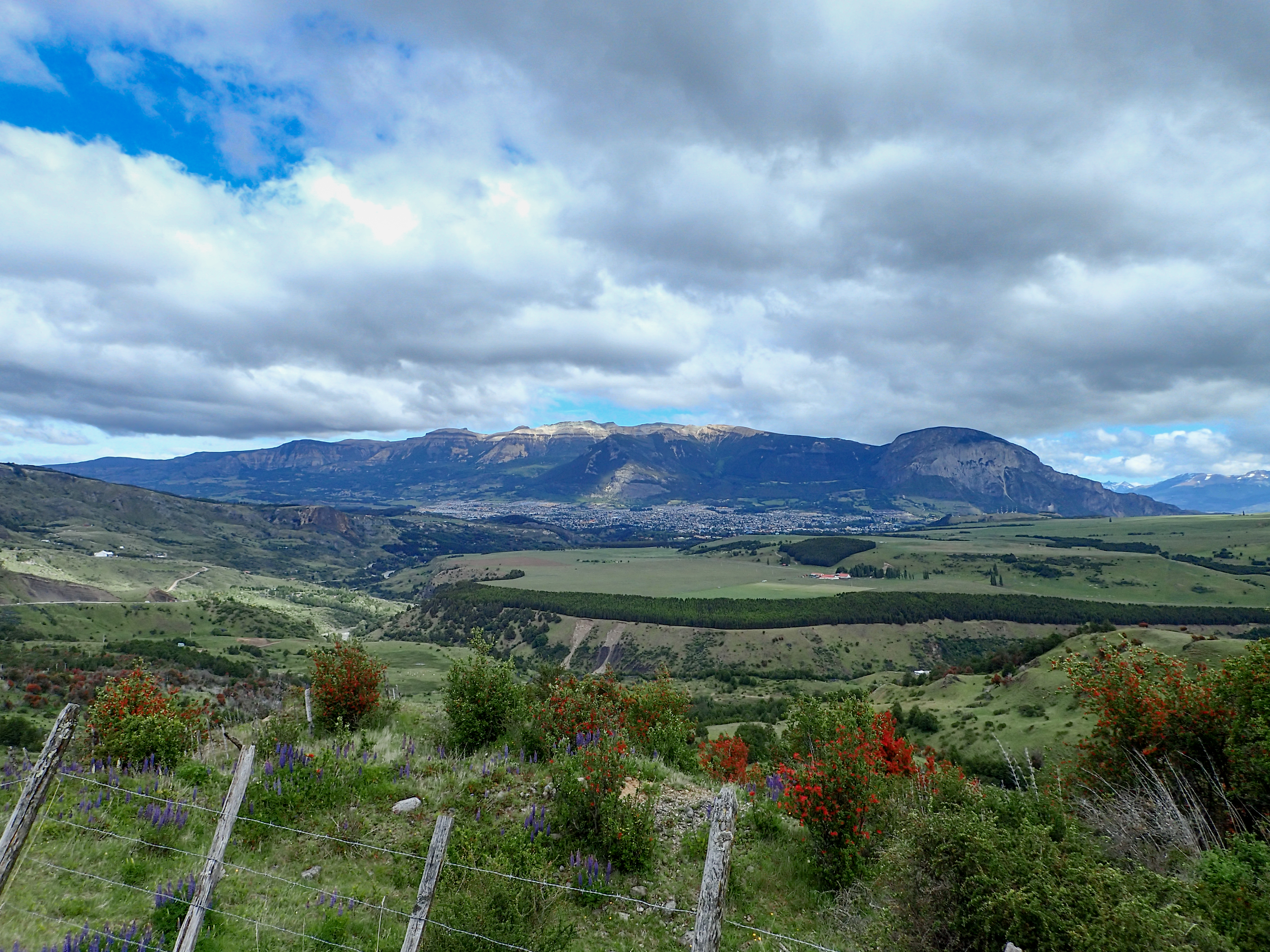
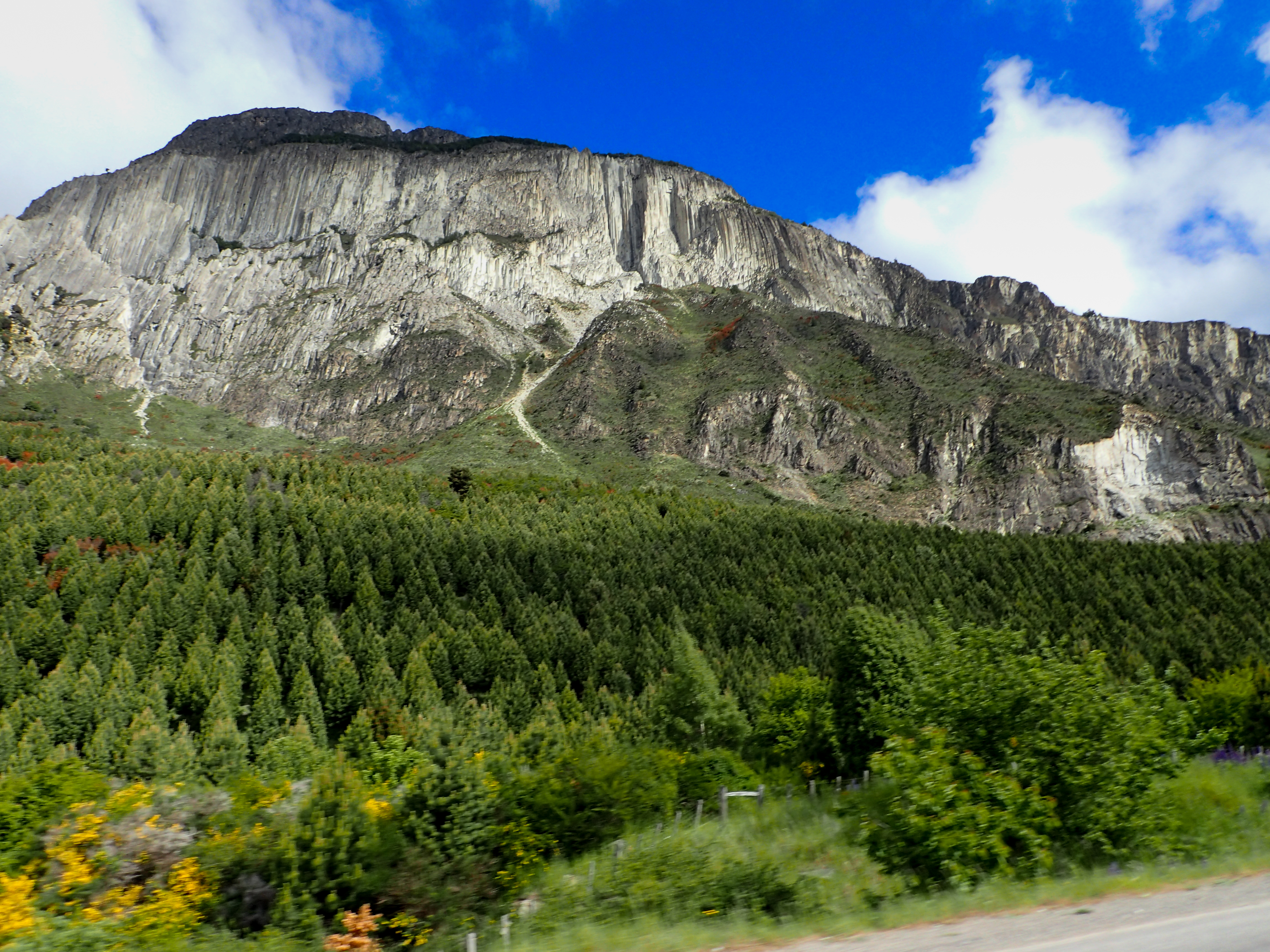
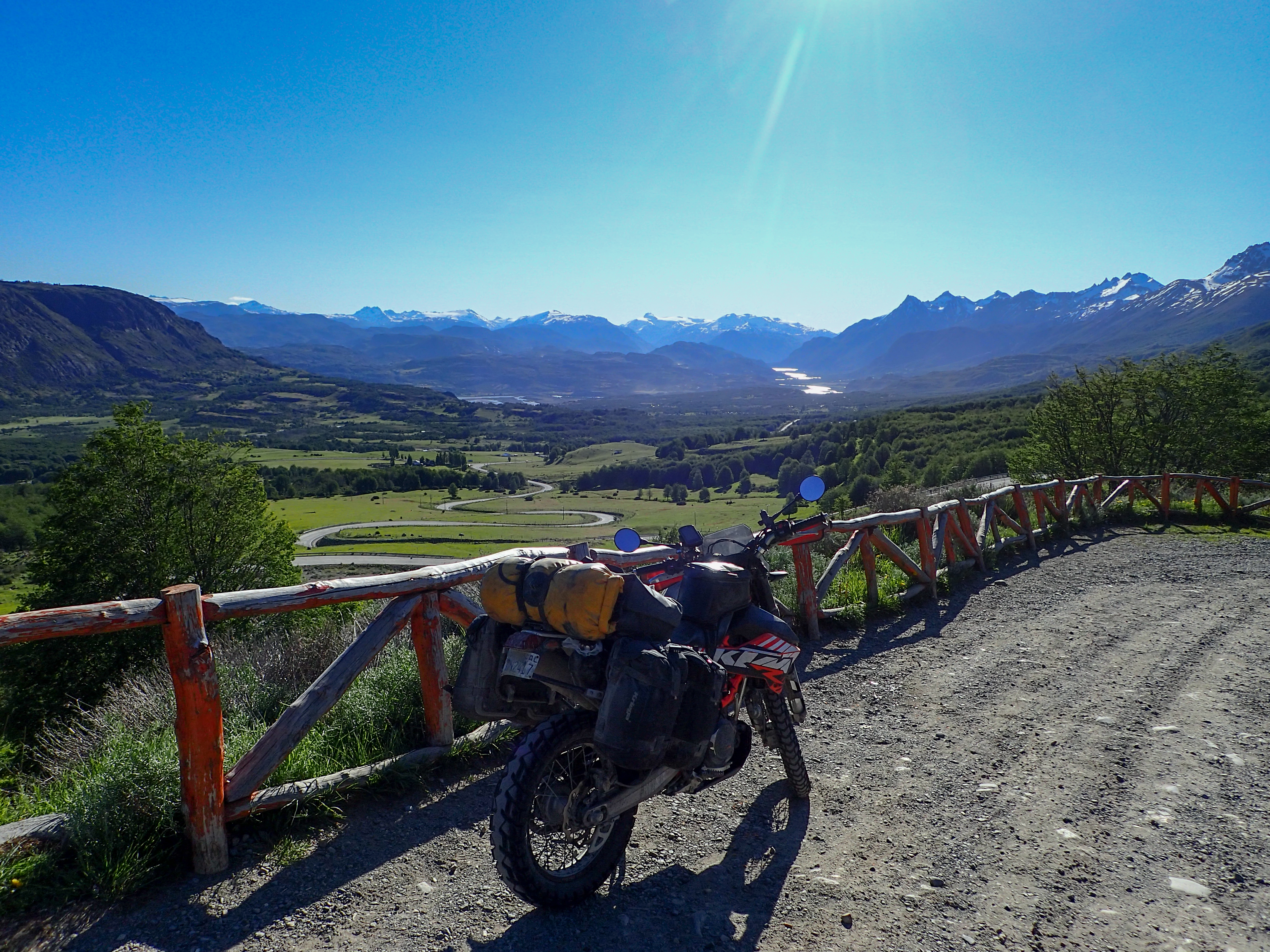
Was planning for a longer riding day heading further south down the Austral. My goal was to make it to Couhaique, the largest city on the Austral. The riding was again a mix of pavement and dirt and mostly straight and flat although today there were a few climbs around mountains and some curvy roads around some lakes as well. I made good time even with many photo stops and some slight detours and ended up making it all the way to Villa Cerro Castillo. The further south I get the more beautiful the scenery gets, the next couple of weeks should be good!


0 comments:
Post a Comment