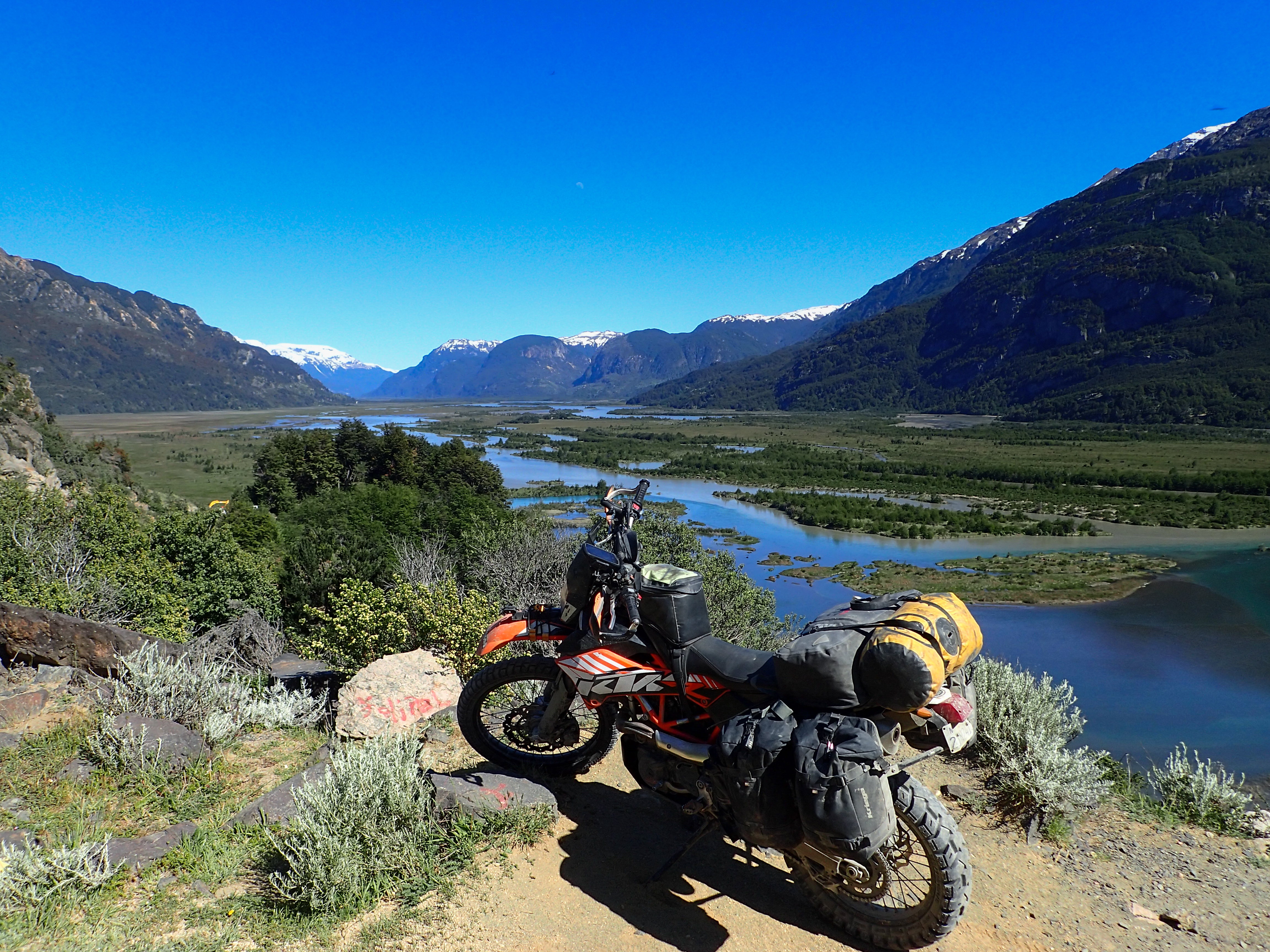
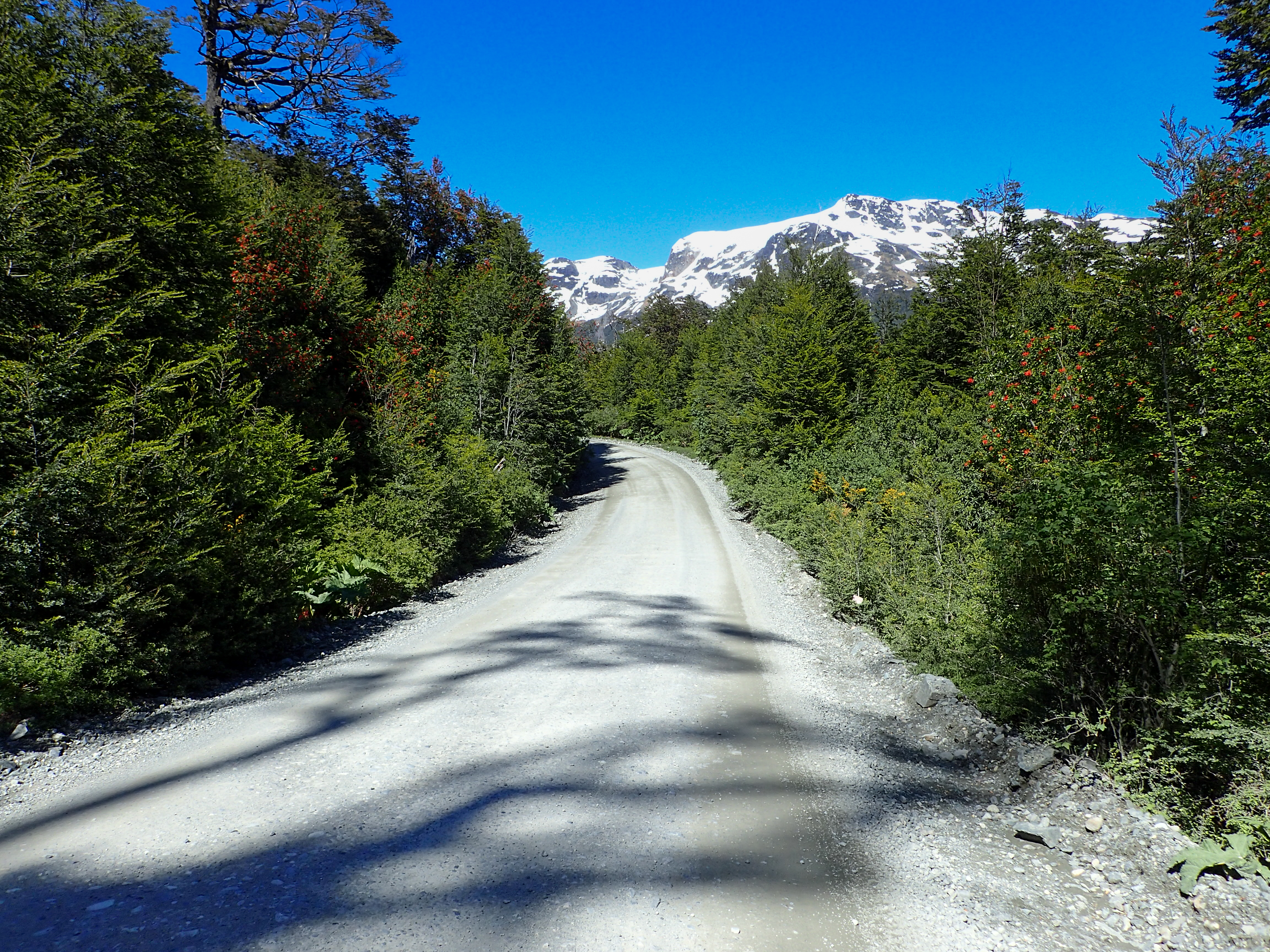
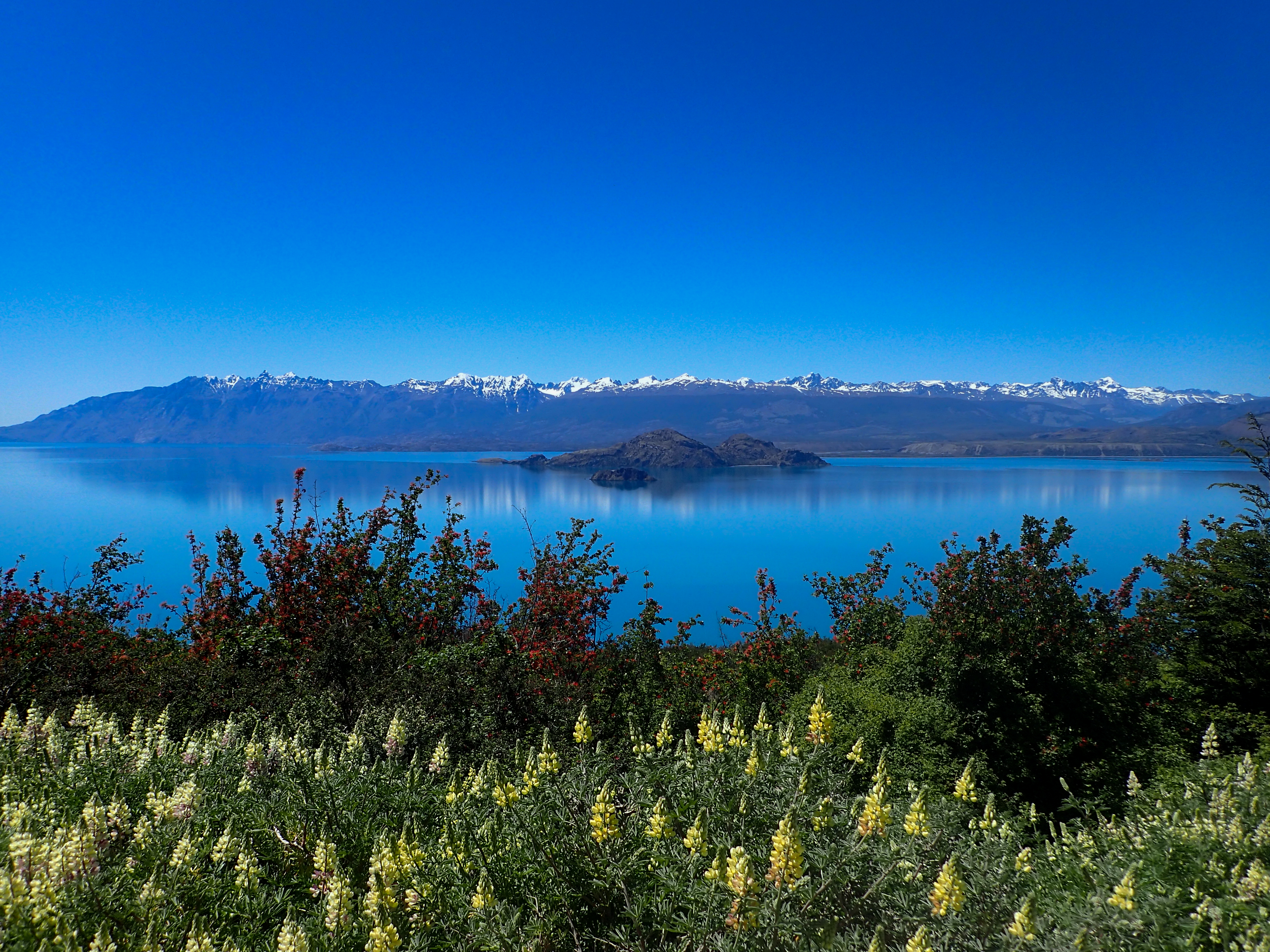
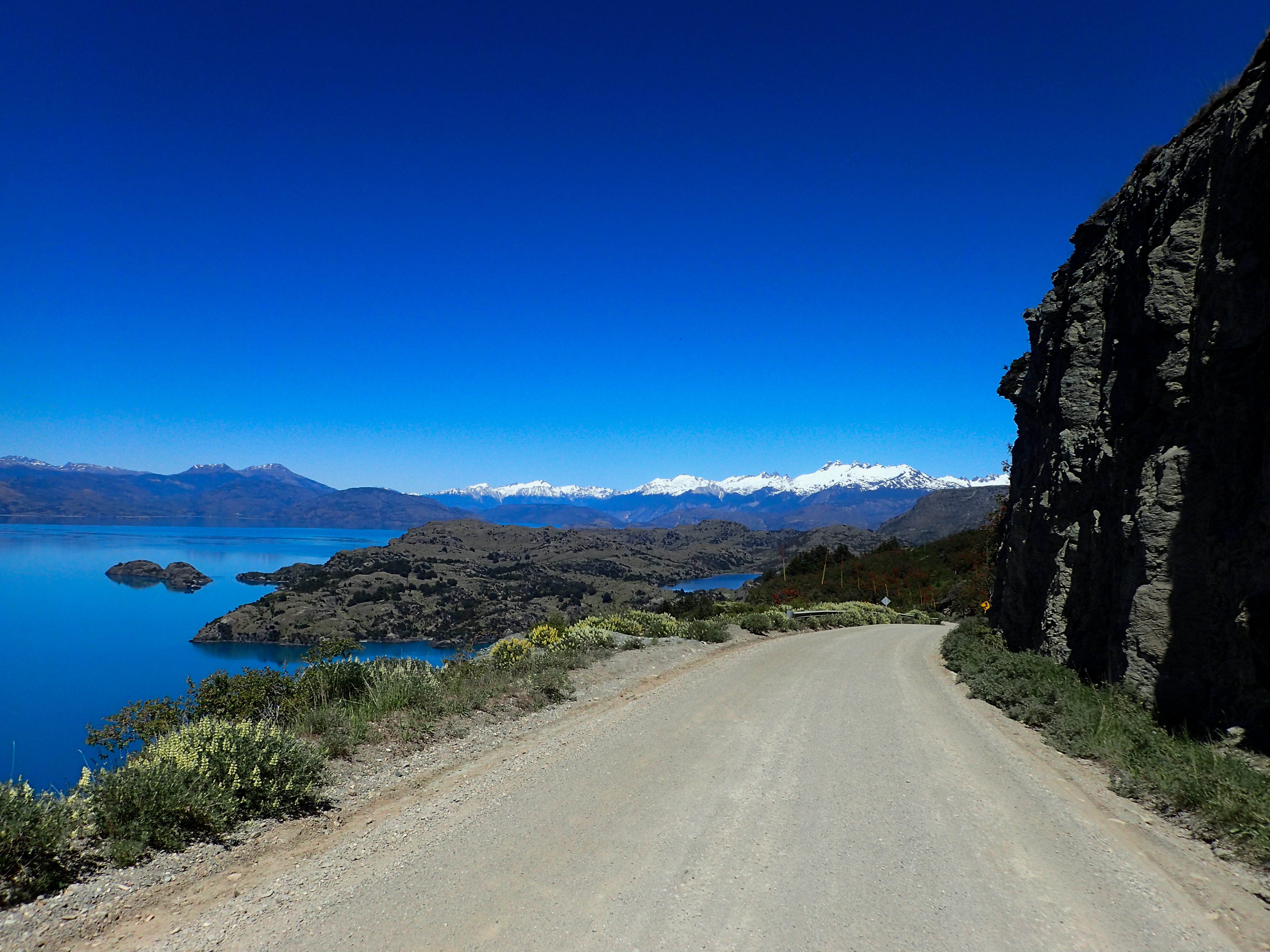
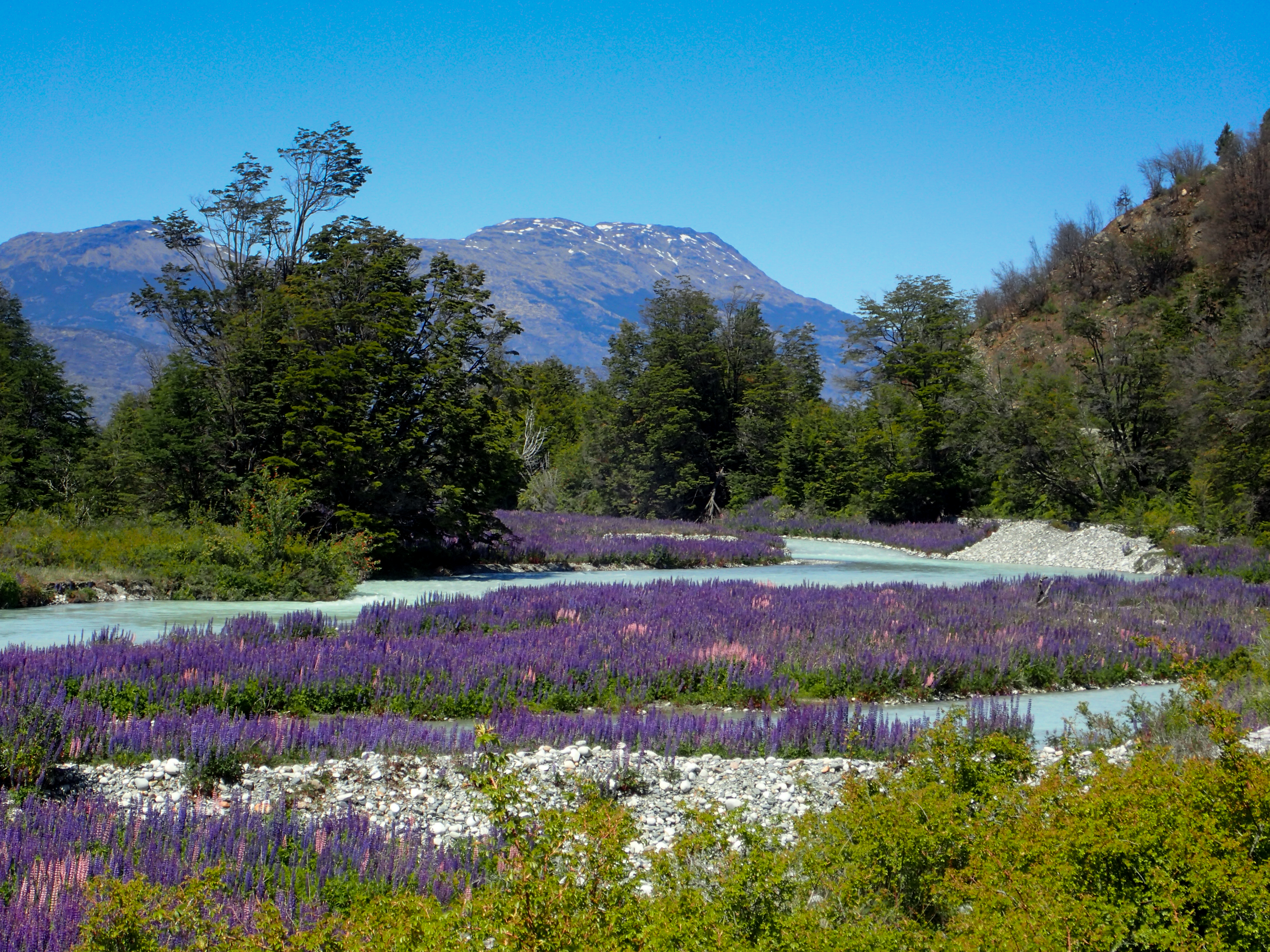
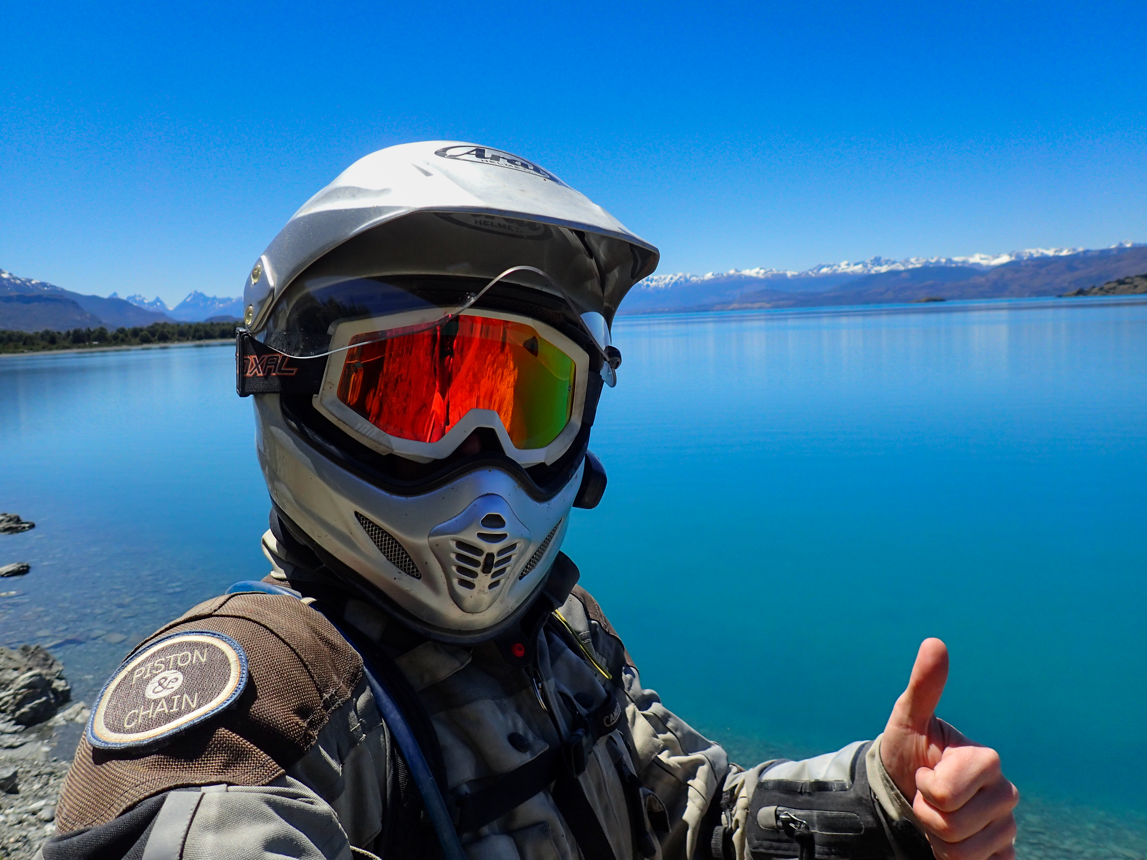
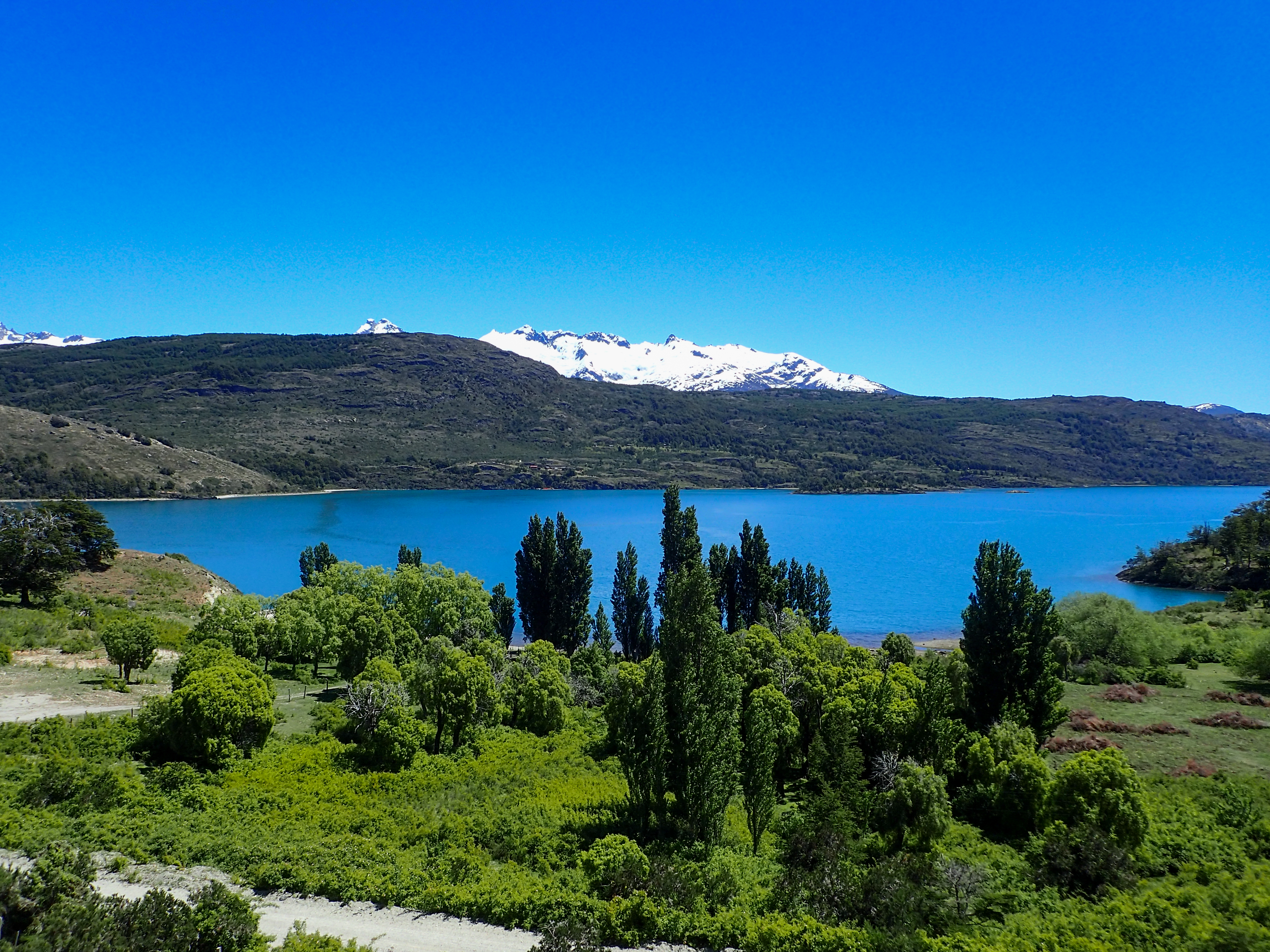
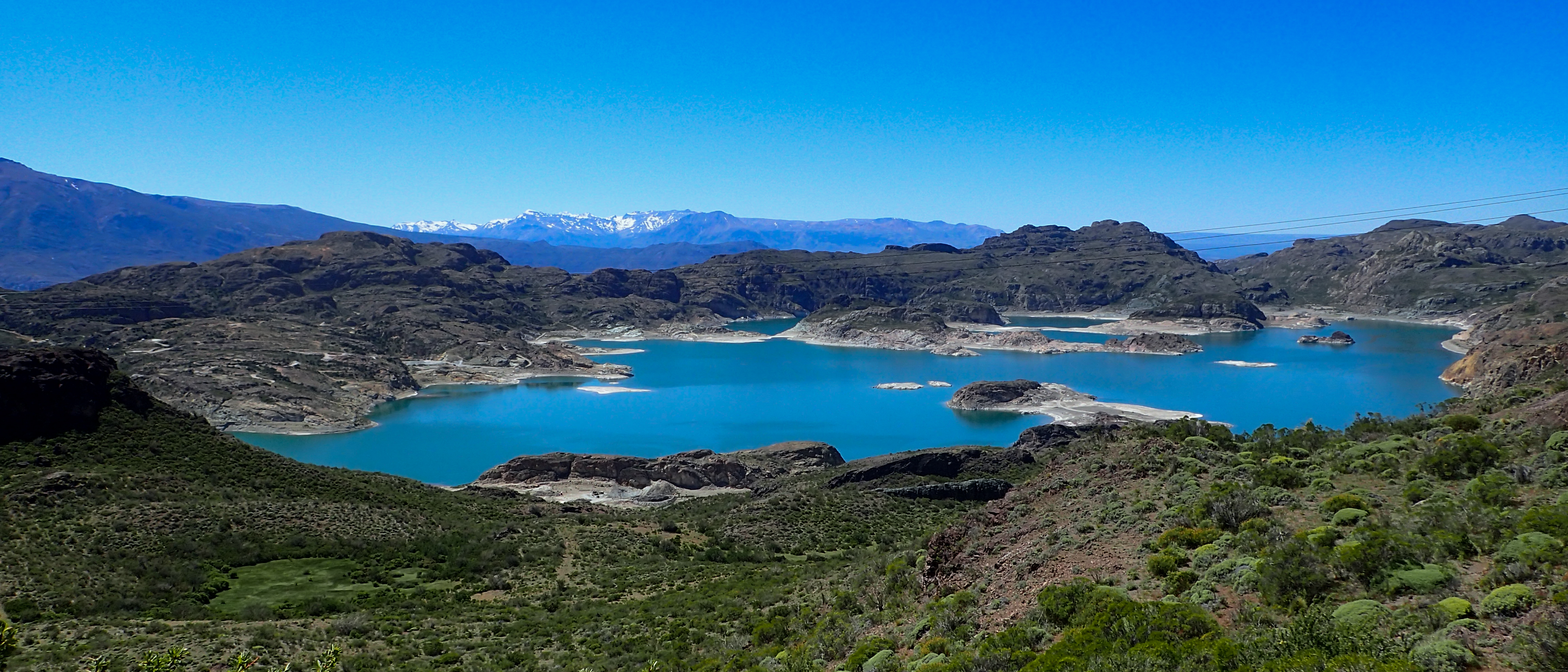
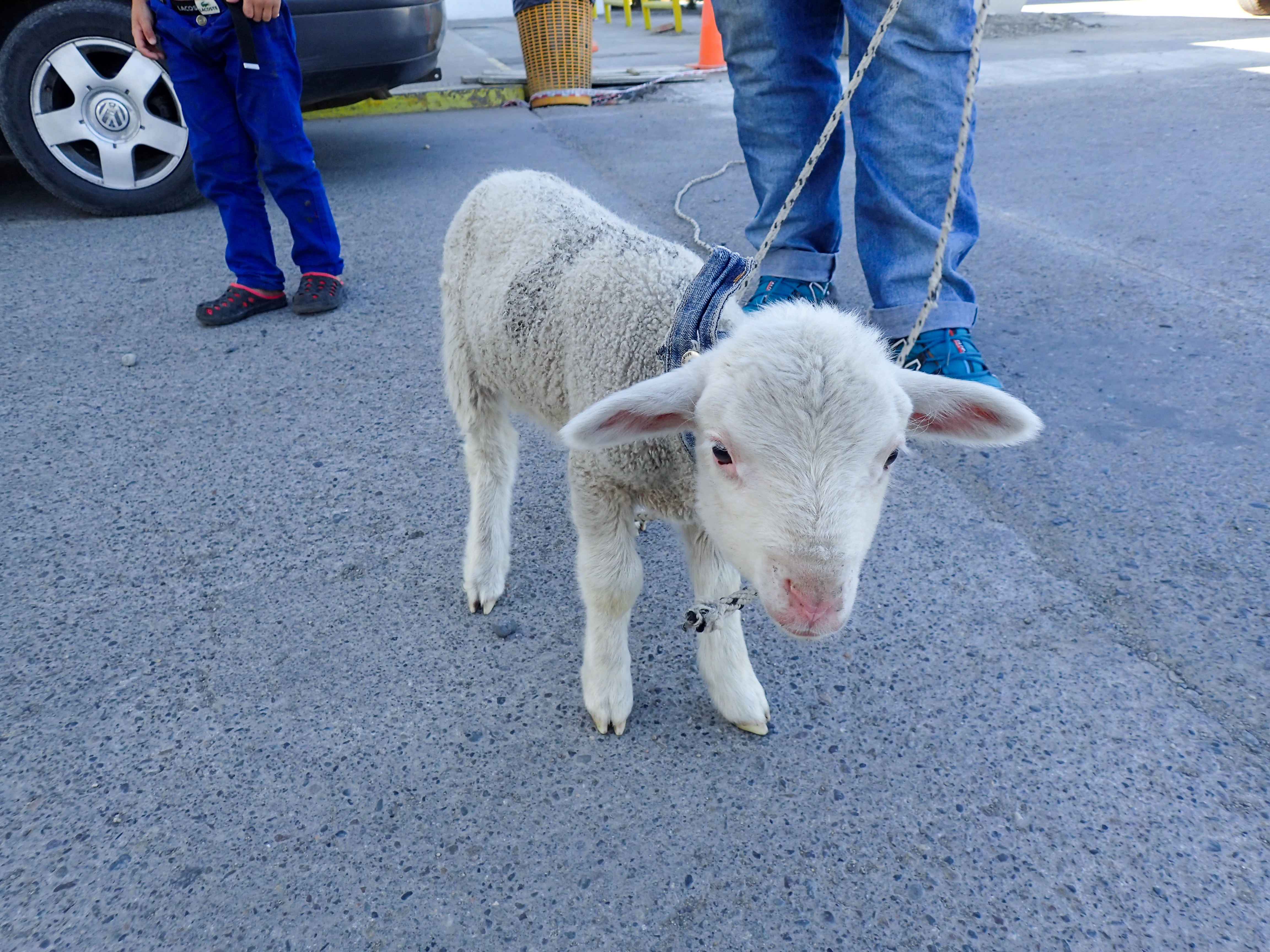
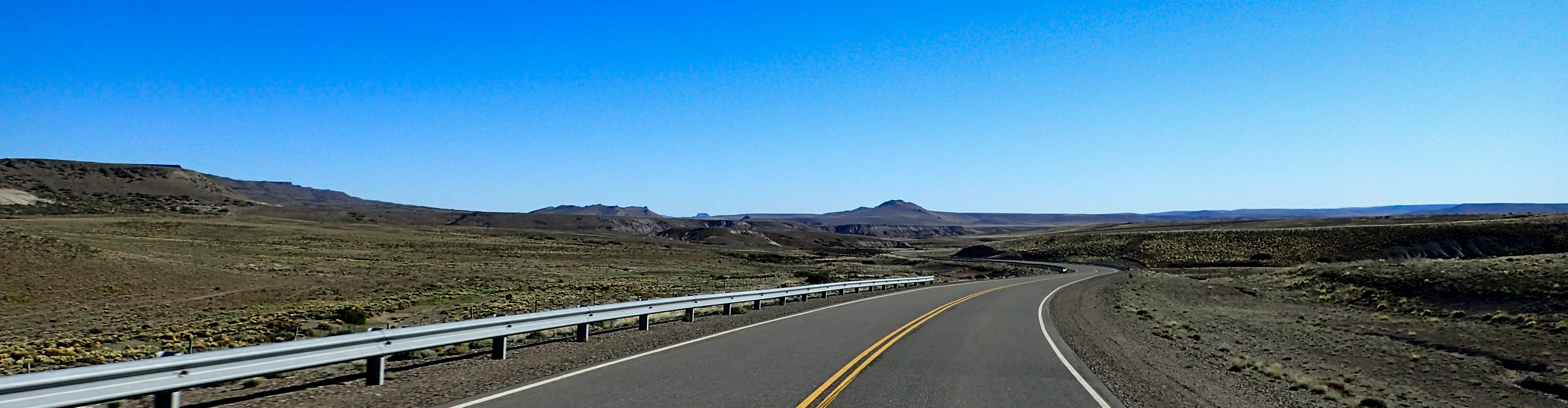
Long riding day for me today. Rode around the lake to Chile Chico and into Argentina. The weather was so spectacular and with little wind so I decided to enjoy the riding and put extra miles behind me. This final part of the Austral was by far the best. Beautiful lakes, rivers and windy cliff side roads. Actually got a fair amount of turns and interesting fun roads. Still a lot of deep gravel but for the most part pretty good dirt road. The Argentina side of things was well paved the whole way to Bajo. Today I met a number of people and saw over a dozen other bikers in both directions.
Obviously, it is inescapable that you will run into some activity troubles, so having a dependable key holder and organization of trusted and enlisted jacks of all trades in Murcia for heater, electrical or cooling fixes is significant so as to get any issues,https://yes-mallorca-property.com


Obviously, it is inescapable that you will run into some activity troubles, so having a dependable key holder and organization of trusted and enlisted jacks of all trades in Murcia for heater, electrical or cooling fixes is significant so as to get any issues,https://yes-mallorca-property.com
ReplyDelete