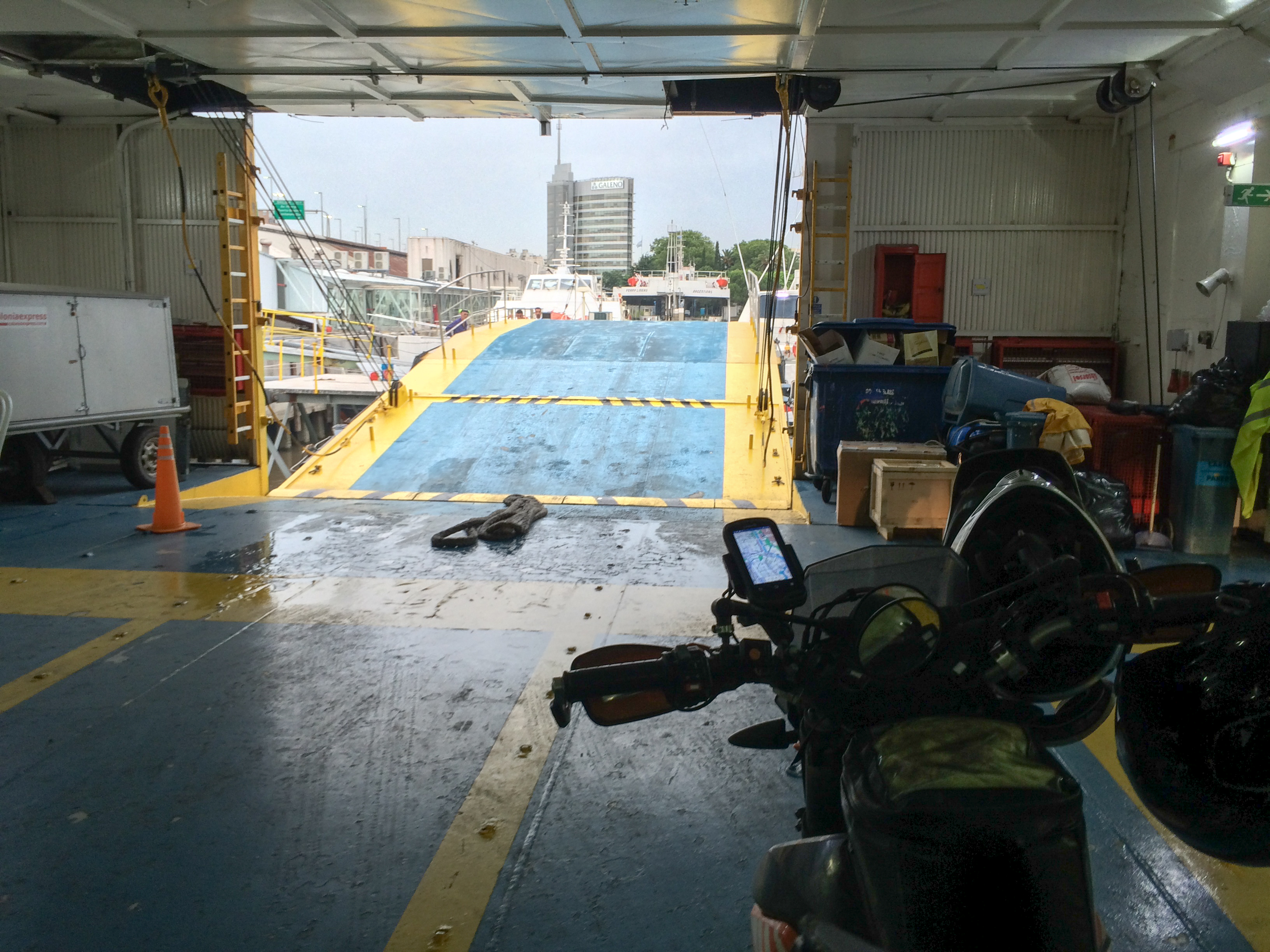
2016-01-04 Montevideo to Buenos Aires 690south on Monday, January 04, 2016 Add Comment Autoblog Edit Stats Distance: 236 km (146 miles) Max Elevation: 73 m (240 feet) Min Elevation: -40 m (-132 feet) Ascent: 73 m (241 feet) Descent: 115 m (378 feet) Description Decided to take the ferry from Colonia to Buenos Aires instead of the 500km ride around the river because the ride was boring and flat with nothing to see and I’d seen it already. Nothing really happened all day. Photos Map Download GPX Elevation Chart Newer - 2016-01-07 Buenos Aires to EZE Older - 2016-01-03 Montevideo Share on Facebook Share on Twitter Share on Google Plus RELATED POSTS


0 comments:
Post a Comment