Stats
- Distance: 282 km (175 miles)
- Max Elevation: 1443 m (4735 feet)
- Min Elevation: 23 m (76 feet)
- Ascent: 3128 m (10264 feet)
- Descent: 3873 m (12710 feet)
Description
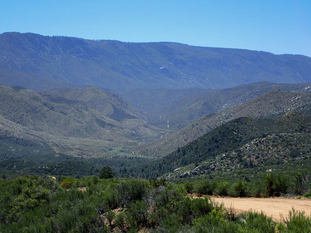
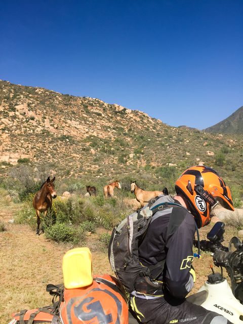
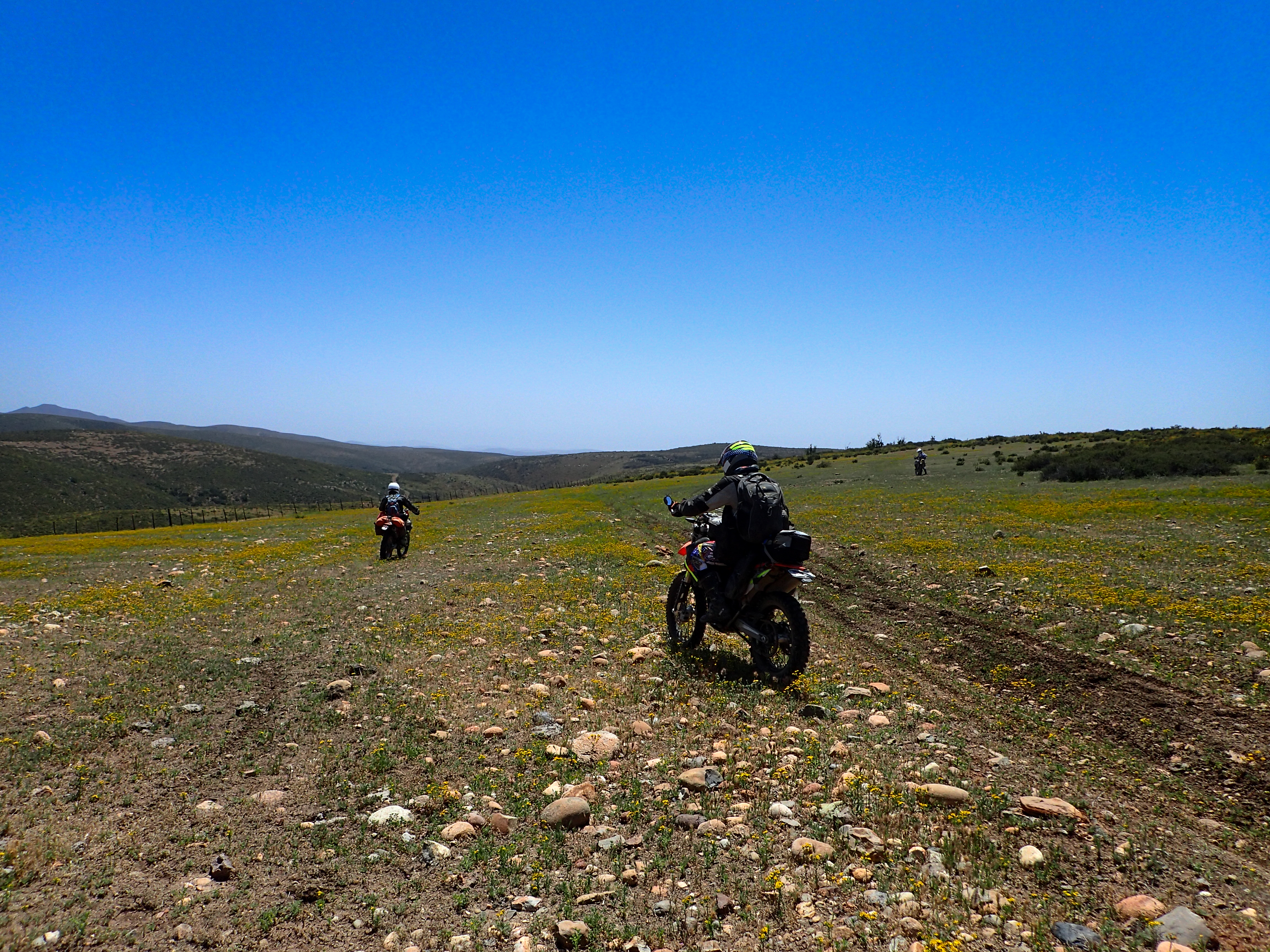
A little detour in the morning trying to find our way through to Mikes but ended up in the middle of some pretty commercial looking farms with no way through. Went back out to the road and the normal way to Mikes. Blasted past Mikes and then south towards Vincente Guerrero and ultimately blasted out some highway to stay at a hotel in El Rosario. Only day two into the trip and we’ve pushed out some long days.Photos
-
-

-

-

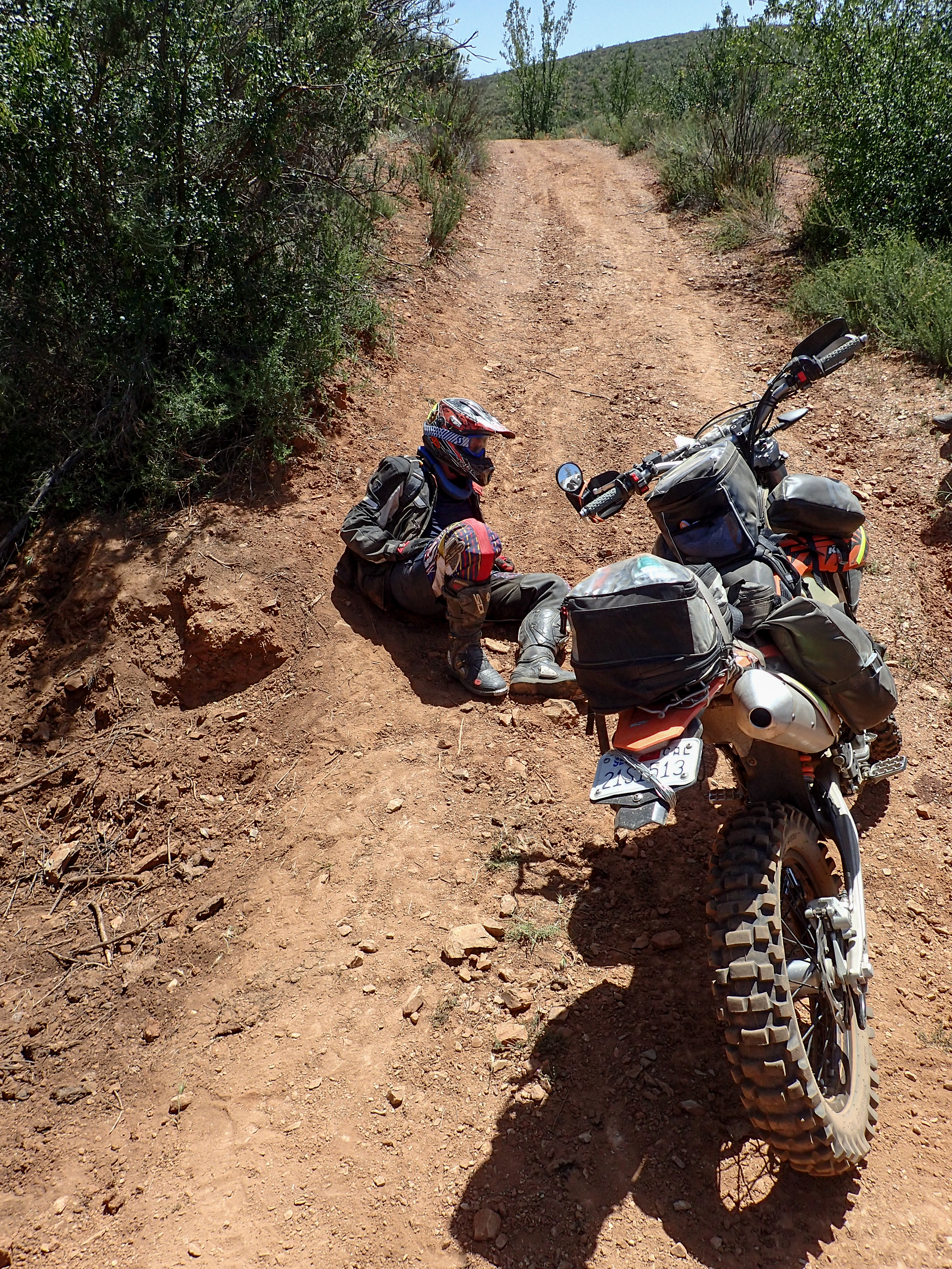
Shane took a little tumble.
-
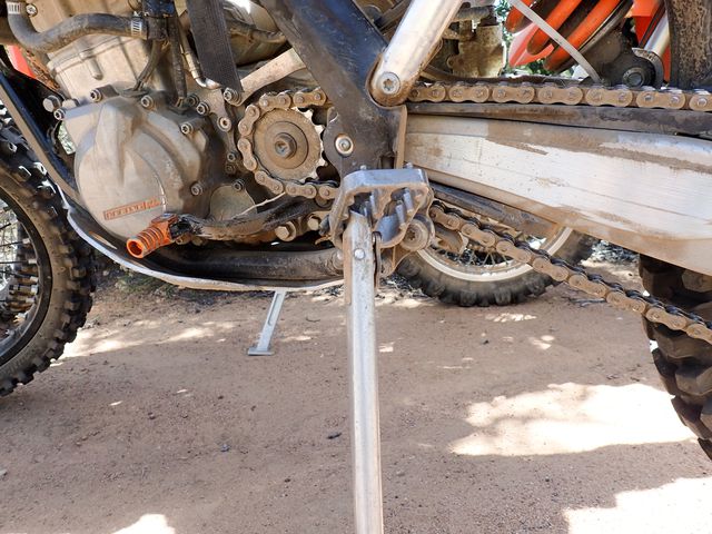
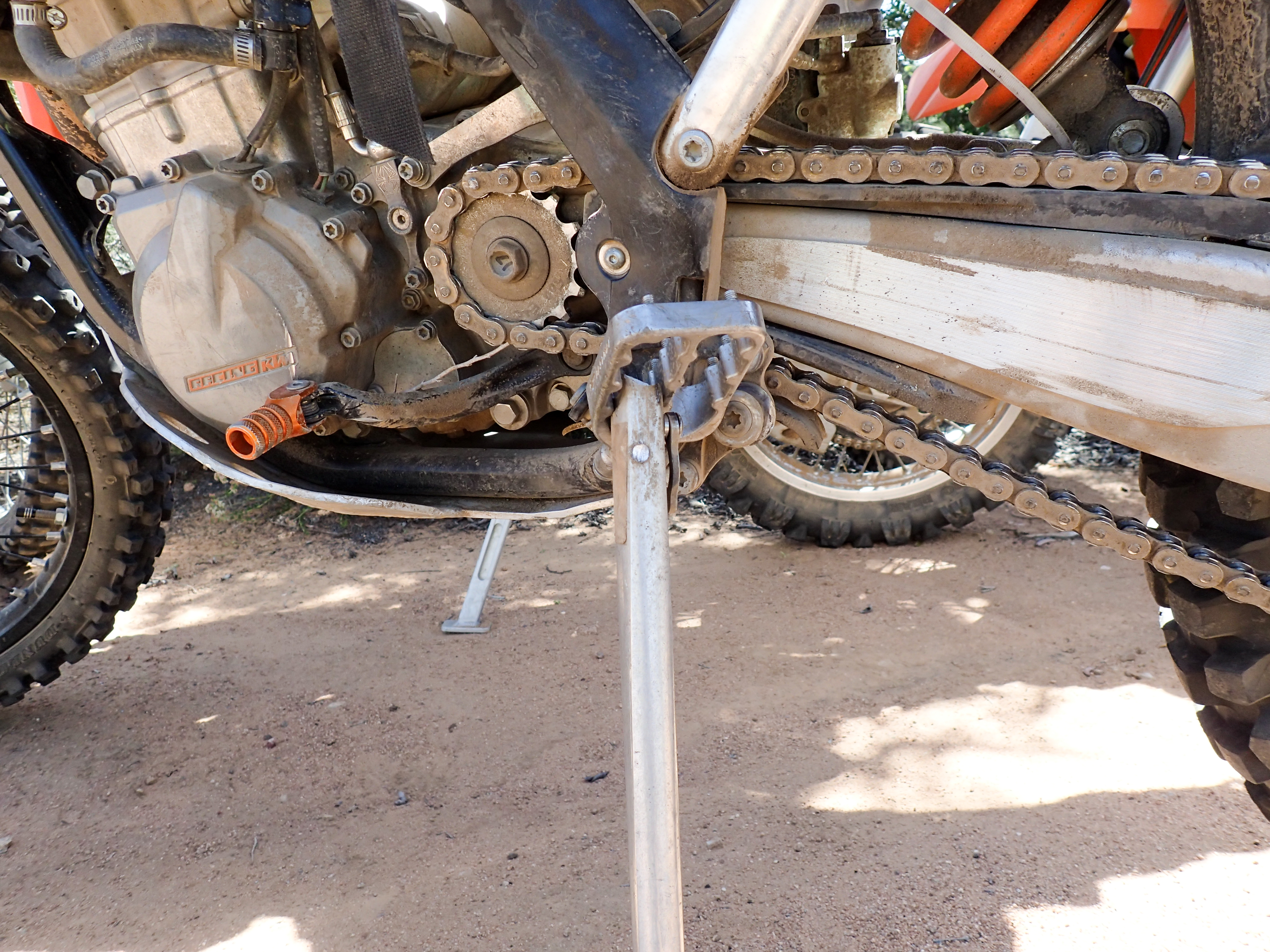
Shane's tumble took its toll on his kickstand.
-
-
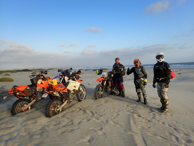
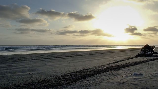
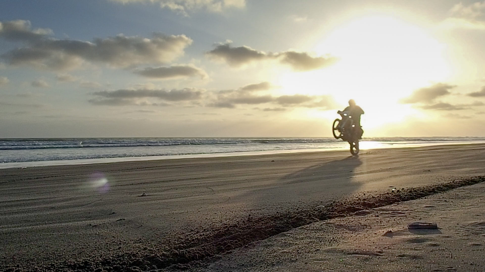
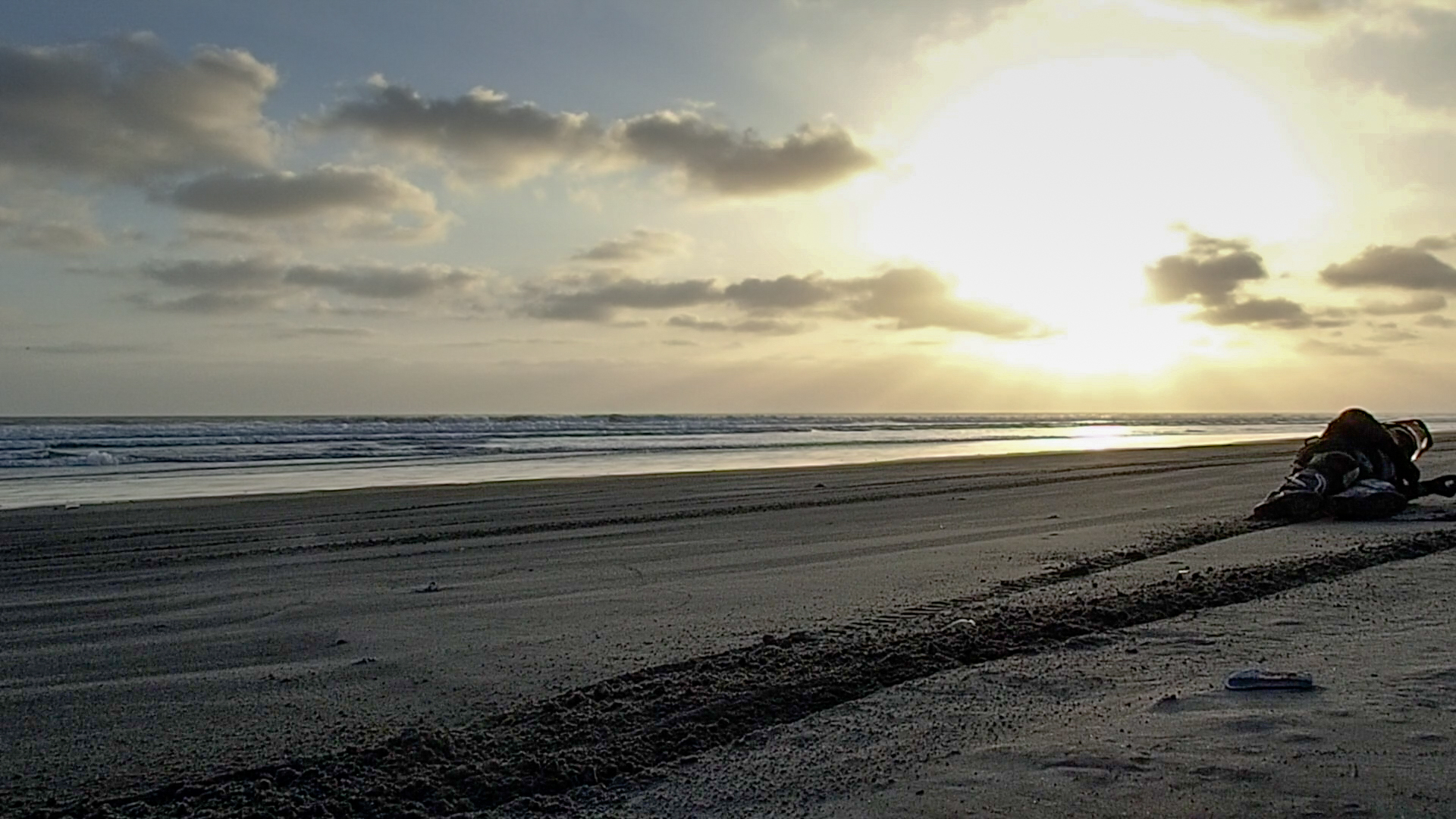
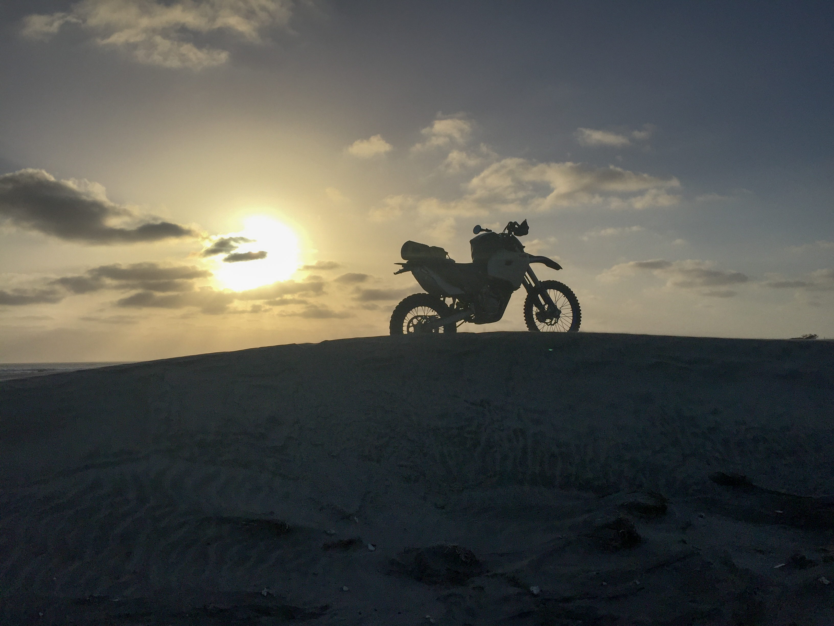
We found a little beach to fool around on.
-

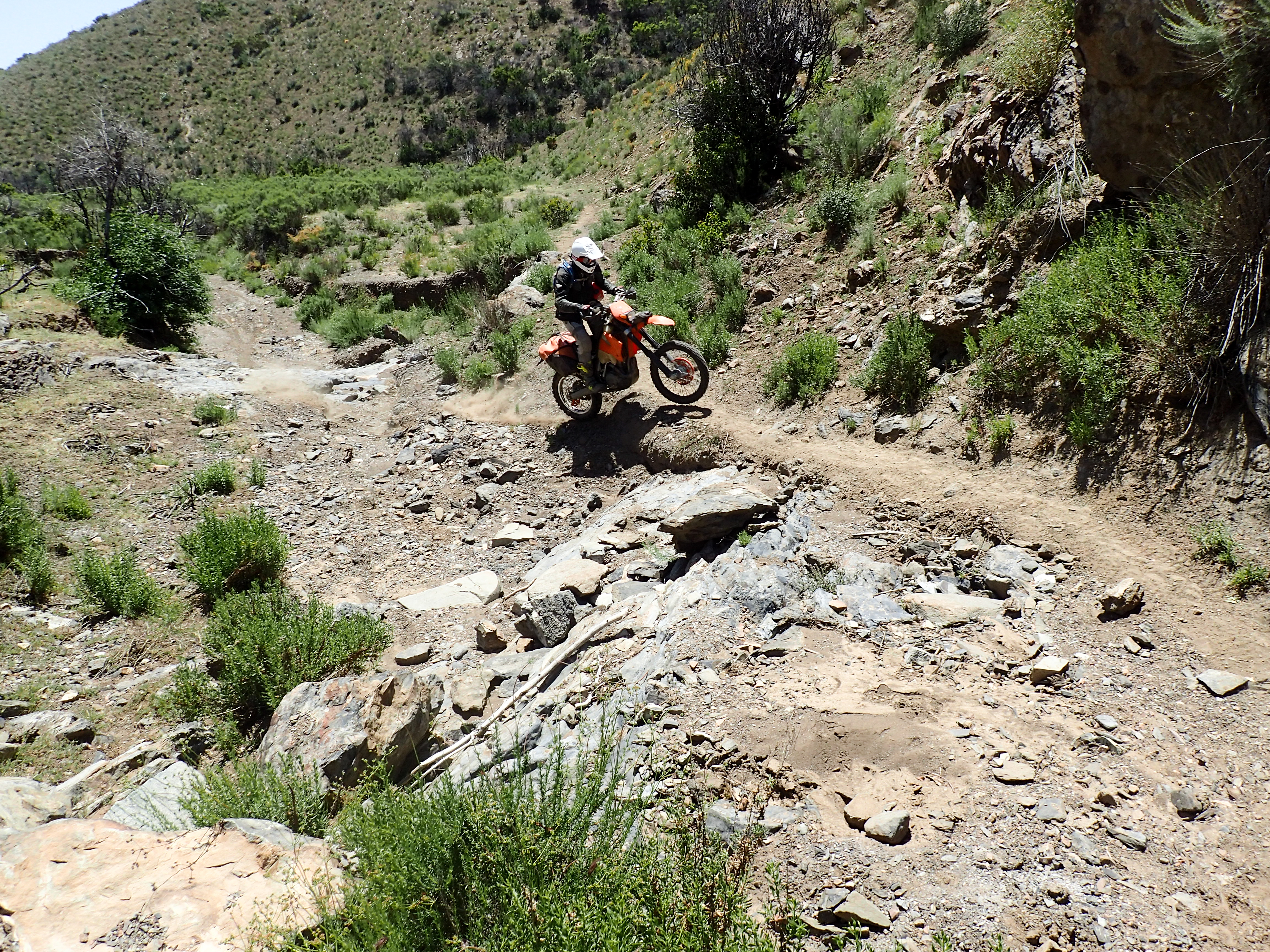
Wheelie time!
-

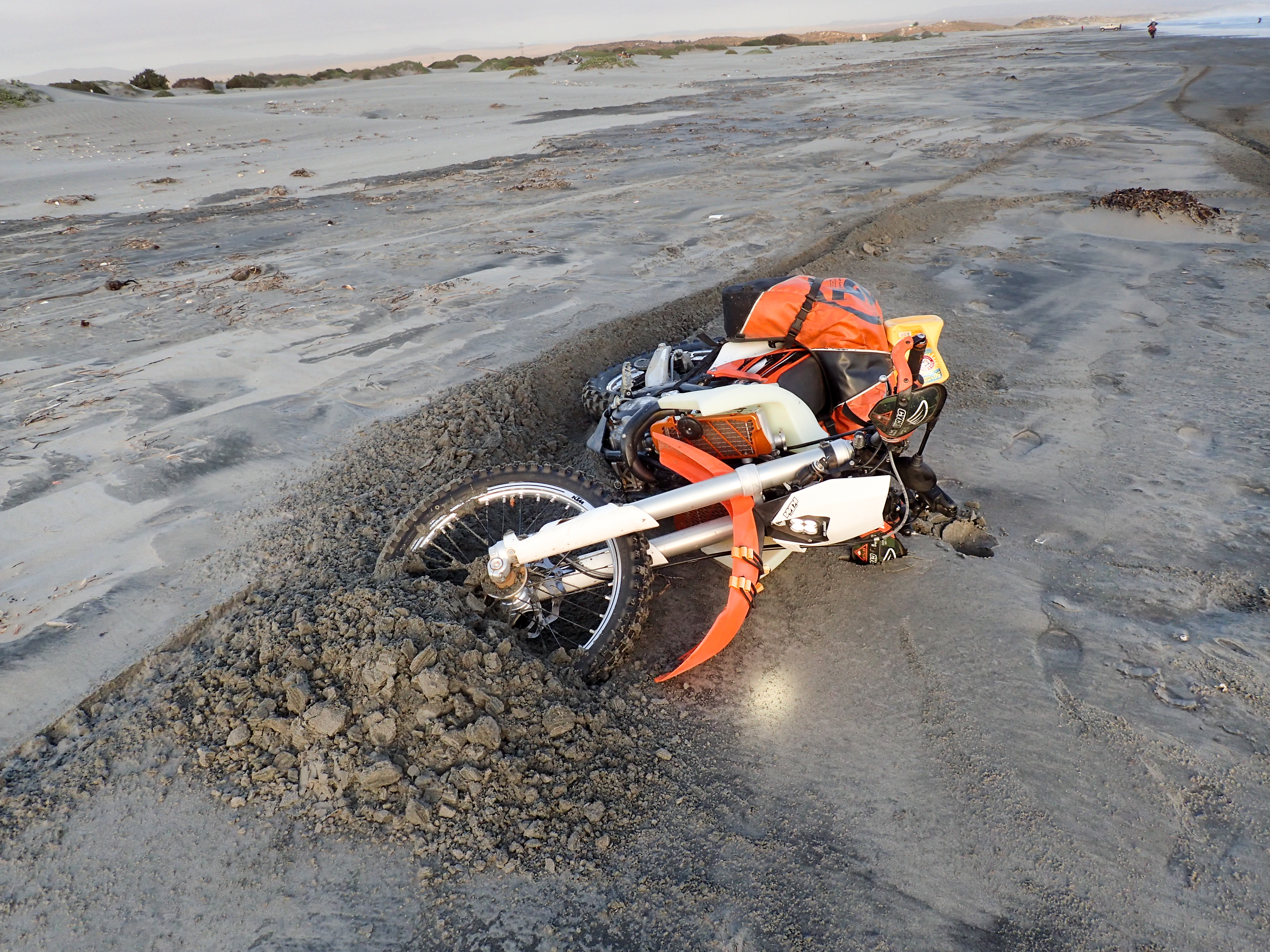
Whoops.
-
Ouch.
-

-

-
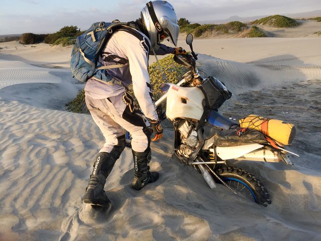
"It's stuck!"
-
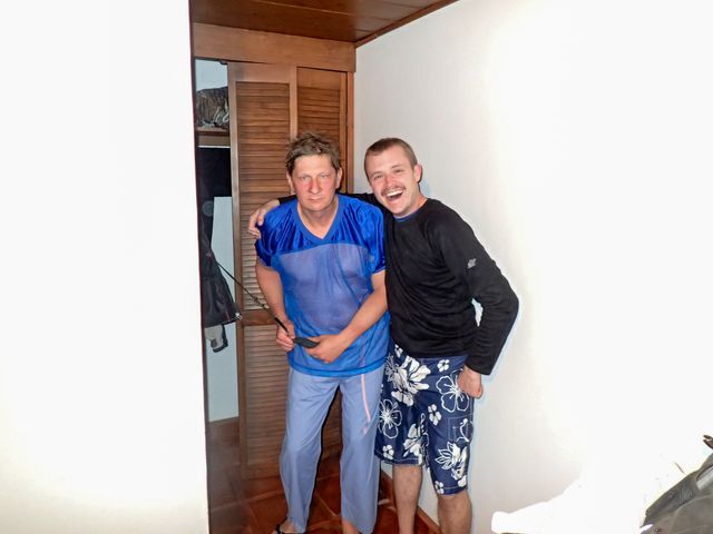
Not sure what is up with this shirt but it was hilarious.


0 comments:
Post a Comment