Stats
- Distance: 258 km (160 miles)
- Max Elevation: 877 m (2879 feet)
- Min Elevation: 45 m (150 feet)
- Ascent: 2610 m (8564 feet)
- Descent: 2067 m (6784 feet)
Description
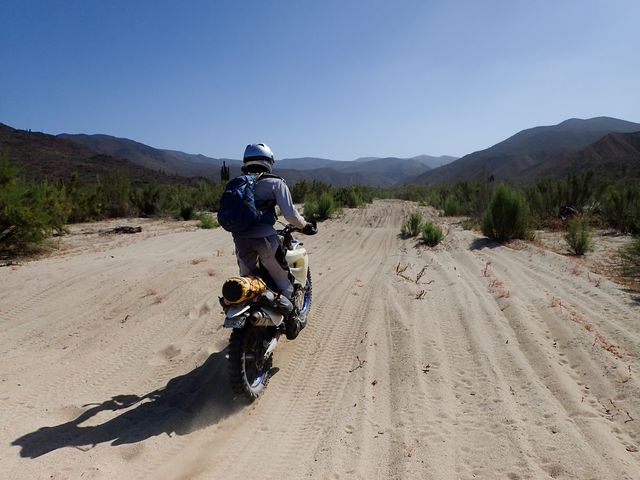
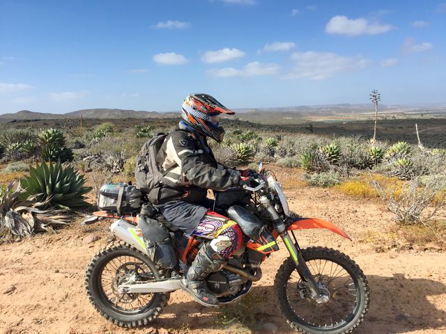
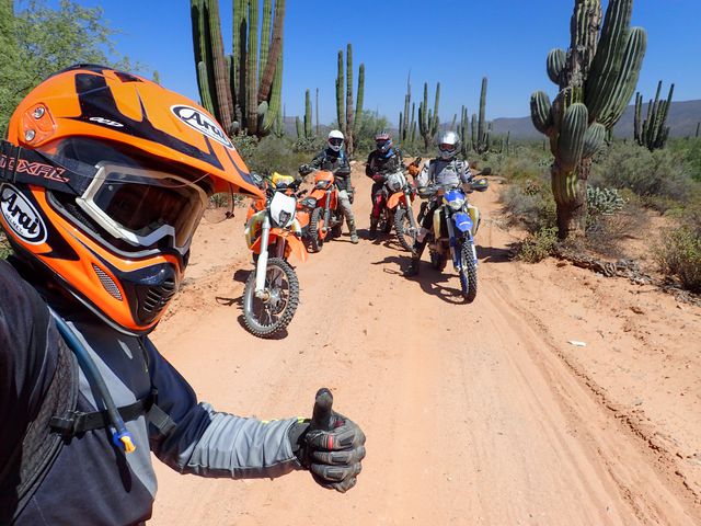
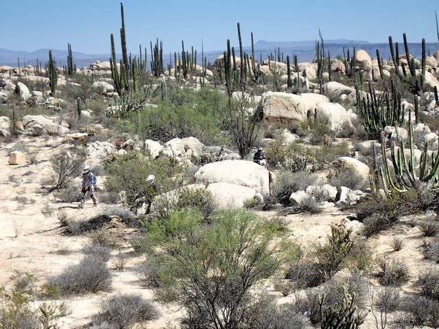
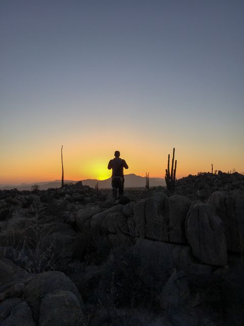
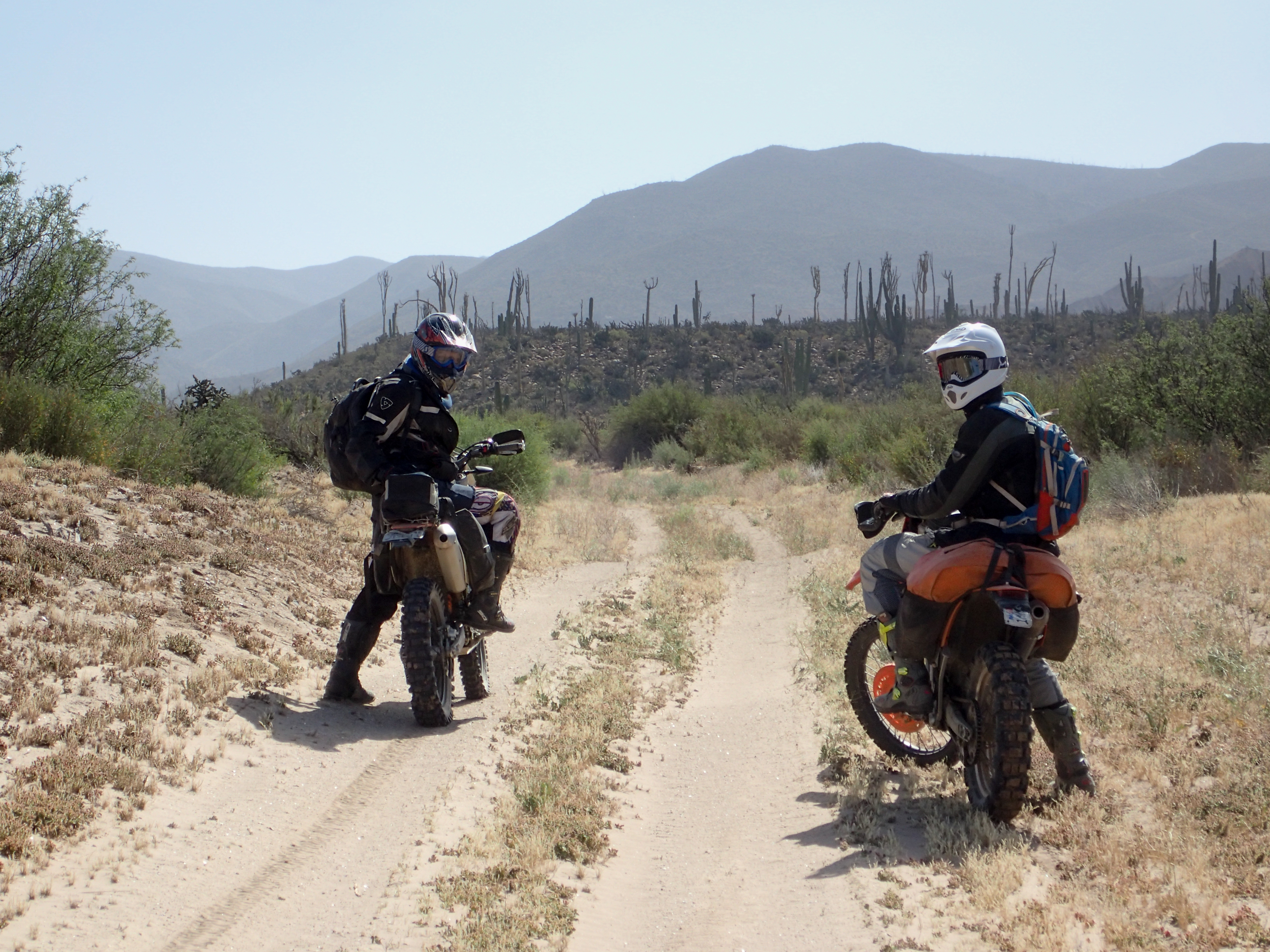
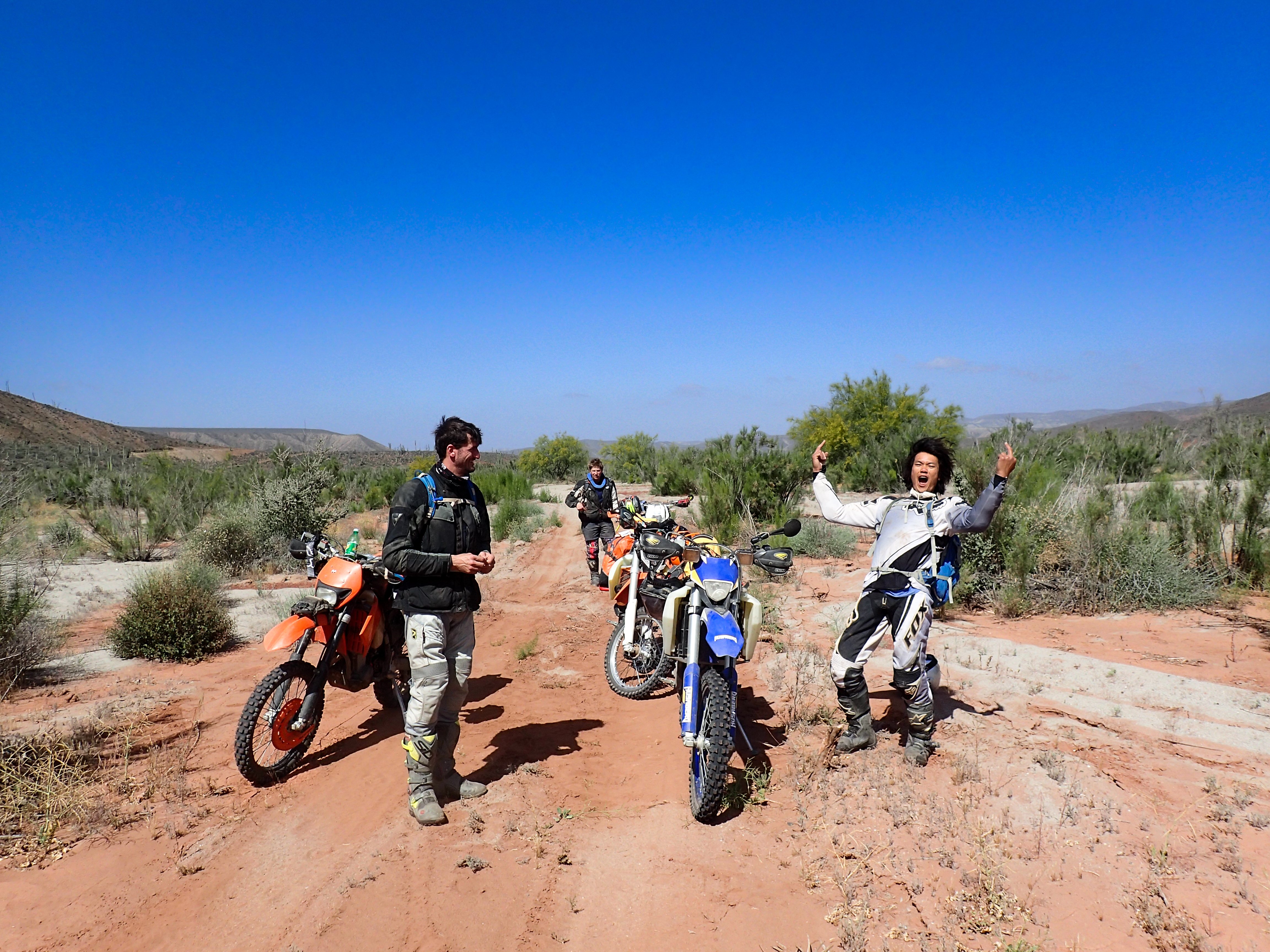
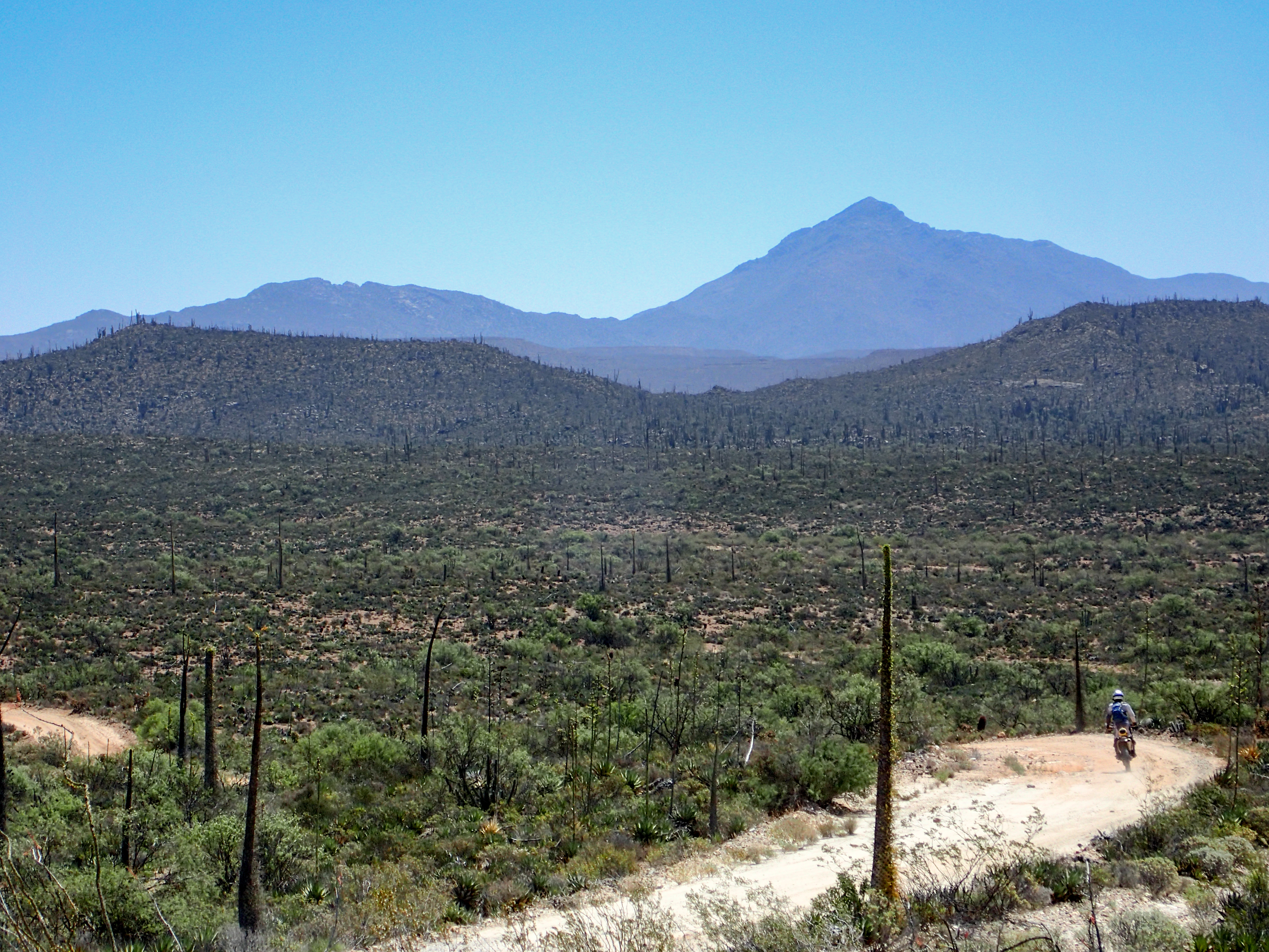
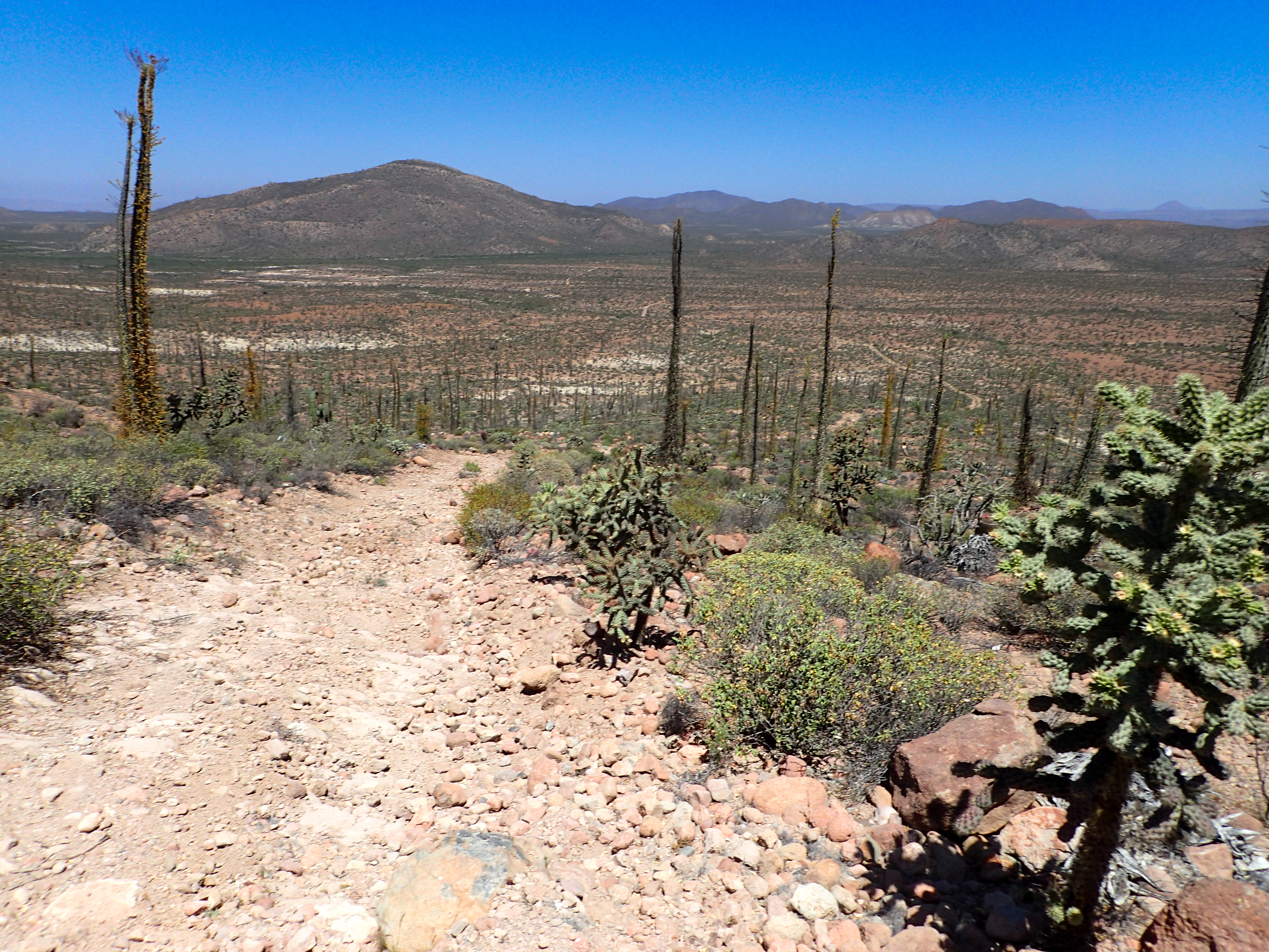
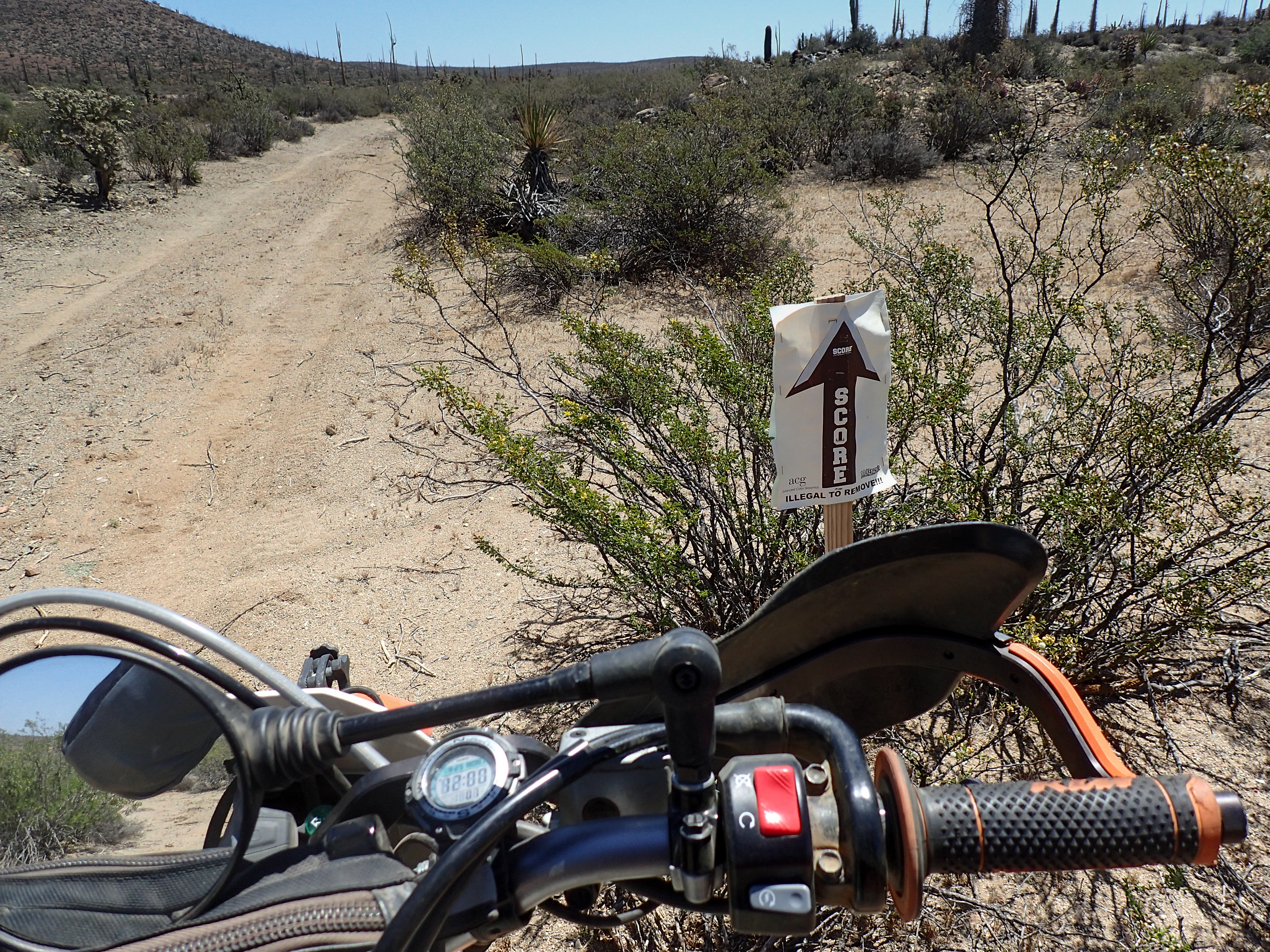
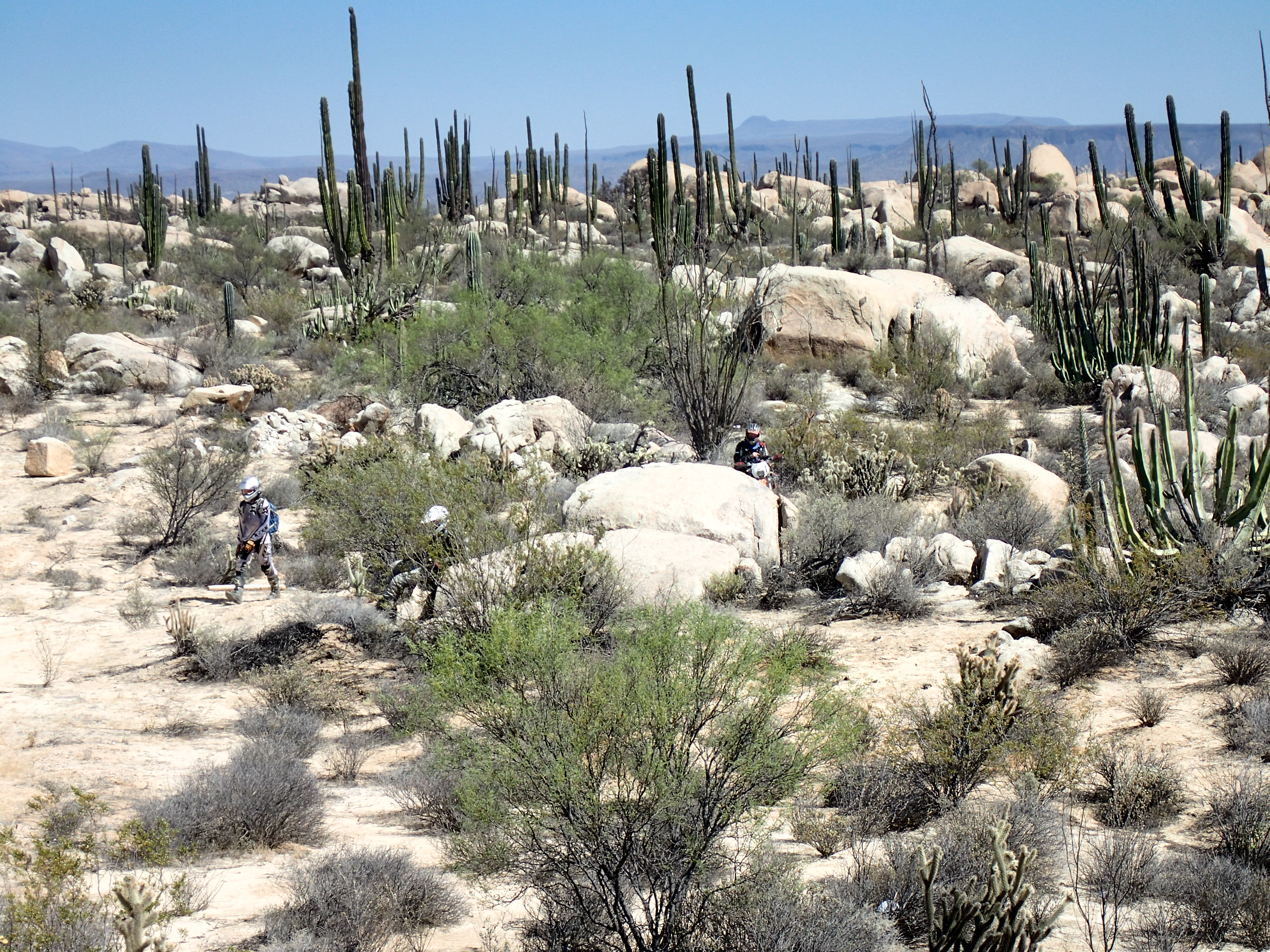
Day started out on some pretty remote, less traveled two track. We were fresh tracks on a lot of it. Parts got very difficult to tell where the road even went and one section we were forced to bushwhack through the desert for a couple kilometers to pick back up a different road as ours seemed to end. We stopped for a late lunch in Catavina and then decided to head down the single track “Window Rock” trail and find a place to camp and finish it up the next day.(I was asked not to share the single track gps tracks do to them getting overrun.)
Photos
-
-
-

-
-

-

-
-
-

-
-

-
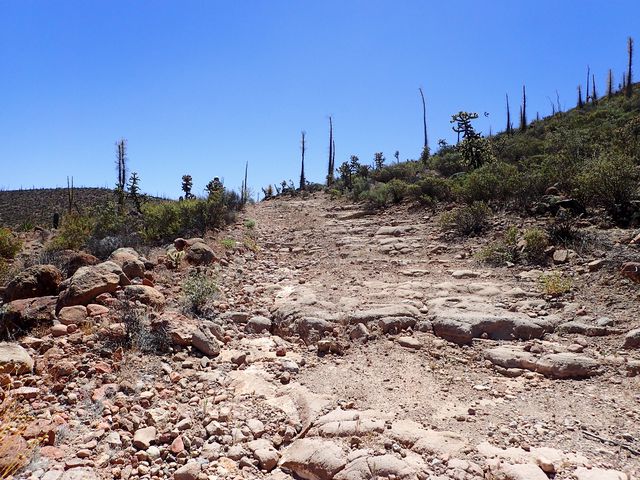
Some nice, rocky, loose hill climbs.
-
-

-

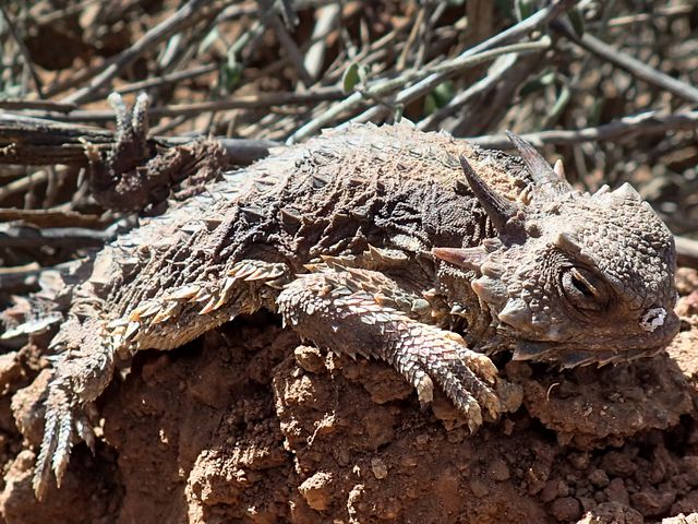
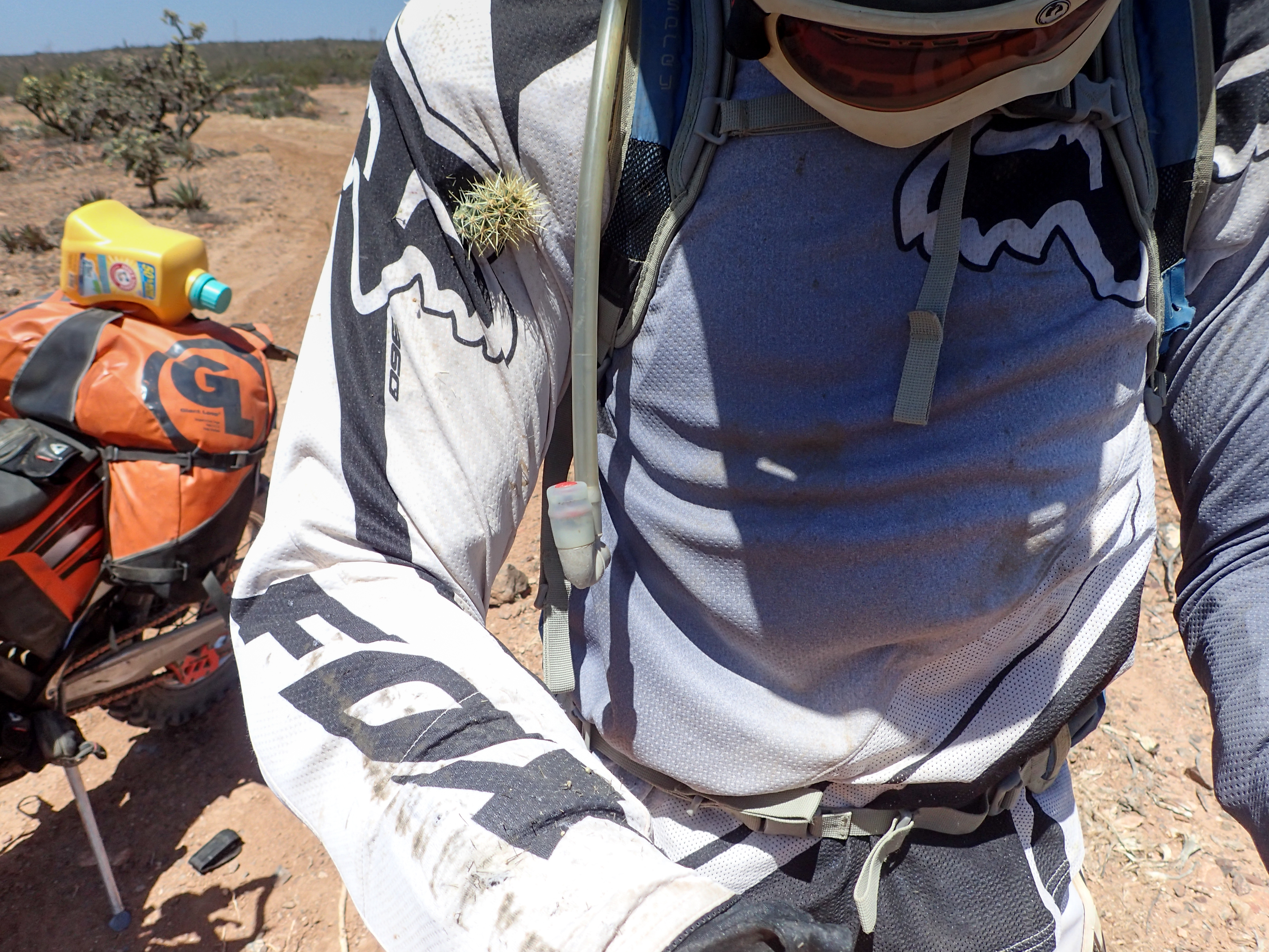
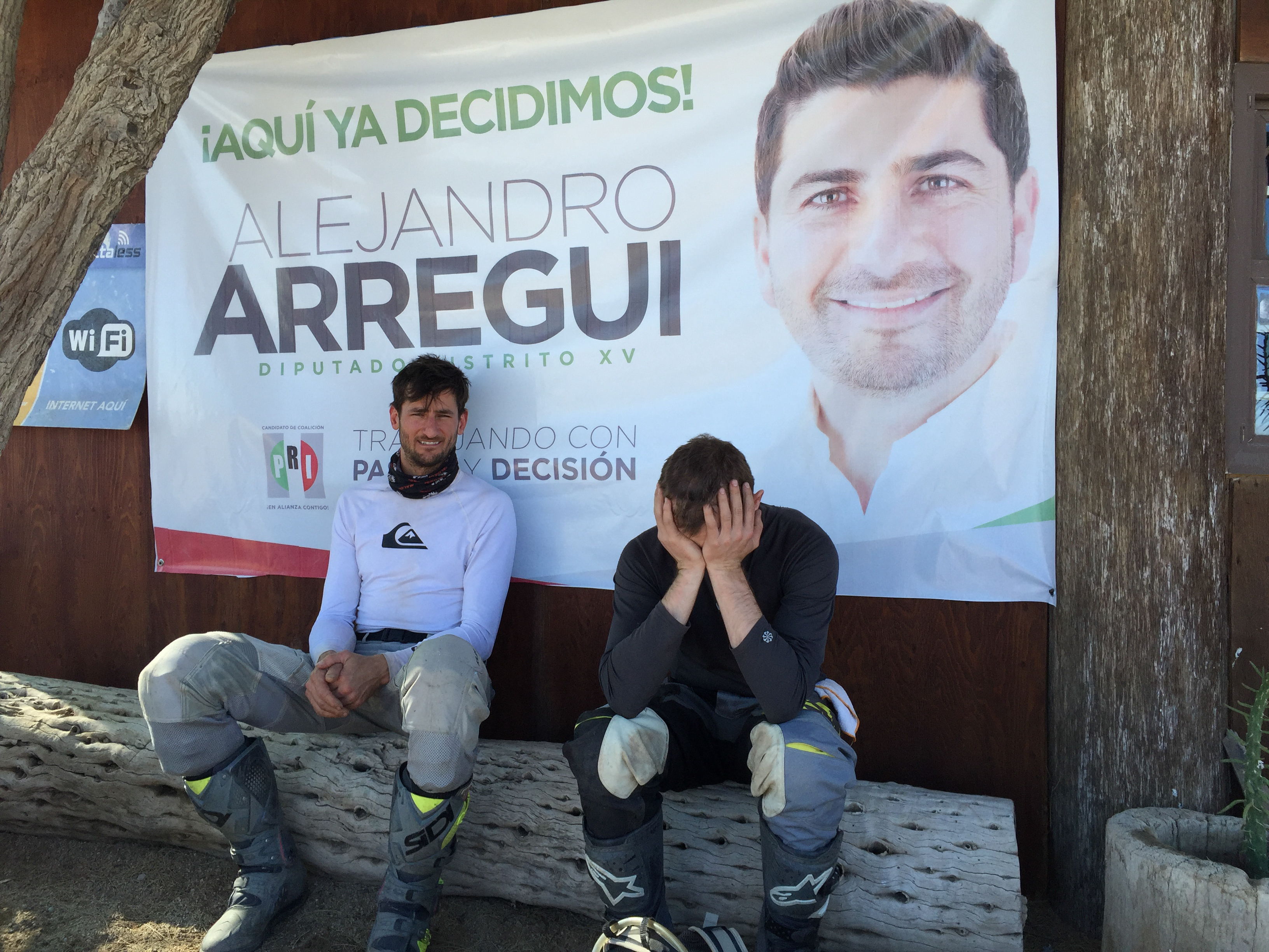
Jonny hit a cactus which sent him off crashing into the desert.
-

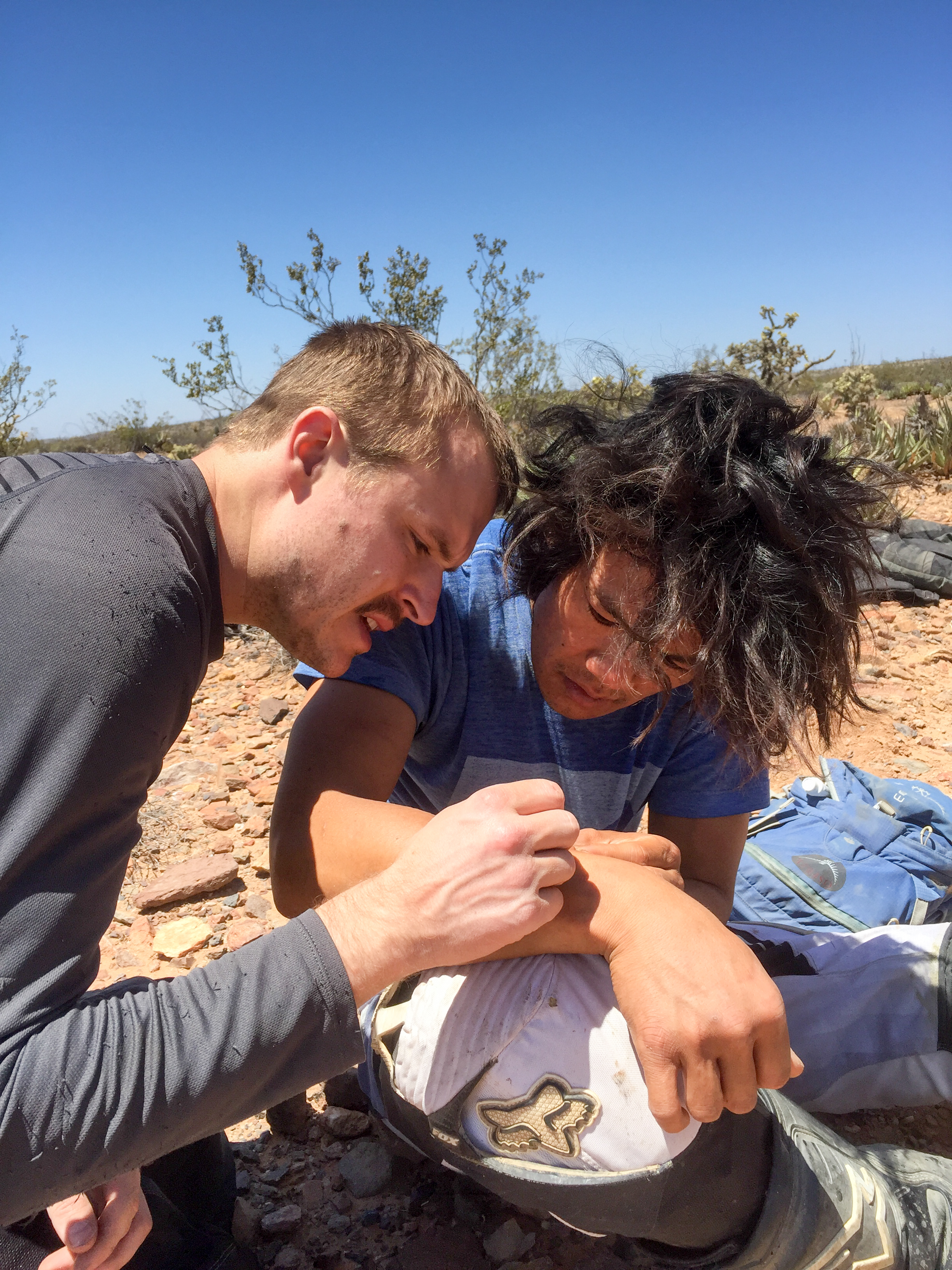
Picking spines out with a needle.
-
-
-
-
-

-

-

-

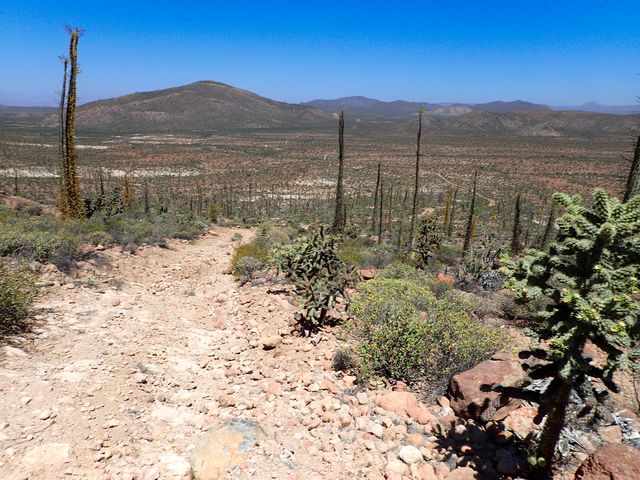
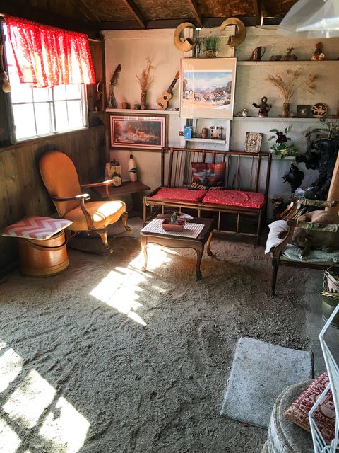
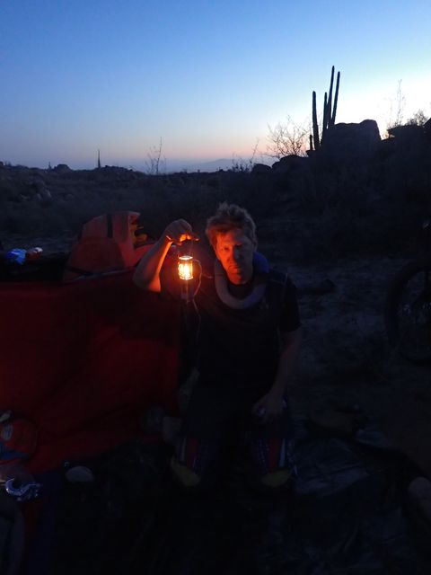
Camp spot off the window rock trail.
-
-

-
-


0 comments:
Post a Comment