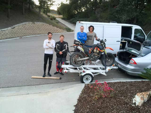
We had the choice of backtracking the off-road route we took to get the El Rosario or highway as we did not have enough time to go back a different off-road route. Jonny’s non-o-ring-twice-to-baja chain had nothing left to give so we decided to just limp it back the next day. We had a nice lunch in Ensenada and we made it back to the truck mostly unscathed, down two kickstands and a chain and happy to be back in the US with a great Baja trip in the memory banks.


0 comments:
Post a Comment