
Stats
- Distance: 203 km (126 miles)
- Max Elevation: 739 m (2425 feet)
- Min Elevation: 10 m (35 feet)
- Ascent: 2538 m (8328 feet)
- Descent: 2573 m (8443 feet)
Description
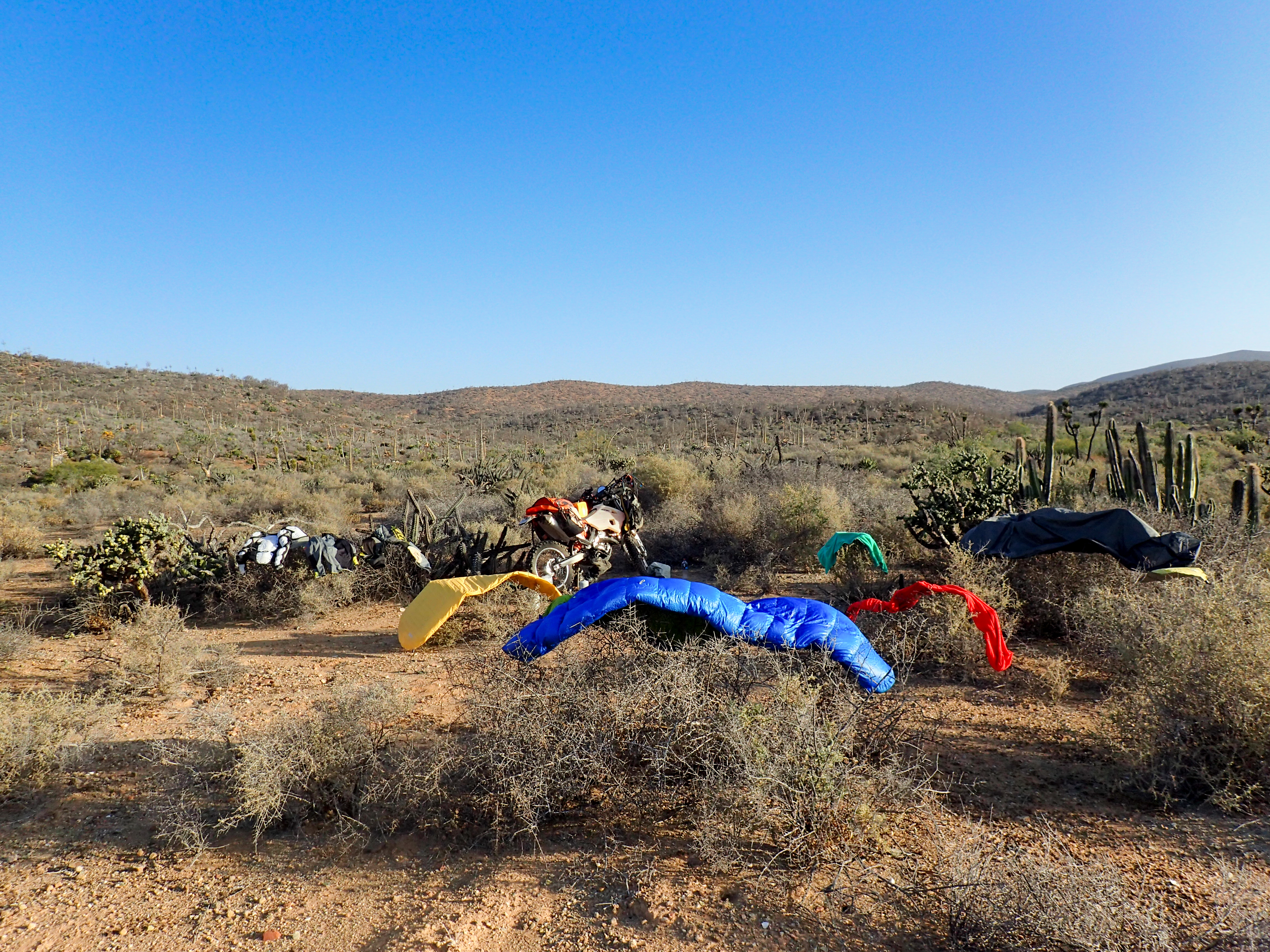
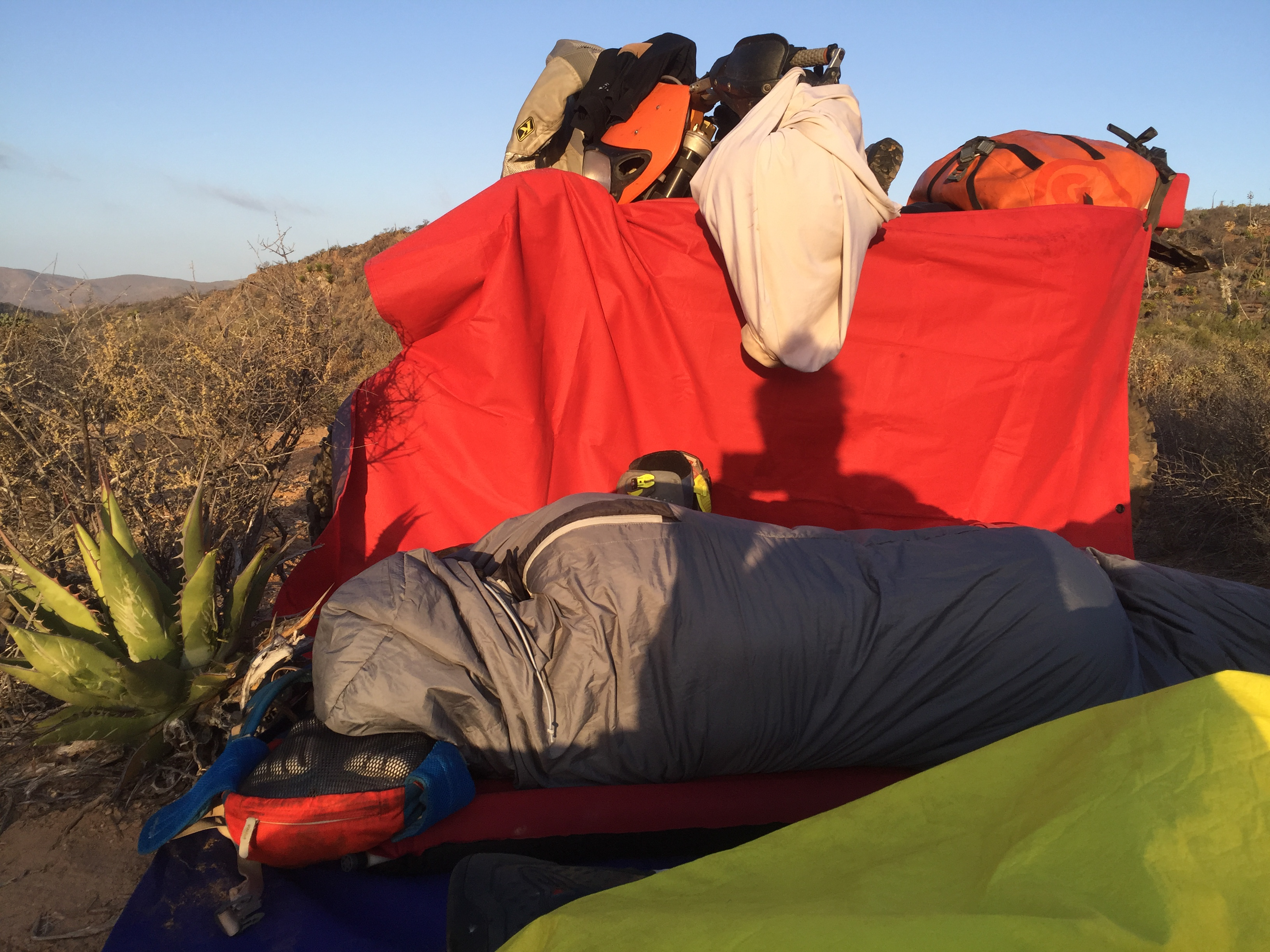
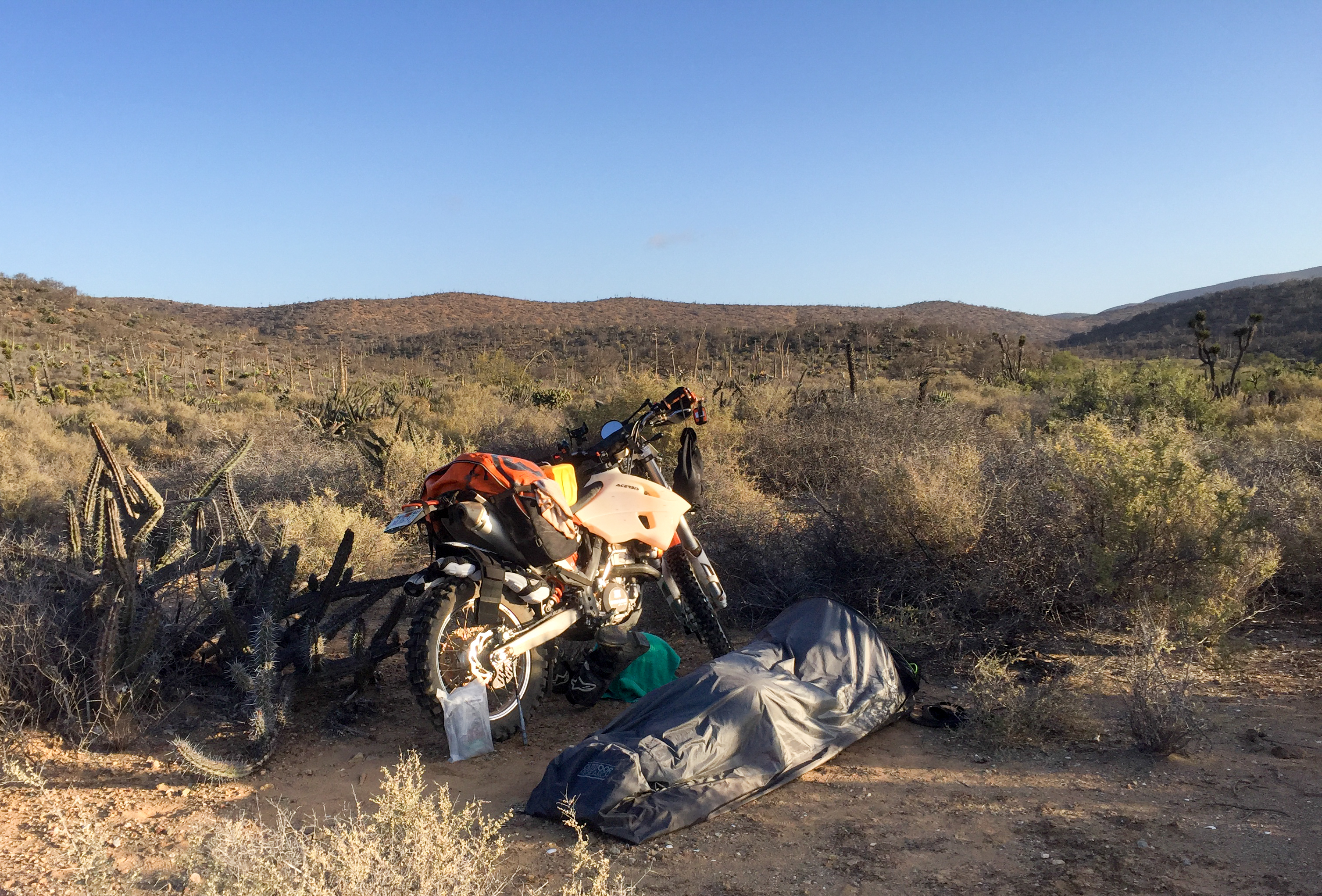
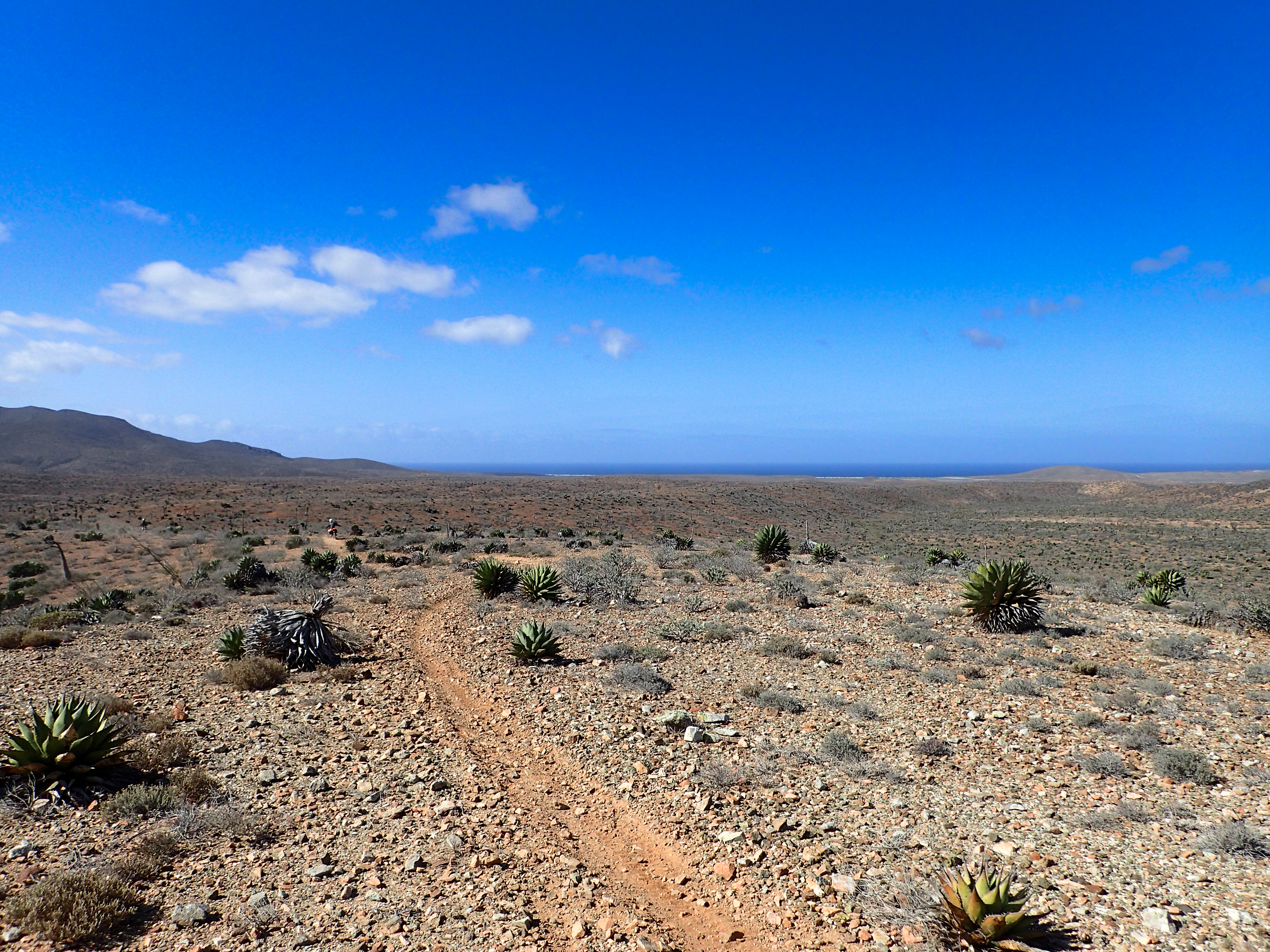
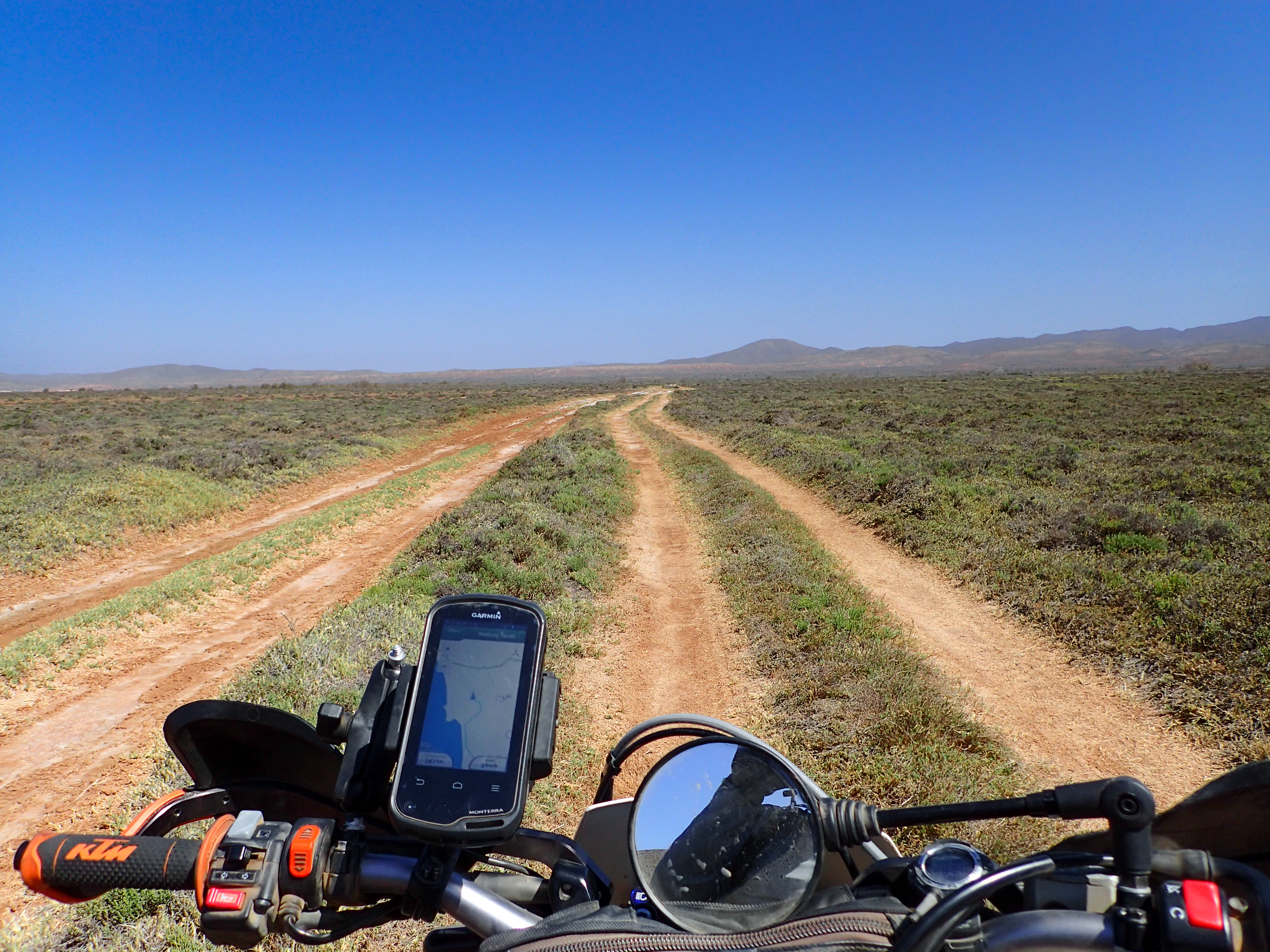
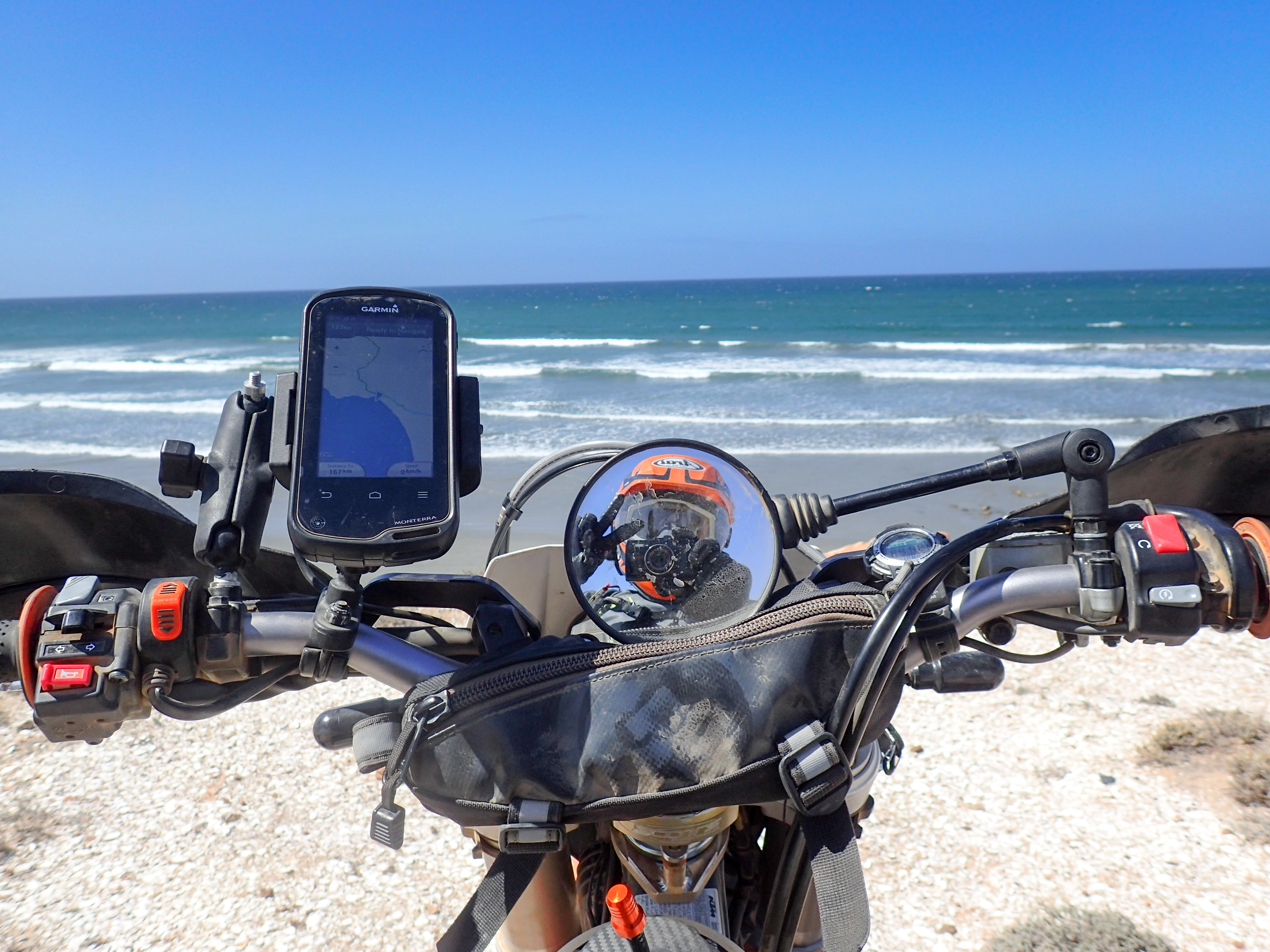
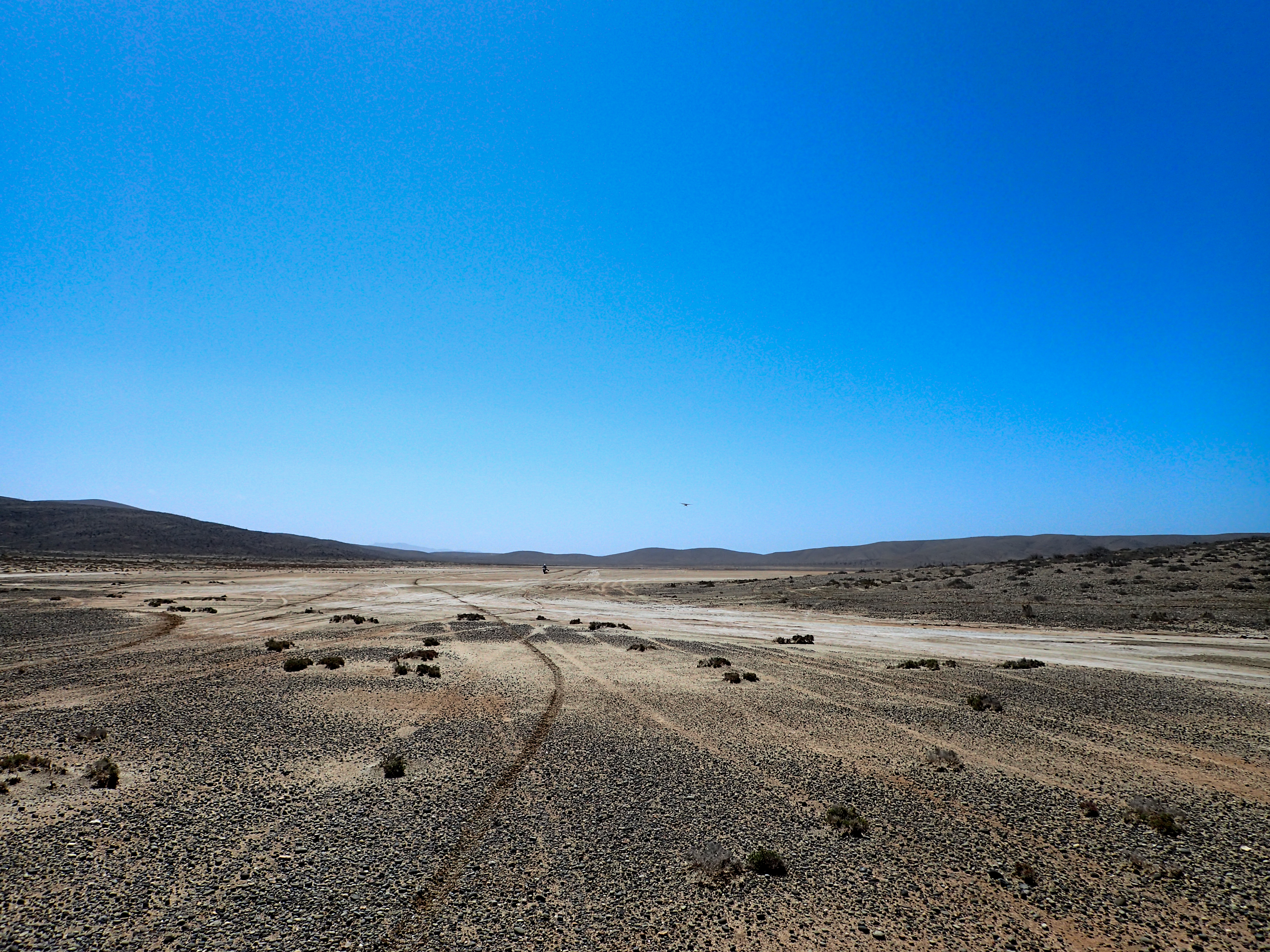
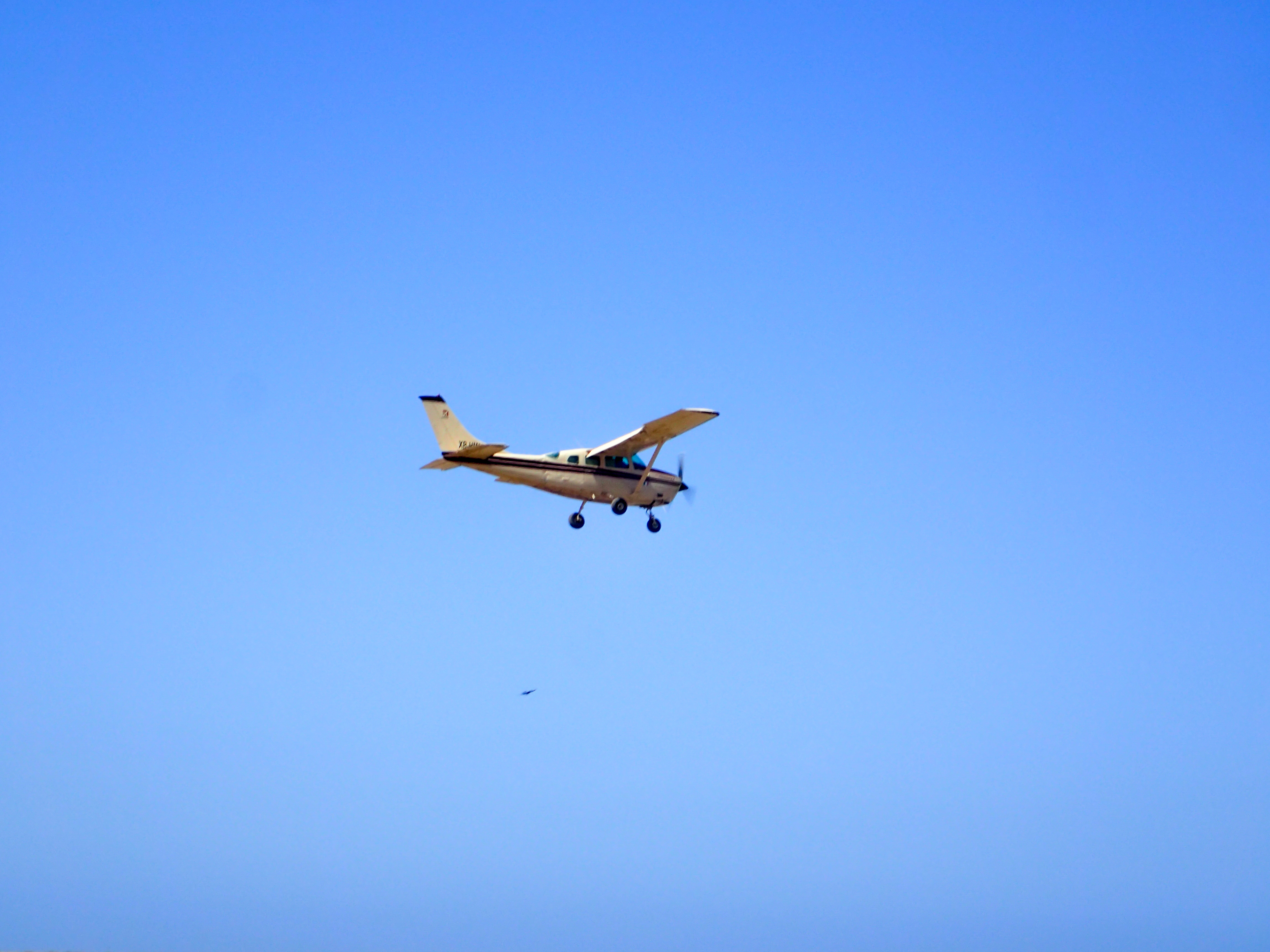
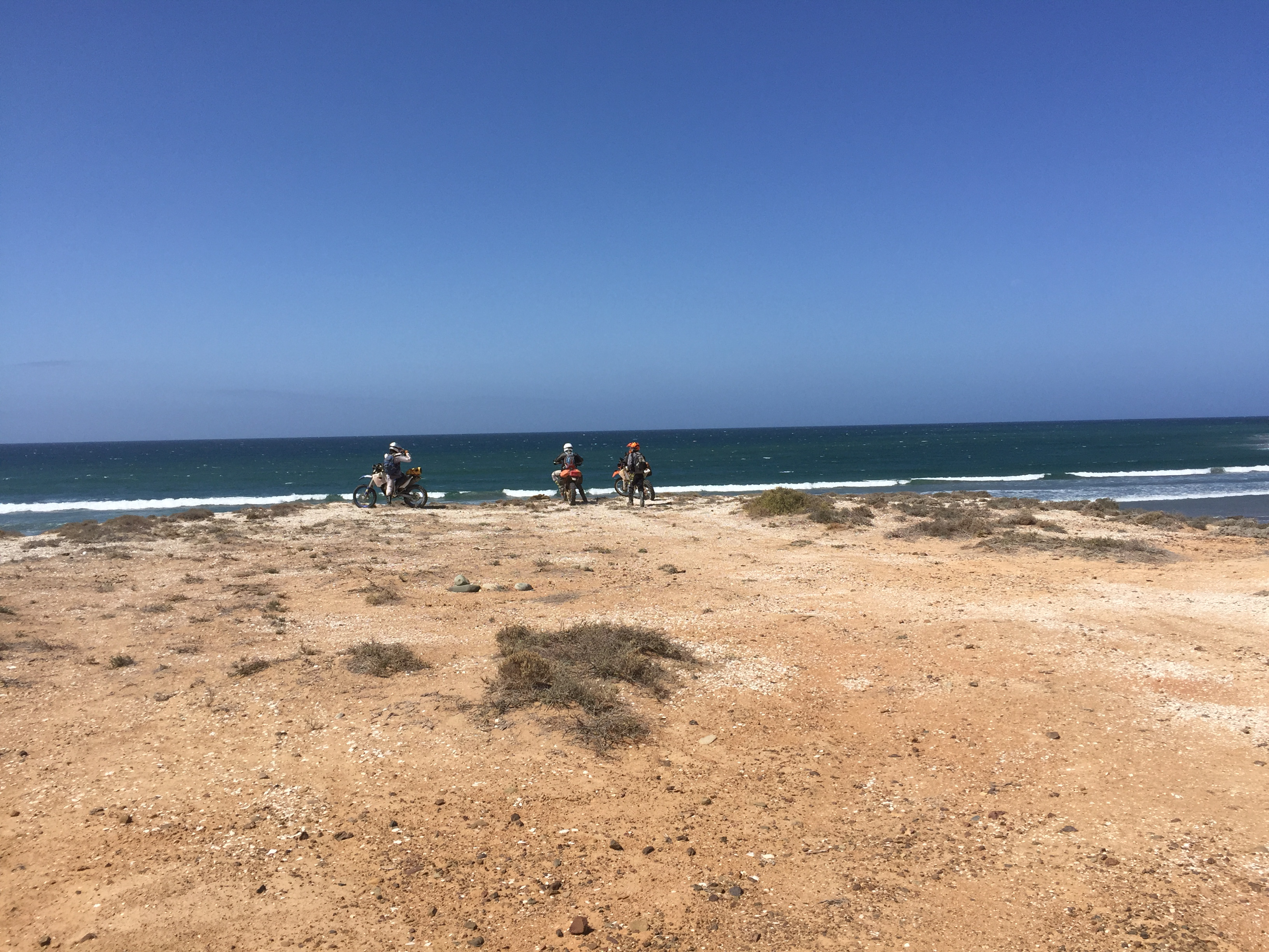
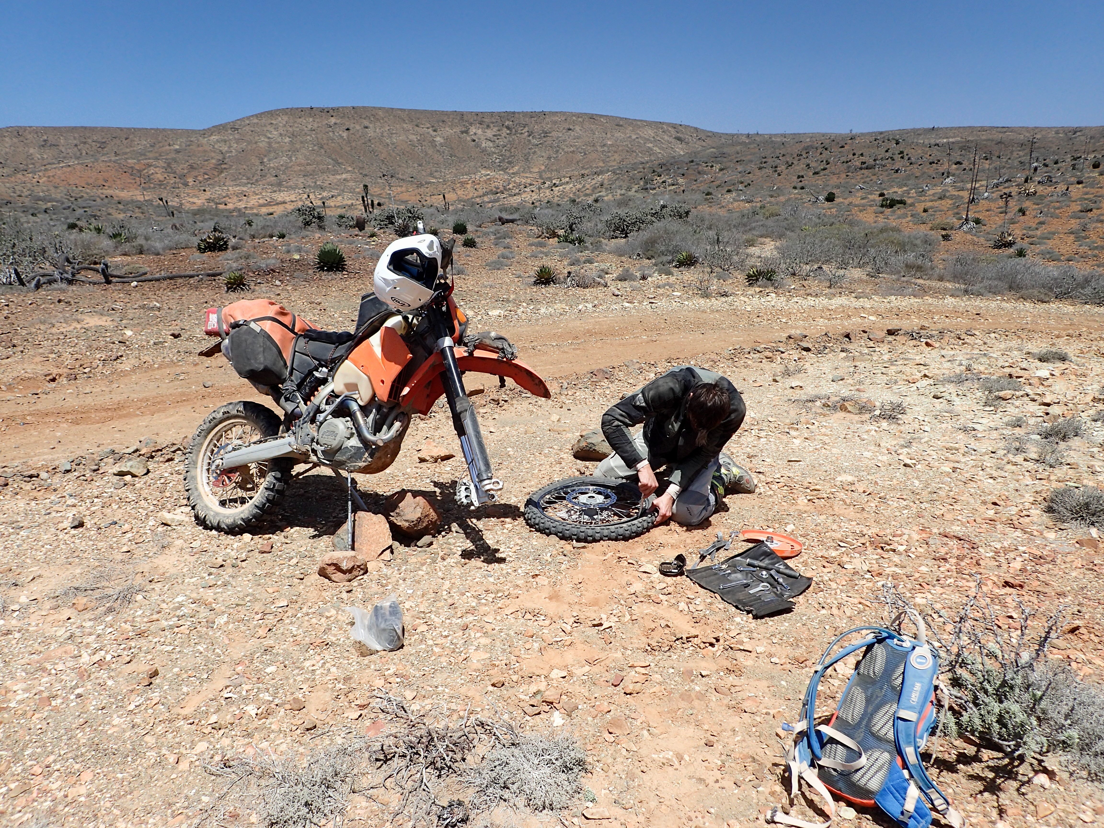
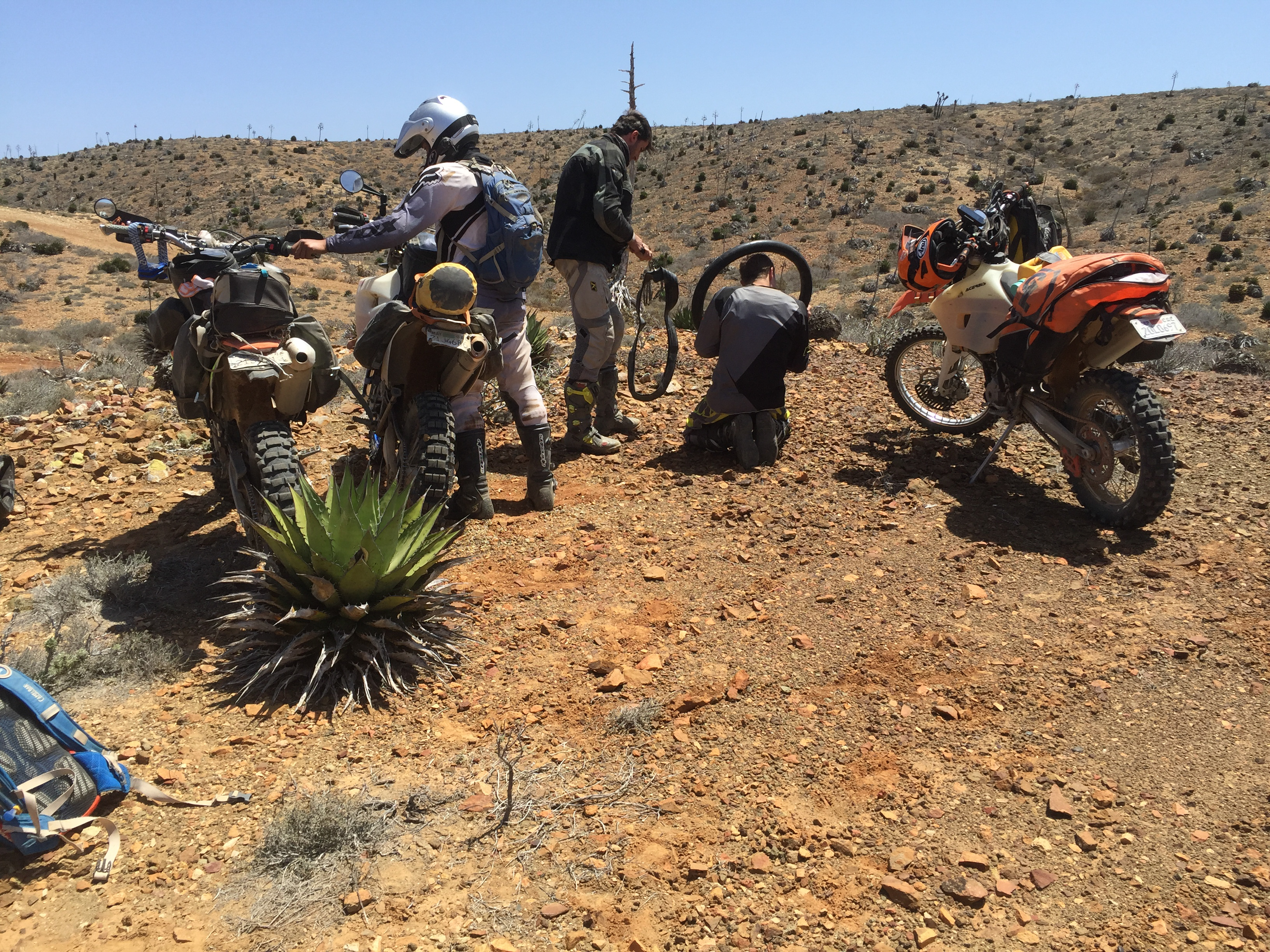
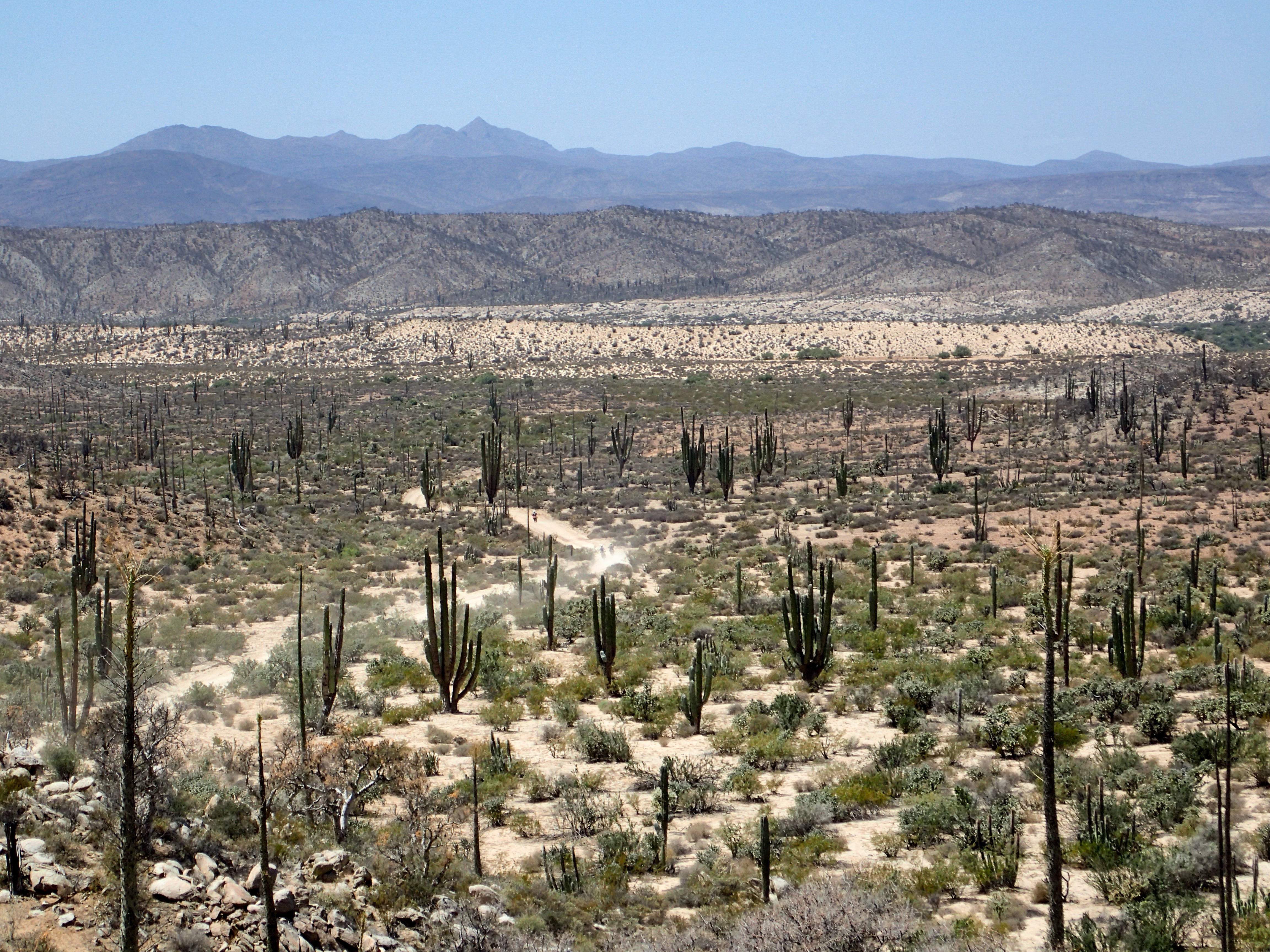
This might have been the most interesting day. The ride was fast and smooth along the coast past bluffs overlooking black sand beaches. We hit a section of a dried inlet of soft salty mud. It was a bit difficult to get through it without bogging down. I stopped at the end and turned around to try and radio to Jonny to tell him to keep his speed up when I noticed a low flying plane. As it got closer I noticed that it’s flaps were down and must be coming in to land. However, we were in the middle of no where and there were no airports anywhere near us. After the others caught up we ended up riding within meters of the plane that just landed. It was met by a number of trucks and dudes loading uniform green packages out of the plane and into the trucks. I gave them a friendly wave but clearly was not planning on stopping. Less than a mile down the road a truck was barreling towards me…I let it get within a couple hundred feet and then shot off the road into the dessert cutting straight across to another road running parallel. The others, behind me, saw this and detoured to the same road. We tried to keep a good pace trying to get far enough away from the plane and trucks but shortly Jimmy noticed he had a flat tire. We waited for a split off and tried to change it as quickly as we could. We got back the main road a few hours later and decided to book it back to El Rosario for the night.After some coffee and time to dry our gear we head out to finish 22 days trail and get on the wide 2 track that heads up the coast.


0 comments:
Post a Comment