Stats
- Distance: 226 km (140 miles)
- Max Elevation: 2162 m (7094 feet)
- Min Elevation: 331 m (1087 feet)
- Ascent: 3966 m (13015 feet)
- Descent: 3628 m (11906 feet)
Description
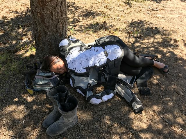
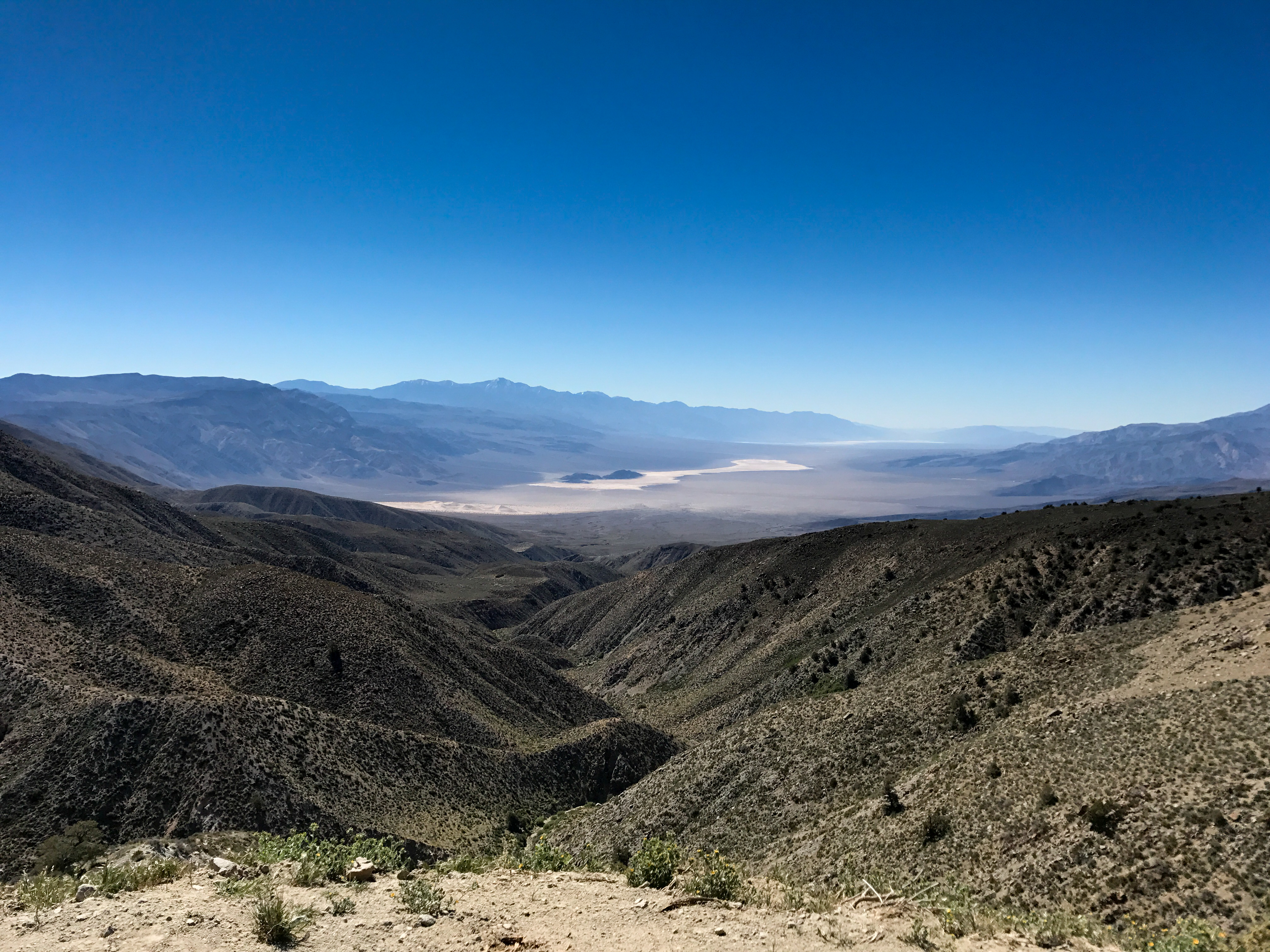
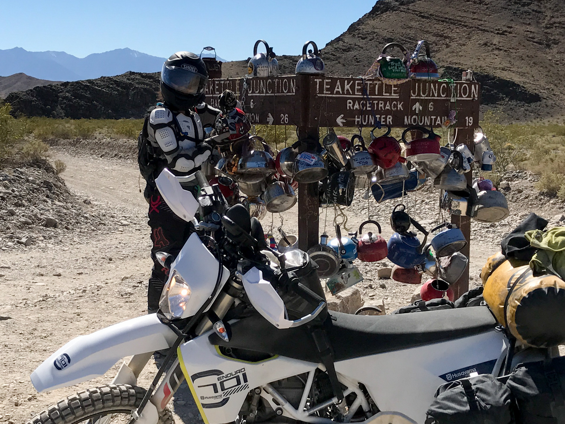
We left Saline Valley early in the morning. Headed all the way out of Saline Valley Road to Route 190 to get gas and lunch before heading back towards Hunter Mountain and The Racetrack. It was very hot at the Racetrack but we needed to find camp. We decided to head back down Lippencot Road back towards the hot springs. The road was very rocky and steep and slow going. We had to stop a few times to let the rear brake cool down. We decided to camp off the side of the road in the first clearing we found with shade. We were both so exhausted we never even got the tent setup, ended up falling asleep on the sleeping pads which was quite pleasant.Photos
-

-

-

-

-
-

-

-

-

-
-
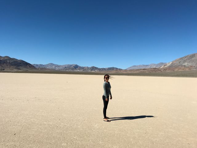
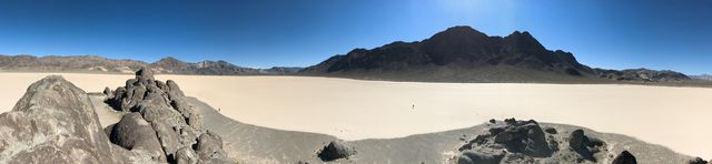
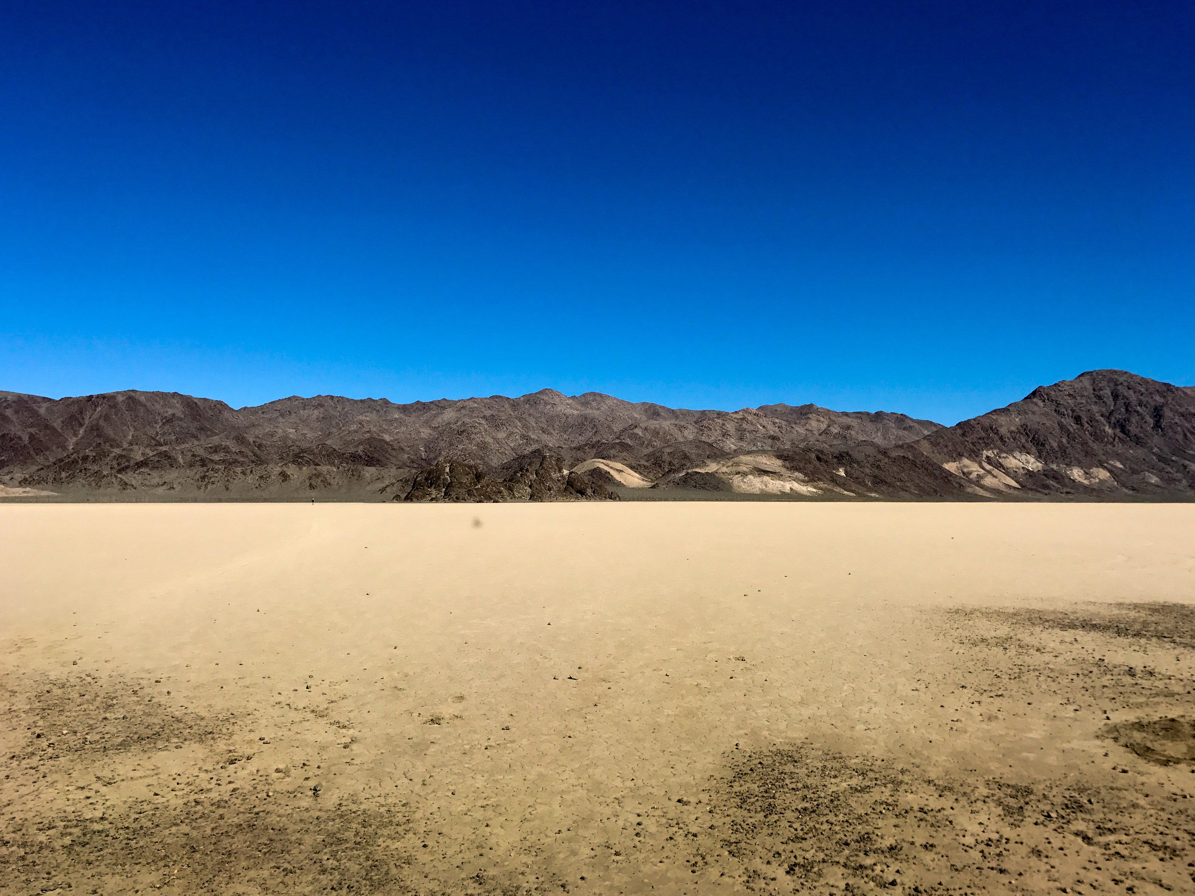
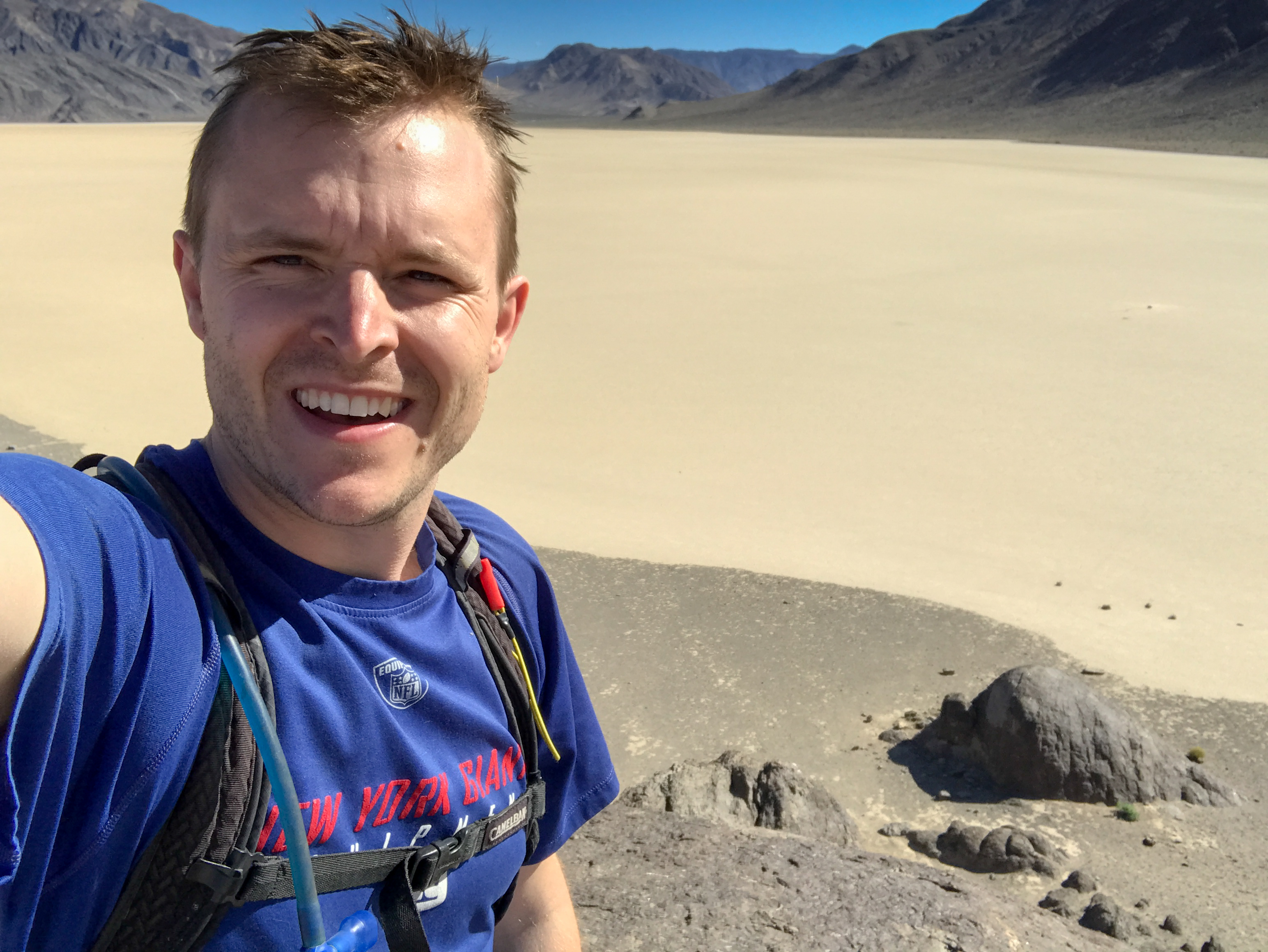
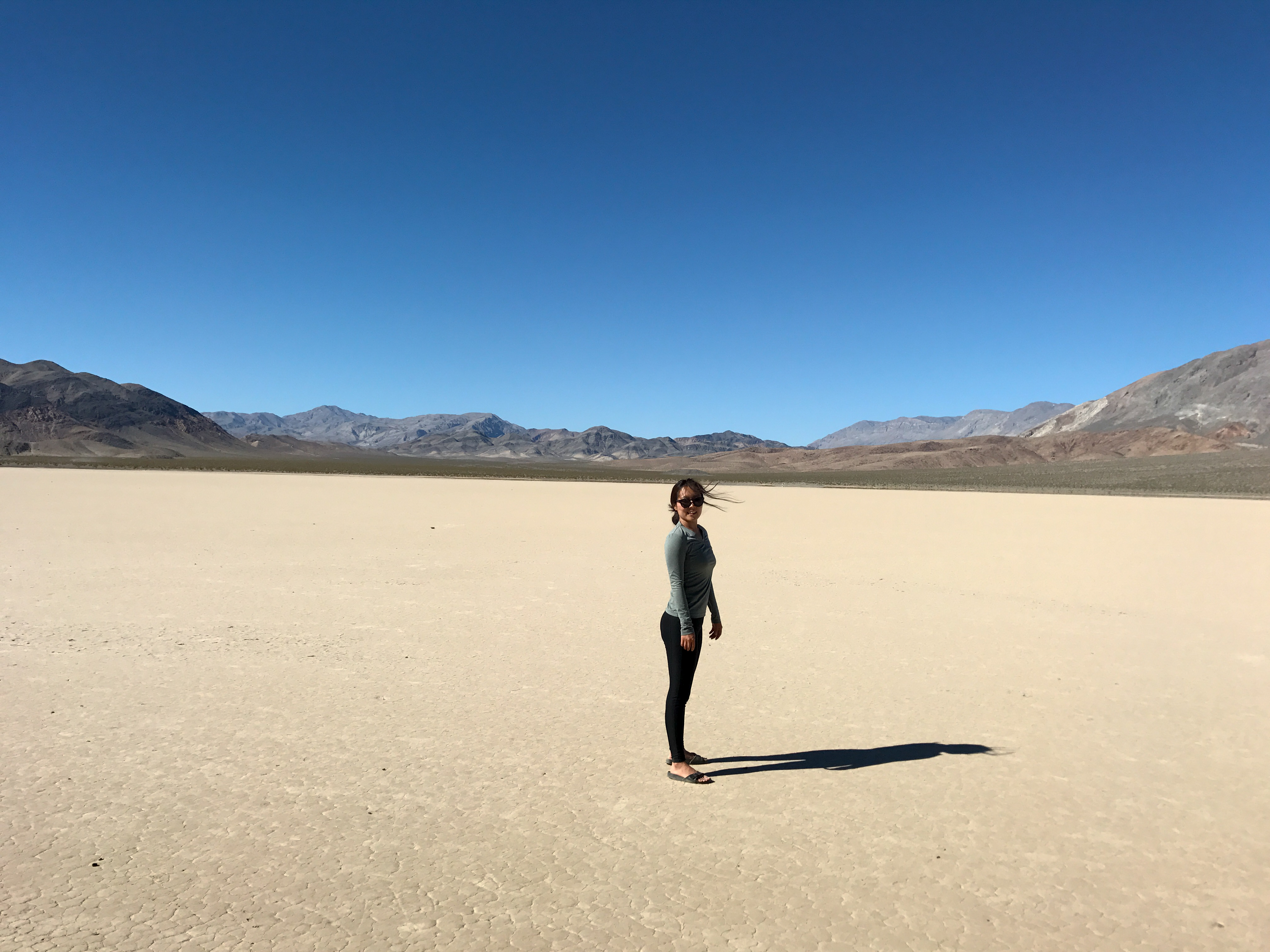
Racetrack
-
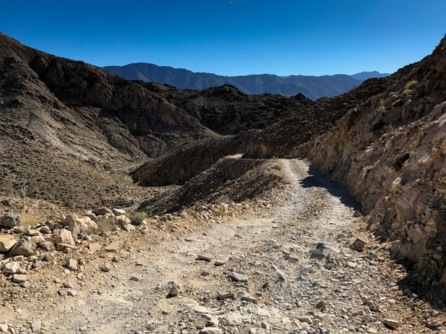
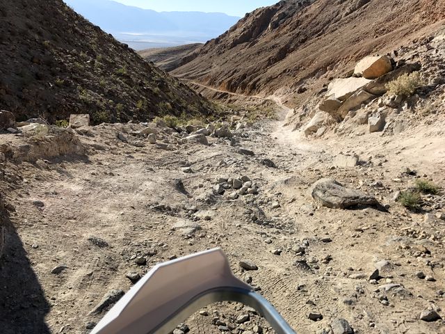
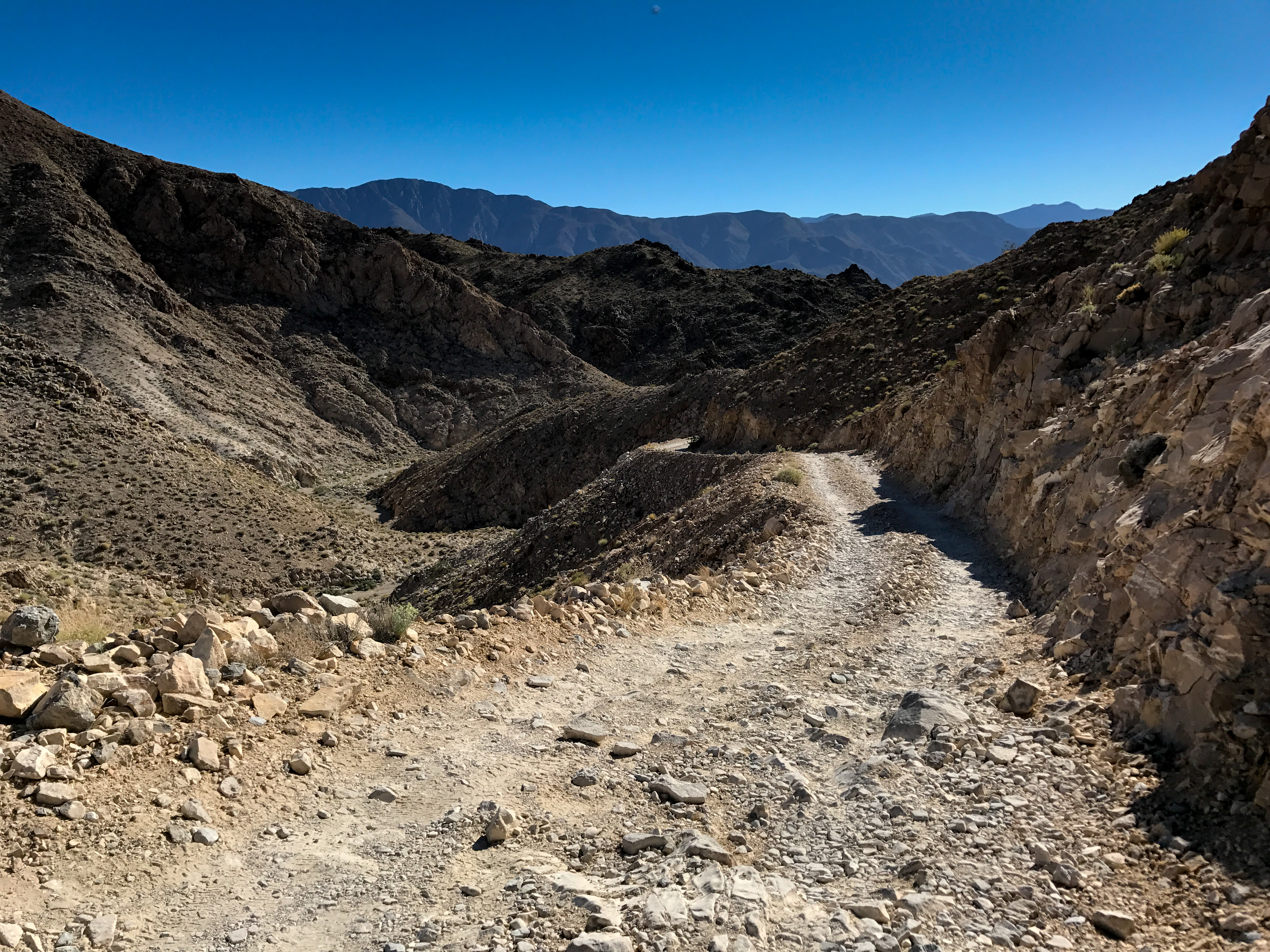
Lippencot Road
-
-

-
Fell off the back of the bike on a steep downhill rocky part. Wedged between fender and rear wheel!
-

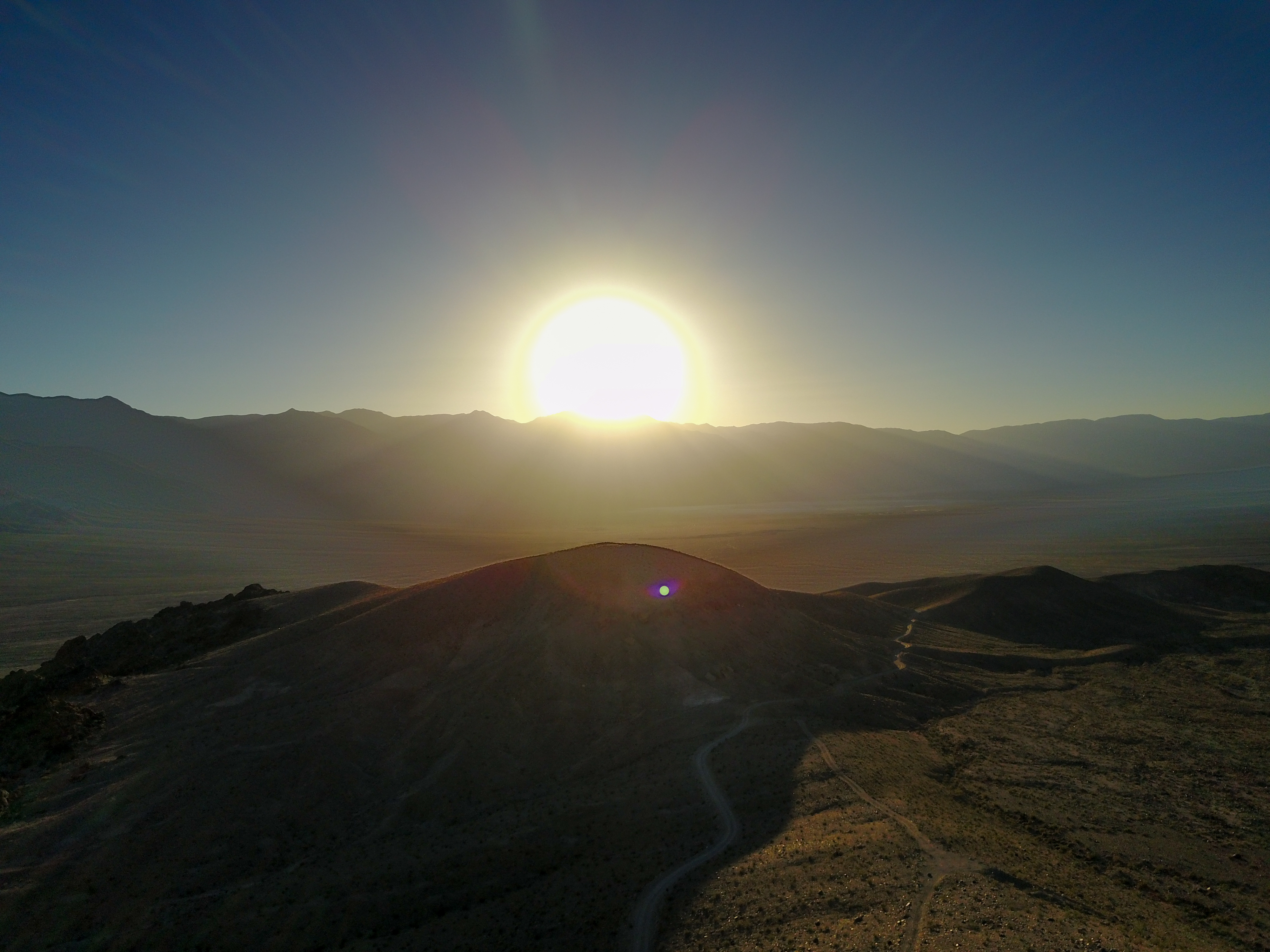
Drone shot of sunset.


0 comments:
Post a Comment