Stats
- Distance: 444 km (276 miles)
- Max Elevation: 2530 m (8301 feet)
- Min Elevation: 374 m (1227 feet)
- Ascent: 6315 m (20720 feet)
- Descent: 7772 m (25501 feet)
Description
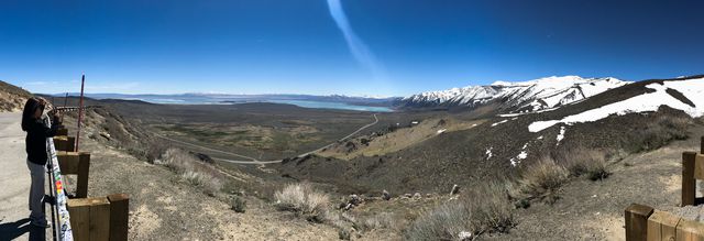
Started out the day in South Lake Tahoe. Headed down the 395 with the beautiful snow capped sierras to our right. A stop for lunch at Whoa Nelly Deli at the famous Tioga Gas Mart before heading to Big Pine to leave the van for the bike. After loading up the bike and topping up on gas we would ride 60 miles out to Saline Valley Warm Springs to camp for the night. The springs at Saline Valley are picturesque and very refreshing.Photos
-
-
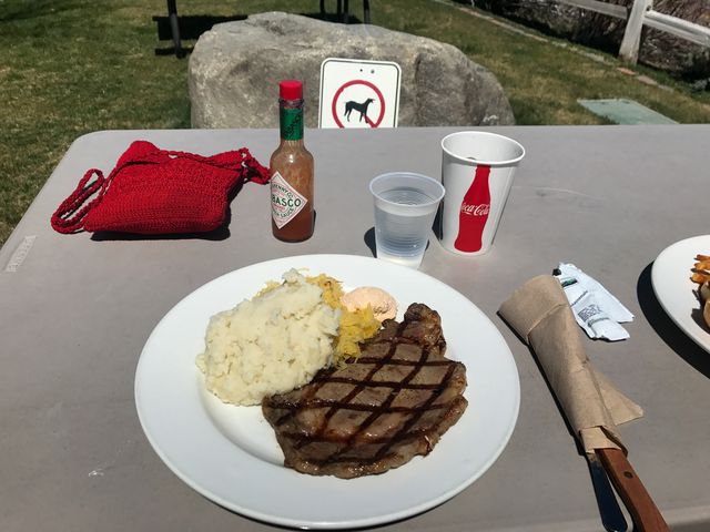
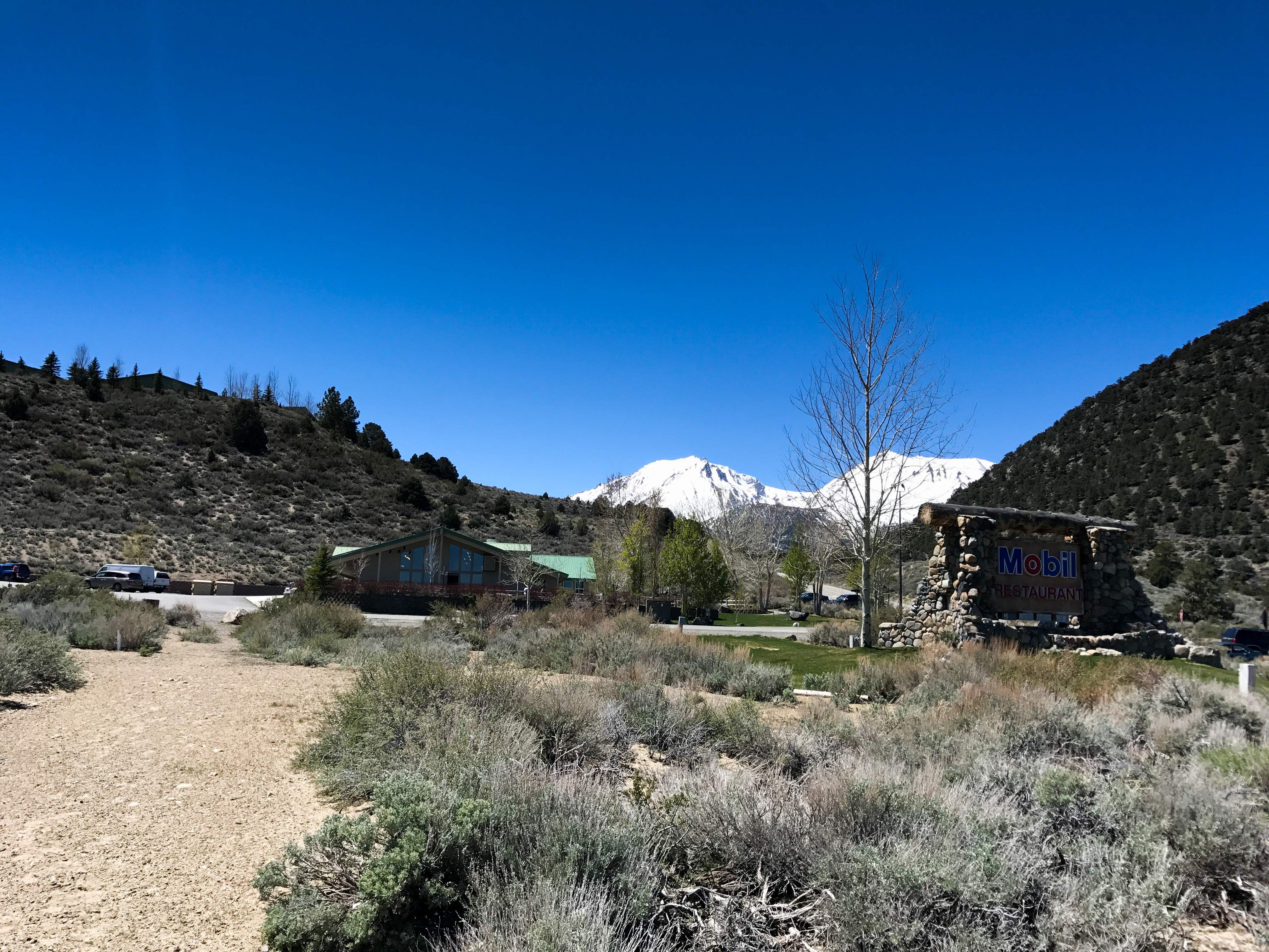
Lunch at Whoa Nelly Deli!
-

-

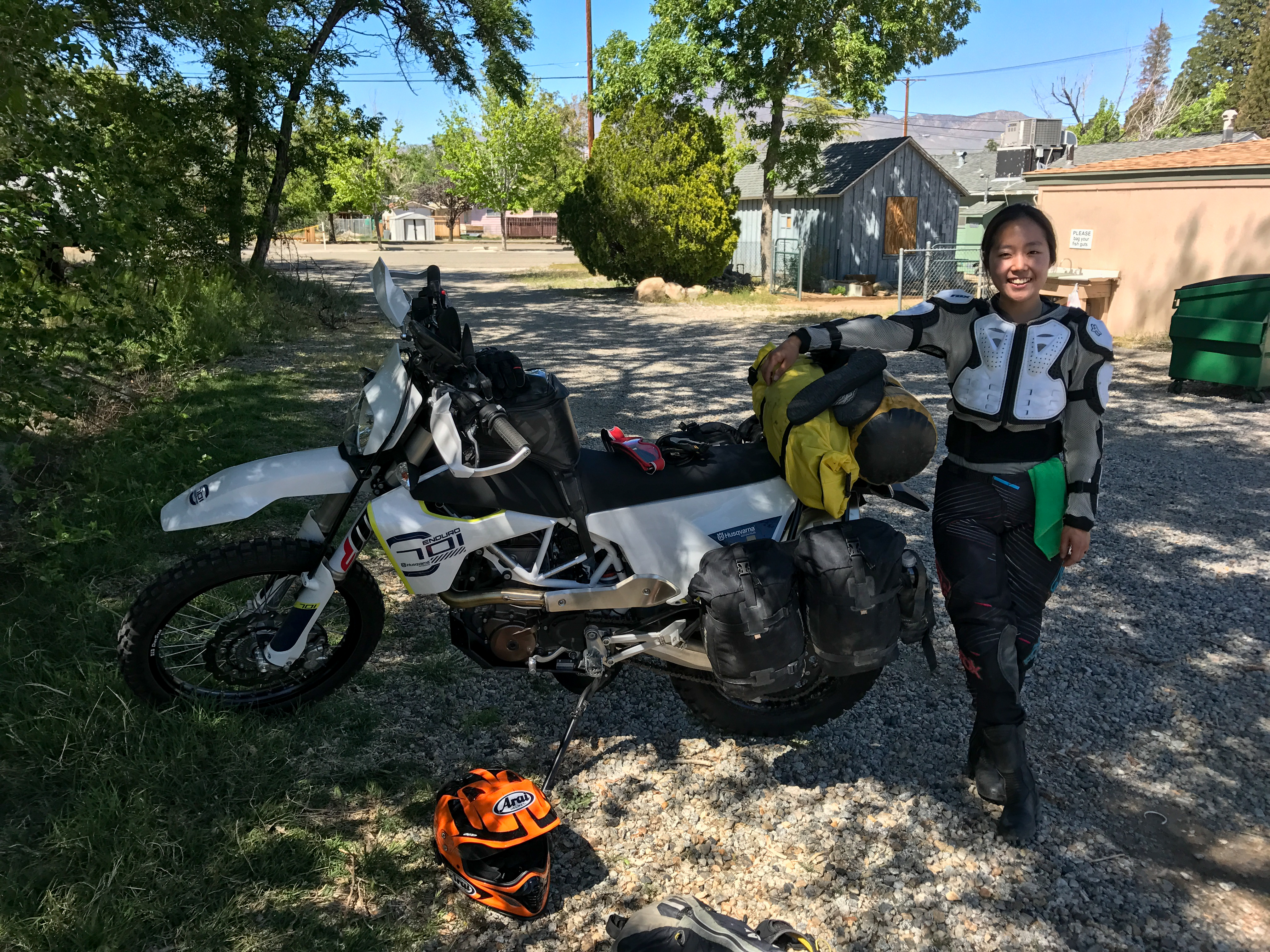
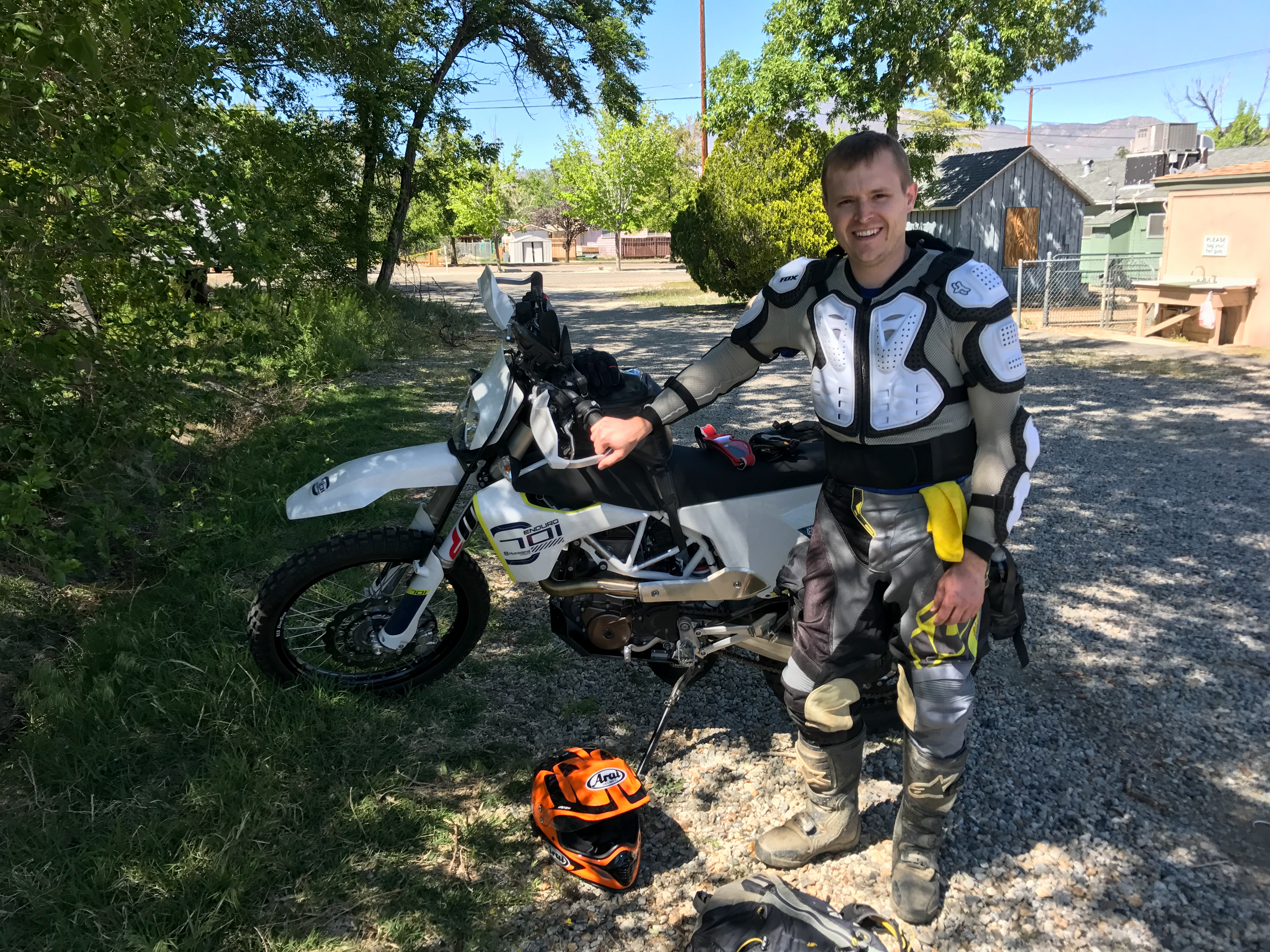
Just before setting off.
-

-

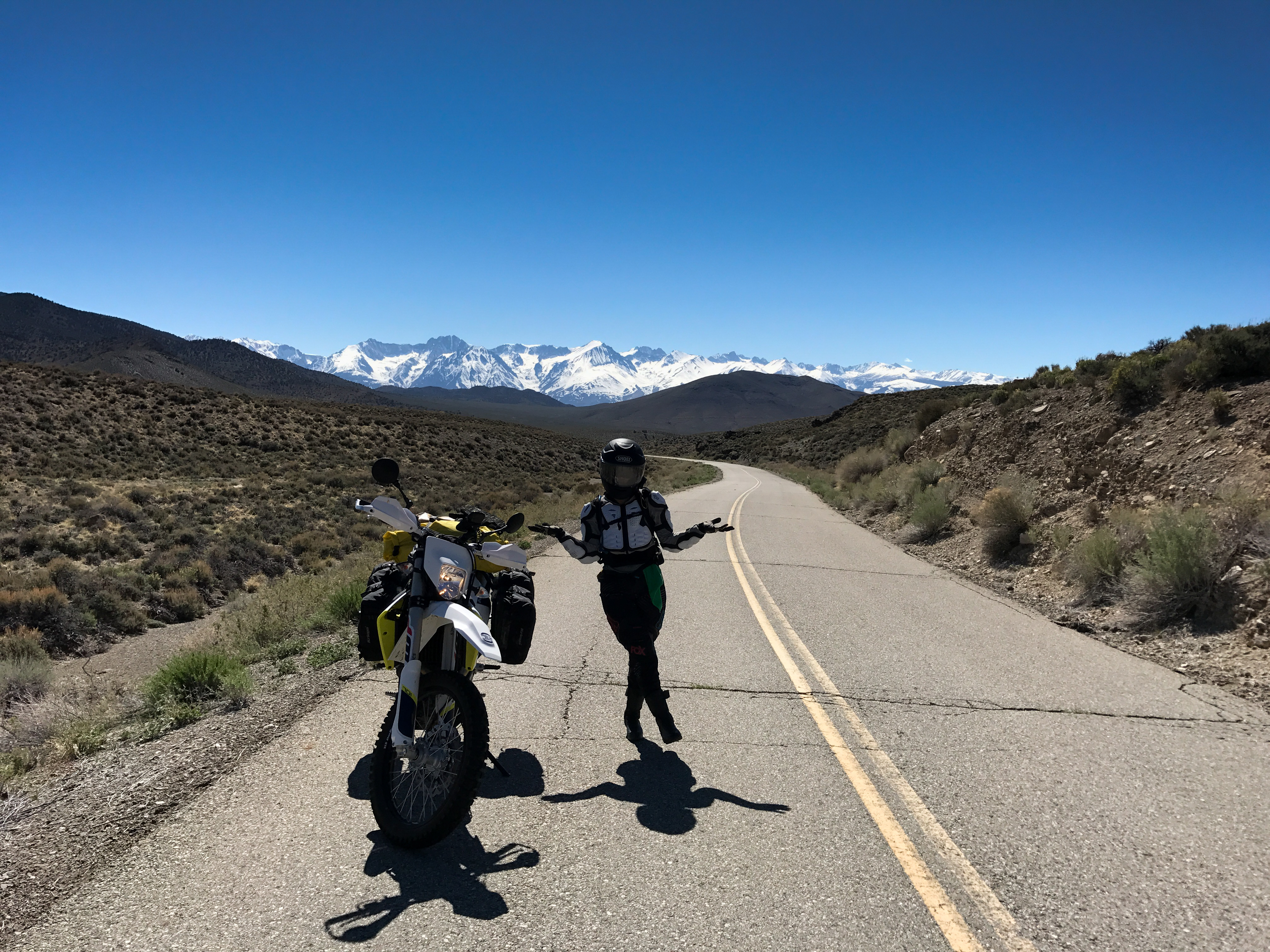
Beautiful ride up to the start of the dirt roads.
-
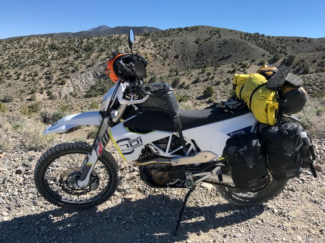
Fully loaded 701 with 4 gallons of water, 4.5 gallons of gas, camping gear and food for 2 days.
-
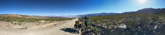
Yoonjee getting excited.
-

Saline Valley Warm Springs
-
-


0 comments:
Post a Comment