
Stats
- Distance: 317 km (197 miles)
- Max Elevation: 2624 m (8611 feet)
- Min Elevation: 978 m (3211 feet)
- Ascent: 8445 m (27711 feet)
- Descent: 8301 m (27238 feet)
Description
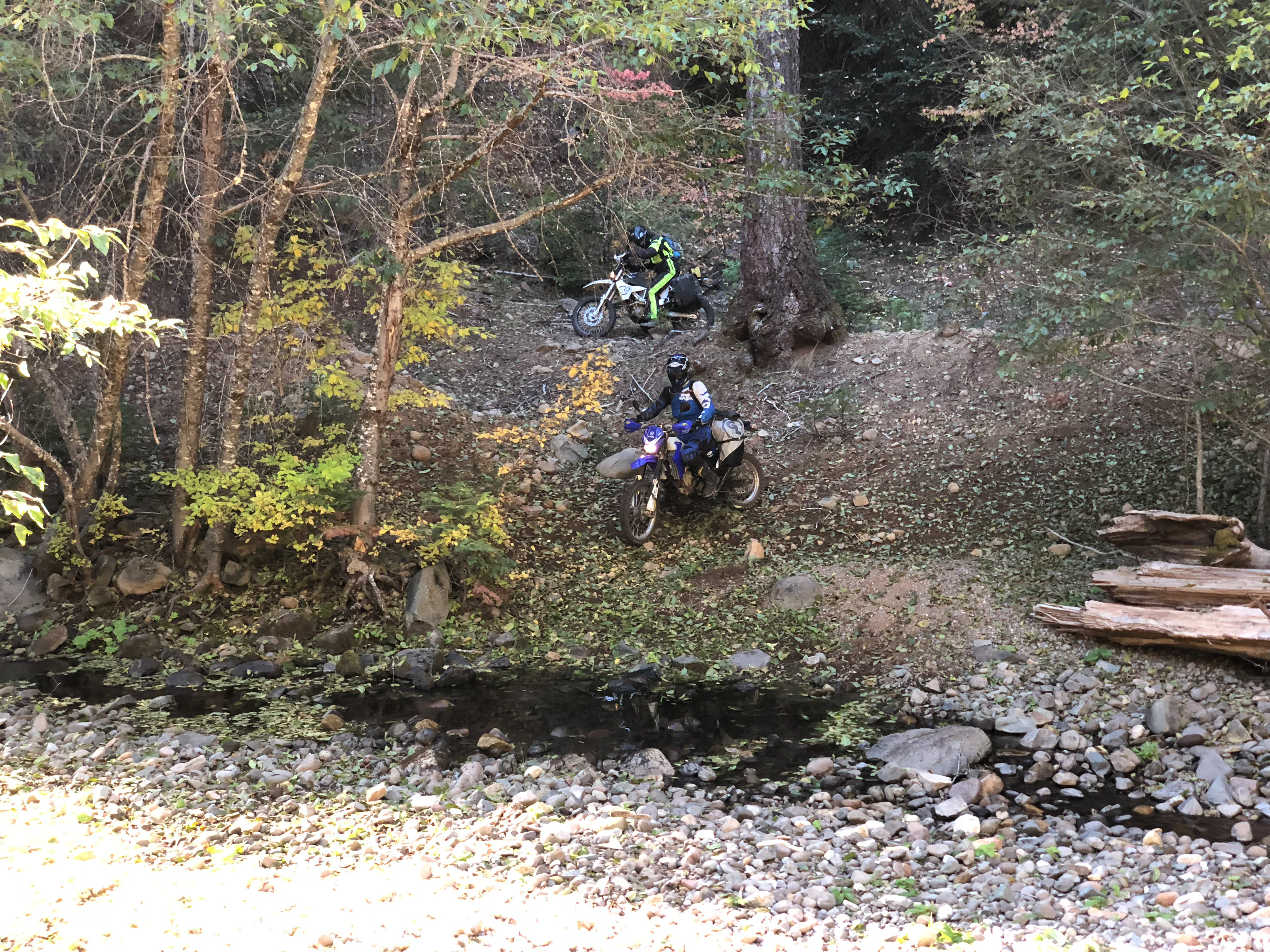
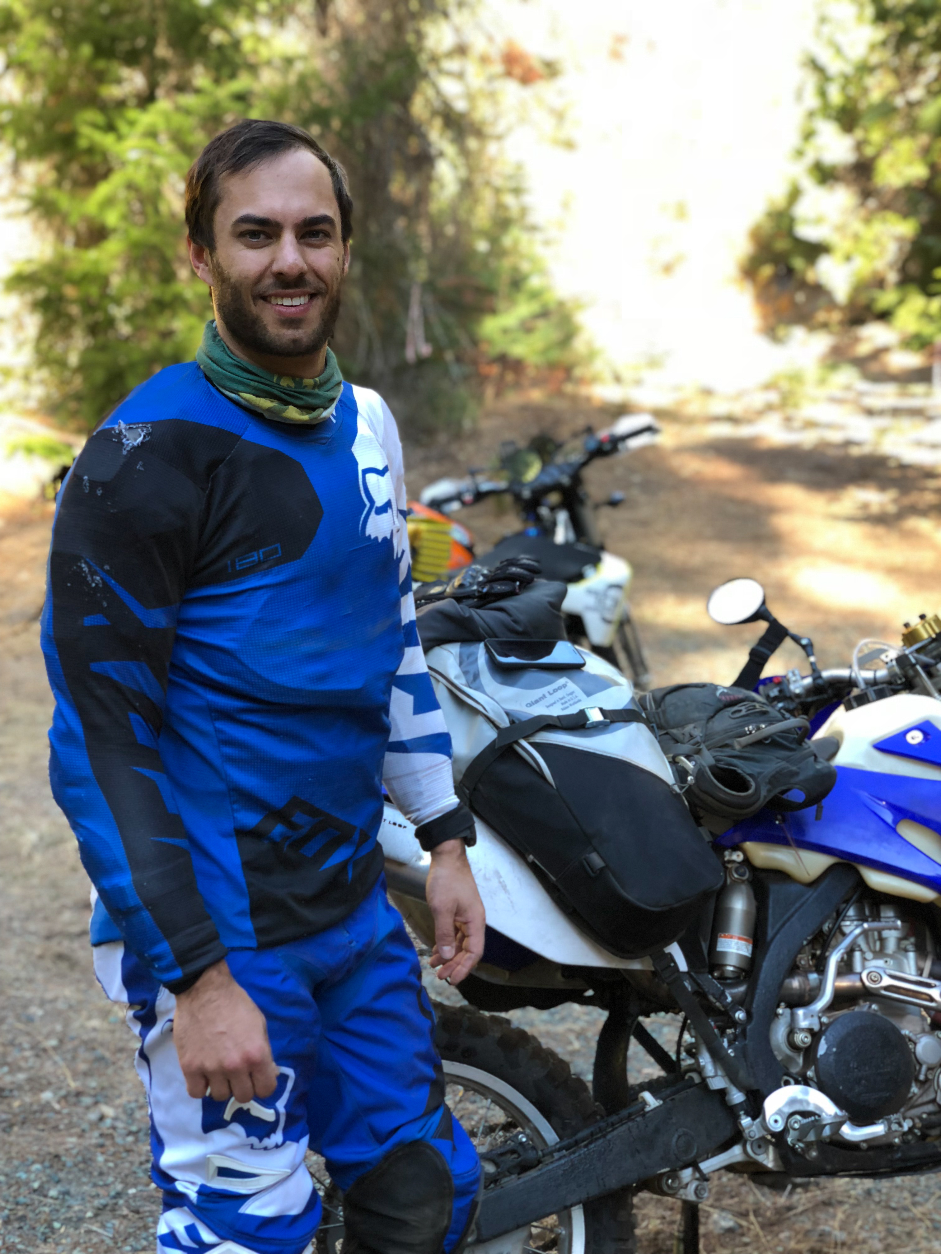
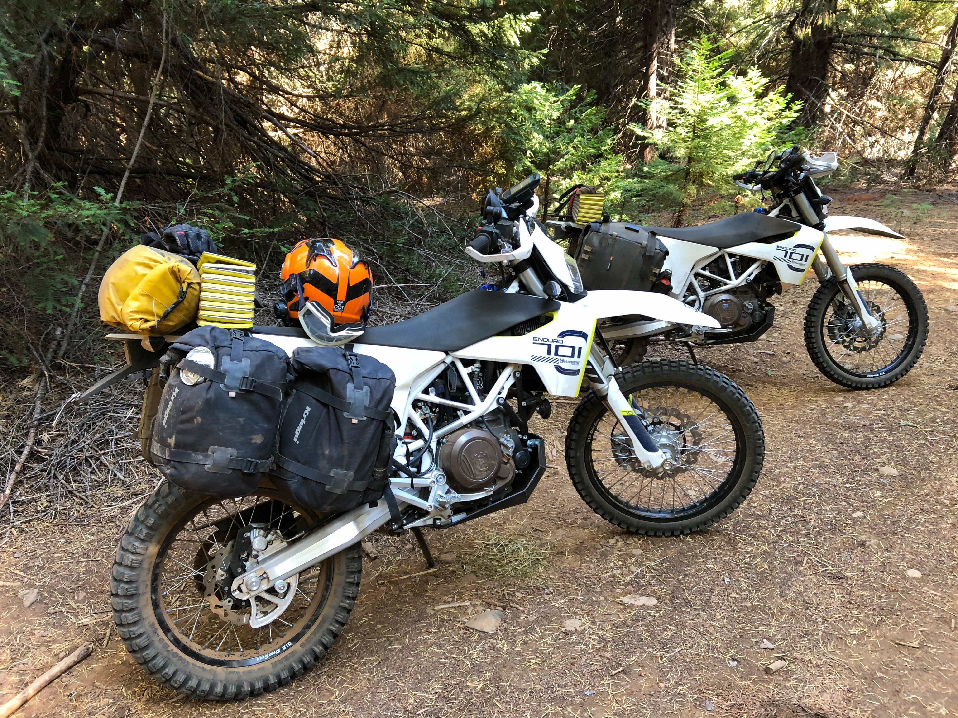
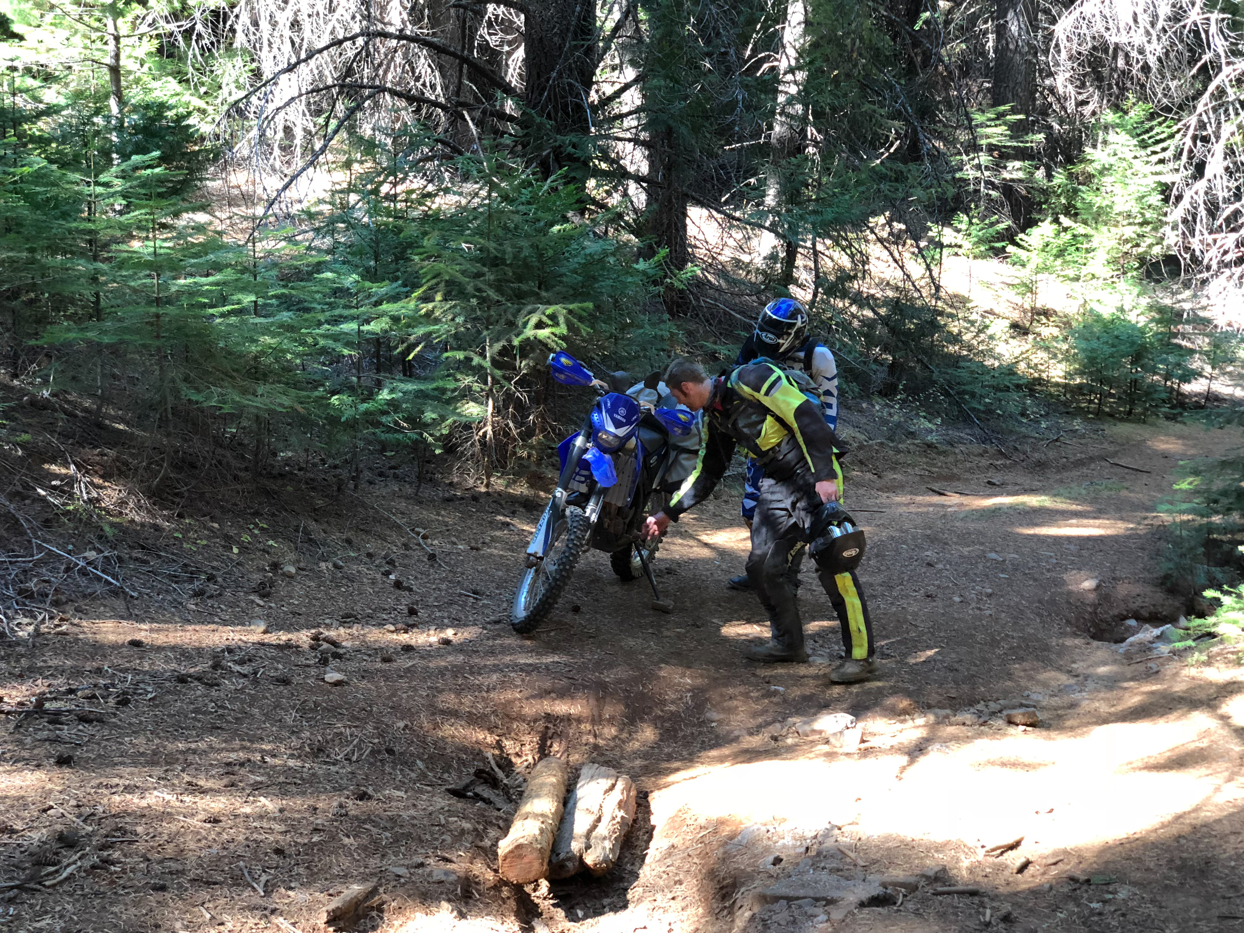
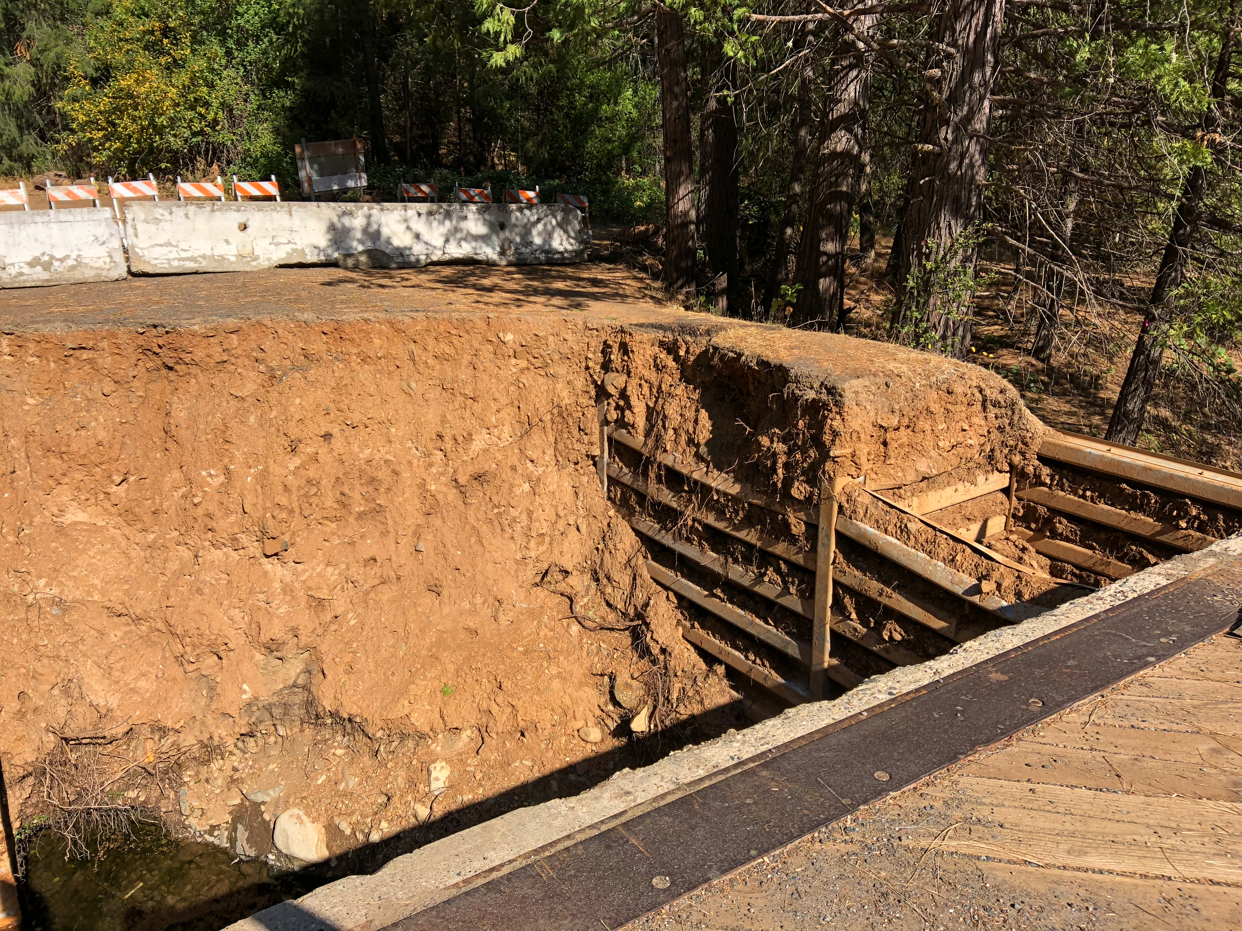
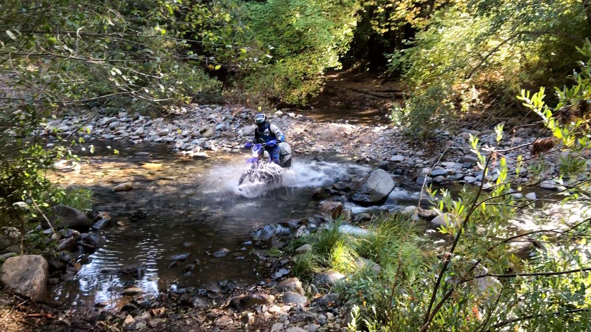
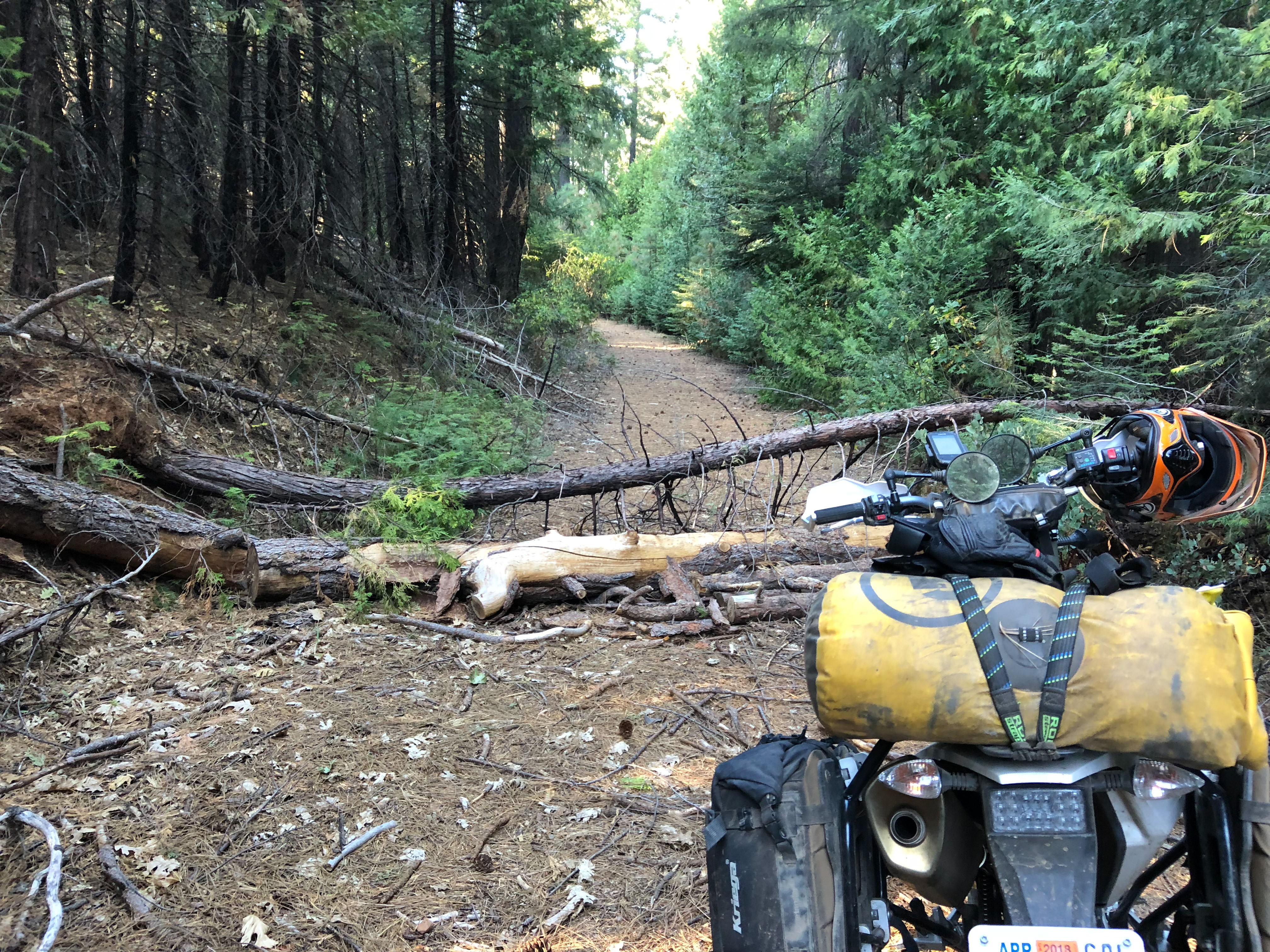
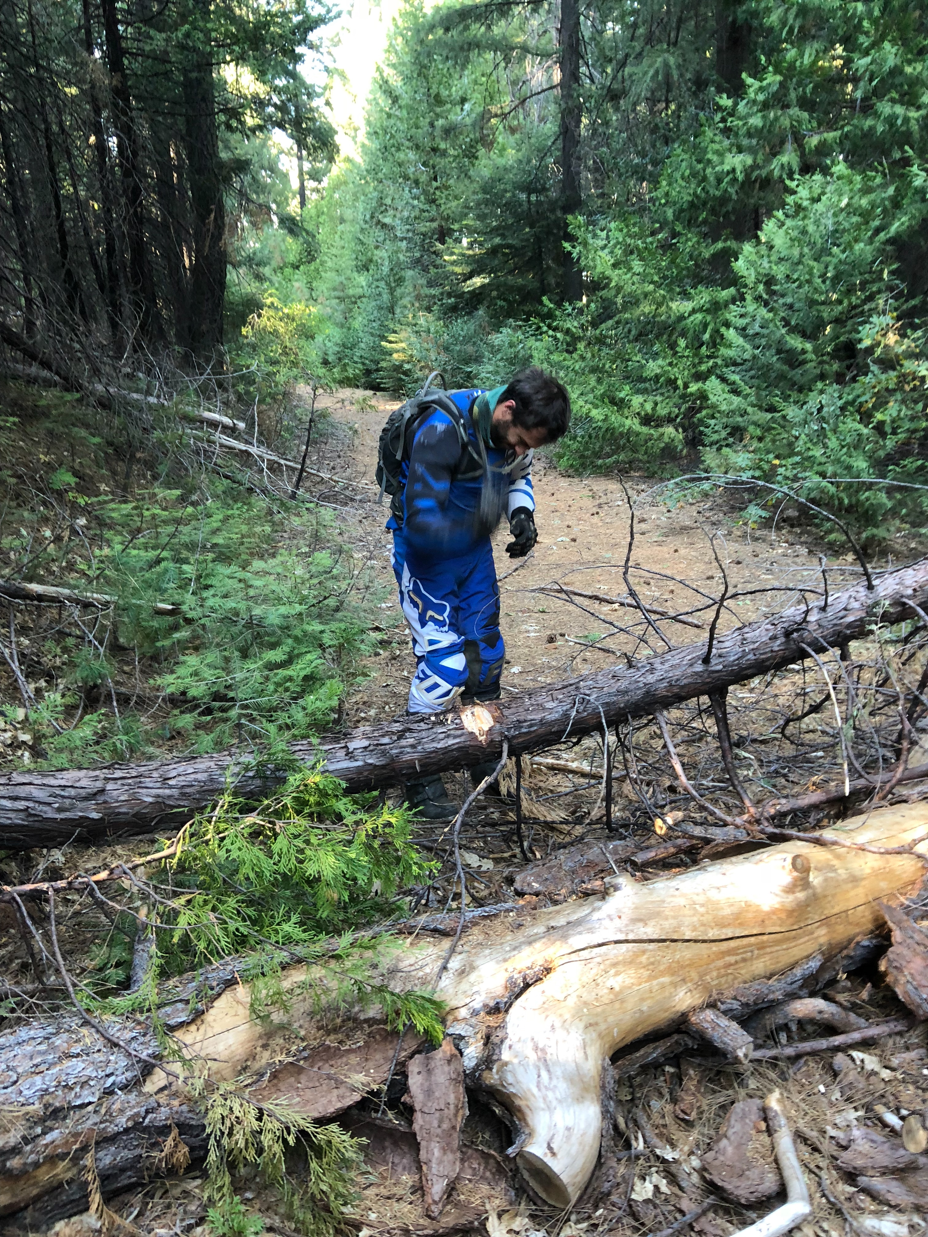
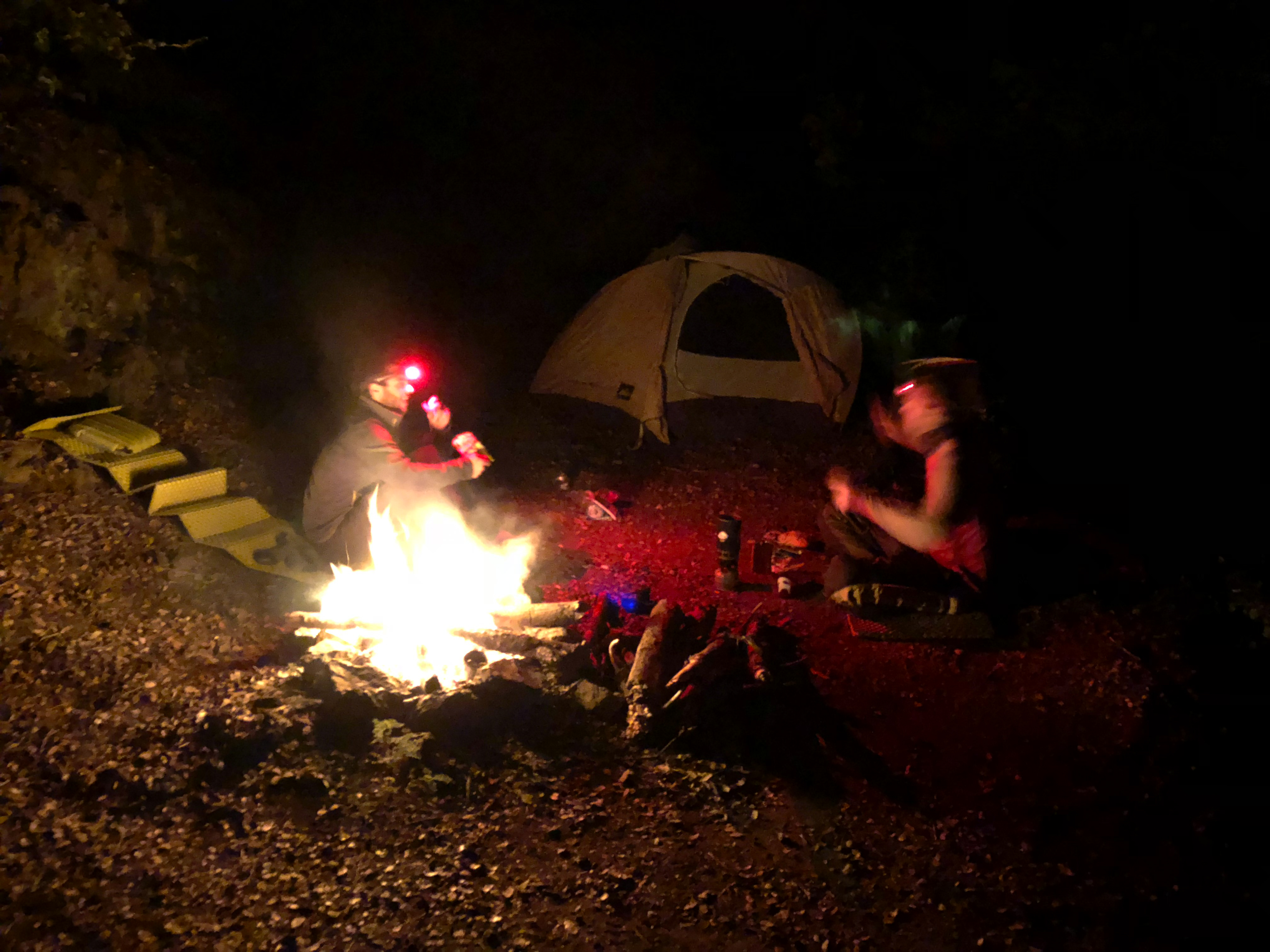
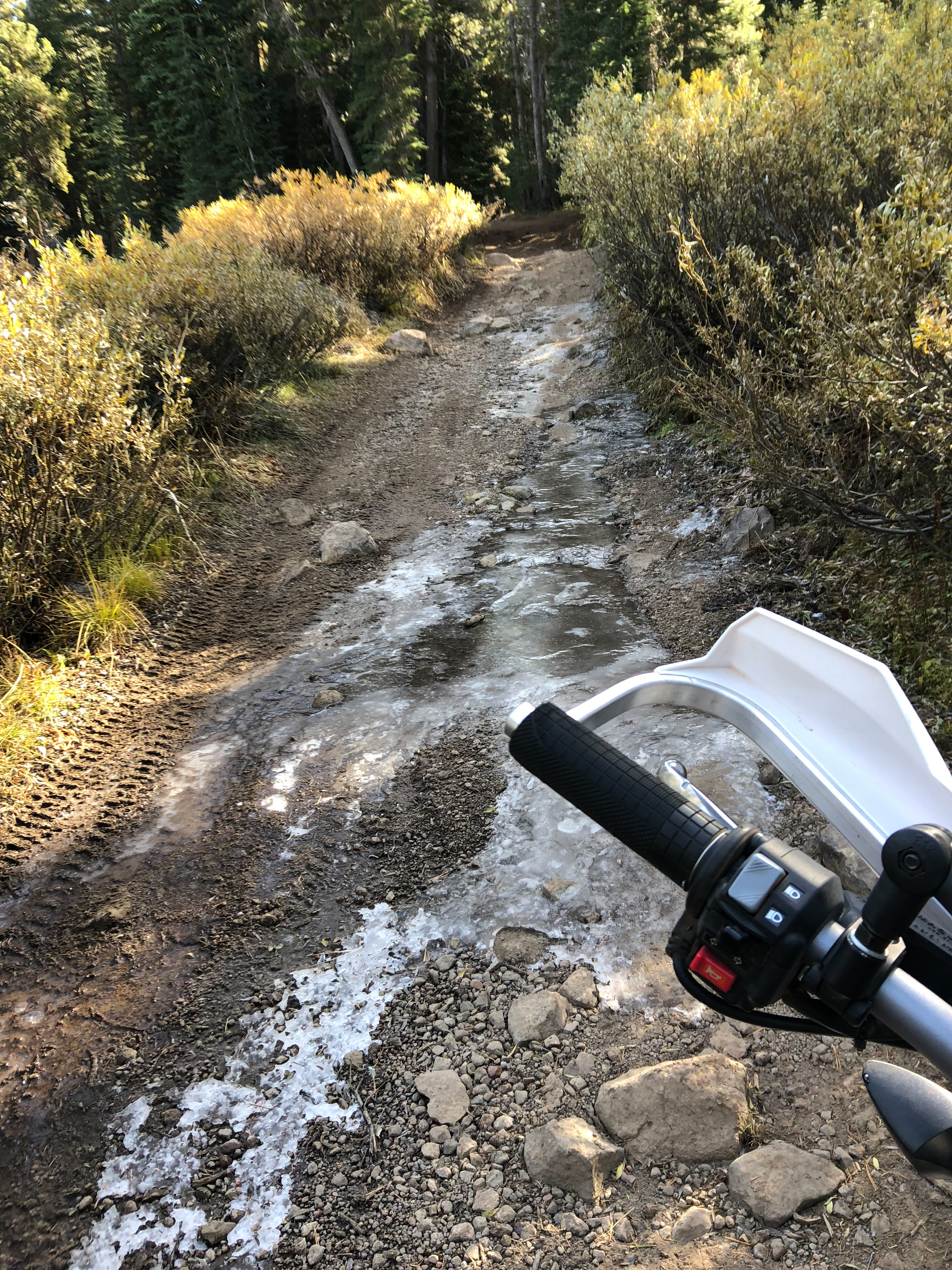
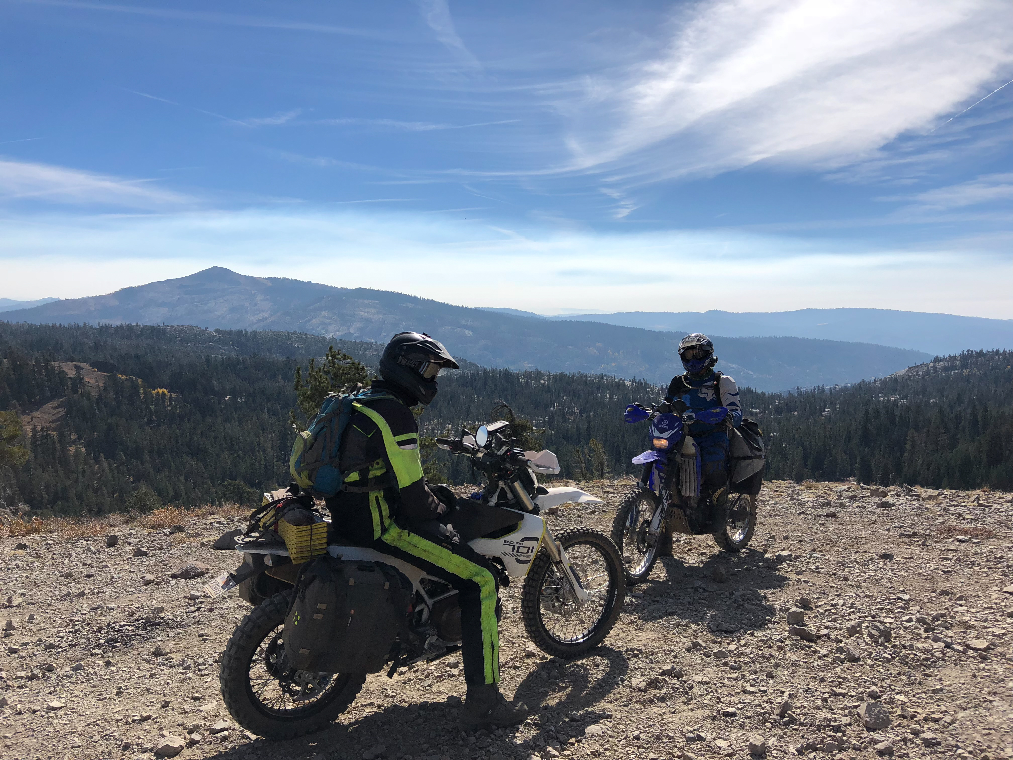
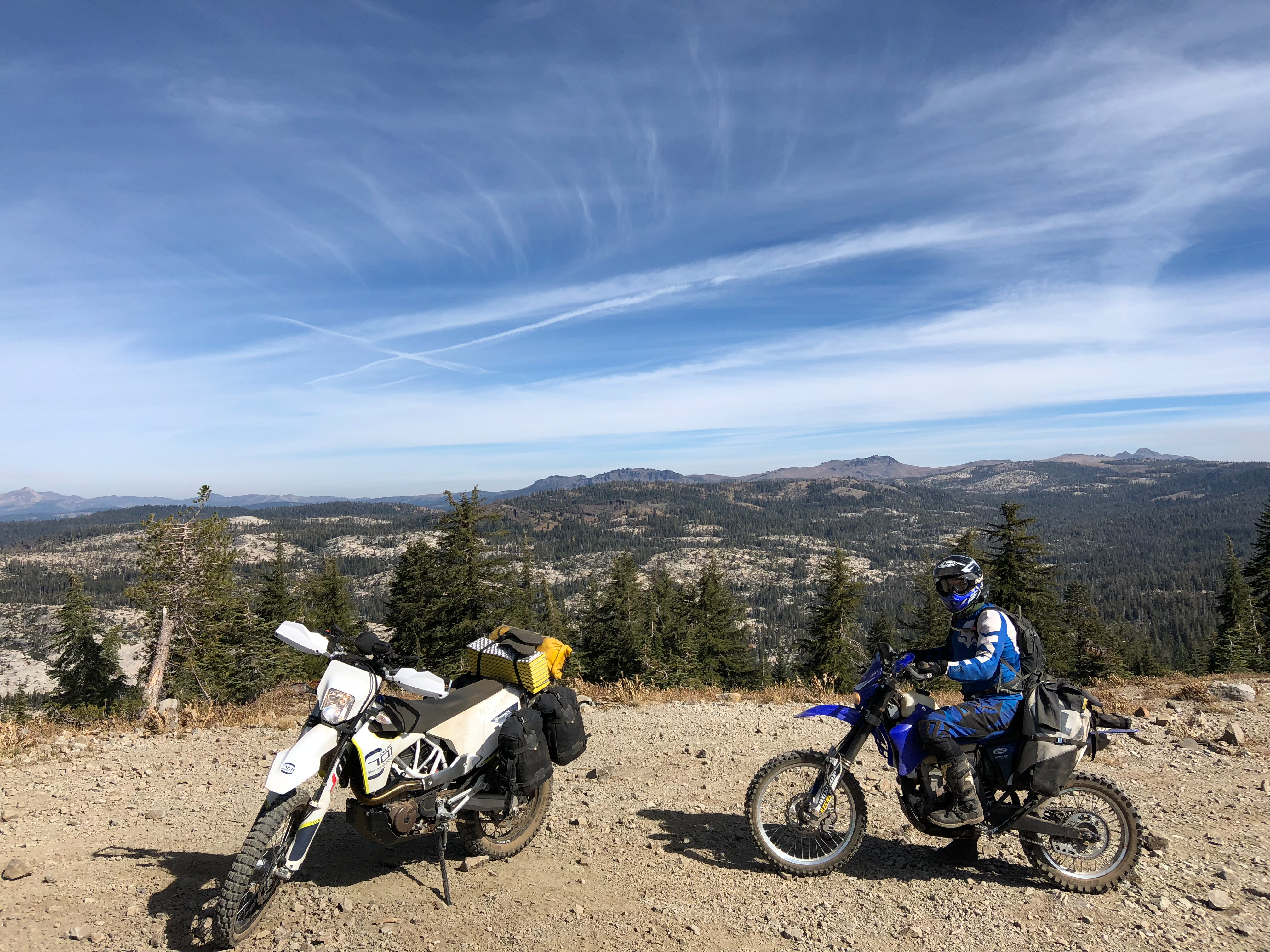
We left with the loose goal of getting from the Gold Note OHV to Jenkinson Lake with as much dirt as possible. Many wrong turns, river crossings, single track, bush whacking and downed trees later we actually reached our goal with very little pavement in-between. We found an awesome little secluded camp spot wedged in a hill side with great wind protection. Never got too cold and we had a surprisingly comfortable nights sleep.With no goal in mind we decided to blast 20 miles of highway over to Kirkwood area and do the high sierras trails we found on our last trip. Alex really enjoyed the loose rocky hill climbs and only once said he was going to sell his bike when he got home. Once we got down to below 6k feet things mellowed out and we had a great time ripping through some easier fire roads. All in all another successful trip. Beautiful fall colors and foliage, great views, some awesome trails and good company.

0 comments:
Post a Comment