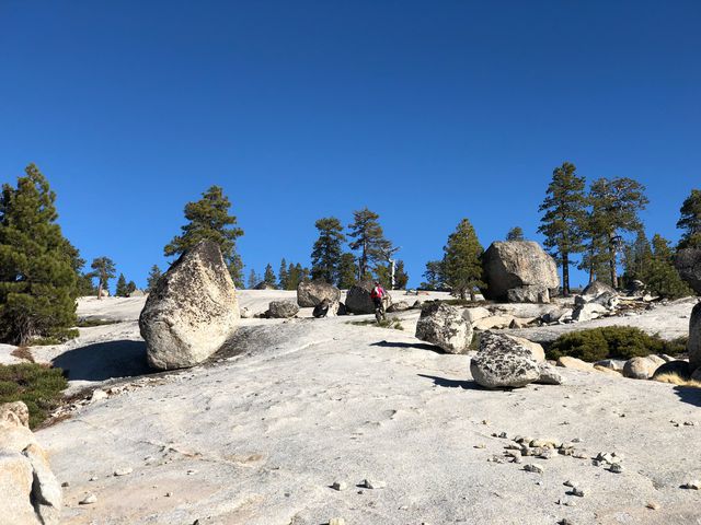
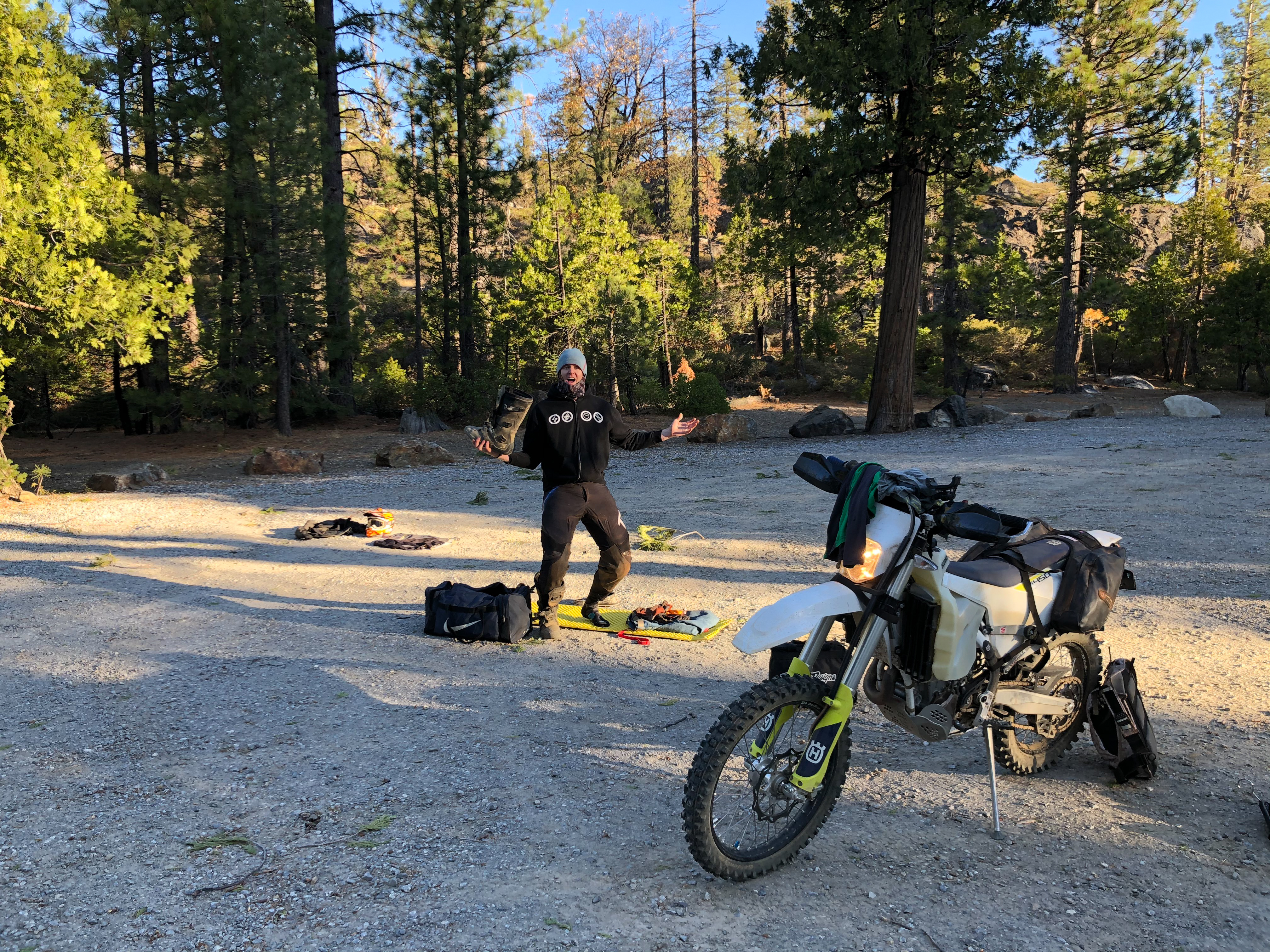
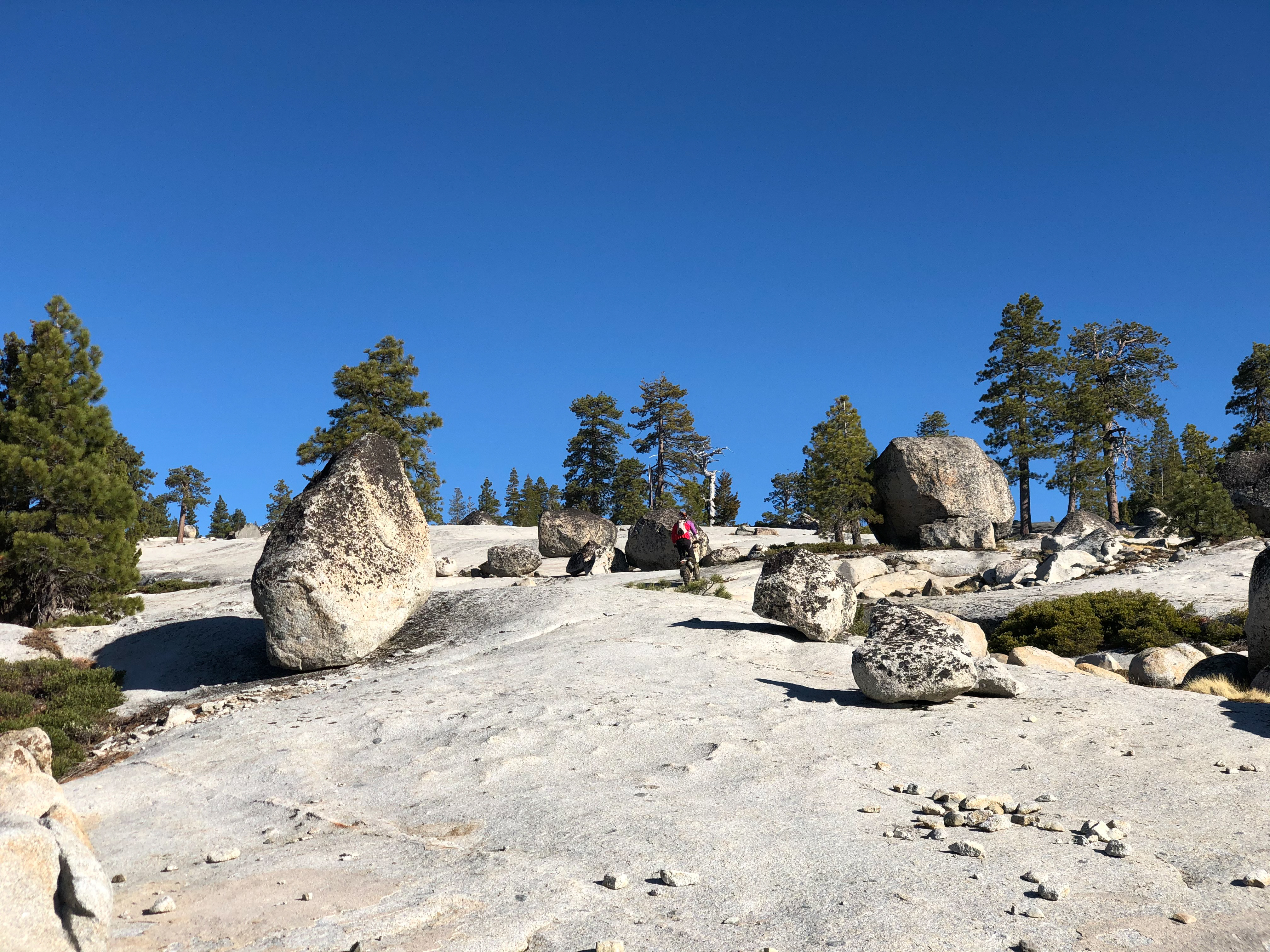
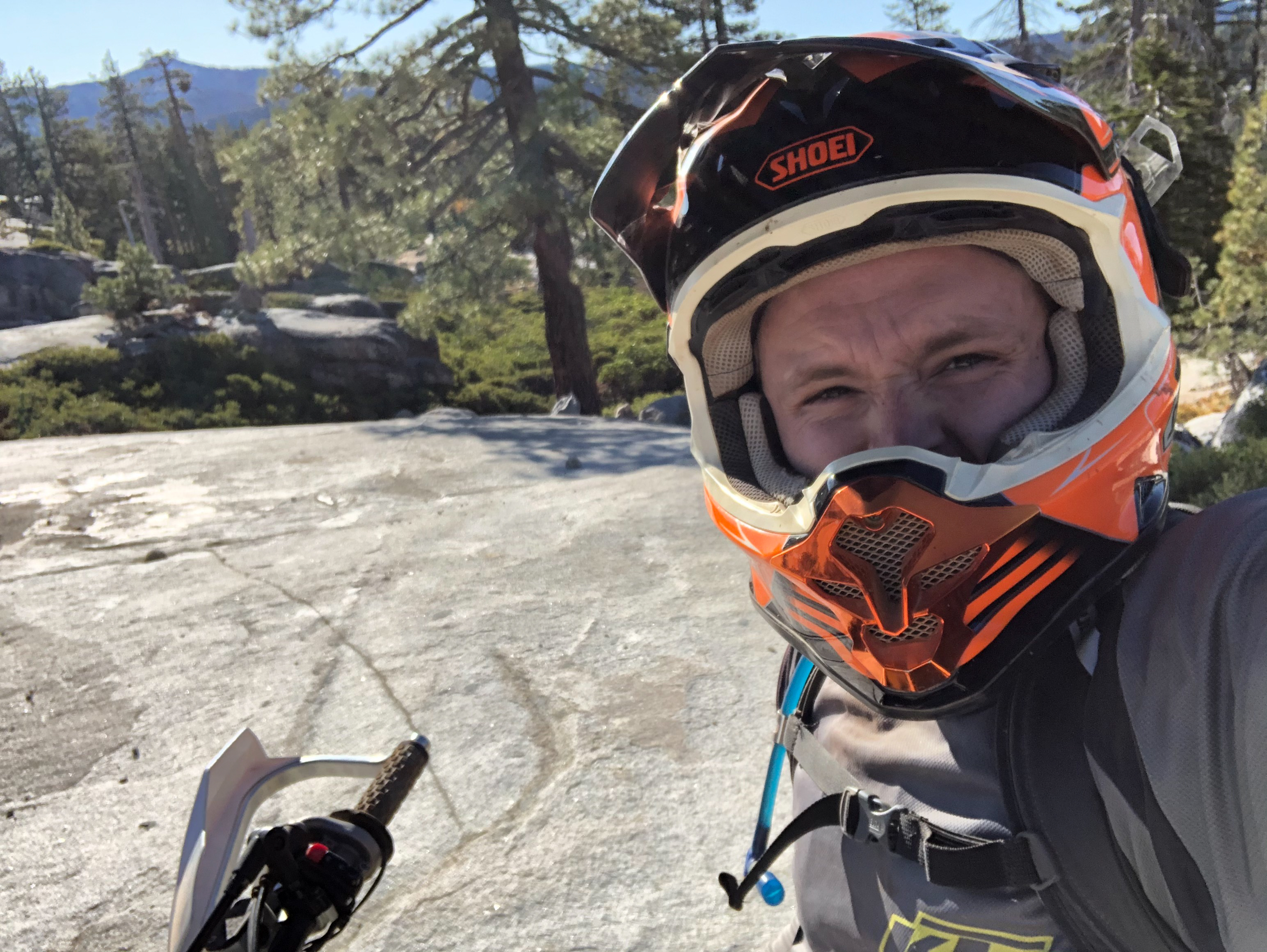
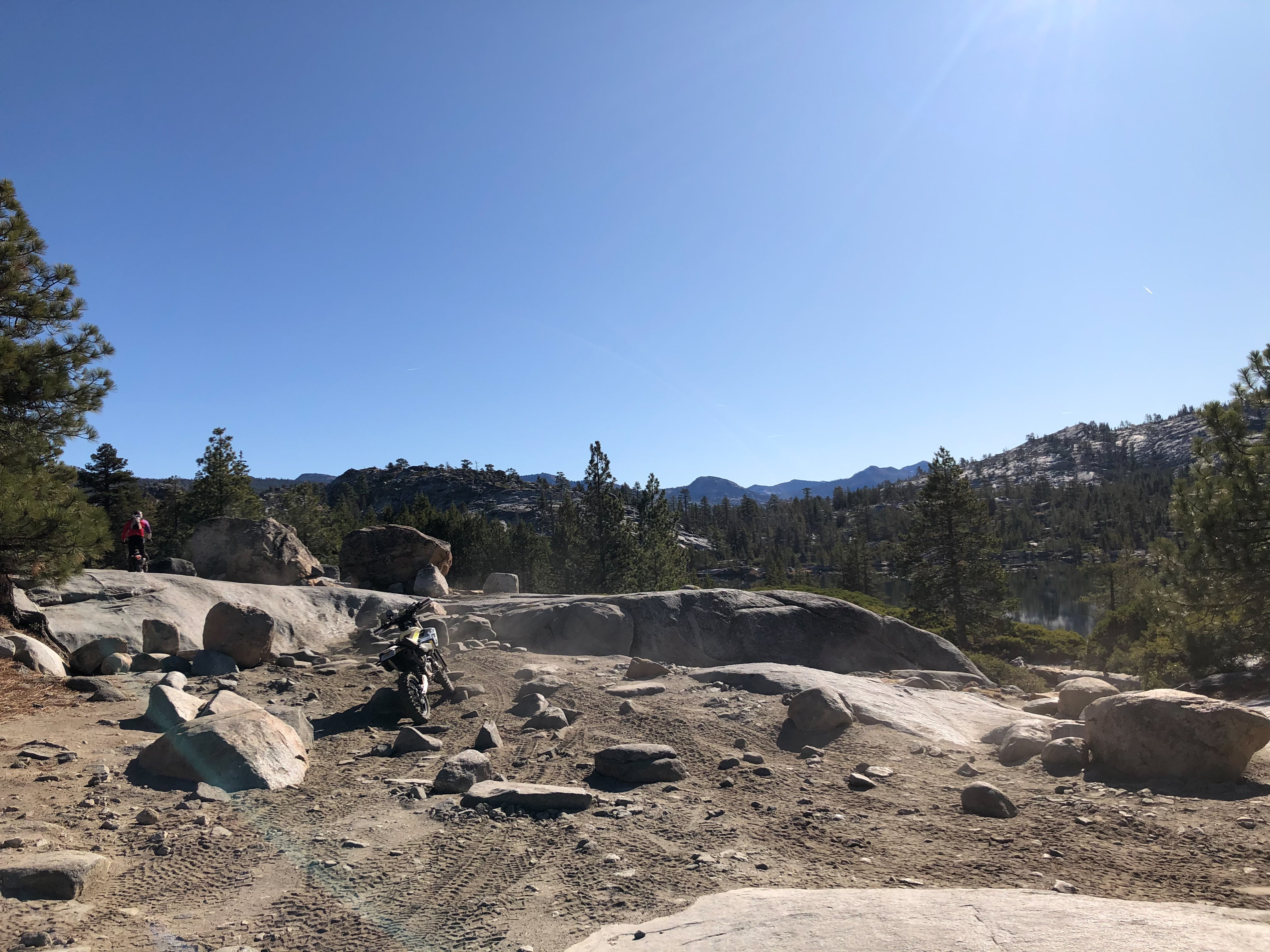
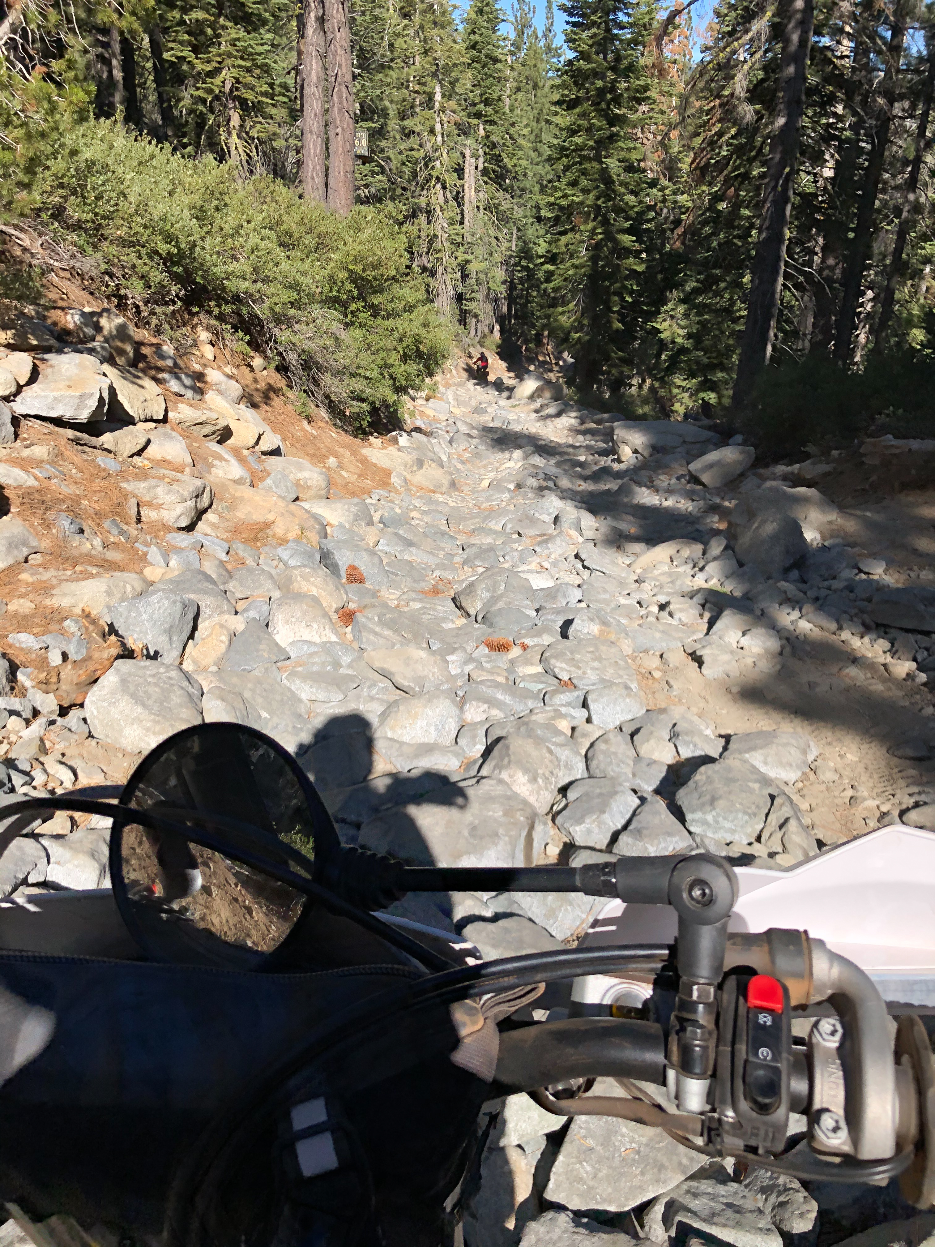
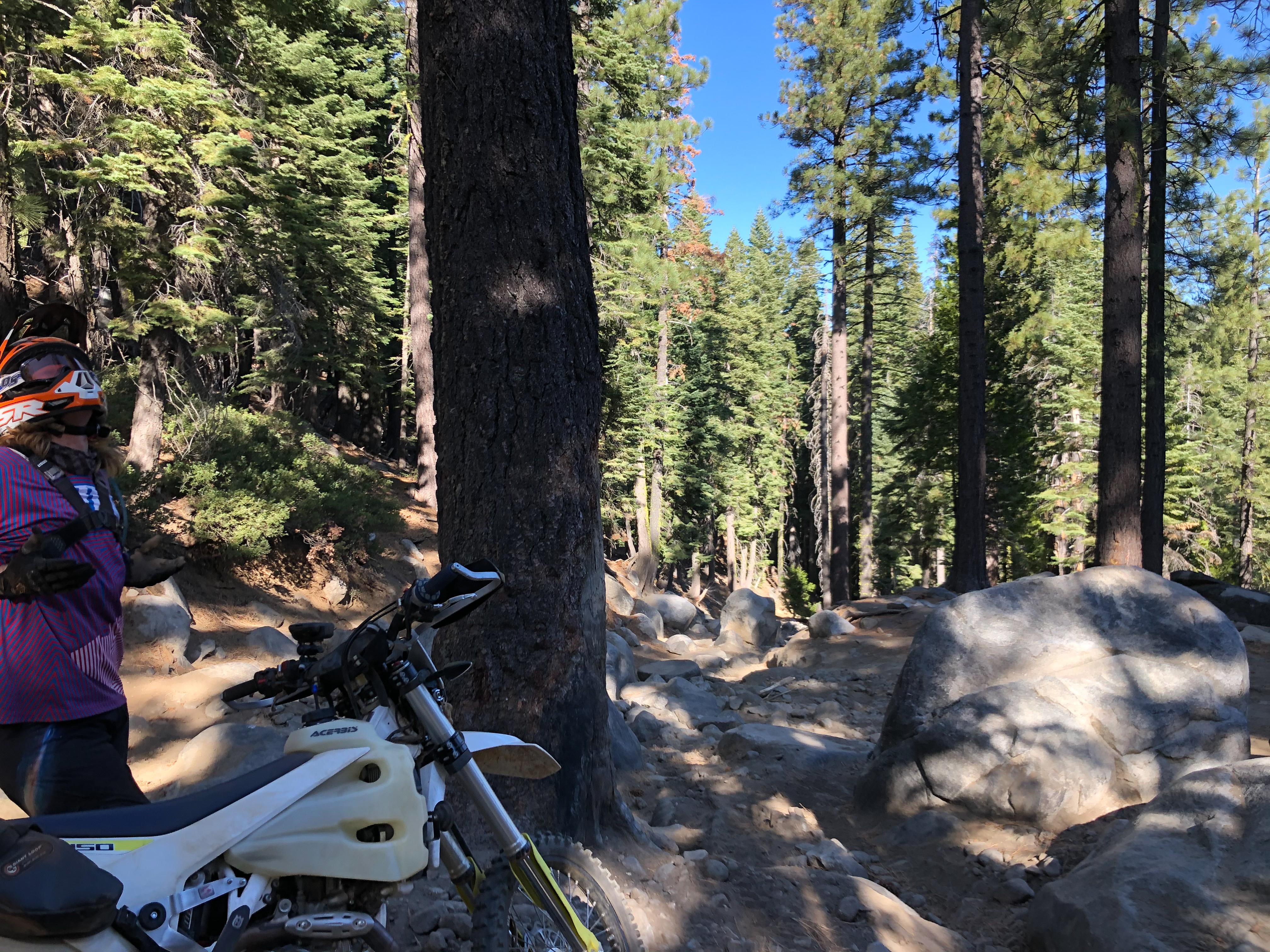
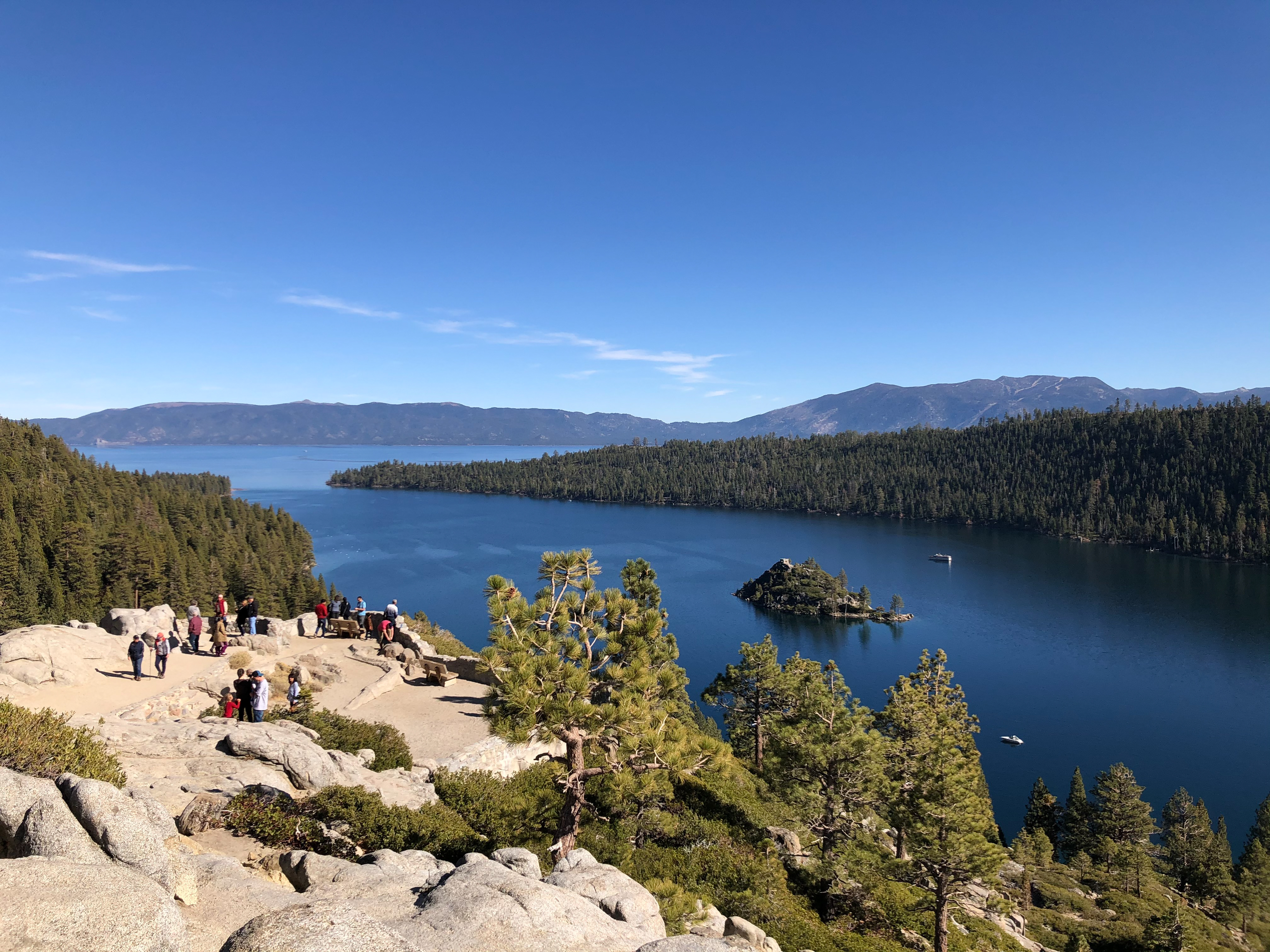
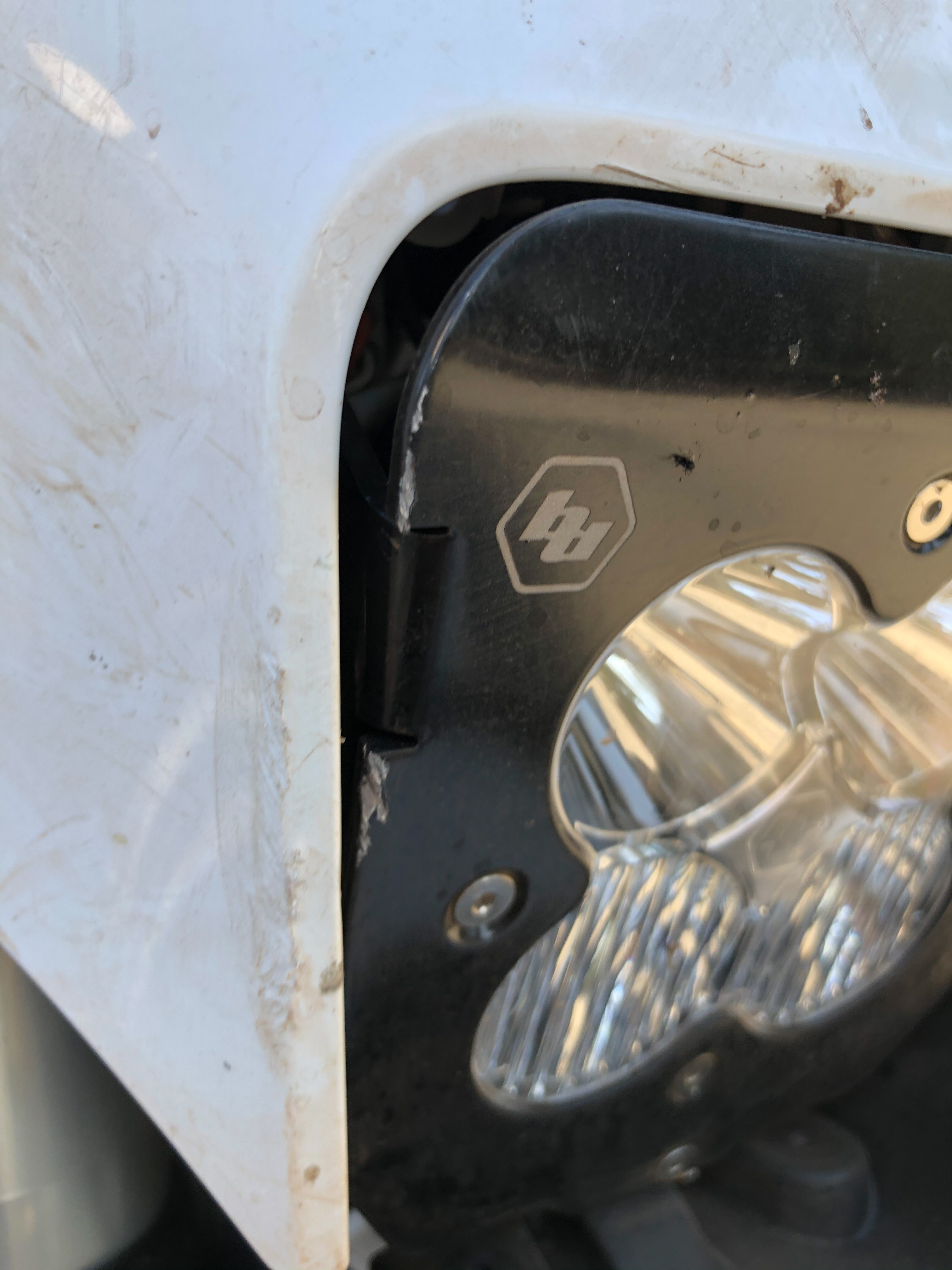
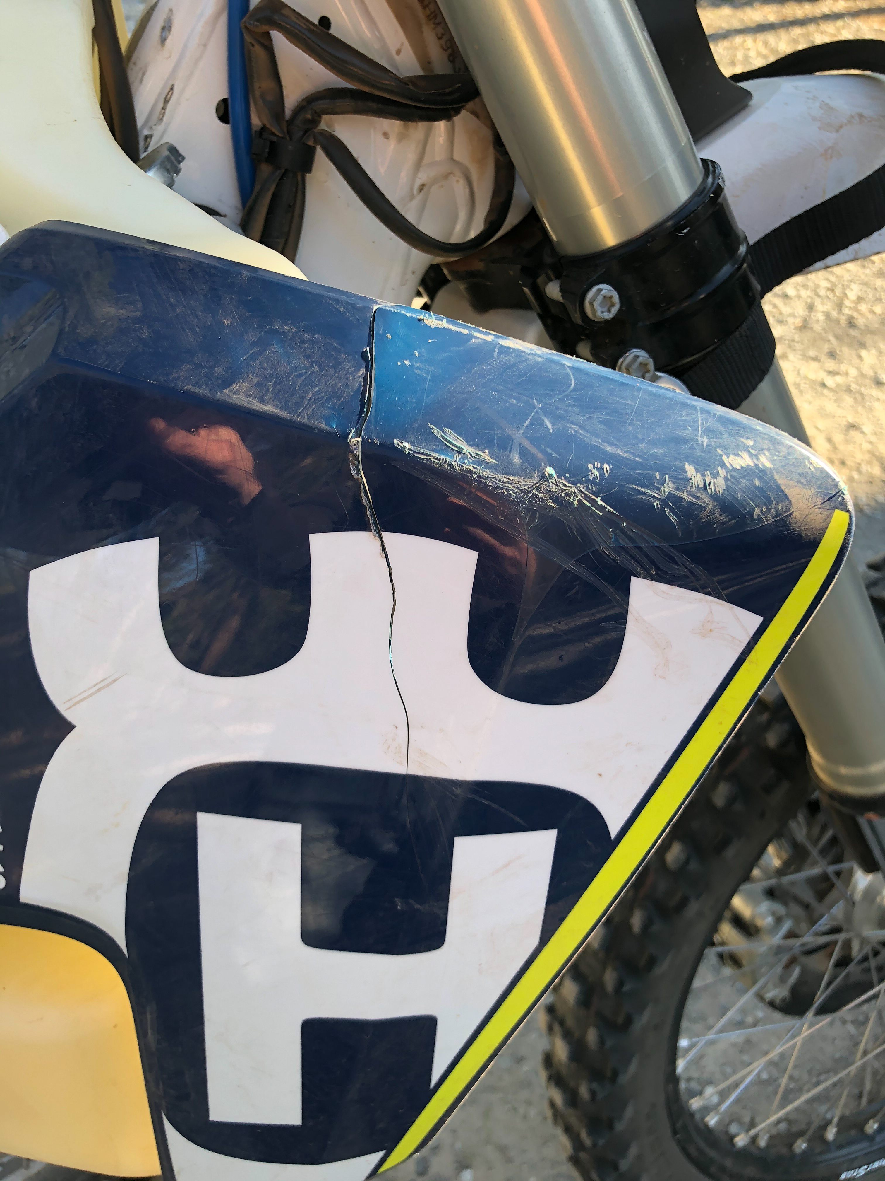
Tucker and I head to Airport Flat Campground as a staging area to ride the Rubicon. From our little research we hear that it’s around 25 miles and some guy did it on a 500 EXC is 2 hrs. I was hoping we could ride it there and back in one day. I sorely underestimated the trail. It was very challenging but more exhausting. 26 miles almost entirely of rocks. But a surprising amount of fun as there were some pretty technical sections with stairs and drops and ledges that were very fun. In the end Tucker and I did pretty well, each only getting stuck and needing a push in a couple of spots and only 1 tip over per. My tip over came immediately at the beginning…40 degrees and not warmed up and fell almost immediately right on a protruding rock which did an unnecessary amount of damage to my 450. In the end it took us 4 hrs to get through it, mostly because we need to take lots of breaks to rest our forearms and catch our breath as we were saving some energy for the ride back through. Ultimately, we’d only have 5 hrs of light back to the trucks and we needed a break for lunch. We thought that was cutting it a little too close if there were any sorts of problems so we circled around via Highway 50.


0 comments:
Post a Comment