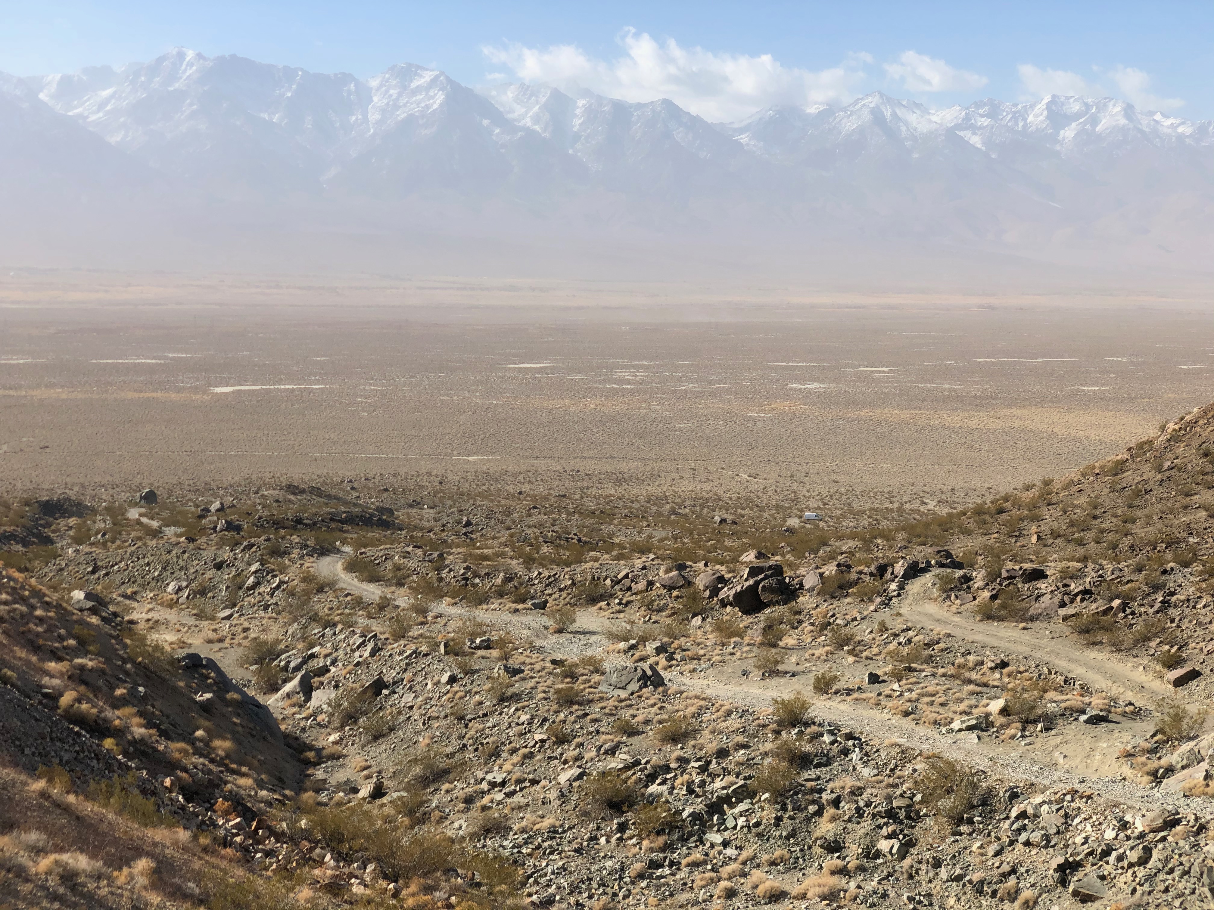
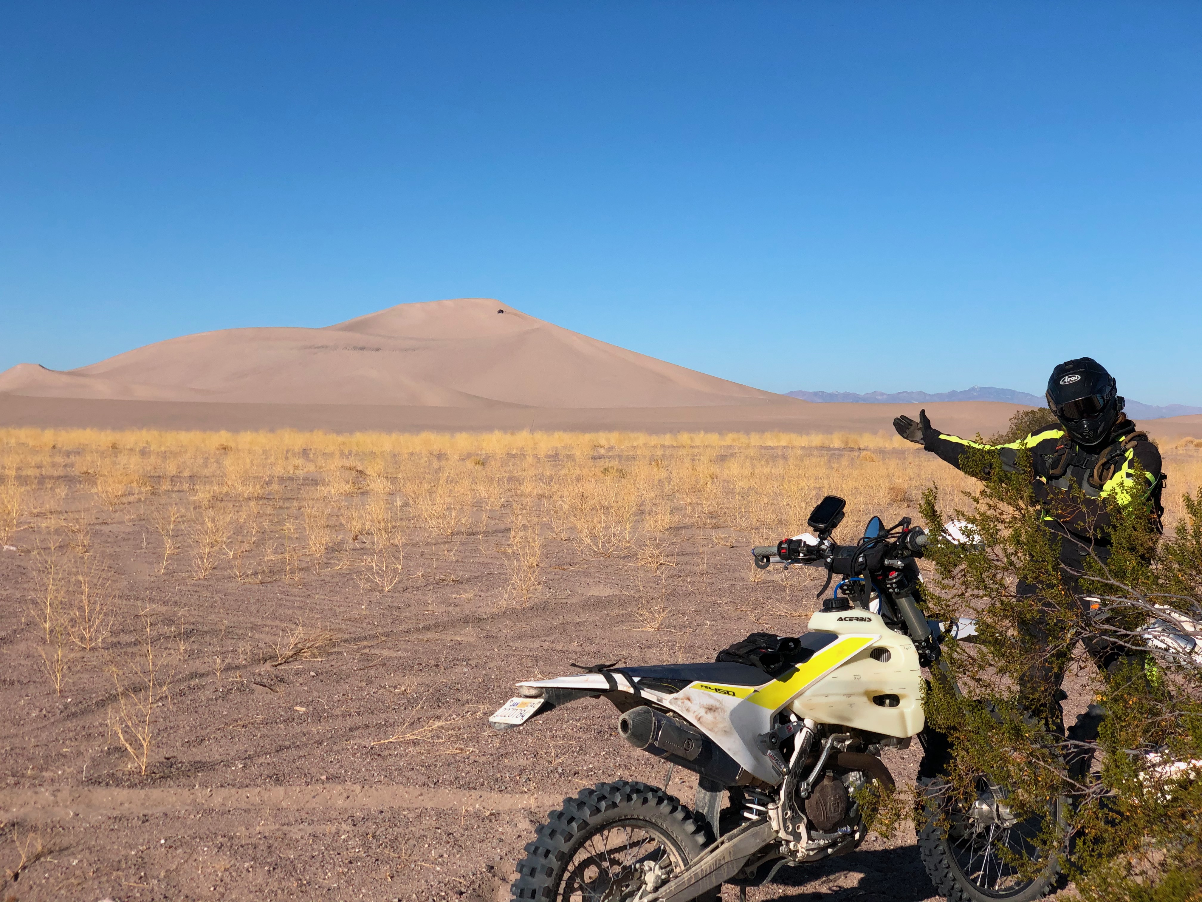
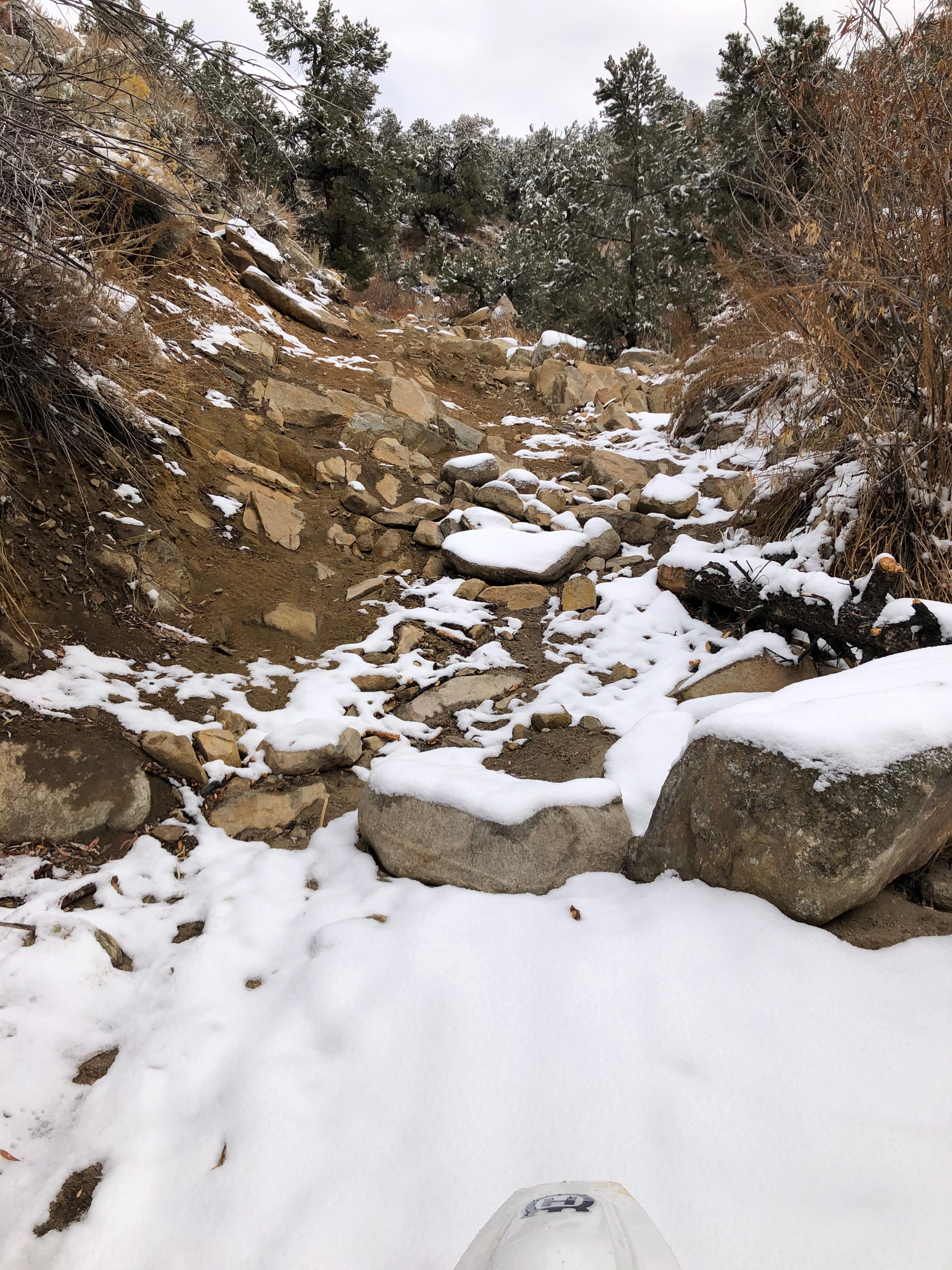
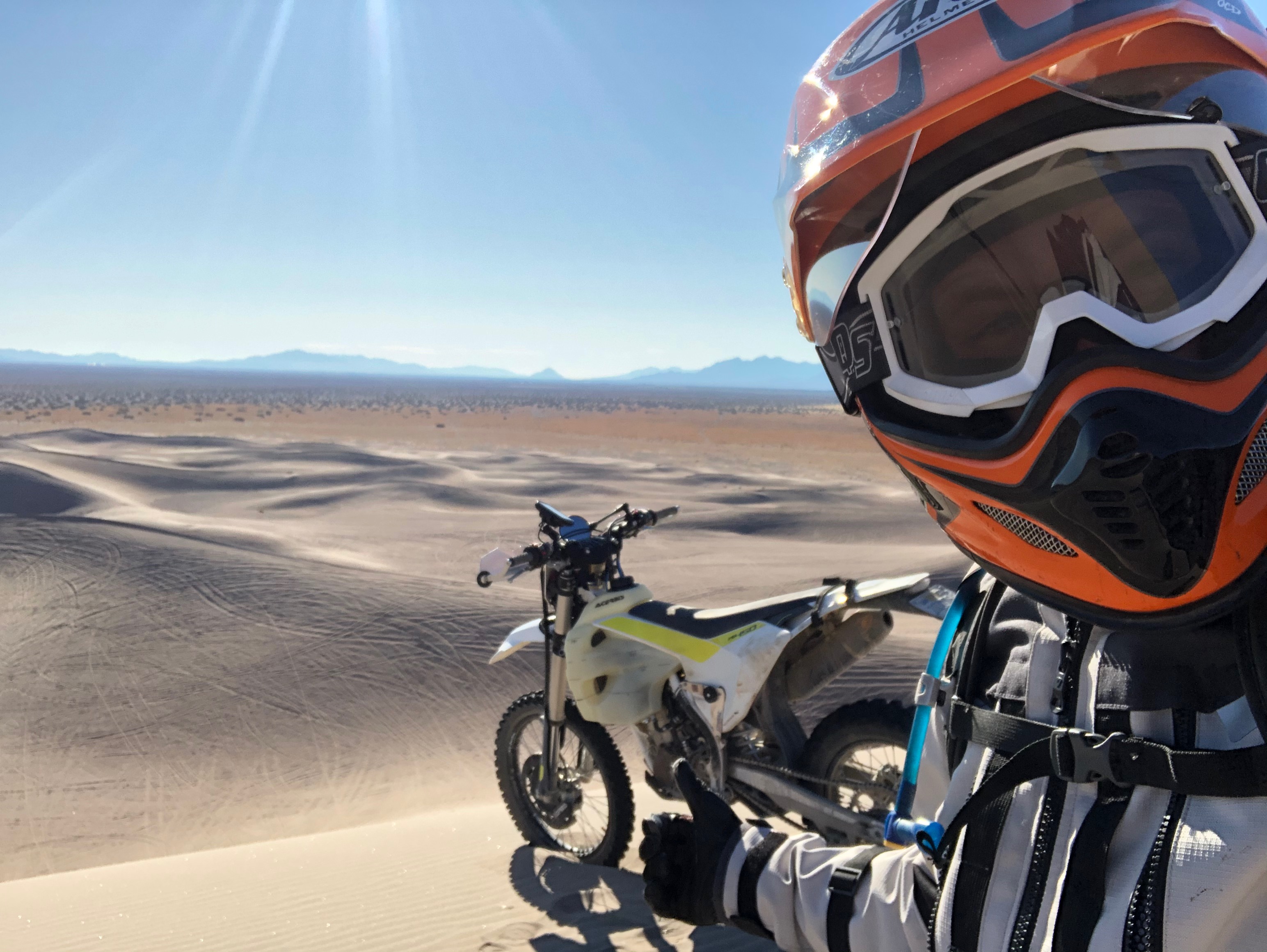
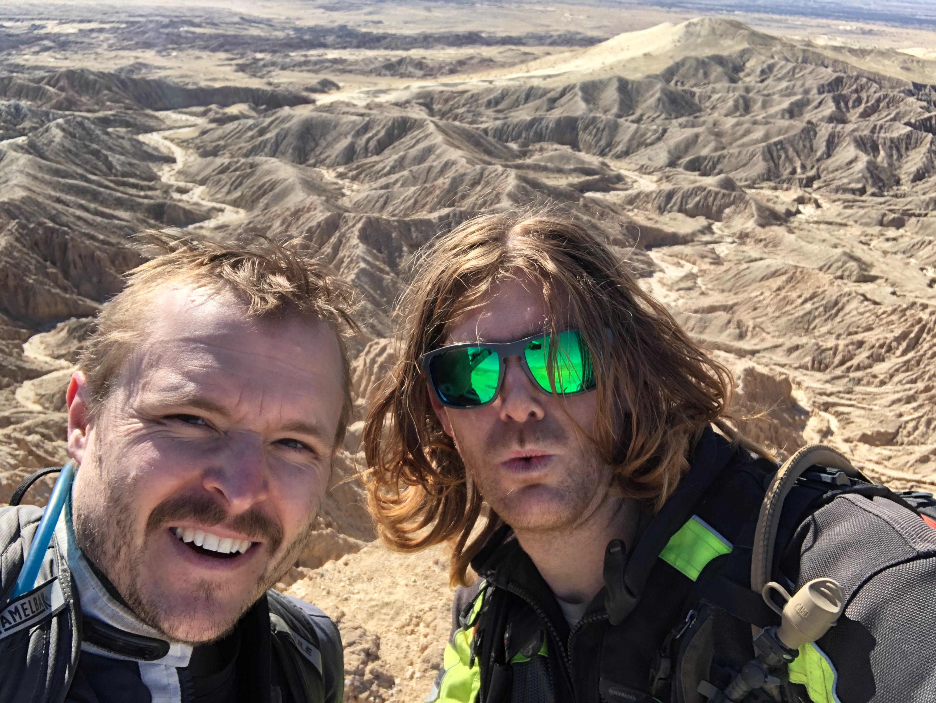
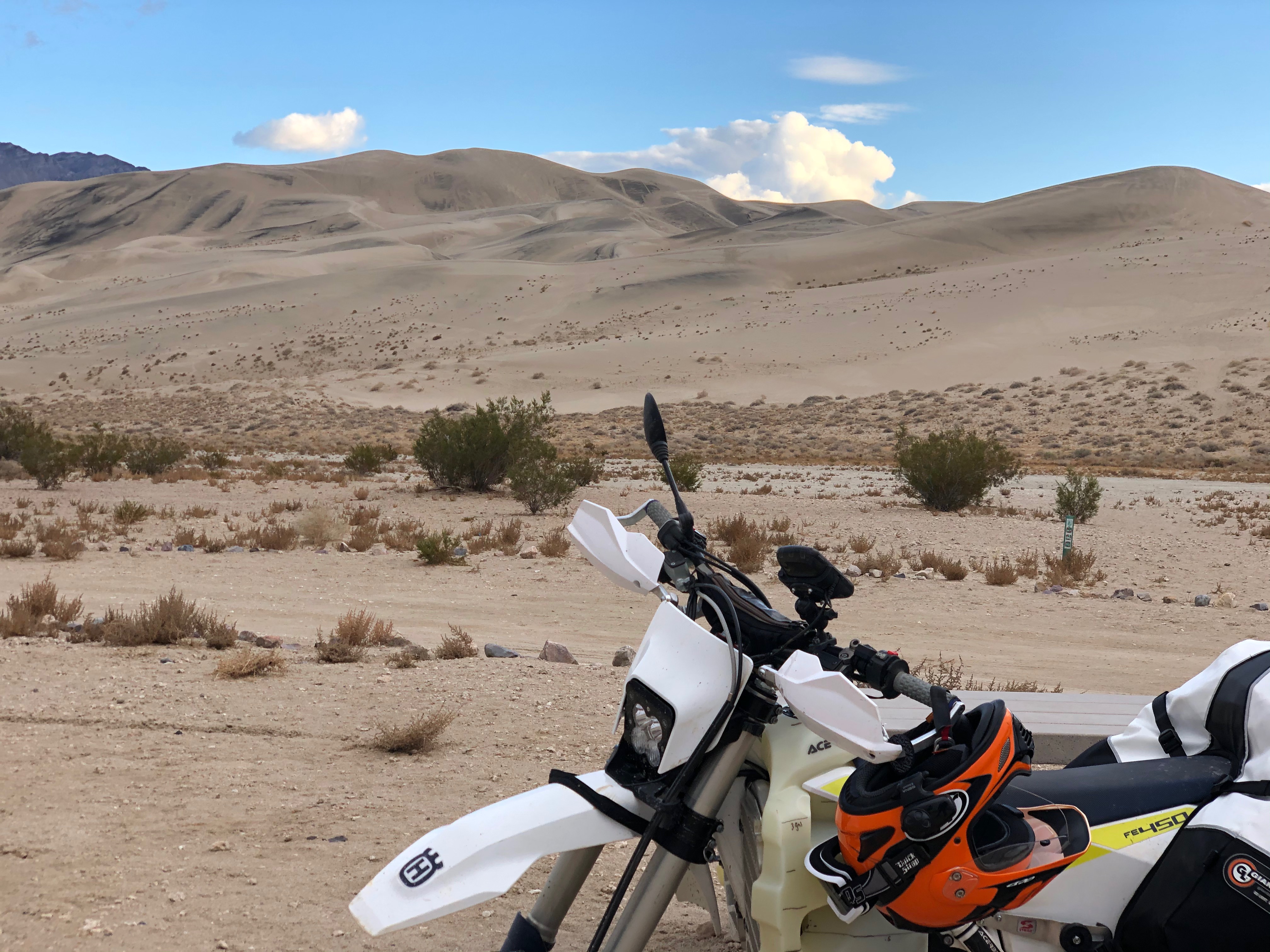
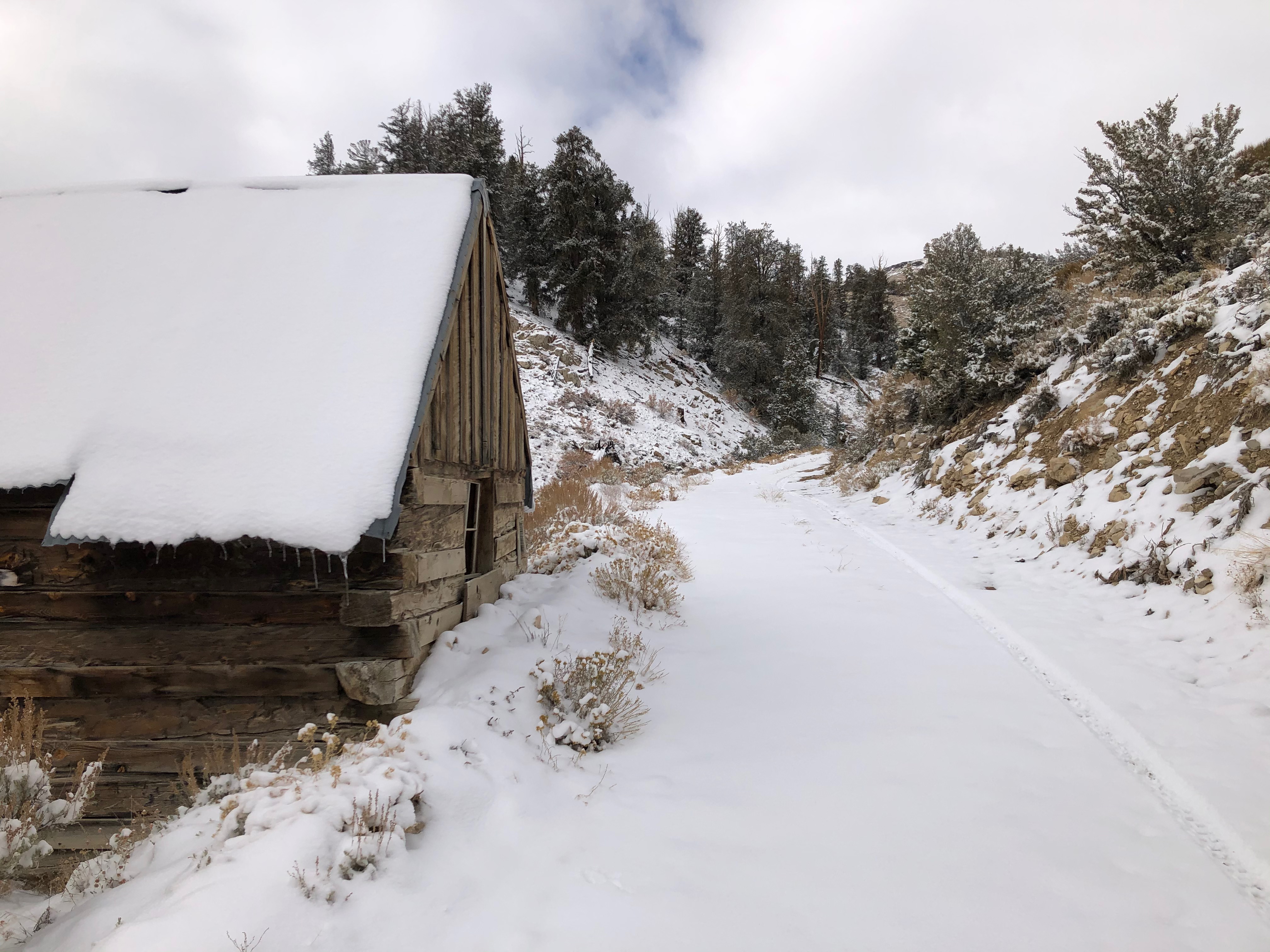
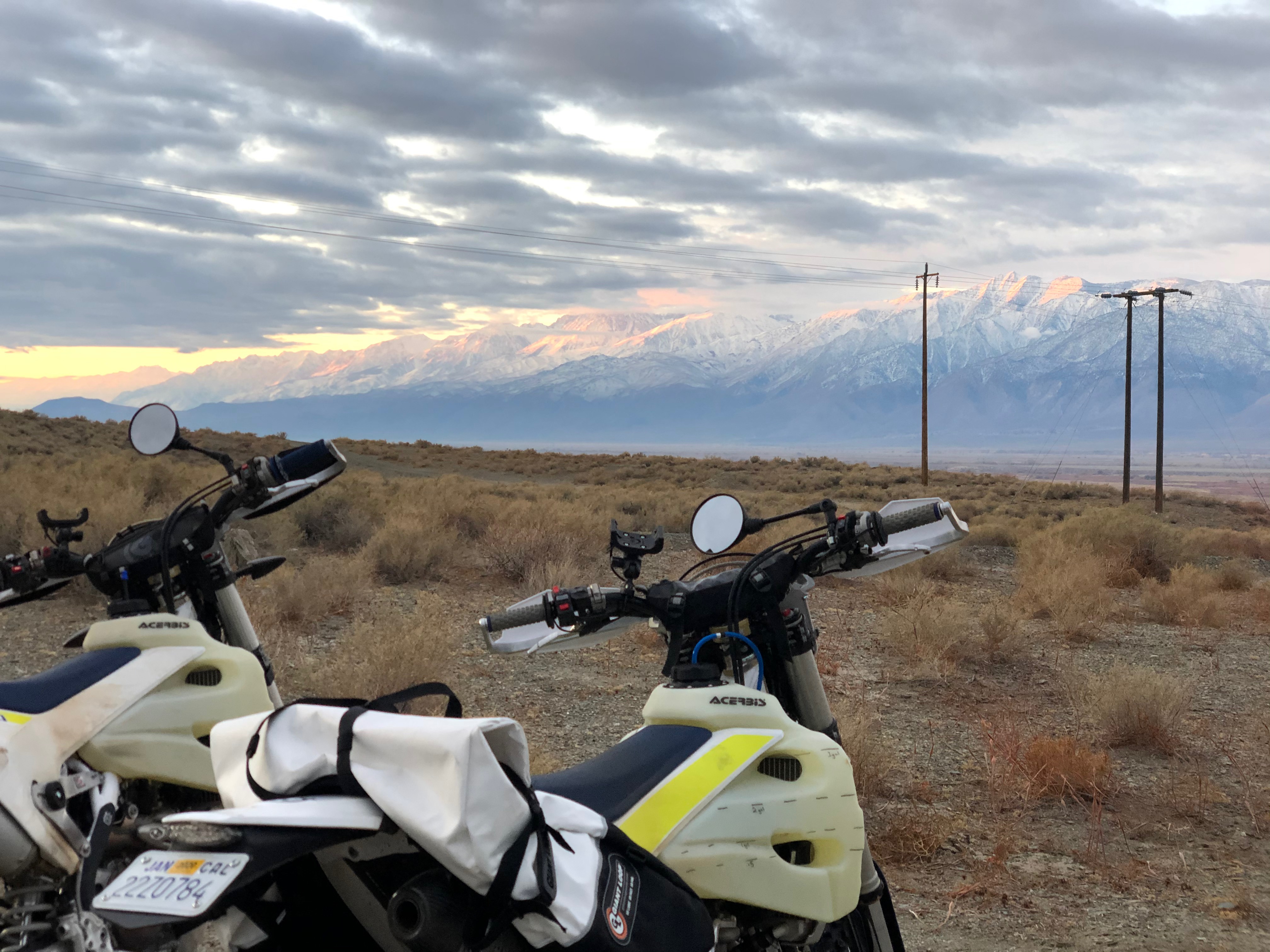
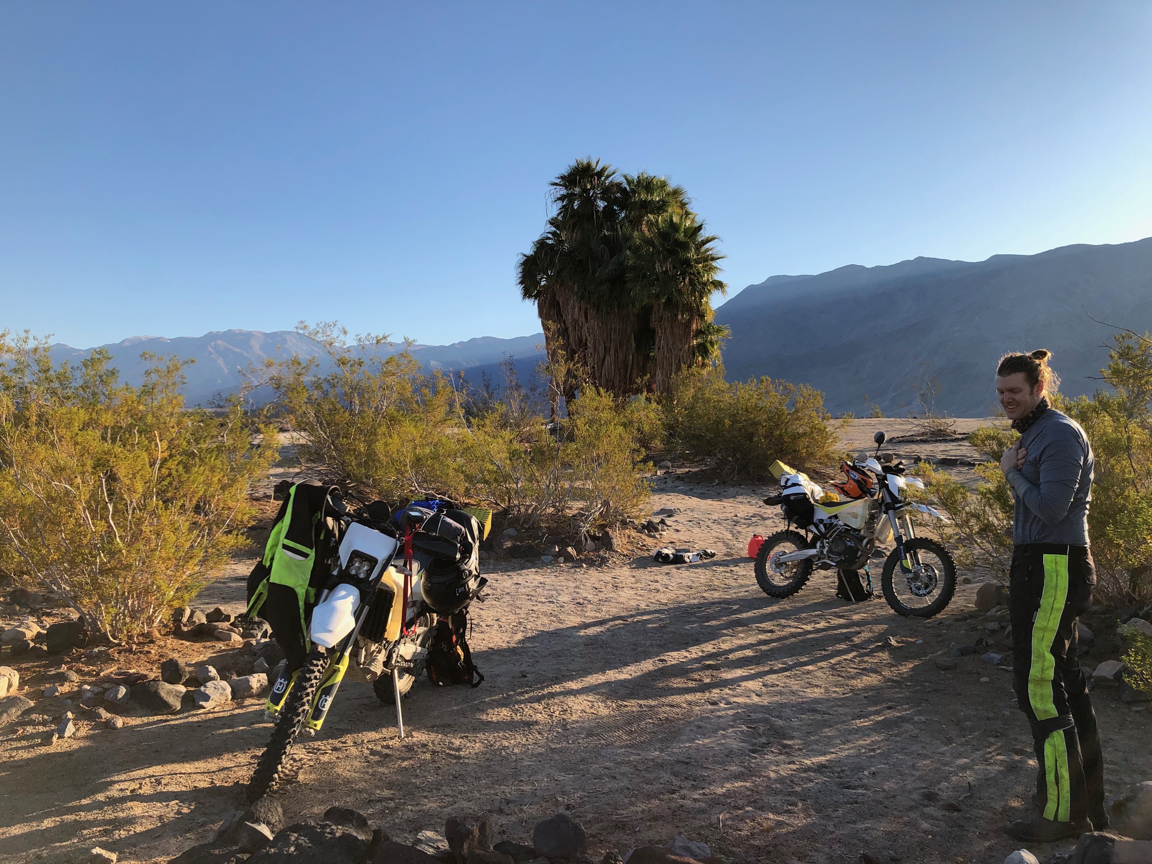
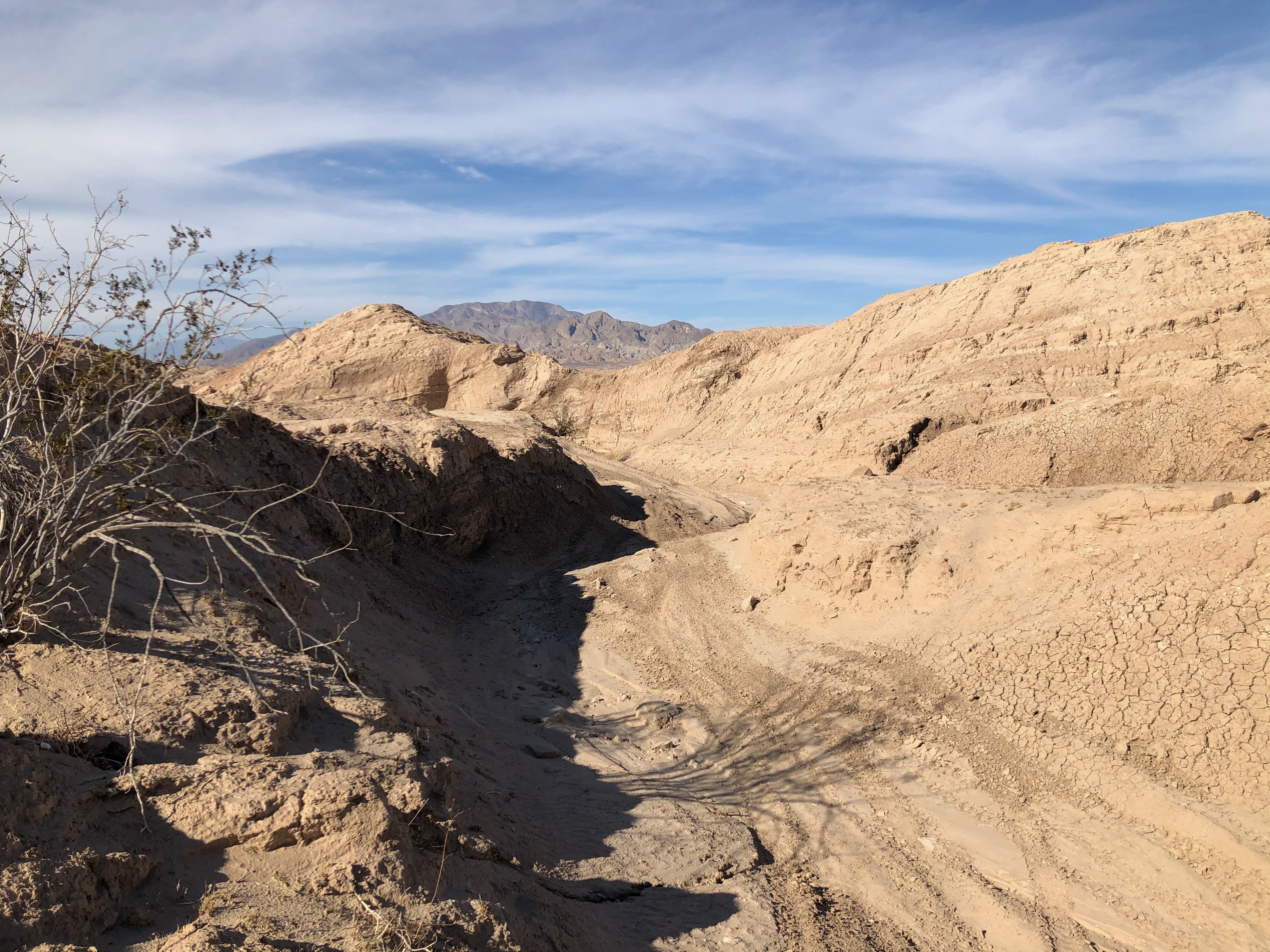
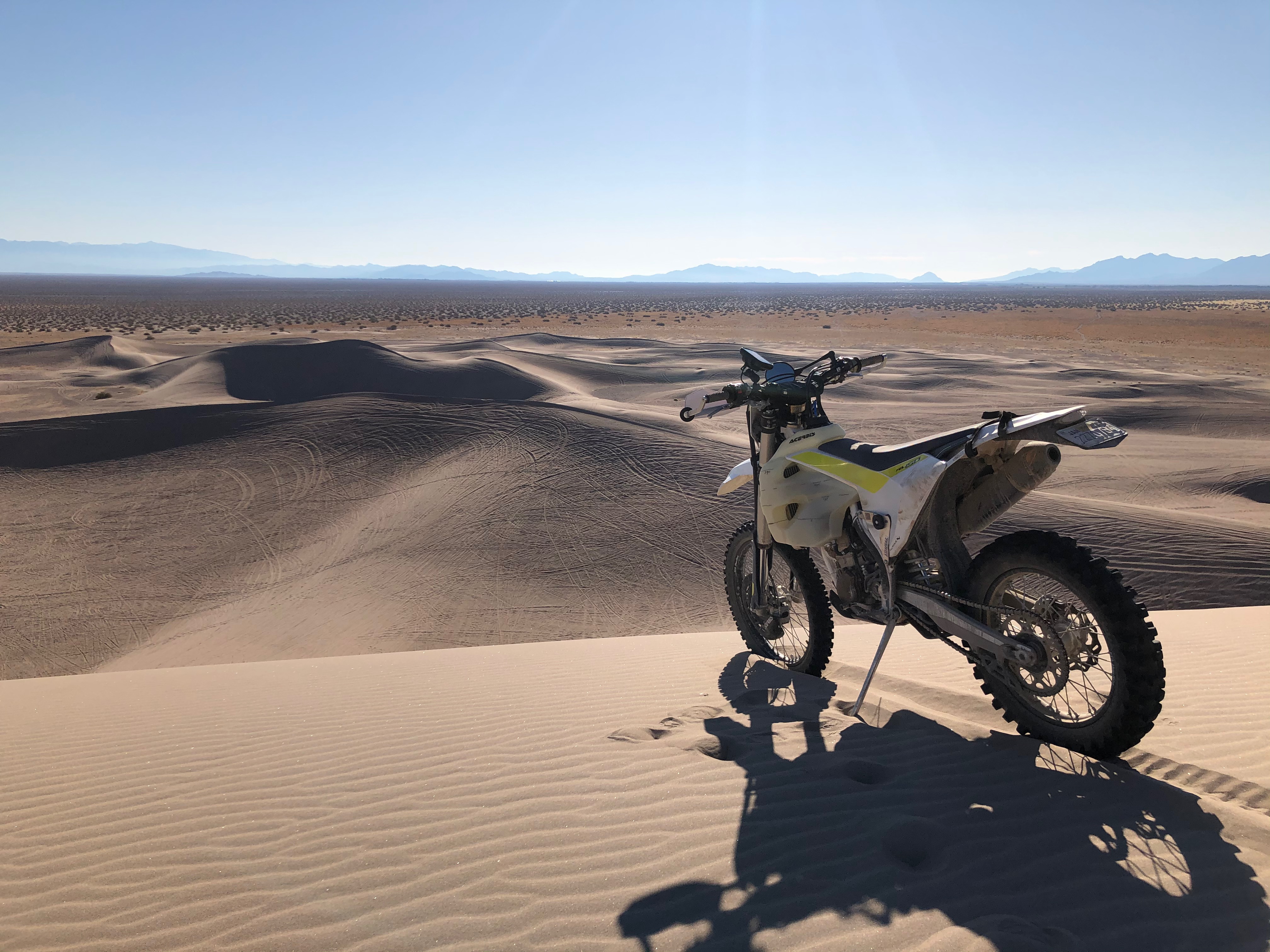
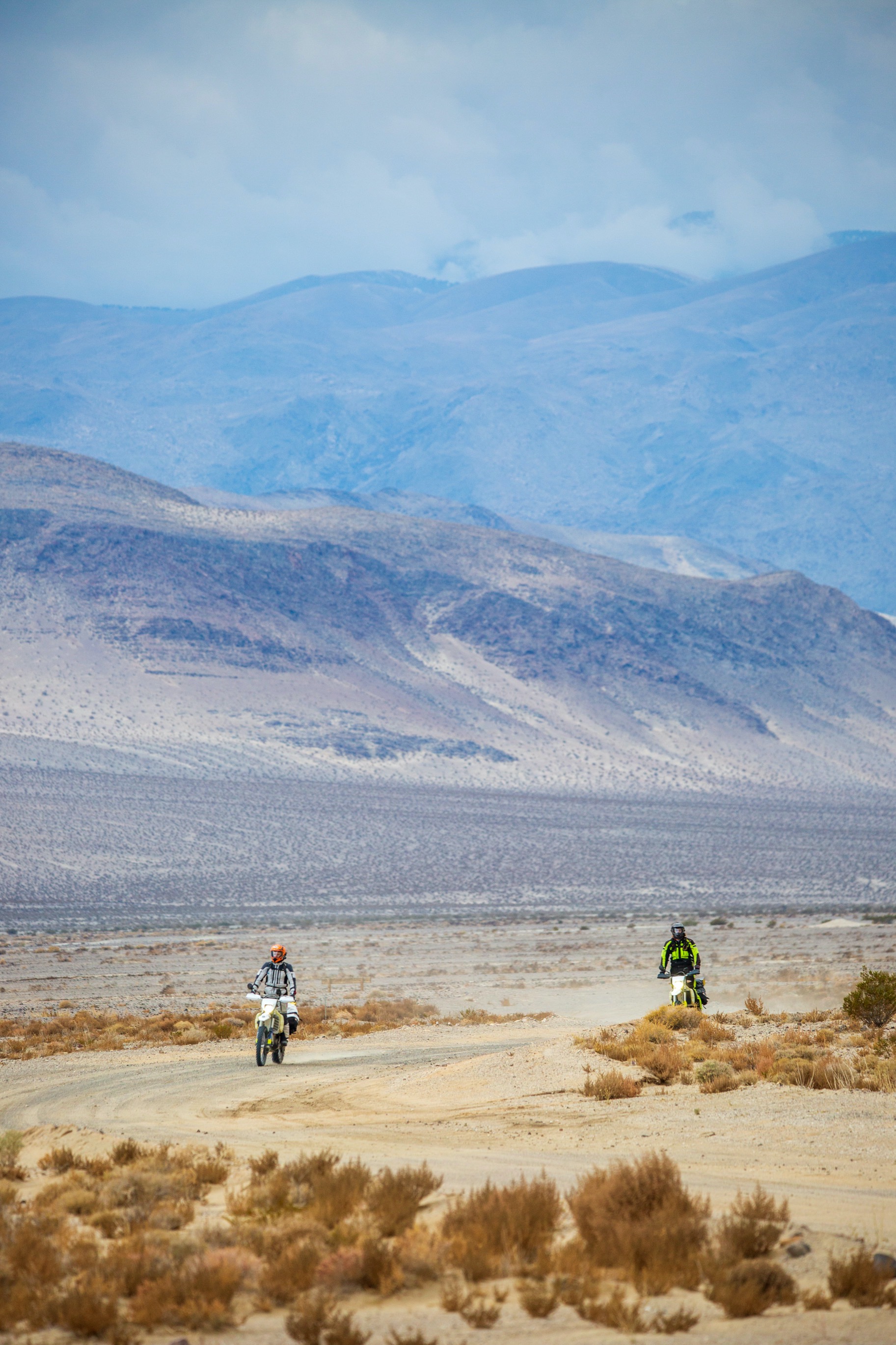
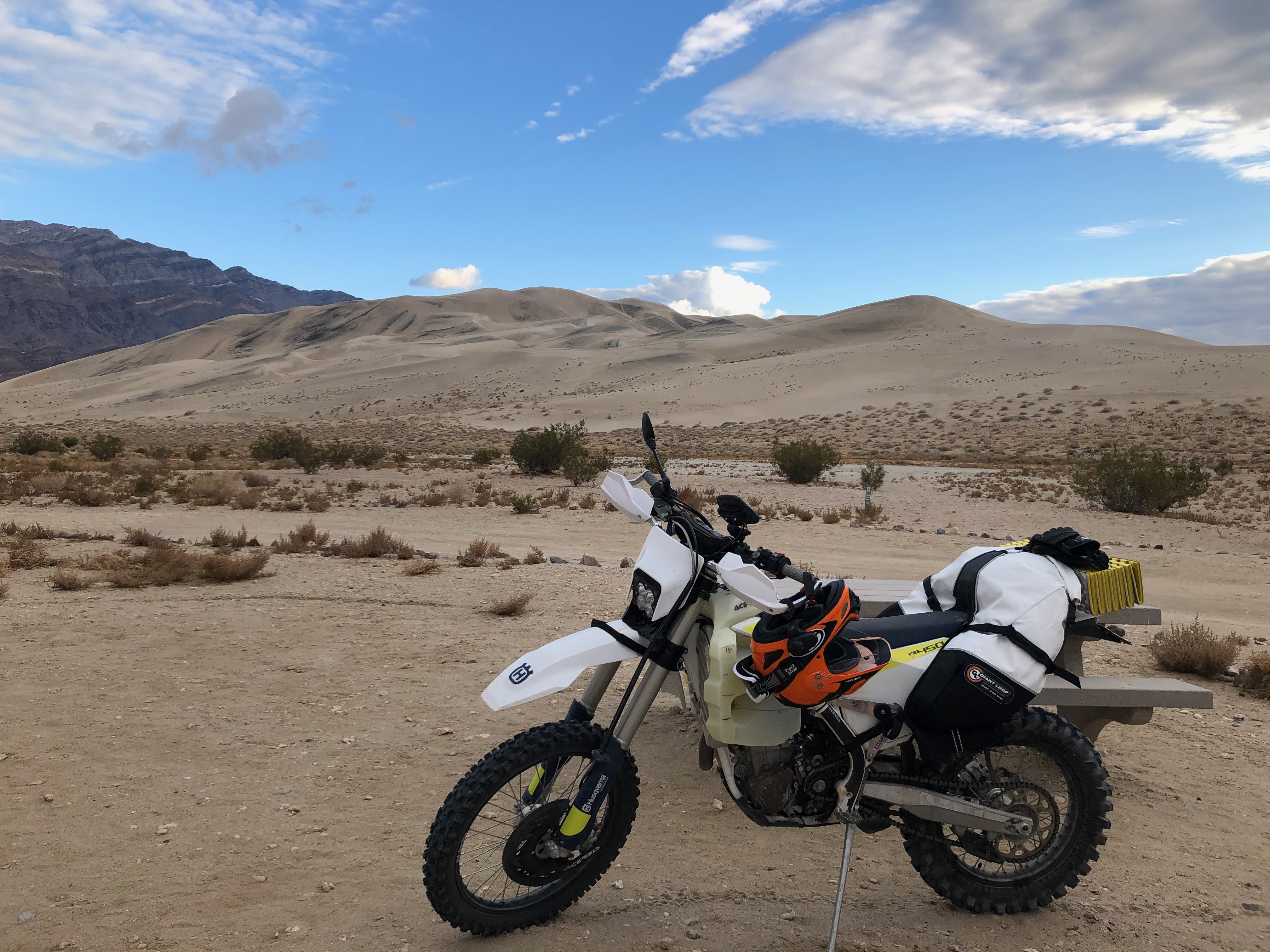
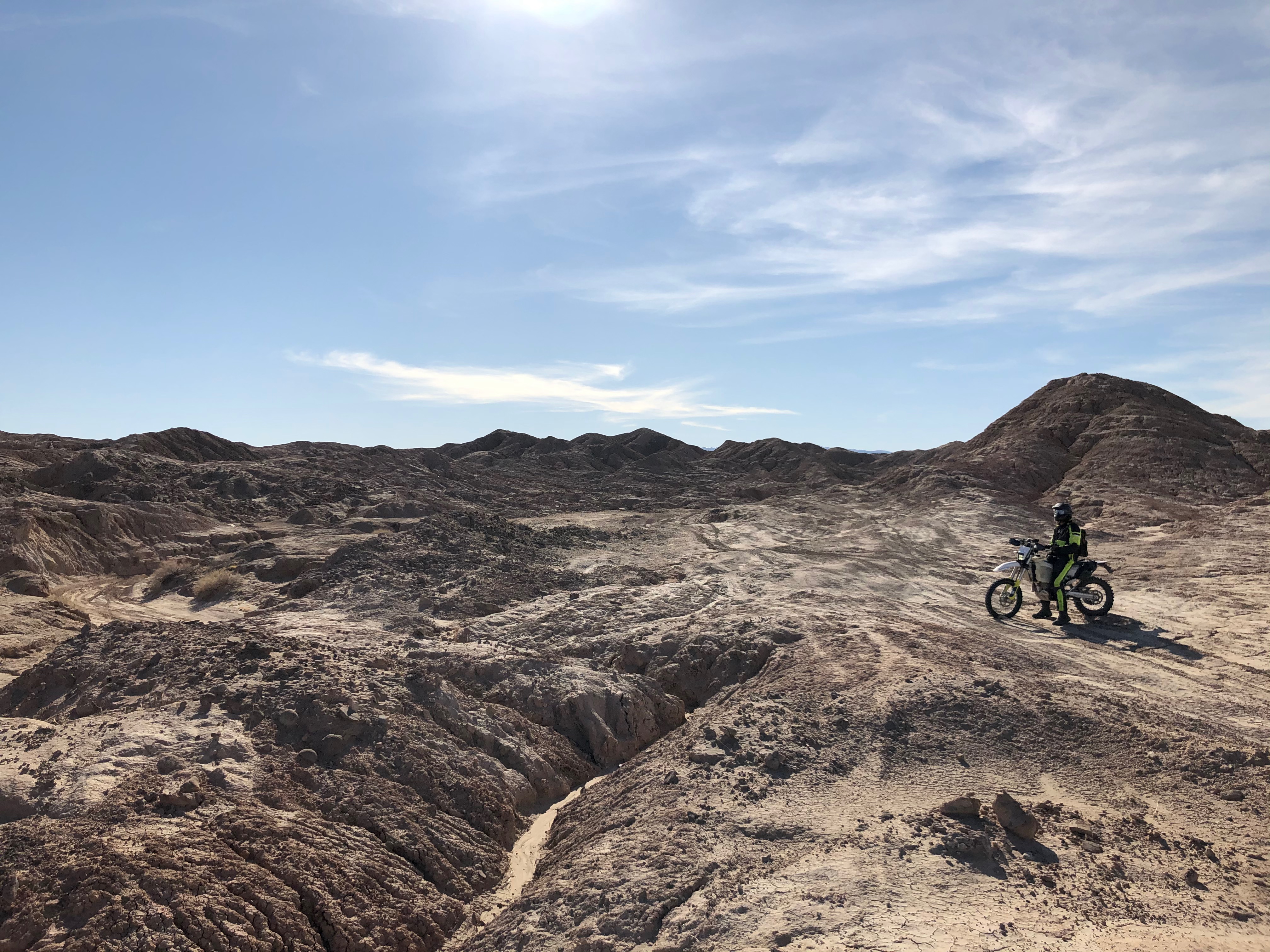
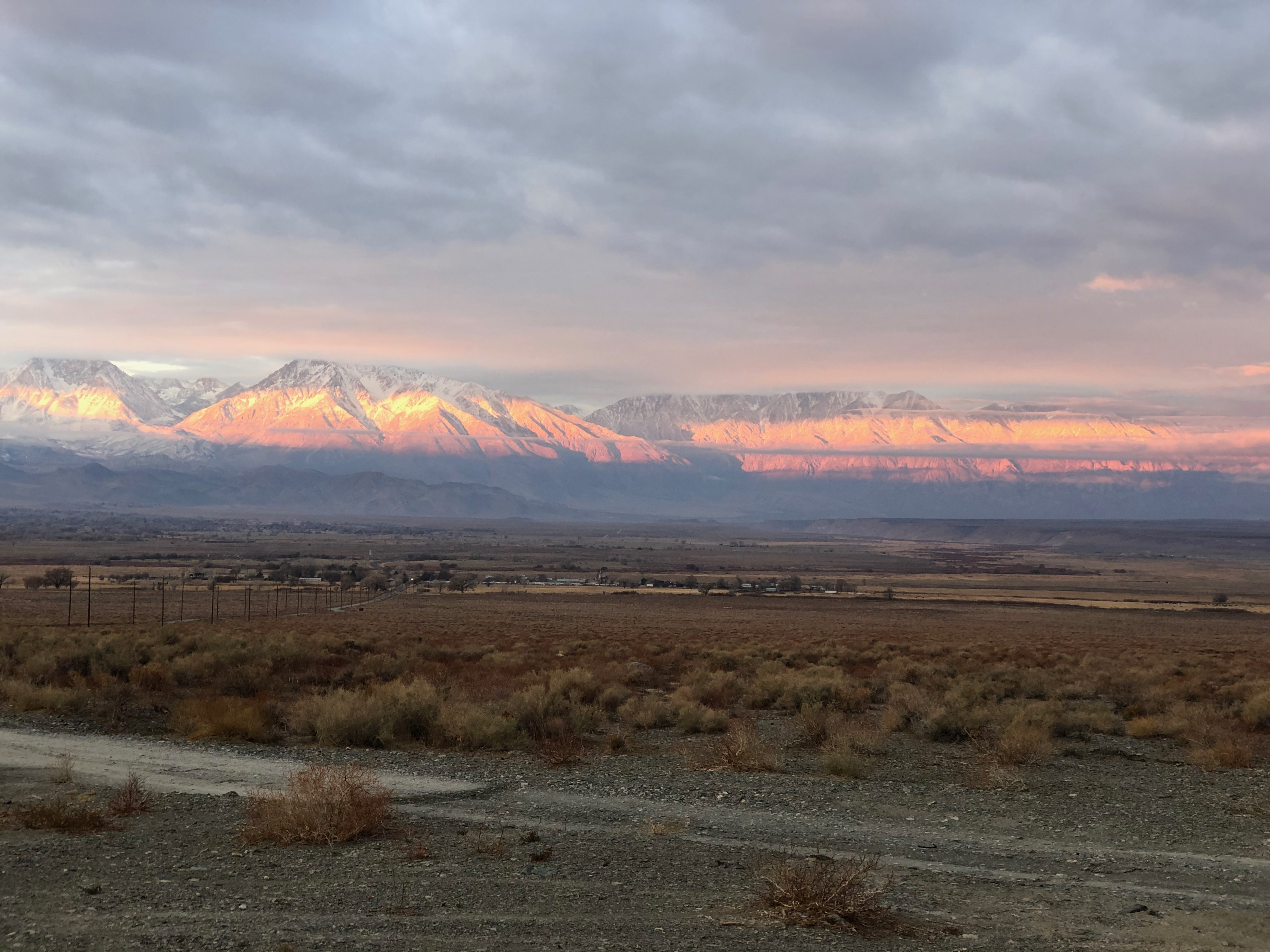
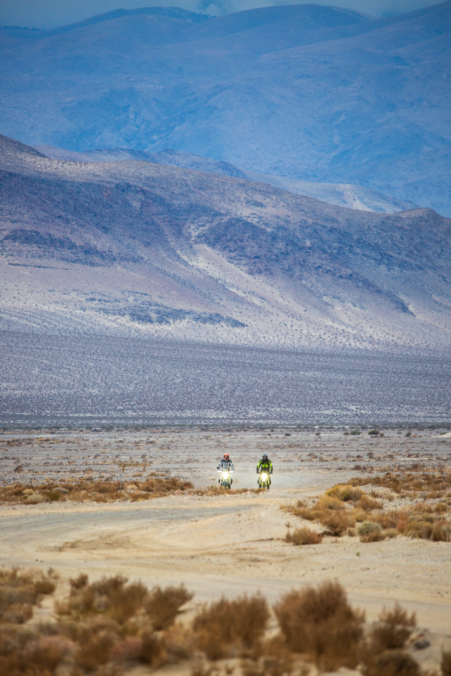
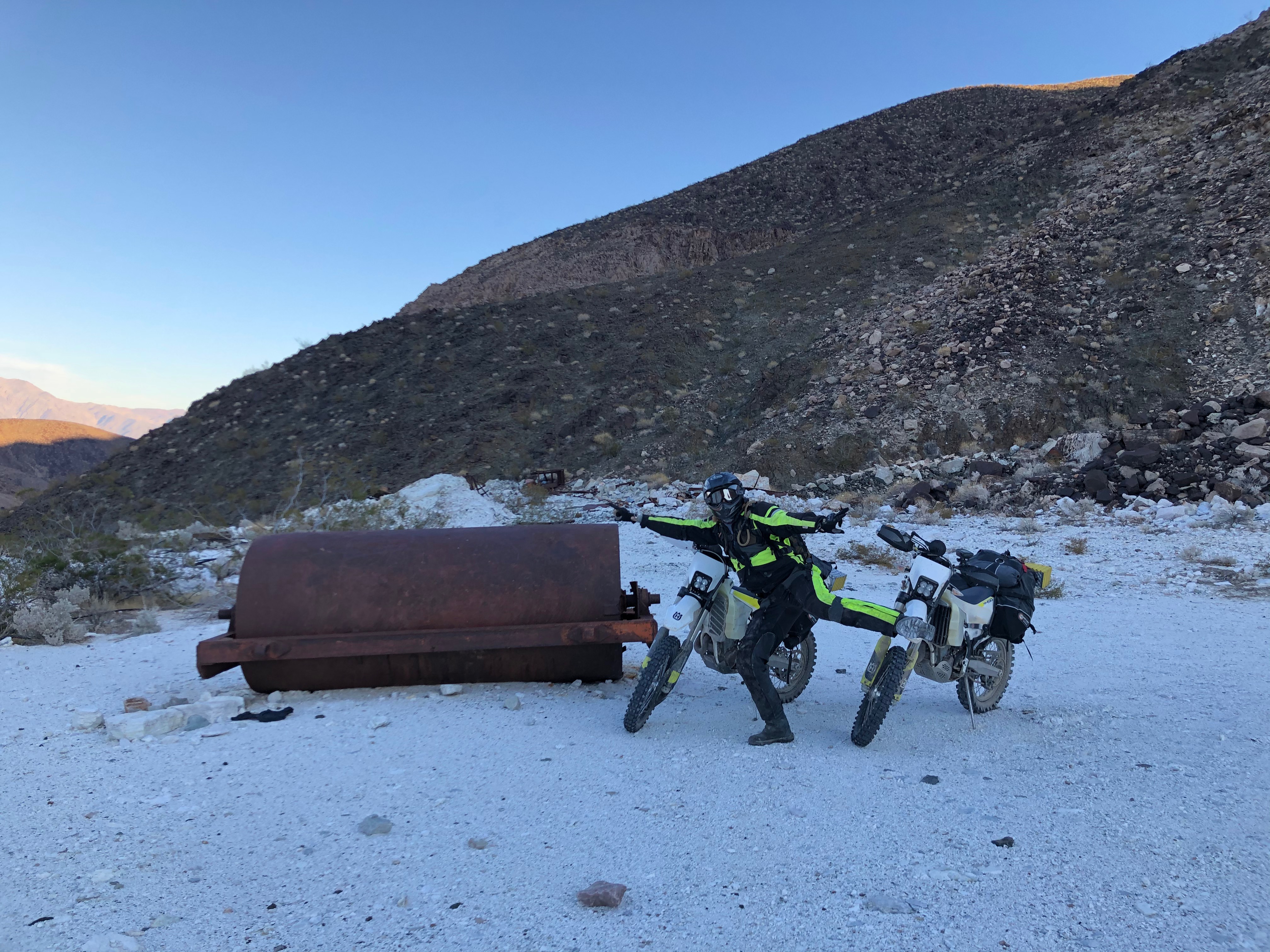
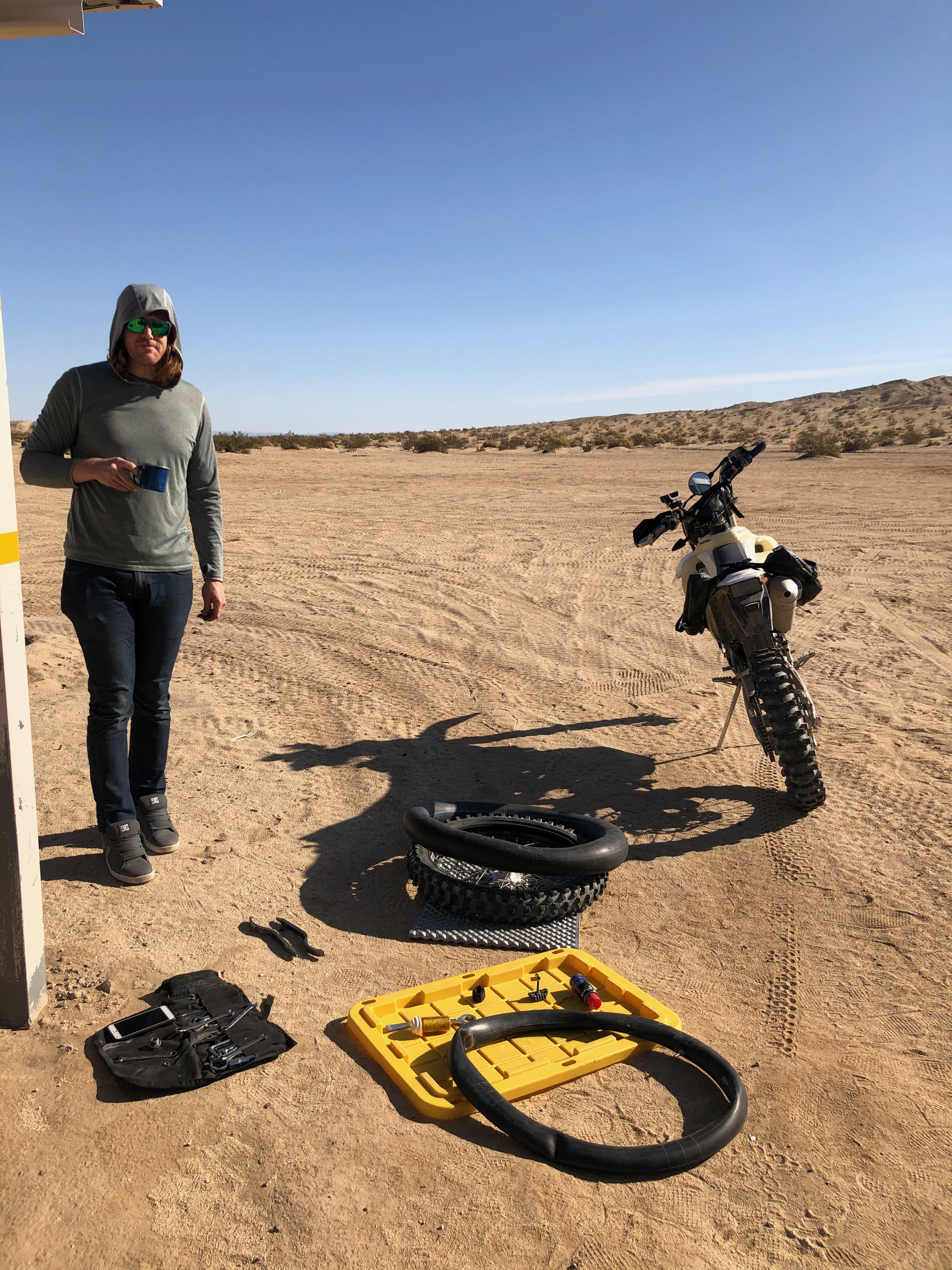
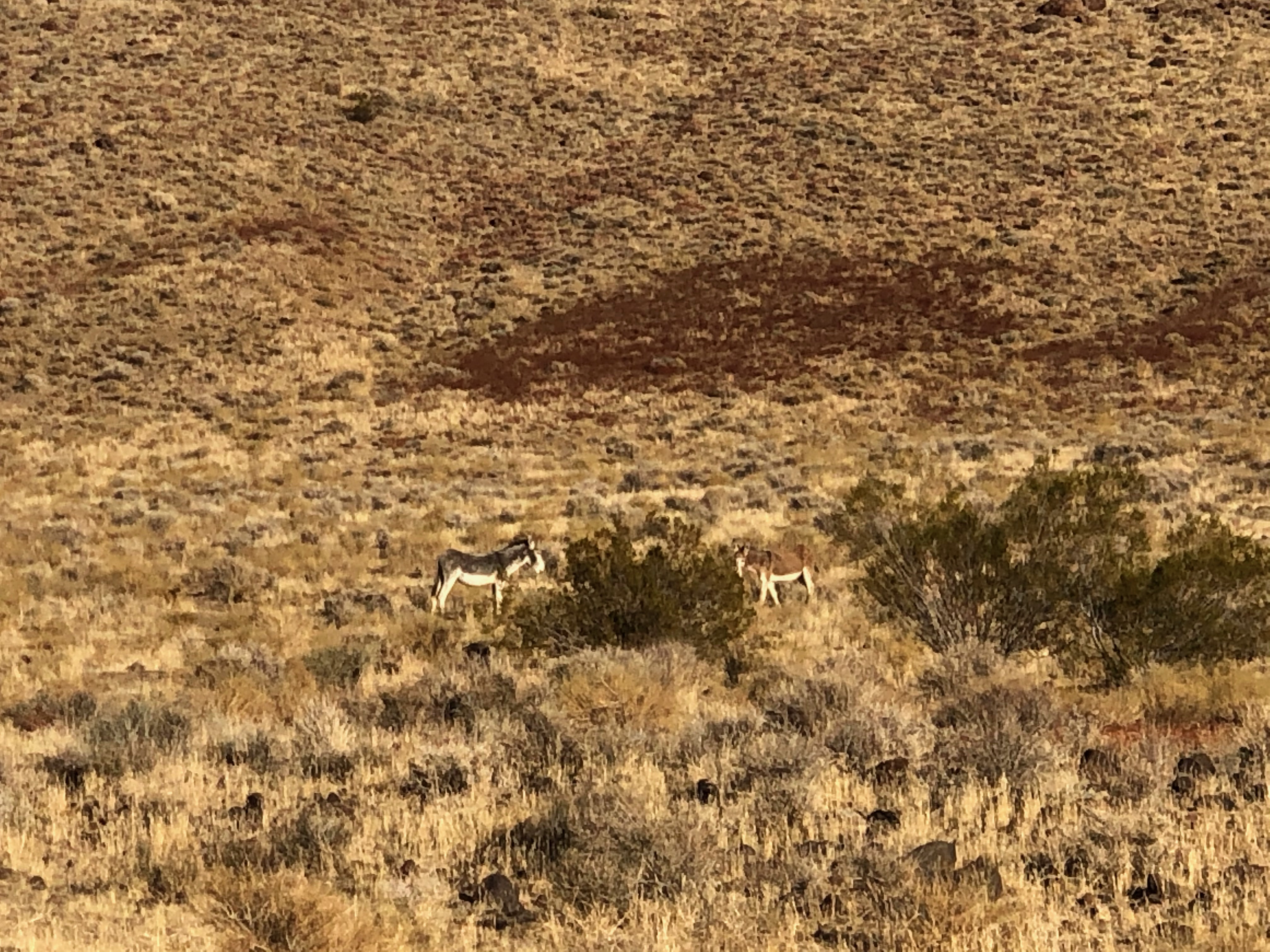
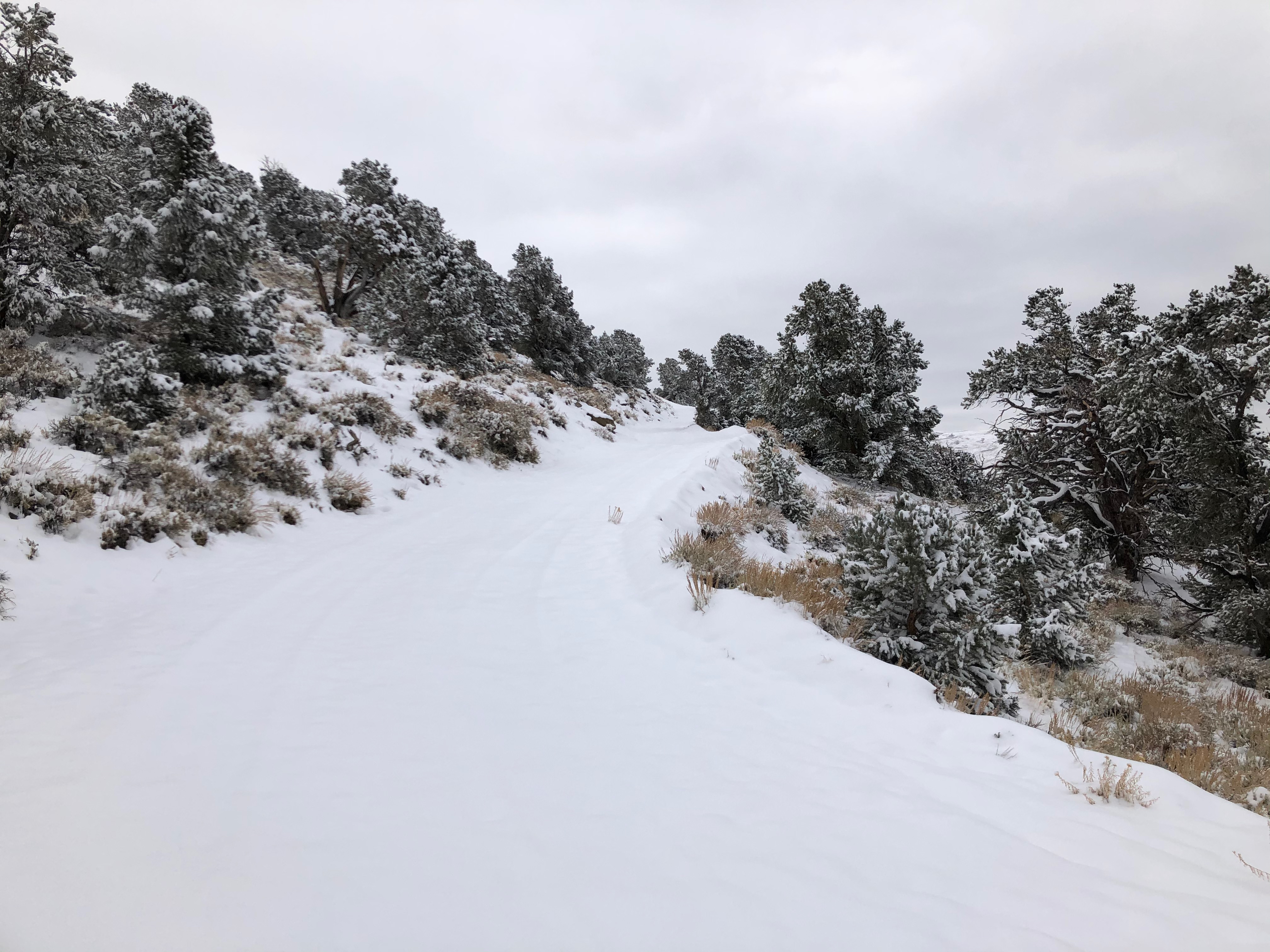
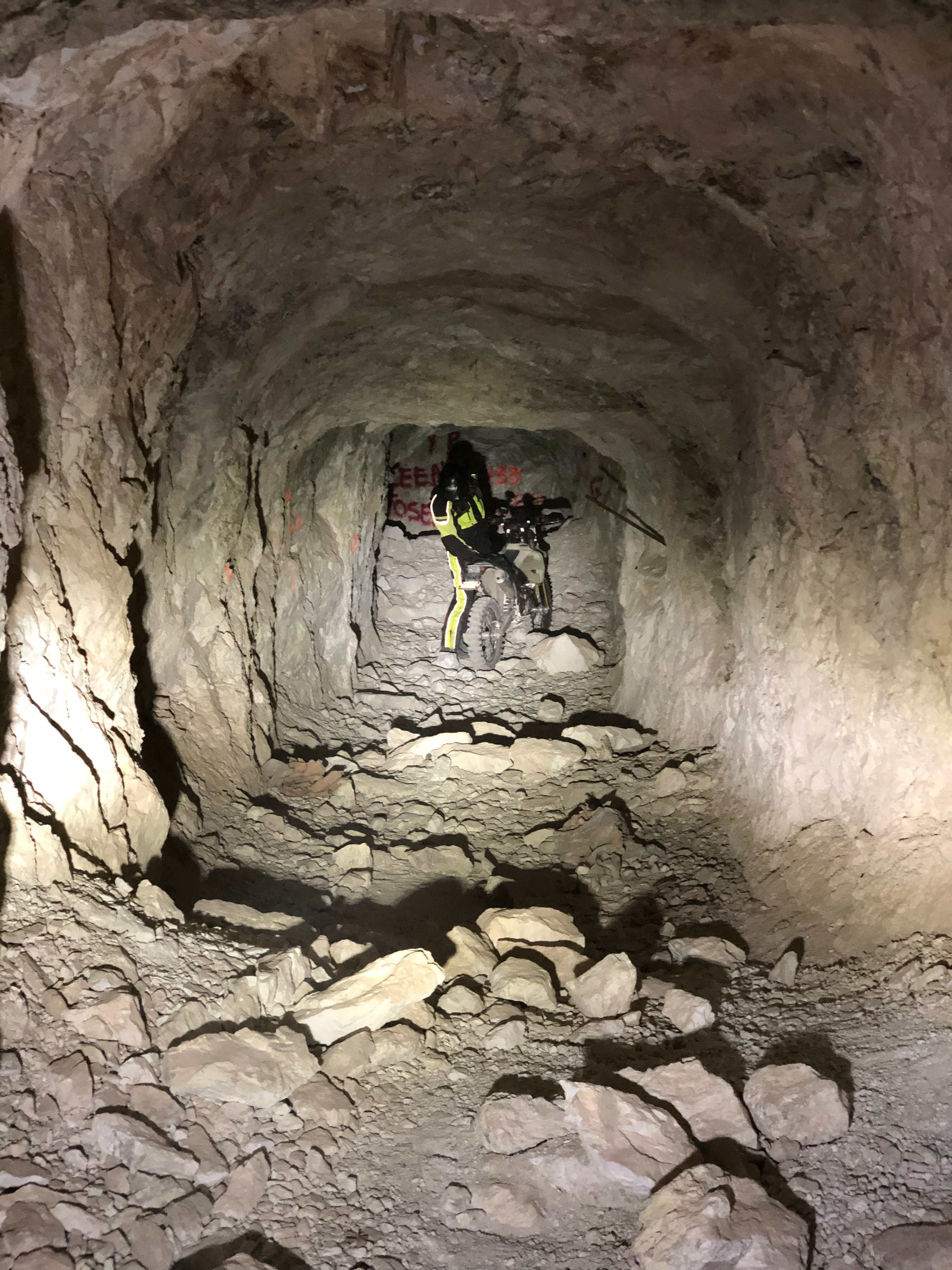
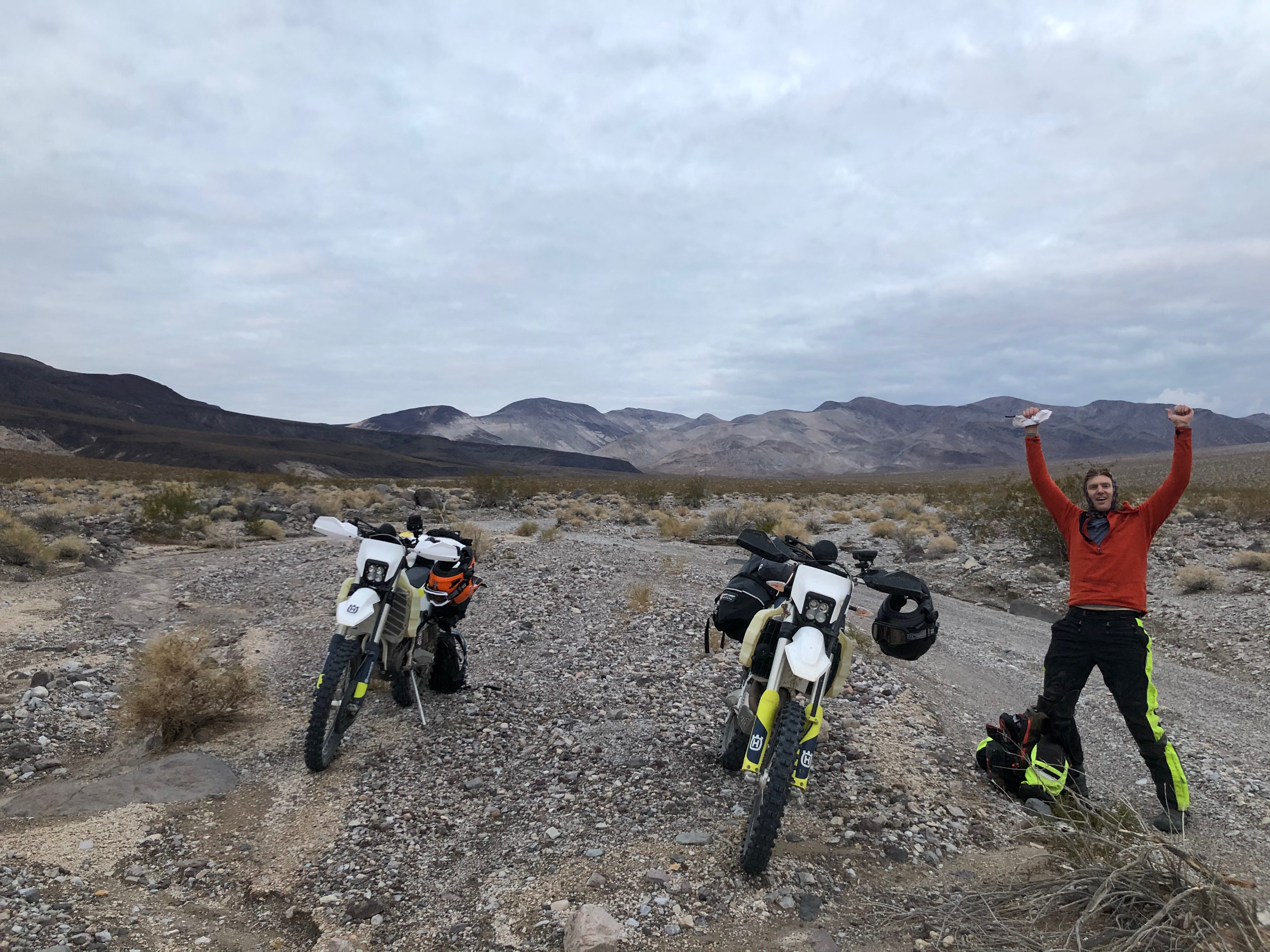
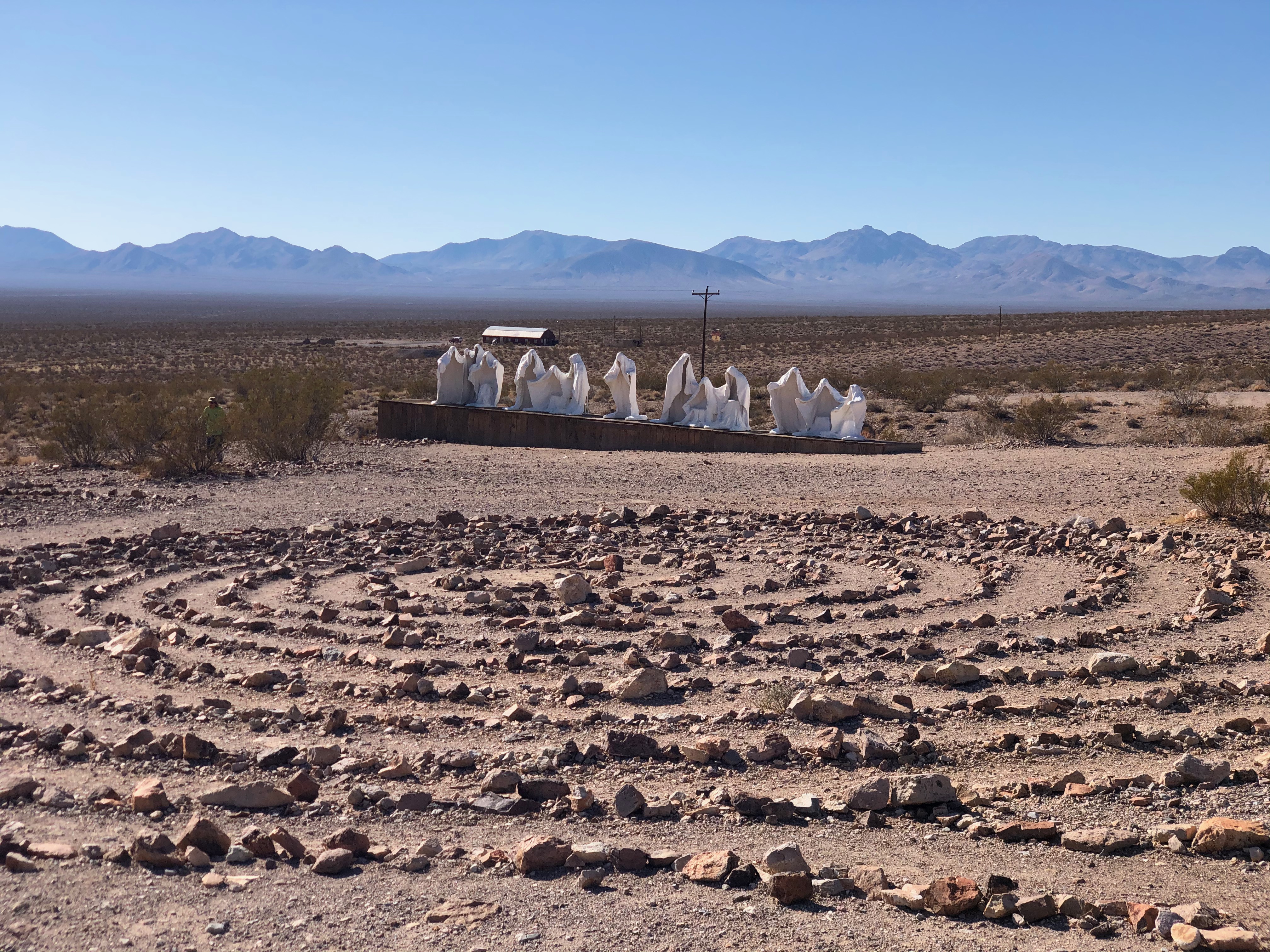
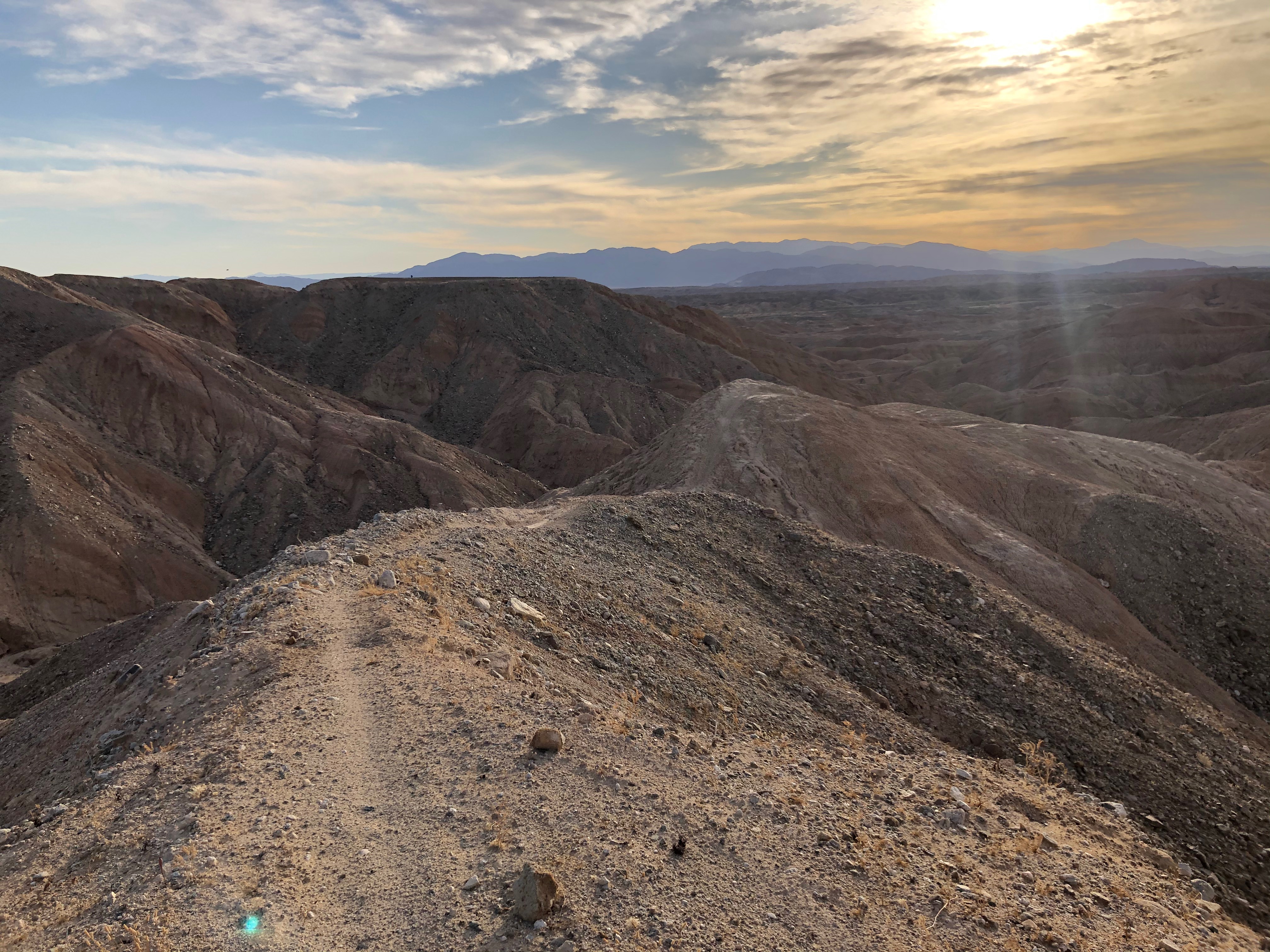
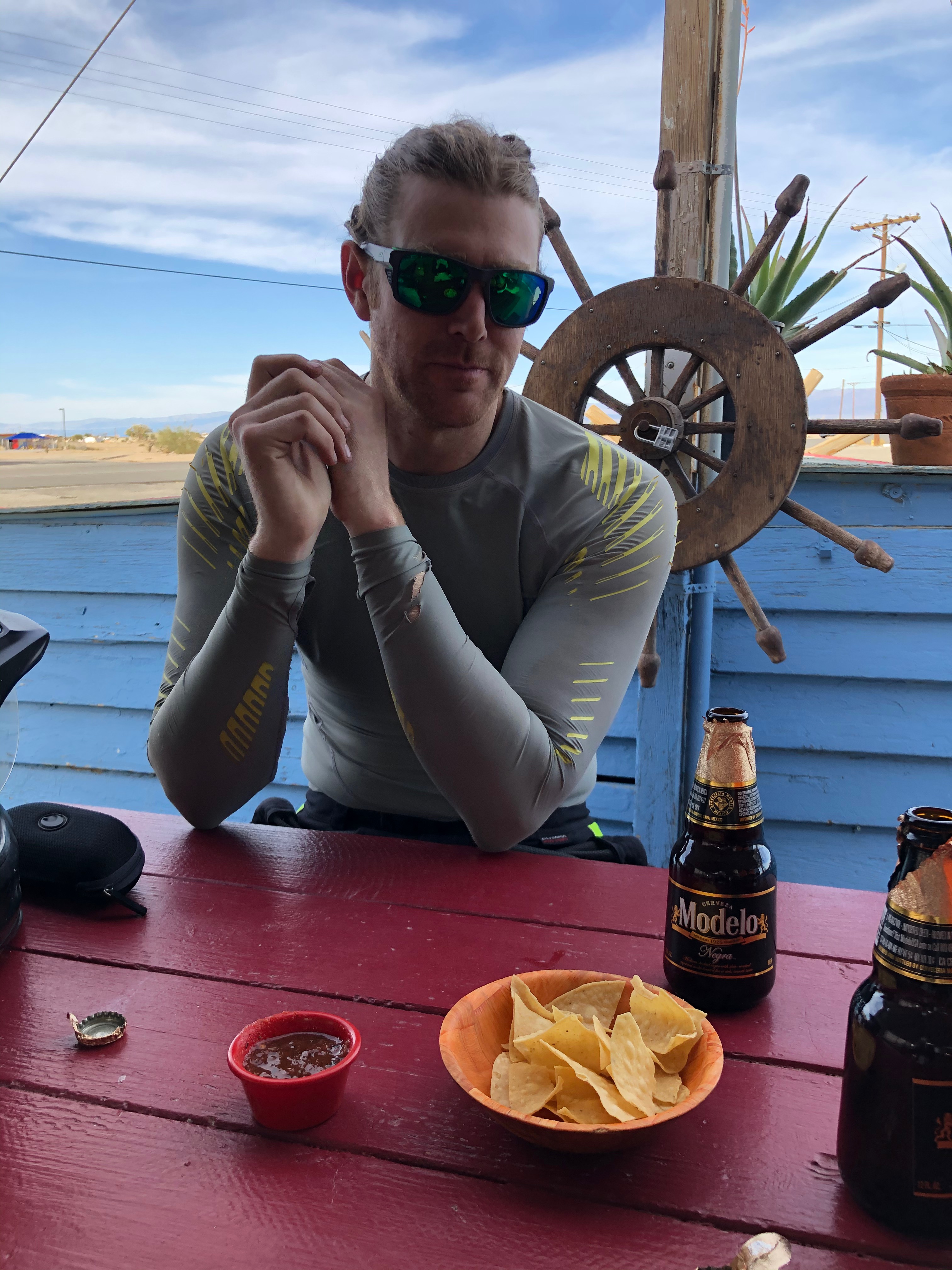
We started camping off of Silver Canyon road night before riding over White Mountain in the snow. Followed by a 3 day blitzkrieg of Death Valley from Eureka Dunes to Saline Valley Warm Springs through Steel Pass. Then through the South Pass to Panamint for gas and water before heading to Ballarat and then through Goler Wash to Furnace Creek for gas. Tucker's front brake failed in the middle of the Goler but we were able to buy some brake fluid in Furnace Creek and fix them. We then headed through Echo Canyon to Amargosa where we stayed the night at a casino motel. Then next day we headed to Big Dune for some sand dune fun. Over to Beatty for gas then to Rhyolite, Titus Canyon, Race Track, Lippincott and back to Saline Valley Warm Springs for the night. Out to Big Pine through north pass with crazy winds. We then drove down to Lone Pine to check out the Reward Mine to ride around in the mine shaft. The wind was insane and we originally planned to check out Alabama Hills but with the wind and the cold it didn't seem like a whole lot of fun so after lunch we decided to drive to Ocotillo Wells. However, on the way out of town they were stopping all tall vehicles because of the wind and 395 was shut down for 100's of miles. We convinced them to let us leave the dirt lot where they were making everyone stay so we could head back to town. We cut back through town and down a dirt road along the power lines to 190 to bypass the road block and then headed south east through Death Valley and back south west to pick up 395 after the road block. Our detour was successful and by the time we got to 395 south of the closure the road was still closed! A day checking out Ocotillo Wells before calling it quits just before the rain and heading to L.A. for Thanksgiving with the family.


0 comments:
Post a Comment