Stats
- Distance: 171 km (106 miles)
- Max Elevation: 3791 m (12440 feet)
- Min Elevation: 3588 m (11772 feet)
- Ascent: 663 m (2177 feet)
- Descent: 4372 m (14344 feet)
Description
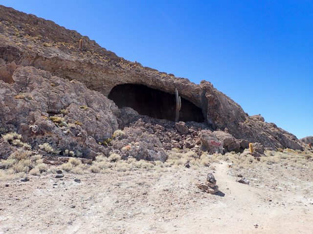
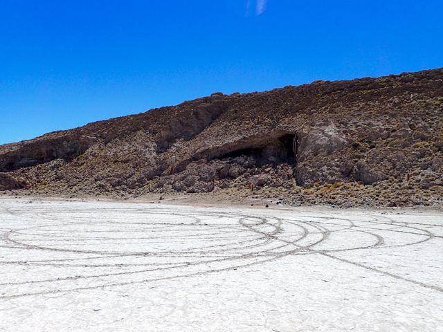
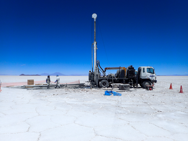
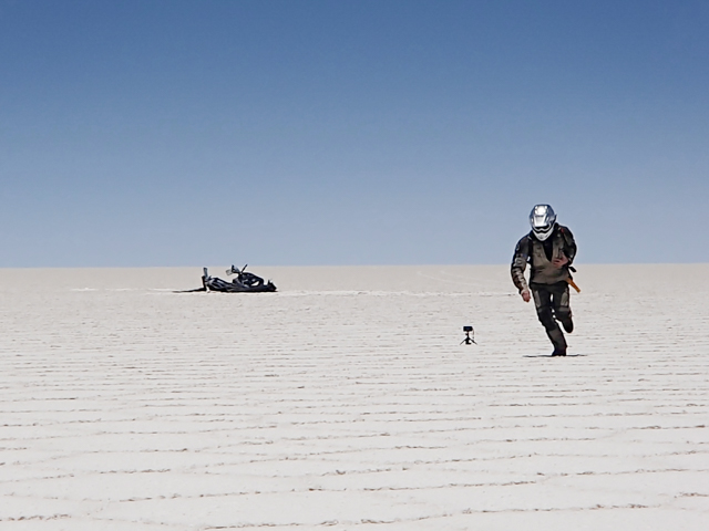
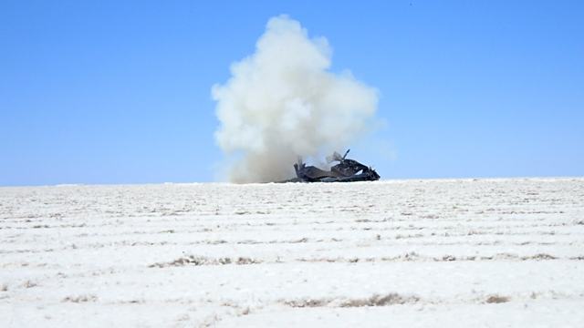
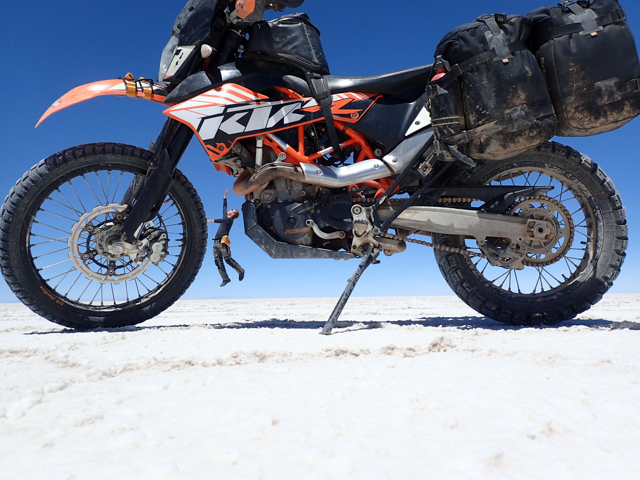
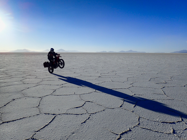
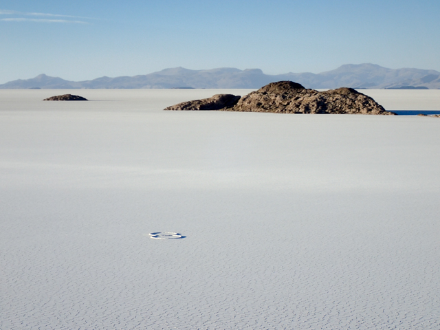
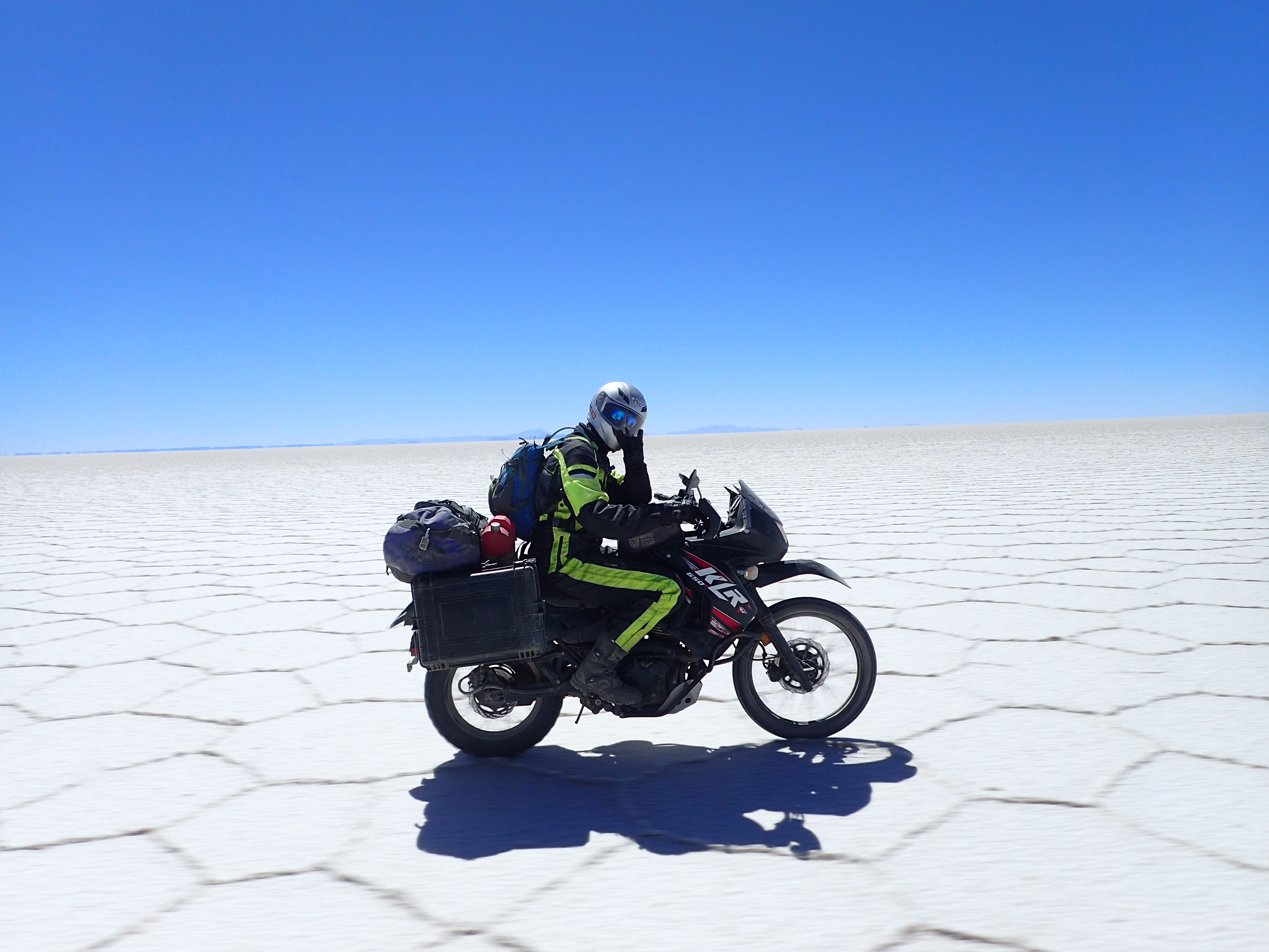
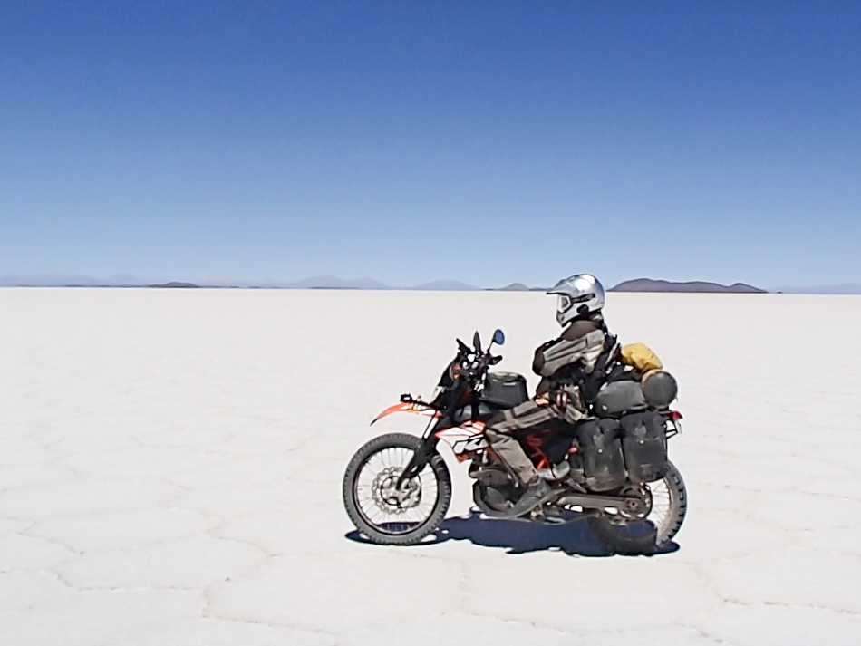
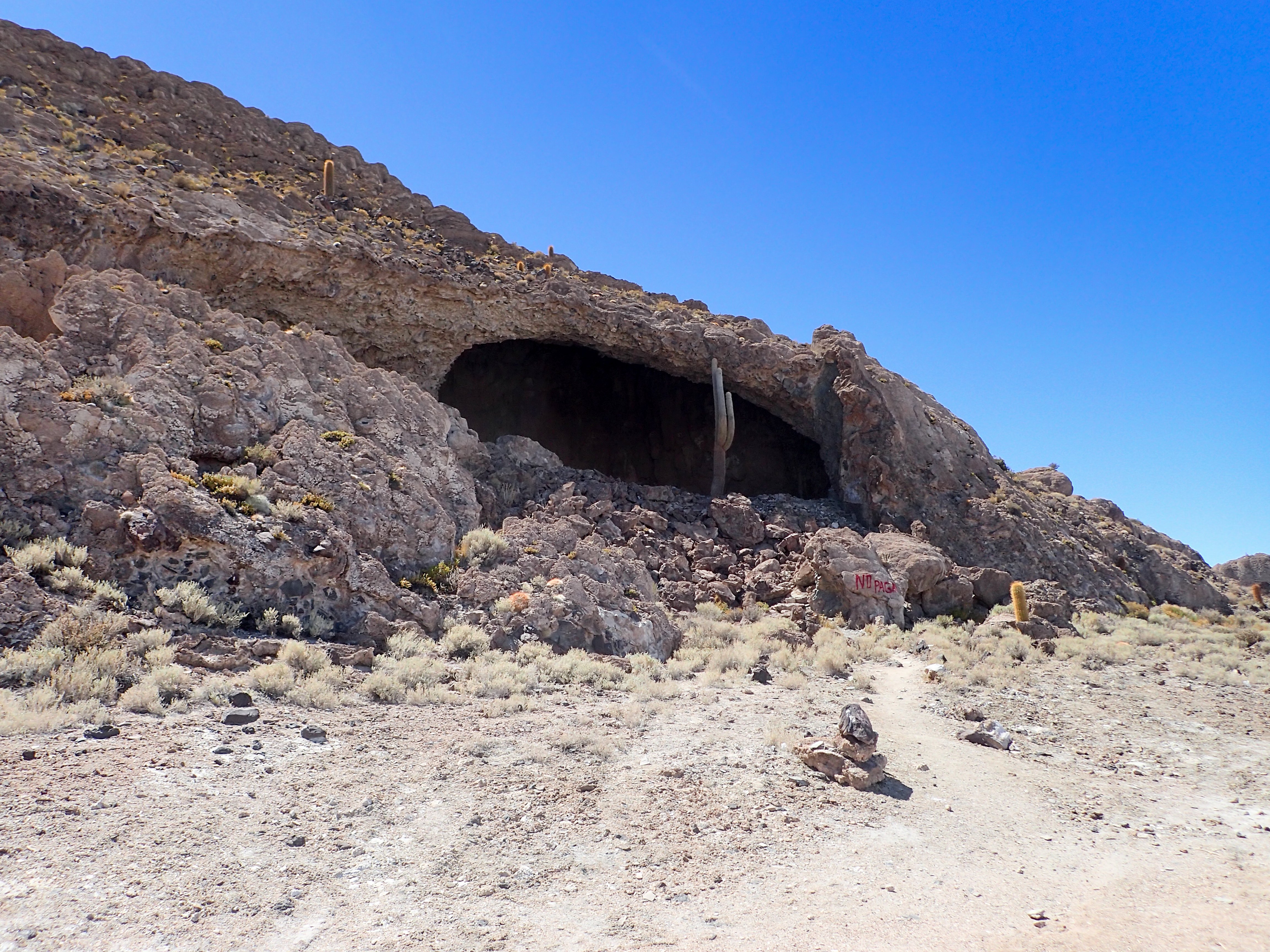
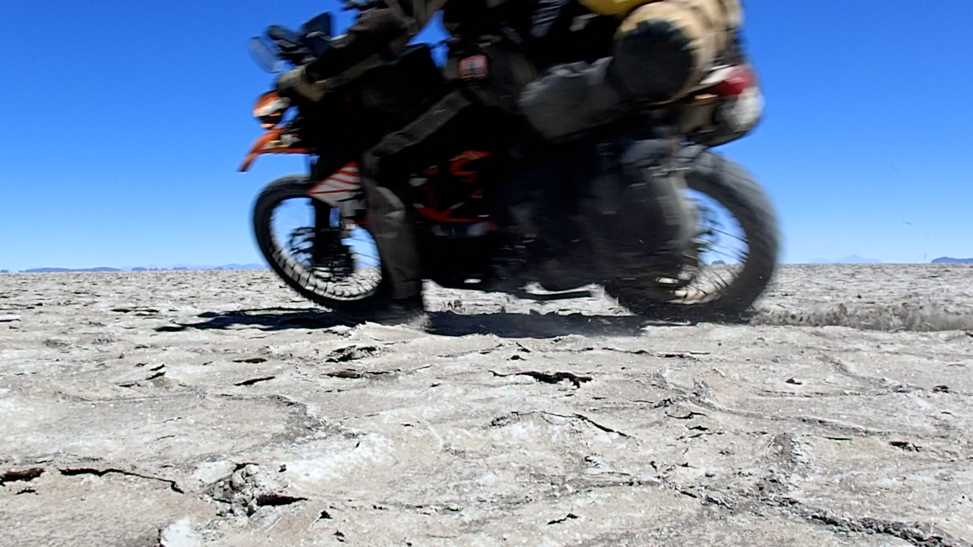
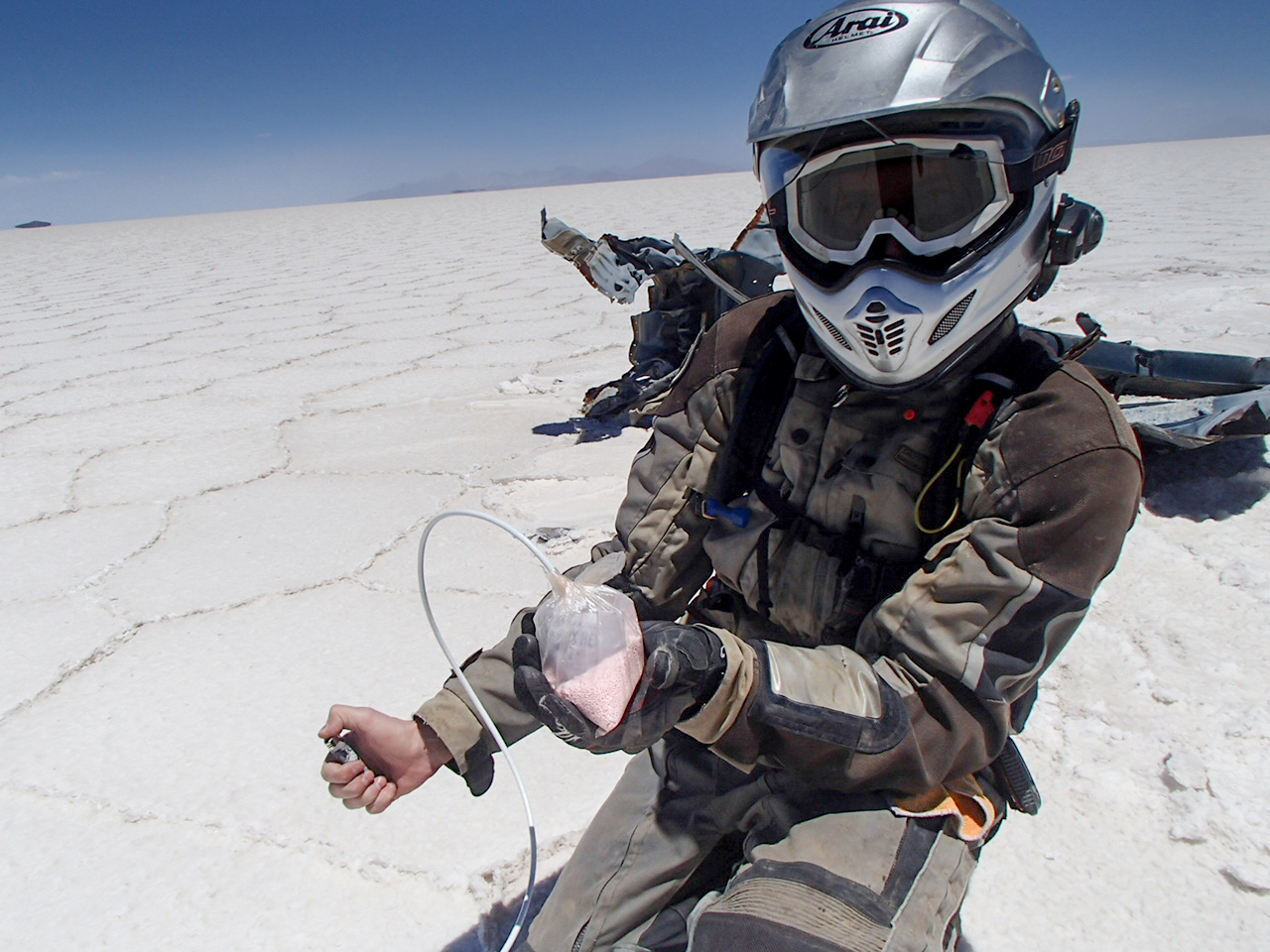
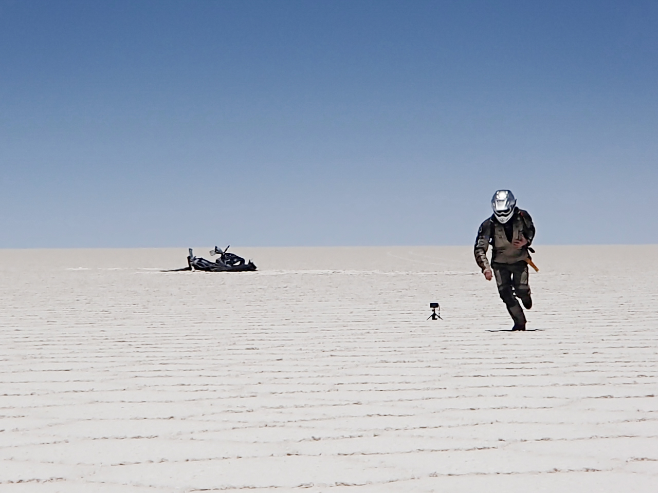
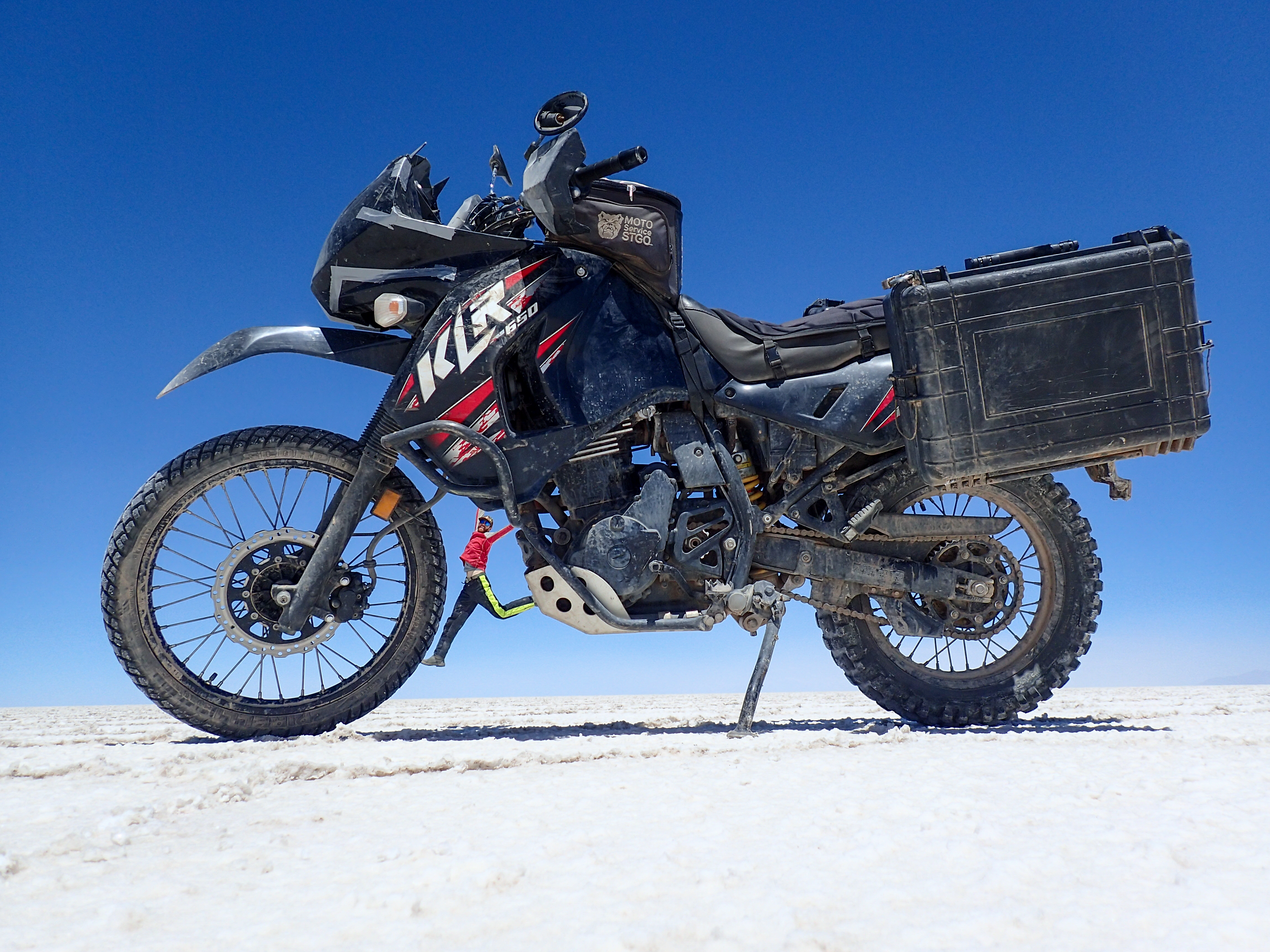
We loaded up on water and food, or at least what we could find in the small town, before heading into the salt flats to spend the night. First we checked out a bunch of the islands. Then we made camp before setting off for a wrecked, rusting car frame to set off the dynamite. After that we took some obligatory Uyuni perspective photos before heading back to camp. When we got back to our camp spot the wind had picked up considerably. We tried to build rock walls to break some of the wind but it was no use. Ultimately we decided to pack up and move to a more protected area. Some sunset wheelies, some dinner consisting of canned peaches, bread and spam and then early to bed. The stars at night in Uyuni are incredible!Photos
-

-

-
-

-
-
-

Dynamite in a bag with ammonium nitrate.
-
-
-

-
-
-
-

Amazing sunsets, sunrises and night skies in Uyuni.


0 comments:
Post a Comment