Stats
- Distance: 225 km (140 miles)
- Max Elevation: 4267 m (14000 feet)
- Min Elevation: 3546 m (11635 feet)
- Ascent: 1525 m (5005 feet)
- Descent: 1053 m (3456 feet)
Description
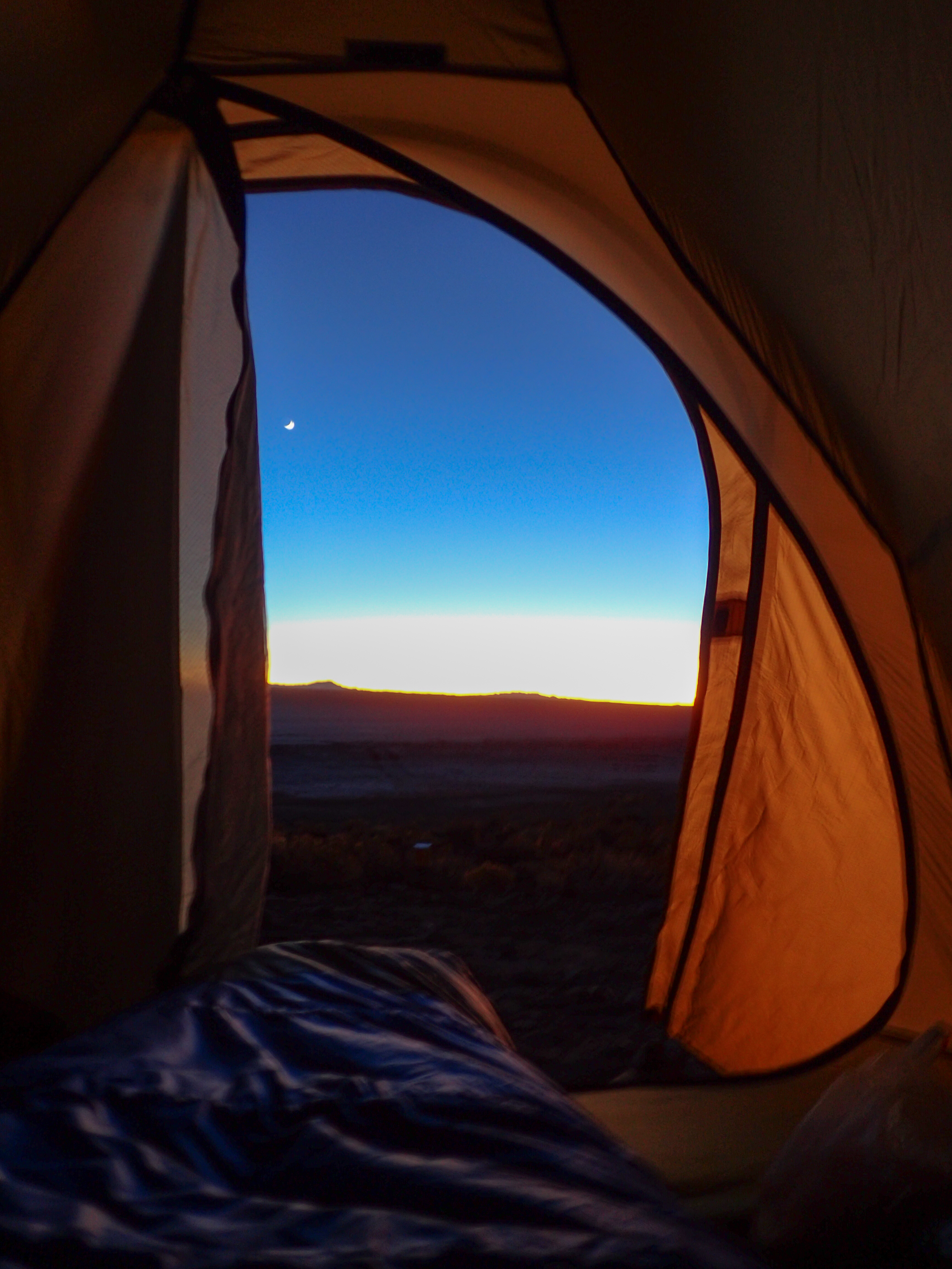
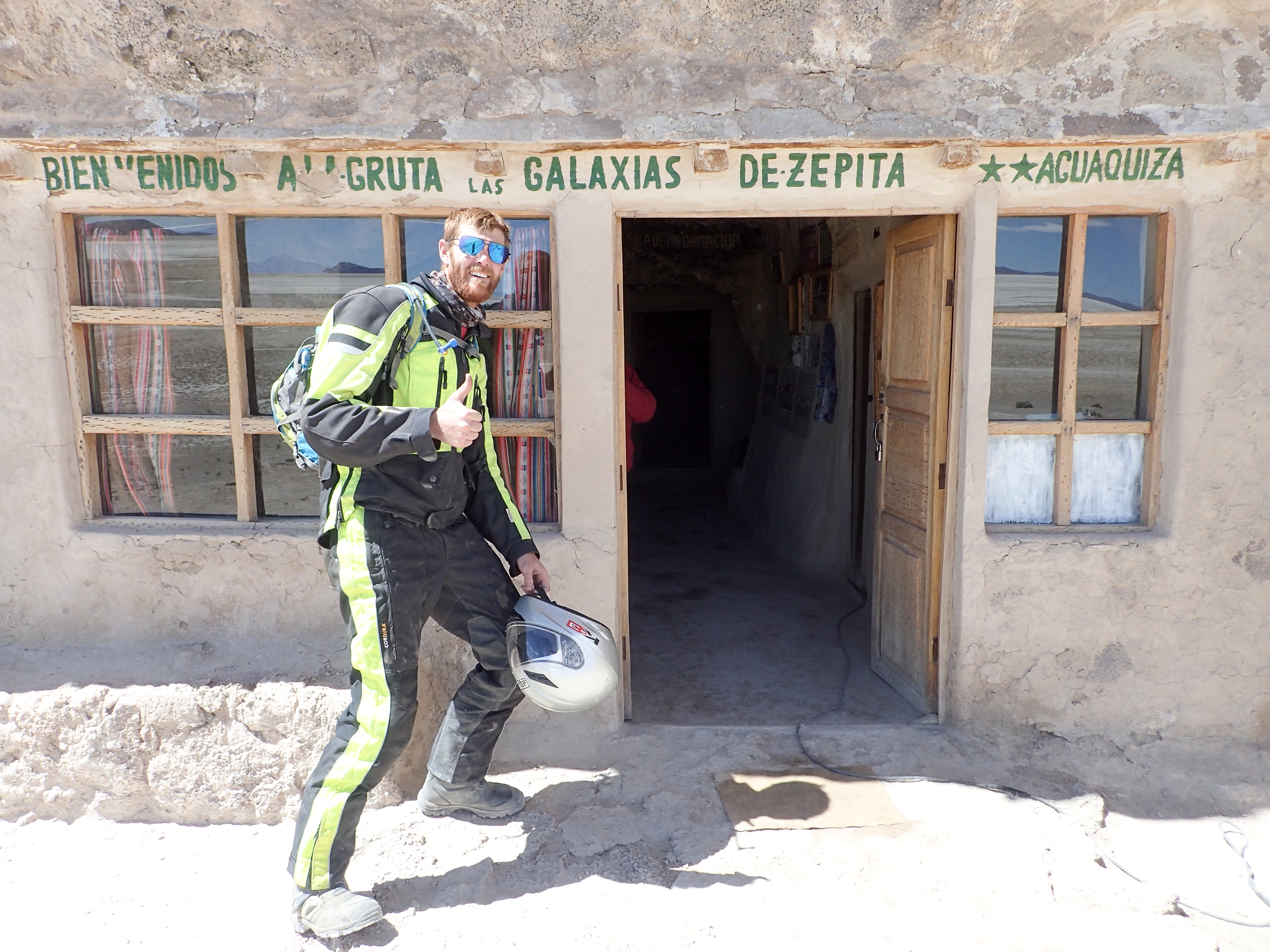
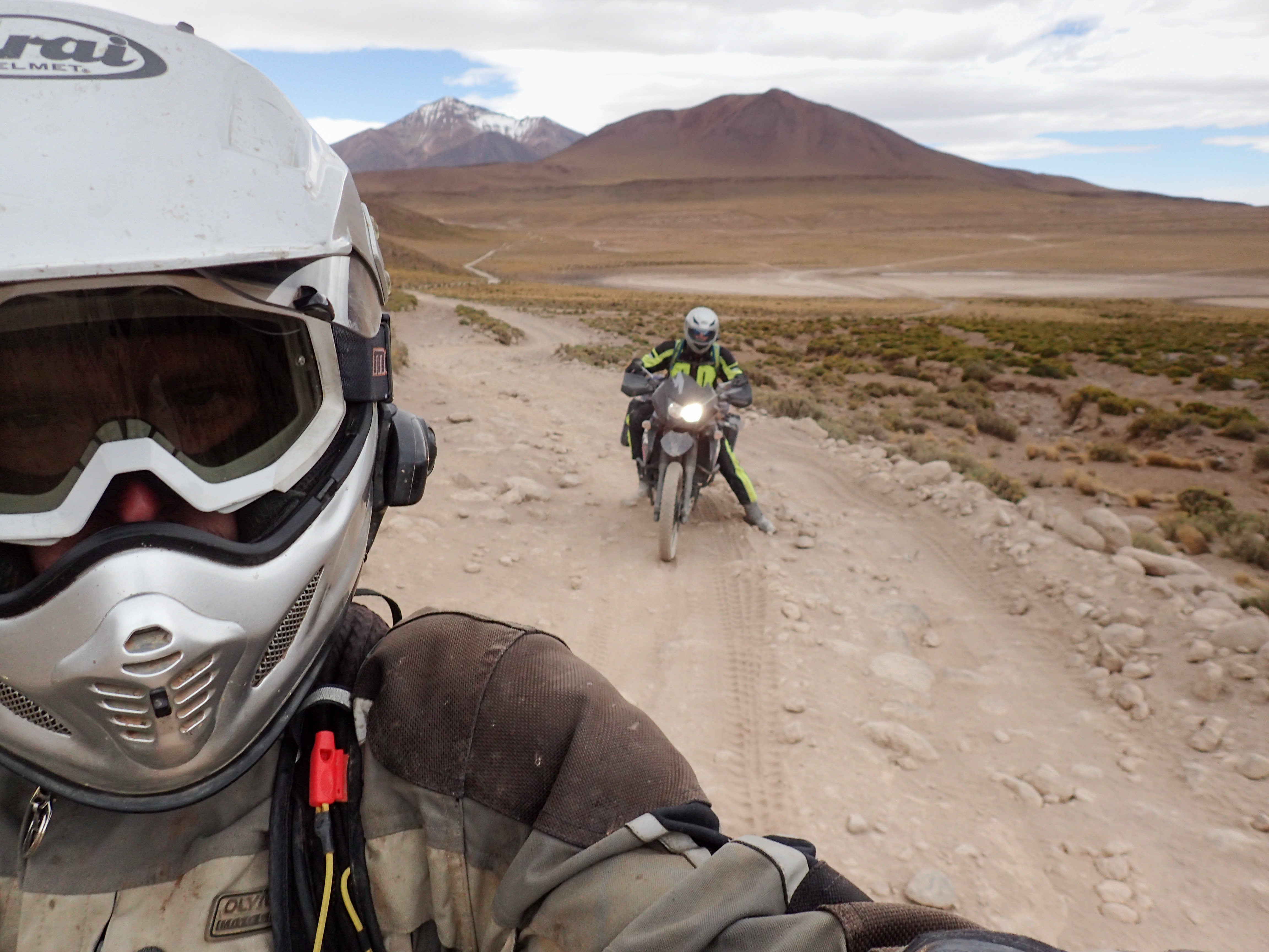
After getting up, briefly, for a gorgeous sunrise we set out for the Galaxy Caves with no real plan for the day in terms of route, gas, food or where to sleep. We got the caves and I decided to sit it out because of the 20 bs price tag for an 8 min walk through a small cave. Going outside to wait for Tucker the old lady comes out yelling at me saying that I need to get off the property or pay 50 bs. The wind was really blowing already so I sat next to my bike with my helmet and gloves until Tucker was done.We continued on snaking through dry lake beds and at times barely discernible roads until we crossed a more main road. We decided to detour 20km into a small town called San Juan to look for gas. We found some and brimmed our tank because the rest of the ride south to Chile is very sparse with towns. We grabbed some more peaches and head out for the “lakes road”.
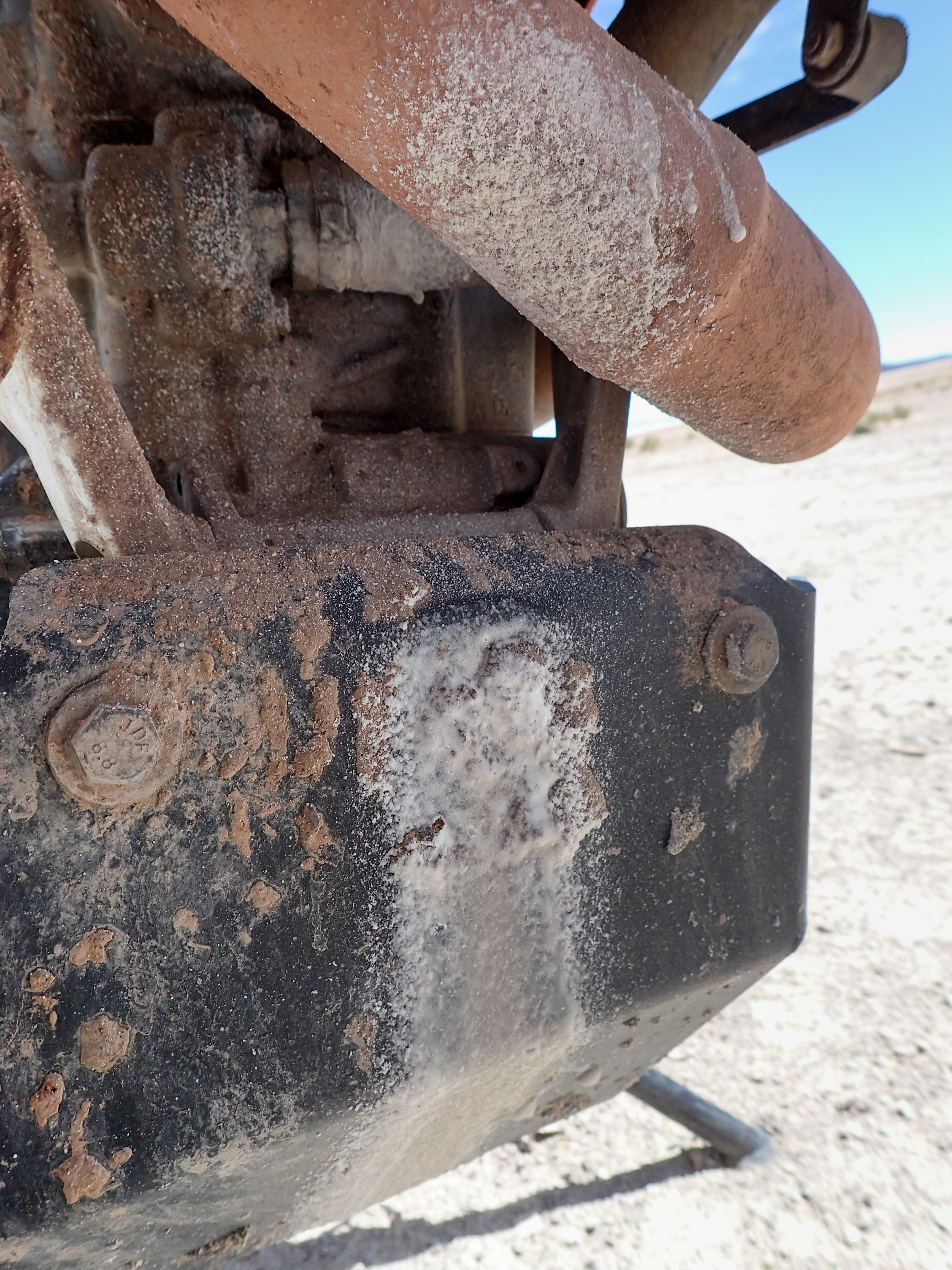
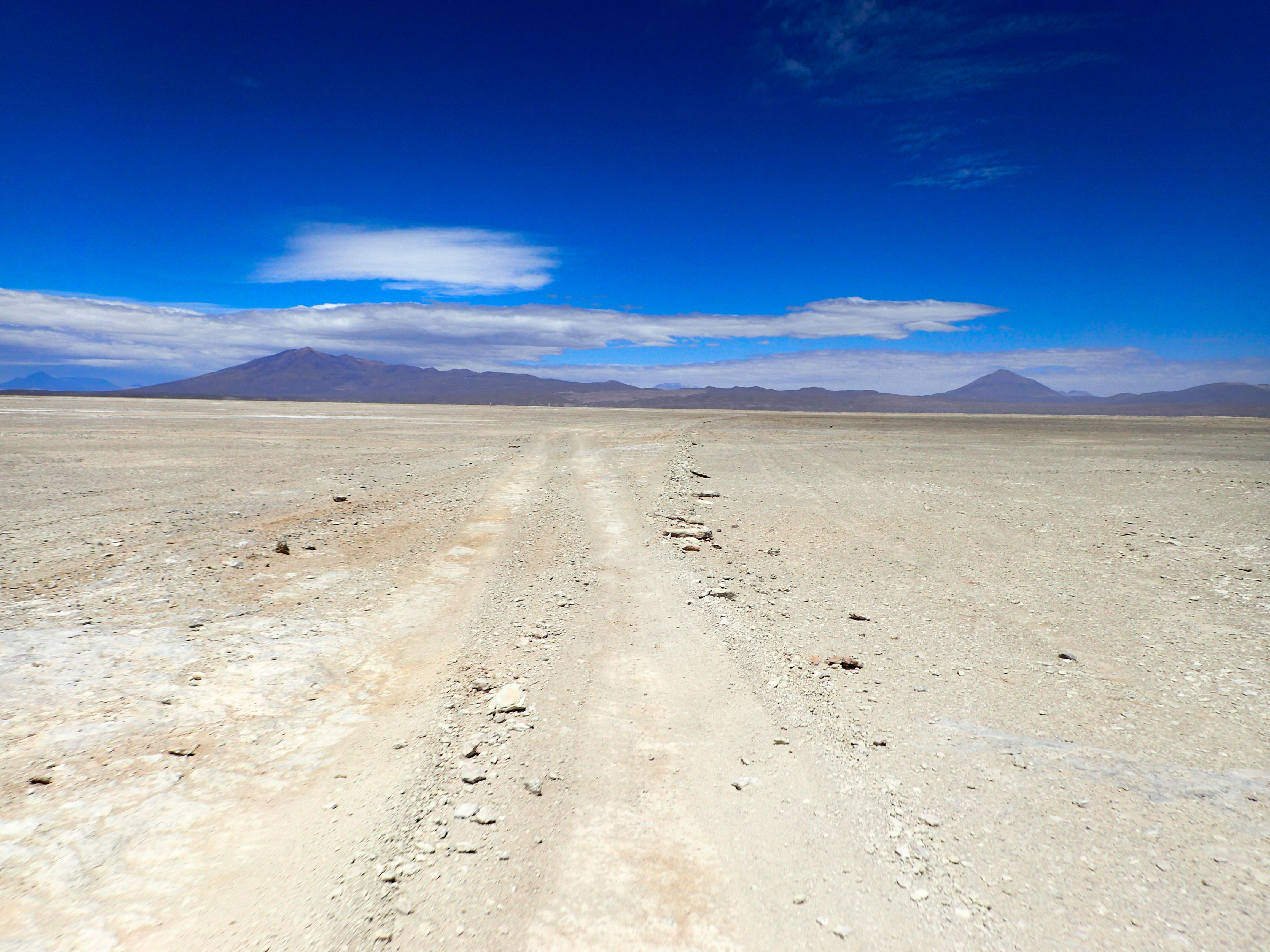
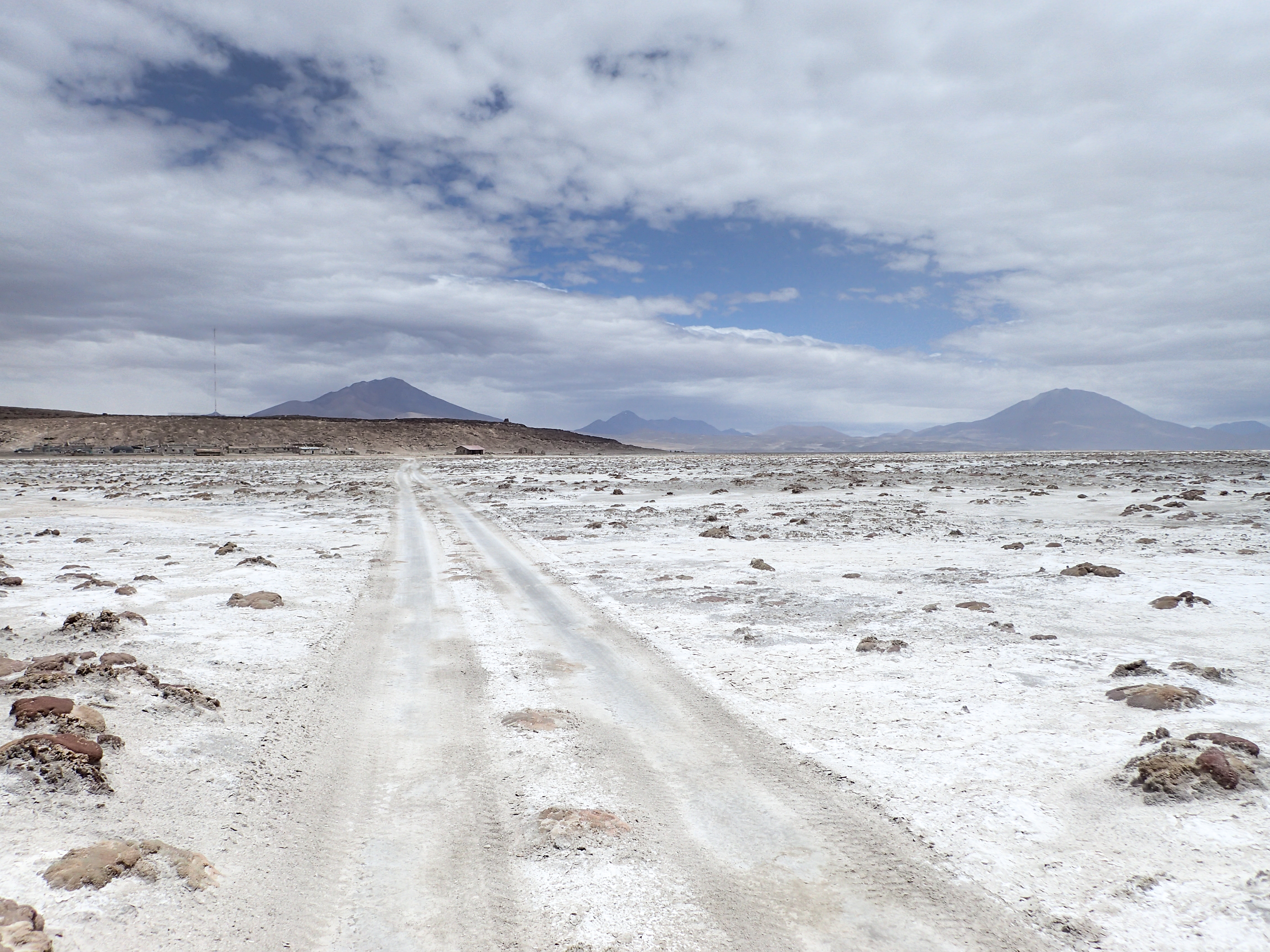
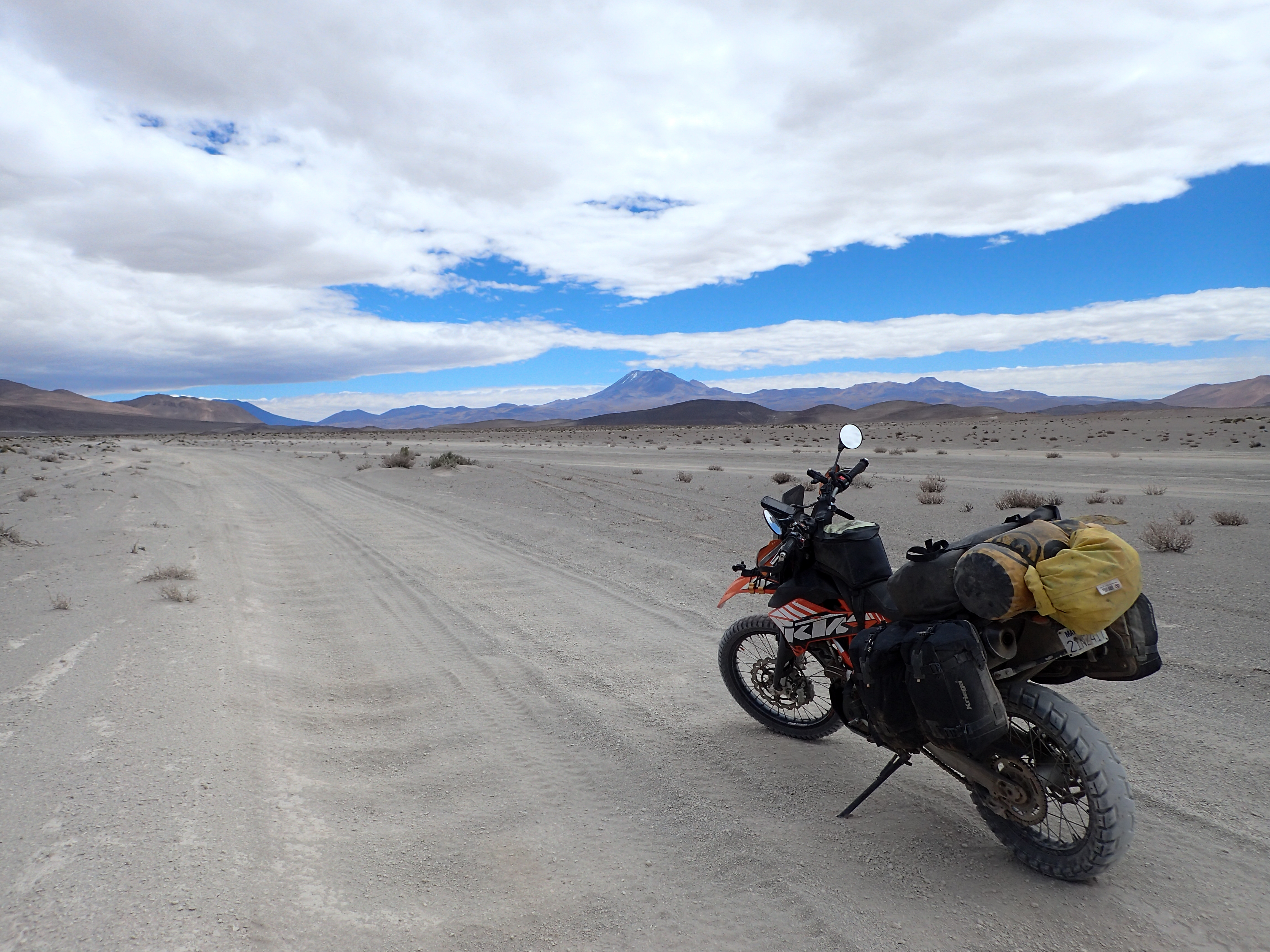
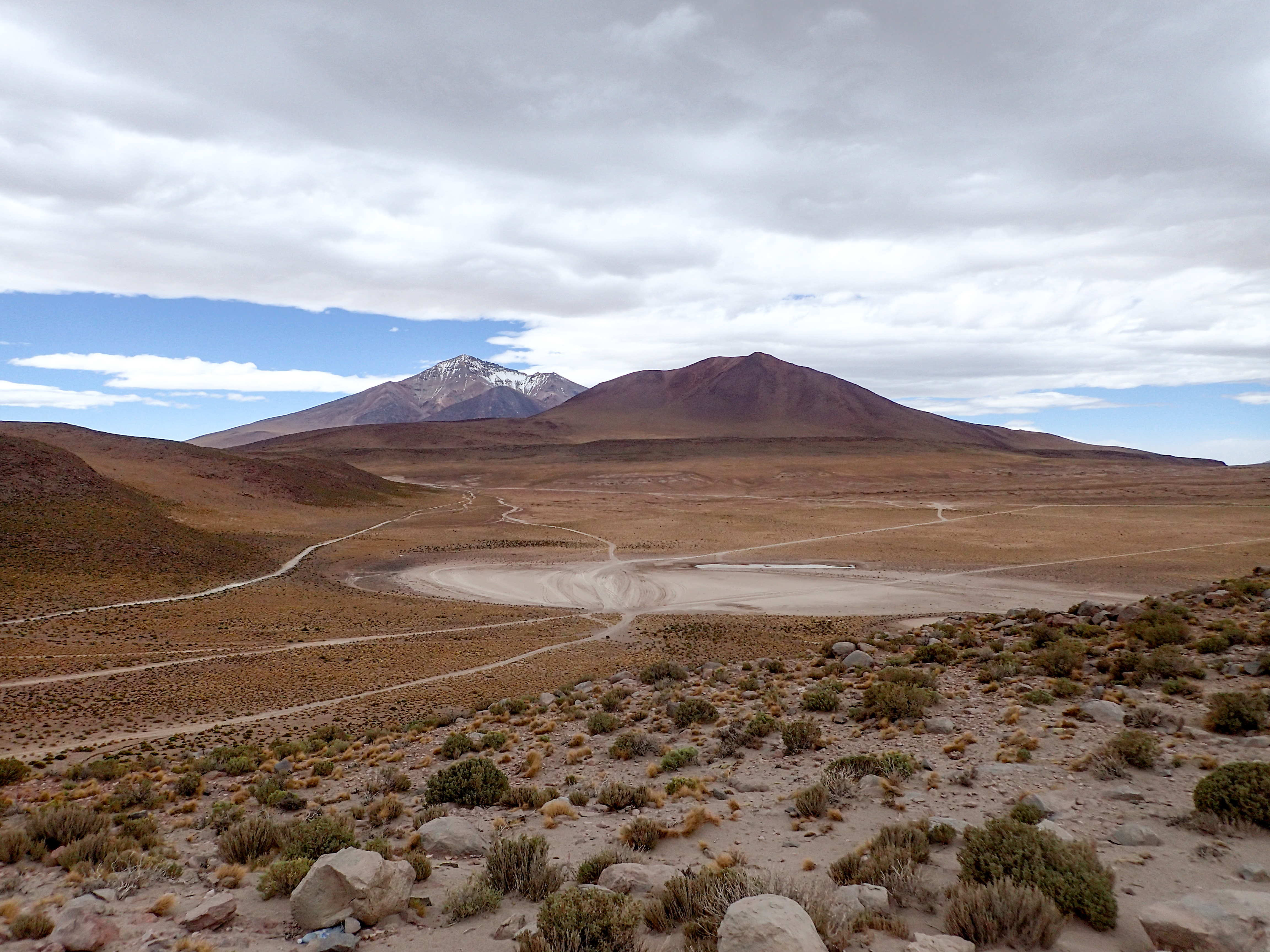
More high winds and dry lake beds with very cold temps. At times the road was smooth and fast, then washboards, then sand, then gravel. It was all over the place but not all that fun. The terrain, however, was ever changing and often felt like you were riding on another planet. The road would split into several directions that would all meet back up. None seeming any better than the others.
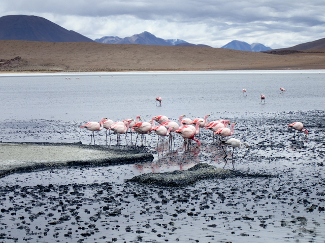
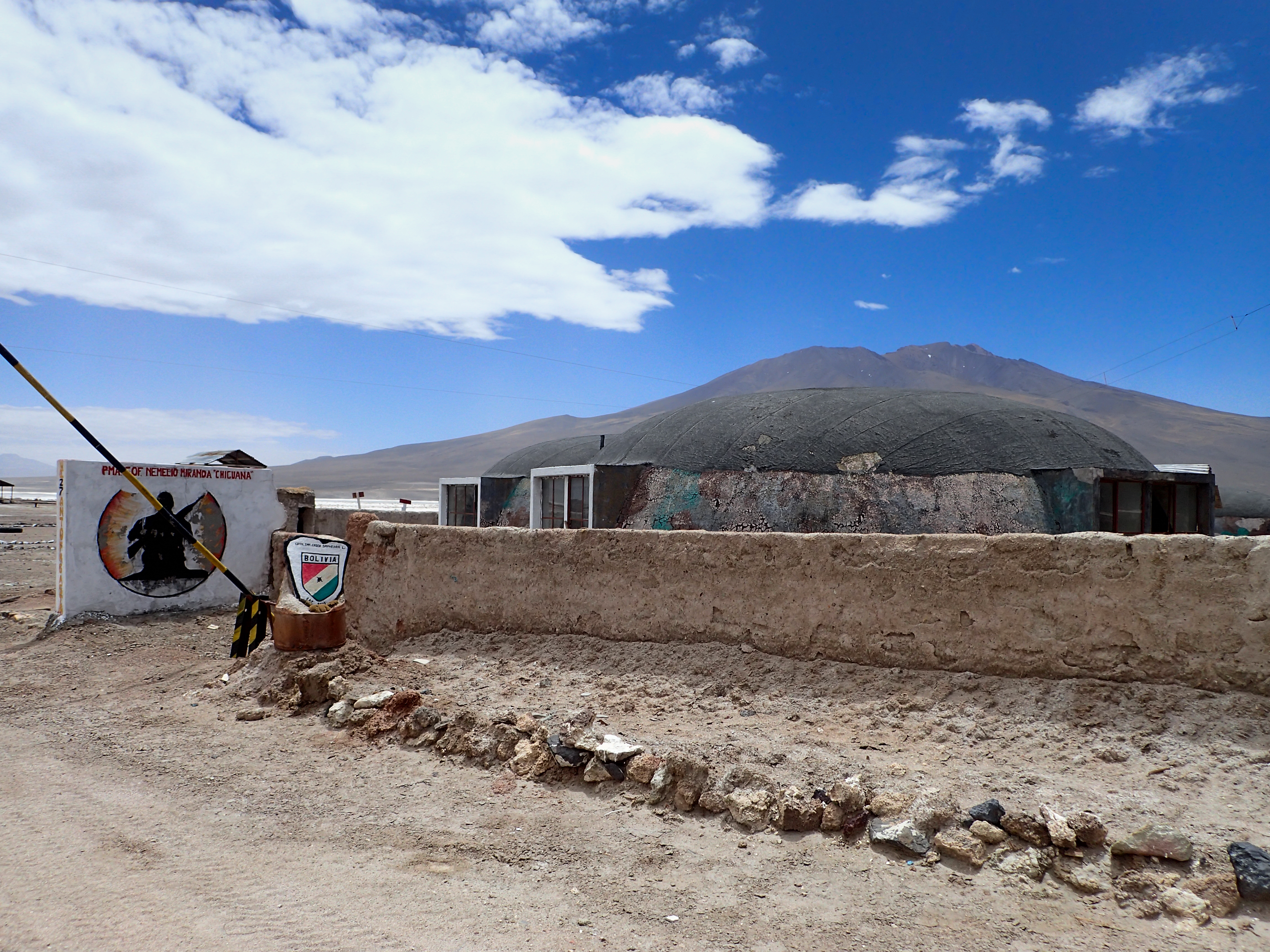
After we crossed through a very cool looking abandoned military outpost we hit the first lagoon, Cañapa, where we were greeted by hundreds of flamingos. We continued on and hit a small “resort”, restaurant and hotel next to the next lagoon. The very simple room with mattresses on cement slabs was 150 bs! The winds were crazy and now we had climbed over 4200 m so we decided to bite the bullet and be warm for the night. Still we ate our peaches and tuna in the room instead of paying for the 70 bs llama dinner.


0 comments:
Post a Comment