
Stats
- Distance: 473 km (293 miles)
- Max Elevation: 2314 m (7594 feet)
- Min Elevation: 929 m (3050 feet)
- Ascent: 2565 m (8417 feet)
- Descent: 2985 m (9796 feet)
Description
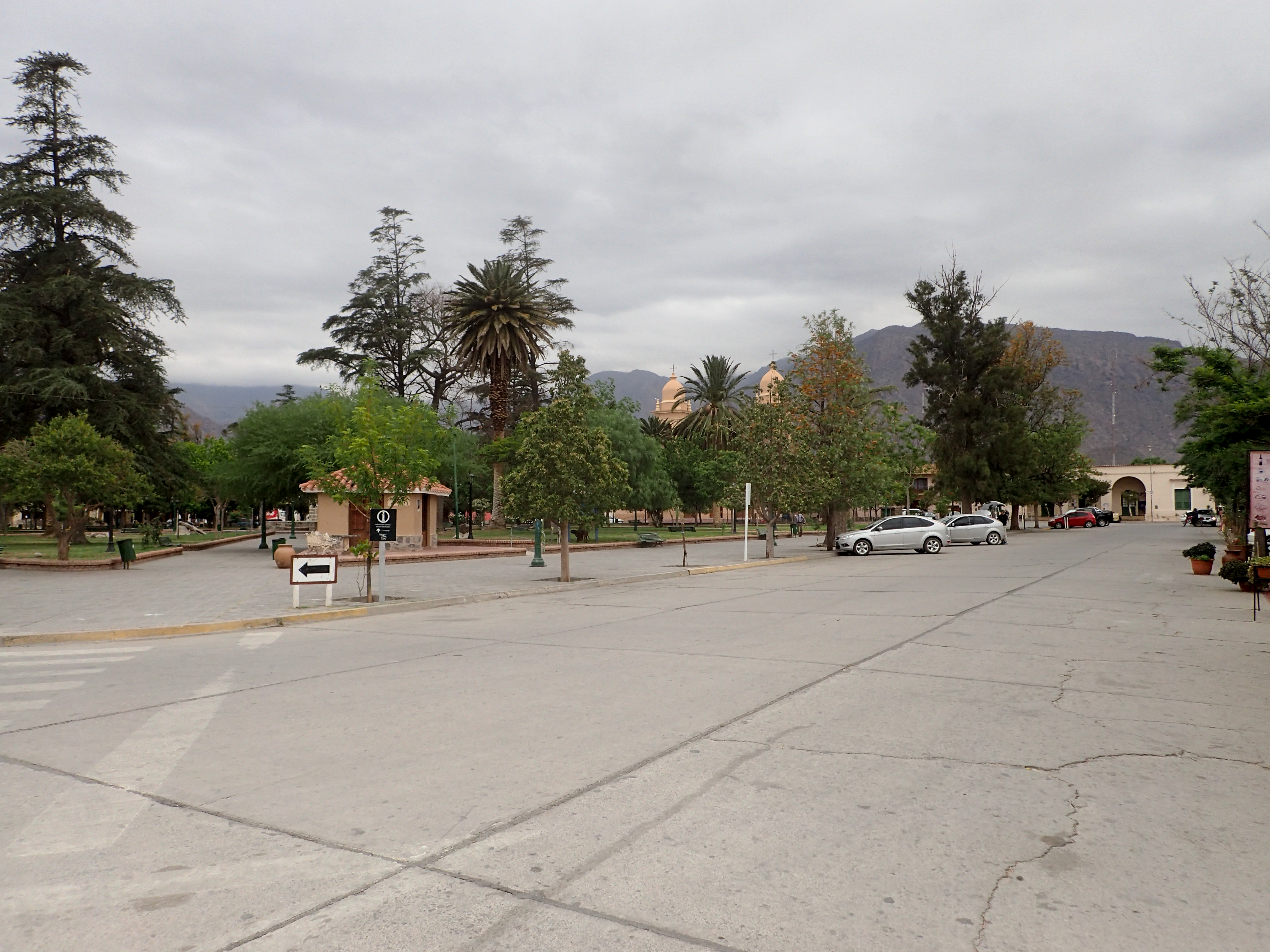
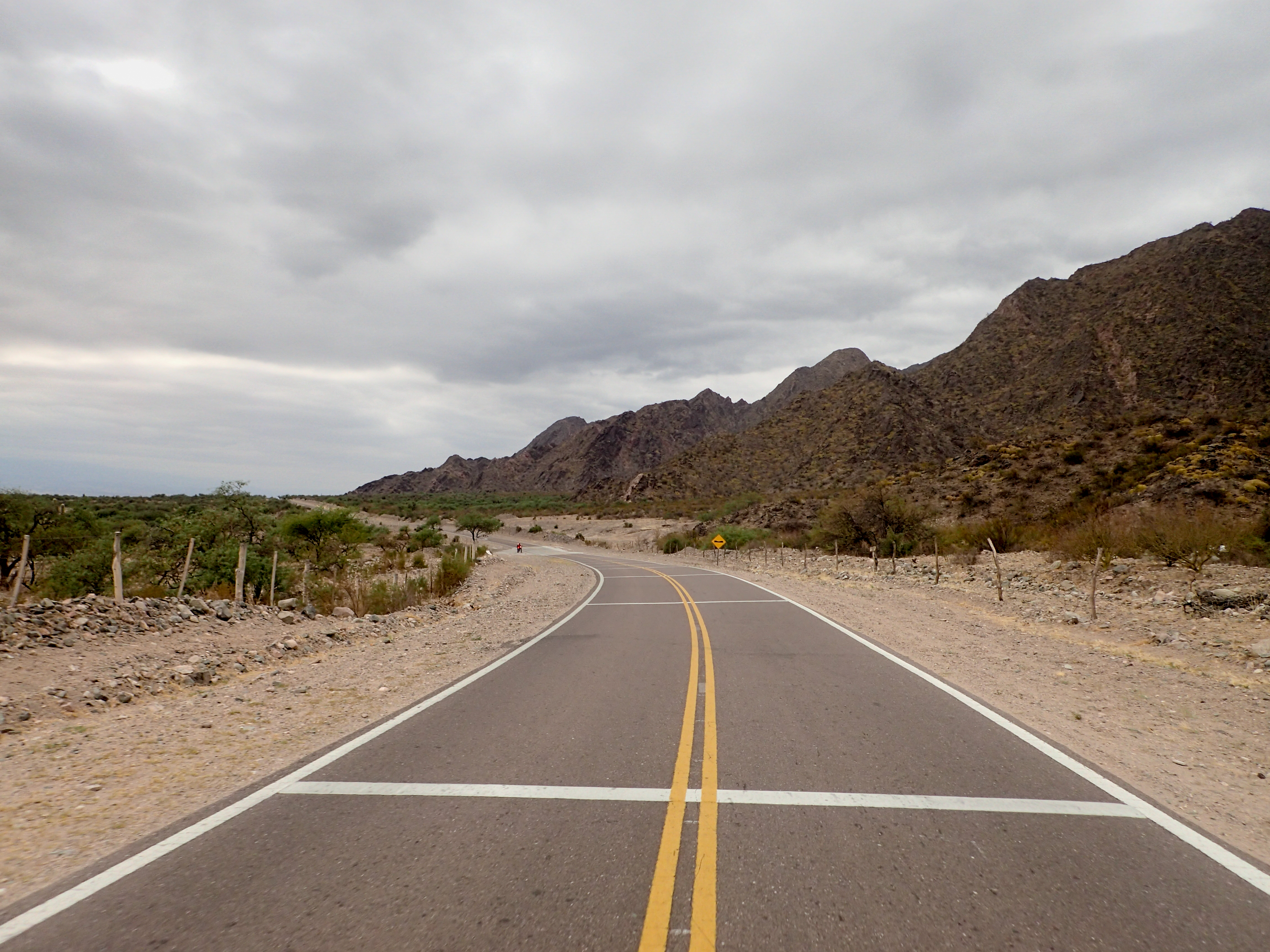
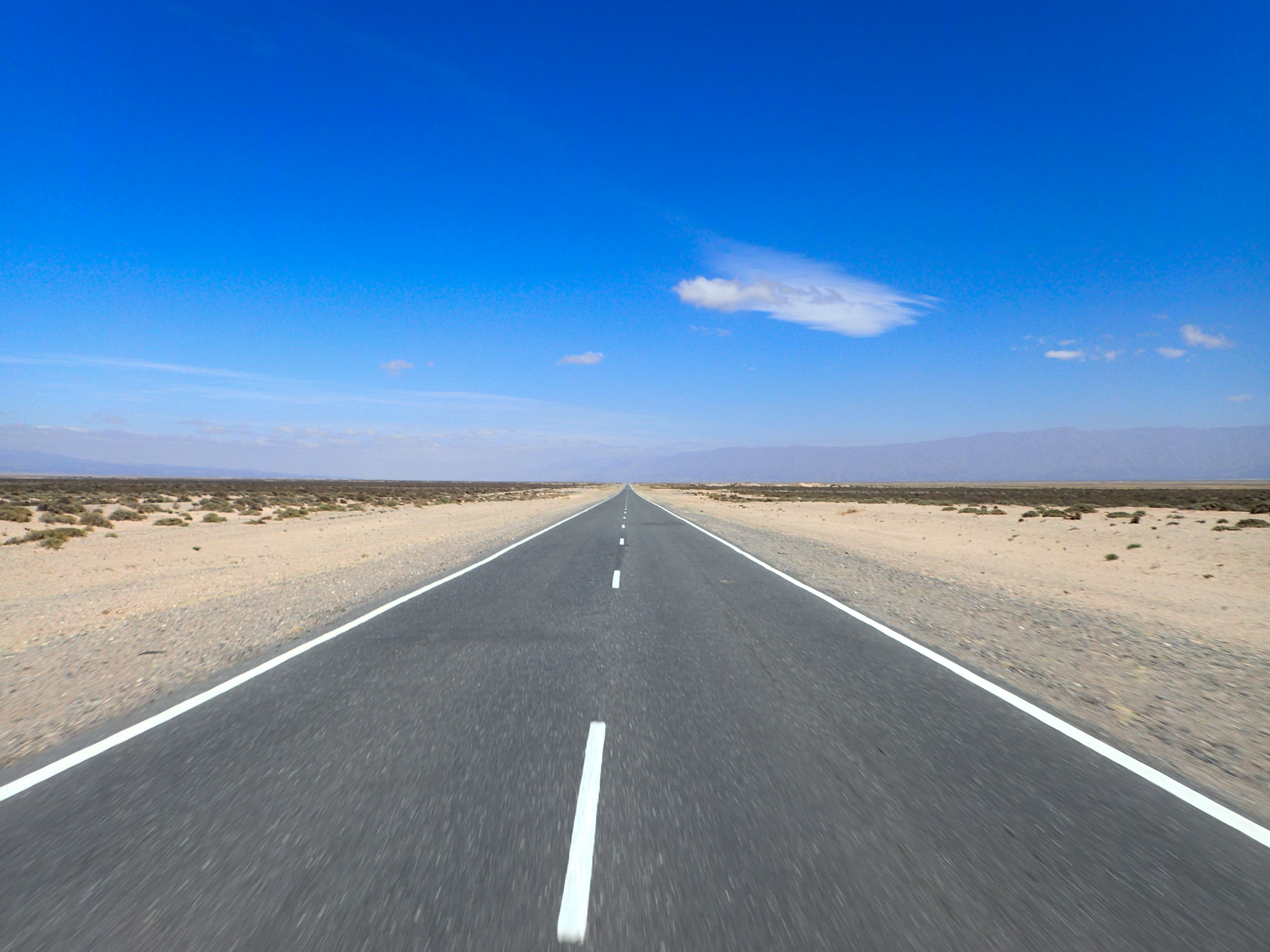
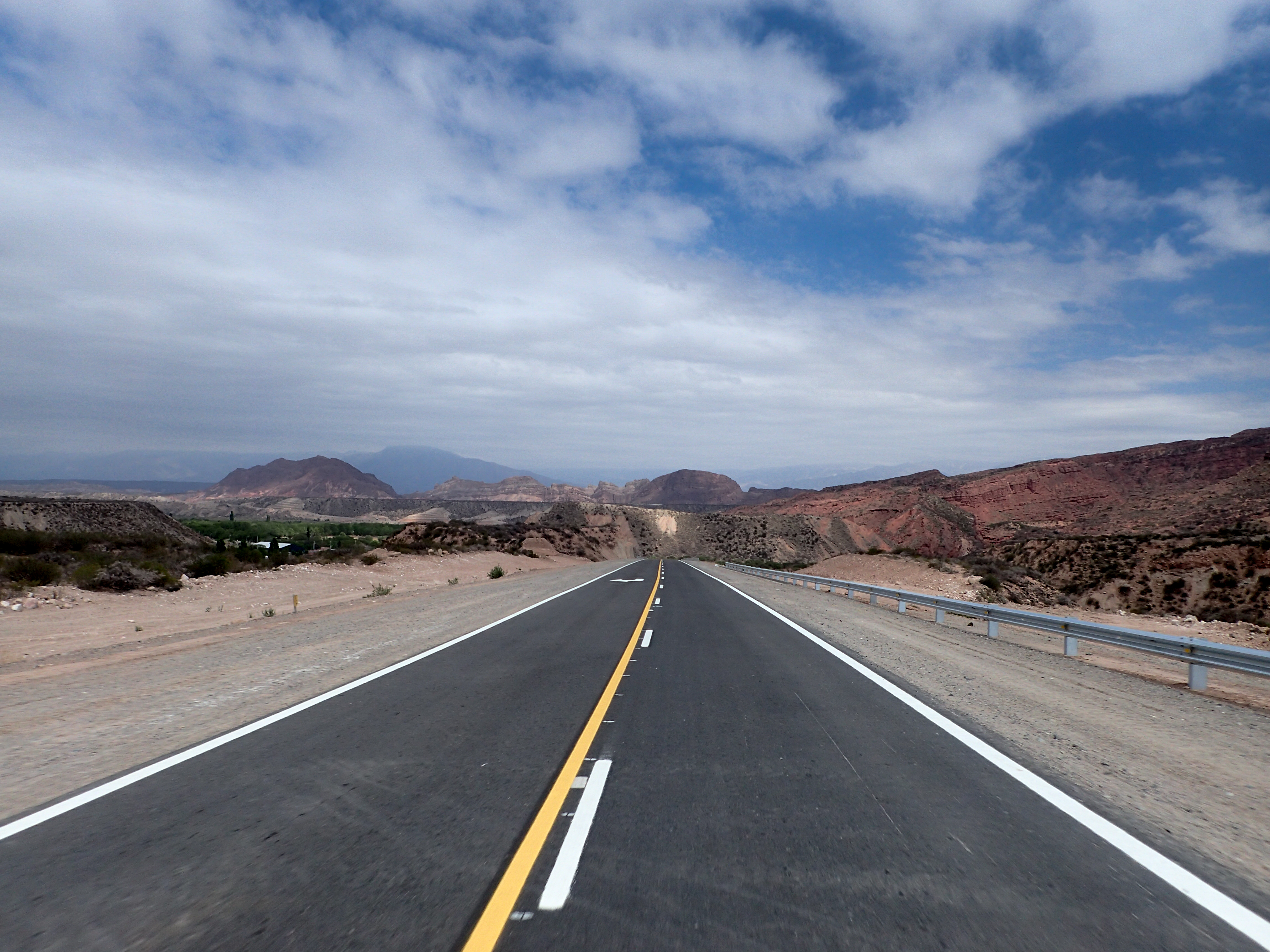
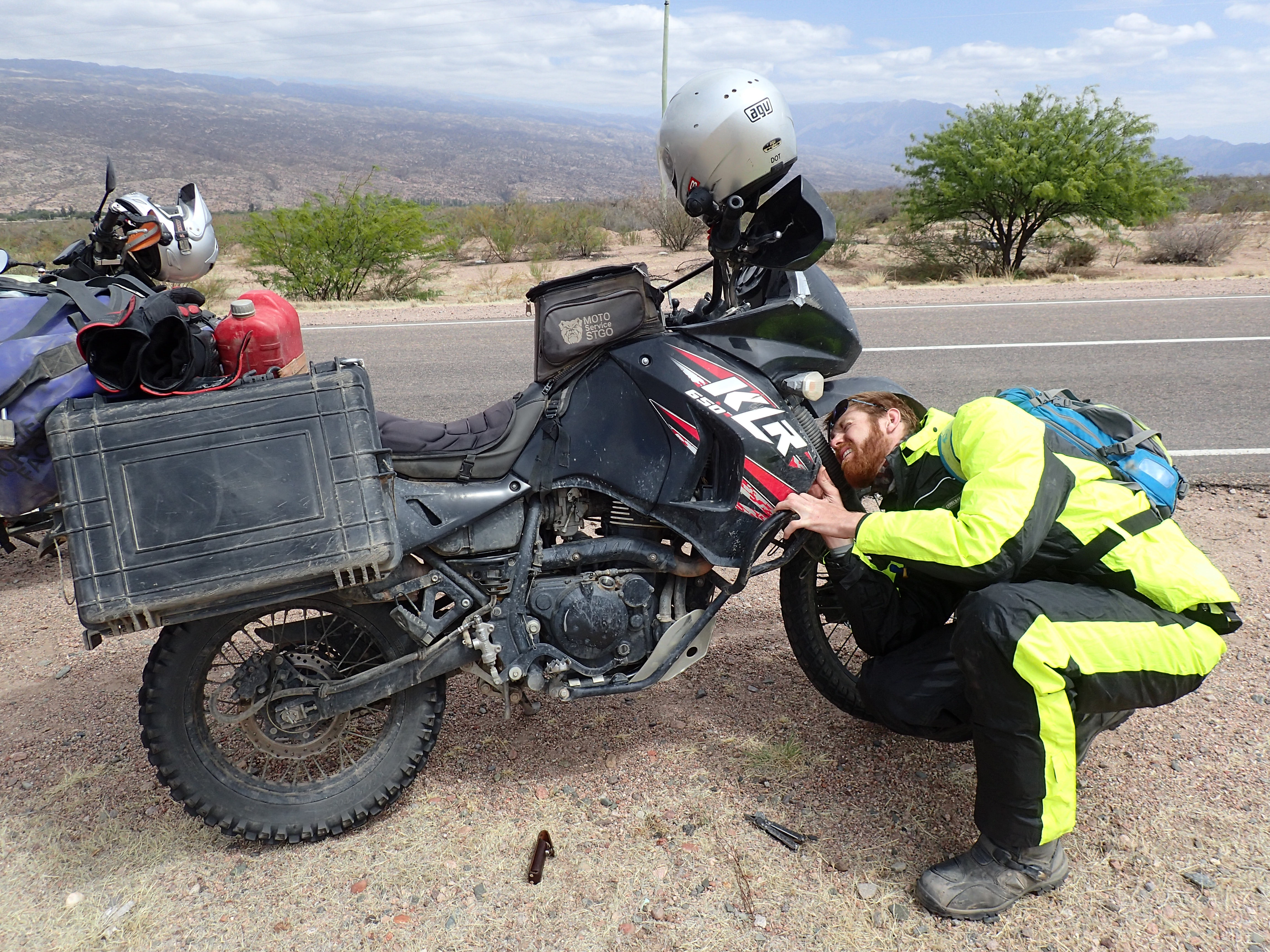
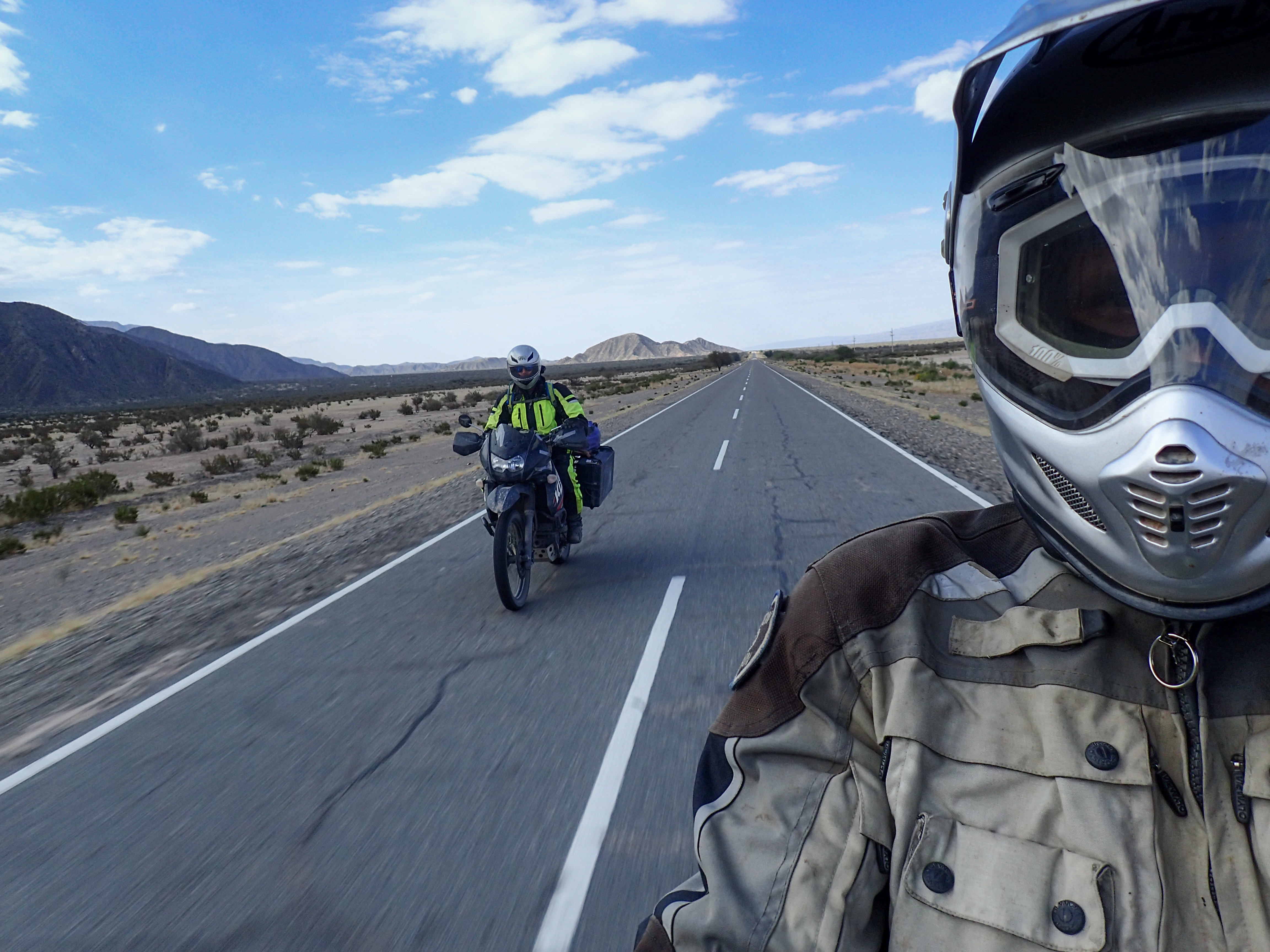
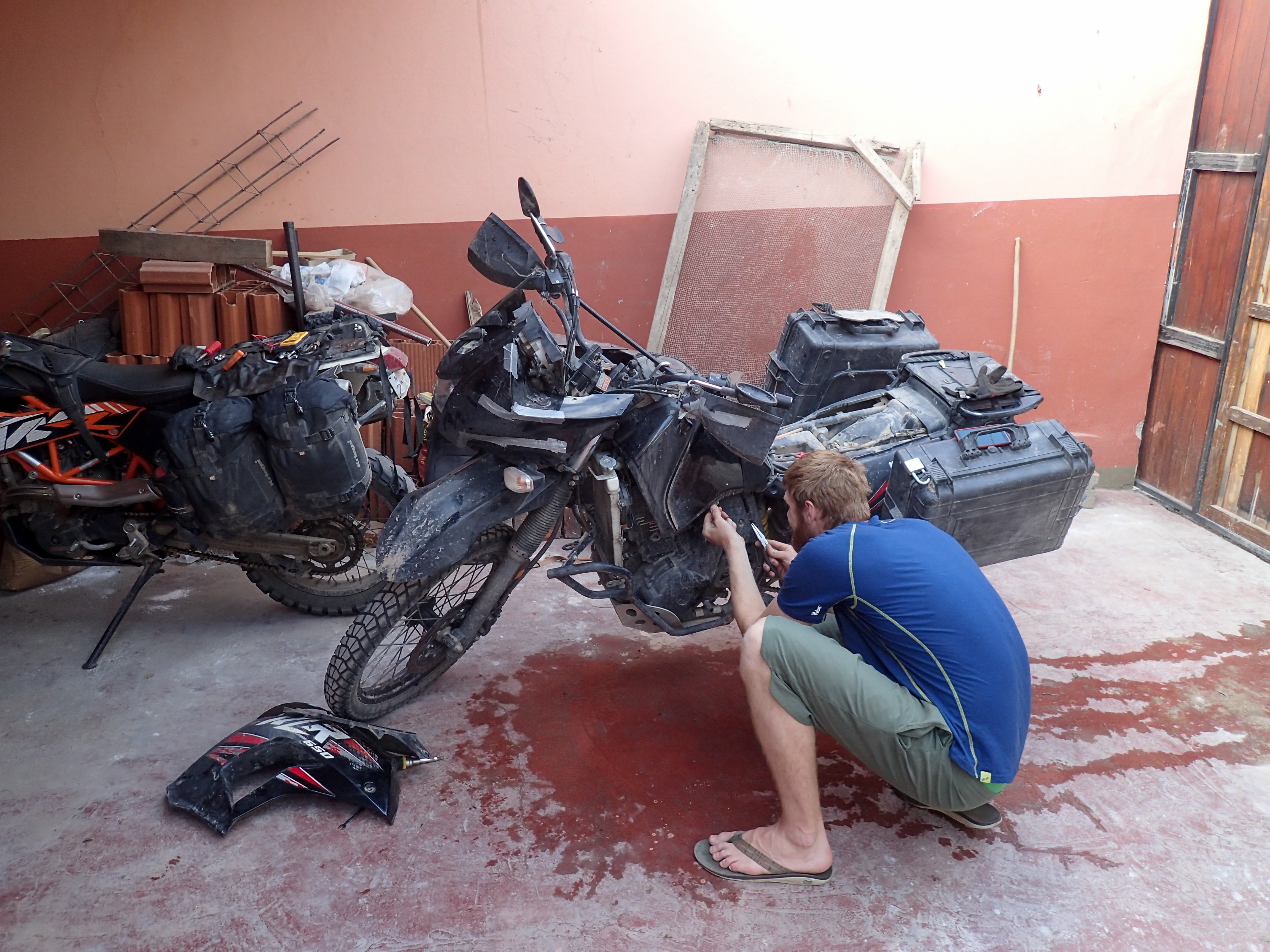
With more of the 40 looming we headed out for Chilecito or further if we could make it. The road started out paved but quickly turned back into washboardy dirt. Mercifully, the pavement returned and we spent most of the day on tarmac. We were making good time and found a great meal for lunch were they fed us fresh bread, a basket of fries, a huge salad, a half a chicken and a bowl of thick stew with tripe, sausage, vegetables and chicken for the both of us for under $10!Pretty uneventful and mostly boring ride with some short but fun twist sections until Tuckers bike started reading that it was over heating. Earlier that day he lost his headlights and his tail light. We figured there was something electrical after we couldn’t find anything wrong with the cooling system. As I write this we are still diagnosing. Hopefully tomorrow we will continue on for Mendoza and Santiago.

0 comments:
Post a Comment