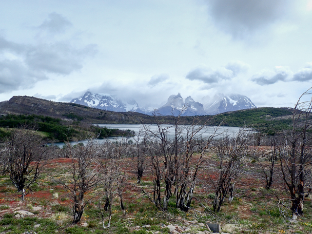
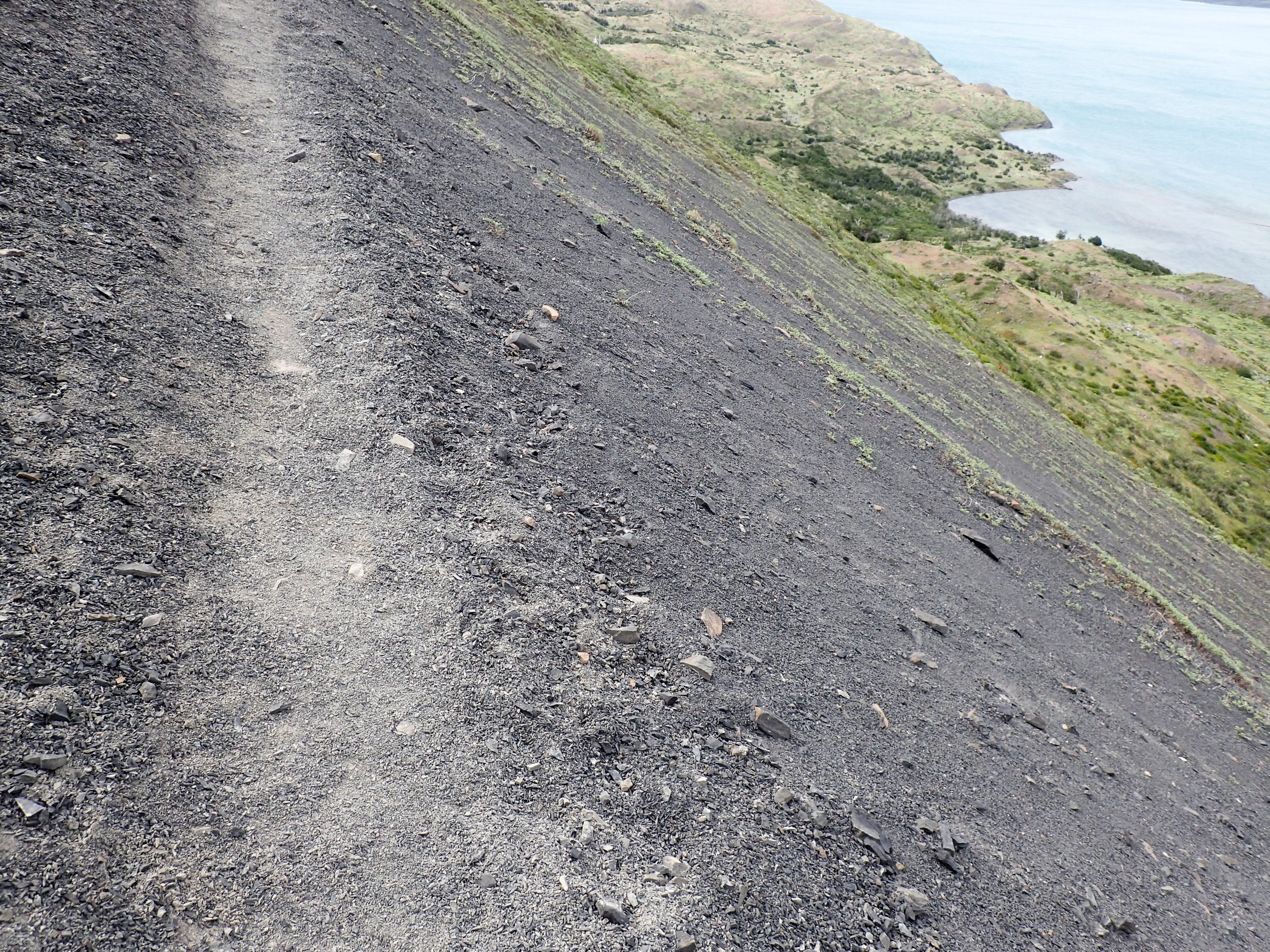
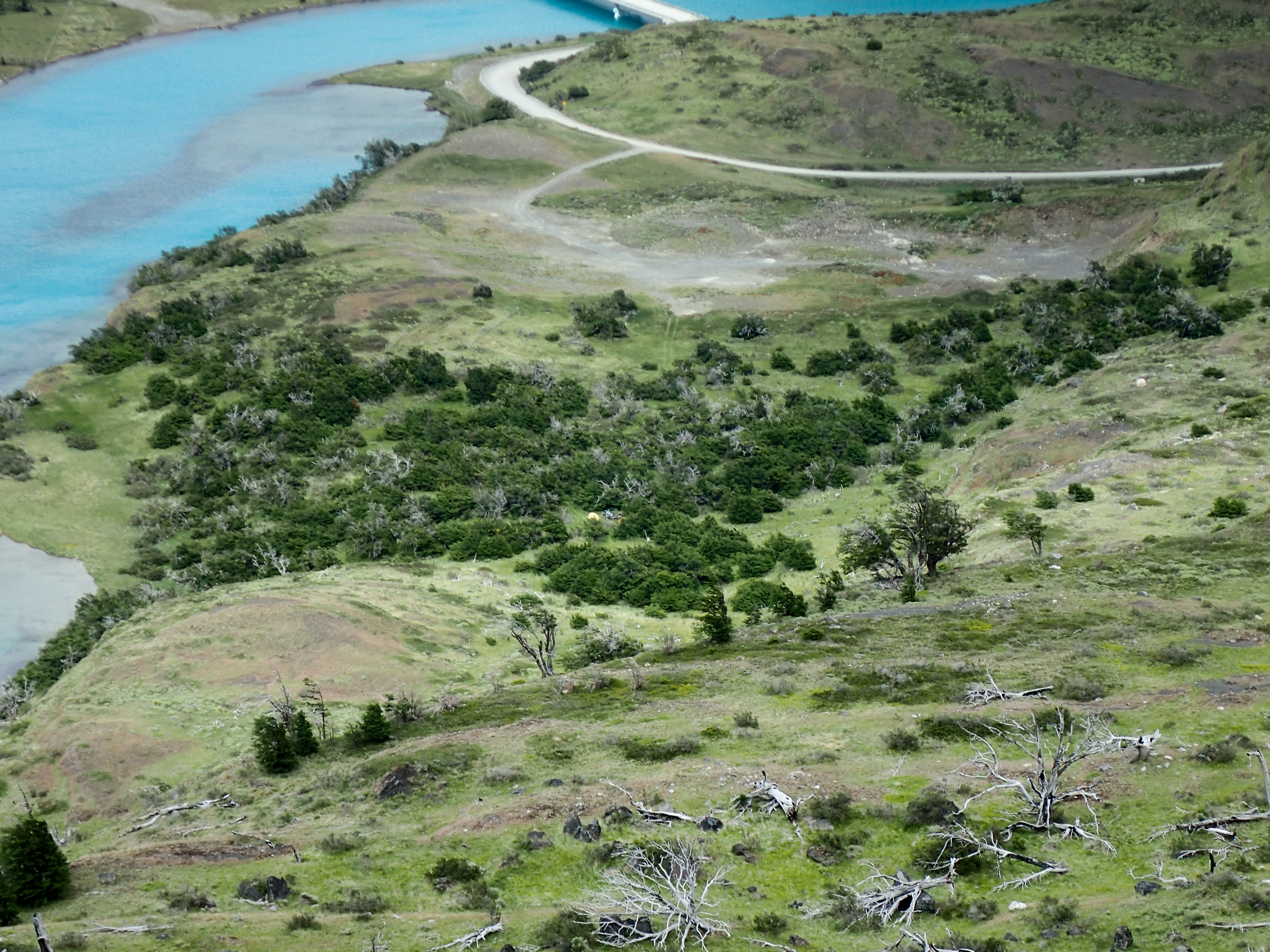
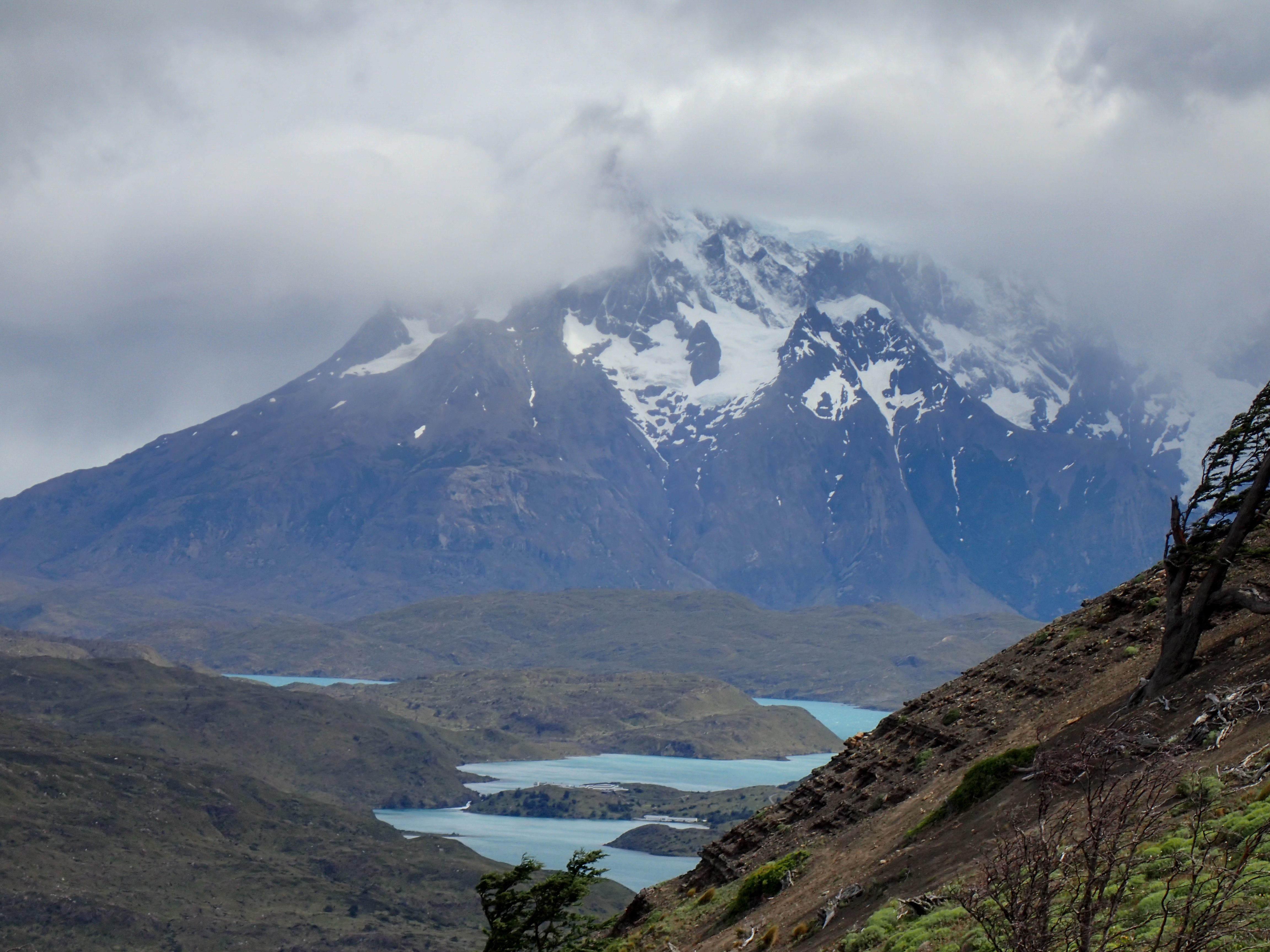
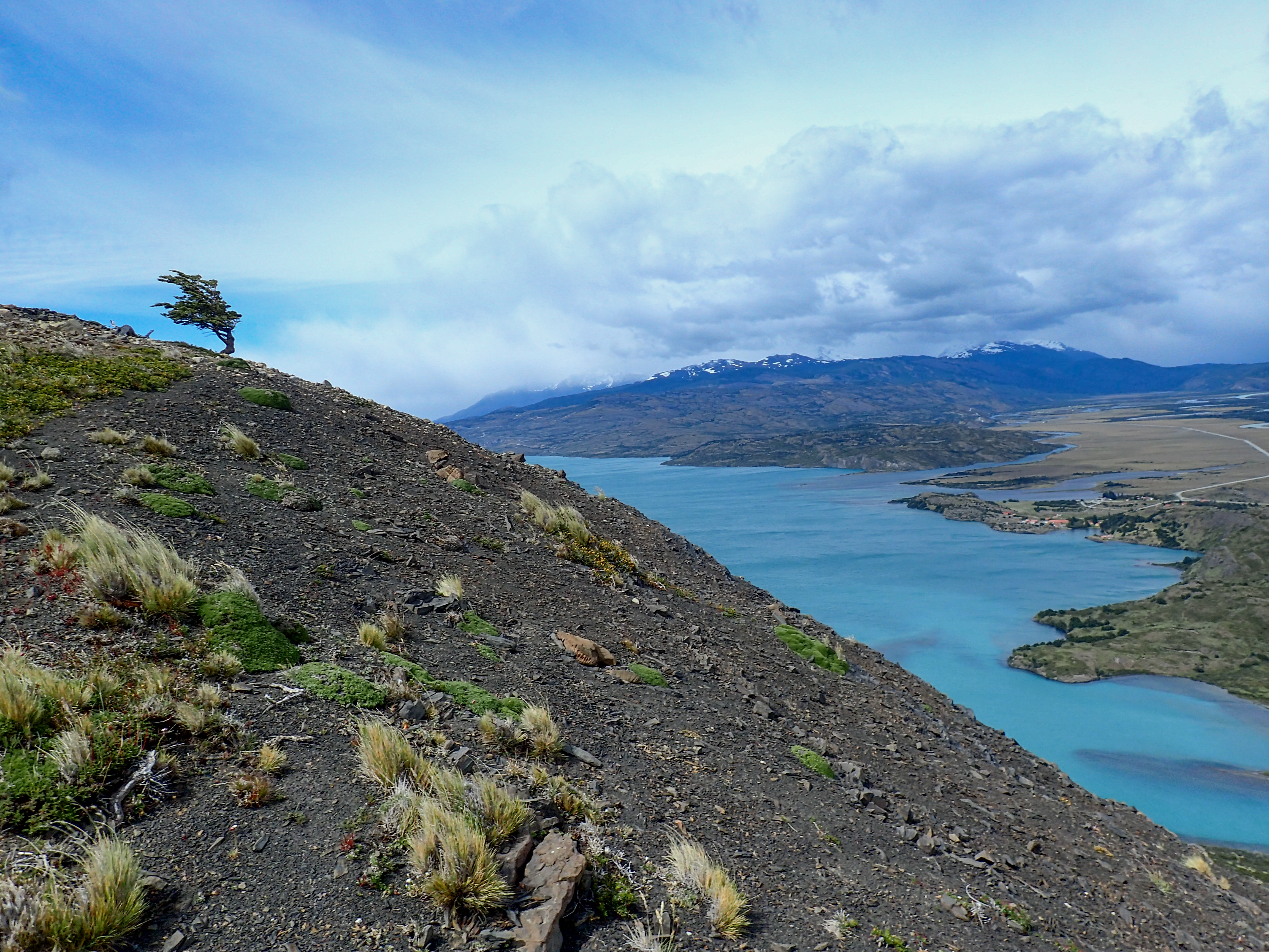
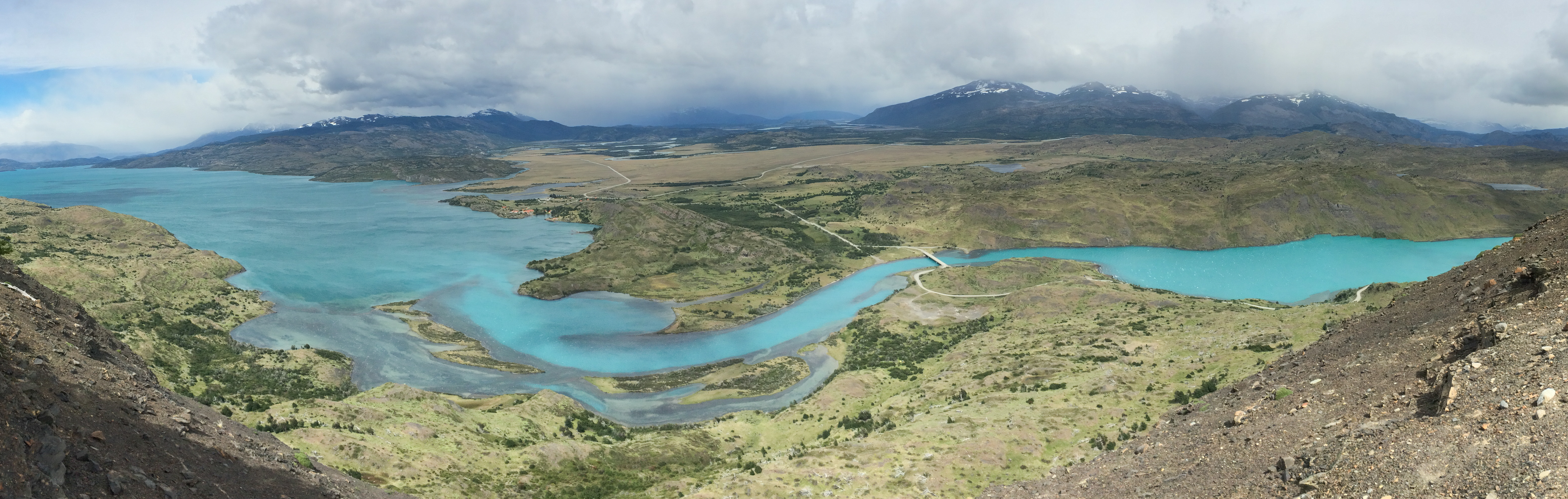
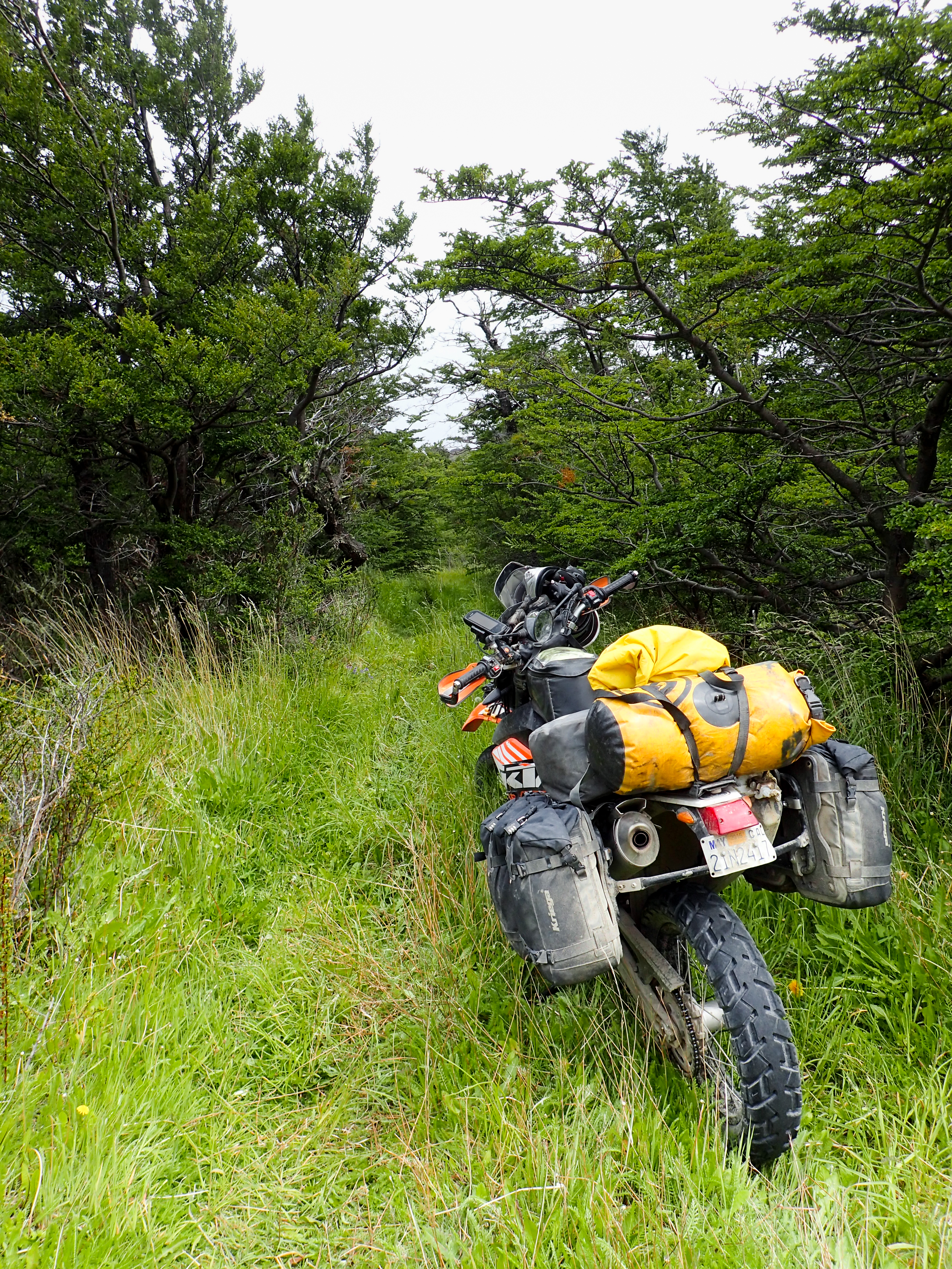
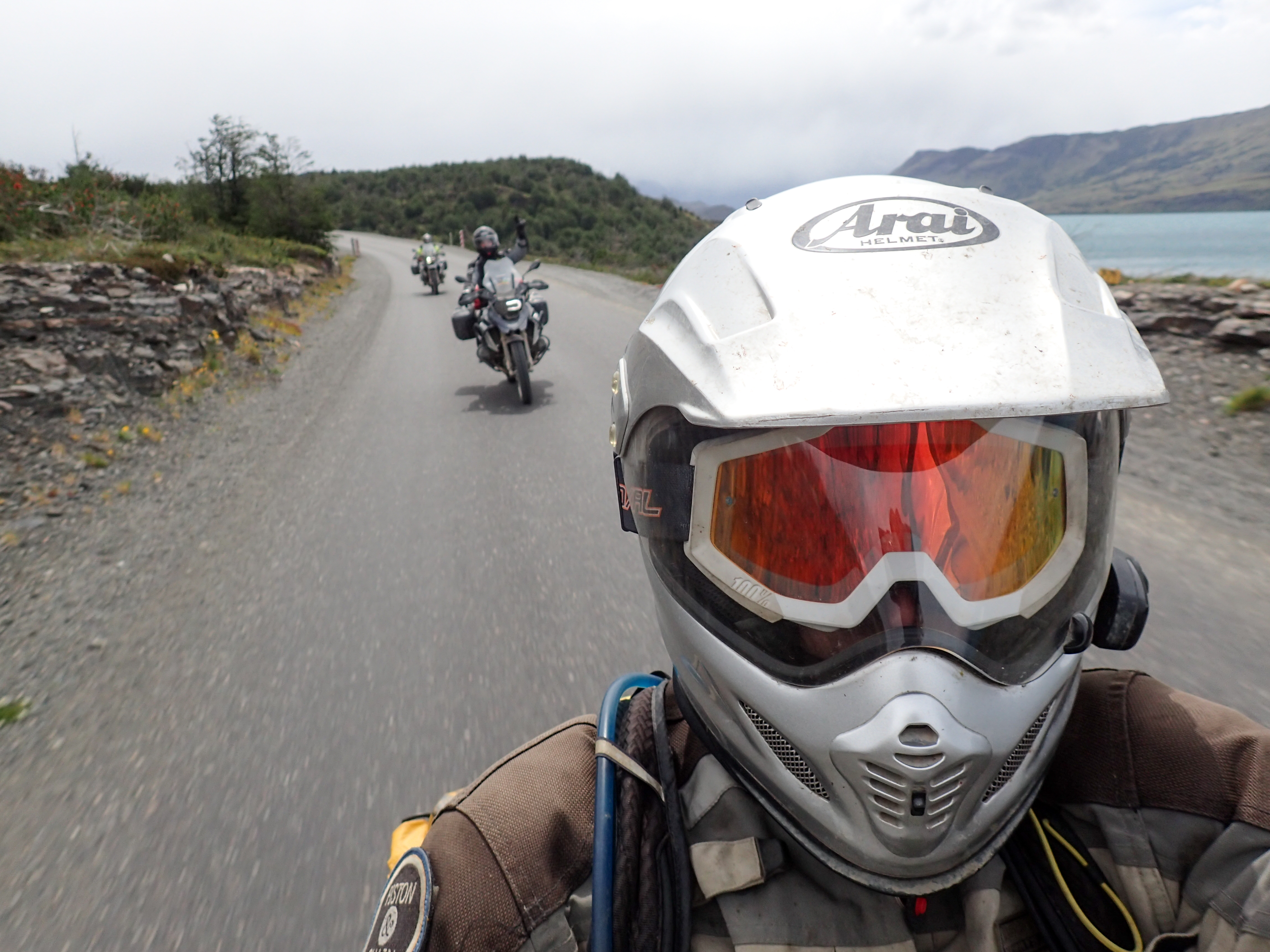
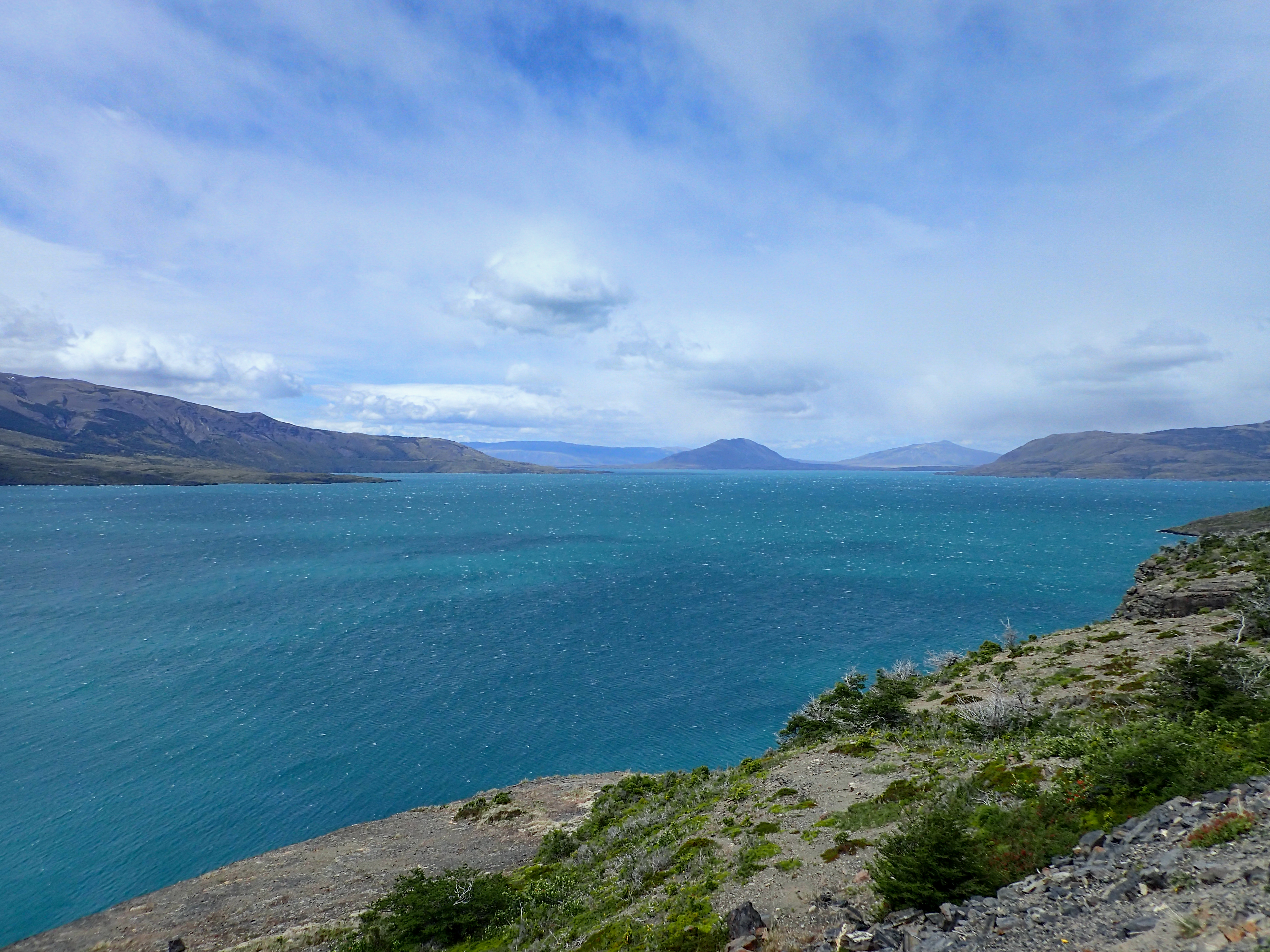
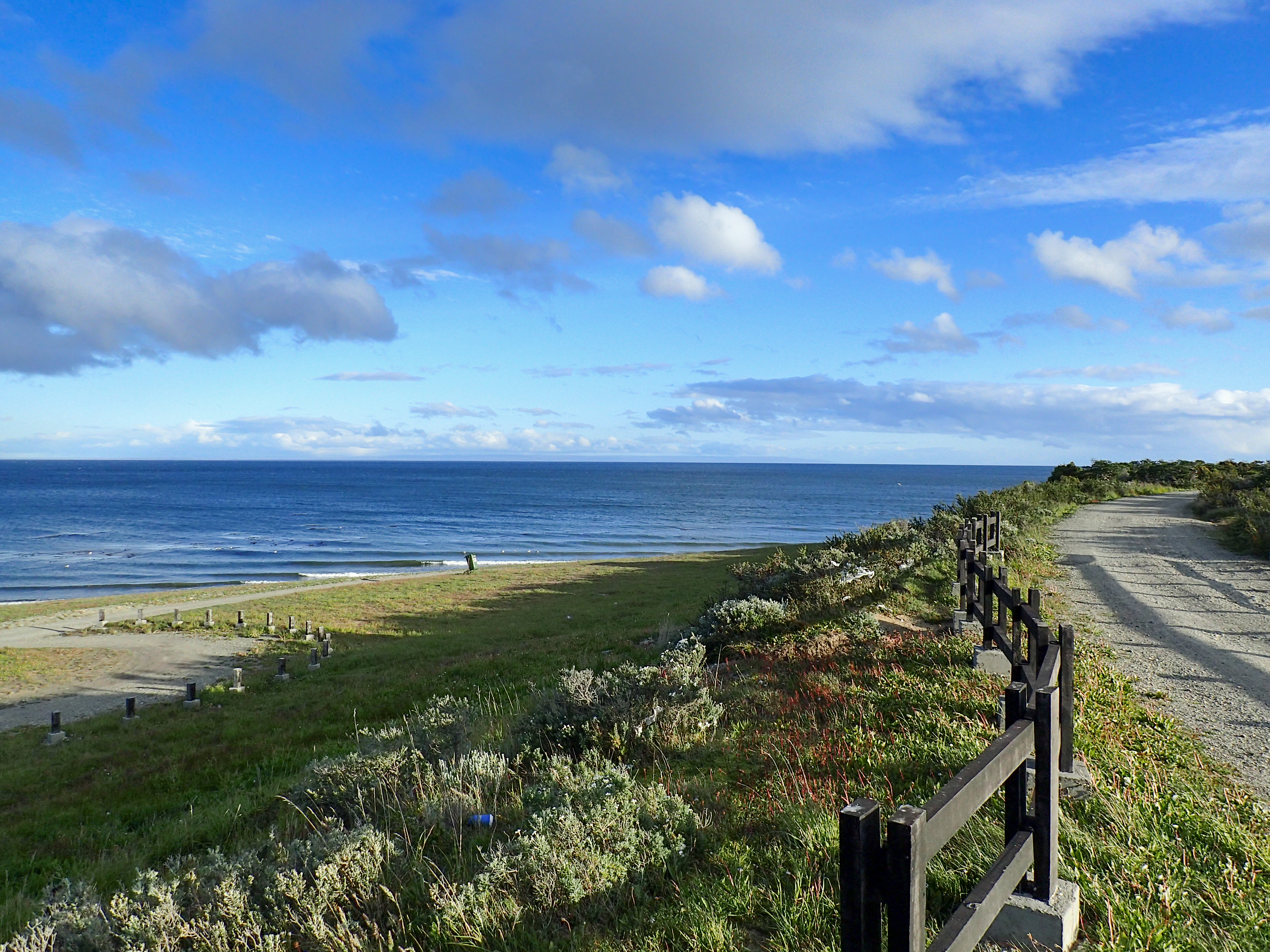
In the morning we decided to go for a hike before breakfast and breaking down the tents. A short hike turned into bushwhacking a scrambling up and down steep hills trying to get views of Torres. We found some cool spots off the beaten path. The wind at the top was really whipping. After the hike we combined our food and made a pot consisting of potatoes, onions, salami, cheese, eggs and a single granule of salt. Then we headed out for Puerto Natales. After a quick pit stop we decided to make the 3 hr drive to Punta Arenas. A very cold and extremely windy 3 hrs later we made it to Punta Arenas.


0 comments:
Post a Comment